Long-distance hike Kaiserblüte - Multi-Day Hiking Experience

Söll / Kitzbühel Alps
Difficulty ratings: medium
Route length: 80.6 km
Duration: 6 days

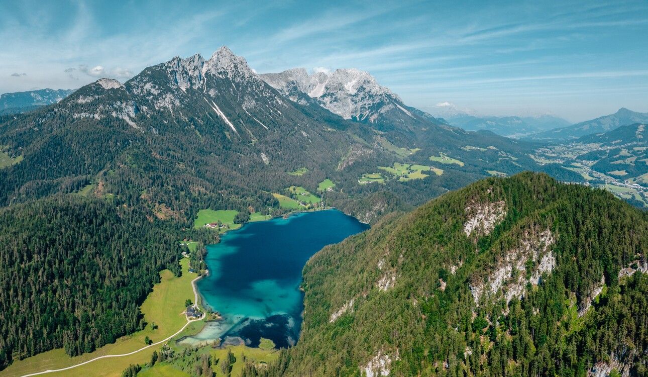
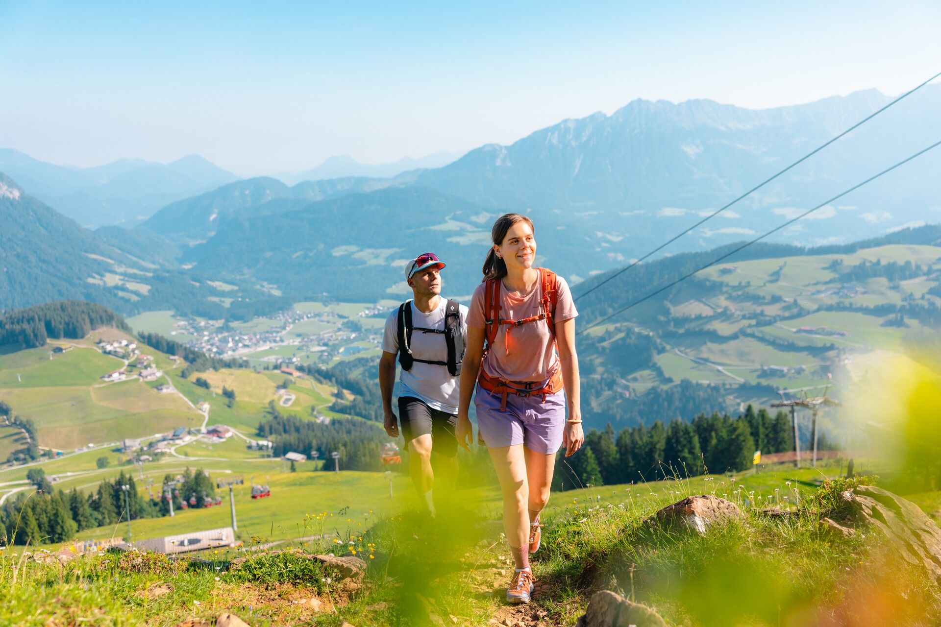
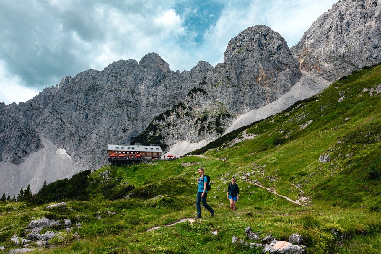
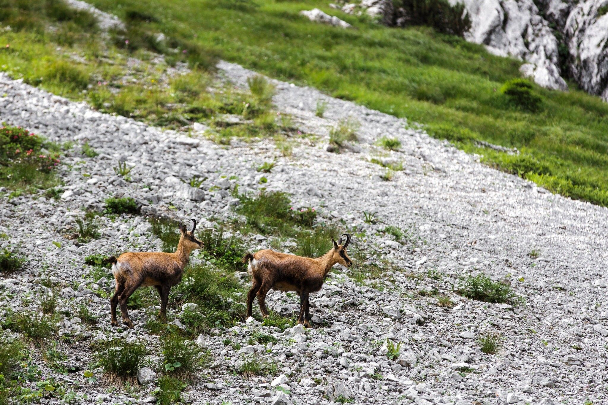
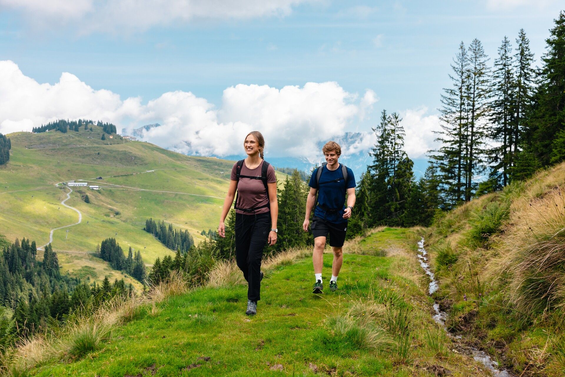
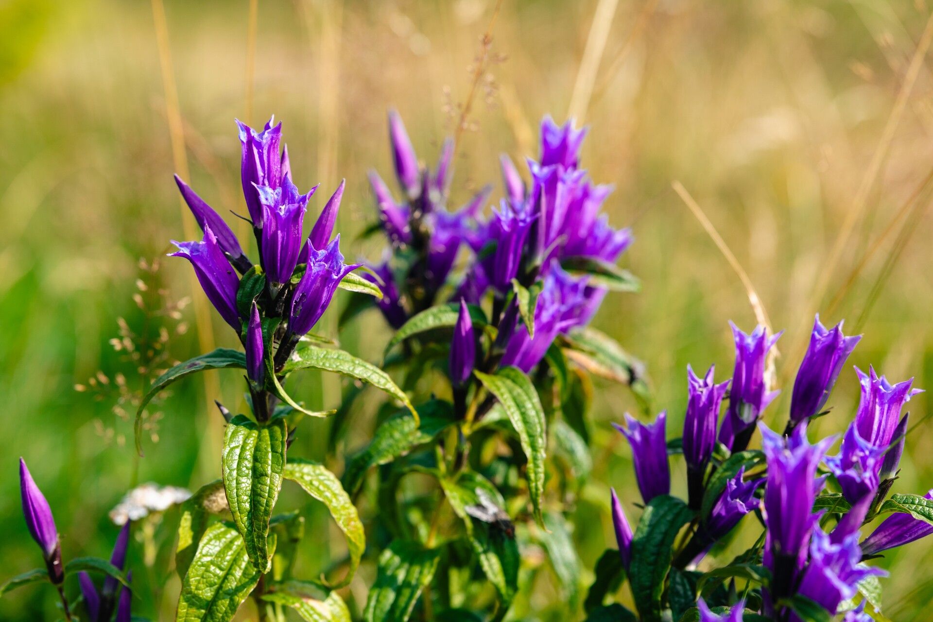
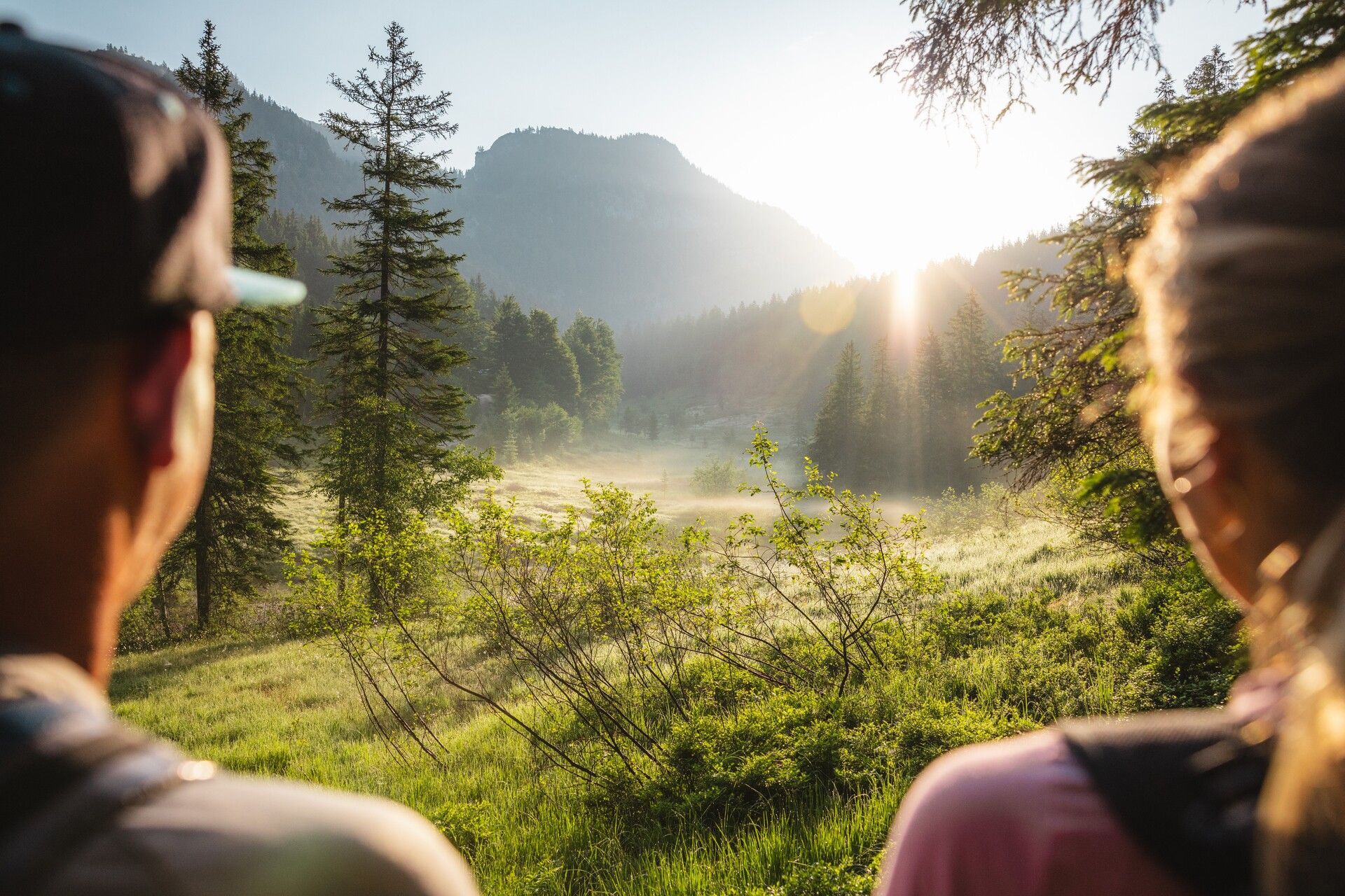
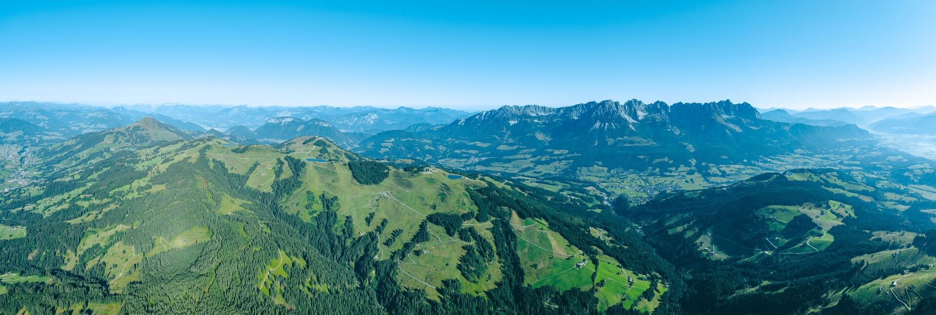
Explore peaceful forests, flowering alpine meadows, mystical moors, crystal-clear waters and dramatic rock faces on six individual day hikes that fan out from the valley like the points of a star – always with the striking Wilder Kaiser massif in view and just a light daypack on your back.

Tour information

  • Requirement: medium
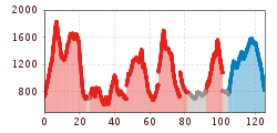
  • Length: 80.6 km
  • Duration: 6 days
  • Elevation uphill:5,050 hm
  • Elevation downhill:4,180 hm
Highest point1,829 m

Starting point

in einem der vier Kaiserorte Elllmau, Going, Scheffau oder Söll

Finishing point

in einem der vier Kaiserorte Elllmau, Going, Scheffau oder Söll
  • Fitness level 5 / 6
  • Technique 3 / 6

Features

  • Multi-day hike

Best time of year

  • January
  • February
  • March
  • April
  • May
  • June
  • July
  • August
  • September
  • October
  • November
  • December
Source: TVB Wilder Kaiser

Description

This varied multi-day hiking experience invites you to discover the diverse Wilder Kaiser region via scenic walking trails and moderately difficult mountain paths. Each of the six engaging stages takes you through impressive natural and cultural landscapes and a wide variety of habitats – with every day offering its own unique highlights and memorable moments.

Your base for the week is one of the many accommodation options in the valley, in one of the four charming Kaiser villages. From there, you set out each day with light gear for a new hiking adventure. Each stage begins and ends at points that are easily reached by the regional hiking buses, allowing you to return comfortably to your accommodation in the evening – and perhaps enjoy one of the local events in the area.
Because all routes radiate outward from the valley, the stages are flexible and easy to adapt – particularly helpful in changeable weather. Average walking time per day is between 4 and 7 hours. Most stages also offer rewarding options for ambitious hikers looking to extend their route.

• Water Stage
• Alpine Meadow Stage (Hochsöll–Brandstadl)
• Forest Stage
• Rock Stage
• Alpine Meadow Stage (Astberg–Hartkaiser)
• Moor Stage

Getting here

  • Arrival by public transport

    For details, see the individual stages

  • Parking

    For details, see the individual stages

Weather

Today

clear sky
28°C/14°C
10%0.2l5 km/h

Sun

clear sky
32°C/14°C
15%0.8l5 km/h

Mon

light rain showers
30°C/16°C
55%1.3l5 km/h
Go to weather forecast

More long-distance hiking trails

  • Gschnitztaler Hüttenstern

    Difficulty:medium
    Length:82.1 kmDuration:4:00 hElevation uphill:5,503 m
  • 2TälerTrail

    Difficulty:medium
    Length:92.0 kmDuration:41:30 hElevation uphill:5,550 m
  • Gschnitztaler Hüttenstern

    Difficulty:medium
    Length:10.8 kmDuration:4:14 hElevation uphill:538 m
  • KAT WALK FAMILY

    Difficulty:medium
    Length:52.5 kmElevation uphill:3,390 m
  • KAT WALK COMPACT

    Difficulty:medium
    Length:83.0 kmDuration:36:45 hElevation uphill:5,462 m
  • Karwendel tour

    Difficulty:difficult
    Length:44.2 kmDuration:24:00 hElevation uphill:3,955 m
  • Talweg Matrei i. O.

    Difficulty:medium
    Length:15.3 kmDuration:4:50 hElevation uphill:397 m
  • KAT Walk: Three Valleys Hike

    Difficulty:medium
    Length:69.0 kmDuration:30:00 hElevation uphill:3,684 m
  • Lechtaler Höhenweg

    Difficulty:difficult
    Length:84.5 kmDuration:45:00 hElevation uphill:6,773 m
  • Tiroler Pilgerweg

    Difficulty:medium
    Length:220.0 kmElevation uphill:1,840 m
  • Eagle Walk Tirol

    Difficulty:difficult
    Length:426.0 kmElevation uphill:30,000 m
  • KAT WALK ALPINE

    Difficulty:medium
    Length:113.0 kmDuration:45:00 hElevation uphill:6,300 m
  • Tiroler Burgenweg

    Difficulty:medium
    Length:63.0 kmDuration:25:00 hElevation uphill:2,228 m
  • Carnic altitude trail

    Difficulty:medium
    Length:160.0 kmDuration:71:00 hElevation uphill:9,499 m
  • 3-Tages-Tour Wilder

    Difficulty:difficult
    Length:11.0 kmDuration:4:51 hElevation uphill:1,122 m
Newsletter

The mountain is calling? So does our newsletter!

In our monthly newsletter we reveal the best holiday tips for Tyrol.