
Öffnungszeiten:Heute geschlossen
Ort:Söll
:Restaurant, Alpine pasture / hut / mountain restaurant
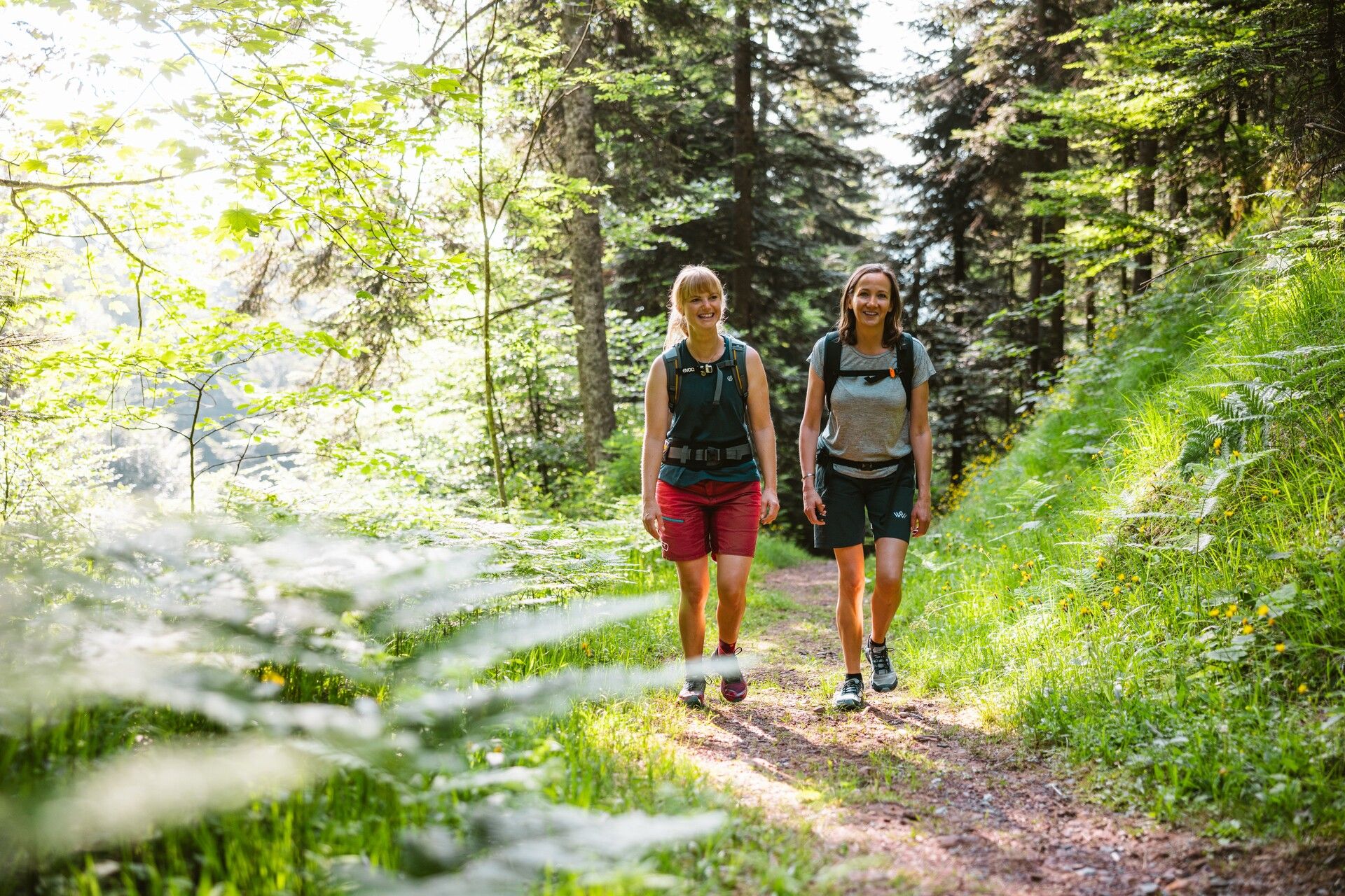
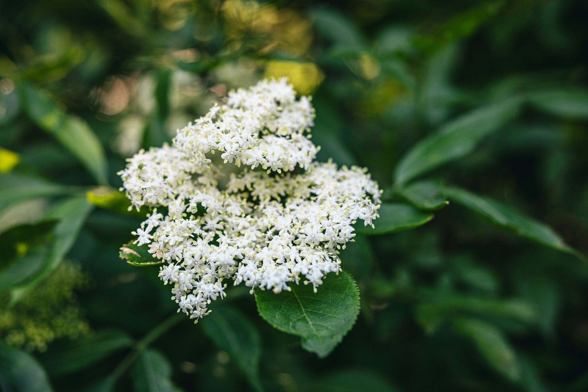
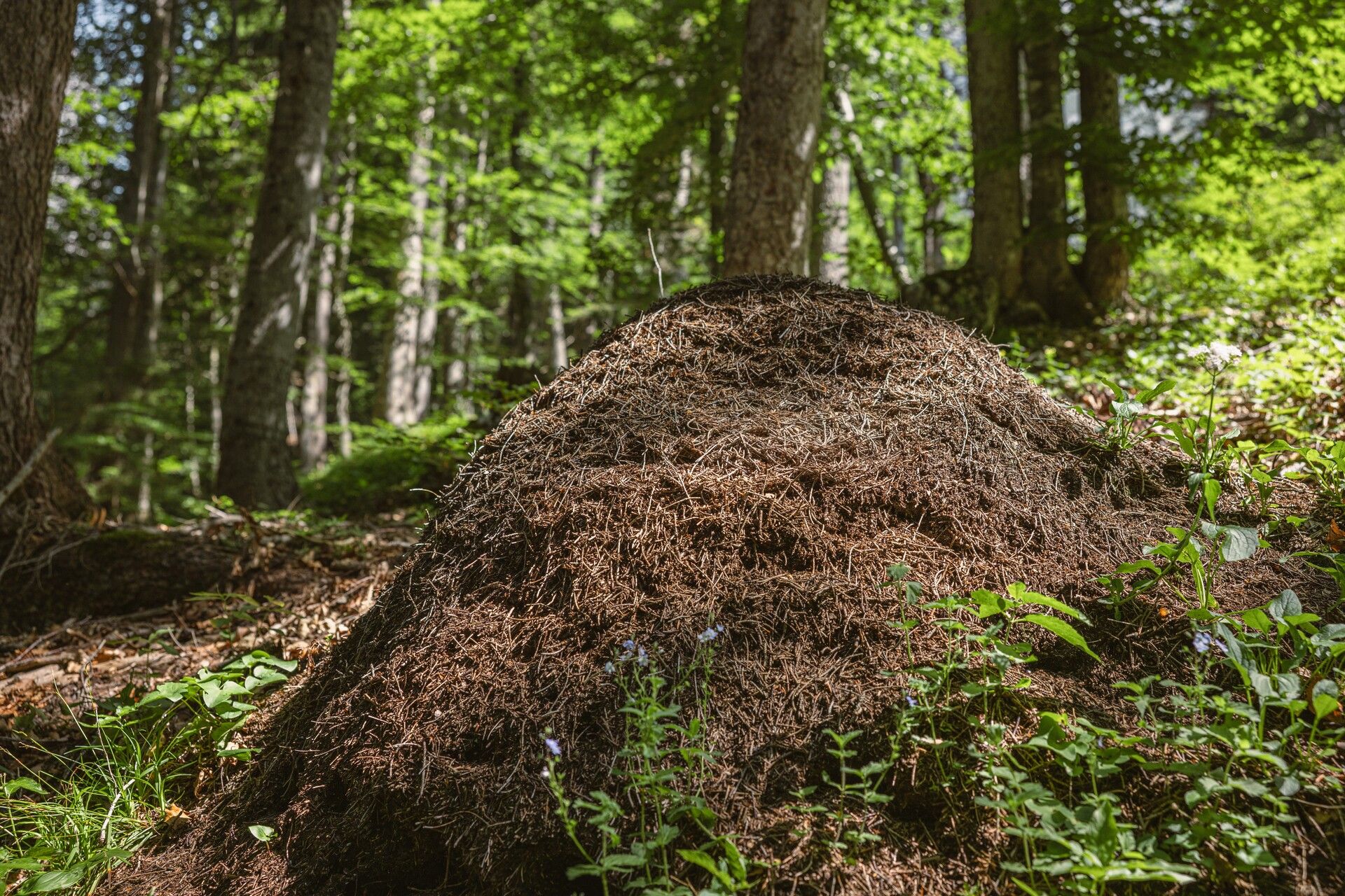
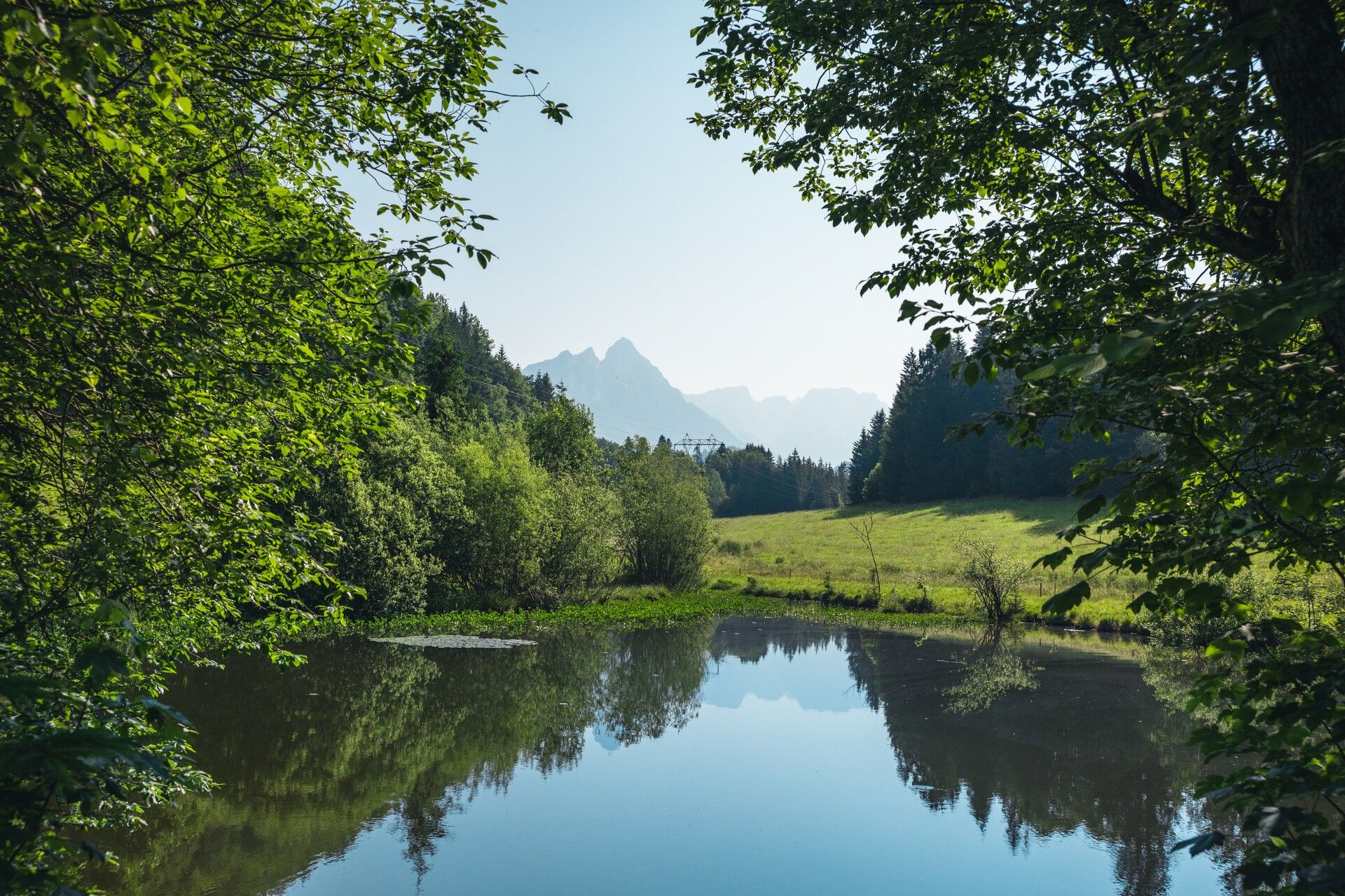
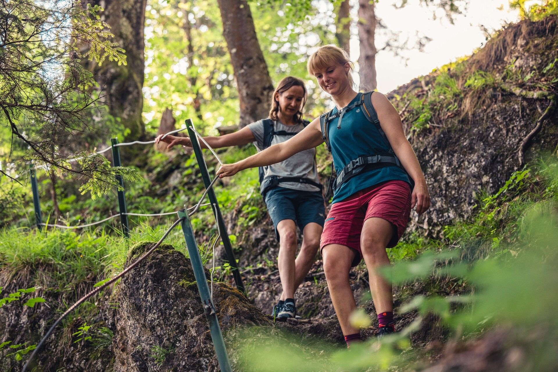
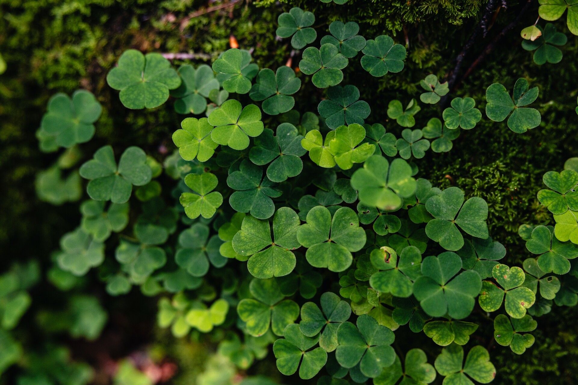
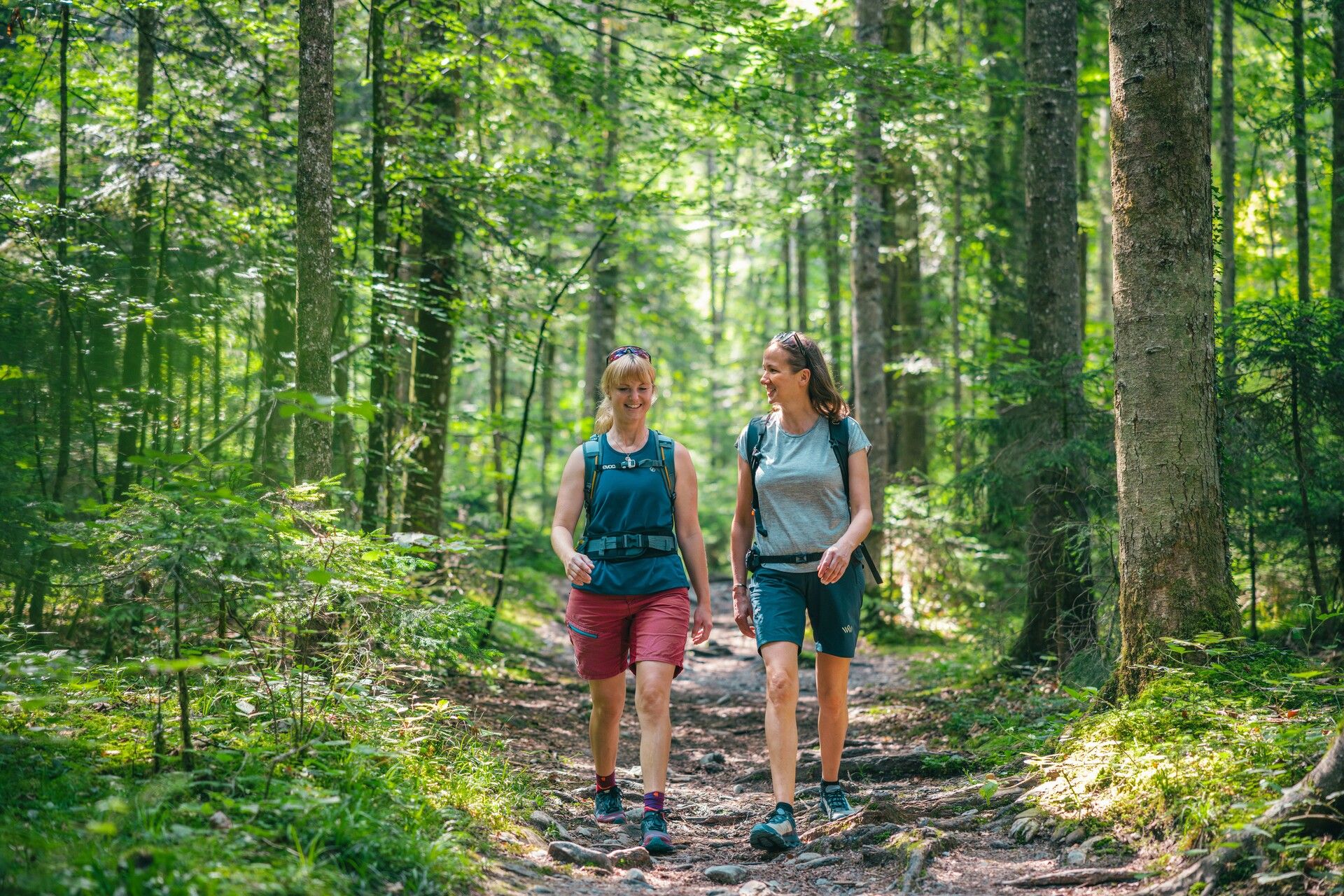
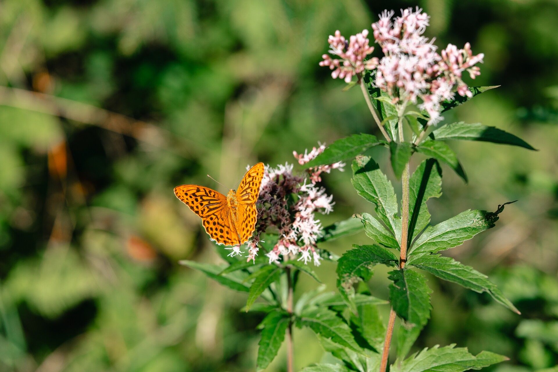
Step into the tranquil world of the forest – accompanied by the scent of moss and resin, shaded paths, and a thousand shades of green as far as the eye can see.
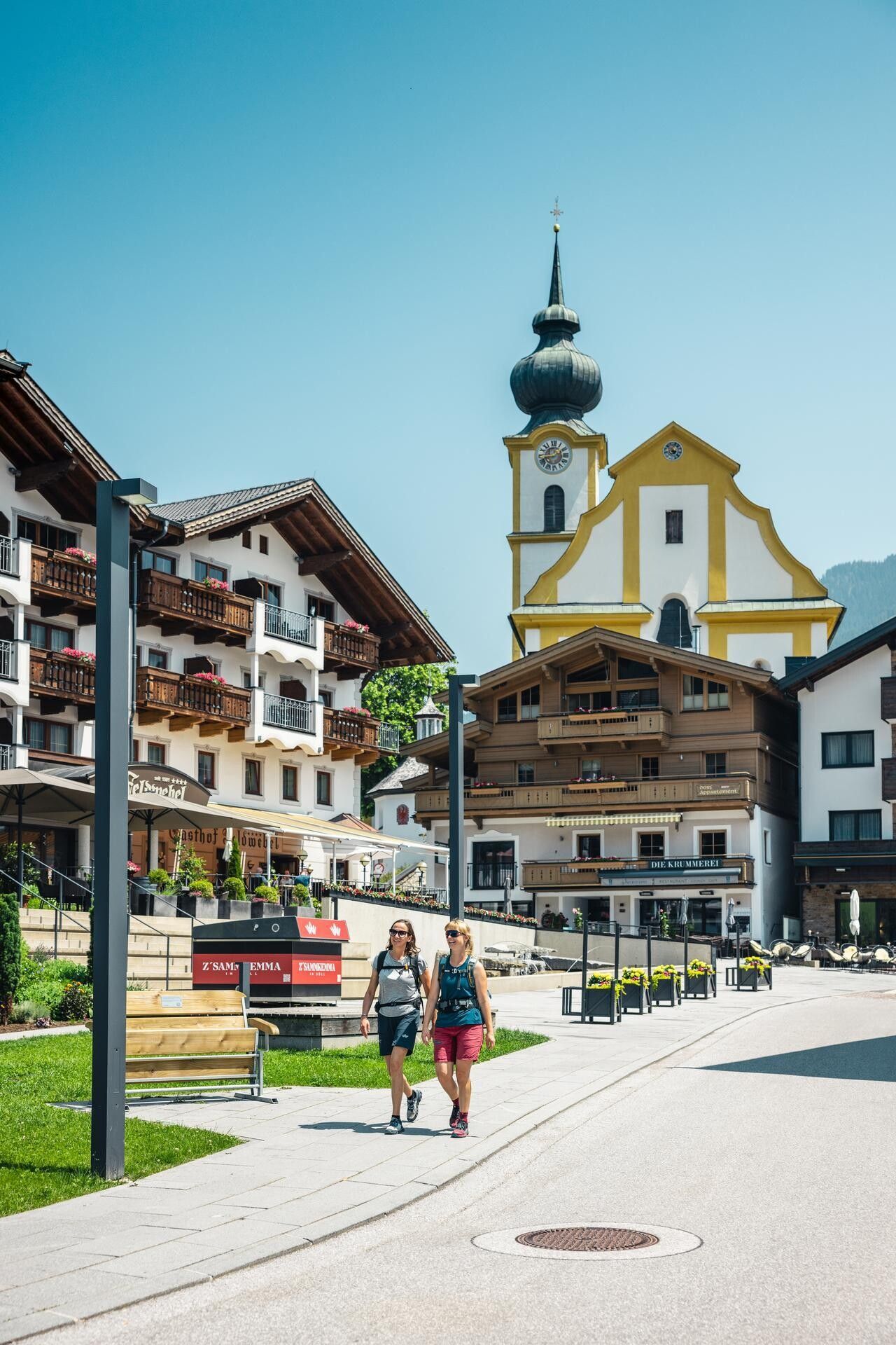
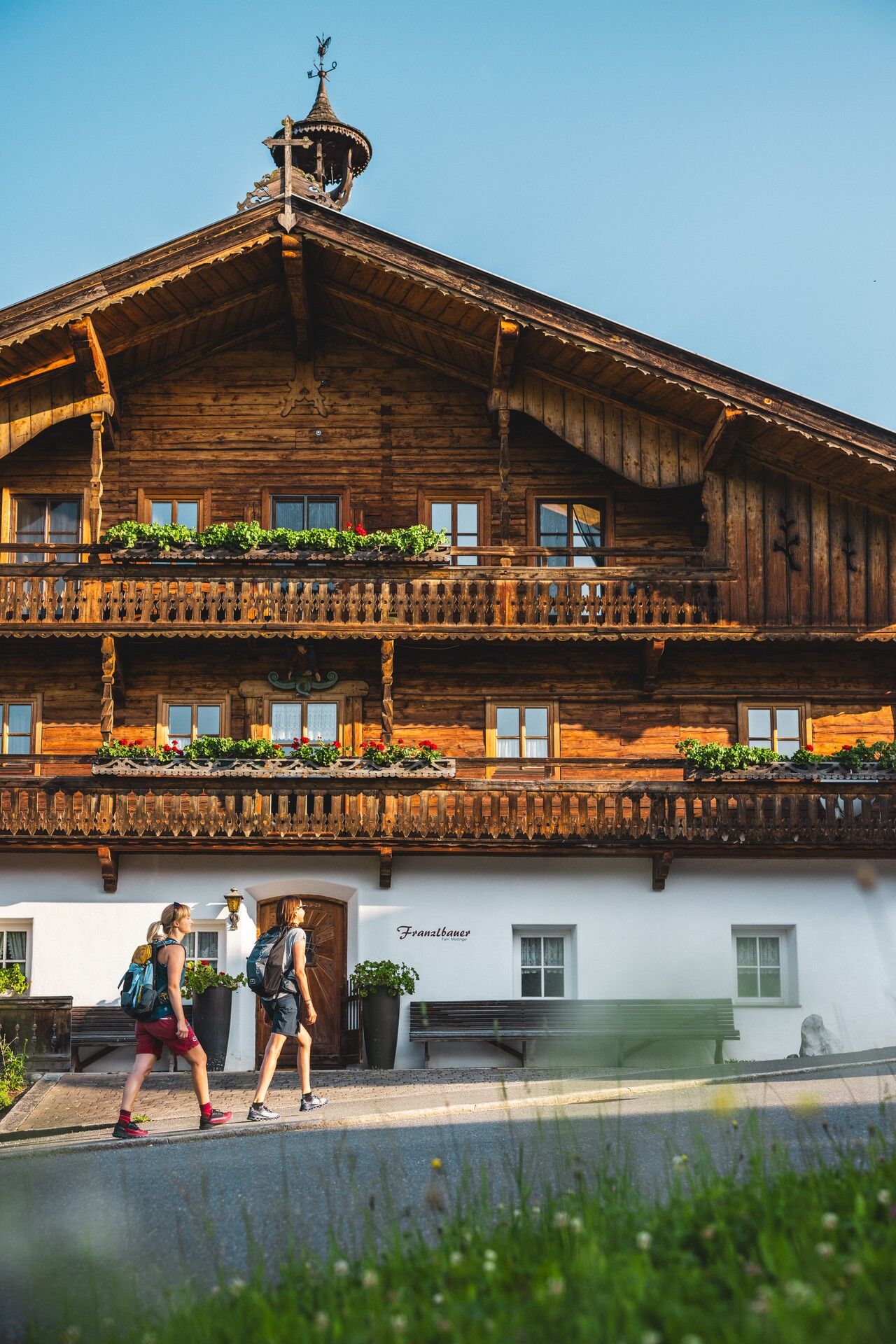
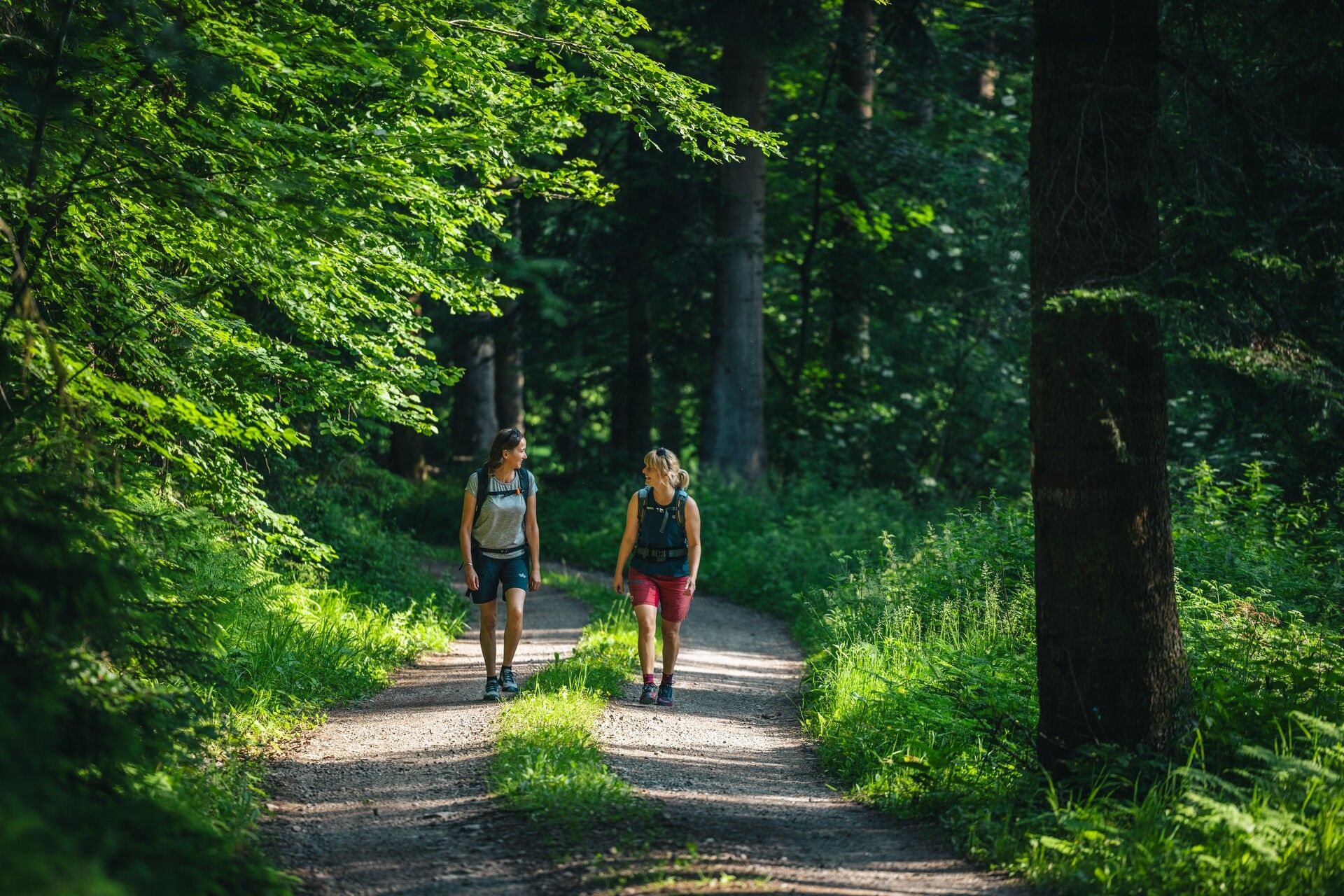
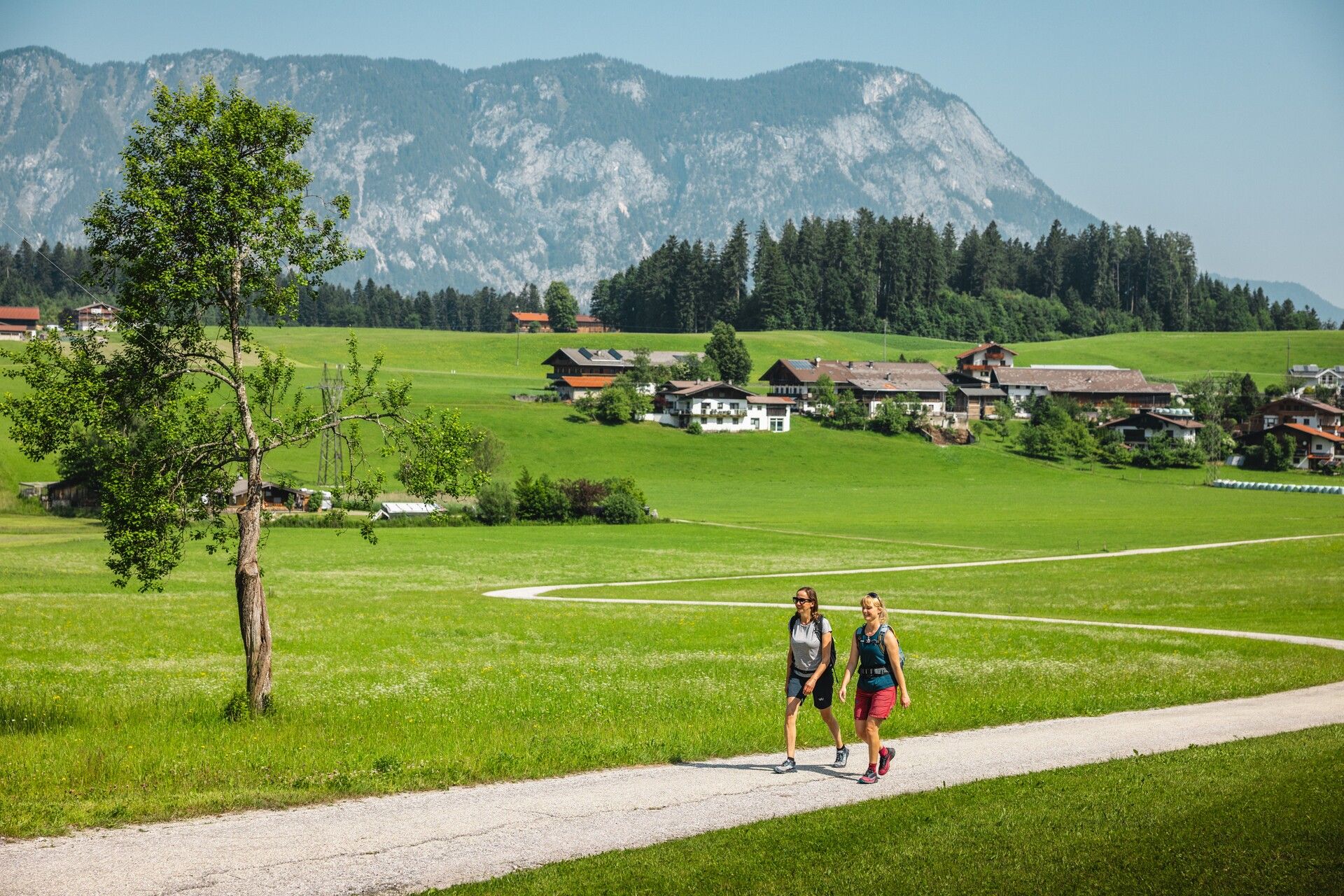
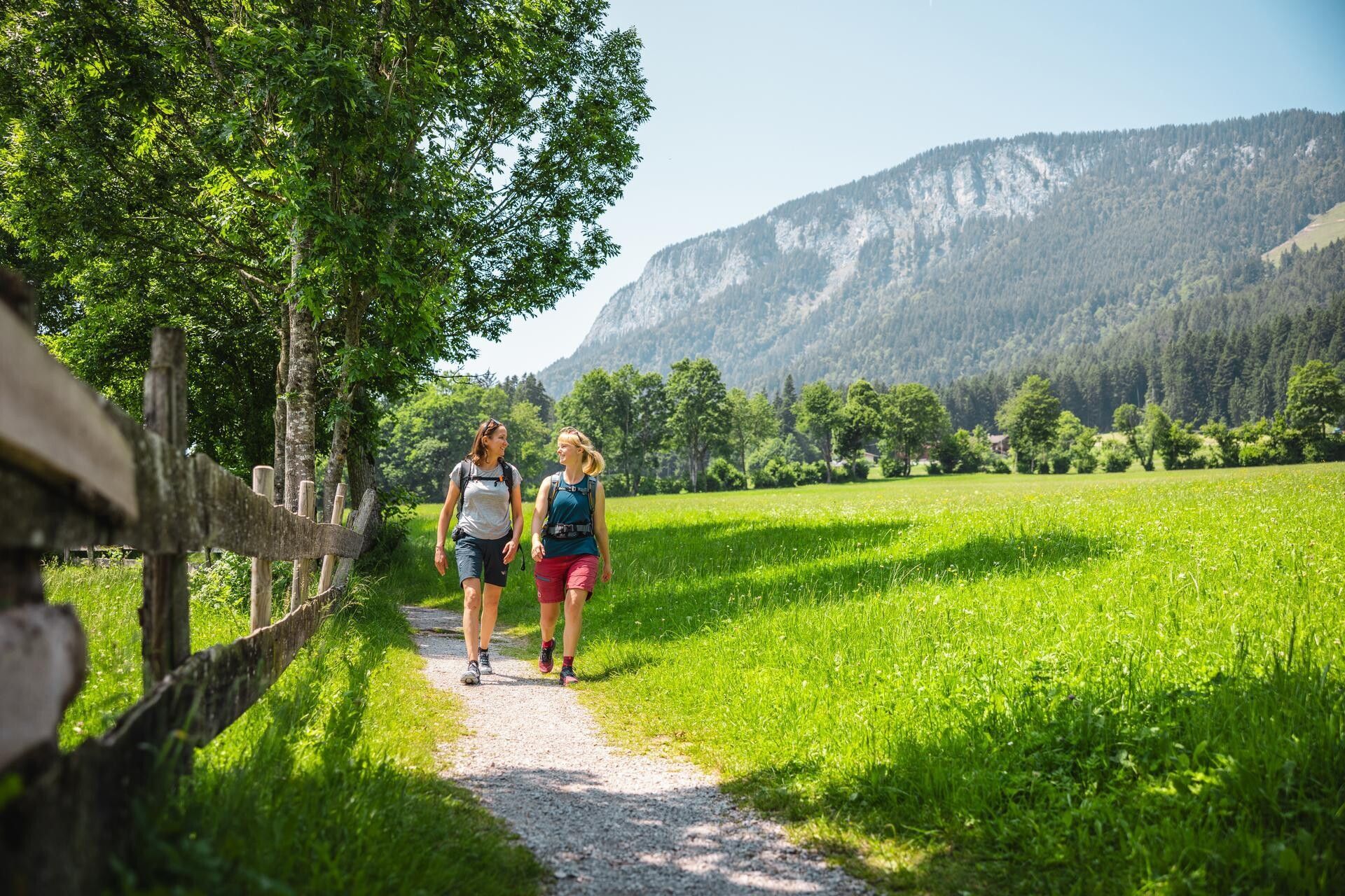
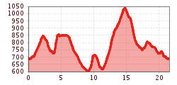
The hike begins in the village centre of Söll and leads through the Dorfbichl area to the Franzlhof. At the signpost just after the Franzlhof, turn left and follow the road uphill until it levels out after a left-hand bend. Here, turn right onto the road and continue along trail no. 5/60 towards Schwoich.
At the next signpost, take the forest path branching off to the left and follow it downhill. Cross the Donnersbergbach stream, then turn right onto the tarmac road, passing the Pölvenalm on your left. At the next fork, keep left and continue through the forest until you reach the Haberland junction. This is a great spot for a short rest on the bench with views of the Wilder Kaiser. Then keep left again and follow trail no. 60 further in the direction of Schwoich.
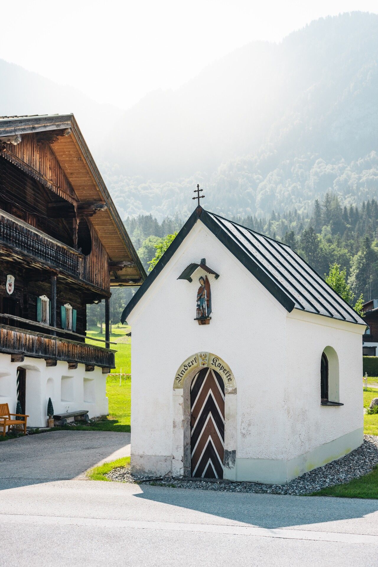
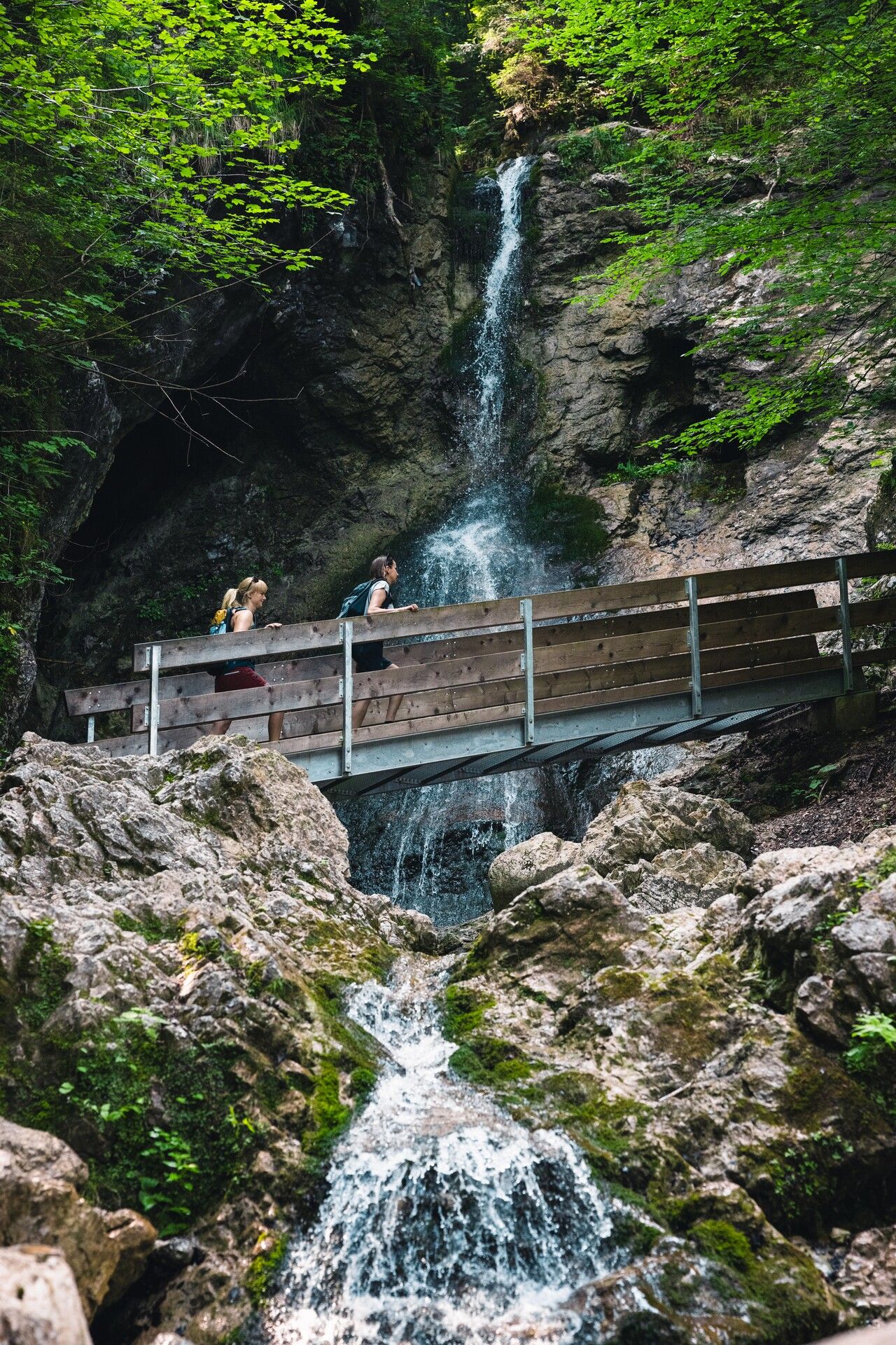
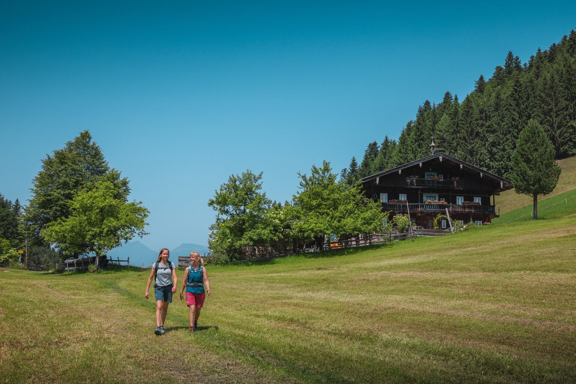
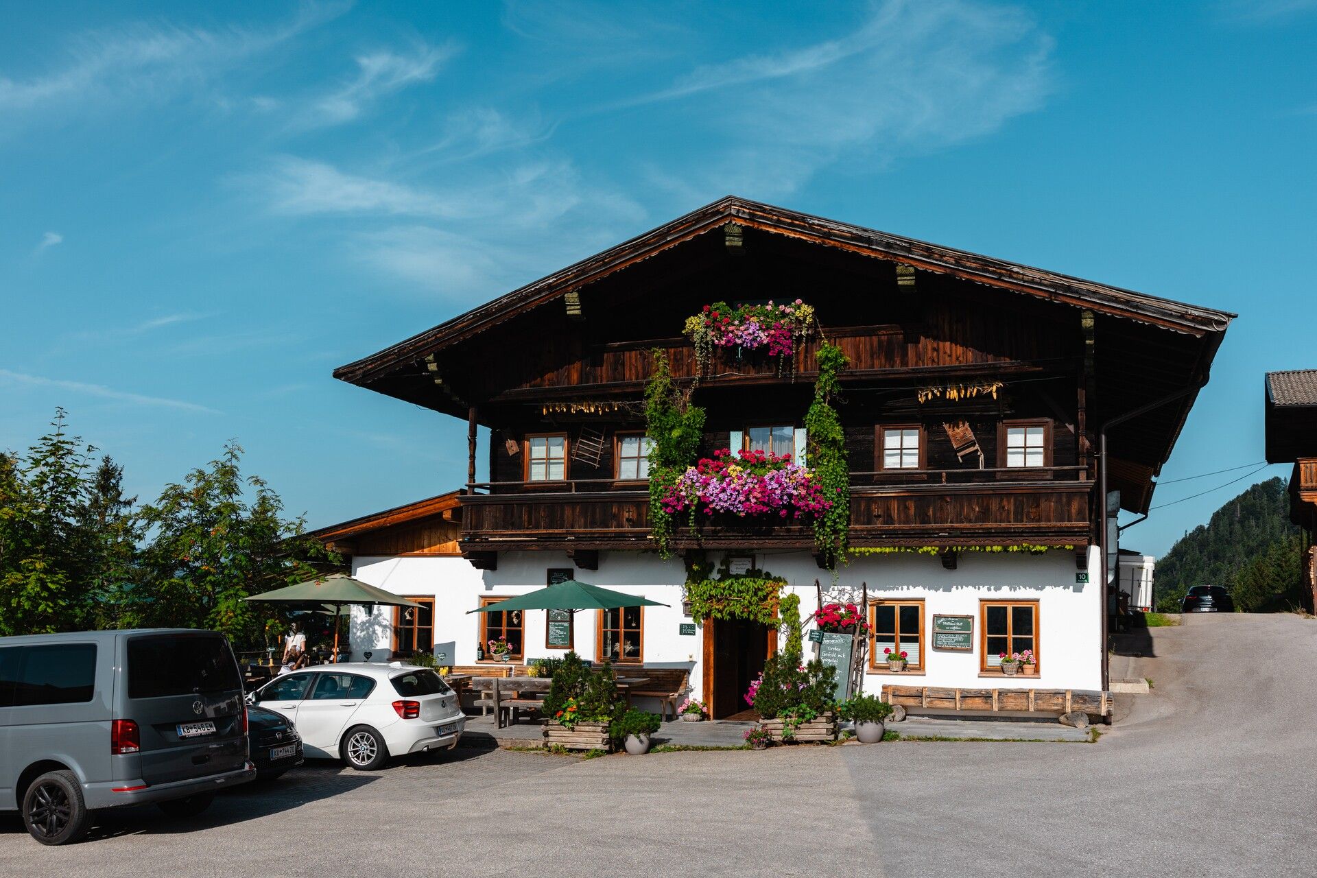
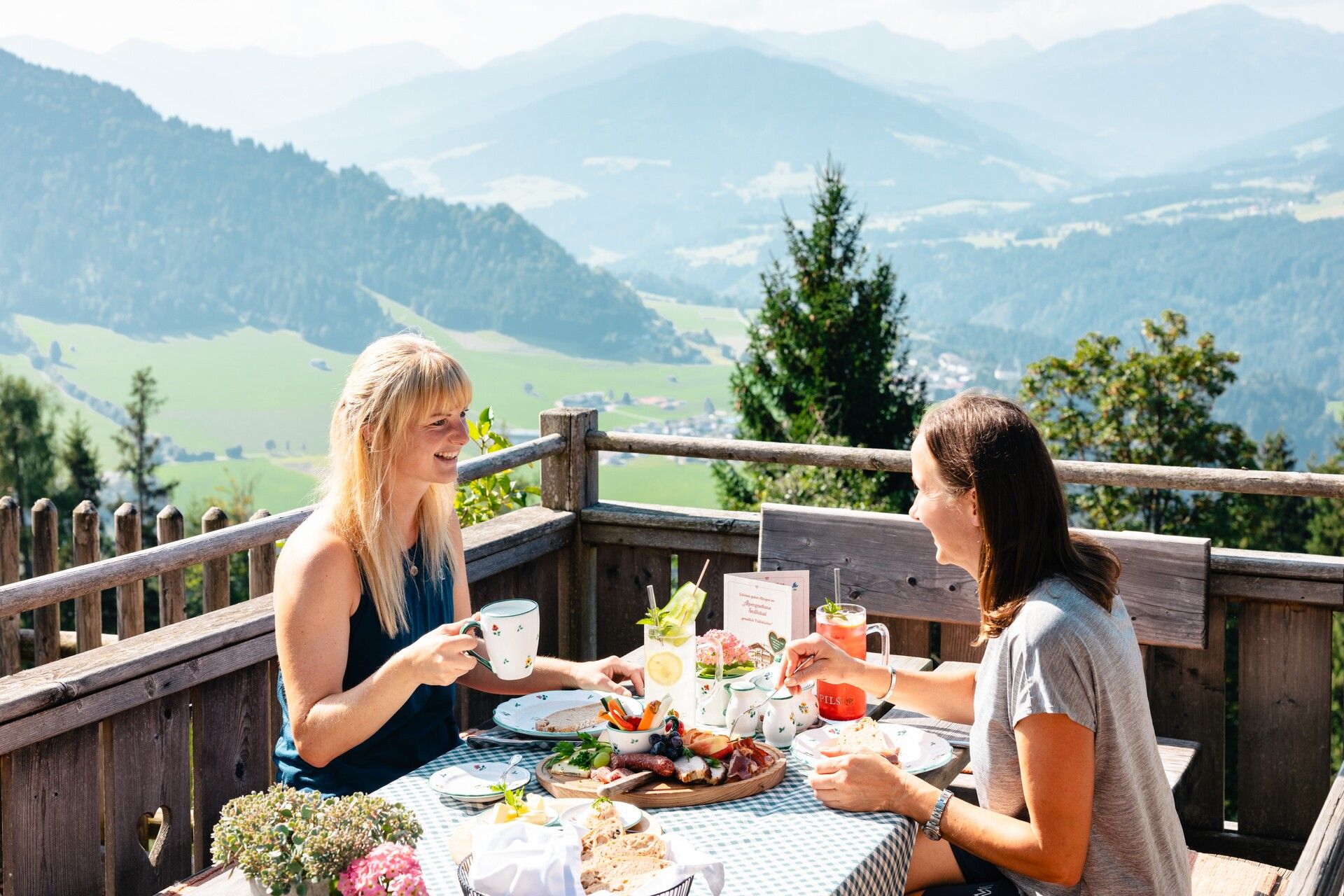
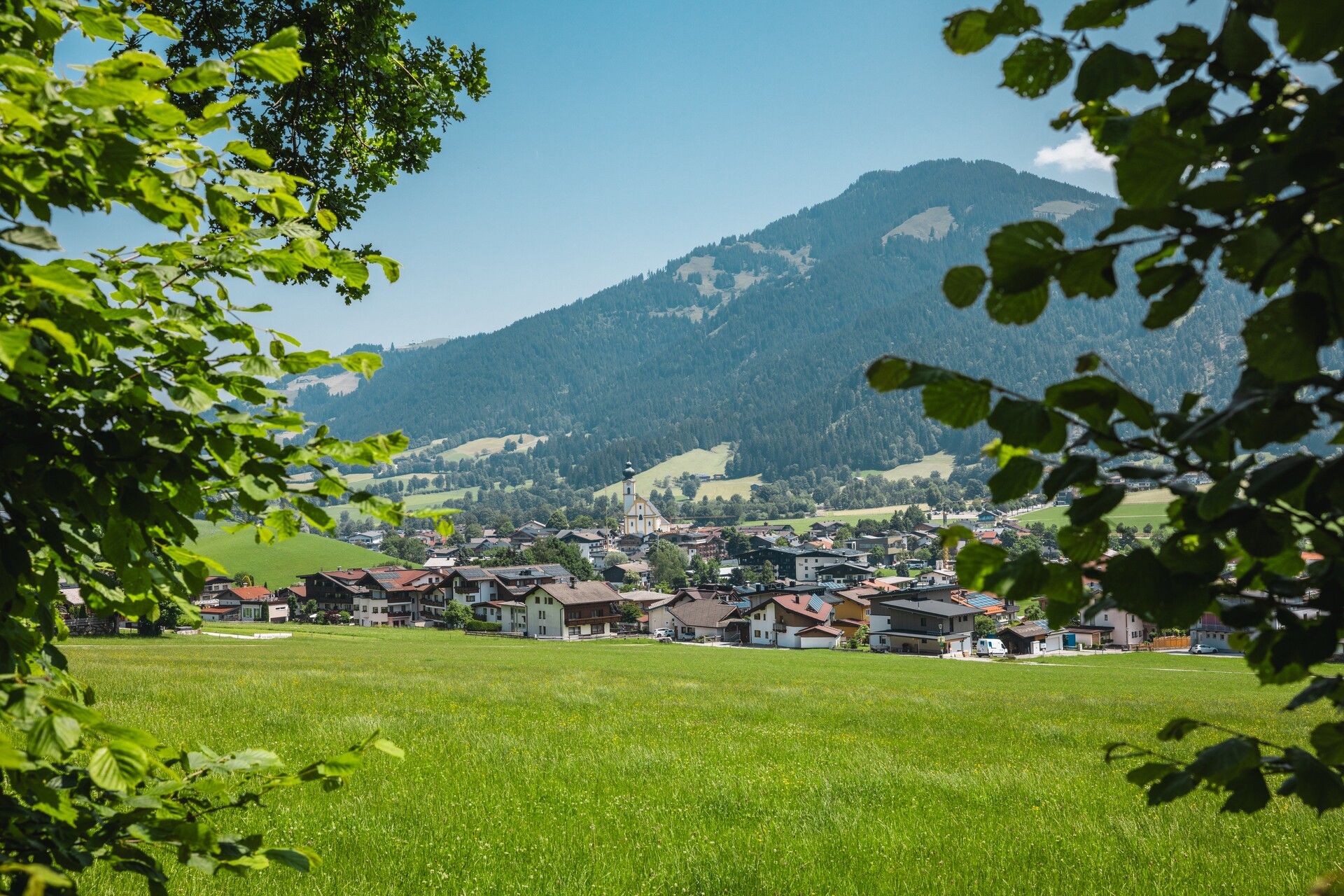
From the clearing above the Franzlalm, head left and zigzag uphill. Just before the entrance to the Peppenau tunnel, bear right and continue through the woods until you reach the hamlet of Peppenau. Stay on trail no. 60 to enjoy idyllic forest paths leading into the Waldschönau district, home to the Anderl Chapel. From there, continue on to Habring, where a left-hand ascent takes you to the Häring Waterfall. Cross two bridges to reach this local power spot – the sound of the water offering a welcome refreshment. From the waterfall, follow the path uphill towards Bad Häring via Fleck. Just beyond the Fleck district, a beautiful view opens up over Bad Häring – Tyrol’s first spa town – and the Inn Valley. When you reach Kirchstraße, turn left towards the Stallhäusl mountain inn. If you're interested in mining history, you can take a short detour along the “Mining & Coal” themed trail before continuing along the Glaurachbach stream into the Lengau area. At the fork near the farm, turn right onto the forest road and follow it to the Alpengasthof Stallhäusl.
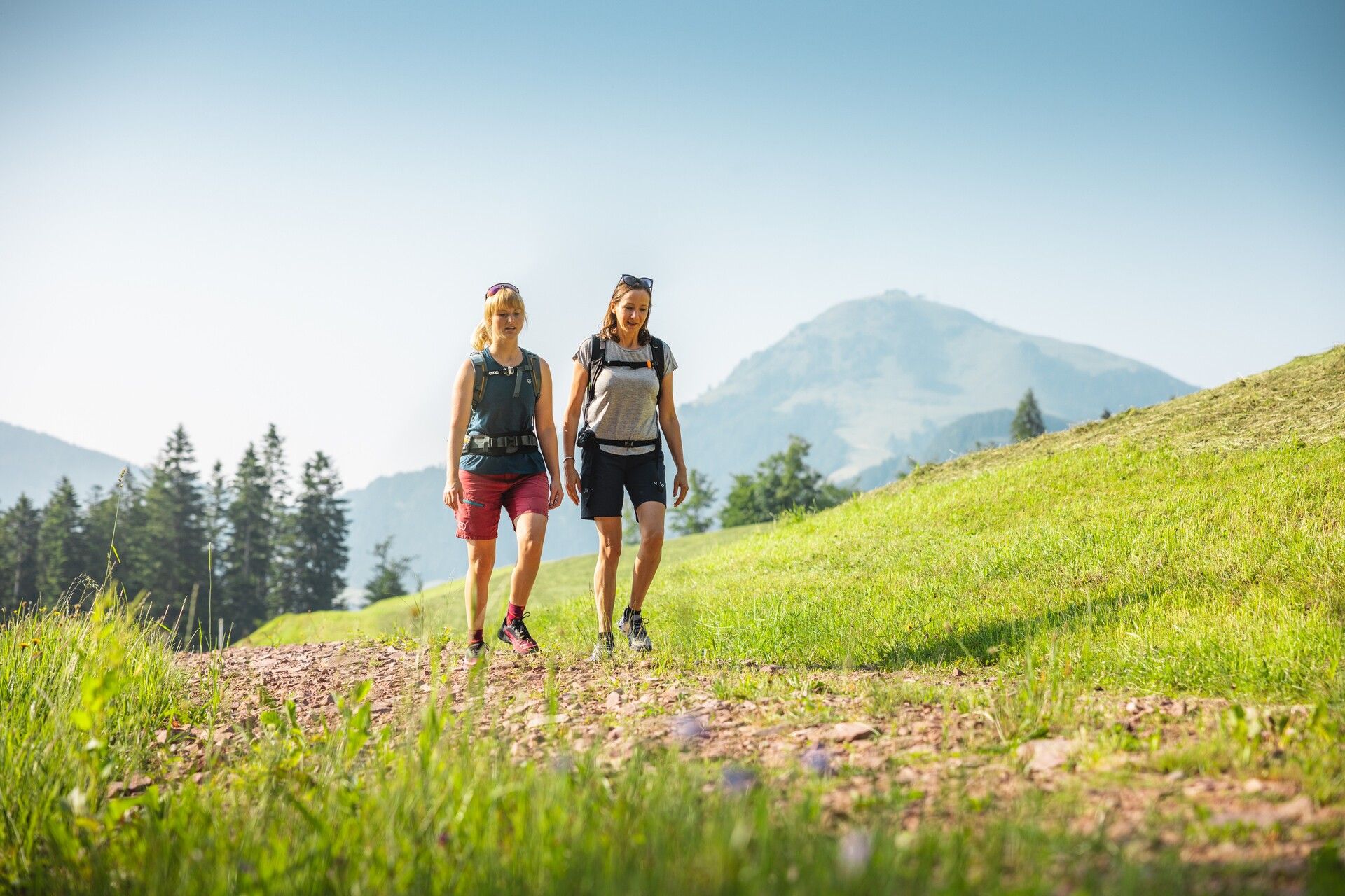
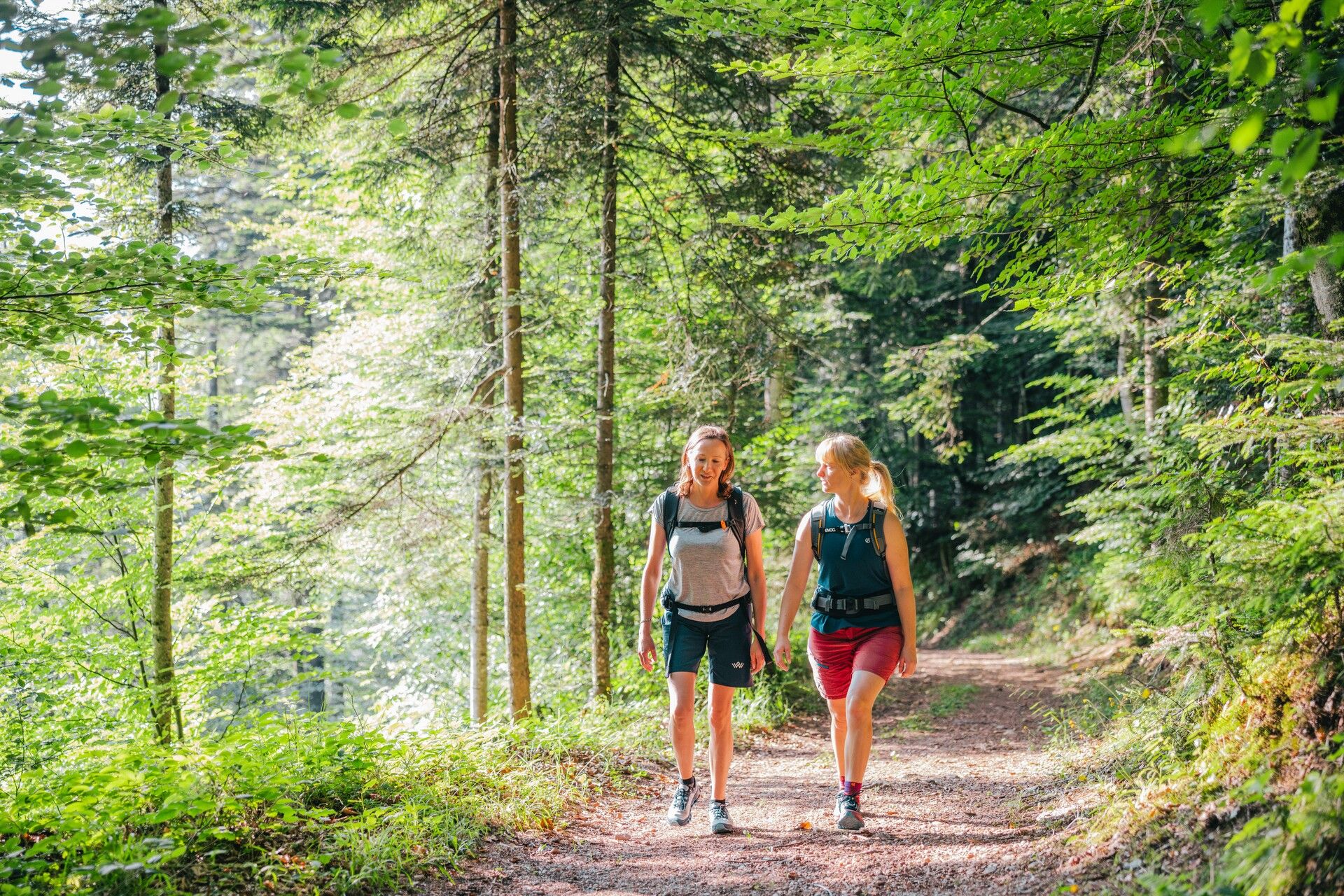
After a well-earned rest and a bite to eat at the mountain inn, follow the road briefly downhill, then turn left onto the forest trail (marked with a red dot) for a steeper descent into the valley. With the Wilder Kaiser always in view, you continue through gentle meadows and hamlets until you reach the Hotel Alpenschlössl. From there, the route climbs briefly once more before turning right into the Reiterdörfl area.
Just past the Hotel Beim Hochfilzer, turn left again onto the Sunnseitweg and continue on to the Oberkollerhof, a hereditary farm over 800 years old. The Koller family has been distilling schnapps here for generations – tours and direct sales are available by prior arrangement. Continue along the edge of the forest until you return to the Franzlhof. From there, it’s a short walk back to the village centre of Söll.
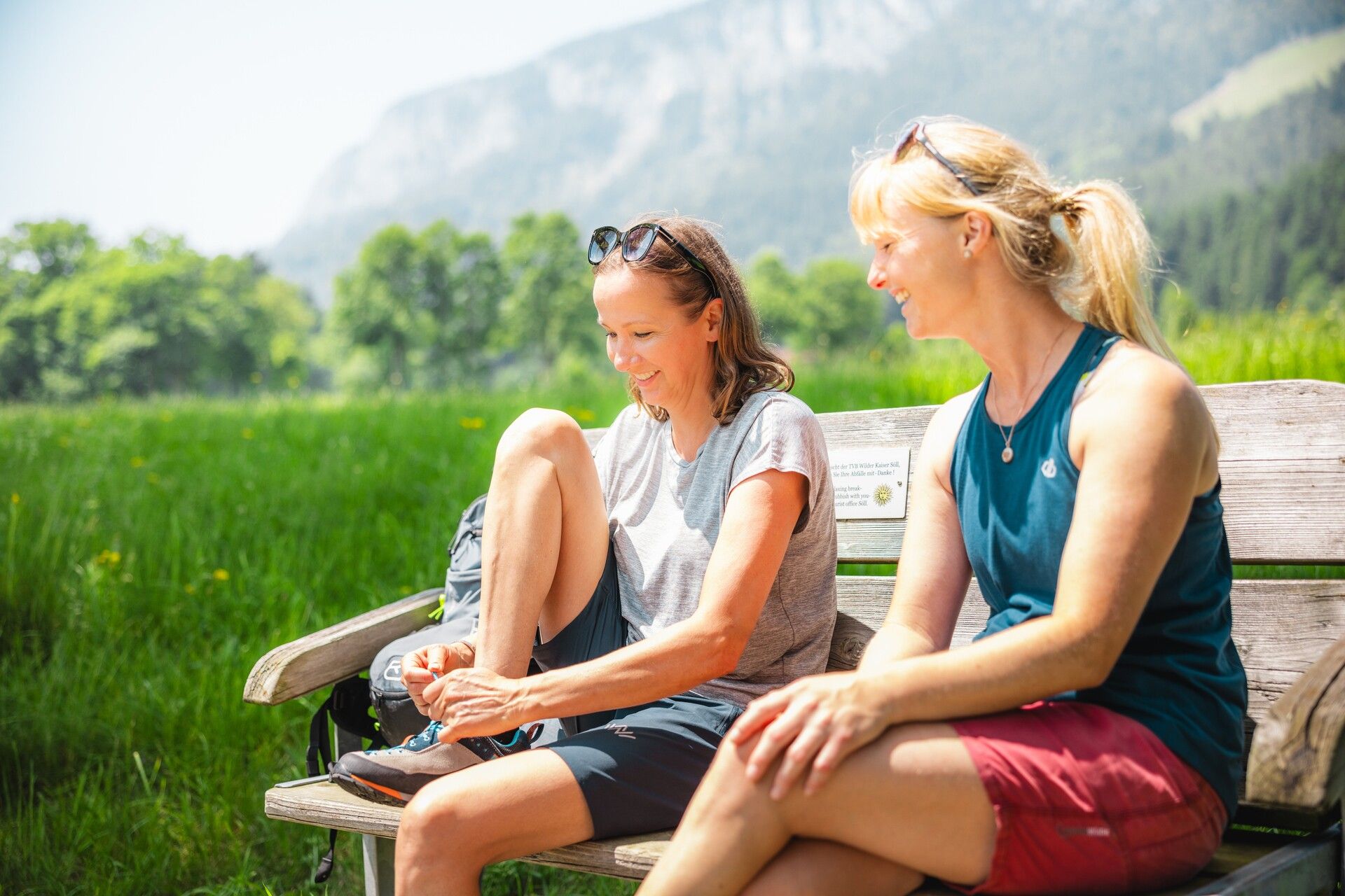
Tip: Be sure to bring enough food and drink!
80 KaiserJet and 865+866 VVT-Regiobuslines: Söll Dorf
More information at: www.wilderkaiser.info/mobility
West Pölven public car park, Söll (689 m) – free


