
This immersive hike takes you from the delicate moorland ecosystem of Hüttelmoos to the spectacular Schleier Waterfall and on to alpine pastures with panoramic views.

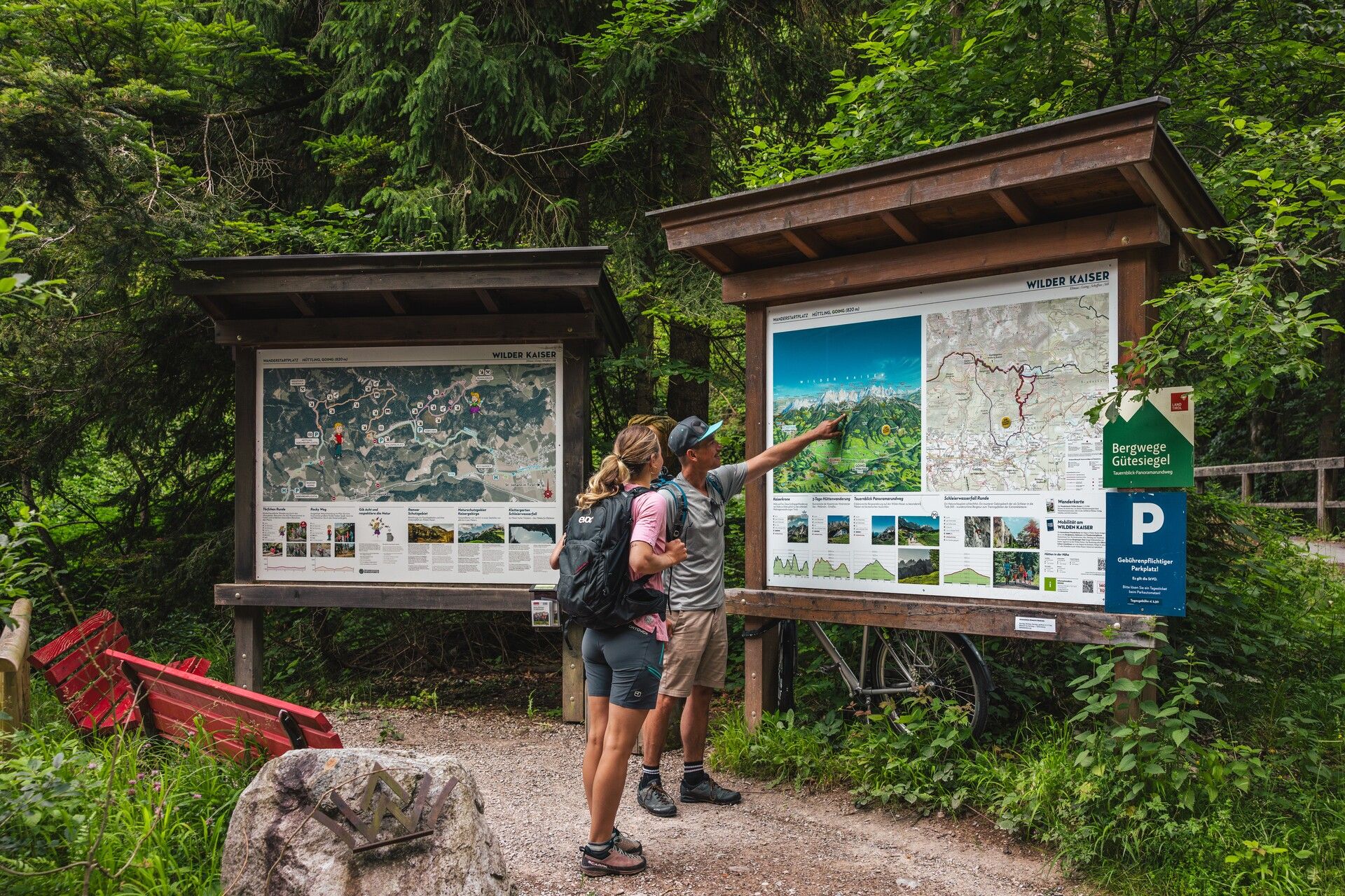
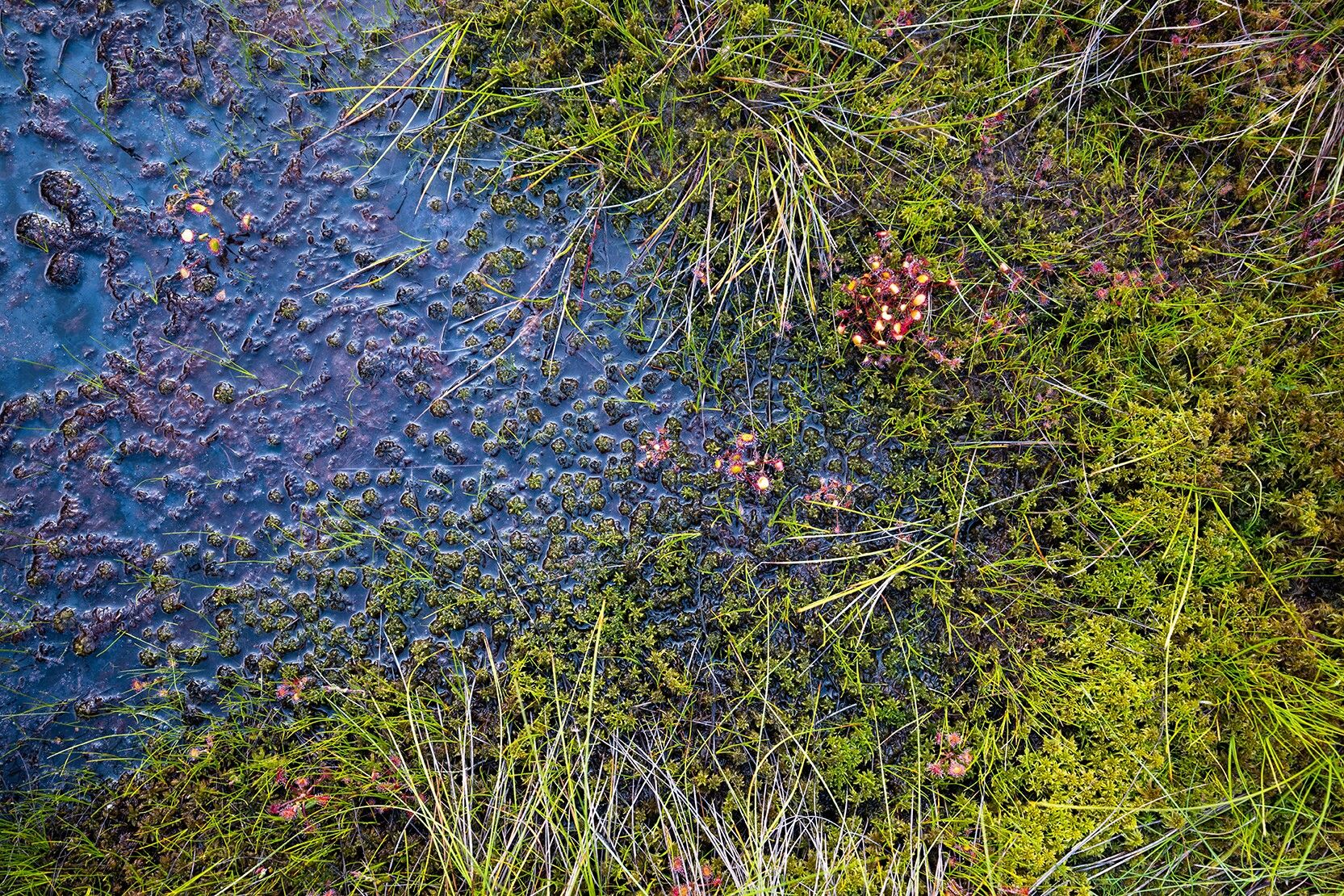

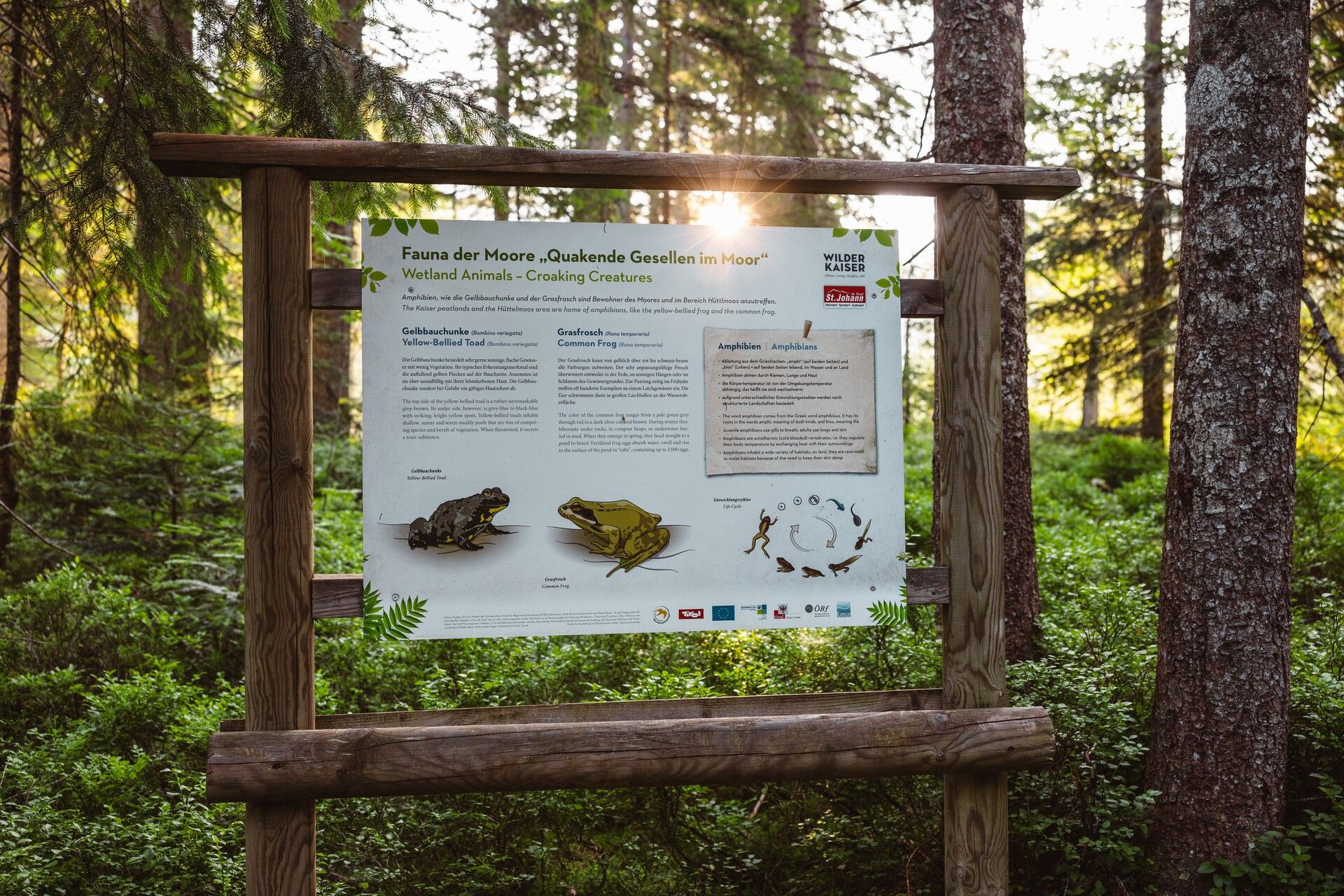
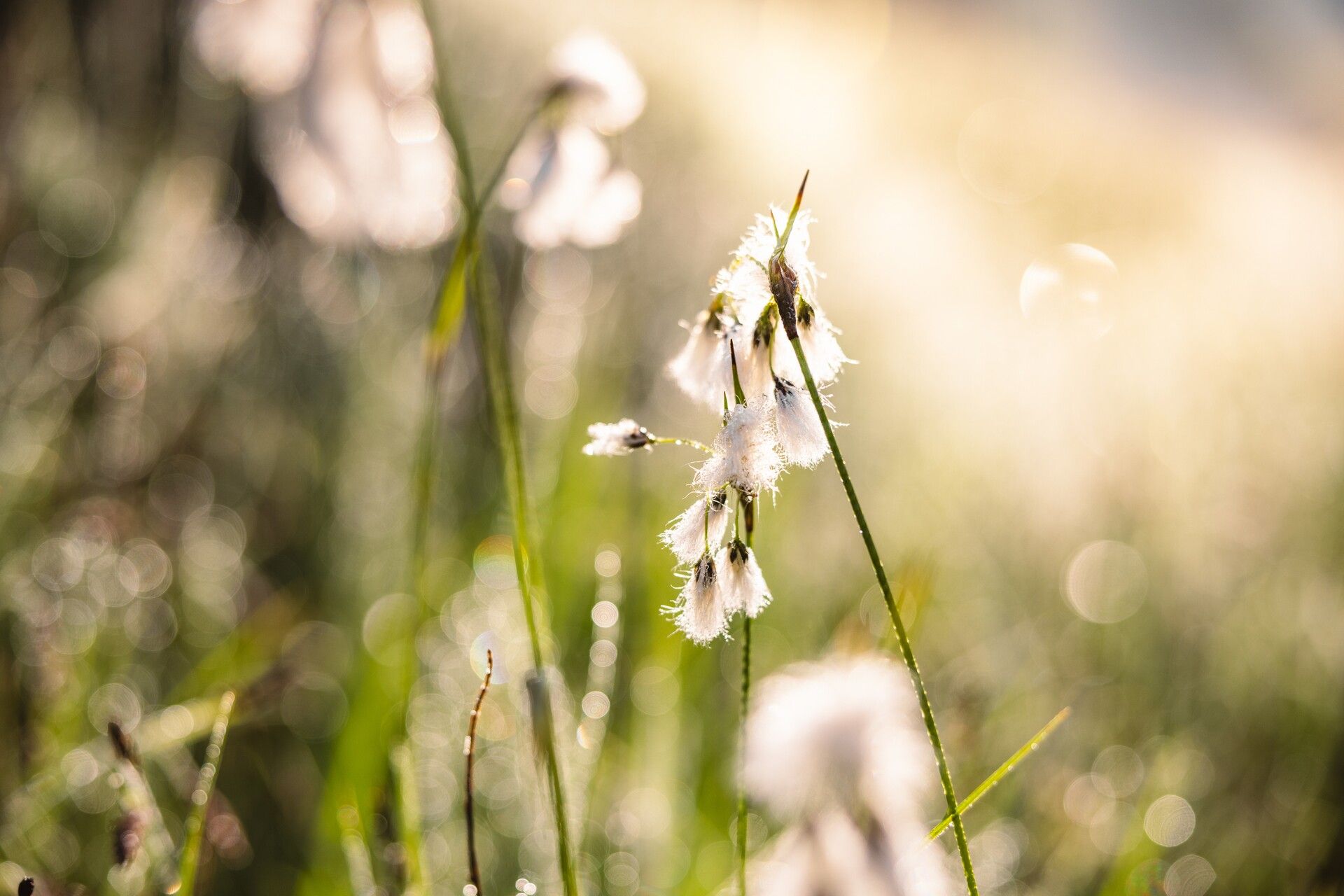
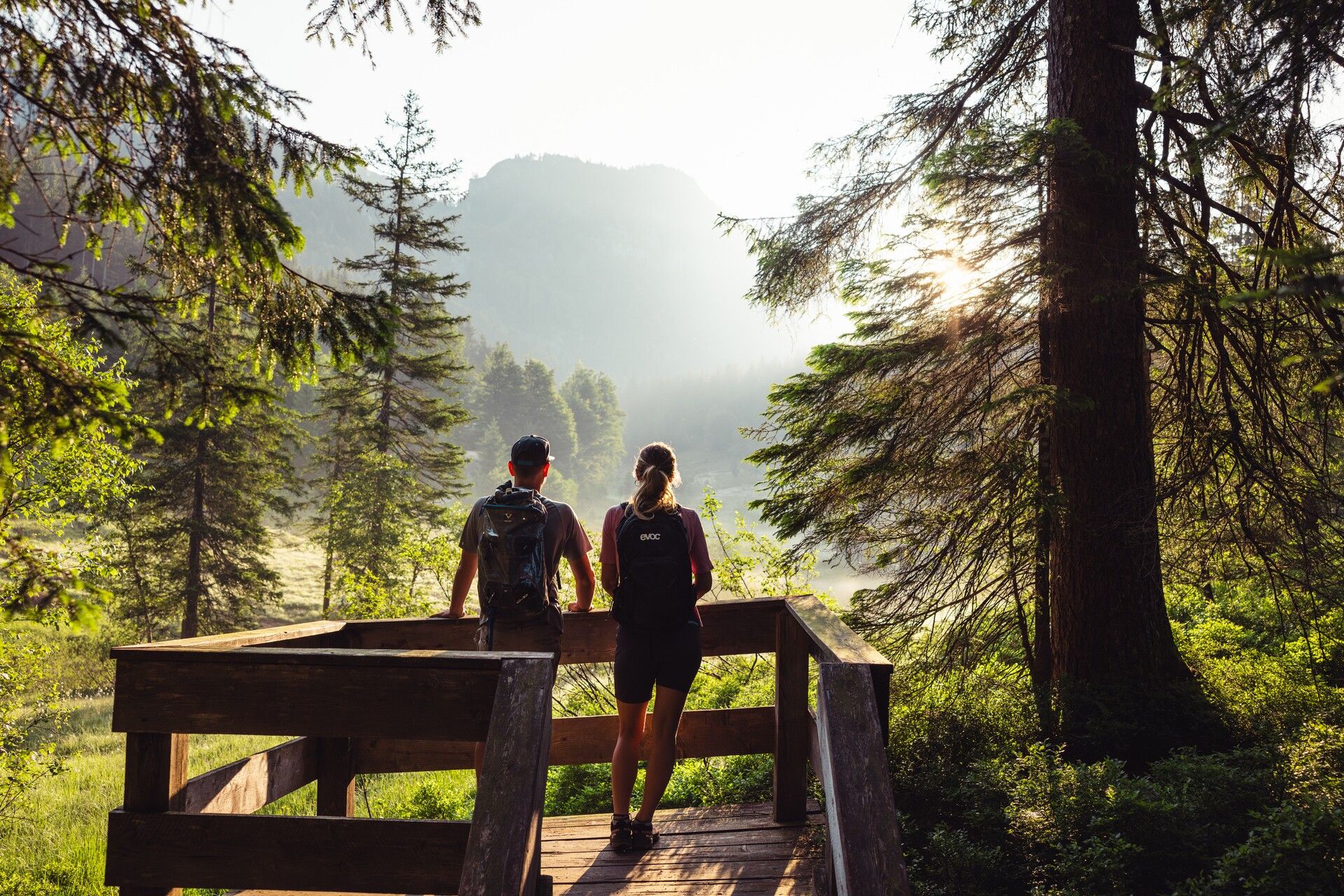

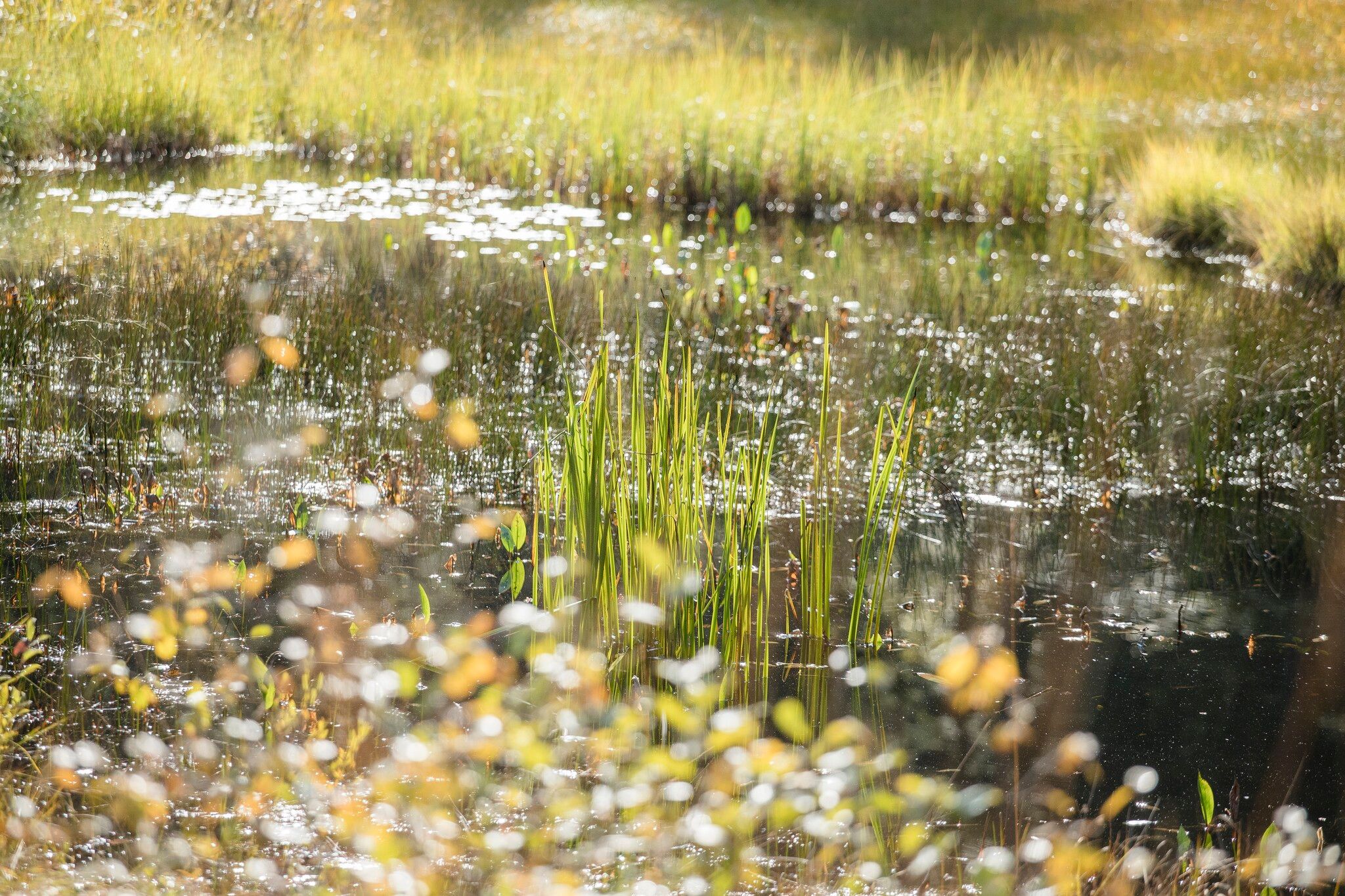
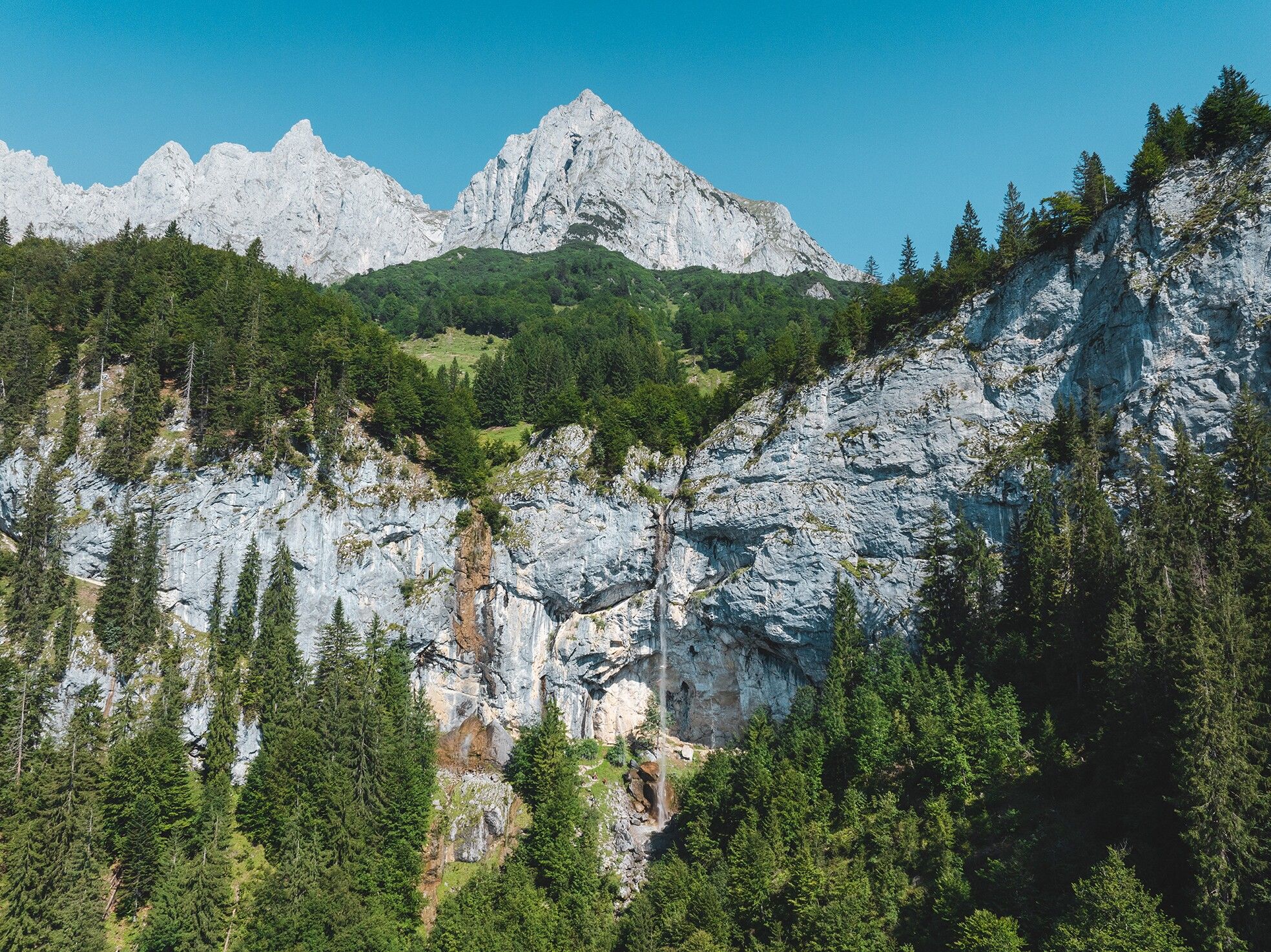
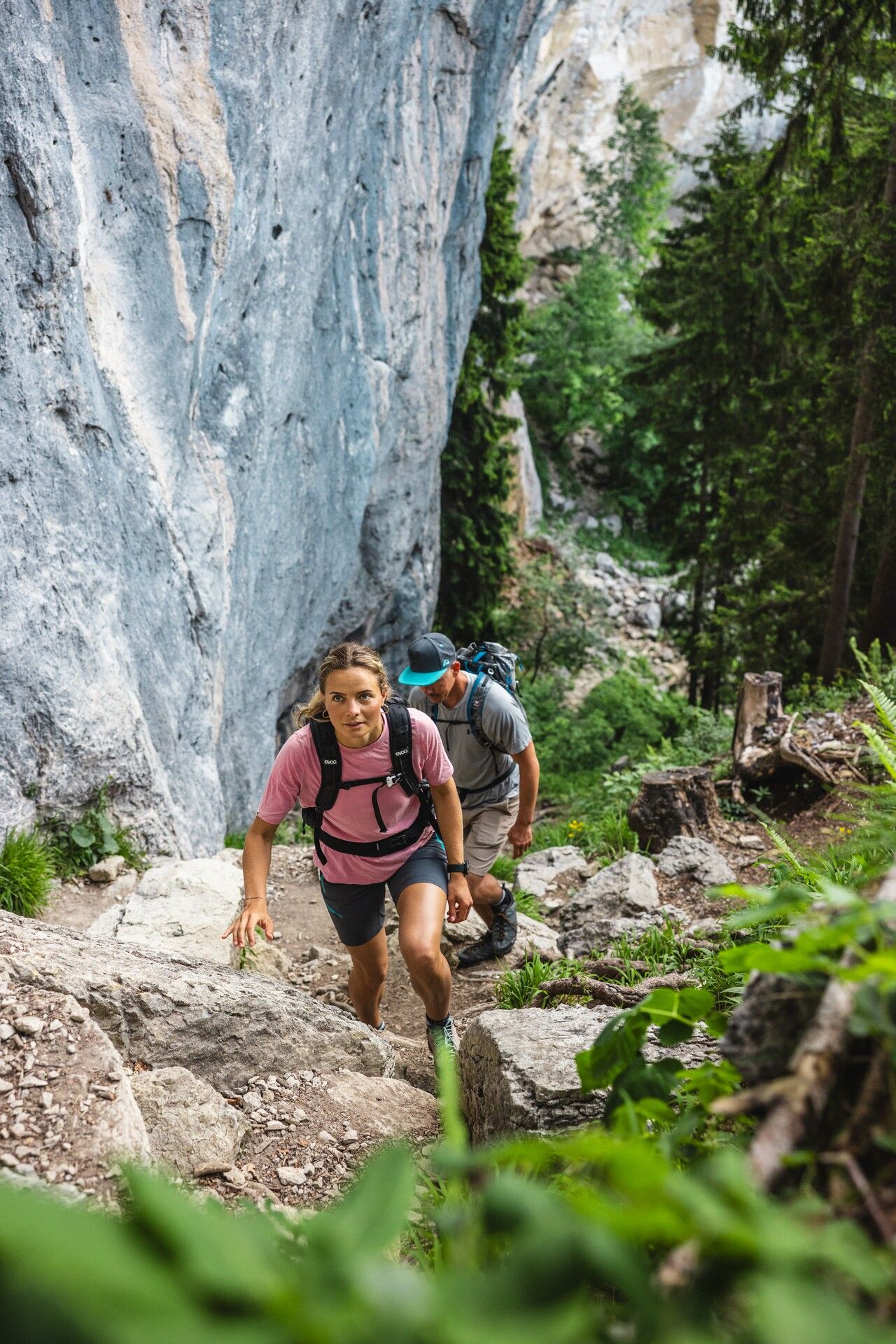
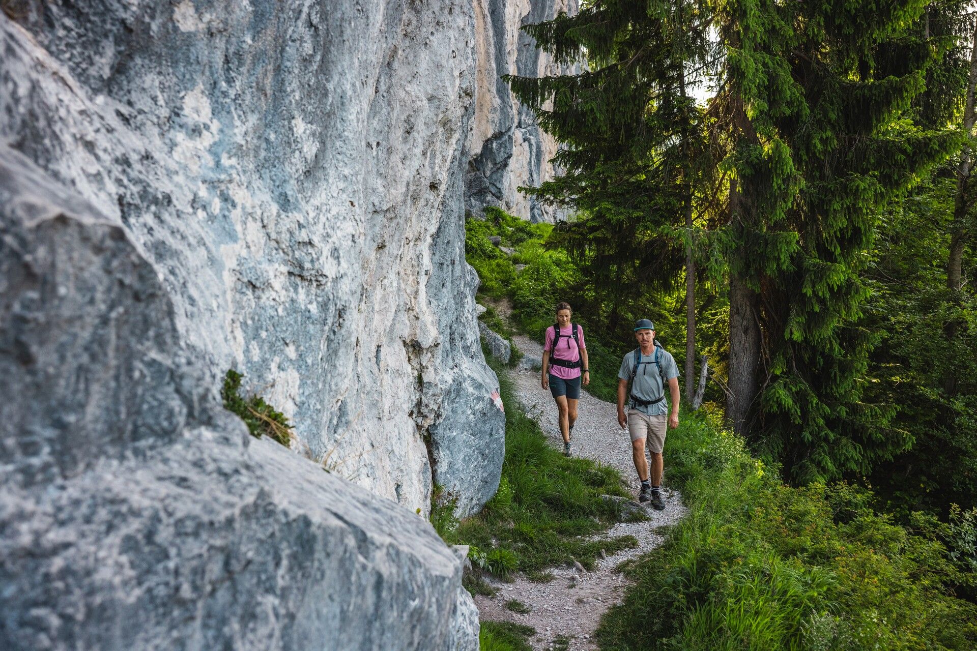
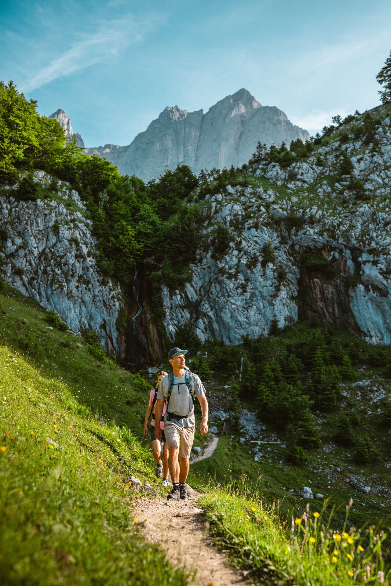


The tour begins at the Hüttling hiking start point and follows the forest road towards the Kaiser Mountains. At the first fork, stay on the forest road and cross the bridge. At the next junction, keep right and continue until the road bends sharply to the right. Just after the bend, opposite a mound of stones, a narrow path branches off to the left into the Hüttelmoos moorland. Along this short circular trail, you'll find informative panels about moorland typology and the area's renaturation.
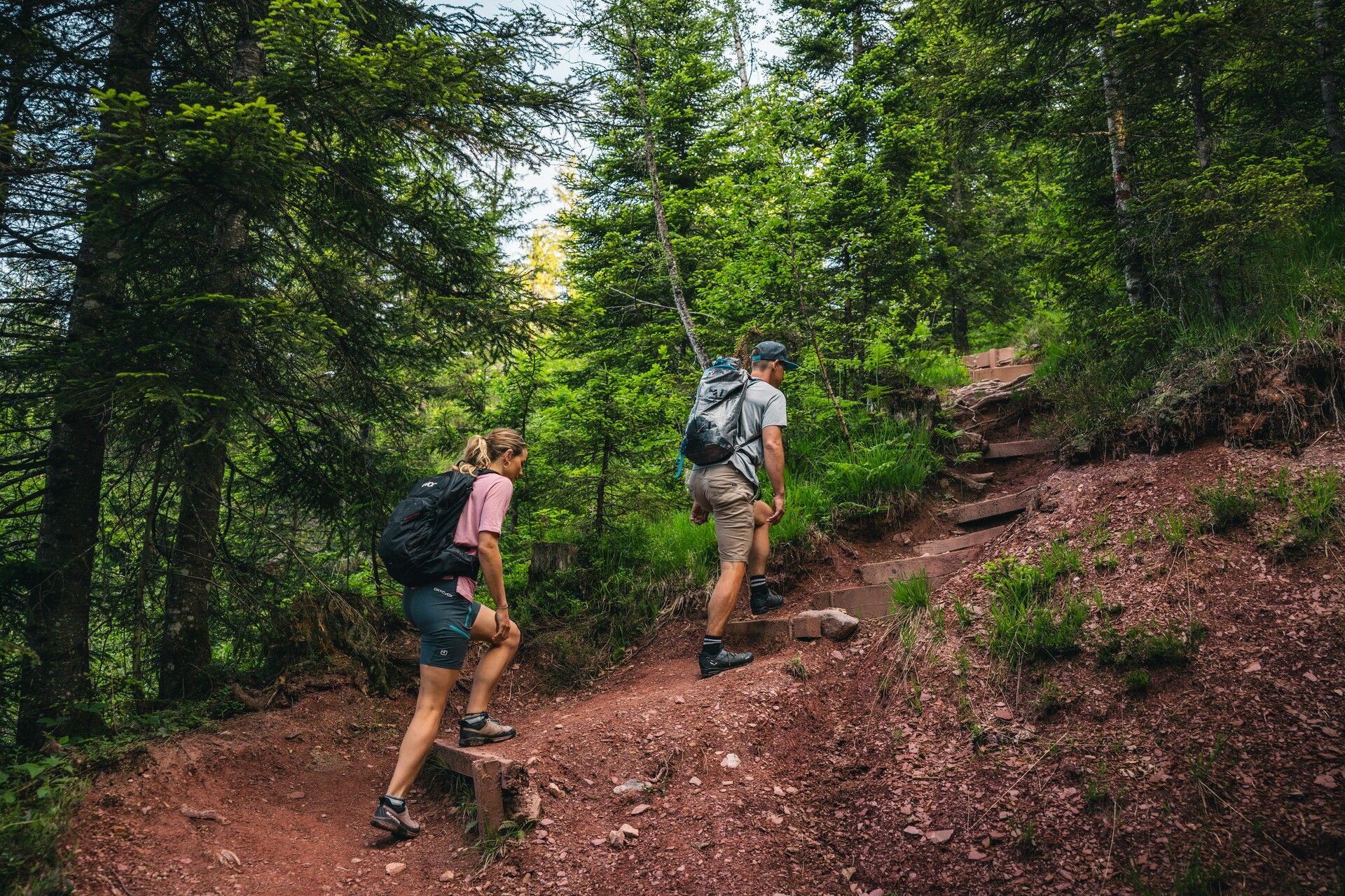
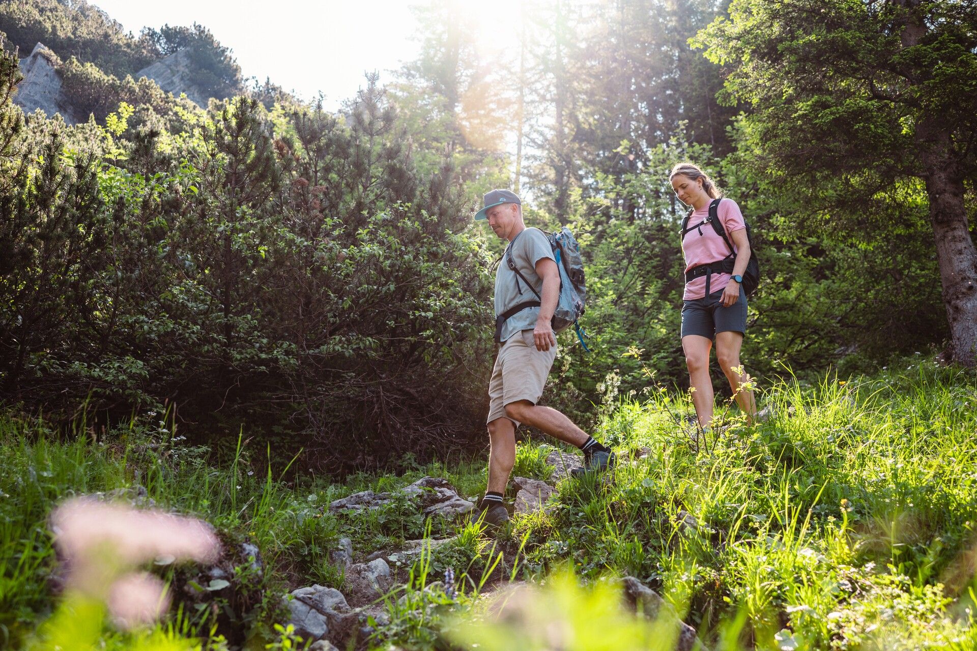
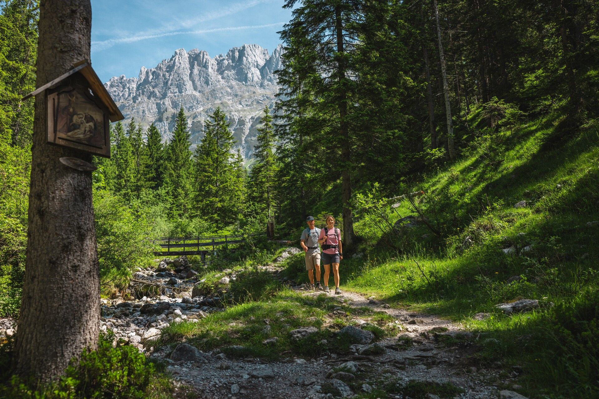
Afterwards, retrace your steps briefly along the forest road, turn right at the second junction, and immediately right again through the gate to follow the farm track. Passing a wooden barn, continue briefly on the forest road until, at the next left-hand bend, a steeper trail leads straight into the forest. When you rejoin the forest road, follow it until trail no. 818 to the Schleier Waterfall branches off to the left. The trail climbs through root-strewn forest and along a short exposed section to reach this impressive natural spectacle – a popular climbing spot beneath dramatic overhanging cliffs. Pause here to soak in the special atmosphere of this local energy site – and with a bit of luck, you might even spot climbers in action.
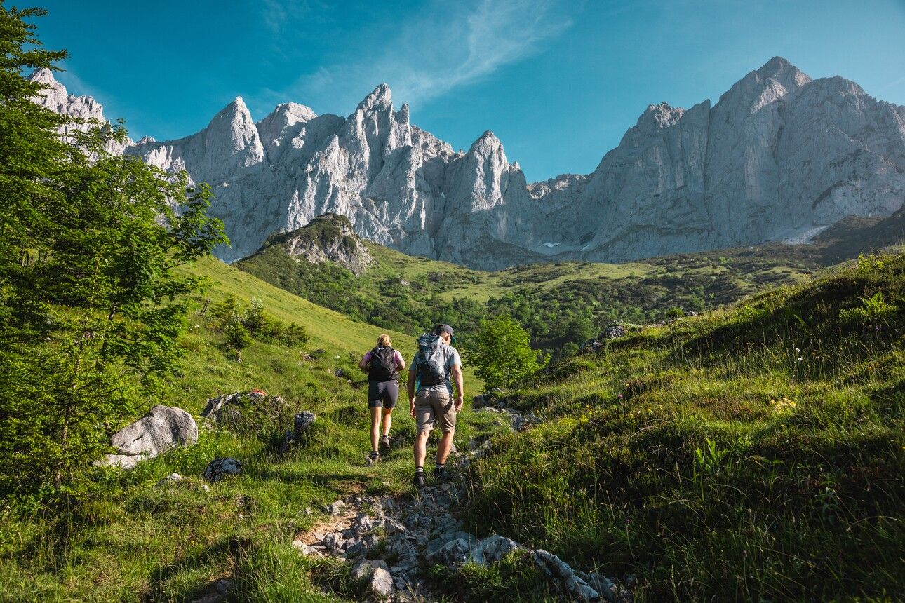
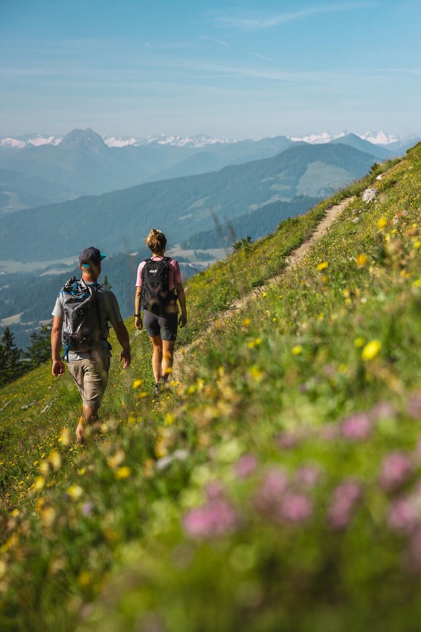
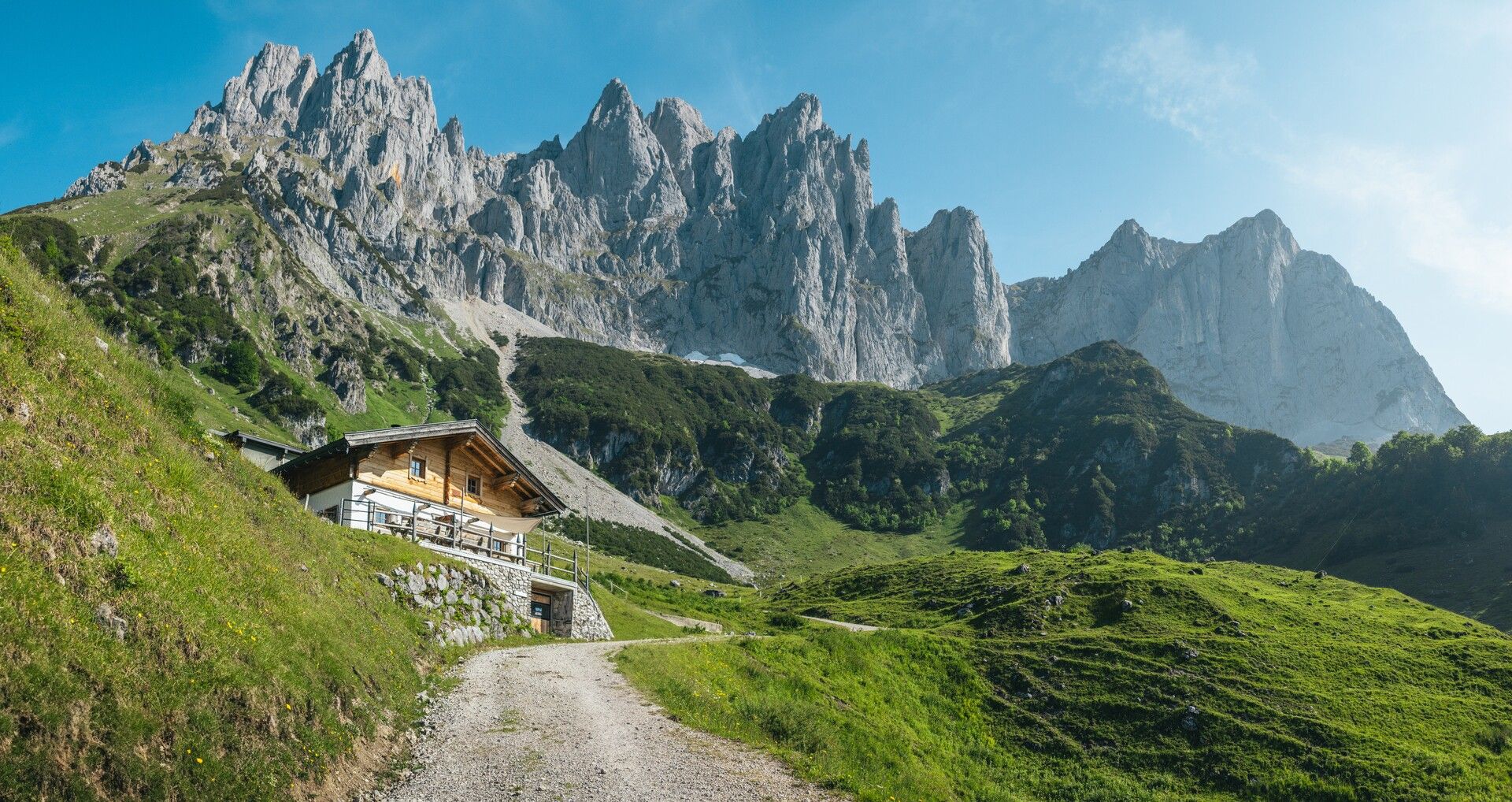
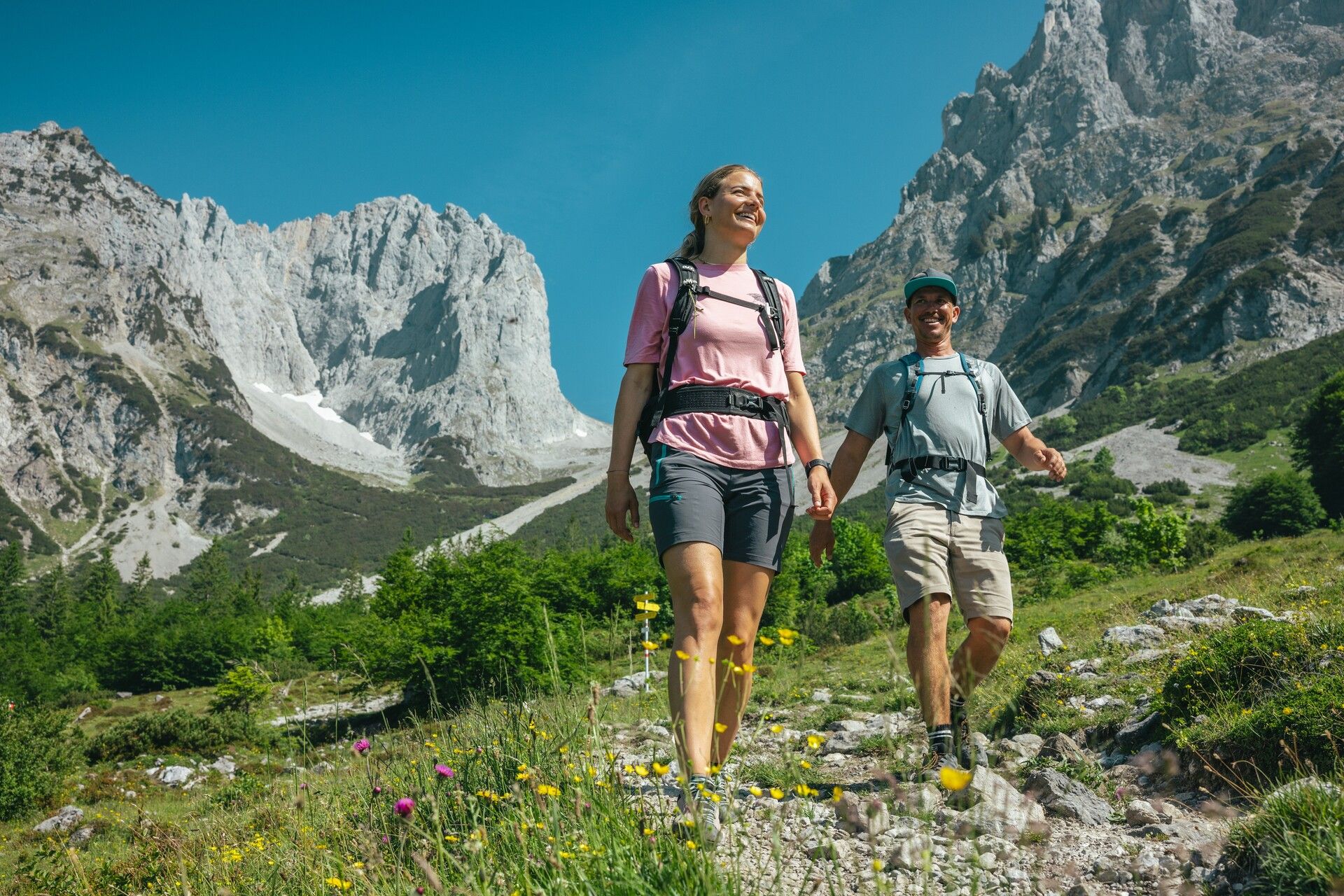
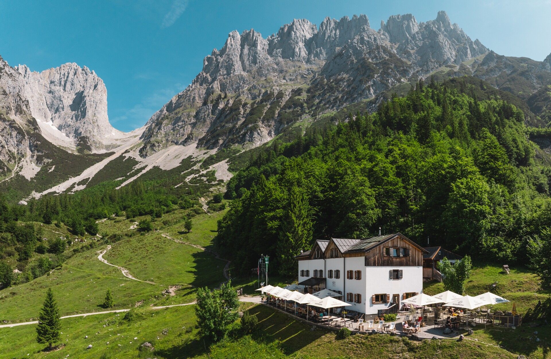
The route continues along the rock faces to the Stiegenbach Waterfall. After the waterfall, the trail becomes steeper as you cross the Stiegenbach stream and ascend through alpine meadows, with constant views of the Ackerlspitze and Maukspitze. At the next junction, follow trail no. 827 towards the Obere Regalm. Stay along the slope and you’ll soon catch sight of the hut. In the cellar fridge, you’ll find refreshing drinks – and if the hut is open, you can enjoy homemade specialities made from their own produce.
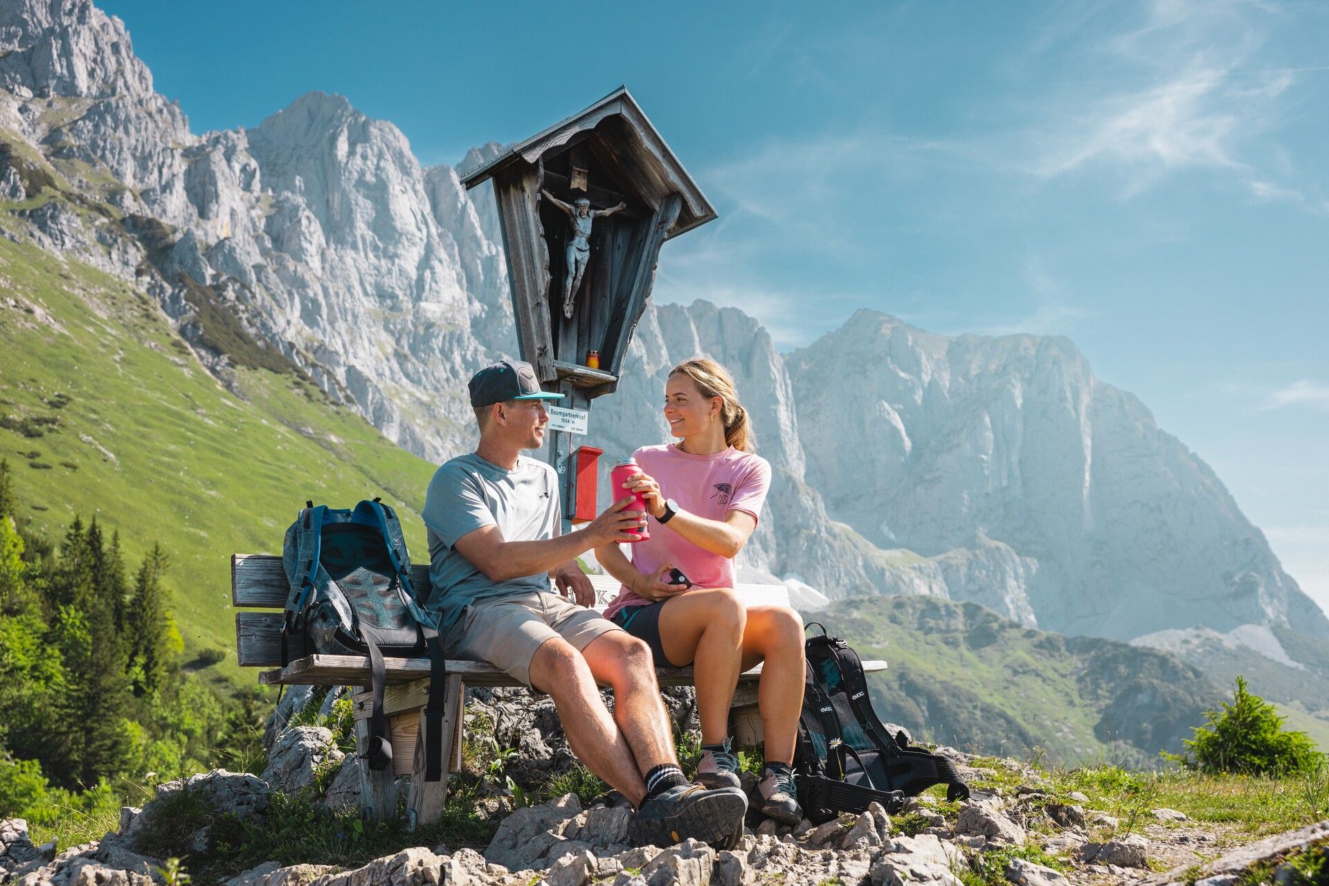
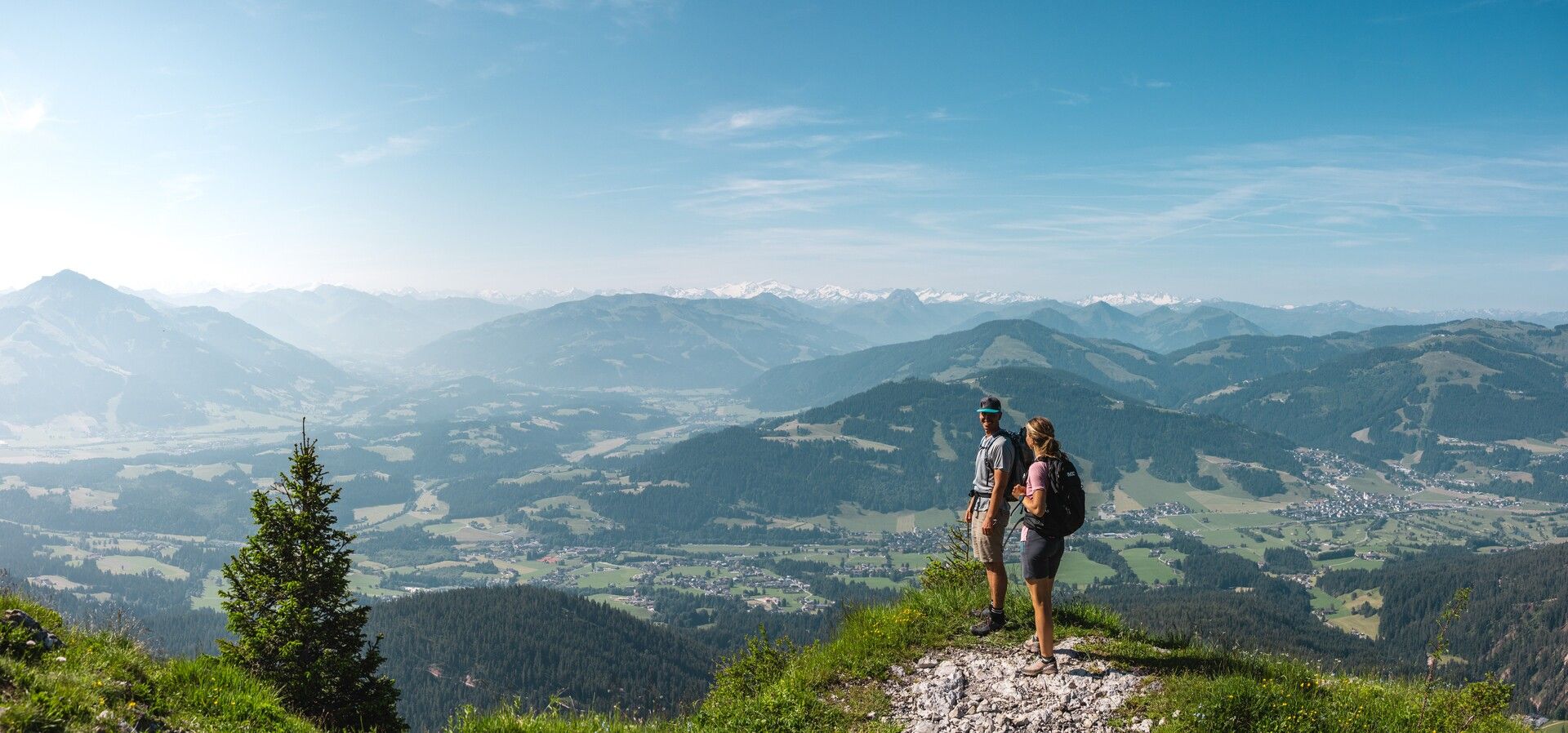
North of the hut, continue uphill on trail no. 827 across alpine pastures to the Baumgartenköpfl with its mountaineer’s memorial cross. It’s well worth pausing here to take in the magnificent views of the Wilder Kaiser peaks to the north and the main Alpine ridge to the south. From there, trail no. 824 leads downhill towards the Gaudeamushütte. Wooden steps take you past the Freiberghütte and Baumgartenalm, then across the Goinger Bach stream and briefly through a shady beech forest, before the path opens out to reveal the impressive Ellmauer Tor. After the turn-off to the practice via ferrata, the trail emerges onto alpine pastureland – here, take the path down to the left to reach the Gaudeamushütte.
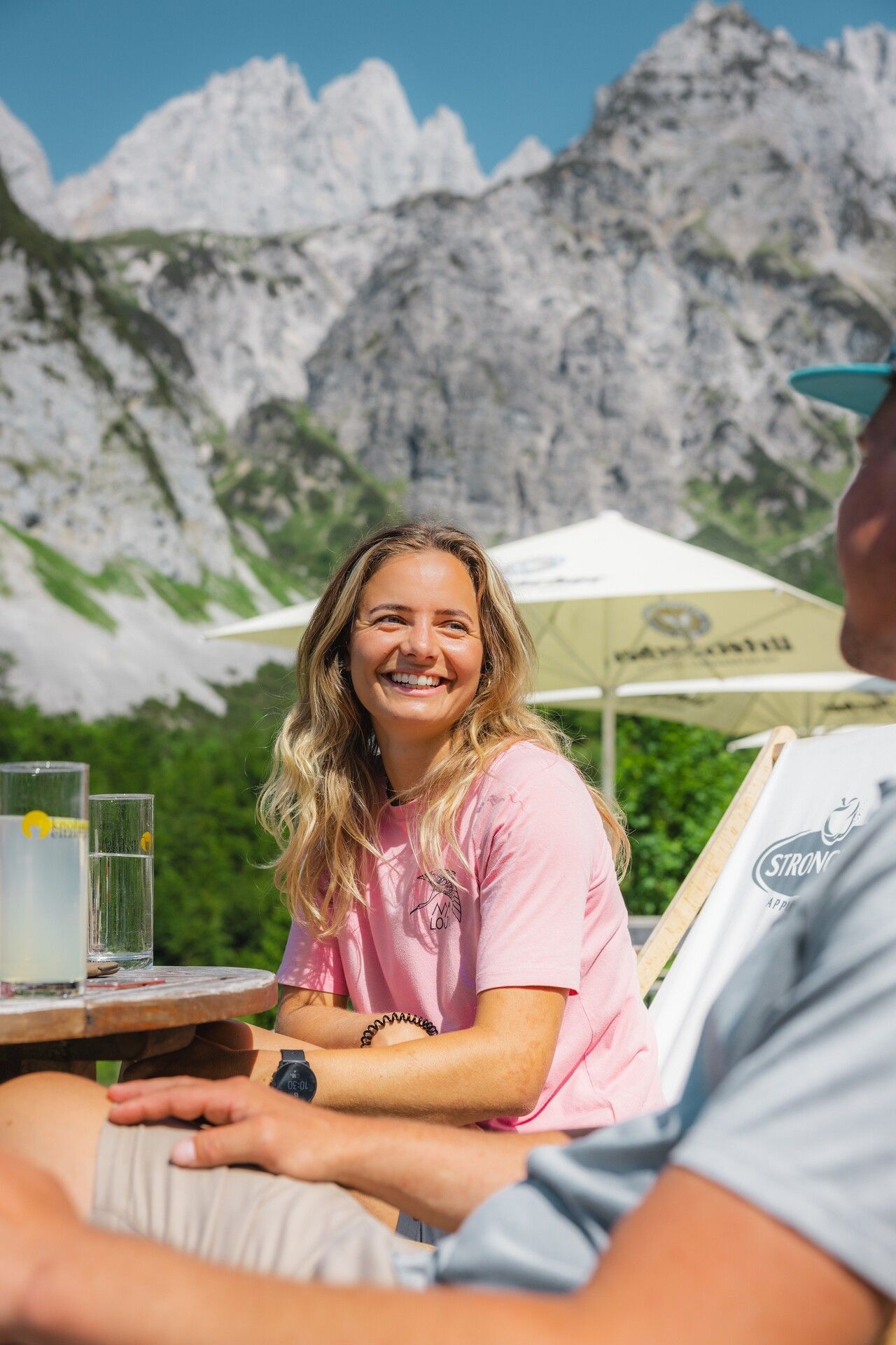
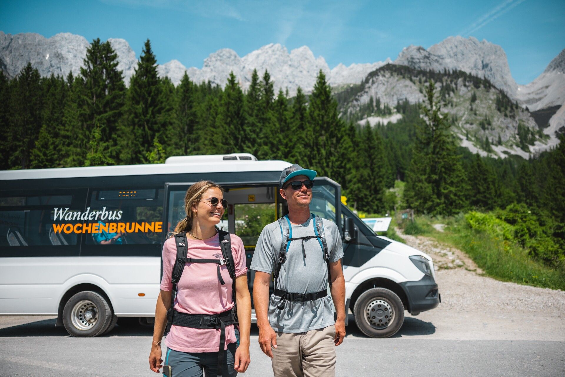
You’ll be rewarded with regional delicacies on the hut’s cosy panoramic terrace. After a well-earned rest, continue south of the hut on trail no. 813 towards Going. At the left-hand bend, turn right onto the small Wilderersteig trail, marked with wooden signs. A gentle forest path leads you to the turn-off for the Wochenbrunner Alm. After a final break on the scenic terrace, you can take the hiking bus back to Ellmau.
Alternative for particularly motivated hikers:
Instead of taking the convenient hiking bus from Wochenbrunner Alm to Ellmau, you can also hike this stretch:
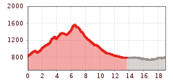
Wochenbrunner Alm – Spatlahner Gorge – Ellmau village/bus stop: approx. 1 hr 45 min
Start of the tour:
From the following stops, you can take the on-demand taxi service directly to the Hüttling hiking starting point in Going:
80 KaiserJet and 865+866 VVT-Regiobuslines: Ellmau Dorf/Bauhof and Going am Wilden Kaiser Dorf
Please book the taxi by 8 pm at the latest on the day before by calling: +43 (0)664 88222598, or alternatively +43 (0) 5358 21010
With the Wilder Kaiser GuestCard, the on-demand taxi service ist free of charge.
End of the tour:
40 KaiserJet : Ellmau Wochenbrunner Alm
80 KaiserJet und 865+866 VVT-Regiobuslines: Ellmau Dorf/Bauhof
The free hikers’ bus runs daily in summer between the Ellmau Dorf/Bauhof bus stop the trailhead of the hike to the Wochenbrunner Alm Alpine hut. Passengers can change to/from the KaiserJet and VVT-Regiobuslines 865 and 866 at the Ellmau Dorf/Bauhof bus stop.
More information at: www.wilderkaiser.info/mobility
Hüttling car park, Going (820 m) - pay & display
It is a day car park, which means that no ticket can be purchased for several days. The parking ticket is therefore only valid on the day of issue! It is a public car park from May to October. During the winter months from November to April the car park is not attended. During this time the use is at your own risk! Camping and permanent parking is prohibited on this car park. (Vehicles that are parked illegally will be reported to the police and towed.)


