Long-distance hike Kaiserkrone - stage 3

Scheffau am Wilden Kaiser / Kaiser Mountains
Schwierigkeitsgrad: medium
Streckenlänge: 9.3 km
Dauer: 5:00 h

Kaindlhütte - Bettlersteig - Anton-Karg-Haus - Hans-Berger-Haus - Stripsenjochhaus

Toureninformation

  • Anforderung: medium
  • Länge: 9.3 km
  • Dauer: 5:00 h
  • Höhenmeter Bergauf:840 hm
  • Höhenmeter Bergab:560 hm
Höchster Punkt1,577 m

Ausgangspunkt

Hintersteiner See, Scheffau (889 m)

Endpunkt

Stripsenjochhaus, St. Johann in Tirol (1,577 m)
  • Kondition 3 / 6
  • Technik 3 / 6

Merkmale

  • Multi-day hike

Beste Jahreszeit

  • January
  • February
  • March
  • April
  • May
  • June
  • July
  • August
  • September
  • October
  • November
  • December

Wegbeschaffenheit

The composition of the trail varies between forest roads, paths, meadow and forest trails and rocky passages with some sections secured by ropes

Ausrüstung

Rucksack, sturdy hiking/mountaineering boots with anti-slip treaded soles, weather-appropriate hiking gear (breathable), a change of clothes, sun protection (sunglasses, sun cream, lip protection, headgear), waterproofs (rain jacket/poncho, pocket umbrella, rucksack protector), cold protection (hat, gloves), sufficient food and drink, hiking poles (height adjustable) if required, first aid kit incl. rescue blanket and bivouac sack, mobile phone with fully charged battery, headlamp, plastic bag for waste, hiking map, route description and information materials (GPX track), ID, insurance card, cash

Additions for overnight stay at mountain hut:
Mountain hut sleeping bag, indoor shoes, toiletries and towel, personal medication, headlamp, Alpine Club ID Card, cash, charger for mobile phone The hiking routes between the huts are often rather long, we recommend taking plenty of food and drink and booking your overnight stays well in advance.
Quelle: TVB Wilder Kaiser

Beschreibung


Legendary huts & legendary rock faces!

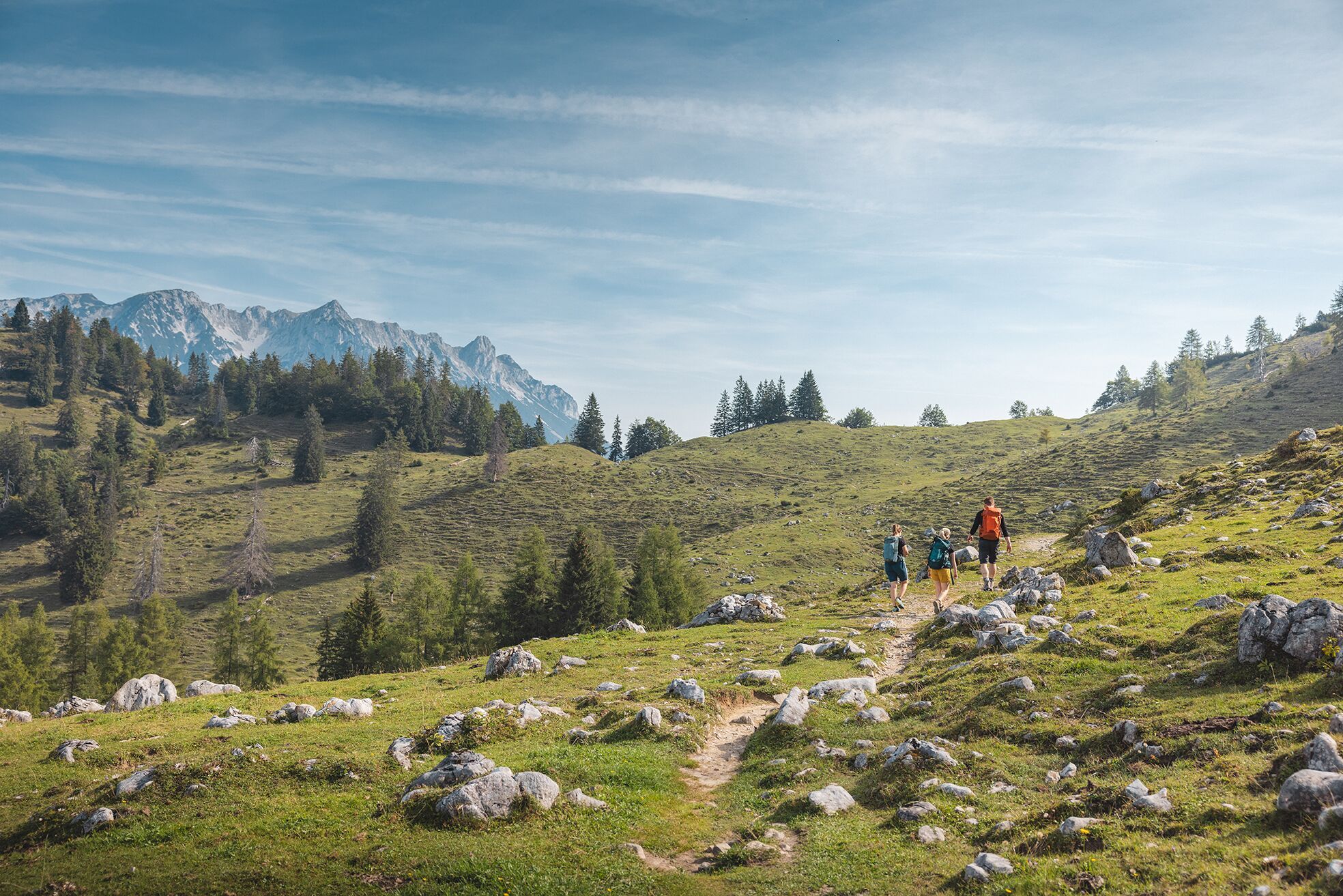
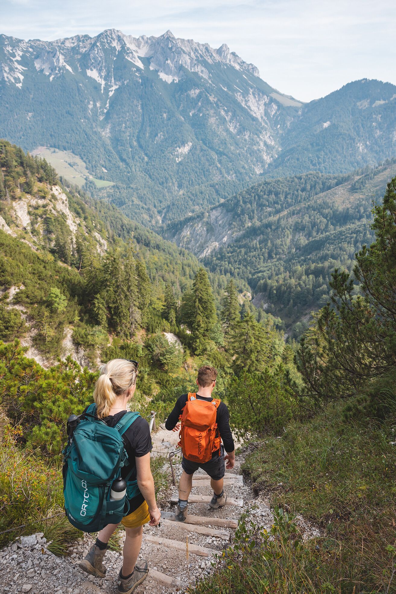
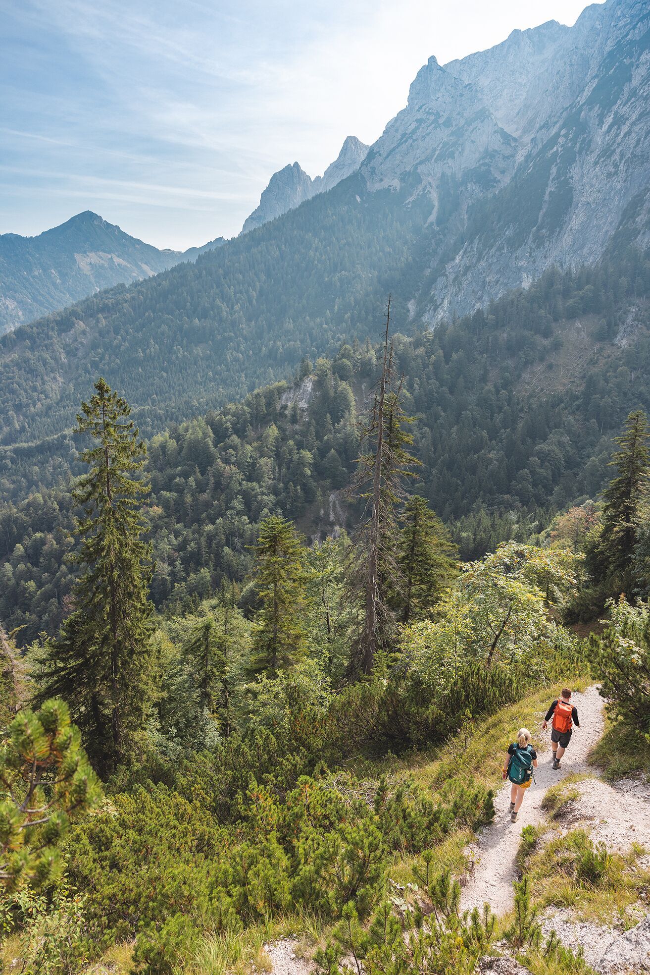
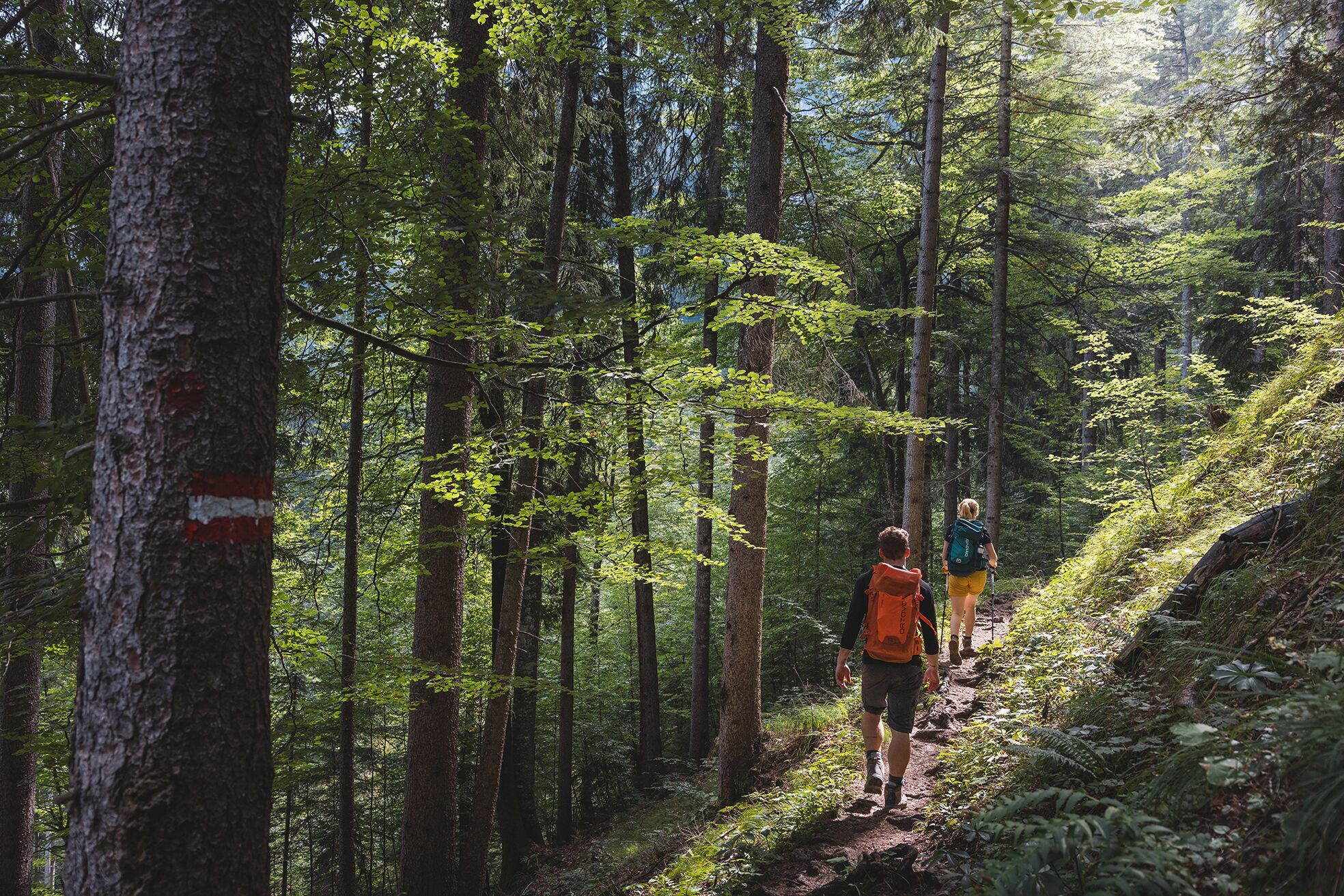
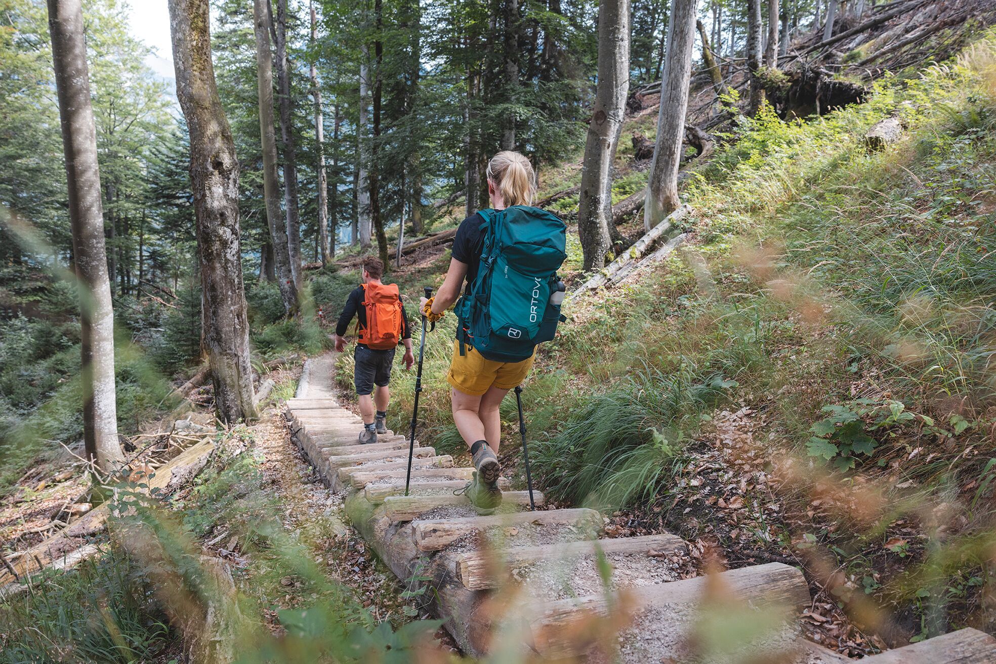
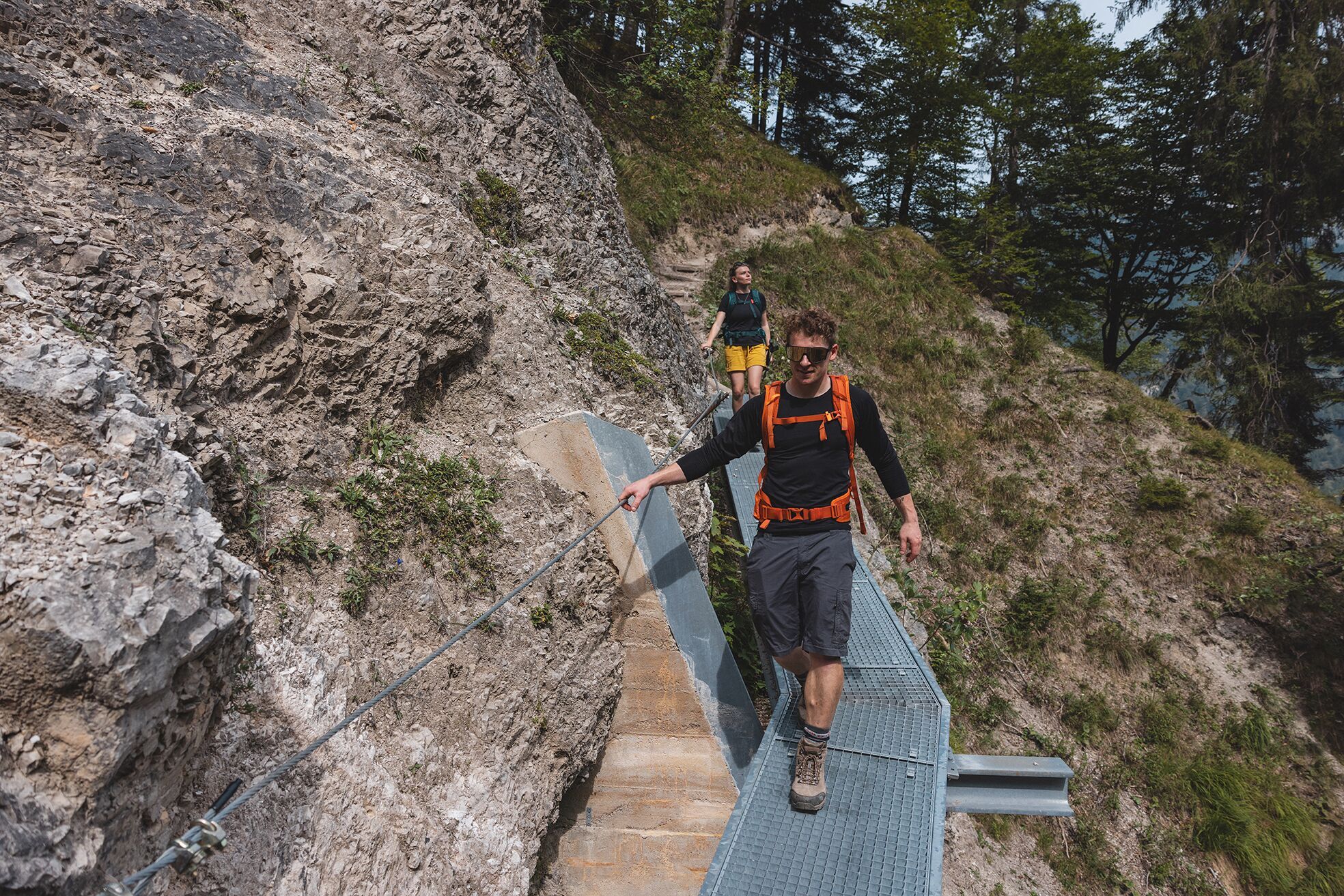
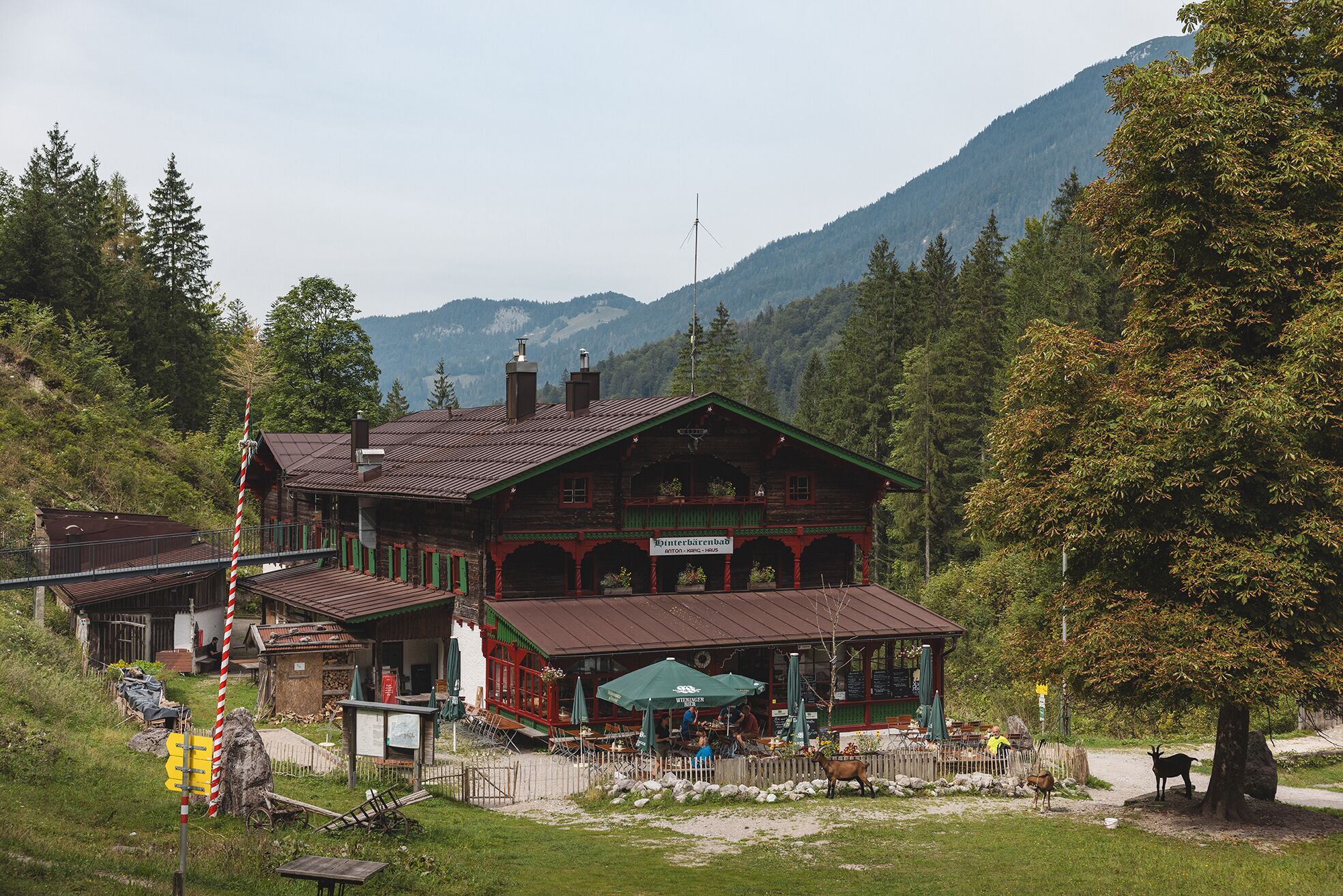
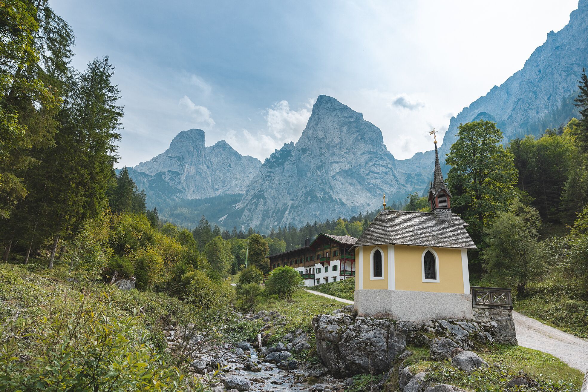
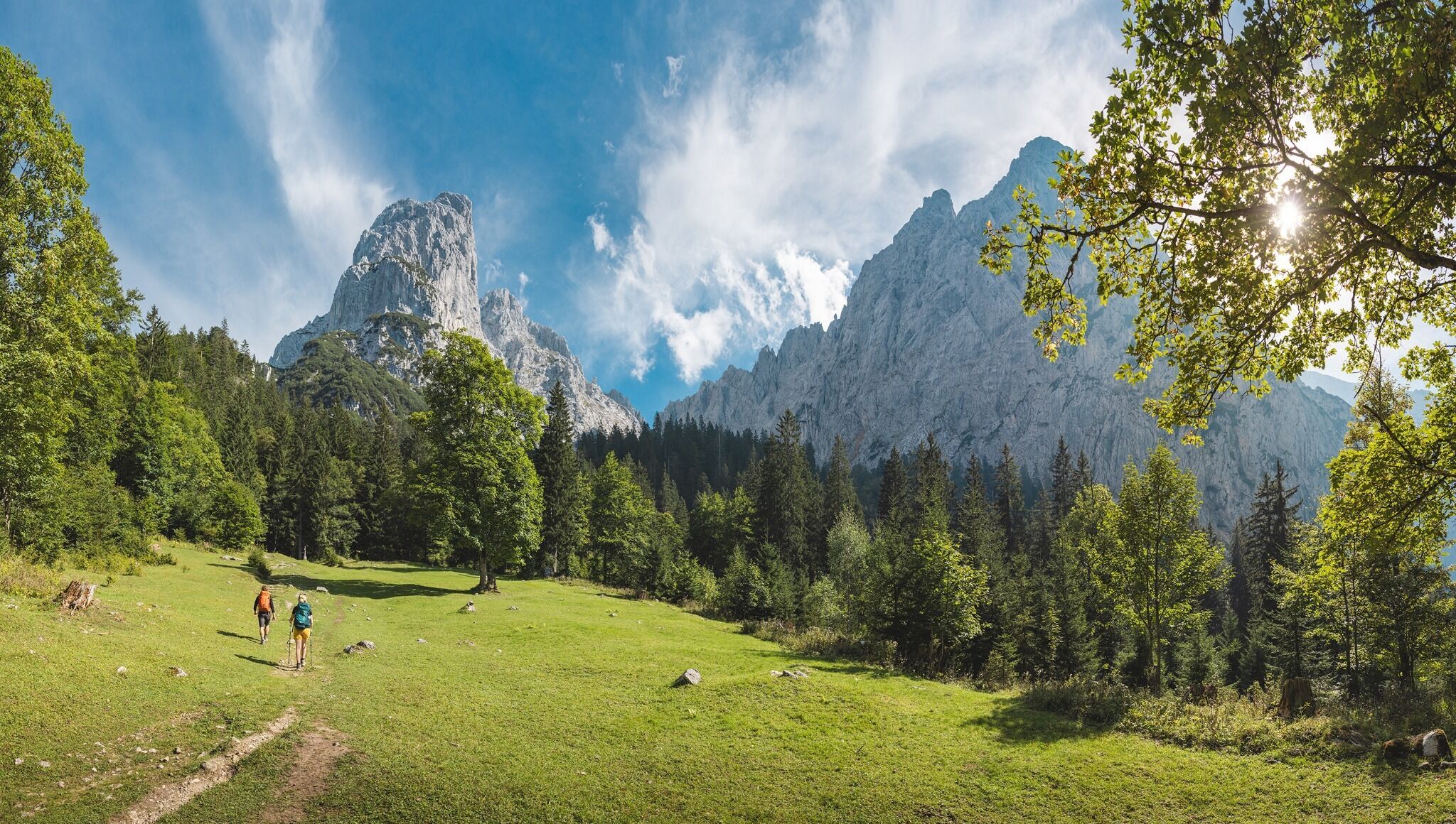
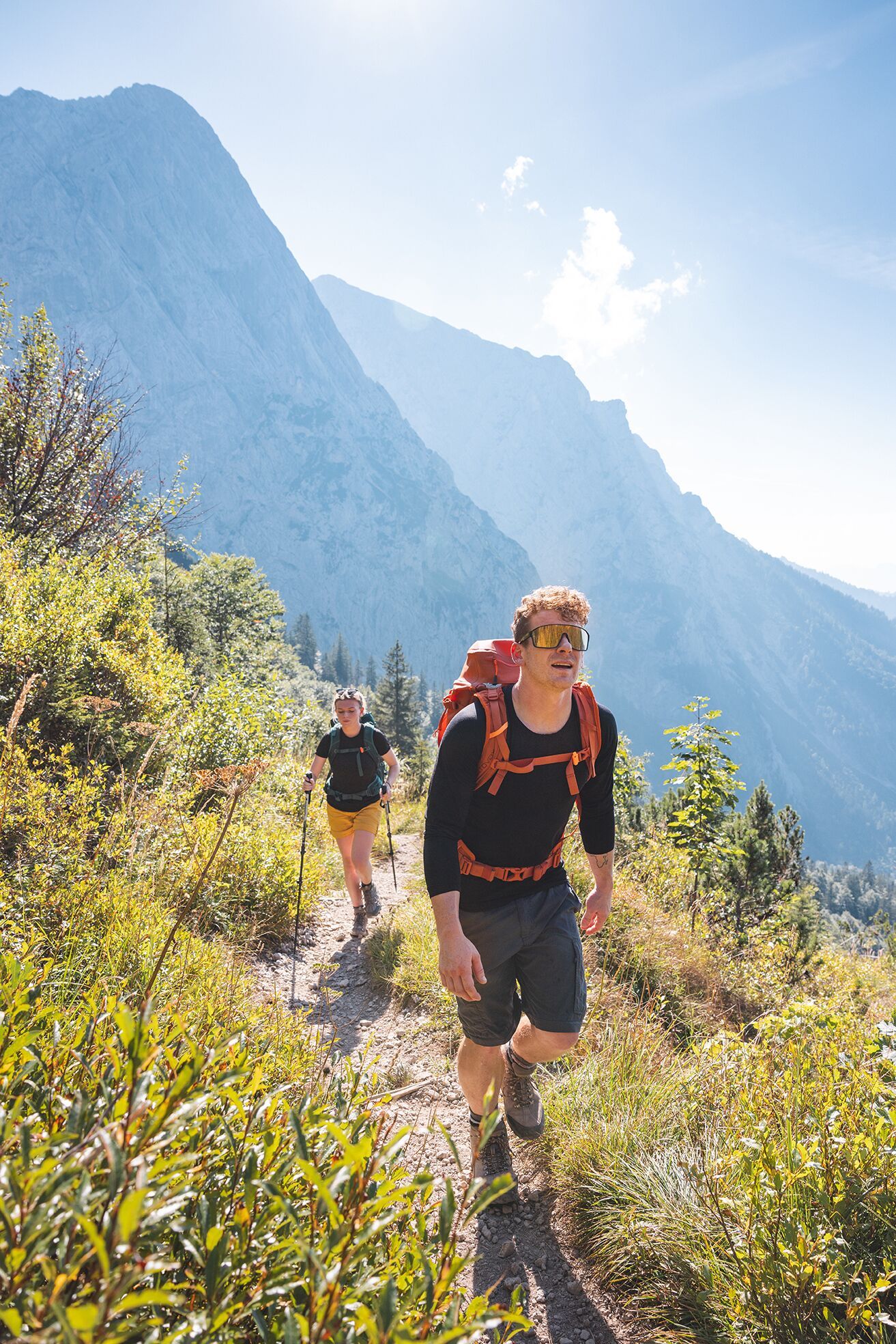
Continue east on trail 827 until you reach the entrance to the Bettlersteig trail. In a series of sharp bends, this leads past the Talofenschlucht gorge and the north face of the Hackenköpfe mountains. It begins with a steep descent, mostly on steps and across eight ditches, with one passage secured using a wire rope and iron clamps. Heading shortly uphill, you will then reach the Strasswalch Jagdhütte mountain hut below the Strasswalchschlucht gorge and continue further into the Kaisertal valley on the Bettlersteig trail. This will bring you to the Anton-Karg-Haus mountain hut (also known as Hinterbärenbad, 829 m), which is located in a picturesque basin above the Hörfarter Kapelle chapel.

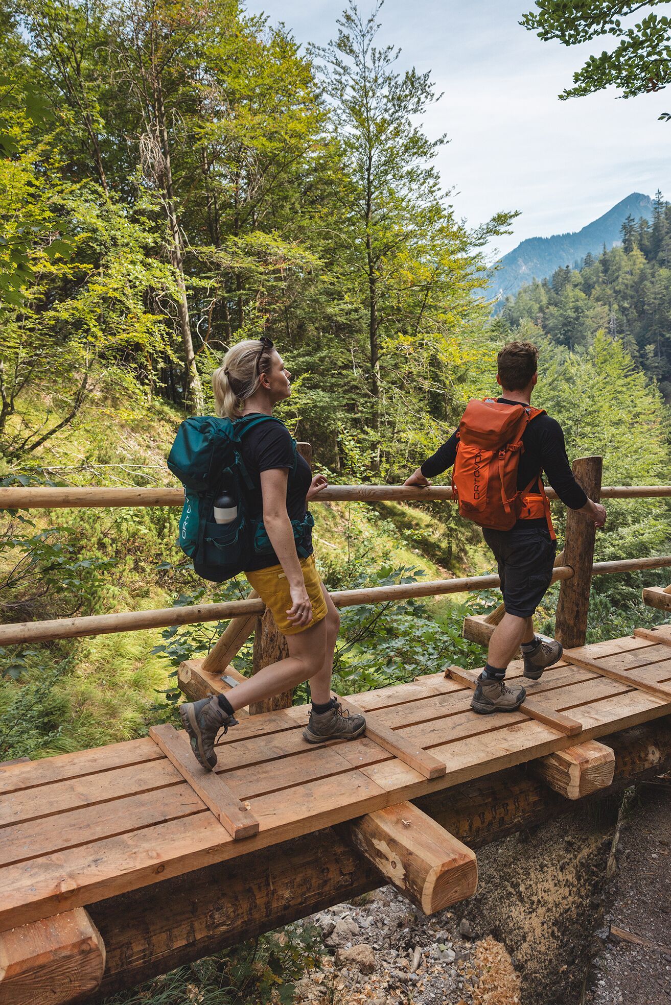
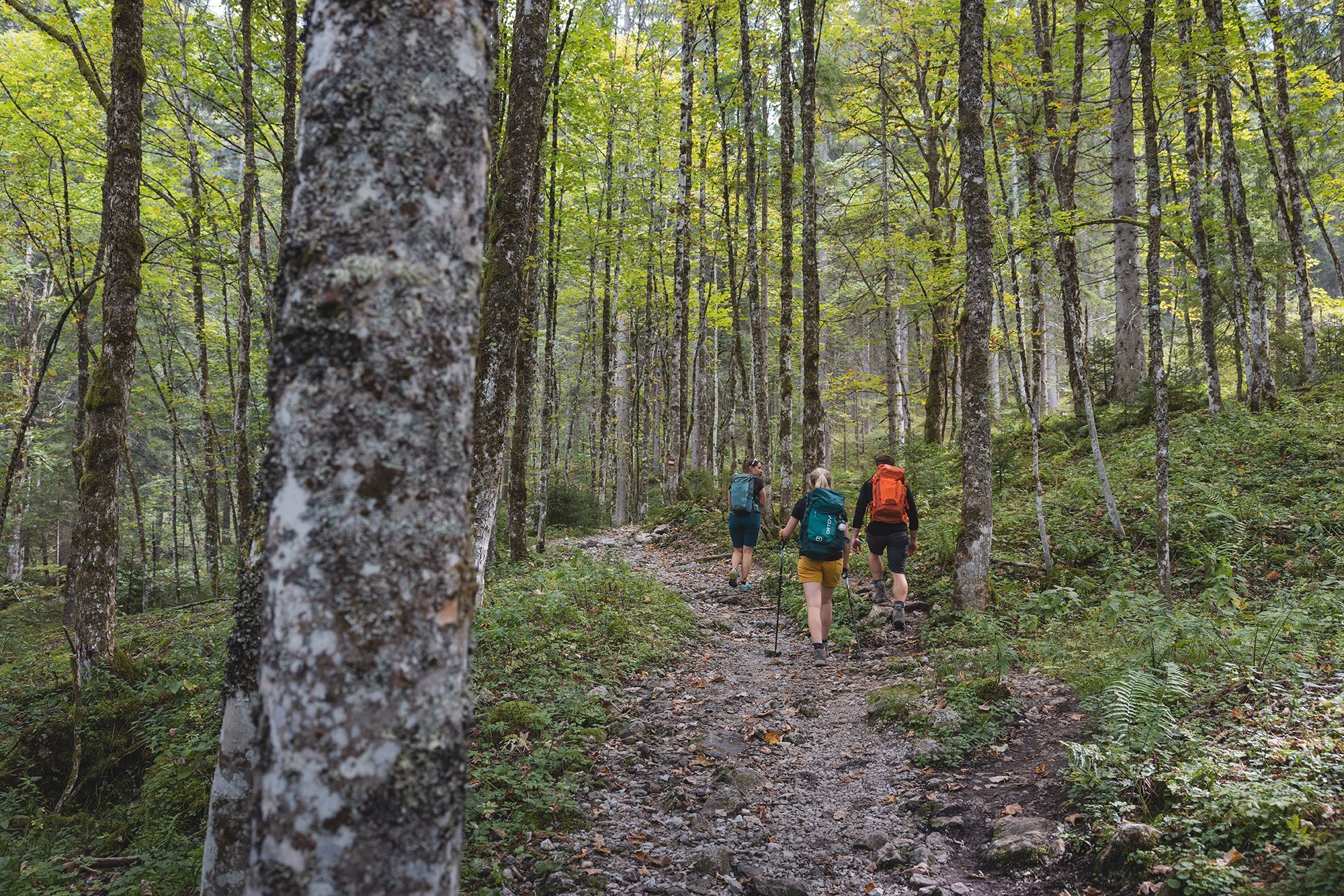
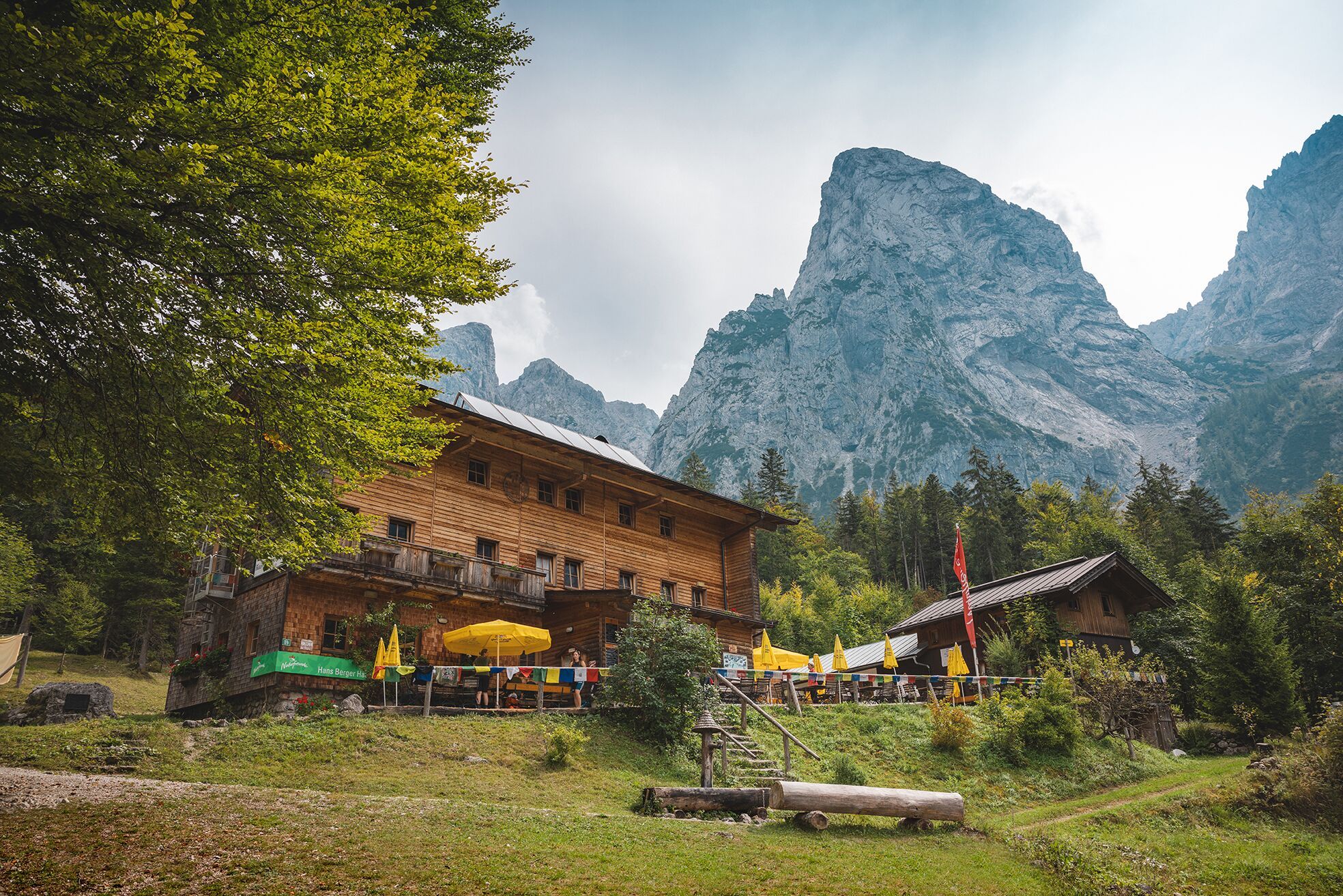
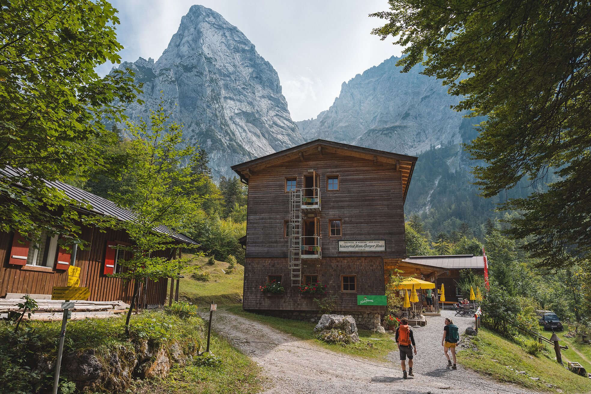
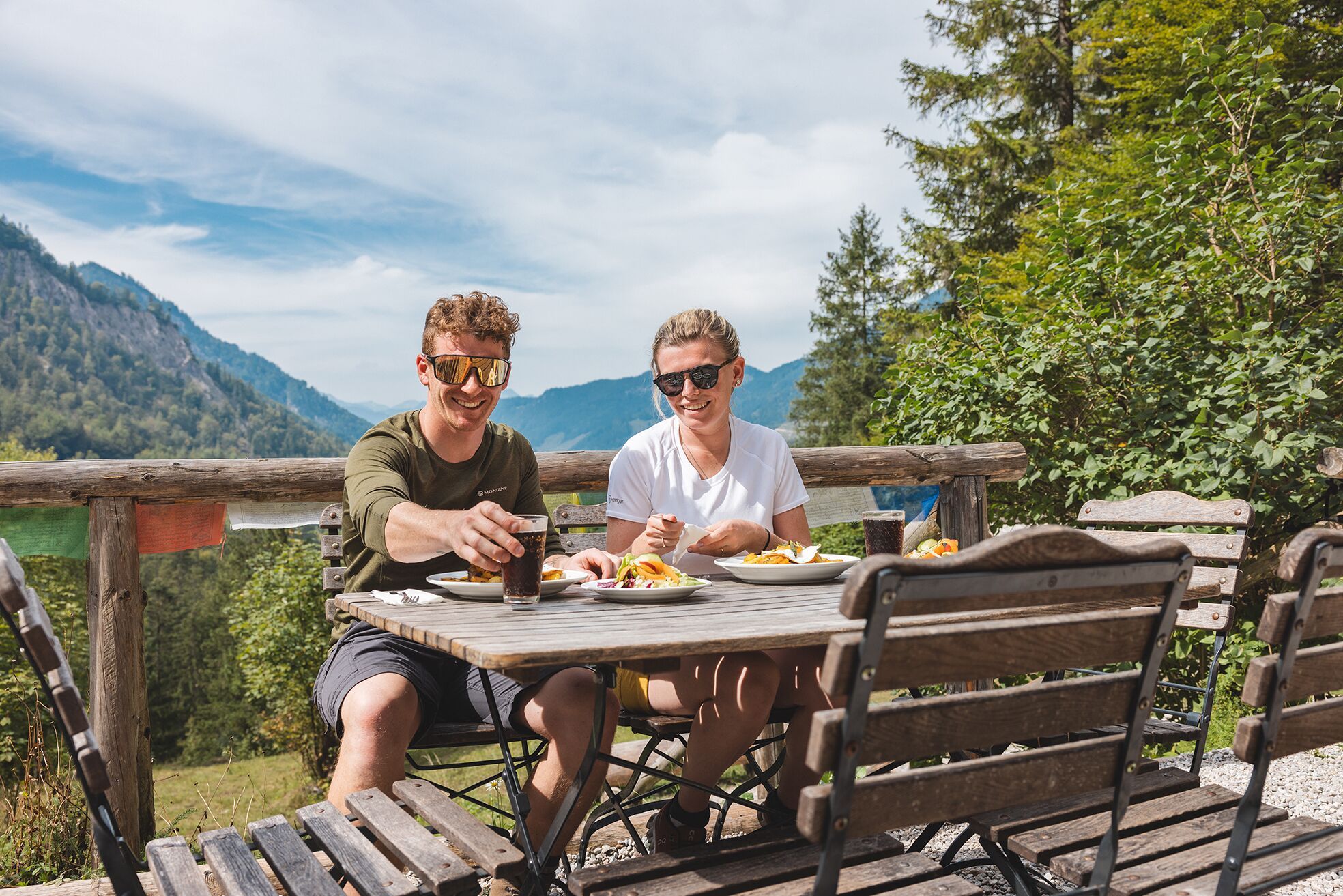
On footpath 96/801 you walk along the stream and over steps slightly uphill to the cosy Hans-Berger-Haus (also known as Kaisertalhaus, 936 m) with regional cuisine and traditional mountaineering ambience.

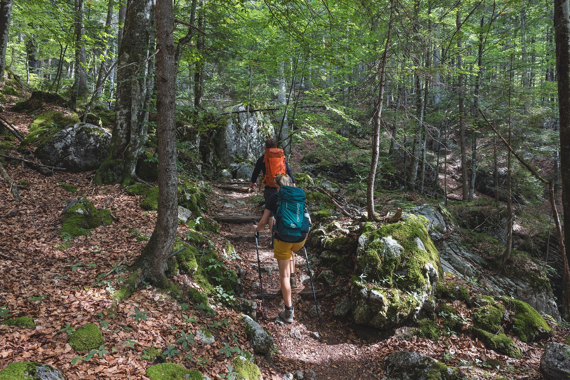
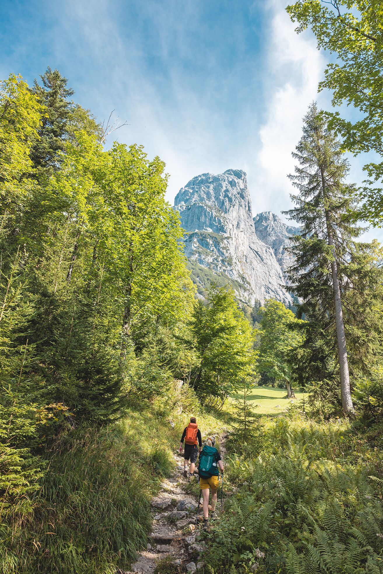
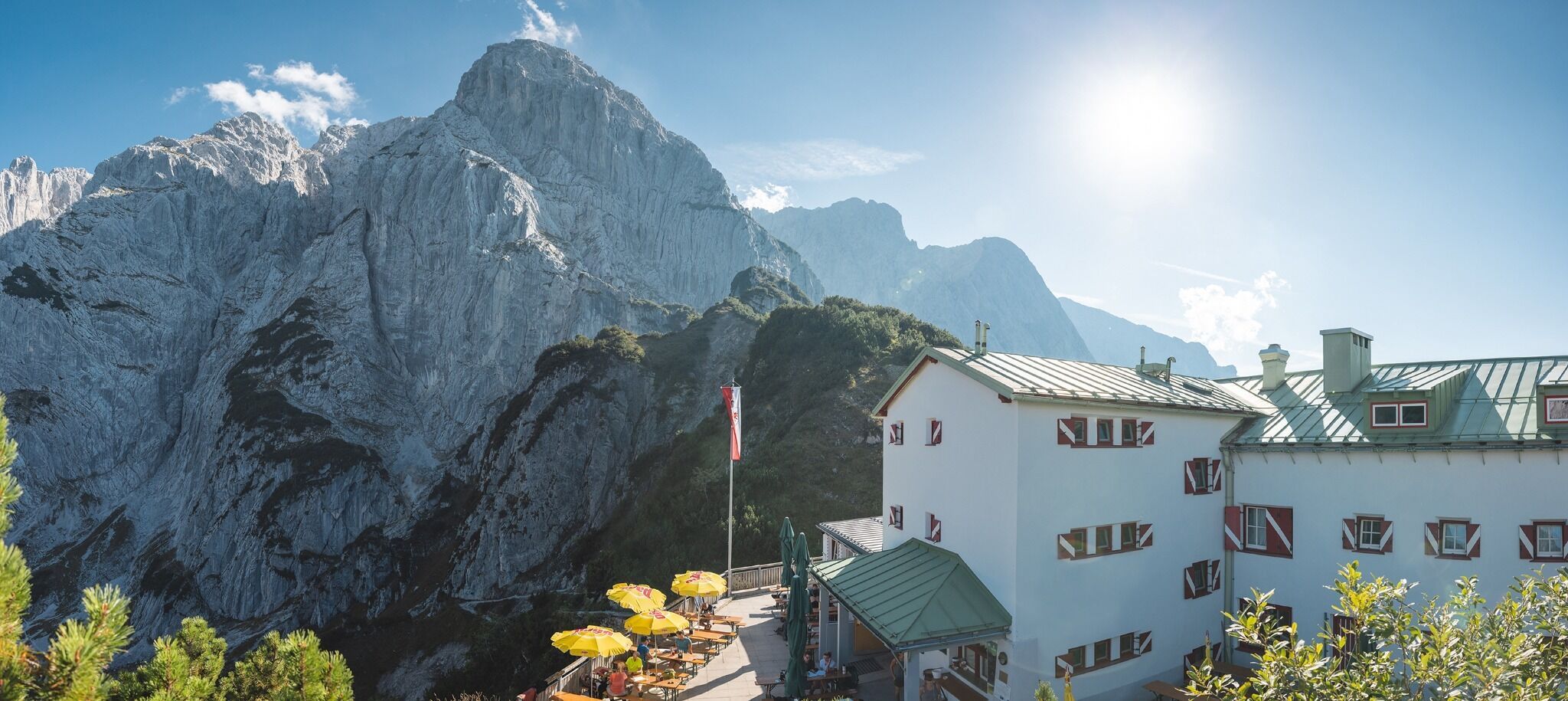
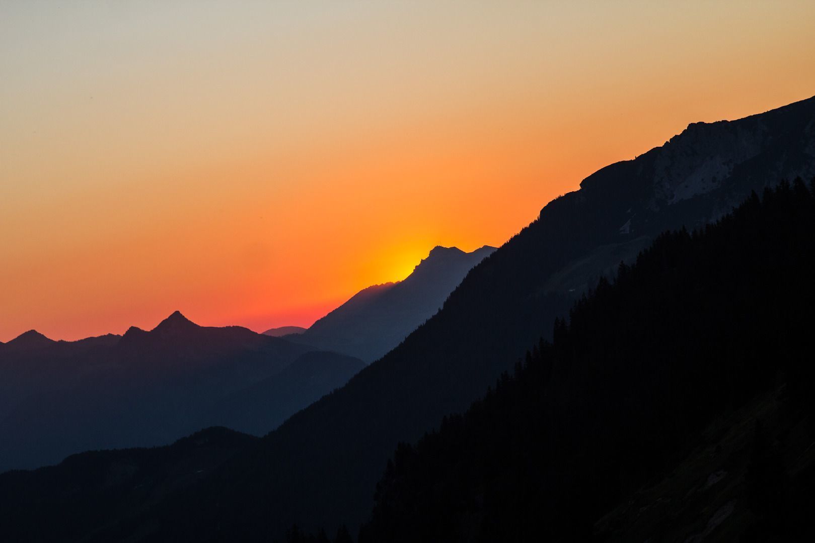
From here you continue along path 801, the climb becomes steeper, through the forest and over serpentines and a number of steps on your way up to the Stripsenjochhaus mountain hut (1,577 m). This is located on a rise at the foot of the legendary “Totenkirchl” and “Fleischbank” rock faces, which have attained cult status in climbing circles. Enjoy the sunset as it turns the Wilder Kaiser peaks orange!

Tip for true climbing enthusiasts: hike through the Ellmauer Tor
Experience the fascination of the Wilder Kaiser with its imposing and historic rock faces when crossing from north to south.
For detailed information, see the corresponding alternative route.

Anreise

  • Anreise mit den Öffis

    80 KaiserJet and 865+866 VVT-Regiobuslines: Scheffau am Wilden Kaiser Dorf and then
    30 KaiserJet: Scheffau am Wilden Kaiser Gh Seestüberl (Strandbad)

    More information at: www.wilderkaiser.info/mobility

    or
    Kufstein City Bus Route 1: Kufstein Meraner Straße. Then walk through the underpass and follow the signs. The walk from the bus stop to the Kaiserlift valley station takes about 10 minutes.

  • Parken

    see Kaiserkrone – full itinerary or Stage 1

Weitere Touren in der Umgebung

  • Winter walking Biedringer Platte

    Öffnungszeiten:gesperrt
    Länge:12.7 kmDauer:5:30 hHöhenmeter bergauf:470 m
  • Hintere Goinger Halt summit tour

    Schwierigkeit:difficult
    Länge:9.3 kmDauer:6:30 hHöhenmeter bergauf:1,090 m
Tirol Newsletter

The mountain is calling? So does our newsletter!

In our monthly newsletter we reveal the best holiday tips for Tyrol.