
The first stage offers plenty of highlights, including the rope-secured Klammlweg trail and the Ellmau Tor. On a clear day, you can even see the Großglockner from here.
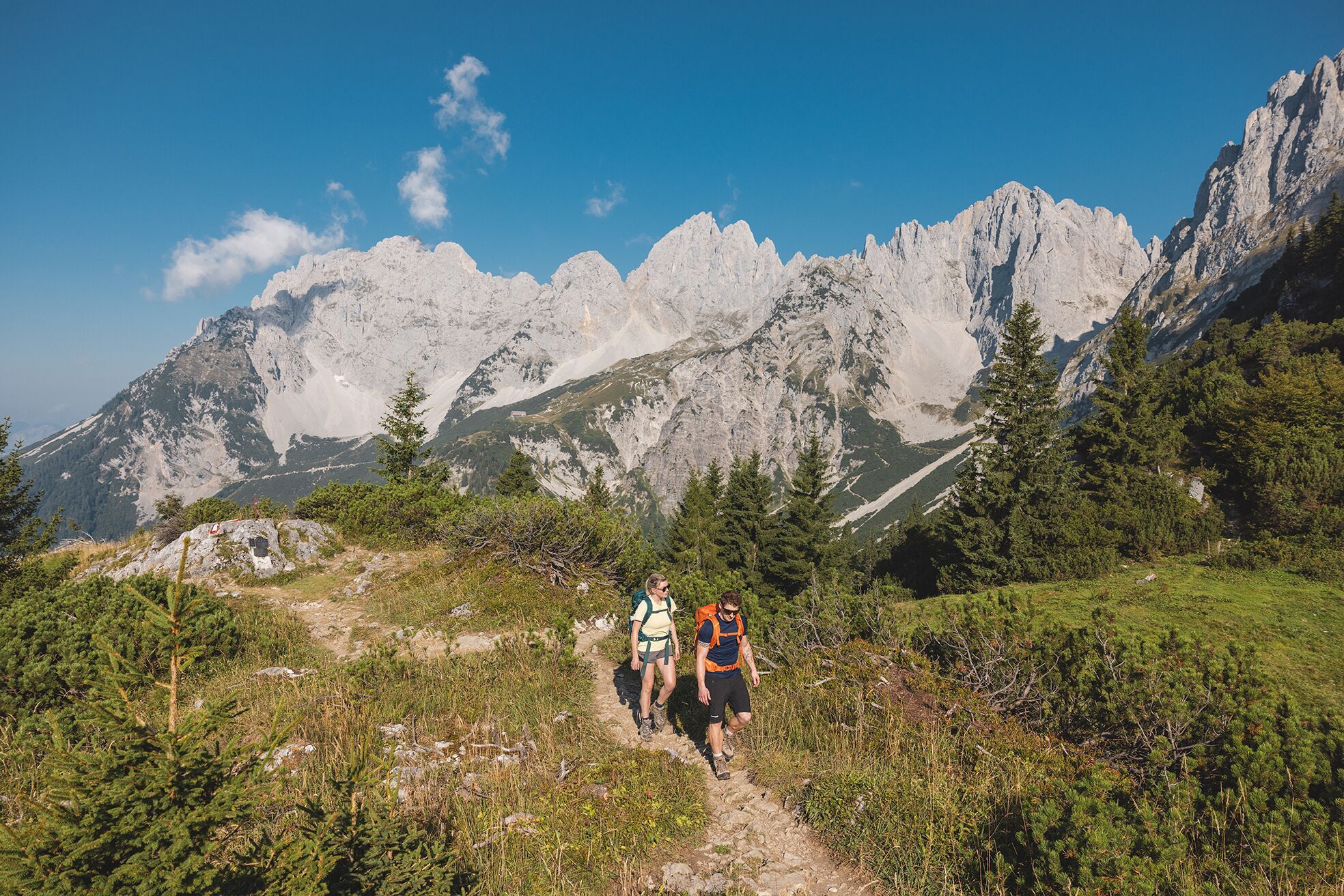
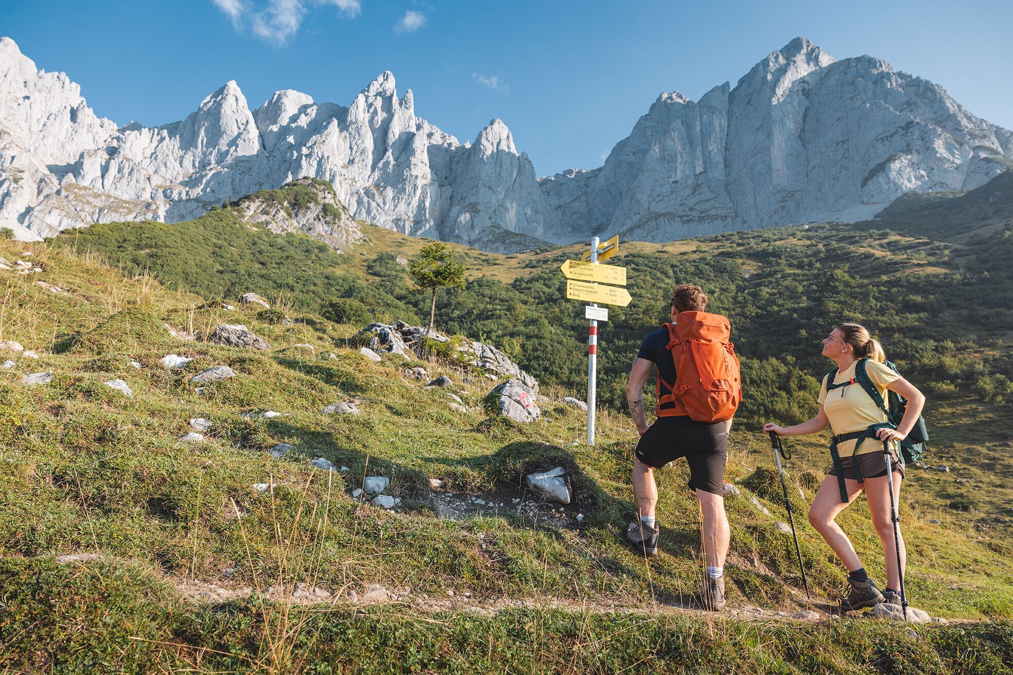
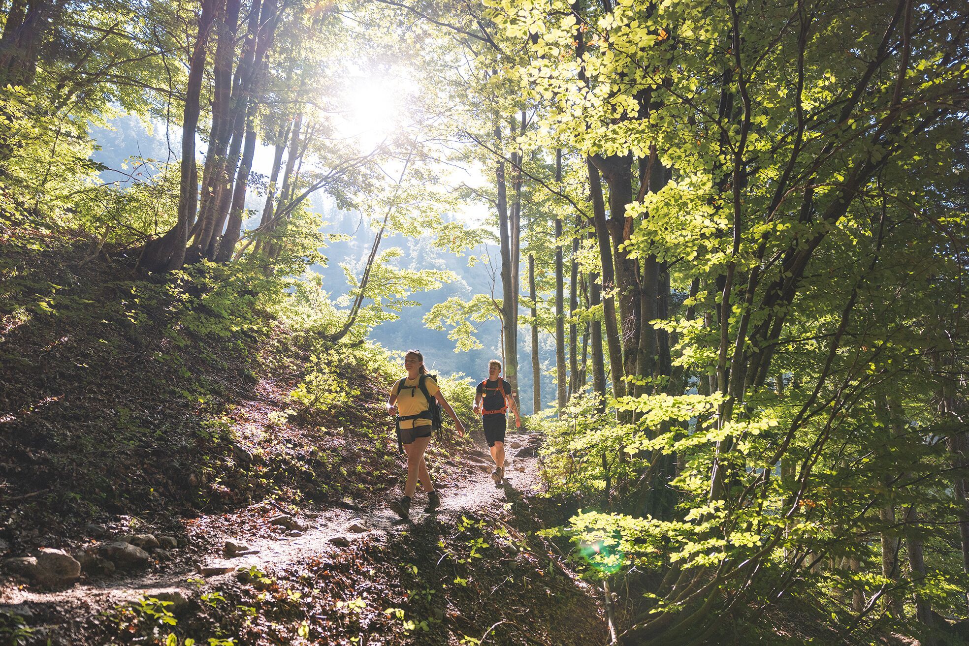
A moderately difficult opening stage of the Kaiserkrone, which leads from the rural foothills of the Wilder Kaiser up into an increasingly rocky and impressive mountain landscape. After a leisurely start along forest and woodland trails, the Stiegenbach Waterfall and the vast alpine meadows at Graspoint-Niederalm and Oberer Regalm offer the first highlights, before the Kaiser Massif comes into close view at Baumgartenköpfl, with the mountaineer’s grave and breathtaking panoramic views. From here on, the scenery becomes distinctly more alpine: trails, cart tracks, and mountain paths give way to rocky passages, some with sections secured by ropes, which require sure-footedness and focused walking. With the Gaudeamushütte and the high-altitude Gruttenhütte, this stage offers two ideal stops for rest and refreshment; in between, the Klammlweg presents a particularly striking section of the trail.









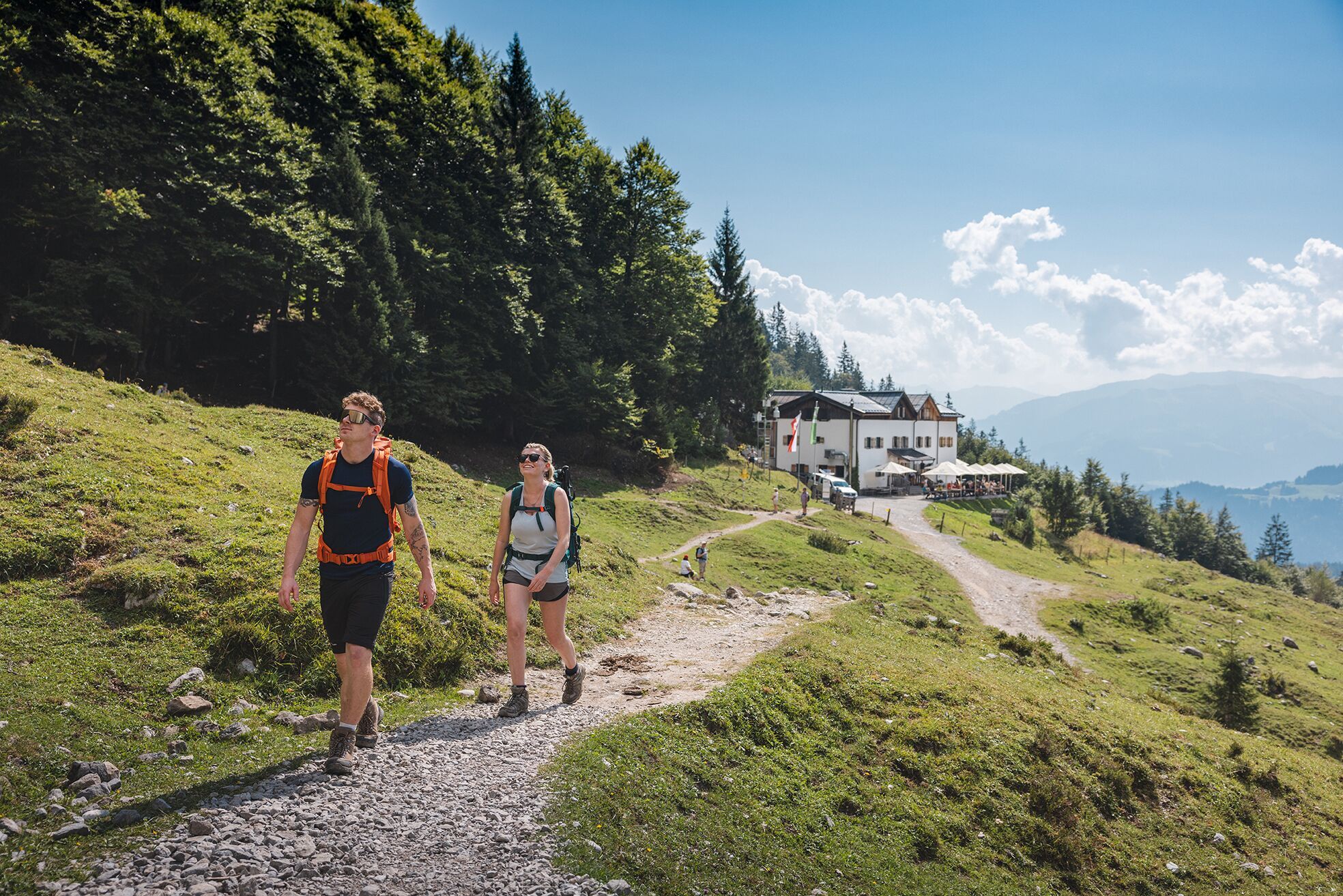


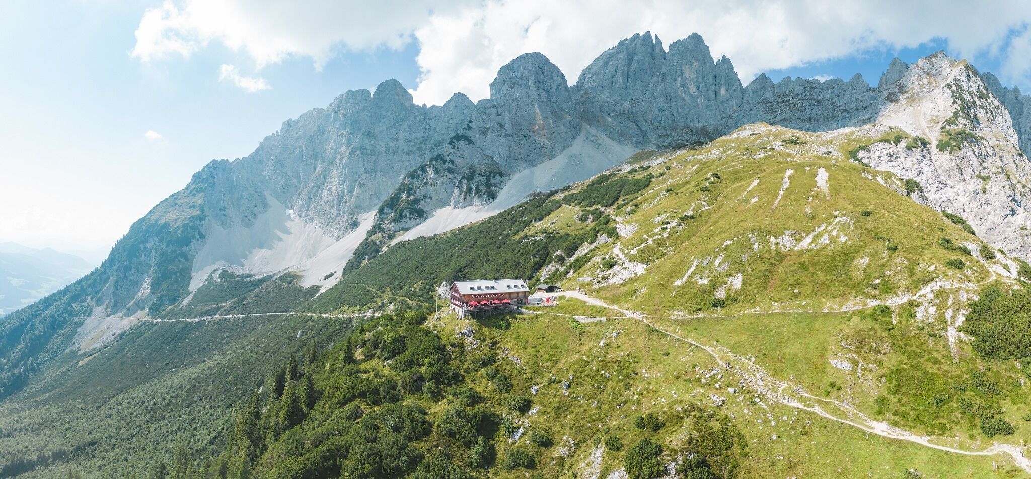


Culinary Experience and a pure mountain experience!
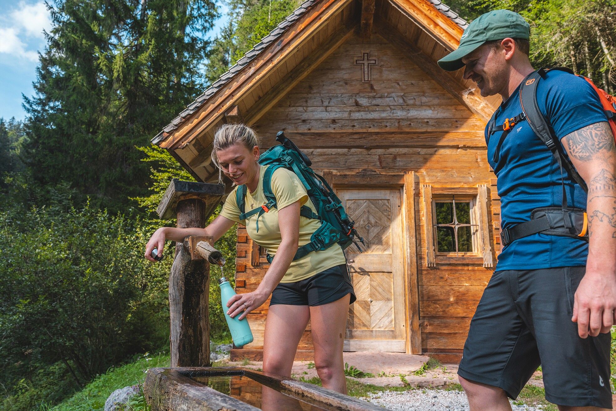
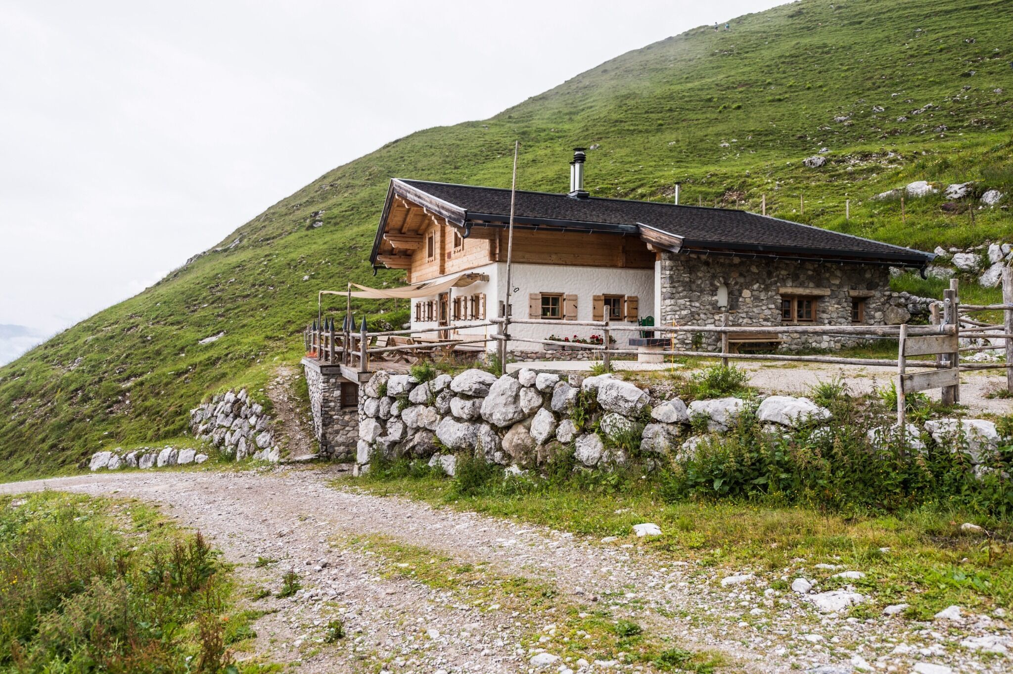
The Starting Point is the Hüttling trailhead in Going (820 m). Forest Trail 817 leads to the Graspoint-Niederalm ( 981 m) and then continues as Trail 817 through the forest, past the Stiegenbach Waterfall, to the junction where you’ll hike along Trail 827 (Eagle Walk) to the Obere Regalm ( 1,313 m), where you can enjoy homemade Local Specialities.
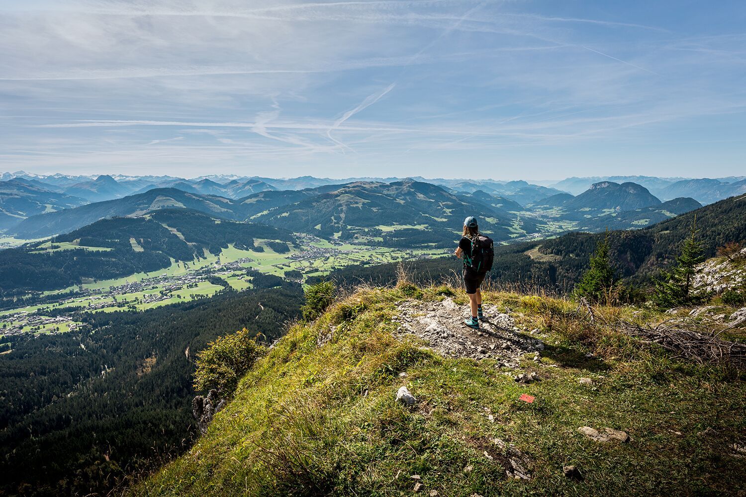
Well-fortified, continue uphill on Trail 827 across alpine meadows to the Brennenden Palven (also known as Baumgartenköpfl, 1,568 m). Breathtaking panoramic views of the Wilder Kaiser rock massif to the north and the Kitzbühel Alps and Hohe Tauern to the south are the reward for the climb. This is also the site of the famous mountaineer’s grave where “Koasamuch” found his final resting place. Much Wieser, the famous mountaineer of the “Edelweißgilde” born in Scheffau in 1888, championed the creation of summit logs on all of the Kaiser peaks.
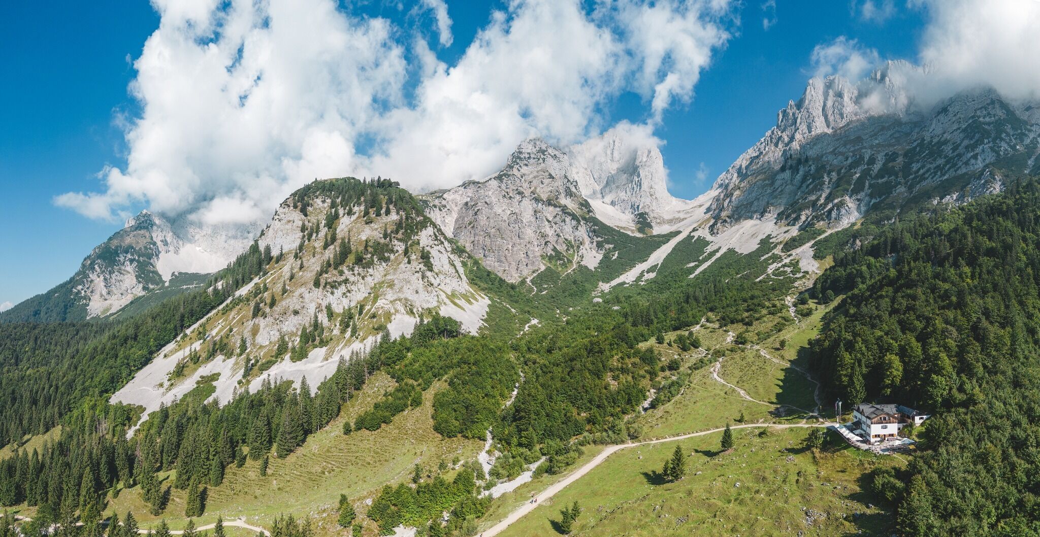
Trail 824 leads only downhill toward the west to the Gaudeamushütte (1,263 m), which beckons with an impressive view of the Ellmauer Tor. Tired hikers will find not only a Culinary Experience to recharge here, but also the first cozy place to spend the night.
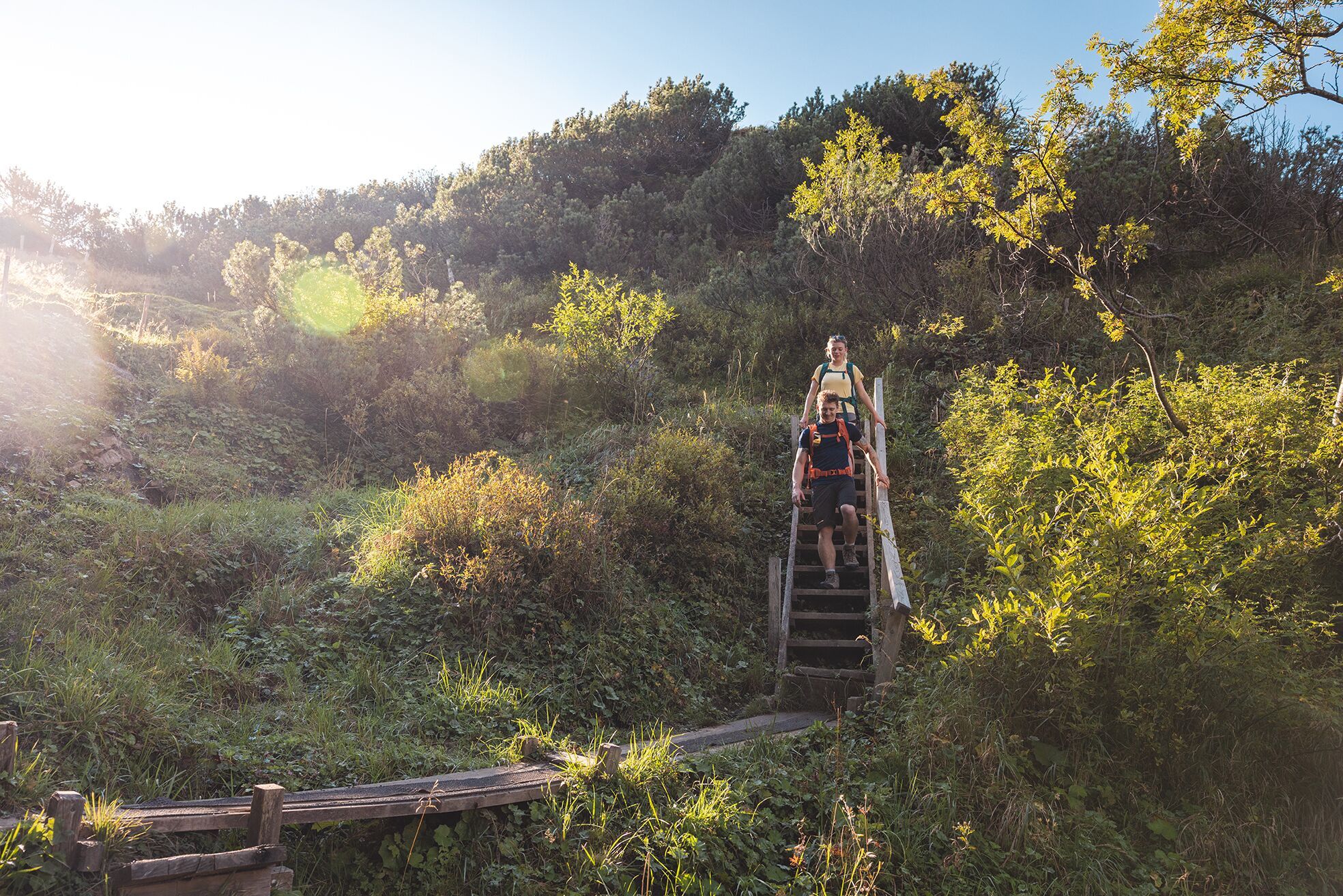
Those who continue hiking should follow Trail 813/824 from here toward the Gruttenhütte via the Klammlweg (approx. 1–1½ hours). The narrow trail, which winds through the steep but fascinating Klamml, is secured with a ladder and several iron clamps (Sure-footedness and a head for heights are essential! Caution: risk of falling rocks from the Via Ferrata! No Via Ferrata set is required for this Moderately Difficult Trail).
As you exit, enjoy the fantastic view of the “Wilde Schloss,” an impressive, legendary rock massif with towers, spires, caves, and ledges, as well as the eastern peaks of the Wilder Kaiser.
After a few switchbacks, you’ll reach the Gruttenhütte ( 1,620 m), the highest mountain hut in the Wilder Kaiser, with a beautiful sun terrace and a view of the Ellmauer Halt—at 2,344 m, the highest peak. On a clear day, you can enjoy fantastic views of the main Alpine ridge and the Großglockner.
Note:
Obere Regalm—open only in good weather on Friday, Saturday, and Sunday; from mid-September to mid-October on Saturday and Sunday
Accommodations on Stage 1:
Gaudeamushütte
Gruttenhütte
▶ to Stage 2
▶ to the Access/Descent route via Ellmau, Wochenbrunner Alm–Gruttenhütte
▶ Alternative Route: Klamml Bypass
▶ Alternative Route: Wilder Kaiser Trail – Jubiläumssteig
Legends of the Wilder Kaiser:
The Venedigermandl of the Goldtropf
From the following stops, you can take a call taxi directly to the Hüttling hiking trailhead in Going:
80 KaiserJet and 865+866 VVT regional bus routes: Ellmau Dorf/Bauhof or Going am Wilden Kaiser Dorf
Reservations must be made by 8:00 p.m. the day before at the latest by calling: +43 (0)664 88222598, or alternatively +43 (0) 5358 21010
With the Wilder Kaiser GästeCard, the on-demand taxi service is free of charge.
You can find more information and the schedules on this page:
Local
Transportation | Wilder Kaiser
Coming from Wörgl or Kufstein on Federal Highway B178, take the exit for Going. Drive through the town and turn left at the Raiffeisenbank. After the underpass, turn left. After about 50 meters, the road splits—the parking lot is located right in between (to the right of the on-ramp to the B178).
Coming from St. Johann on Federal Highway B178, take the first exit toward Going. Drive through town and turn right at the Raiffeisenbank. After the underpass, turn left. After about 50 meters, the road splits—the parking lot is located right in between (to the right of the entrance to the B178).
Multi-day parking lot, Going (766 m) – free of charge
Camping and long-term parking (14 days or more) are prohibited in this parking lot.
The parking lot at the hiking trailhead in Hüttling is a day-use parking lot, which means you cannot purchase a ticket valid for multiple days. The parking ticket is therefore valid only on the day it is issued! This parking lot is open to the public from May through October. During the winter months from November through April, the parking lot is unattended. Use during this time is at your own risk!
Camping and long-term parking are prohibited in this parking lot. (Illegally parked vehicles will be reported to the police and towed.)


