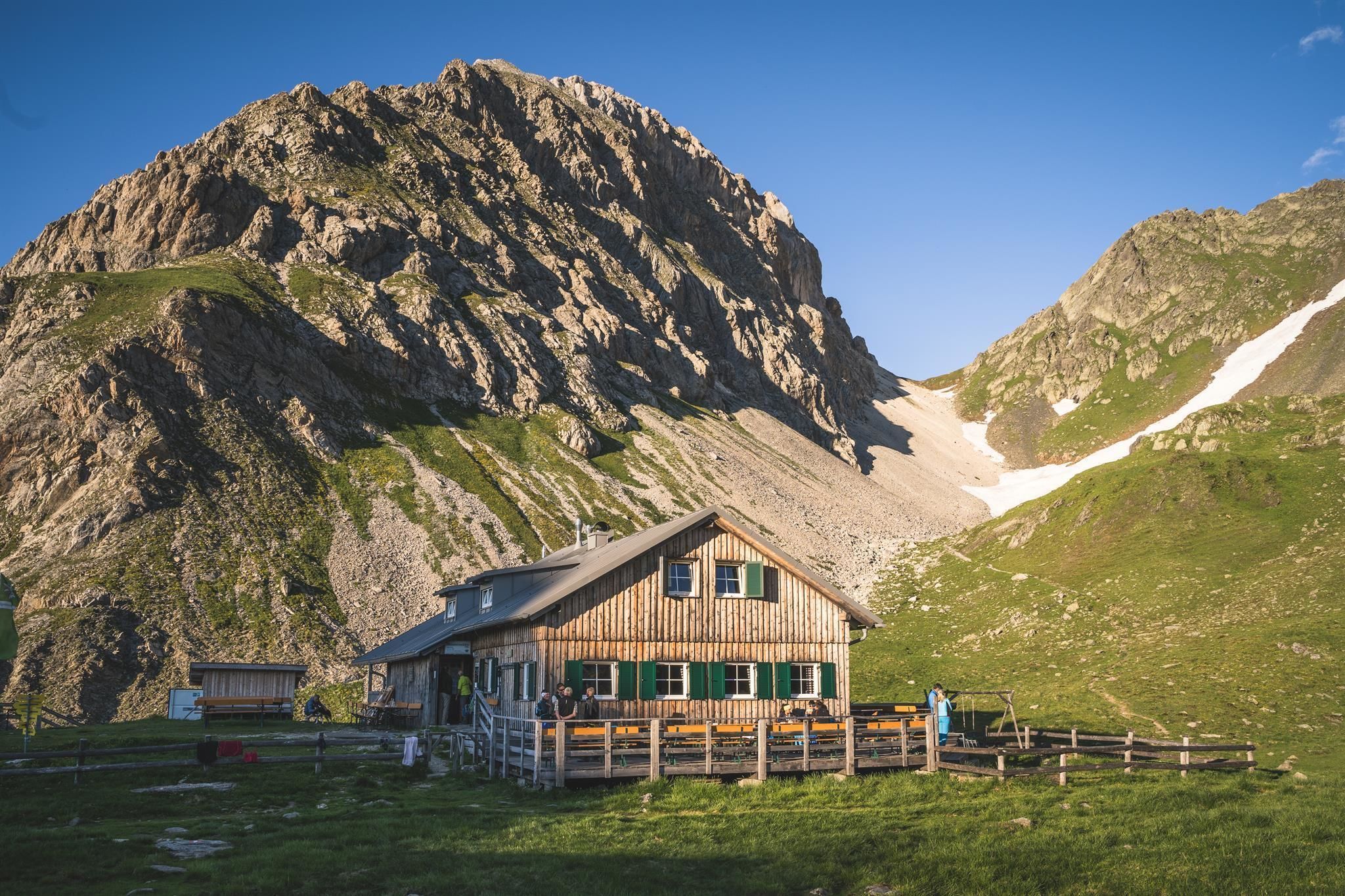
Long-distance hike Carnic altitude trail. Stage 2: Sillianer Hütte- Obstansersee Hütte

Sillian / Carnic Main Crest
Difficulty ratings: medium
Route length: 8.7 km

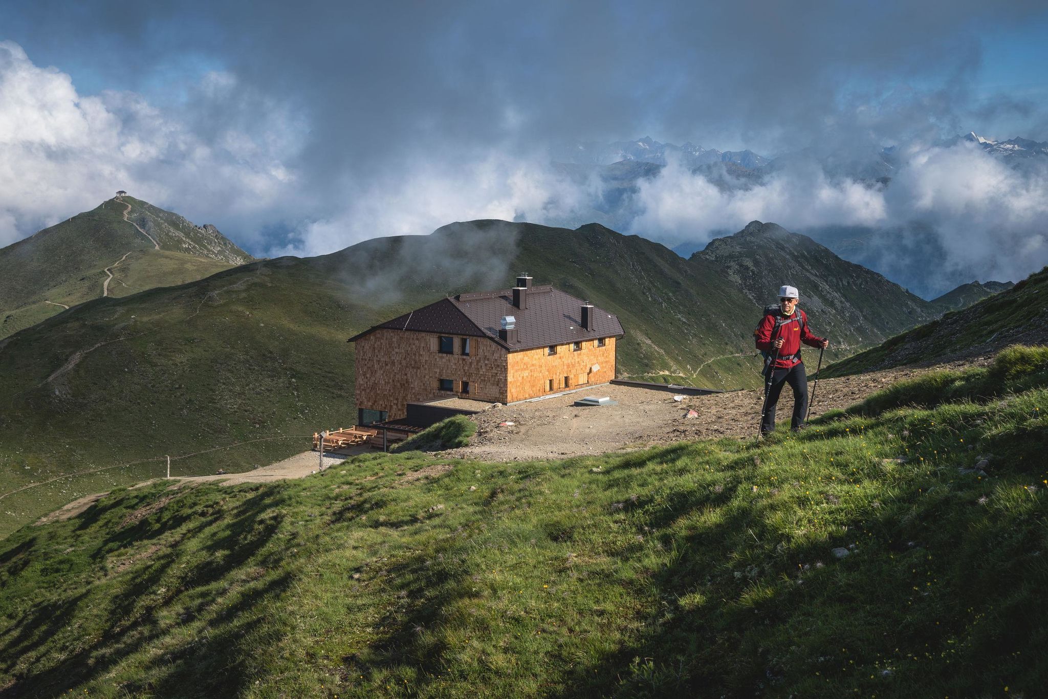
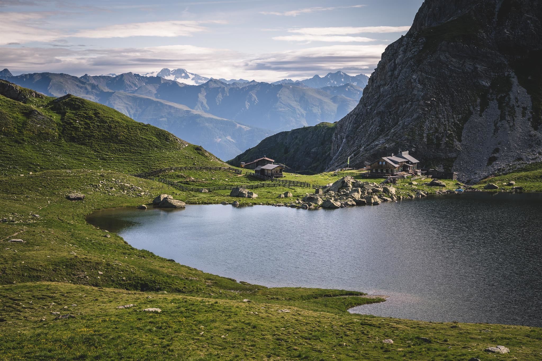
Dream route along old war ruins. We are grateful to be able to experience this dream scenery peacefully. Past the Hochgräntensee lake, with its old war cemetery, we hike to the Obstanser hut. A refreshment stop is a must, if only for the view of the Sesto Dolomites and the Grossglockner.

Tour character

Medium-difficulty stage on red mountain paths. The route requires surefootedness, good walking technique and excellent fitness.
Tour information

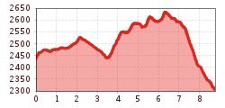
  • Requirement: medium
  • Length: 8.7 km
  • Elevation uphill:503 hm
  • Elevation downhill:0 hm
Highest point2,644 m

Starting point

Sillianer Hütte

Finishing point

Obstansersee Hütte 2304m

Best time of year

  • January
  • February
  • March
  • April
  • May
  • June
  • July
  • August
  • September
  • October
  • November
  • December
Source: TVB Osttirol

Description

Starting point is the Leckfeldalm and from Sillianer Hütte we follow the well signposted route no. 403 heading east, past the Hornischegg and Hollbrucker Spitze to Hochgräntensee. There is a war cemetery on its northern banks. We proceed via several hairpin bends to the north side of the summit of the Demut, continuing to the summit of the Eisenreich. Just before the summit of the Eisenreich, route 403 branches off to the left at Obstansersee Hütte.

Nearby huts and mountain restaurants

More tours in the surrounding area

  • Rollitour with Swiss Trac

    Difficulty:easy
    Length:3.2 kmDuration:1:30 hElevation uphill:135 m
  • Figerhorn

    Difficulty:difficult
    Length:6.6 kmDuration:6:00 hElevation uphill:811 m
  • Theme path "Virgen crossroads"

    Difficulty:easy
    Length:3.2 kmDuration:1:00 hElevation uphill:104 m
  • Muhs panorama trail

    Difficulty:medium
    Length:15.2 kmDuration:6:00 hElevation uphill:1,090 m
  • Herz-Ass Villgratental

    Difficulty:medium
    Length:75.6 kmDuration:34:00 hElevation uphill:5,703 m
  • Children's mile Golzentipp

    Difficulty:easy
    Length:3.7 kmDuration:2:00 hElevation uphill:140 m
  • Hike to Kalser Tauernhaus

    Difficulty:medium
    Length:12.2 kmDuration:4:00 hElevation uphill:244 m
  • Hiking tour to Neue Sajathütte 2.600m

    Difficulty:medium
    Length:10.3 kmDuration:6:50 hElevation uphill:1,086 m
  • Hiking tour to Zupalsee Hütte 2.350m

    Difficulty:medium
    Length:14.9 kmDuration:8:30 hElevation uphill:1,261 m
  • Badener Hütte

    Difficulty:difficult
    Length:23.2 kmDuration:12:00 hElevation uphill:1,754 m
  • Lucknerhaus - Stüdlhütte

    Difficulty:medium
    Length:9.3 kmDuration:4:30 hElevation uphill:862 m
  • Hike to Neuen Reichenberger Hütte

    Difficulty:medium
    Length:18.2 kmDuration:9:00 hElevation uphill:1,252 m
  • Hiking tour to Lasörlinghütte 2.350m

    Difficulty:medium
    Length:14.6 kmDuration:7:50 hElevation uphill:1,135 m
  • Hiking tour to St. Pöltner Hütte and 3 lakes

    Difficulty:difficult
    Length:14.8 kmDuration:7:40 hElevation uphill:1,119 m
Newsletter

The mountain is calling? So does our newsletter!

In our monthly newsletter we reveal the best holiday tips for Tyrol.