Mountain hikes Hiking tour to Sudetendeutschen Hütte 2.650m

Matrei in Osttirol / Granatspitzgruppe
Difficulty ratings: medium
Route length: 15.5 km
Duration: 7:00 h

The great thing about this tour is that you are not only rewarded for your efforts at the top, but usually from the very first steps. With its location in the heart of the Hohe Tauern National Park, there is a good chance of spotting all the highlights of the local flora and fauna along the way, from marmots and eagles to edelweiss and ibex.

Tour character

Moderately difficult hike across the Edelweiss meadow to the Äußere Steiner Alm and via a steeper path to the Sudetendeutsche Hütte. If you are sure-footed and have a head for heights, you should definitely make a detour to the Großer Muntanitz (3,232 m).

Tour information

  • Requirement: medium
  • Length: 15.5 km
  • Duration: 7:00 h
  • Elevation uphill:1,200 hm
  • Elevation downhill:1,200 hm
Highest point2,650 m

Starting point

Parking place Glanz

Finishing point

Parking place Glanz
  • Fitness level 3 / 6
  • Technique 3 / 6

Best time of year

  • January
  • February
  • March
  • April
  • May
  • June
  • July
  • August
  • September
  • October
  • November
  • December
Source: Nationalparkregion Hohe Tauern Osttirol

Description

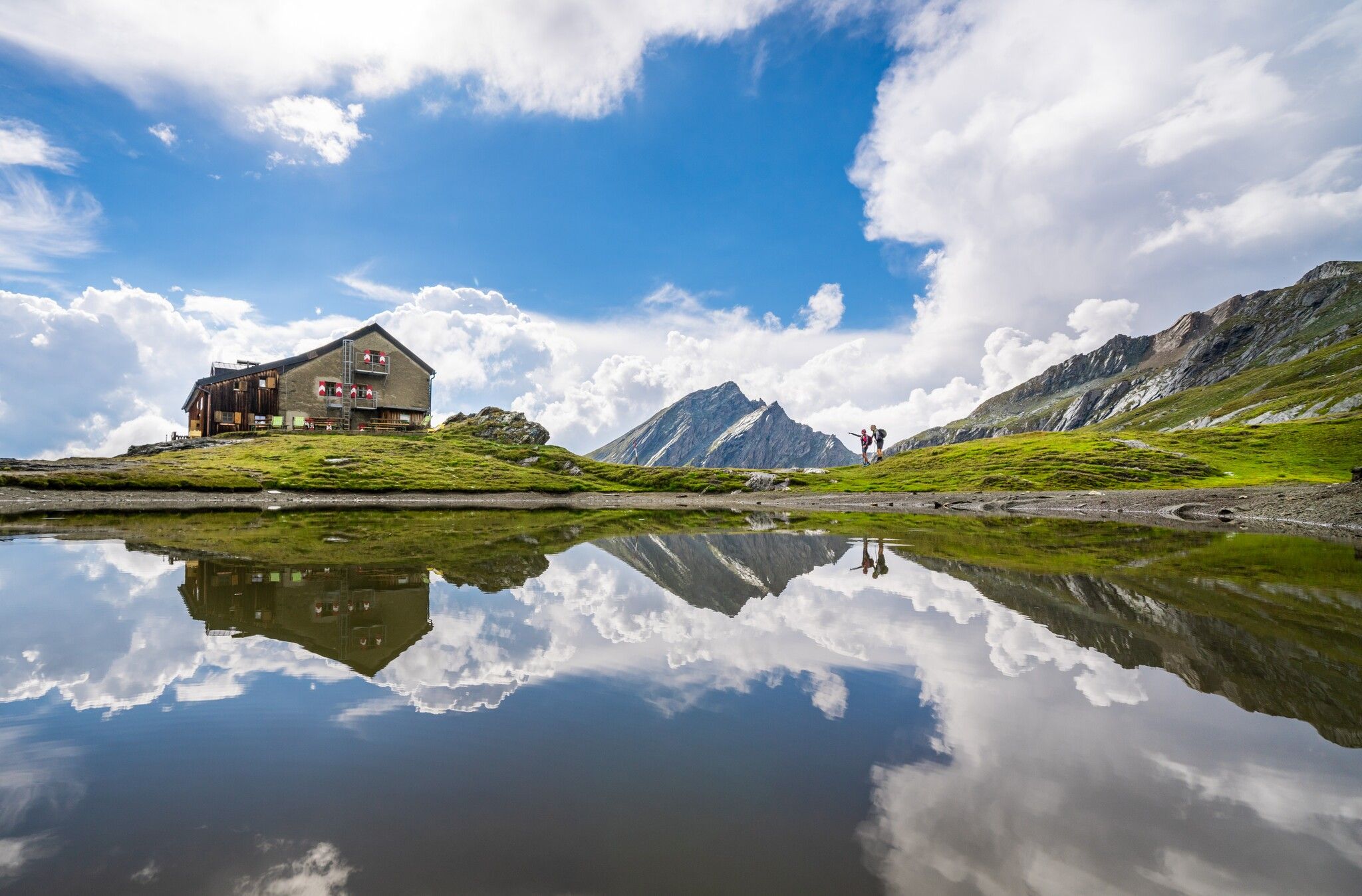
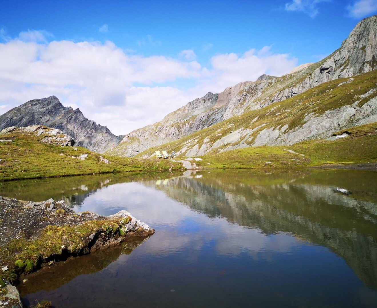
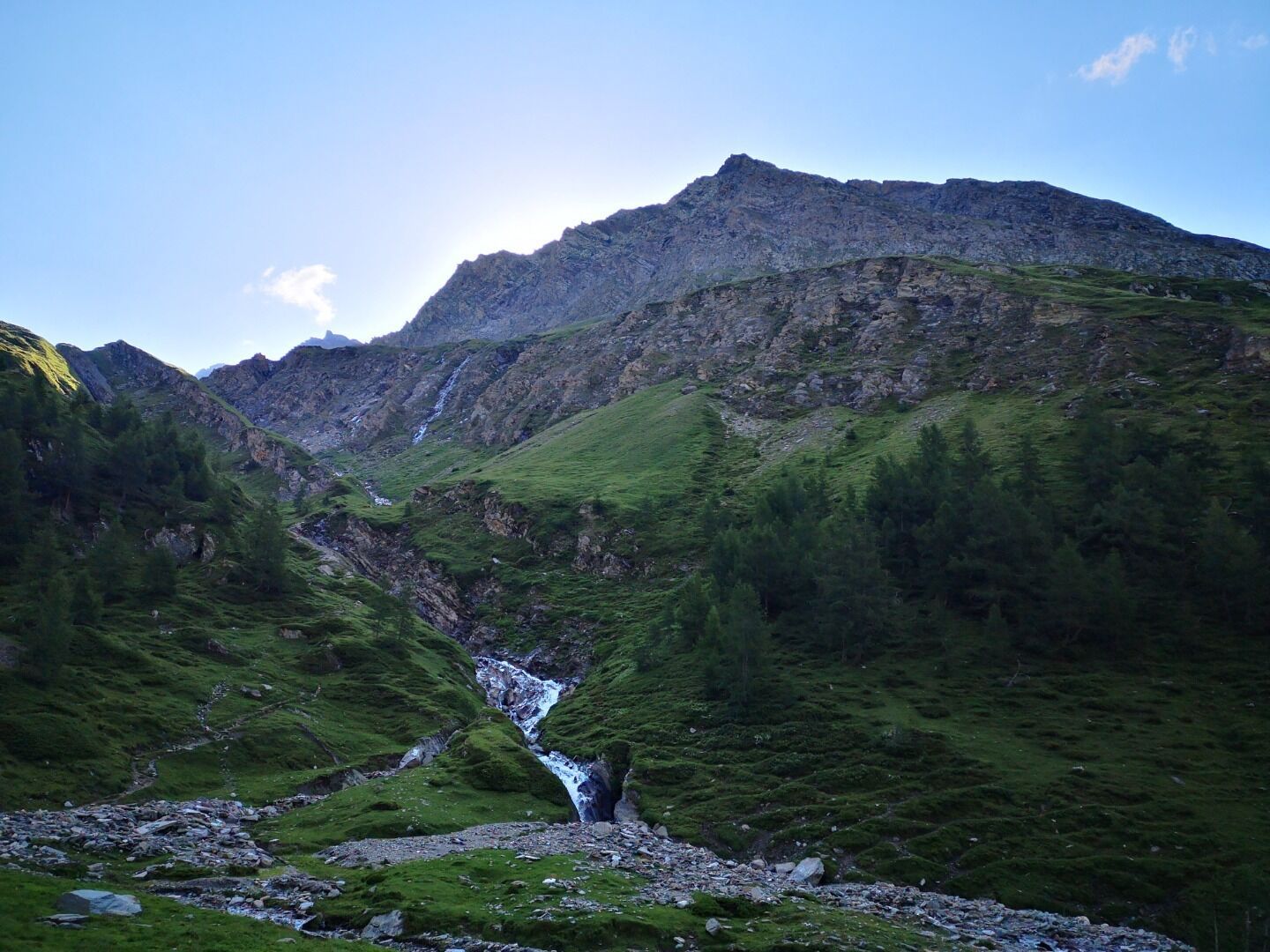
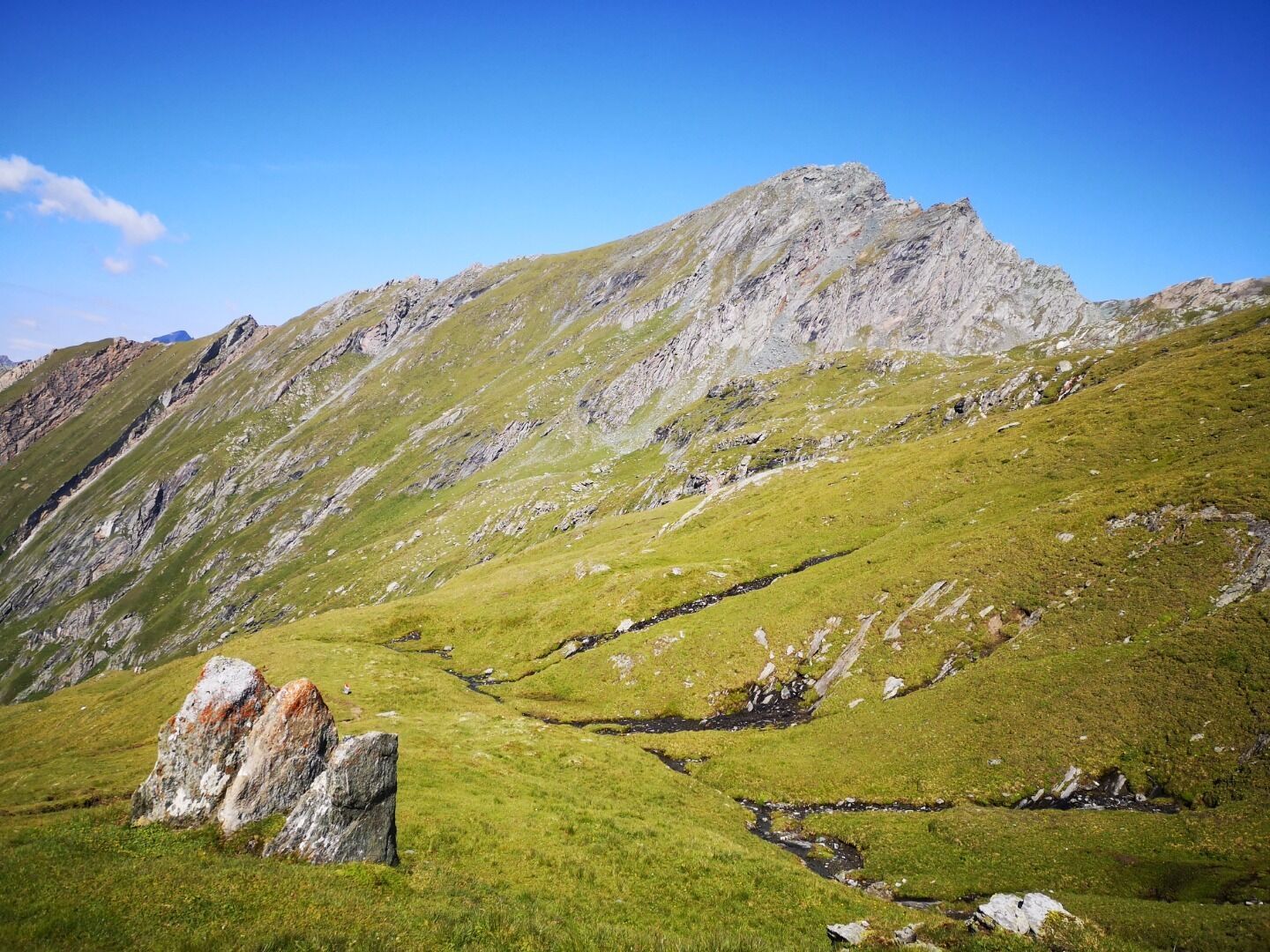
The starting point of this demanding hike is the parking place Glanz. From there, follow either the wide road or the somewhat steeper forest path. Then walk across the so-called Edelweißwiese and stay on the same path to reach the hut Äußere Steiner Alm. From the Äußere Steiner Alm, take the marked trail towards the hut Sudetendeutsche Hütte, which first leads over a flat valley floor and then over steeper terrain. The trail continues along the stream Steinerbach until the terrain becomes somewhat flatter again. Soon you are greeted by the imposing moutain range Granatspitzgruppe with its magnificent mountain peaks. The hut Sudetendeutsche Hütte, embedded in this group, is already in view at this point.

Nearby huts and mountain restaurants

Getting here

  • Arrival by public transport

    Matrei i. O. Mittelschule

  • Parking

    Parking place Glanz

More tours in the surrounding area

  • Lasörling altitude trail

    Difficulty: medium
    Length: 57.0 km Duration: 25:00 h Elevation uphill: 3,740 m
  • Venediger altitude trail

    Difficulty: difficult
    Length: 55.5 km Duration: 27:00 h Elevation uphill: 3,915 m
  • Figerhorn

    Difficulty: difficult
    Length: 6.5 km Duration: 6:00 h Elevation uphill: 807 m
  • Lasörling 3.098m

    Difficulty: difficult
    Length: 21.9 km Duration: 12:00 h Elevation uphill: 1,940 m
  • Rotenkogel

    Difficulty: difficult
    Length: 3.9 km Duration: 3:00 h Elevation uphill: 383 m
  • Umbal waterfalls nature force trail

    Difficulty: easy
    Length: 5.8 km Duration: 2:30 h Elevation uphill: 250 m
  • Muhs panorama trail

    Difficulty: medium
    Length: 15.2 km Duration: 6:00 h Elevation uphill: 1,090 m
  • Hike to the Venedigerhaus Innergschlöß

    Difficulty: easy
    Length: 8.5 km Duration: 2:30 h Elevation uphill: 180 m
  • Hiking tour to Neue Sajathütte 2.600m

    Difficulty: medium
    Length: 10.3 km Duration: 6:50 h Elevation uphill: 1,080 m
  • Lucknerhaus - Stüdlhütte

    Difficulty: medium
    Length: 9.3 km Duration: 5:30 h Elevation uphill: 862 m
  • Hike to Neuen Reichenberger Hütte

    Difficulty: medium
    Length: 9.1 km Duration: 9:00 h Elevation uphill: 1,210 m
  • Hike to Kalser Tauernhaus

    Difficulty: medium
    Length: 12.2 km Duration: 4:00 h Elevation uphill: 244 m
  • Badener Hütte

    Difficulty: difficult
    Length: 23.2 km Duration: 11:30 h Elevation uphill: 1,750 m
  • Hiking tour to Lasörlinghütte 2.350m

    Difficulty: medium
    Length: 14.6 km Duration: 7:10 h Elevation uphill: 1,080 m
  • Böses Weibl

    Difficulty: difficult
    Length: 14.1 km Duration: 8:00 h Elevation uphill: 1,193 m
Newsletter

The mountain is calling? So does our newsletter!

In our monthly newsletter we reveal the best holiday tips for Tyrol.