Arrival by public transport
Information about the current bus times can be found here:
Startseite • Verkehrsverbund Tirol (vvt.at)
A moderately difficult hike to Muttekopf and the beautiful Muttekopf area!
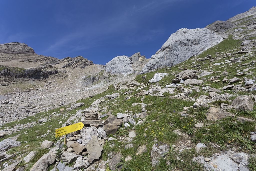
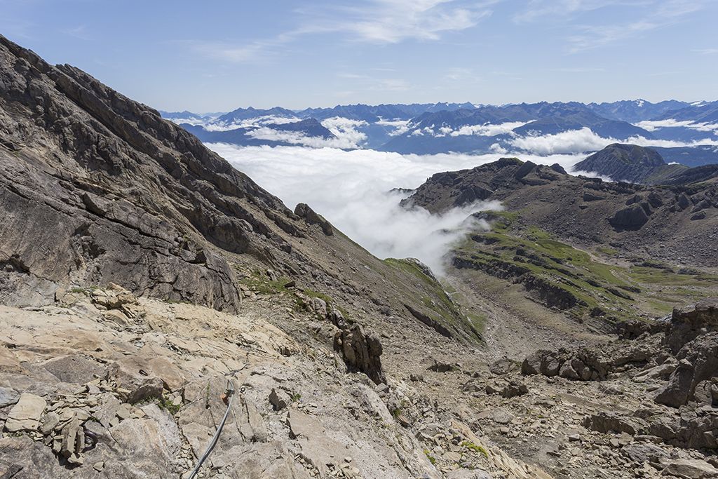
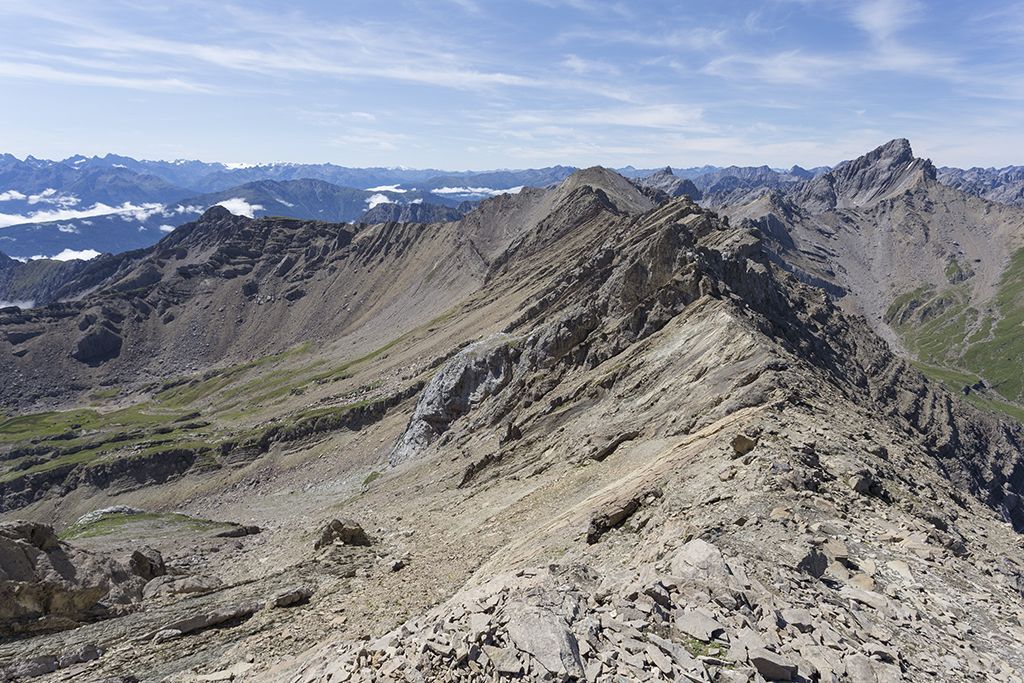
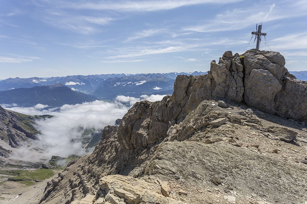
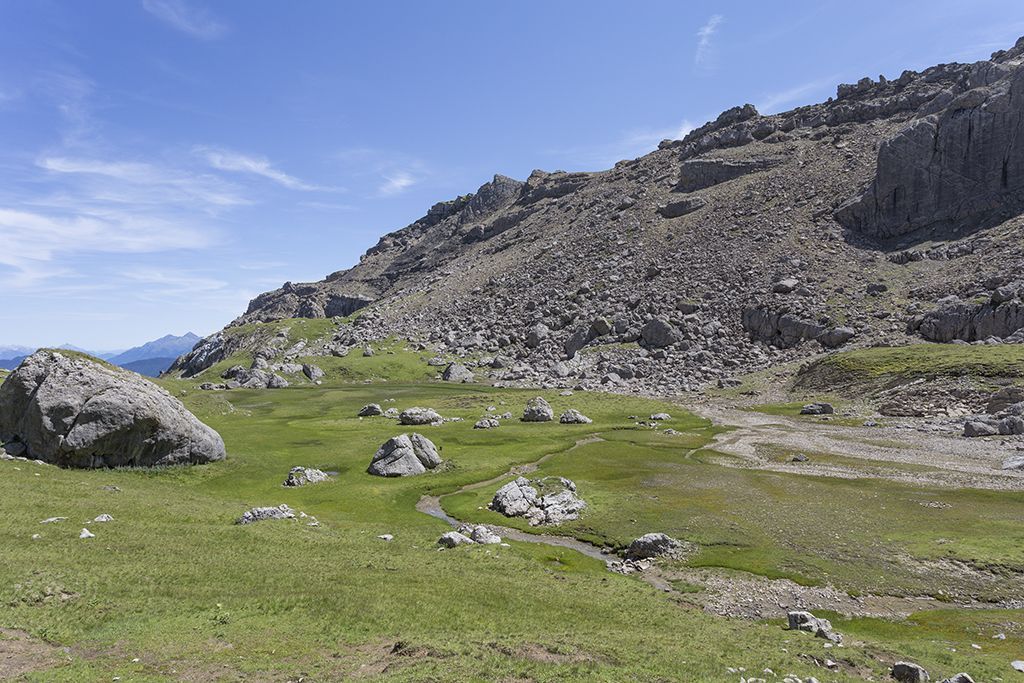

From Hoch-Imst you take the Imst cable cars (2 sections) to the Alpjoch mountain station. Here you will find the panoramic terrace SunOrama with sensational views. From the mountain station follow the path to the Adlerhorst viewing platform. After the turnstile begins the Drischlsteig (mostly rope-secured with steps) to the Muttekopfhütte. Shortly before the Muttekopfhütte there is a waterfall on the left side. From the Muttekopfhütte hike on the hiking trail (No. 622) in the direction of "Muttekopf" to the Muttescharte. From here, walk up the southwest ridge to the Muttekopf. The descent is on the same path via the Muttescharte downhill to the Muttekopfhütte.
Refreshment stops: Muttekopfhütte
Highlights: SunOrama panorama terrace, Adlerhorst viewing platform, waterfall, Muttekopf rest area,
Information about the current bus times can be found here:
Startseite • Verkehrsverbund Tirol (vvt.at)
Parking lot Imster Bergbahnen


