
Glödis via ferrata route

open
Nußdorf-Debant /

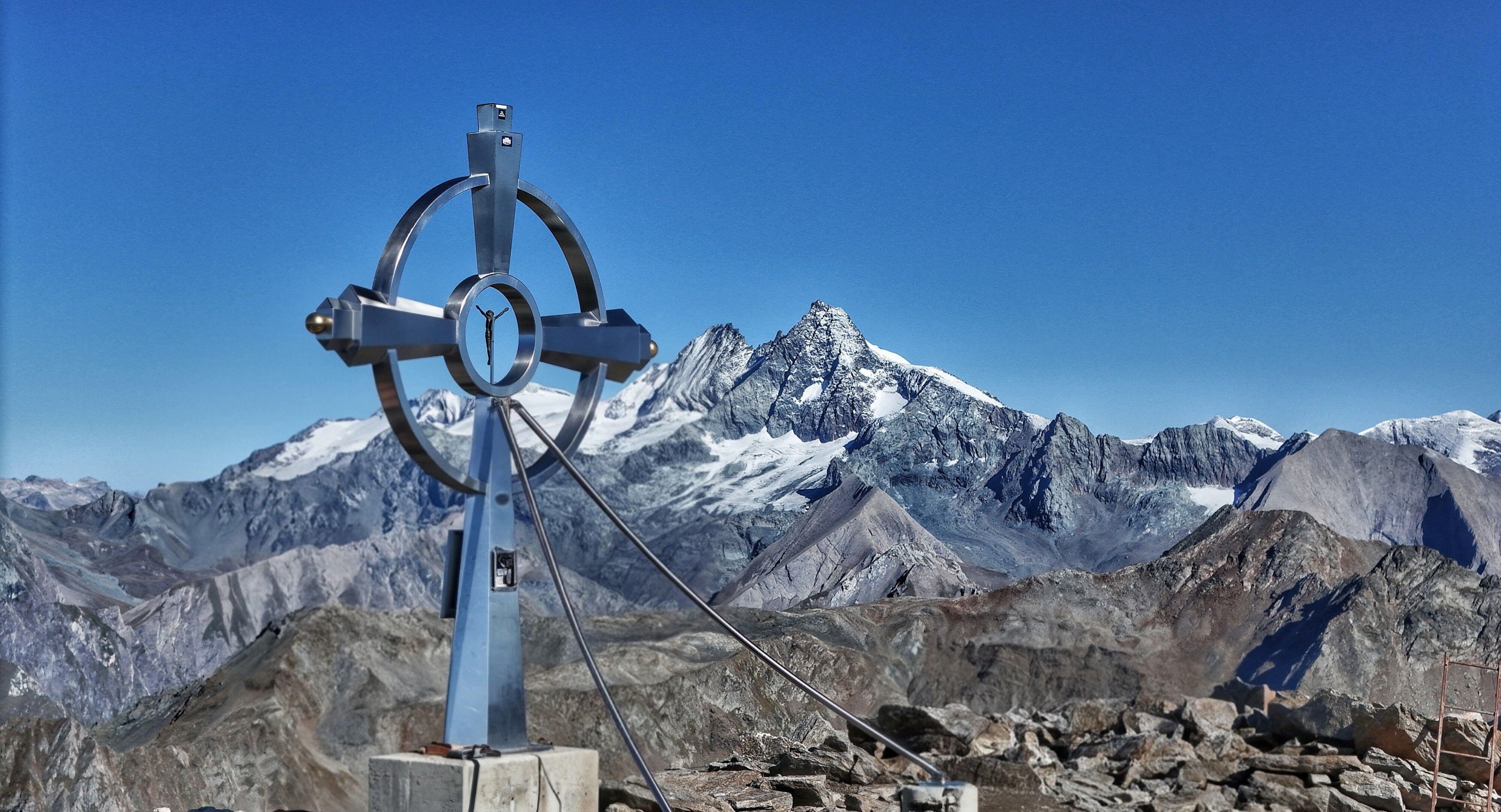
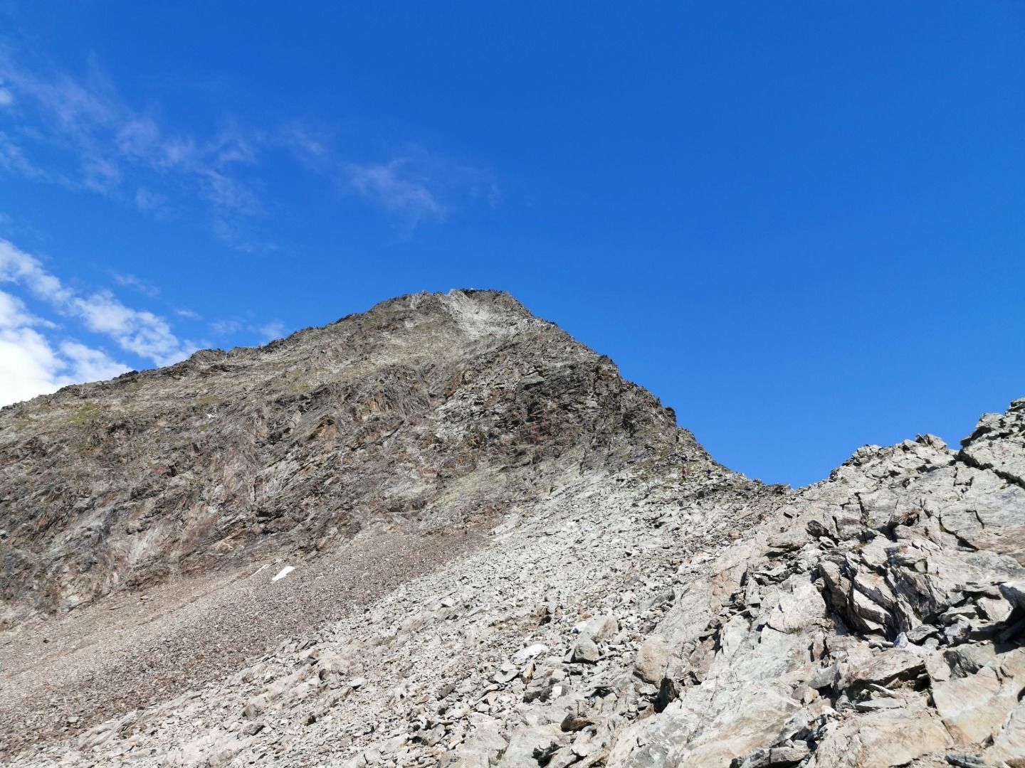
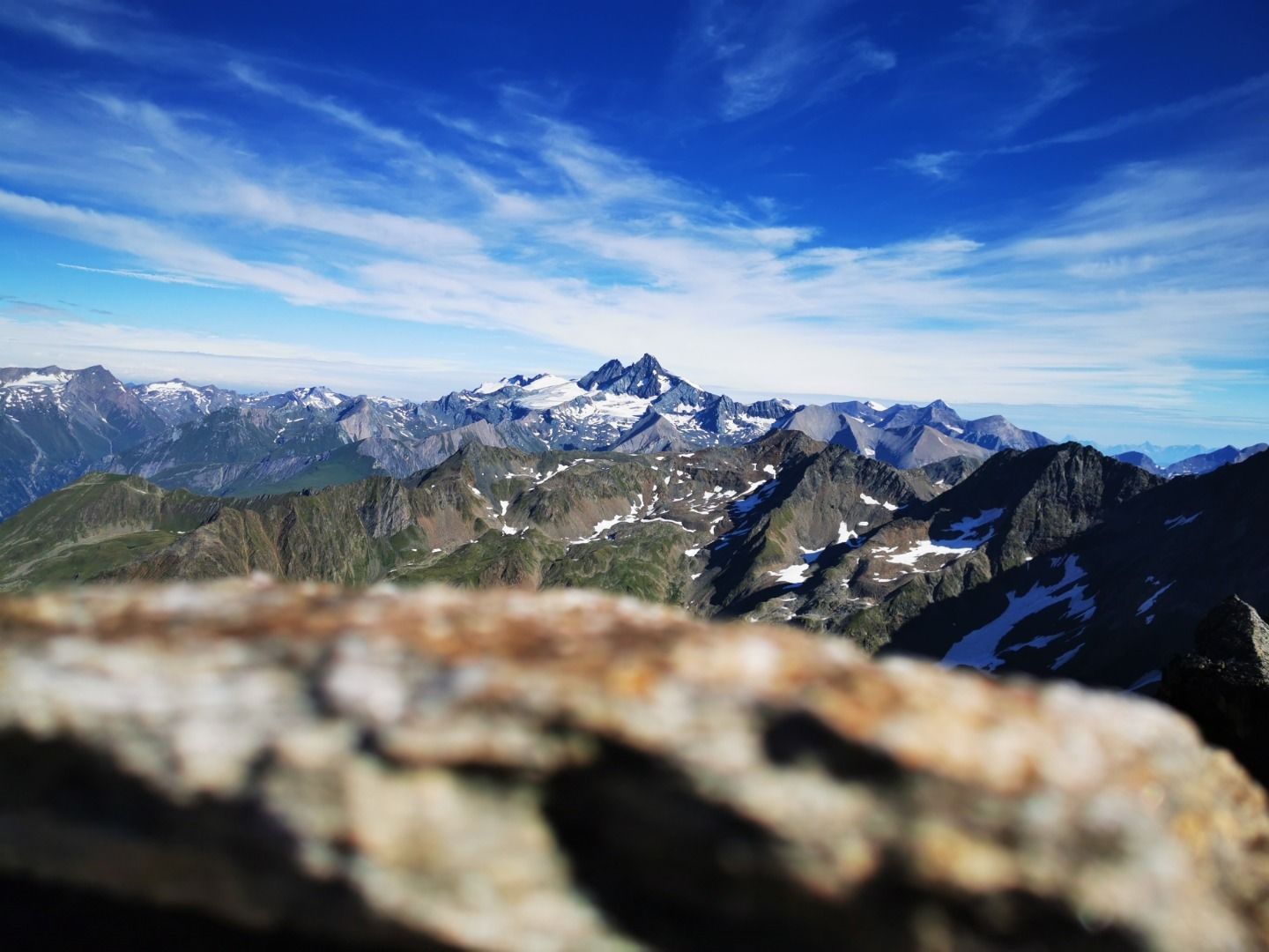
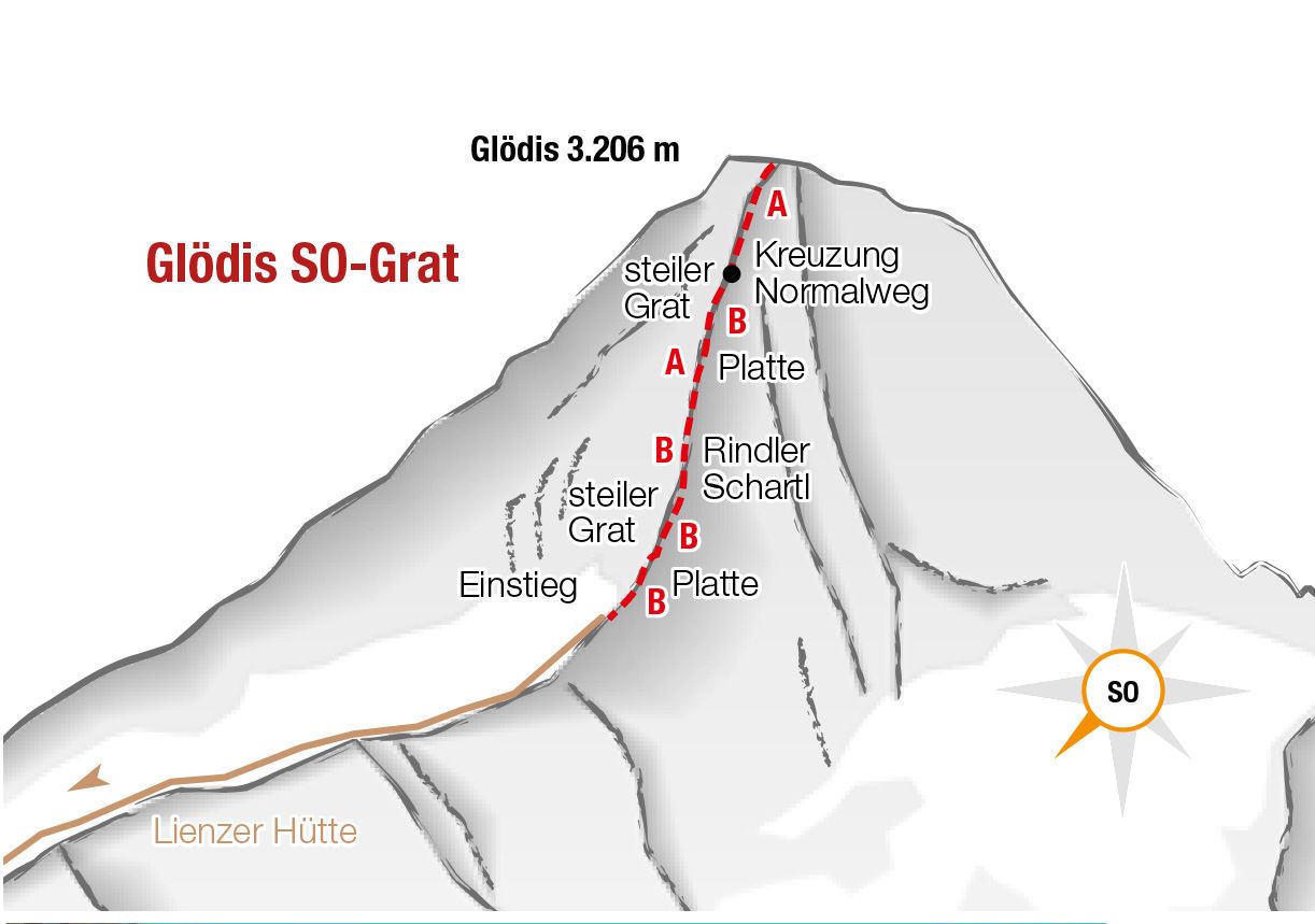
A magnificent three-thousand-meter peak with a summit cross that reflects the sun's rays. The Glödis, the East Tyrolean Matterhorn, meets the highest mountaineering standards, but also makes high demands.

Tour information

  • Elevation uphill:0 hm
  • Elevation downhill:0 hm

Best time of year

  • January
  • February
  • March
  • April
  • May
  • June
  • July
  • August
  • September
  • October
  • November
  • December
Source: TVB Osttirol

Description

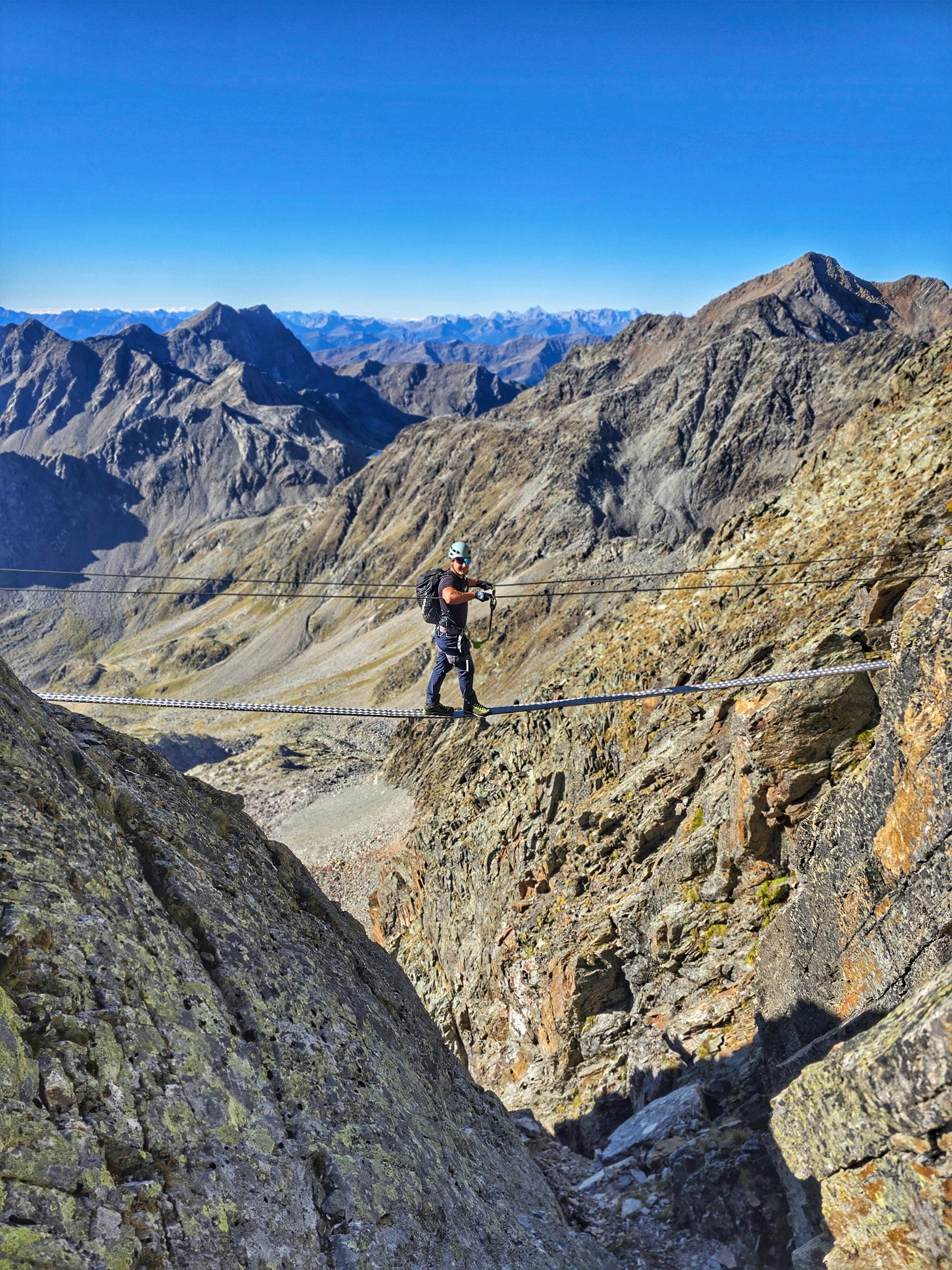
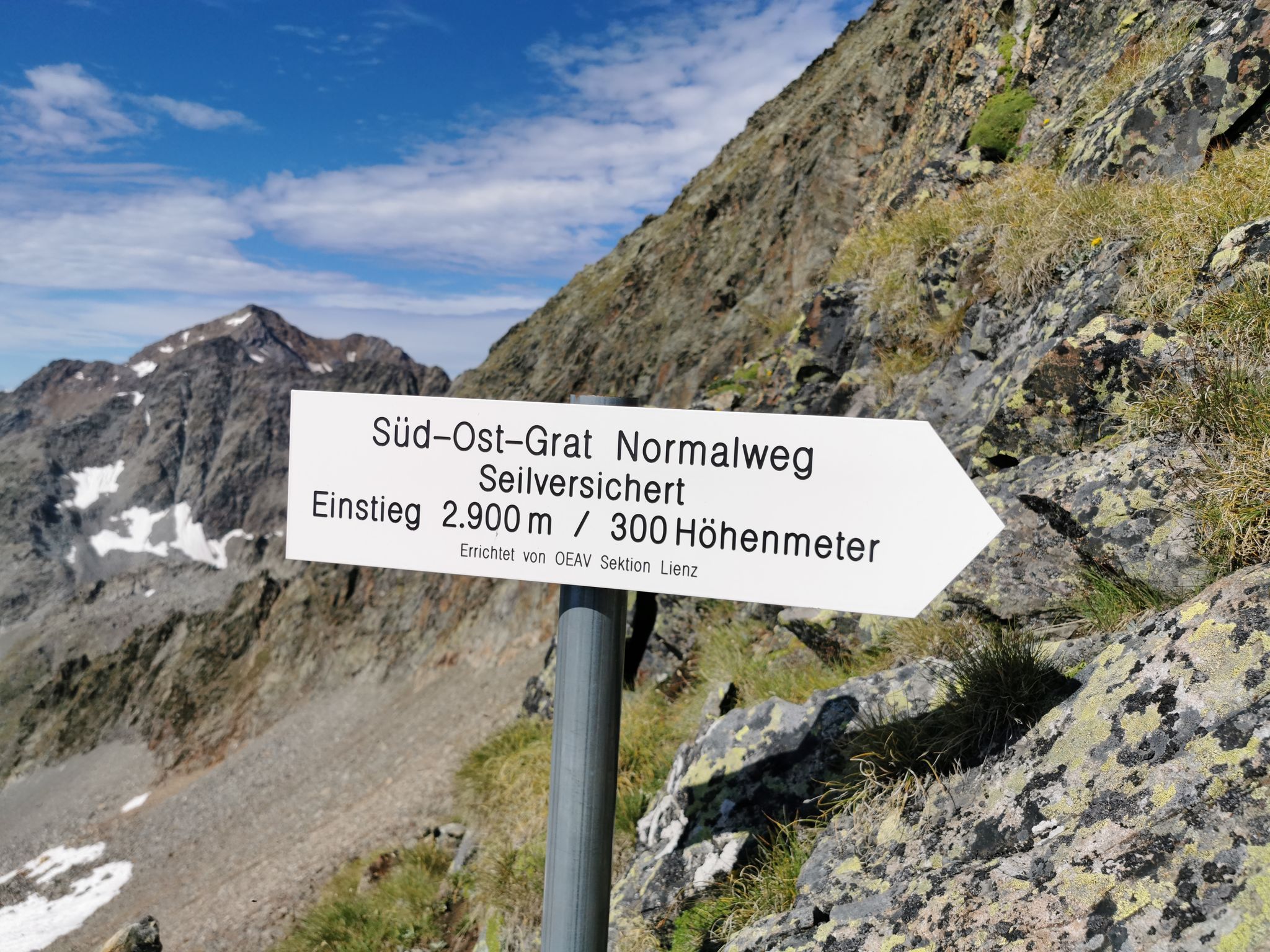
A fantastic panoramic view from the loveliest summit of the Schober group is the reward for the longer climb. The via ferrata route is not that difficult, the length of the tour and the thin air above 3000m does however require a good level of fitness and mountain experience.

This via ferrata route is the finish of a high alpine mountain tour. The weather can change very quickly here (check your equipment!). Equipment: Complete via ferrata equipment and helmet. Crampons, ice pick and an additional safety rope for spring and winter climbs.

Upholder: ÖAV Sektion Lienz 

Getting here

  • Parking

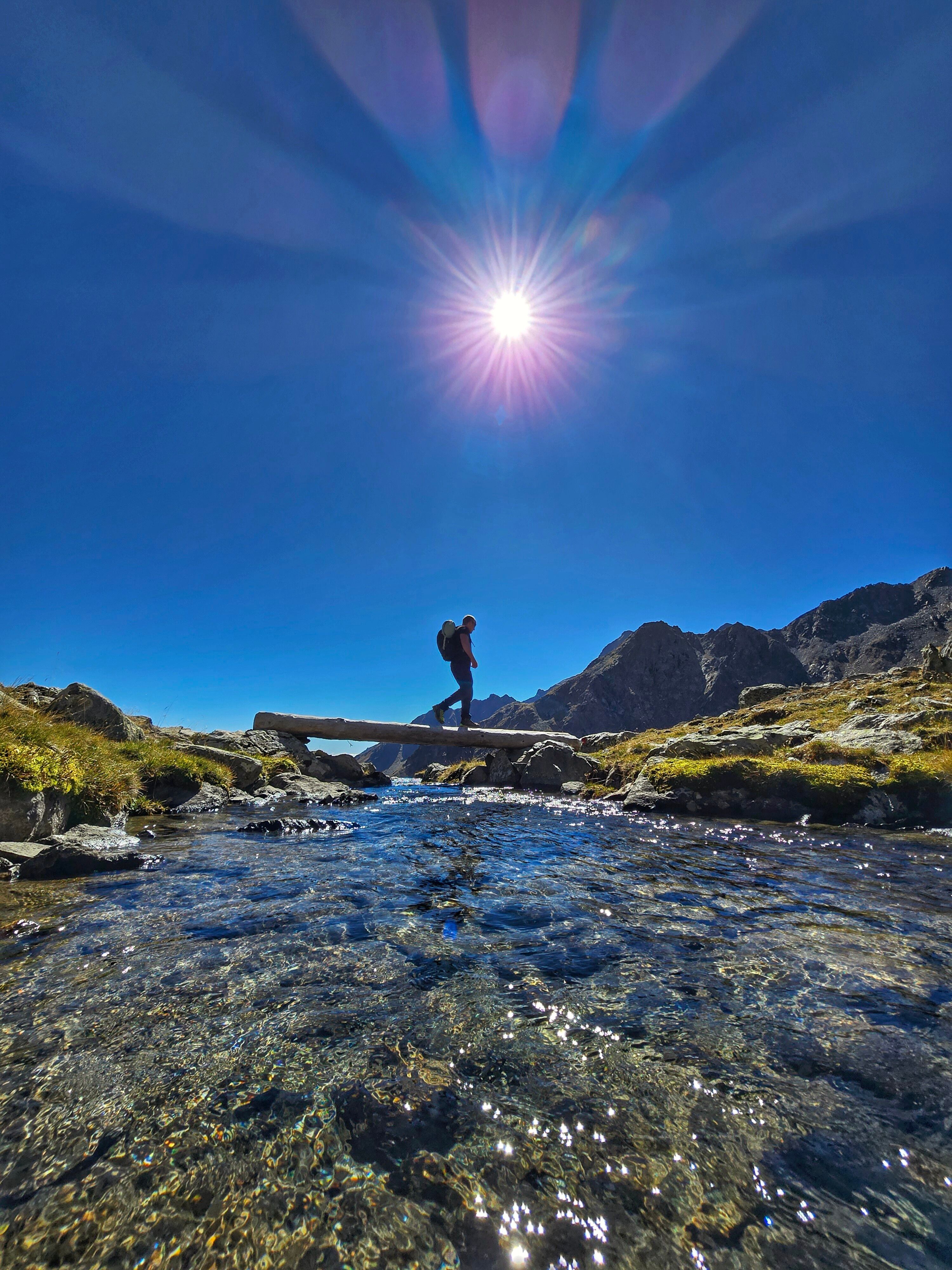
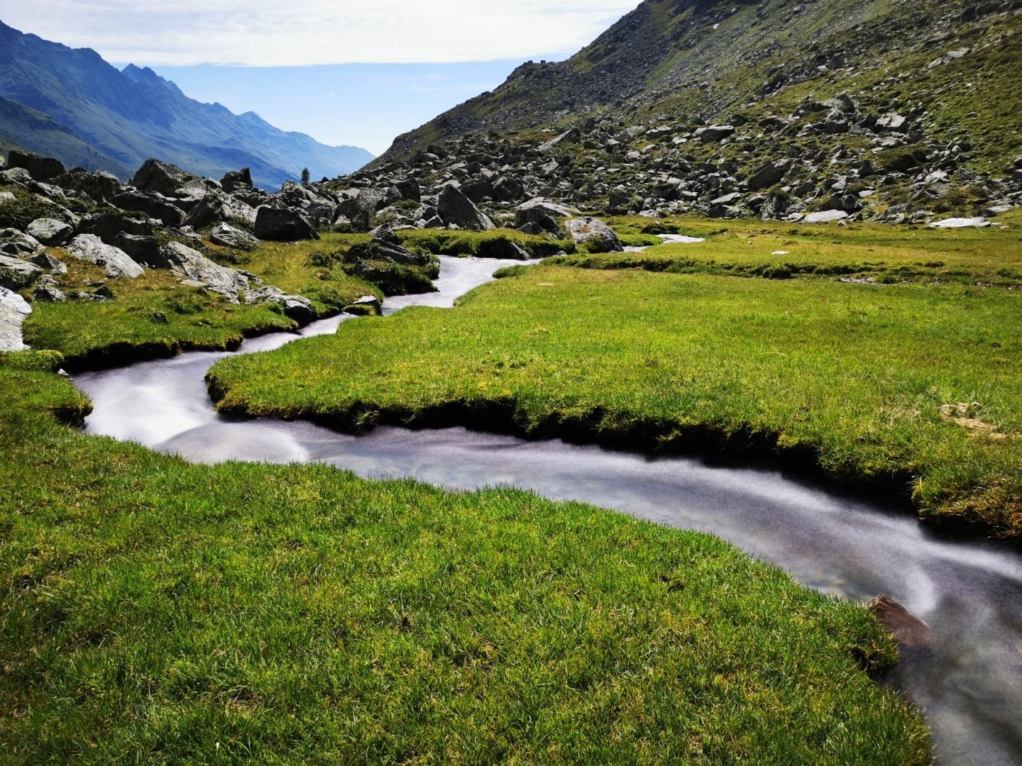
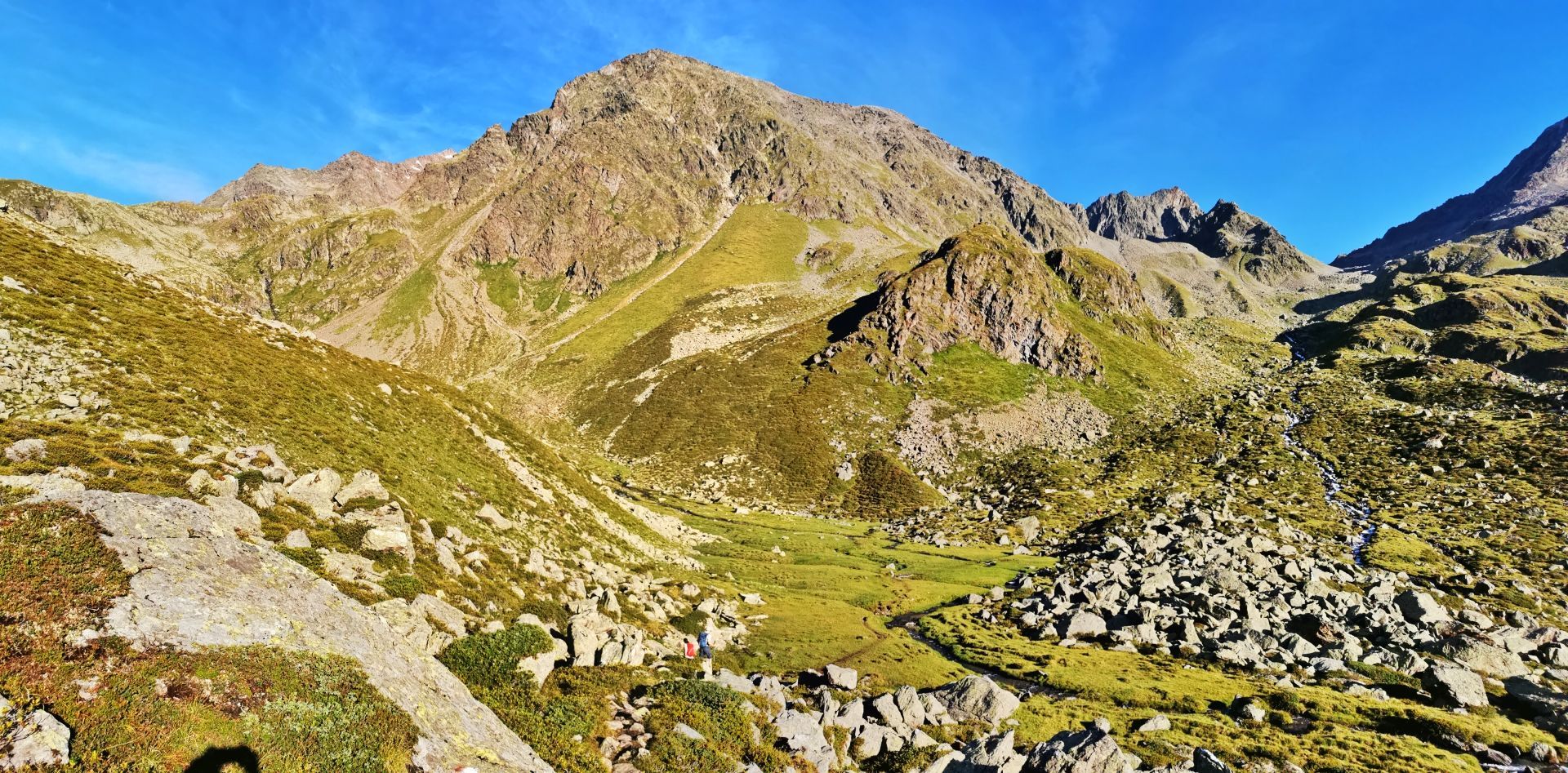
    Ausgangspunkt ist der Parkplatz Seichenbrunn im Debanttal. Von hier aus folgt man der Almstraße bzw. dem Naturlehrweg bis zur Lienzer Hütte. Anschließend geht es entlang des markierten Weges in Richtung Leibnitztörl. Später zweigt man in Richtung Kalser Törl ab (Hinweisschilder Glödis beachten). Auf einer Höhe von ca. 2.500 m nochmals rechts abzweigen und dann geht's hinauf bis zum Einstieg am SO-Grates auf ca. 2.970 m.

    Abstieg: Wie Zustieg


    Parkplatz Seichenbrunn

Weather

Today

light rain showers
20°C/13°C
85%8.2l5 km/h

Fri

light rain showers
21°C/12°C
65%5.6l5 km/h

Sat

mainly clear
23°C/11°C
25%0l5 km/h
Go to weather forecast

More tours in the surrounding area

  • Lake Schwarzsee

    Difficulty:medium
    Length:7.8 kmDuration:3:30 hElevation uphill:790 m
  • Rote Spitze 2,956 m

    Difficulty:medium
    Length:10.2 kmDuration:5:30 hElevation uphill:1,260 m
  • Rotenkogel

    Difficulty:difficult
    Length:3.9 kmDuration:3:00 hElevation uphill:383 m
  • Oberseitsee - Seespitze 3.021 m

    Difficulty:difficult
    Length:14.4 kmDuration:8:30 hElevation uphill:1,310 m
  • Umbal waterfalls nature force trail

    Difficulty:easy
    Length:6.0 kmDuration:2:30 hElevation uphill:257 m
  • Golzentipp 2.317 m

    Difficulty:easy
    Length:5.6 kmDuration:2:00 hElevation uphill:267 m
  • Glacier trail Innergschlöss/Schlatenkees

    Difficulty:medium
    Length:9.4 kmDuration:4:50 hElevation uphill:680 m
  • Hike to Jagdhausalm 2.009m

    Difficulty:easy
    Length:16.6 kmDuration:5:00 hElevation uphill:400 m
  • Toblacher Pfannhorn

    Difficulty:medium
    Length:9.8 kmDuration:4:30 hElevation uphill:1,020 m
  • Große Kinigat

    Difficulty:difficult
    Length:8.5 kmElevation uphill:1,250 m
  • Oberstalleralm

    Difficulty:easy
    Length:2.8 kmDuration:0:50 hElevation uphill:170 m
  • Dorfberg

    Difficulty:medium
    Length:17.6 kmDuration:5:30 hElevation uphill:770 m
  • Volkzeiner Hütte

    Difficulty:easy
    Length:13.4 kmDuration:3:30 hElevation uphill:370 m
  • Böses Weibl

    Difficulty:difficult
    Length:14.1 kmDuration:8:00 hElevation uphill:1,193 m
  • Circular walk church St. Nikolaus

    Difficulty:easy
    Length:5.4 kmDuration:1:39 hElevation uphill:150 m
  • Lasörling 3.098m

    Difficulty:difficult
    Length:22.0 kmDuration:12:00 hElevation uphill:1,940 m
  • Rollitour with Swiss Trac

    Difficulty:easy
    Length:3.2 kmDuration:1:30 hElevation uphill:135 m
Newsletter

The mountain is calling? So does our newsletter!

In our monthly newsletter we reveal the best holiday tips for Tyrol.
