
Opening hours:Open today
Place:Kartitsch
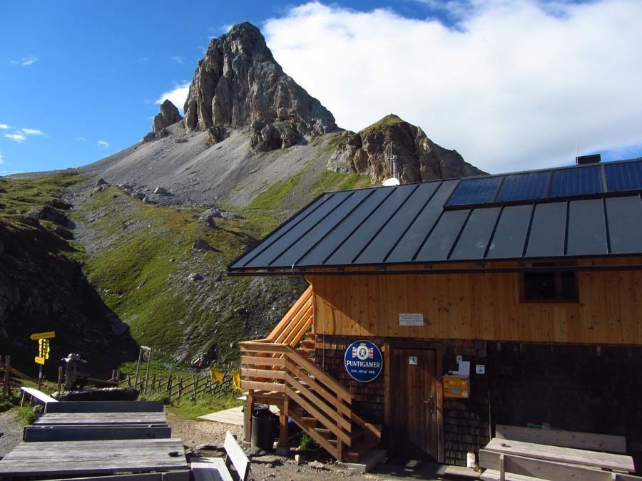
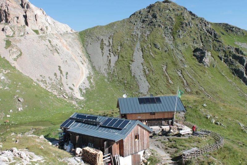
:Alpine pasture / hut / mountain restaurant
The Leitertal may not live up to its promise, but that's not so bad in this case. After all, the path along the Leitertalbach stream or the trail to the Stuckenseen lakes are much nicer than the ladders.
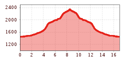
Medium-difficulty hike through the Leitertal valley and across the Stuckenseen lakes to the Filmoor-Stnadschützenhütte hut. Quite well frequented from the Carnic high trail onwards, before that a rather lonely tour.
Mit dem Bus bis zur Halstestelle "Obertilliach Leiten"


.jpg")
.jpg")


.jpg")


