
Opening hours:Open today
Place:St. Johann in Tirol
:Alpine pasture / hut / mountain restaurant
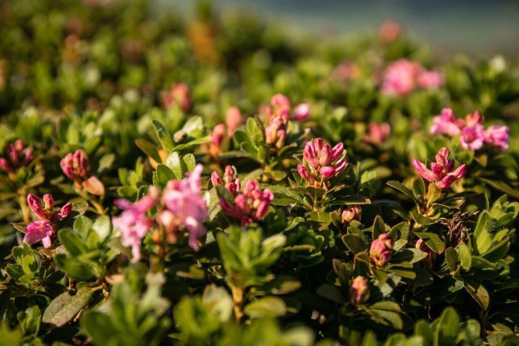
Around and over perhaps the most beautiful panoramic mountain in the Kitzbühel Alps, lined with alpine roses and other types of flowers.
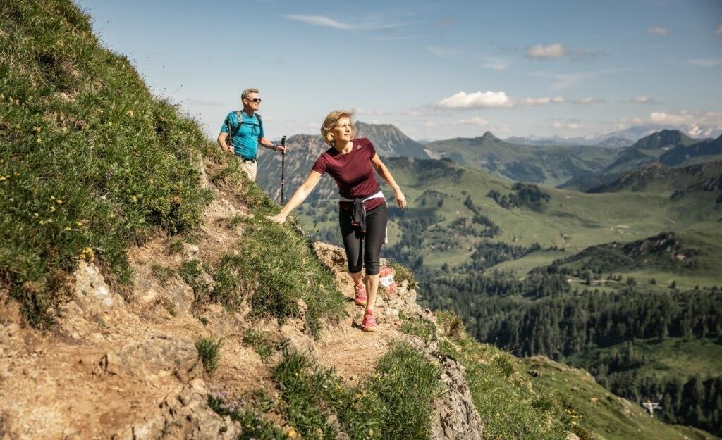
Take the St. Johann in Tirol cable car to the Harschbichl mountain station. The Horn summit trail, probably the most beautiful mountain tour on the Kitzbüheler Horn, starts there. You are accompanied throughout by an impressive panorama, from which, in good weather, the Wilder Kaiser, Großglockner and Großvenediger stand out in particular. The round tour on the Kitzbüheler Horn leads around and up to the summit in good, but sometimes steep, exposed and rope-insured passages. For this reason, surefootedness and a basic head for heights are important. The ascent via the Ludwig-Scheiber-Steig leads over steep grassy flanks, well secured at the narrowest section and through a short rock tunnel up to the summit. Along the way, you should take a short detour to the Schützenkreuz cross, and the Hornkapelle chapel is also a wonderful photo opportunity. On the no less impressive descent via the eastern ridge to Hoferschneid and via the Jägersteig trail, another scenic rest area awaits at the Adlerhorst.


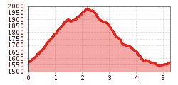
This hike starts at the Harschbichl top terminal. The gravel road first descends a short
distance and then switchbacks through steep meadows before turning into a narrow
trail. At its narrowest point the Ludwig-Scheiber-Steig trail is secured with a steel
cable. Take time to enjoy the superb views of the Kaiser mountain range! After crossing
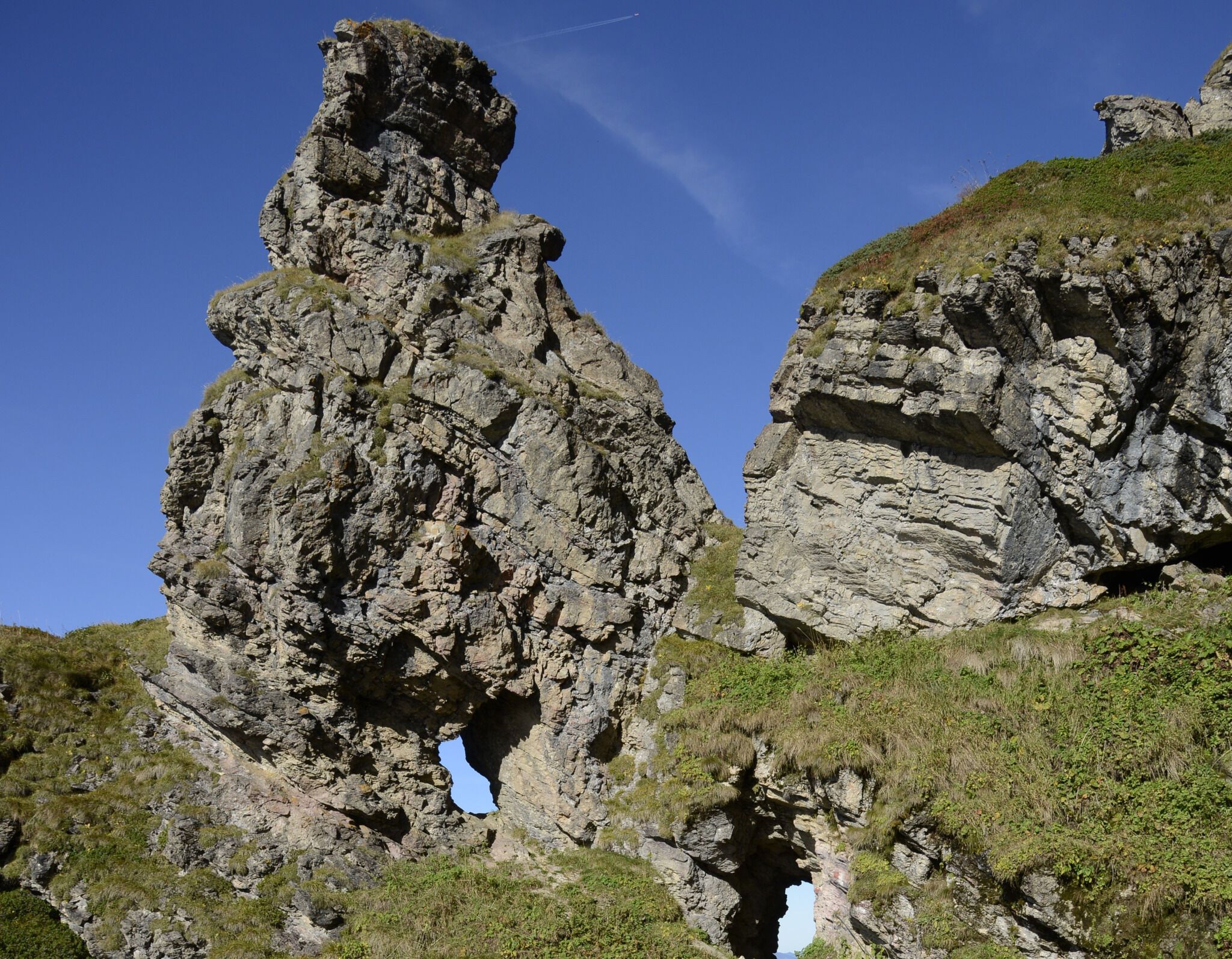
through a spectacular rock gate, the trail follows an asphalt road for a few meters
before continuing through alpine pastures and past a chapel to the peak of Kitzbüheler
Horn. From the top the trail heads down along a narrow ridge toward “Hoferschneid”.
The views of the surrounding mountains are magnificent but the trail is steep and it is
important to watch your steps. At Hoferschneid pick up the “Jägersteig” trail back to the
Harschbichl top terminal. You can either walk down or take the cable car back to the valley.
TIP! Don’t miss out on the beautiful Alpine Flower Garden between Gipfelhaus
and Alpenhaus.
Bustop / Trainstation: St. Johann i.T. Bahnhof (ca. 1 km from gondola Harschbichlbahn)
Or you can take the convenient and free Okto hiking bus from Monday to Friday in the summer months.
Bus and traintimes:
kitzalps.cc/mobile
Parking lot Bergbahnen St. Johann in Tirol (Hornweg 21, you will have to pay a parking fee)


.jpg")


.jpg")

