Mountain hikes Verpeilschlucht

open
Kaunertal / Ötztal Alps
Difficulty ratings: medium
Route length: 4.9 km
Duration: 3:00 h

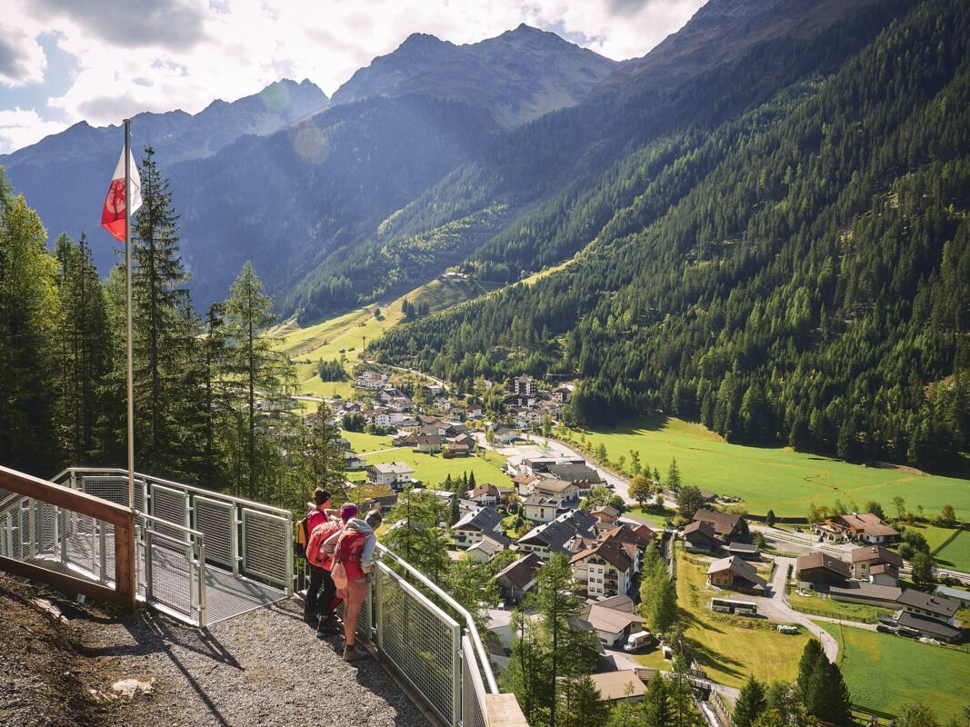
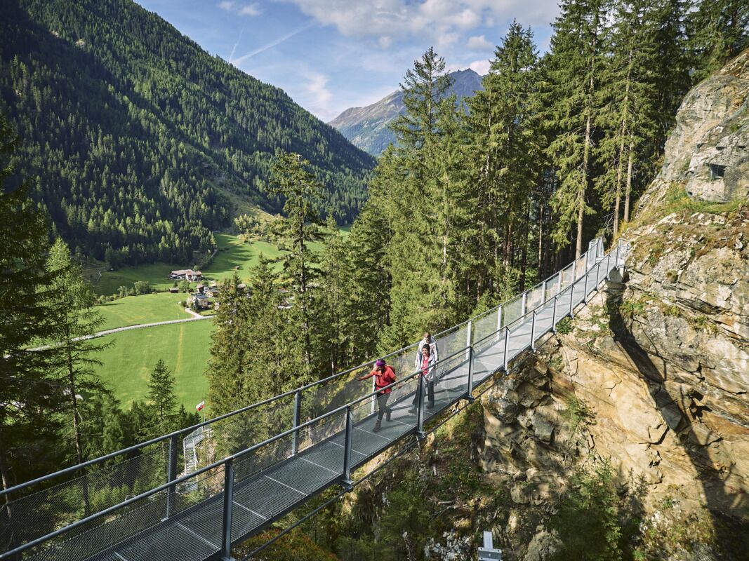
Lots of nature and pure adventure: the Kaunertal adventure circuit leads to thundering waterfalls, through romantic gorges, over a suspension bridge and even through tunnels into the interior of the mountain.

Tour character

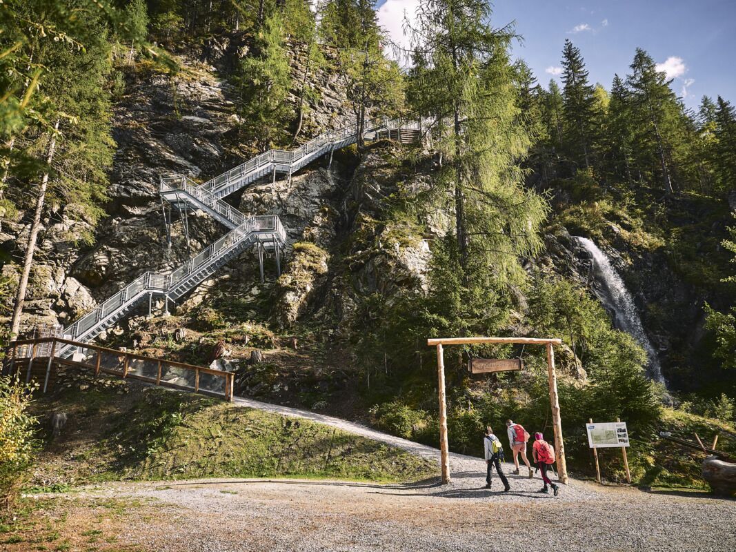
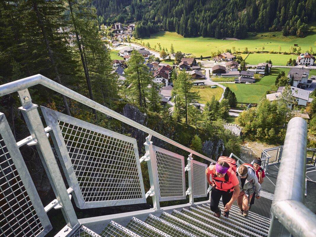
You should be sure-footed on this exciting five-kilometre family hike at the foot of the Kaunergrat ridge, as the fascinating path along the Verpeil Gorge alone leads over numerous steps, narrow paths and a suspension bridge. However, all paths and climbs are safe and easy to walk on. The starting and finishing point of the circular hike is the Quellalpin (bus stop) in the village center of Feichten.
Tour information

  • Requirement: medium
  • Length: 4.9 km
  • Duration: 3:00 h
  • Elevation uphill:386 hm
  • Elevation downhill:7 hm
Highest point1,672 m

Starting point

Quellalpin
  • Fitness level 3 / 6
  • Technique 3 / 6

Features

  • Circular route
  • Suitable for families

Best time of year

  • January
  • February
  • March
  • April
  • May
  • June
  • July
  • August
  • September
  • October
  • November
  • December

Trail condition

Steig, Stahltreppen

Equipment

Entsprechendes Schuhwerk
Source: TVB Tiroler Oberland

Nearby huts and mountain restaurants

Weather

Today

light rain showers
10°C/5°C
80%0.7l5 km/h

Wed

partly Cloudy
12°C/4°C
35%0.8l5 km/h

Thu

light rain showers
10°C/5°C
85%10.3l5 km/h
Go to weather forecast

More tours in the surrounding area

  • Rolli-Wanderung Falkaunsalm

    Difficulty:medium
    Length:4.5 kmDuration:1:45 hElevation uphill:392 m
  • Rolli-Wanderung Gepatschhaus

    Length:8.5 kmDuration:1:45 hElevation uphill:156 m
  • Rolli-Wanderung Nassereinalm

    Difficulty:medium
    Length:5.5 kmDuration:1:45 hElevation uphill:269 m
  • Rolli-Wanderung Aifner Alm

    Difficulty:medium
    Length:6.0 kmDuration:2:30 hElevation uphill:460 m
  • Kaunerberger Wasserweg

    Opening hours:open
    Difficulty:medium
    Length:15.2 kmDuration:6:00 hElevation uphill:935 m
  • Talwanderweg Kaunertal

    Difficulty:easy
    Duration:2:30 hElevation uphill:295 m
  • Großer Mutzkopf

    Opening hours:closed
    Difficulty:easy
    Length:10.3 kmDuration:4:00 hElevation uphill:507 m
  • Sternenweg im Gepatsch

    Difficulty:medium
    Length:4.0 kmDuration:1:30 hElevation uphill:202 m
  • Rundwanderung Frudiger

    Difficulty:medium
    Length:13.5 kmDuration:4:55 hElevation uphill:588 m
  • Kapelle Maria Schnee

    Difficulty:easy
    Length:1.7 kmDuration:0:30 hElevation uphill:90 m
  • Radurschlklamm Gorge

    Opening hours:closed
    Difficulty:medium
    Length:7.5 kmDuration:3:20 hElevation uphill:442 m
  • Gletscherlehrpfad Gepatschferner

    Difficulty:medium
    Length:12.0 kmDuration:5:00 hElevation uphill:407 m
  • Hohe Aifnerspitze (2.779 m)

    Difficulty:medium
    Length:7.2 kmDuration:5:15 hElevation uphill:815 m
  • Ötztal Trek Stage 15

    Difficulty:difficult
    Length:6.5 kmDuration:2:30 hElevation uphill:332 m
Newsletter

The mountain is calling? So does our newsletter!

In our monthly newsletter we reveal the best holiday tips for Tyrol.