Themed hikes Kaunerberger Wasserweg

closed
Kaunerberg / Ötztal Alps
Difficulty ratings: medium
Route length: 15.2 km
Duration: 6:00 h

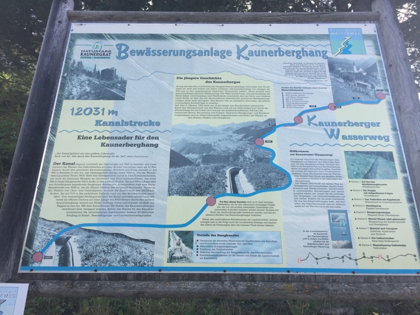
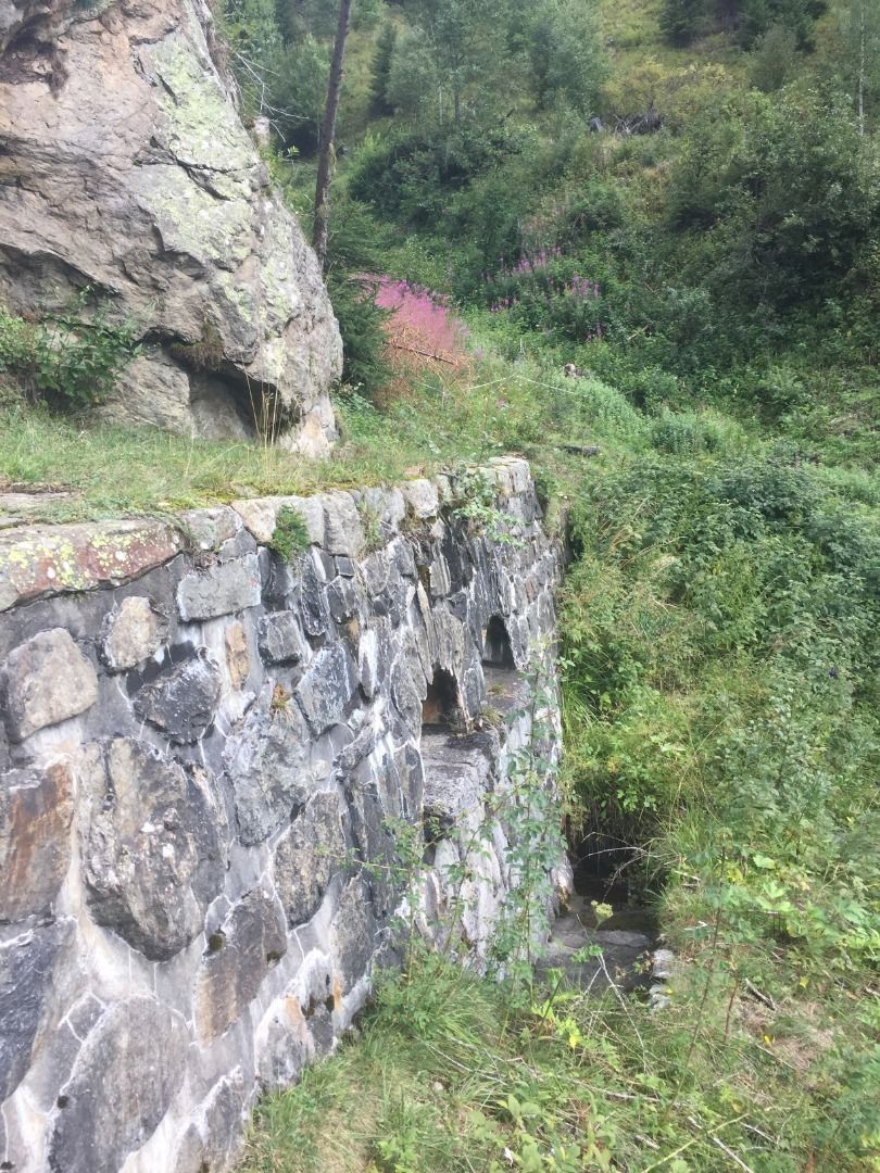
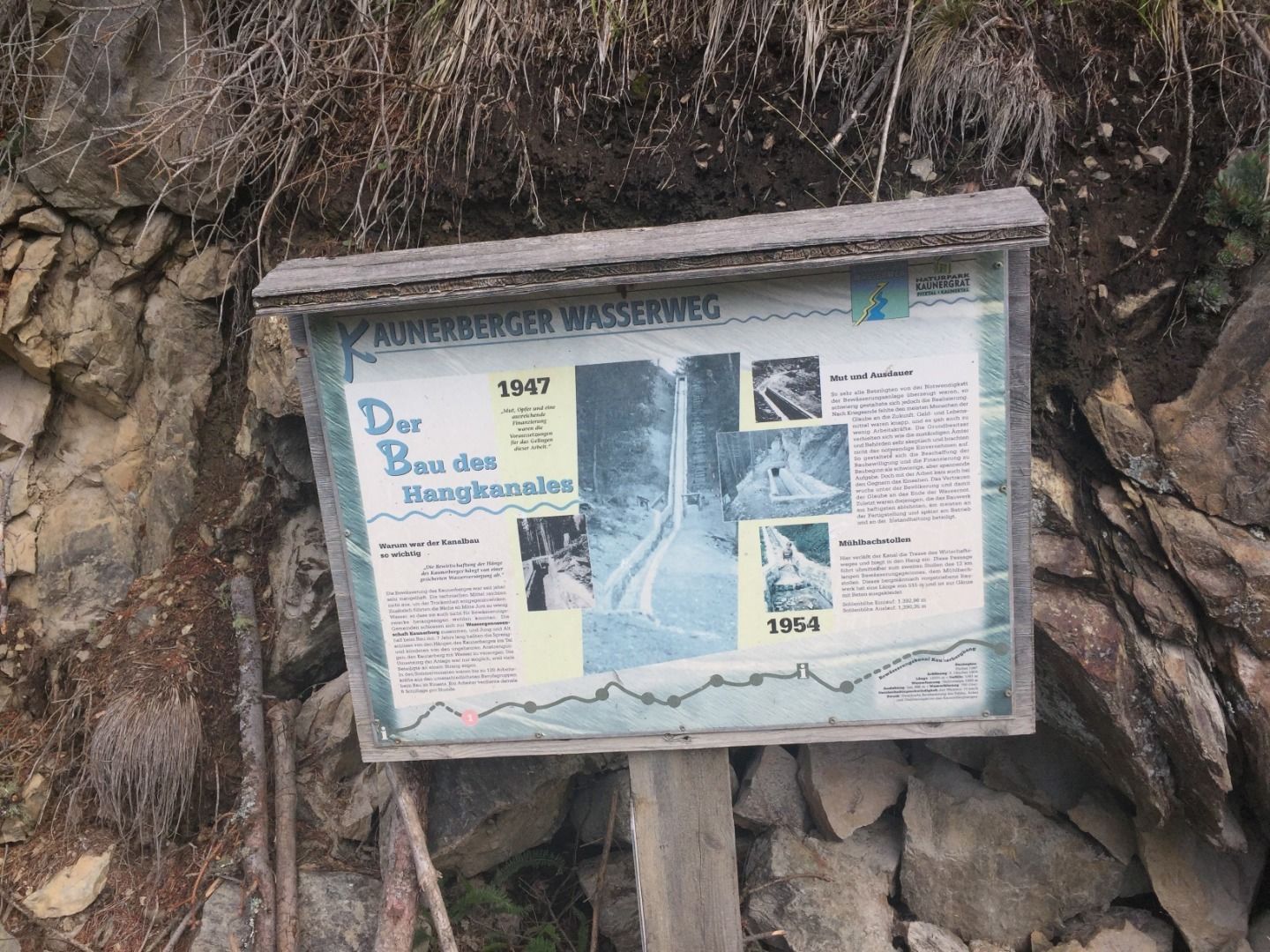
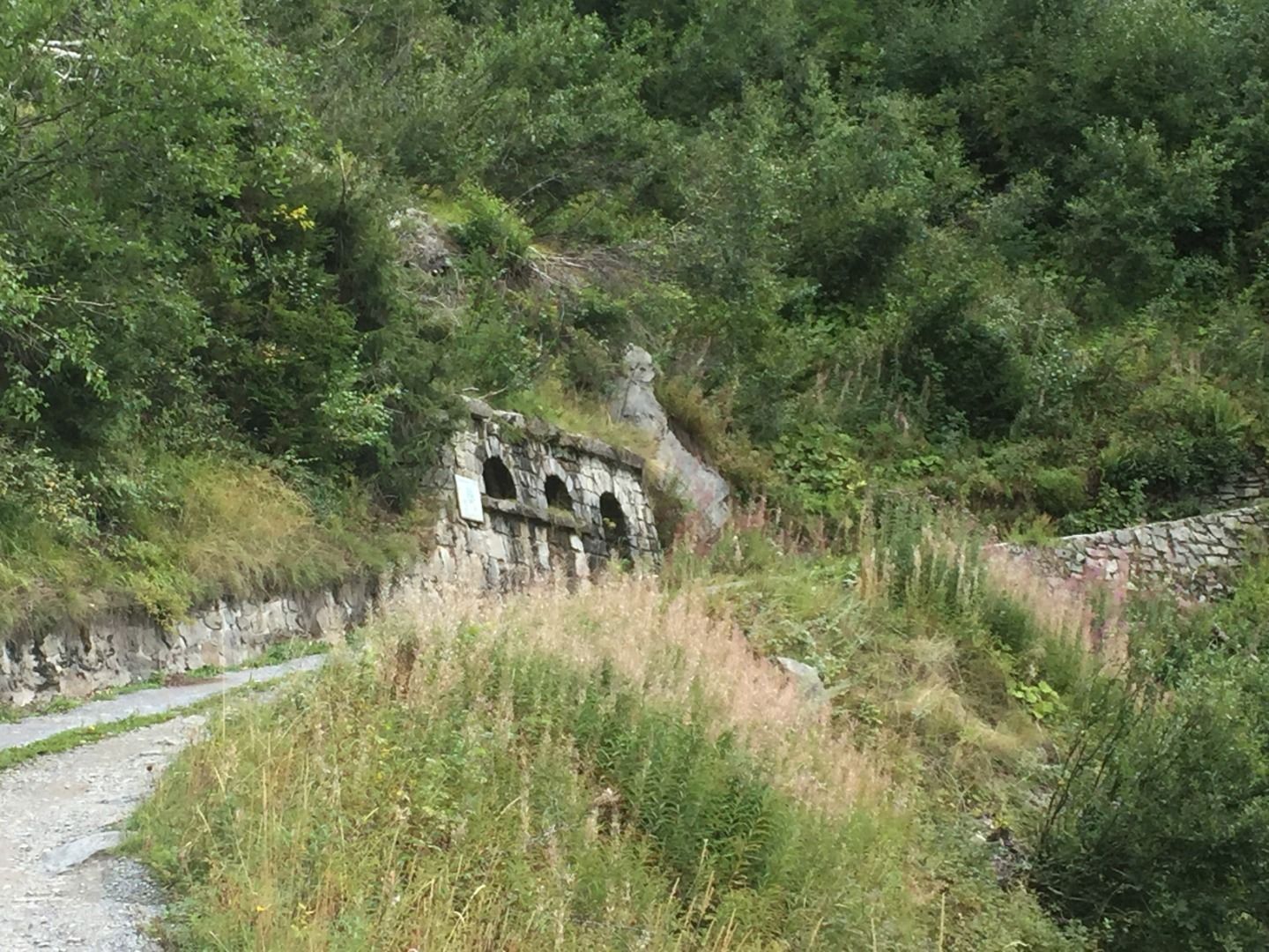
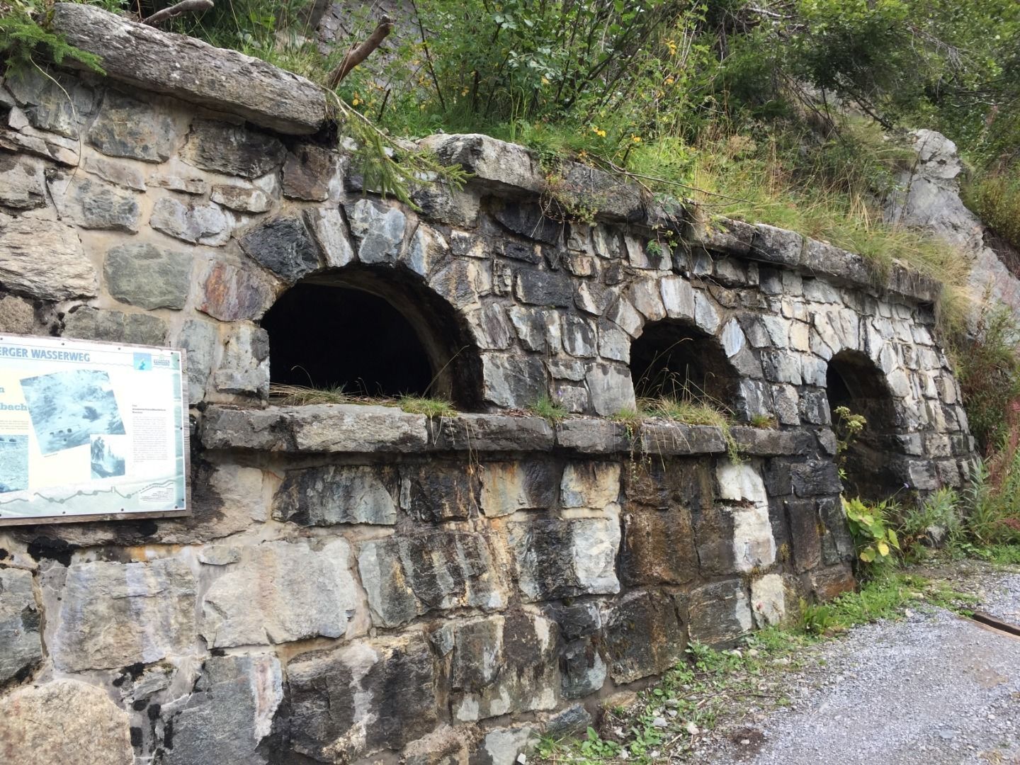
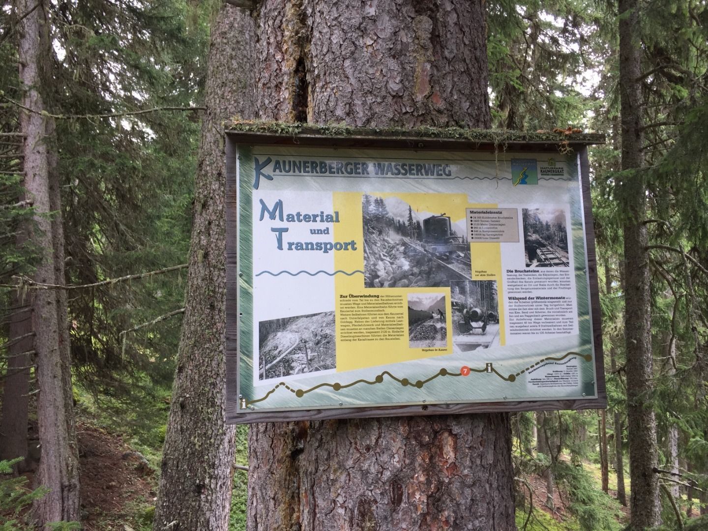
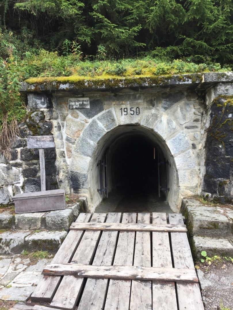
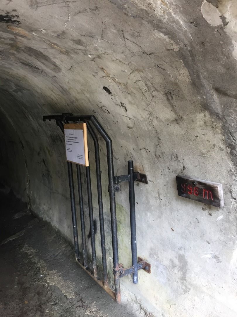
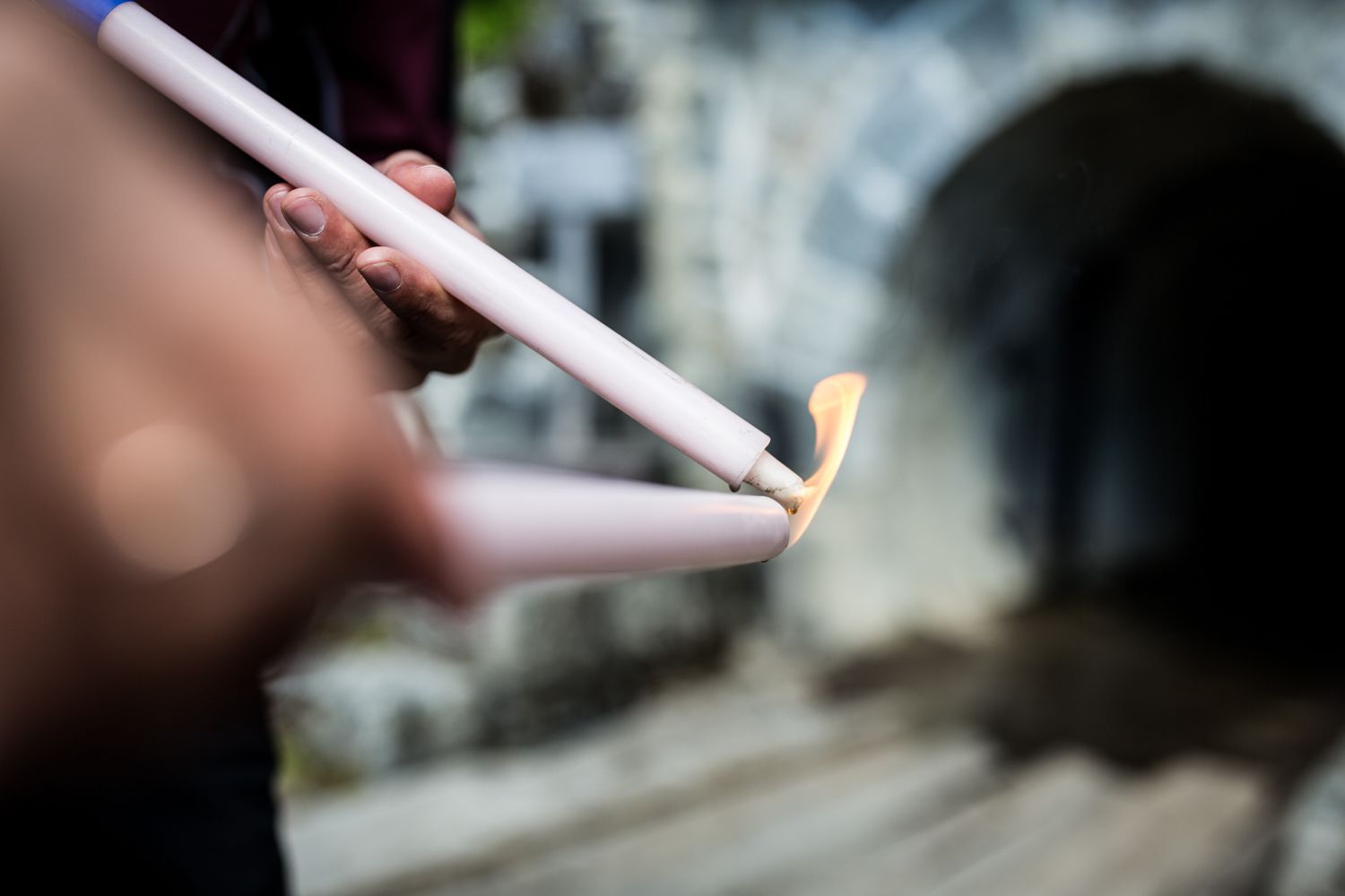
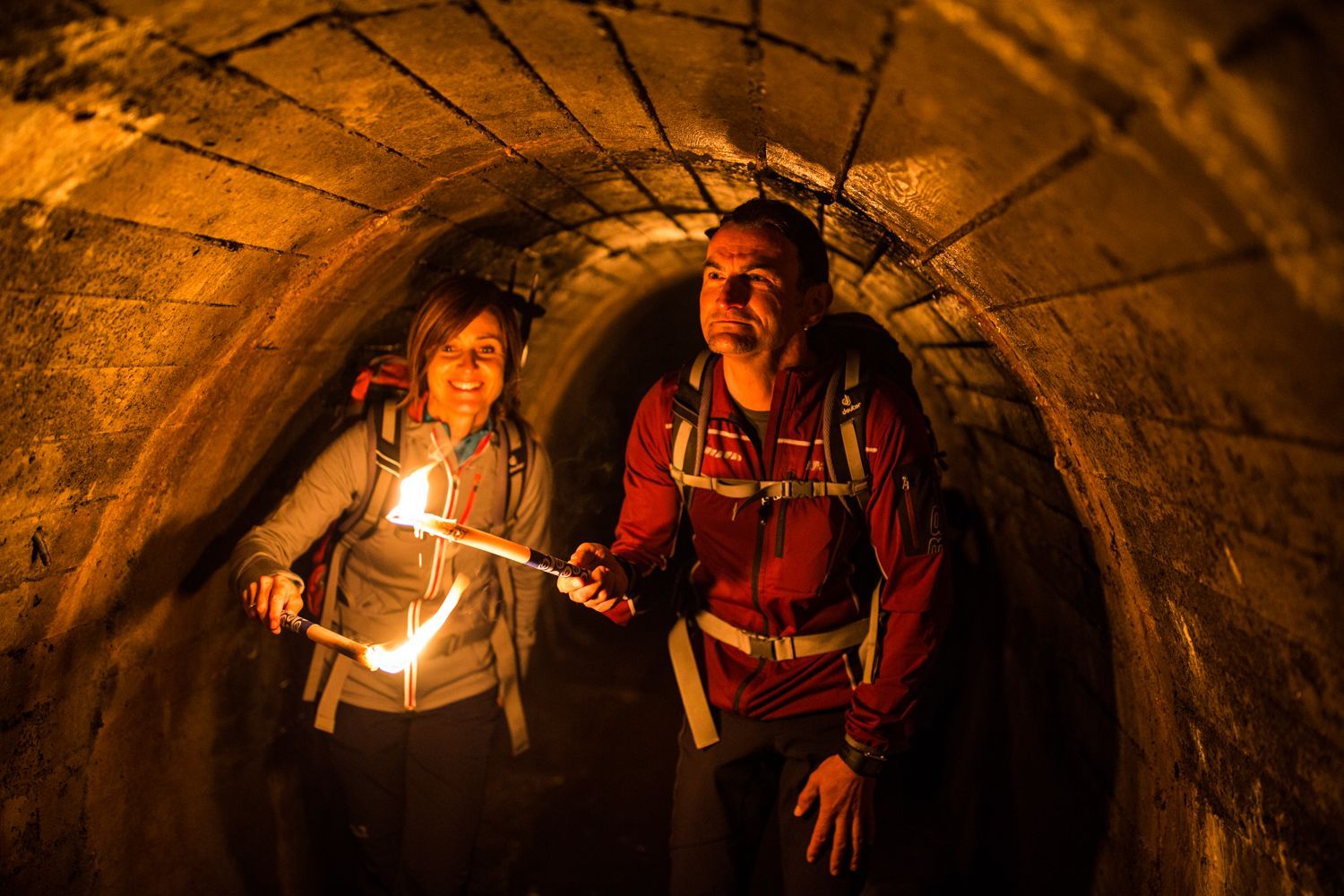
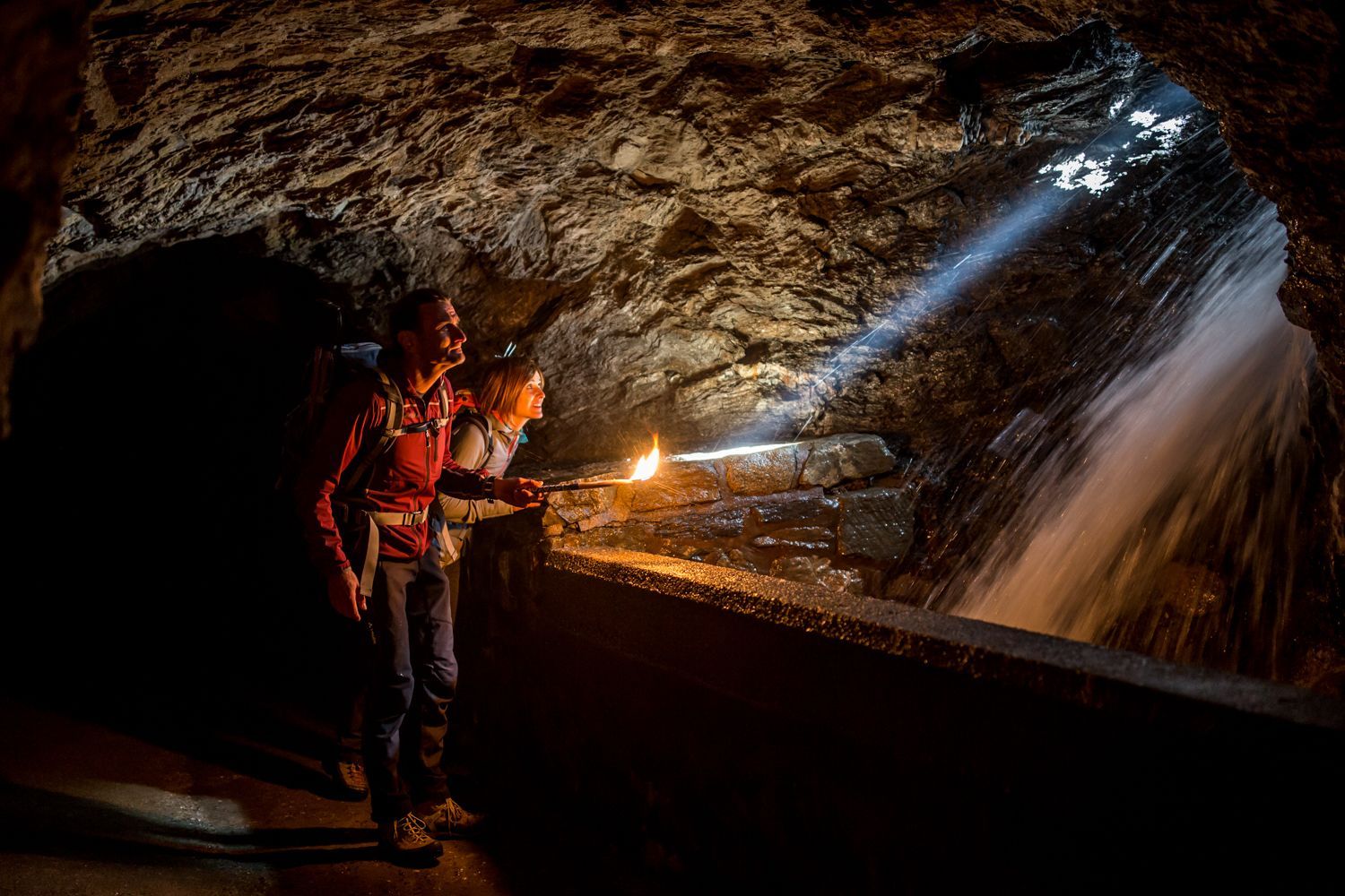
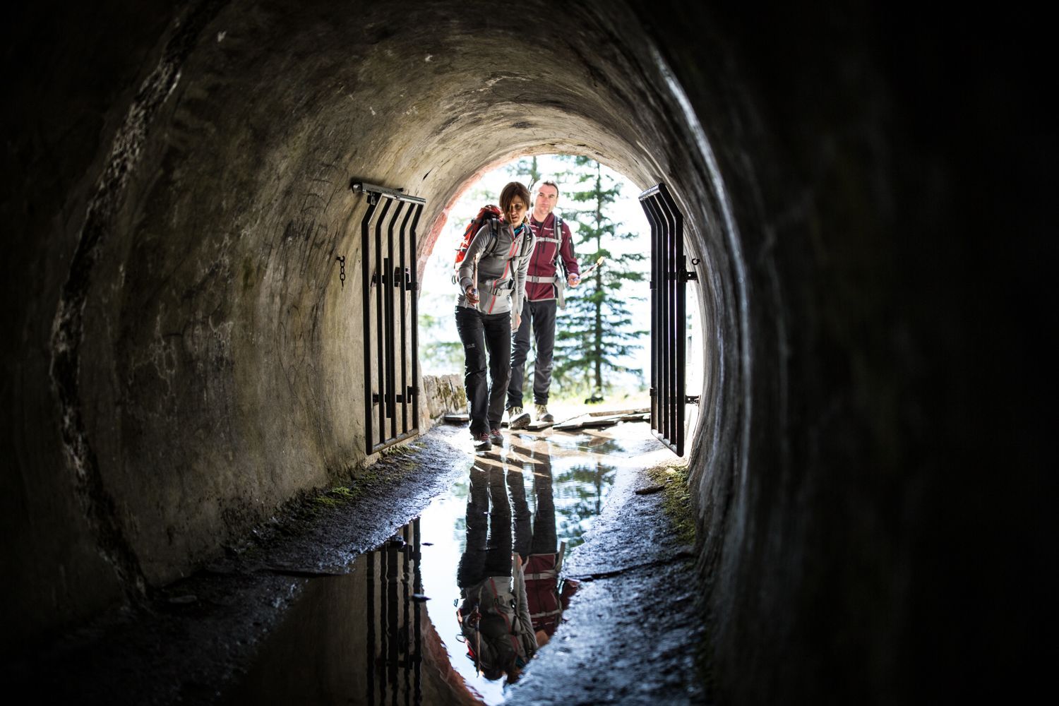
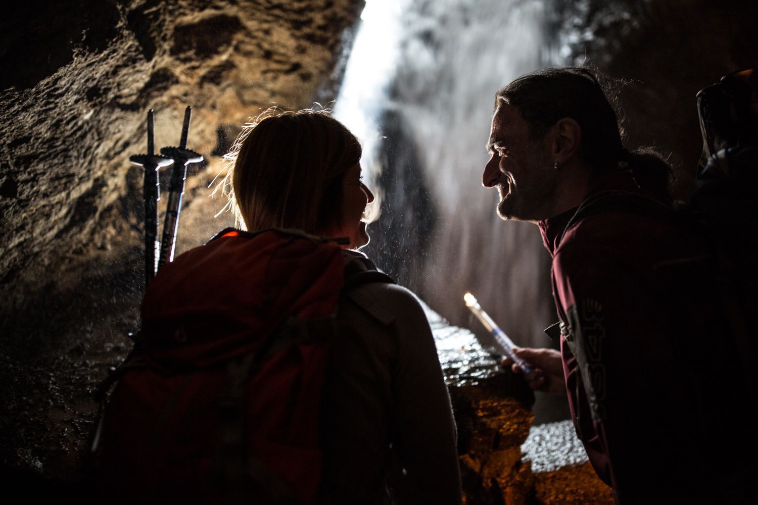
The Kaunerberger Sonnenhang is one of the driest and sunniest places in Tyrol - good omens for a hike in the autumn sun. A few surprises await along the way - the biggest ones: The slope channel for irrigating the Kaunerberg and the Gallruth tunnel. Don't forget your flashlight!

Tour character

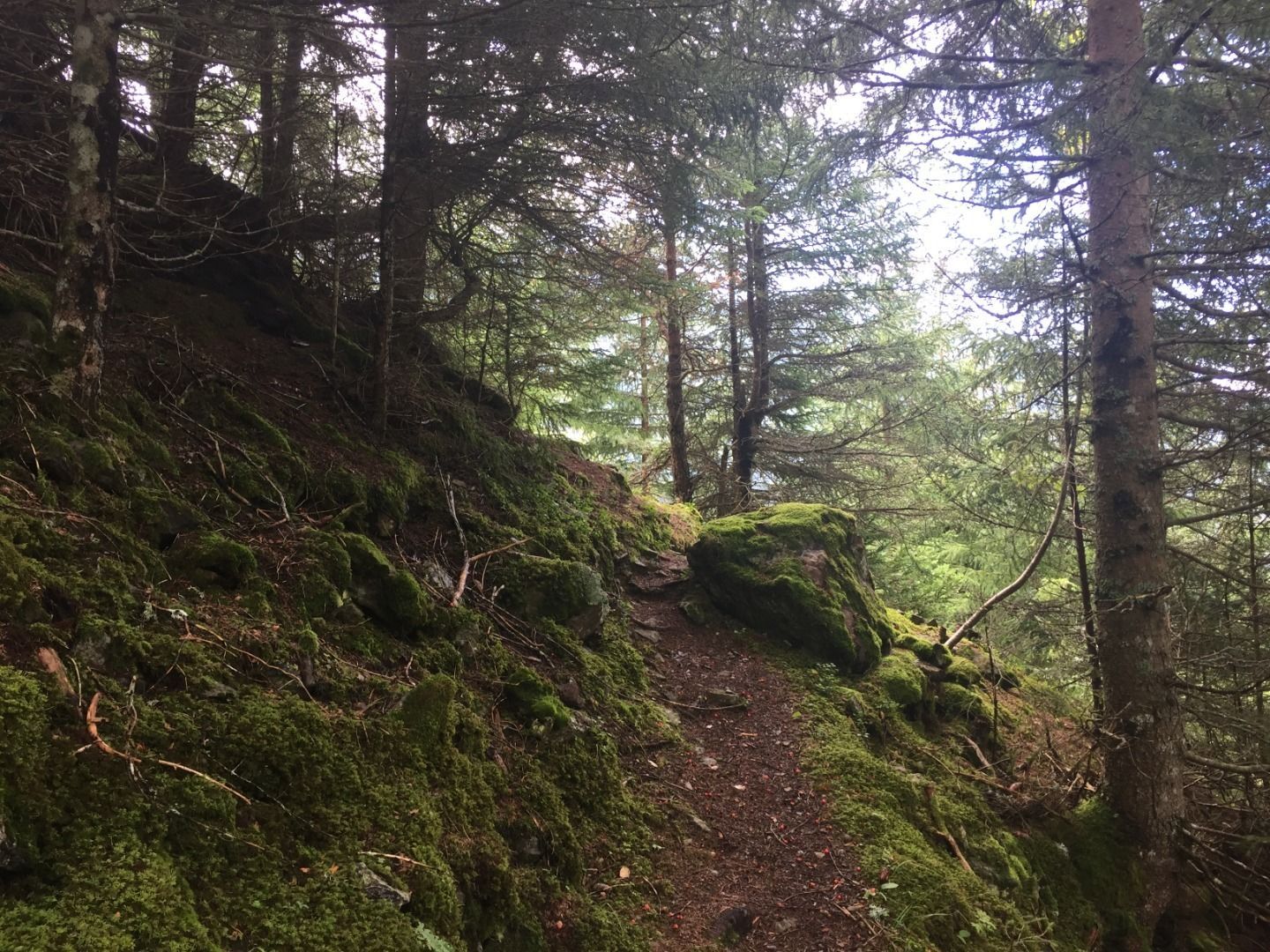
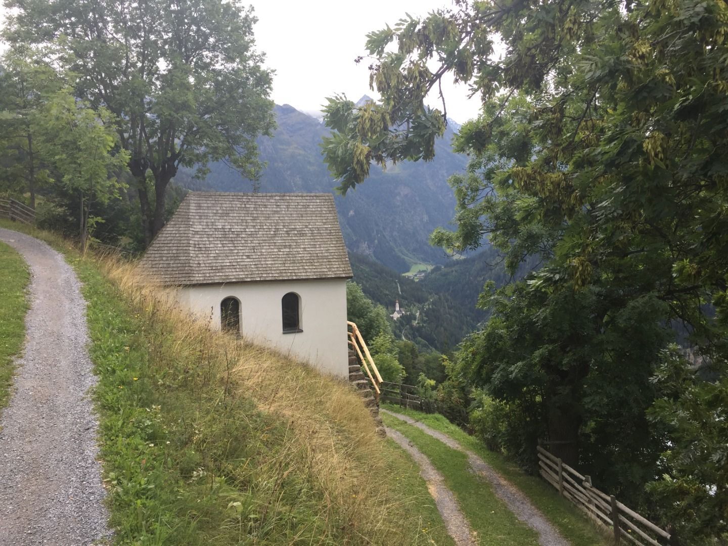
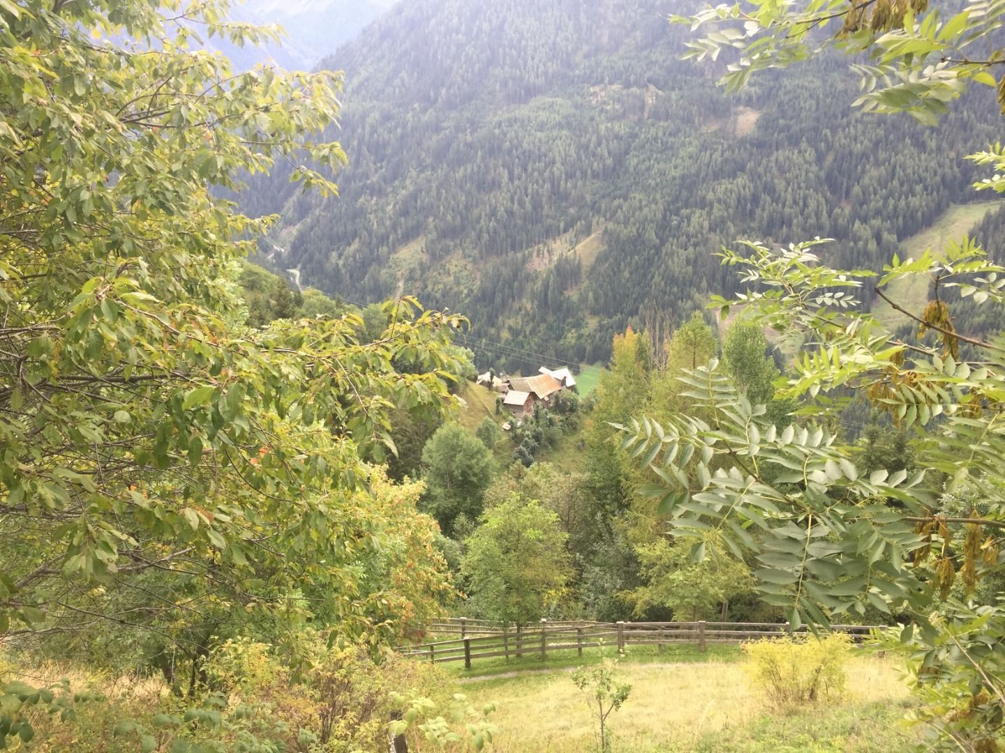
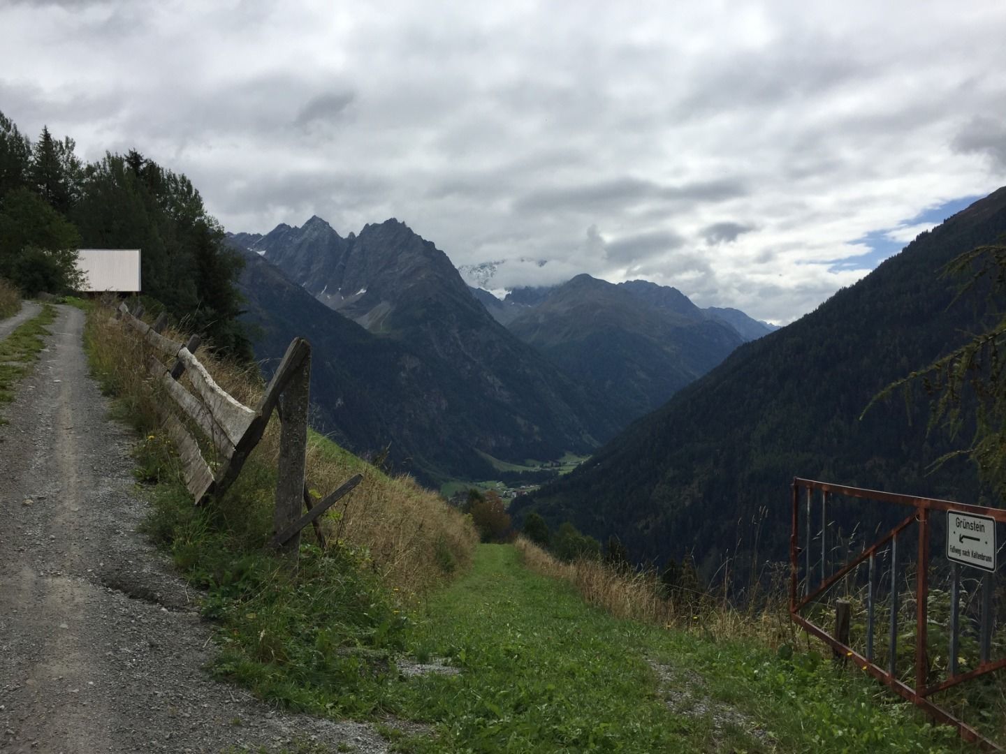
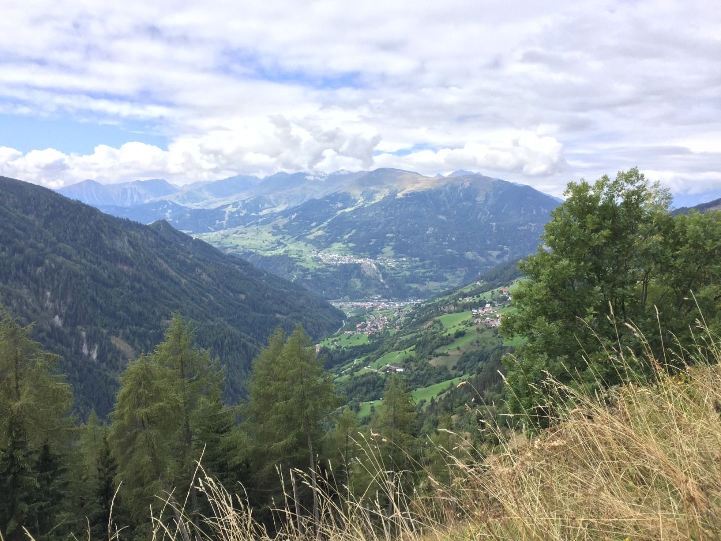
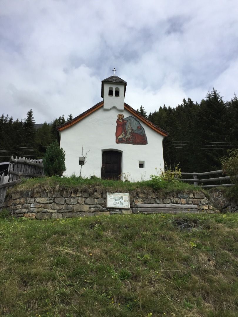
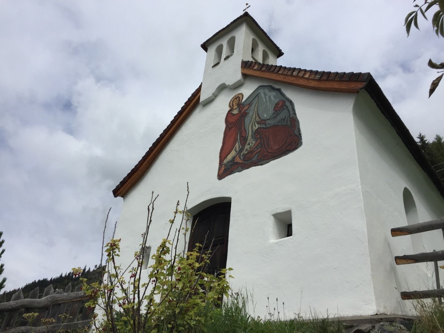
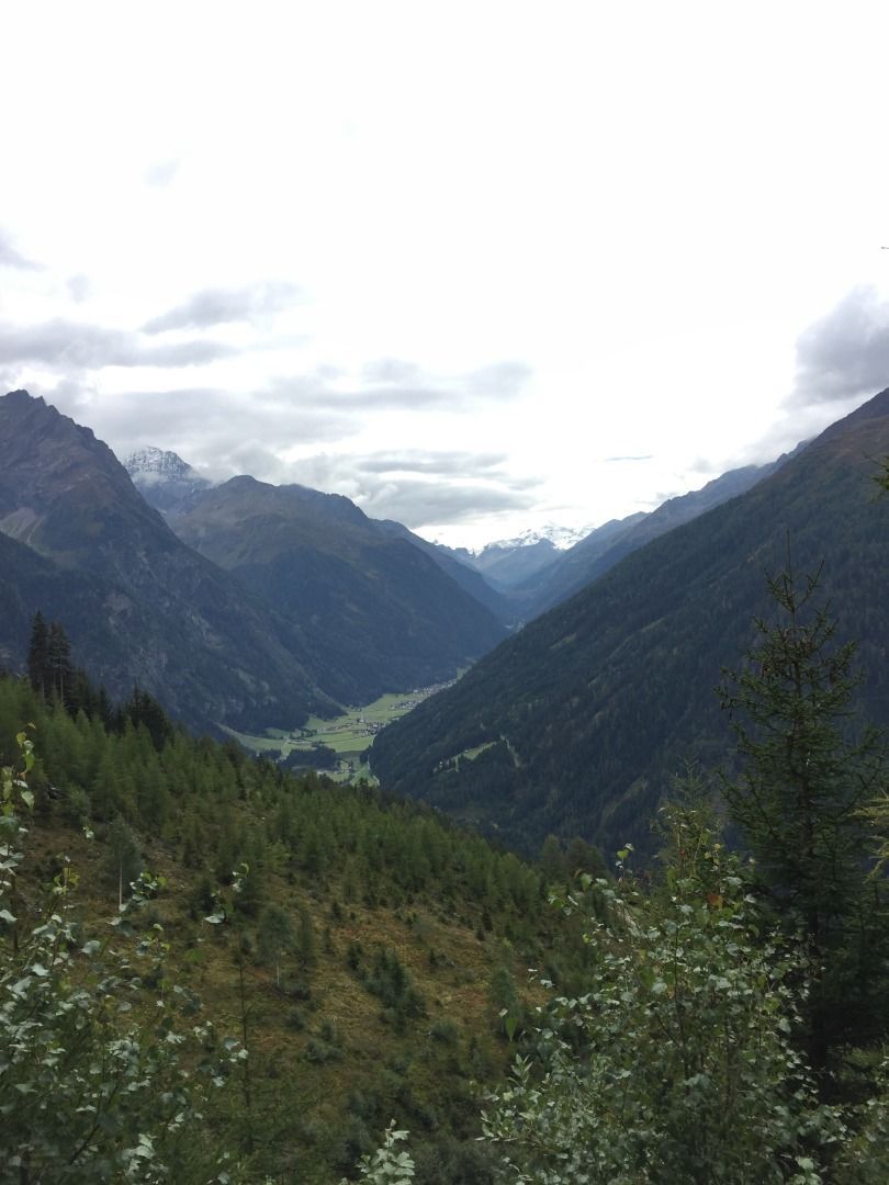
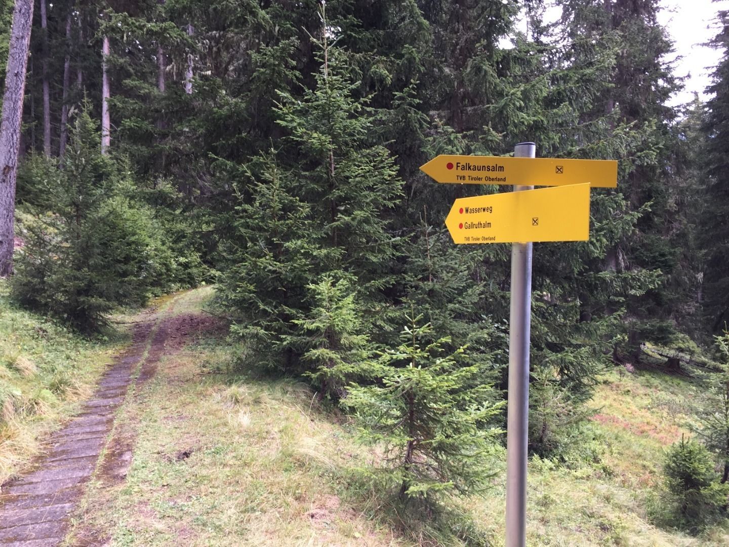
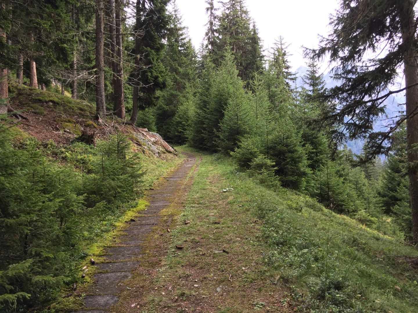
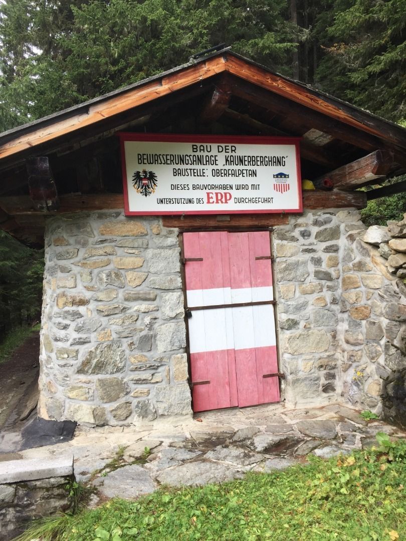
Varied hike on the sunny side of the Kaunerberg. Easy to walk throughout. Past farms, chapels across meadows and through forests, the hike captivates with impressive views of the Kaunergrat. But there is also plenty to see along the way, as the route runs for a long time as a "waterway" along the historic slope canal used to irrigate the Kaunerberg. Even today, it still babbles lively. A highlight for many is the ascent of the Gallruth tunnel, which is part of the irrigation system, so bring a headlamp or flashlight. At the end of the hike, you can stop off at the Gallruthalm until mid-September.
Tour information

  • Requirement: medium
  • Length: 15.2 km
  • Duration: 6:00 h
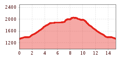
  • Elevation uphill:935 hm
  • Elevation downhill:935 hm
Highest point1,980 m

Starting point

Gemeindeamt Kaunerberg

Finishing point

Gallruth
  • Fitness level 3 / 6
  • Technique 3 / 6

Features

  • Suitable for families

Best time of year

  • January
  • February
  • March
  • April
  • May
  • June
  • July
  • August
  • September
  • October
  • November
  • December

Trail condition

"Steig, Forstweg teilweise asphaltierte Gemeindestraße"

Equipment

Stirnlampe nicht vergessen!
Source: TVB Tiroler Oberland

Weather

Today

Thunderstorm
17°C/8°C
90%21.2l5 km/h

Thu

light rain
14°C/7°C
35%3.6l5 km/h

Fri

cloudy
16°C/8°C
30%0.7l5 km/h
Go to weather forecast

More tours in the surrounding area

  • Großer Mutzkopf

    Opening hours:closed
    Difficulty:easy
    Length:10.3 kmDuration:4:00 hElevation uphill:507 m
  • Talwanderweg Kaunertal

    Difficulty:easy
    Duration:2:30 hElevation uphill:295 m
  • Rolli-Wanderung Aifner Alm

    Difficulty:medium
    Length:6.0 kmDuration:2:30 hElevation uphill:460 m
  • Rolli-Wanderung Nassereinalm

    Difficulty:medium
    Length:5.5 kmDuration:1:45 hElevation uphill:269 m
  • Rolli-Wanderung Gepatschhaus

    Length:8.5 kmDuration:1:45 hElevation uphill:156 m
  • Rolli-Wanderung Falkaunsalm

    Difficulty:medium
    Length:4.5 kmDuration:1:45 hElevation uphill:392 m
  • Hohe Aifnerspitze (2.779 m)

    Difficulty:medium
    Length:7.2 kmDuration:5:15 hElevation uphill:815 m
  • Kapelle Maria Schnee

    Difficulty:easy
    Length:1.7 kmDuration:0:30 hElevation uphill:90 m
  • Gletscherlehrpfad Gepatschferner

    Difficulty:medium
    Length:8.4 kmDuration:3:45 hElevation uphill:400 m
  • Radurschlklamm Gorge

    Opening hours:open
    Difficulty:medium
    Length:7.5 kmDuration:3:20 hElevation uphill:442 m
  • Rundwanderung Frudiger

    Difficulty:medium
    Length:13.5 kmDuration:4:55 hElevation uphill:588 m
  • Verpeilschlucht

    Opening hours:open
    Difficulty:medium
    Duration:3:00 hElevation uphill:386 m
  • Ötztal Trek Stage 15

    Difficulty:difficult
    Length:6.5 kmDuration:2:30 hElevation uphill:332 m
Newsletter

The mountain is calling? So does our newsletter!

In our monthly newsletter we reveal the best holiday tips for Tyrol.