Talwanderweg Kaunertal

Kaunertal / Ötztal Alps
Difficulty ratings: easy
Duration: 2:30 h

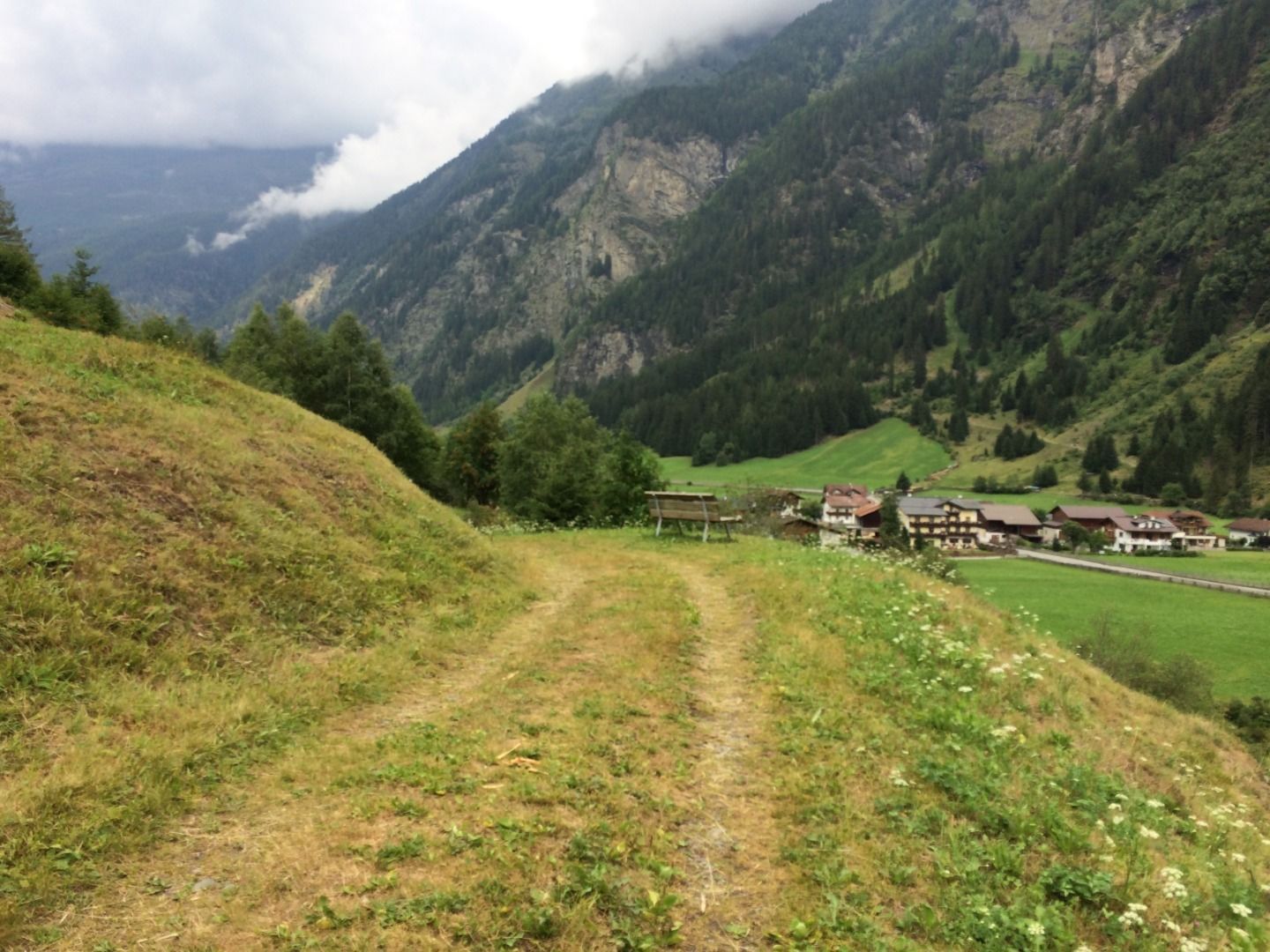
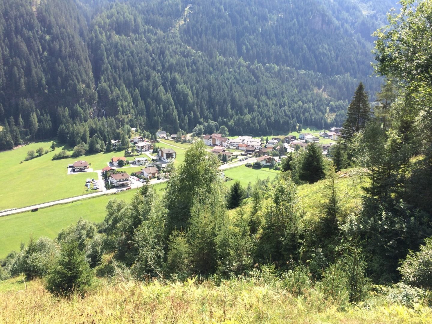
"Auf der Ögg", i.e. up on the corner, are the listed farms, which are located on a viewing terrace high above Feichten. The path to the Moarhofer waterfall completes this beautiful circular hike.

Tour character

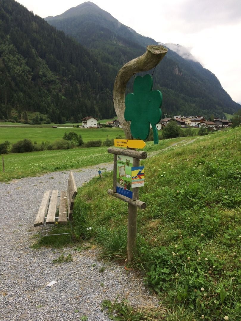
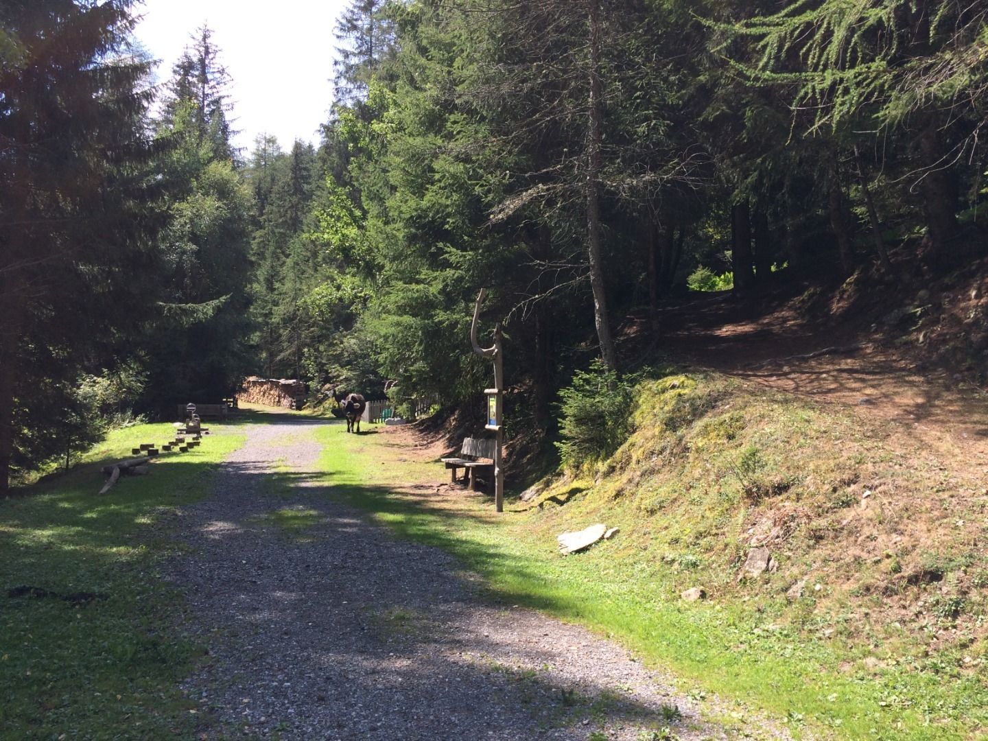
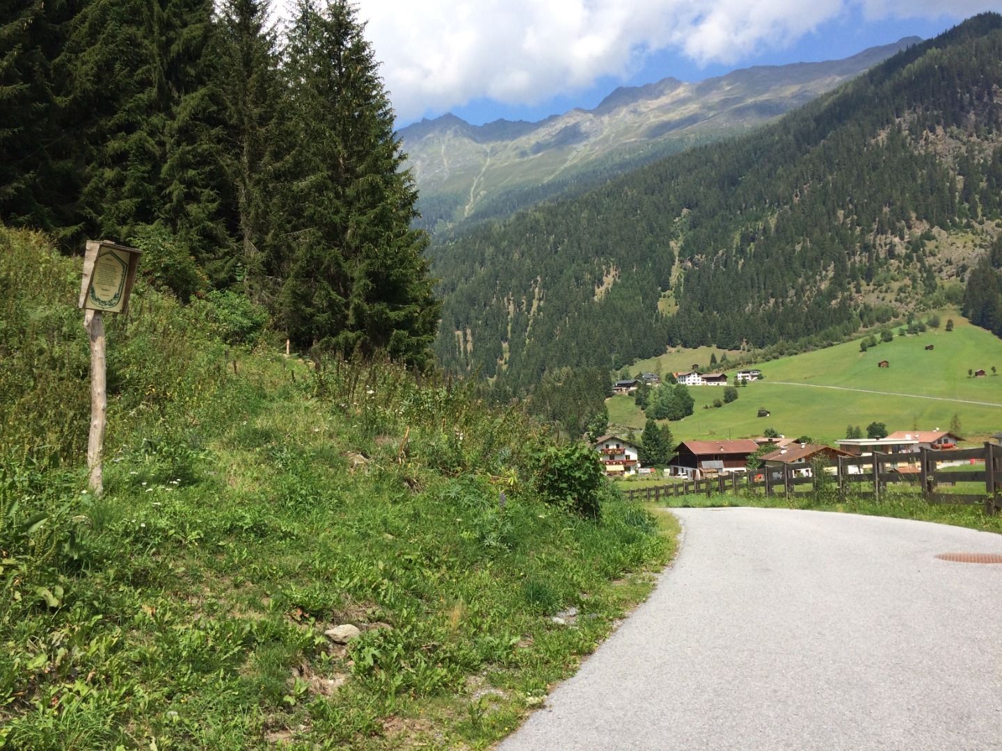
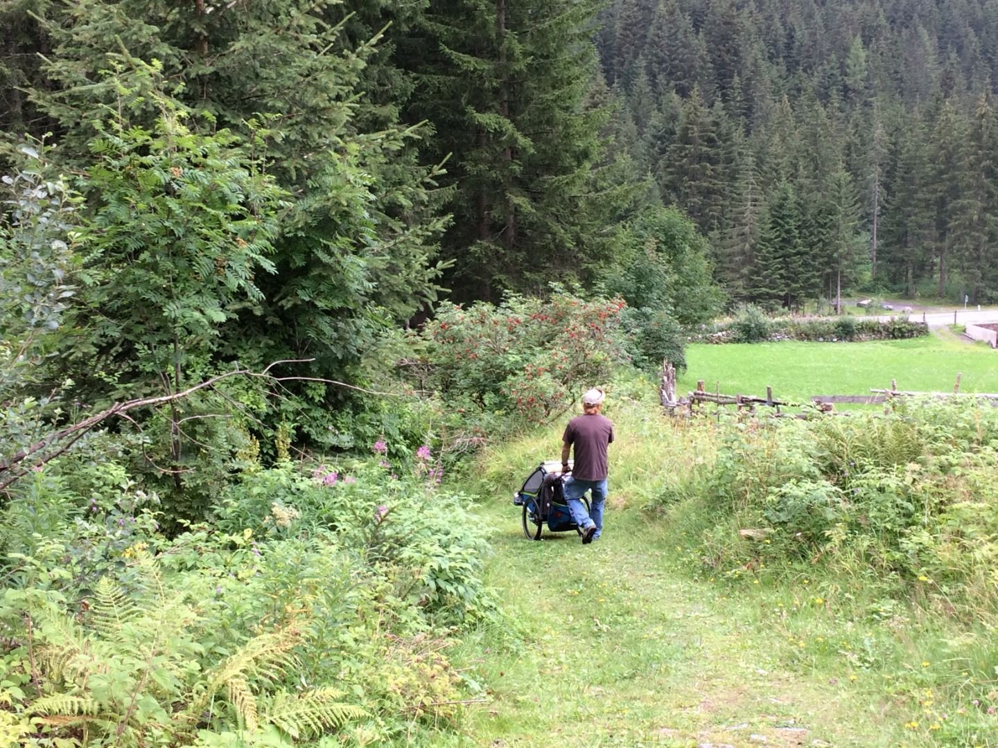
In the high-altitude, mountainous Kaunertal, the valley hikes also lead to panoramic heights. The hike from Feichten (1,287 m) up to the Ögghöfe farms (1,444 m) is an easy walk along the gravel farm access road. The rest of the way to Wasserfallblick leads along forest paths and trails. At just over five kilometers in length, this tranquil loop is a moderate hike that takes around two hours to complete.
Tour information

  • Requirement: easy
  • Duration: 2:30 h
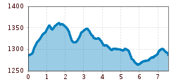
  • Elevation uphill:295 hm
  • Elevation downhill:285 hm

Starting point

Infobüro Kaunertal

Finishing point

Infobüro Kaunertal

Features

  • Circular route
  • Suitable for families
  • suitable for pushchairs

Trail condition

"Forst- und Wiesenwege, teilweise asphaltierte Gemeindestraße für geländetauglichen Kinderwagen geeignet"
Source: TVB Tiroler Oberland

Weather

Today

light rain showers
14°C/7°C
55%0.6l5 km/h

Sat

clear sky
18°C/5°C
0%0l5 km/h

Sun

mainly clear
19°C/7°C
35%1.1l5 km/h
Go to weather forecast

More tours in the surrounding area

  • Großer Mutzkopf

    Opening hours:closed
    Difficulty:easy
    Length:10.3 kmDuration:4:00 hElevation uphill:507 m
  • Rolli-Wanderung Aifner Alm

    Difficulty:medium
    Length:6.0 kmDuration:2:30 hElevation uphill:460 m
  • Rolli-Wanderung Nassereinalm

    Difficulty:medium
    Length:5.5 kmDuration:1:45 hElevation uphill:269 m
  • Rolli-Wanderung Gepatschhaus

    Length:8.5 kmDuration:1:45 hElevation uphill:156 m
  • Rolli-Wanderung Falkaunsalm

    Difficulty:medium
    Length:4.5 kmDuration:1:45 hElevation uphill:392 m
  • Kaunerberger Wasserweg

    Opening hours:closed
    Difficulty:medium
    Length:15.2 kmDuration:6:00 hElevation uphill:935 m
  • Gletscherlehrpfad Gepatschferner

    Difficulty:medium
    Length:8.4 kmDuration:3:45 hElevation uphill:400 m
  • Hohe Aifnerspitze (2.779 m)

    Difficulty:medium
    Length:7.2 kmDuration:5:15 hElevation uphill:815 m
  • Kapelle Maria Schnee

    Difficulty:easy
    Length:1.7 kmDuration:0:30 hElevation uphill:90 m
  • Radurschlklamm Gorge

    Opening hours:open
    Difficulty:medium
    Length:7.5 kmDuration:3:20 hElevation uphill:442 m
  • Rundwanderung Frudiger

    Difficulty:medium
    Length:13.5 kmDuration:4:55 hElevation uphill:588 m
  • Verpeilschlucht

    Opening hours:open
    Difficulty:medium
    Duration:3:00 hElevation uphill:386 m
  • Ötztal Trek Stage 15

    Difficulty:difficult
    Length:6.5 kmDuration:2:30 hElevation uphill:332 m
Newsletter

The mountain is calling? So does our newsletter!

In our monthly newsletter we reveal the best holiday tips for Tyrol.