Arrival by public transport
Line 231, Bust stop Kauns Falpaus, walking distance to Aifner Alm: 6 km
How grateful that we can start here from the Aifner Alm, because then the Hohe Aifner Spitze is not so far away. And you can sit out the subsequent refreshment stop until the last ray of sunshine.
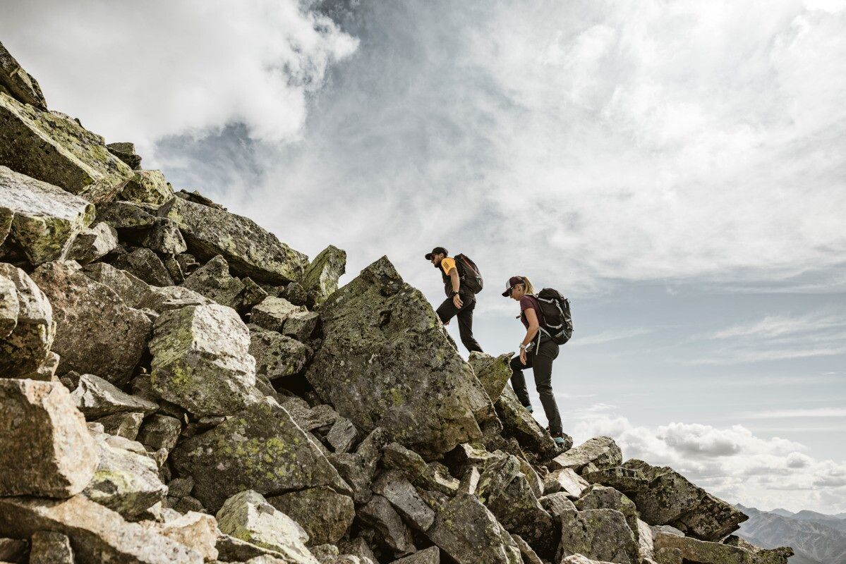
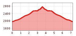
Initially moderately ascending through forest and alpine pasture terrain. From the tree line, the path becomes steeper and requires the use of your hands time and again. As with all alpine climbs, you should be sure-footed and have a head for heights. The summit rewards you with a fantastic view of the Kaunertal and the surrounding mountains.
The Aifner Alm is the starting point for this scenic summit hike. From Kaunerberg, drive toward the Naturparkhaus; about 1 km past the hamlet of Falpaus, turn right onto the signposted road to Aifner Alm. The parking area is by the stream, just below the summer-staffed alm.
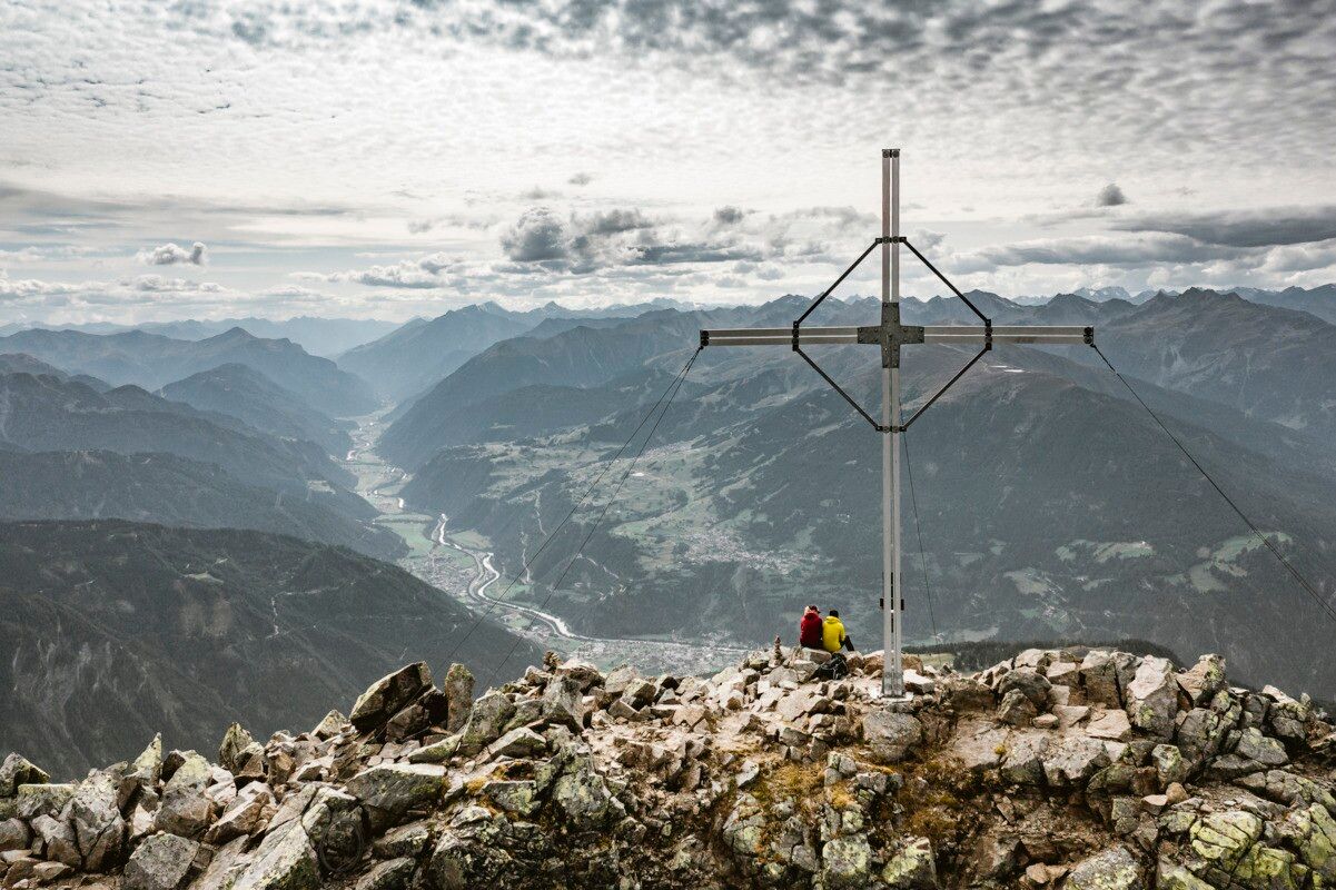
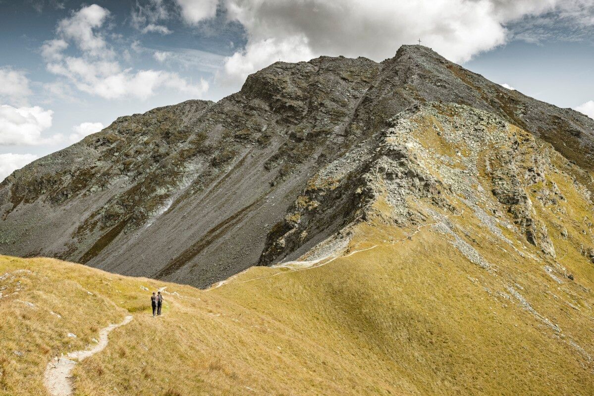
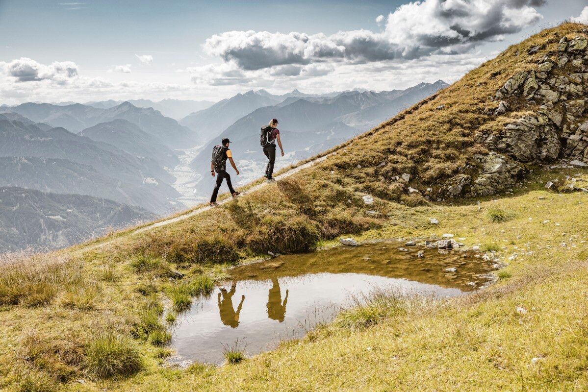
The trail passes the alm building and climbs through beautiful pastures surrounded by Swiss pines. The well-marked path continues over the treeline along a broad ridge to a signpost, then turns south toward Aifner Spitze (2,558 m), where a small summit cross offers stunning views over the Kaunertal, the Inntal, and into Switzerland.
Continuing to Hohe Aifner Spitze, the path is initially gentle up to a shelter, then steeper and rockier for the final 230 m, occasionally requiring the use of hands for support. At the large summit cross, enjoy a truly spectacular panoramic view. The descent follows the same trail back to Aifner Alm, where you can relax and enjoy a sunny alpine snack.
Line 231, Bust stop Kauns Falpaus, walking distance to Aifner Alm: 6 km
Parking area Aifner Alm and Schnadiger Weiher, free of charge


.jpg")


.jpg")
.jpg")


")
