Kapelle Maria Schnee

Pfunds / Ötztal Alps
Difficulty ratings: easy
Route length: 1.7 km
Duration: 0:30 h

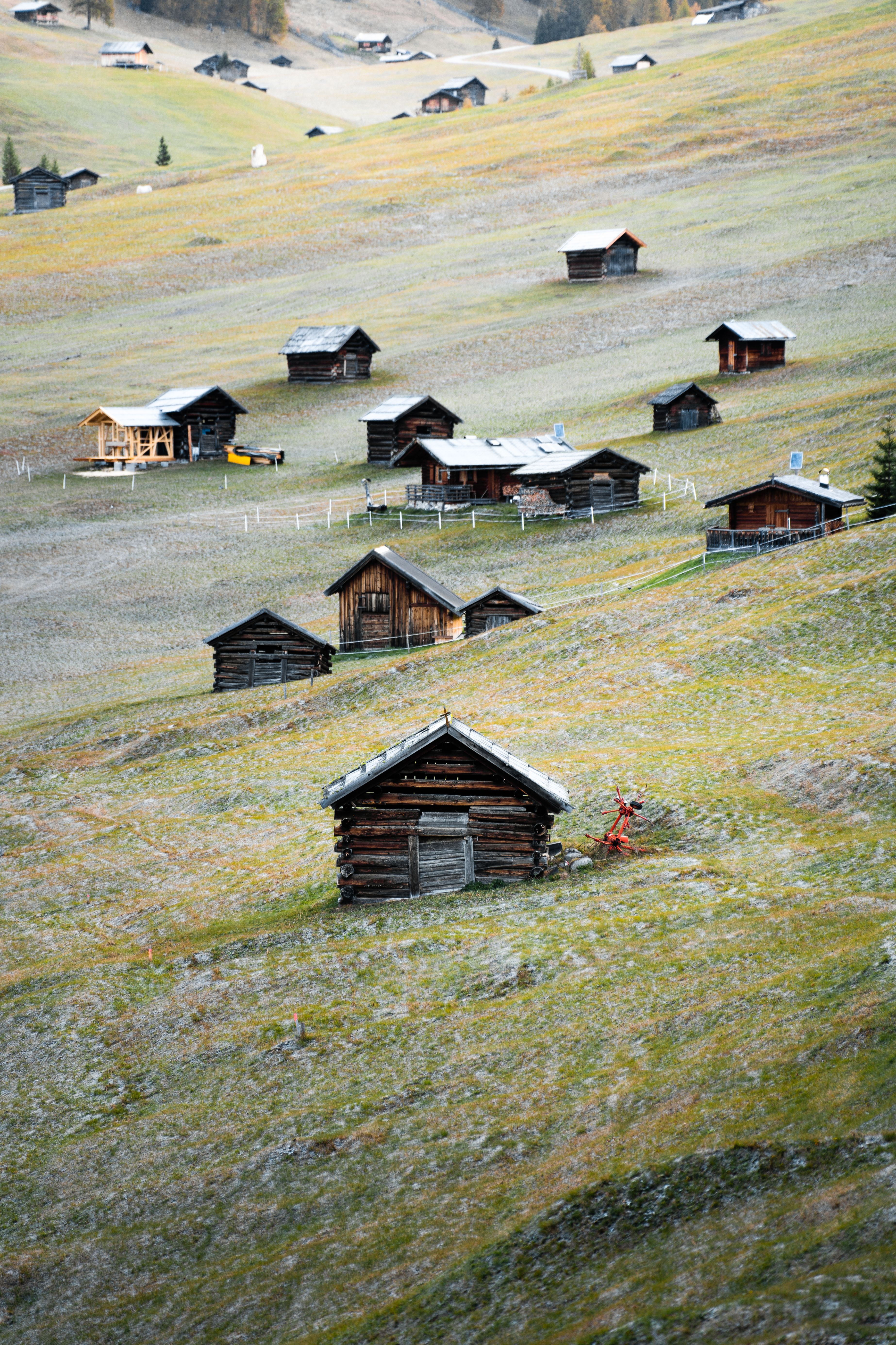
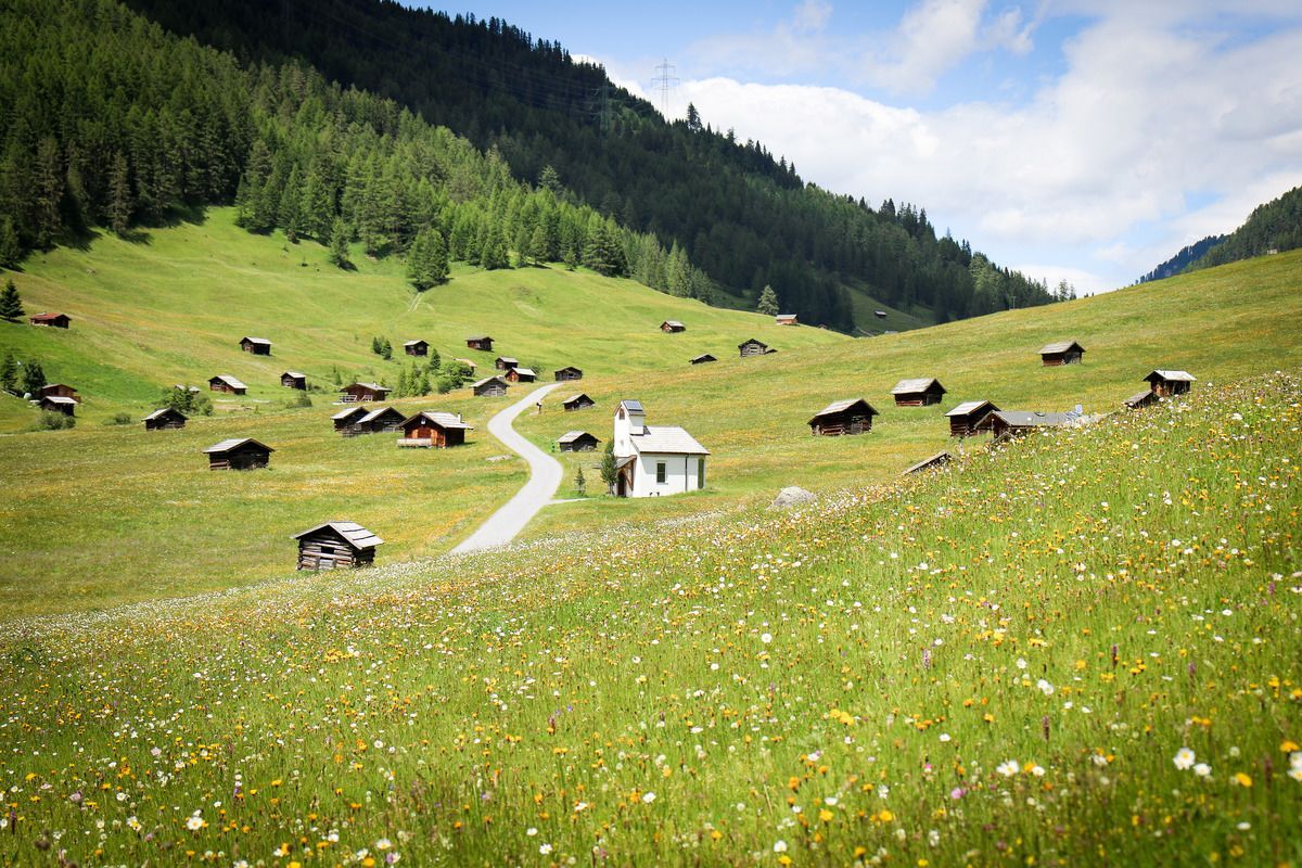
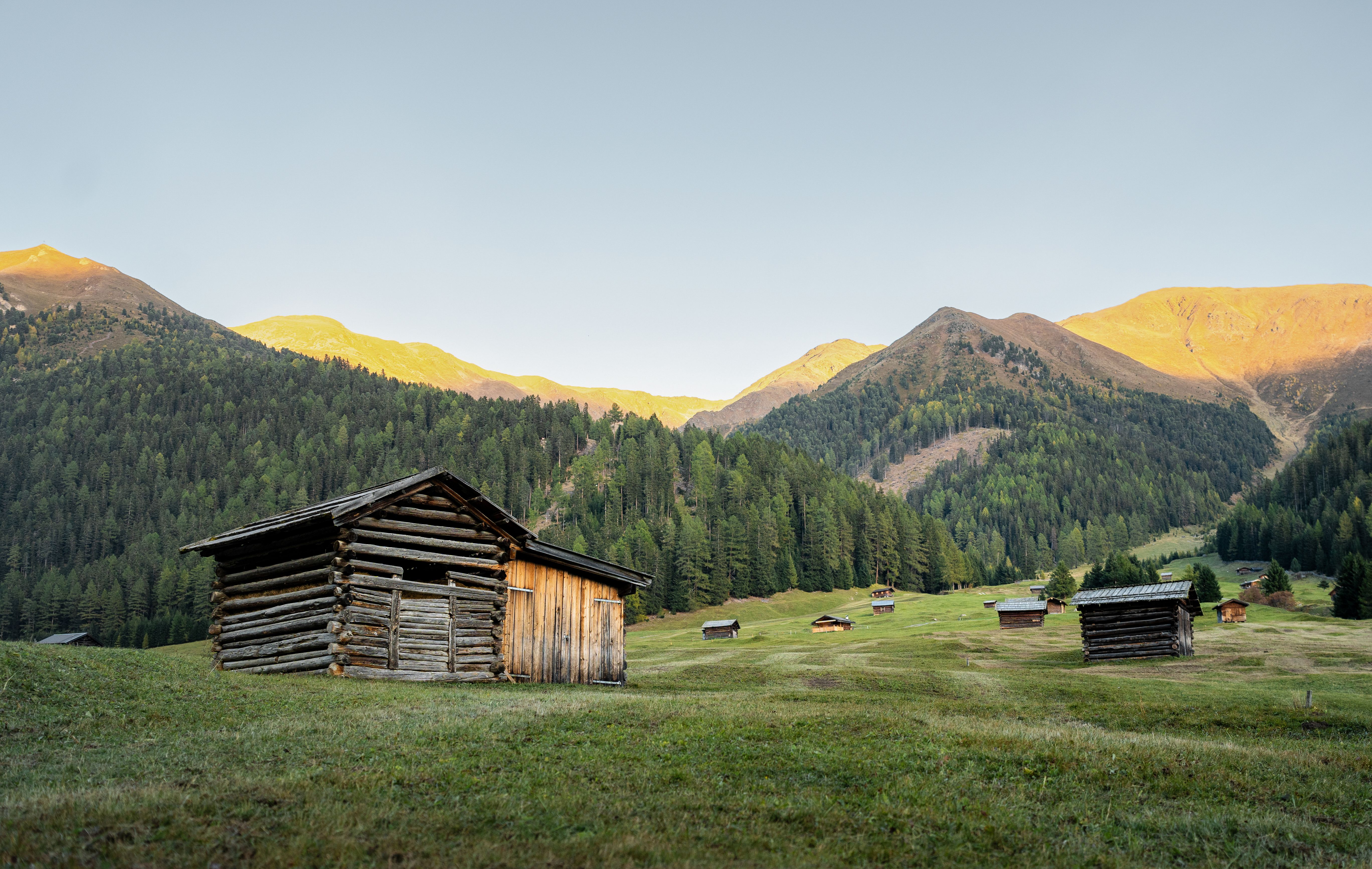
The Pfundser Tschey—more cows than people, probably no cell service, but hundreds of hay barns scattered across the vast meadows. Let’s find a fair trade!

Tour character

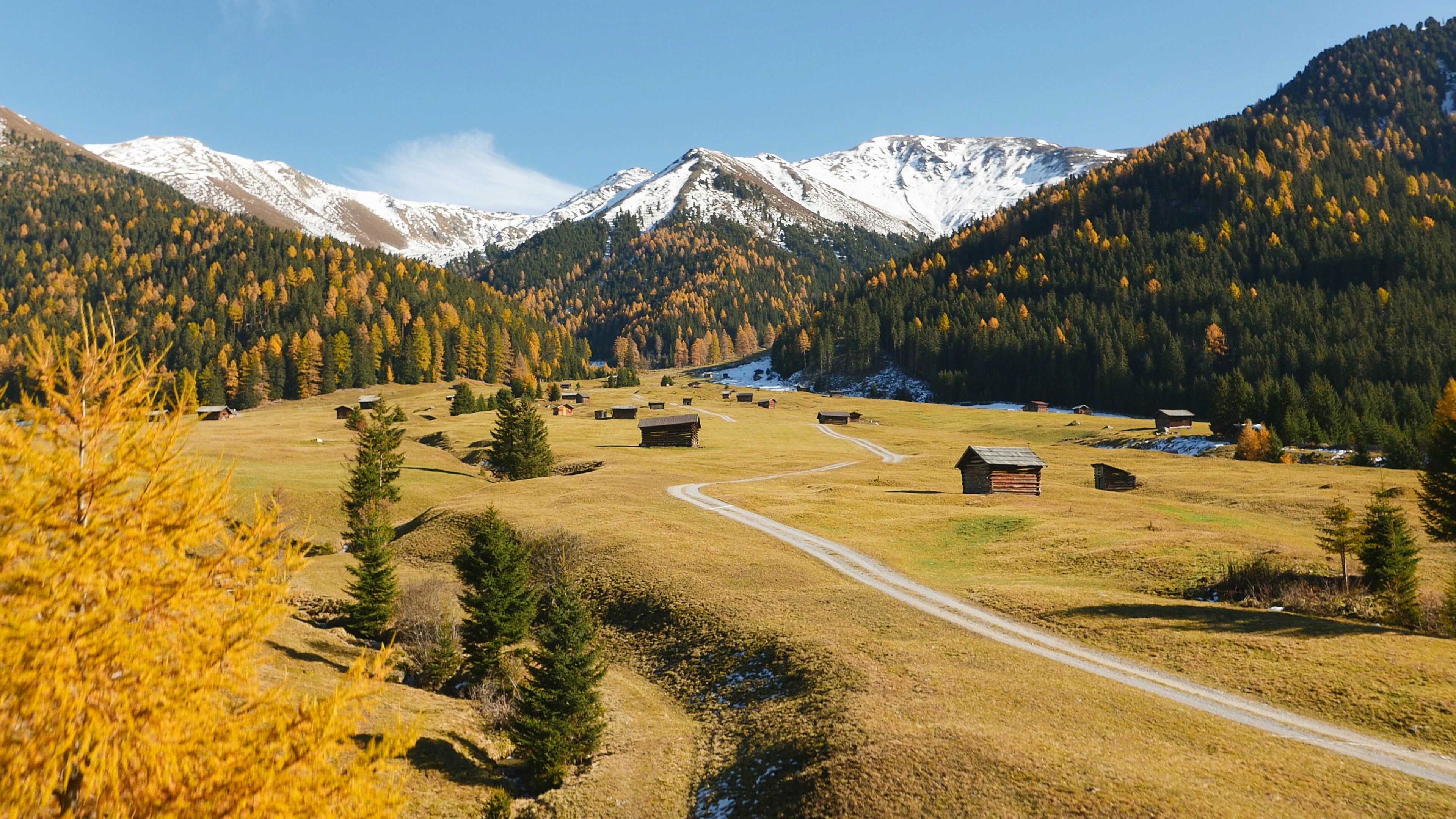
An easy hike on a paved (but traffic-free) path right through a cluster of old hay barns and cooking huts. The sun-drenched route through the high valley passes by the “Maria Schnee” chapel and is lined with numerous crocuses in the spring and golden larch trees in the fall. It’s also easy to walk with the family and a stroller. Since there are no places to stop for refreshments along the way, it’s a good idea to bring your own snack and take a break at one of the beautiful spots along the route.
Tour information

  • Requirement: easy
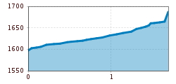
  • Length: 1.7 km
  • Duration: 0:30 h
  • Elevation uphill:90 hm
  • Elevation downhill:0 hm
Highest point1,687 m

Starting point

Tscheylücke Pfunds

Finishing point

Chapel of Our Lady of the Snows

Features

  • Suitable for families
  • suitable for pushchairs
Source: TVB Tiroler Oberland

Description

Take the bus from Pfunds to Greit and get off at Tscheylücke. From Tscheylücke, an easy walking trail leads through the beautiful landscape of the Tschey meadows to the Maria Schnee Chapel.

Tip: Every Thursday, a hiking bus runs to Tschey

Weather

Today

light rain
14°C/9°C
80%5.9l5 km/h

Fri

cloudy
18°C/8°C
45%0.4l5 km/h

Sat

clear sky
21°C/6°C
0%0l5 km/h
Go to weather forecast

More tours in the surrounding area

  • Großer Mutzkopf

    Opening hours:closed
    Difficulty:easy
    Length:10.3 kmDuration:4:00 hElevation uphill:507 m
  • Talwanderweg Kaunertal

    Difficulty:easy
    Duration:2:30 hElevation uphill:295 m
  • Rundwanderung Frudiger

    Difficulty:medium
    Length:13.5 kmDuration:4:55 hElevation uphill:588 m
  • Radurschlklamm Gorge

    Opening hours:open
    Difficulty:medium
    Length:7.5 kmDuration:3:20 hElevation uphill:442 m
  • Gletscherlehrpfad Gepatschferner

    Difficulty:medium
    Length:8.4 kmDuration:3:45 hElevation uphill:400 m
  • Hohe Aifnerspitze (2.779 m)

    Difficulty:medium
    Length:7.2 kmDuration:5:15 hElevation uphill:815 m
  • Kaunerberger Wasserweg

    Opening hours:closed
    Difficulty:medium
    Length:15.2 kmDuration:6:00 hElevation uphill:935 m
  • Rolli-Wanderung Gepatschhaus

    Length:8.5 kmDuration:1:45 hElevation uphill:156 m
  • Rolli-Wanderung Aifner Alm

    Difficulty:medium
    Length:6.0 kmDuration:2:30 hElevation uphill:460 m
  • Rolli-Wanderung Falkaunsalm

    Difficulty:medium
    Length:4.5 kmDuration:1:45 hElevation uphill:392 m
  • Rolli-Wanderung Nassereinalm

    Difficulty:medium
    Length:5.5 kmDuration:1:45 hElevation uphill:269 m
  • Verpeilschlucht

    Opening hours:open
    Difficulty:medium
    Duration:3:00 hElevation uphill:386 m
  • Ötztal Trek Stage 15

    Difficulty:difficult
    Length:6.5 kmDuration:2:30 hElevation uphill:332 m
Newsletter

The mountain is calling? So does our newsletter!

In our monthly newsletter we reveal the best holiday tips for Tyrol.