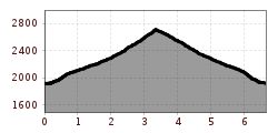
Mountain hikes Figerhorn

Kals am Großglockner / Glocknergruppe
Difficulty ratings: difficult
Route length: 6.5 km
Duration: 6:00 h

You might think that the Figerhorn doesn't have it easy in the shadow of the Großglockner. Yet this is precisely its strength: past the blooming Grei meadows and over the long ridge, the Fiegerhorn offers you the ideal view of the Großglockner.

Tour character

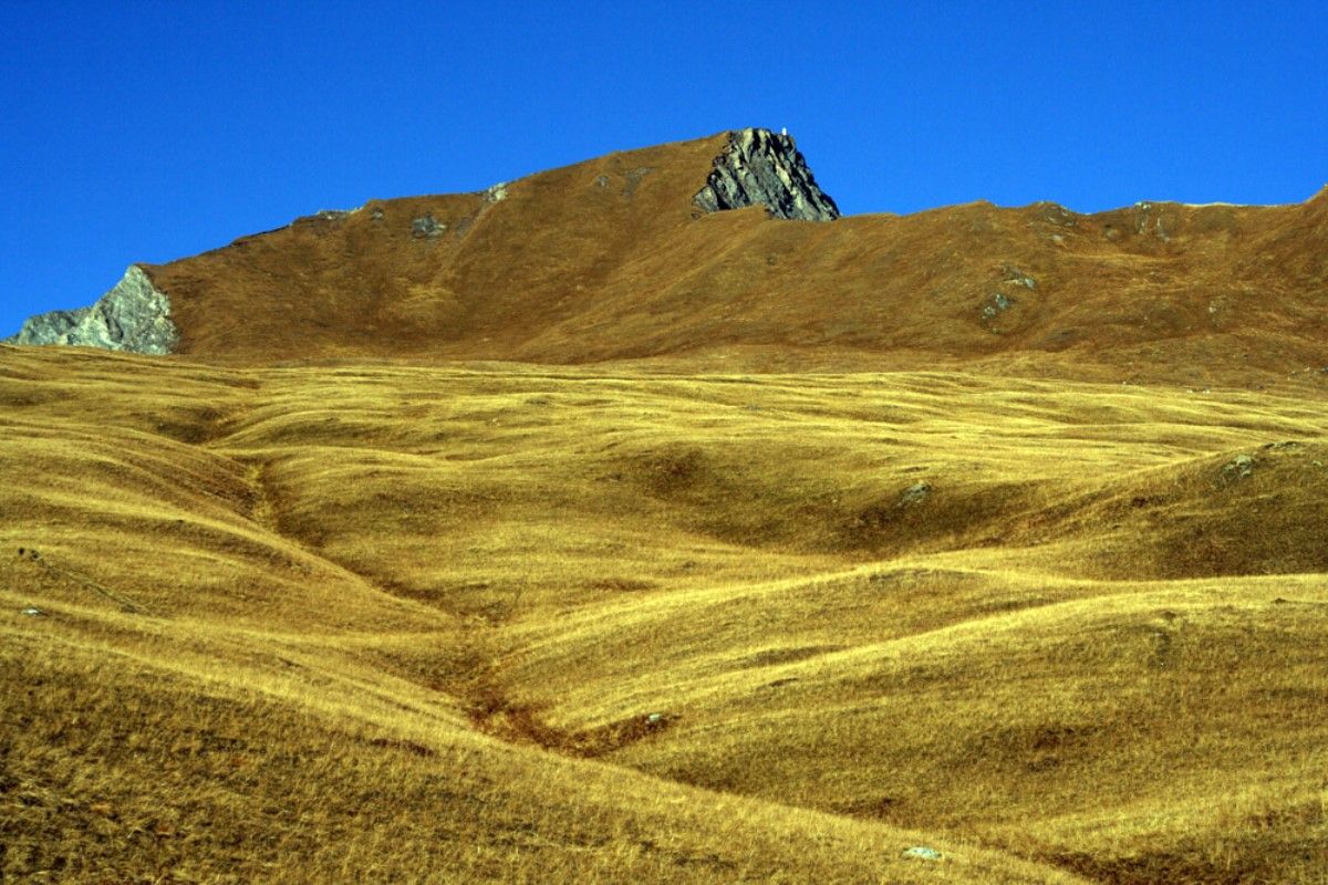
Winding ascent from the Kalser Tal valley to the species-rich flowering Greiwiesen meadows. From there towards the summit flank and finally over the ridge to the summit. The tour is classified as difficult due to the black mountain paths, but does not present any major technical difficulties.

Tour information

  • Requirement: difficult
  • Length: 6.5 km
  • Duration: 6:00 h
  • Elevation uphill:807 hm
  • Elevation downhill:811 hm
Highest point2,743 m

Starting point

Parkplatz Lucknerhaus

Finishing point

Figerhorn
  • Fitness level 4 / 6
  • Technique 3 / 6

Best time of year

  • January
  • February
  • March
  • April
  • May
  • June
  • July
  • August
  • September
  • October
  • November
  • December
Source: Nationalparkregion Hohe Tauern Osttirol

Description

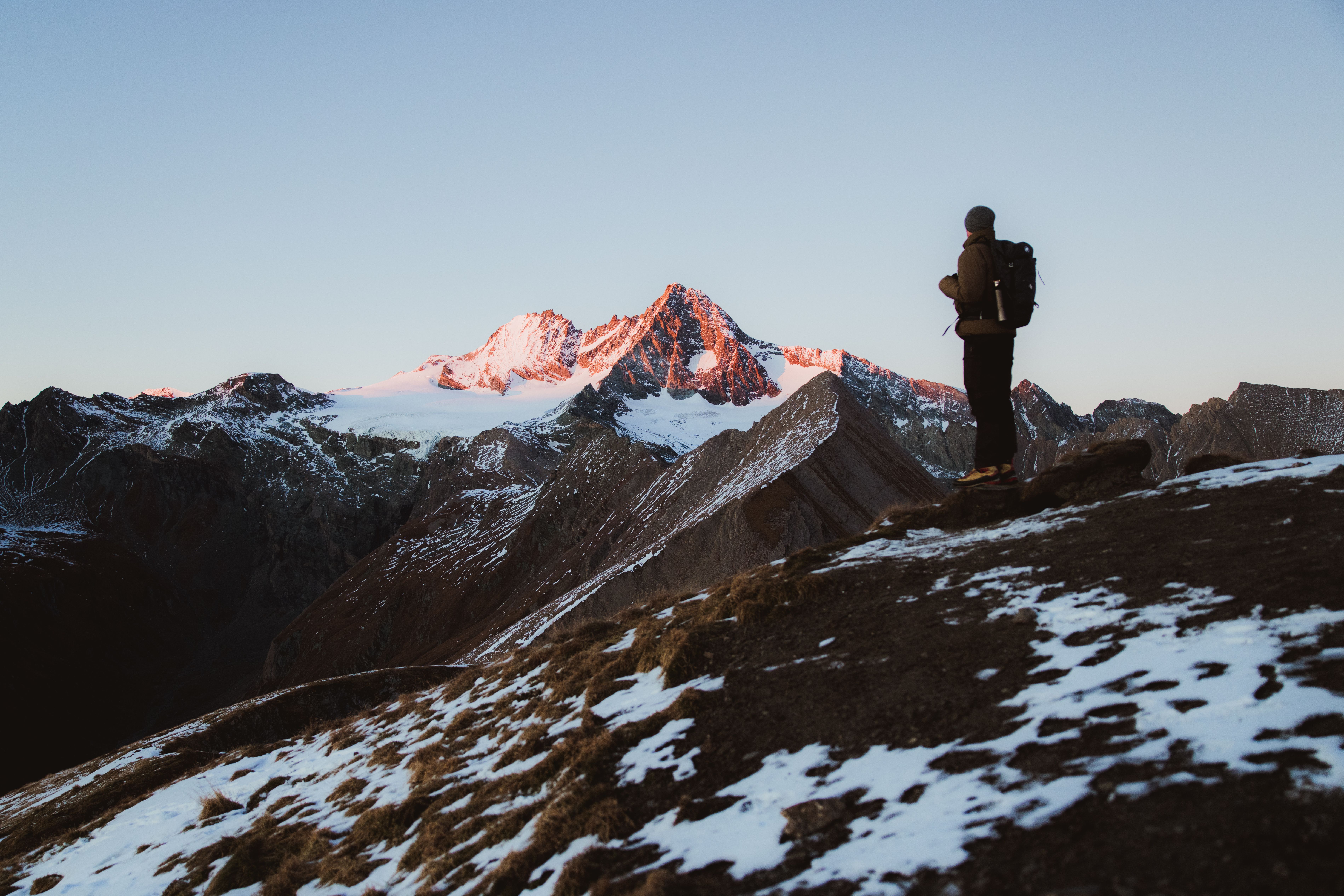
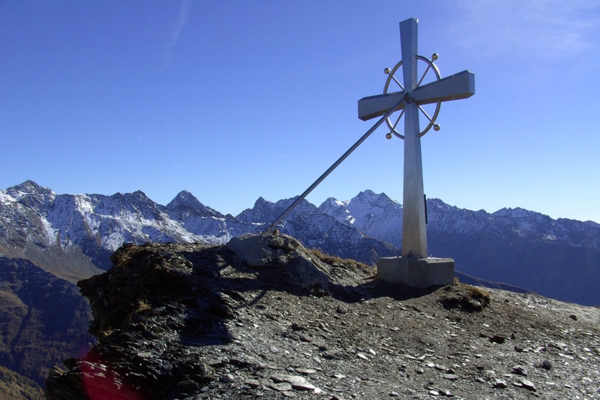
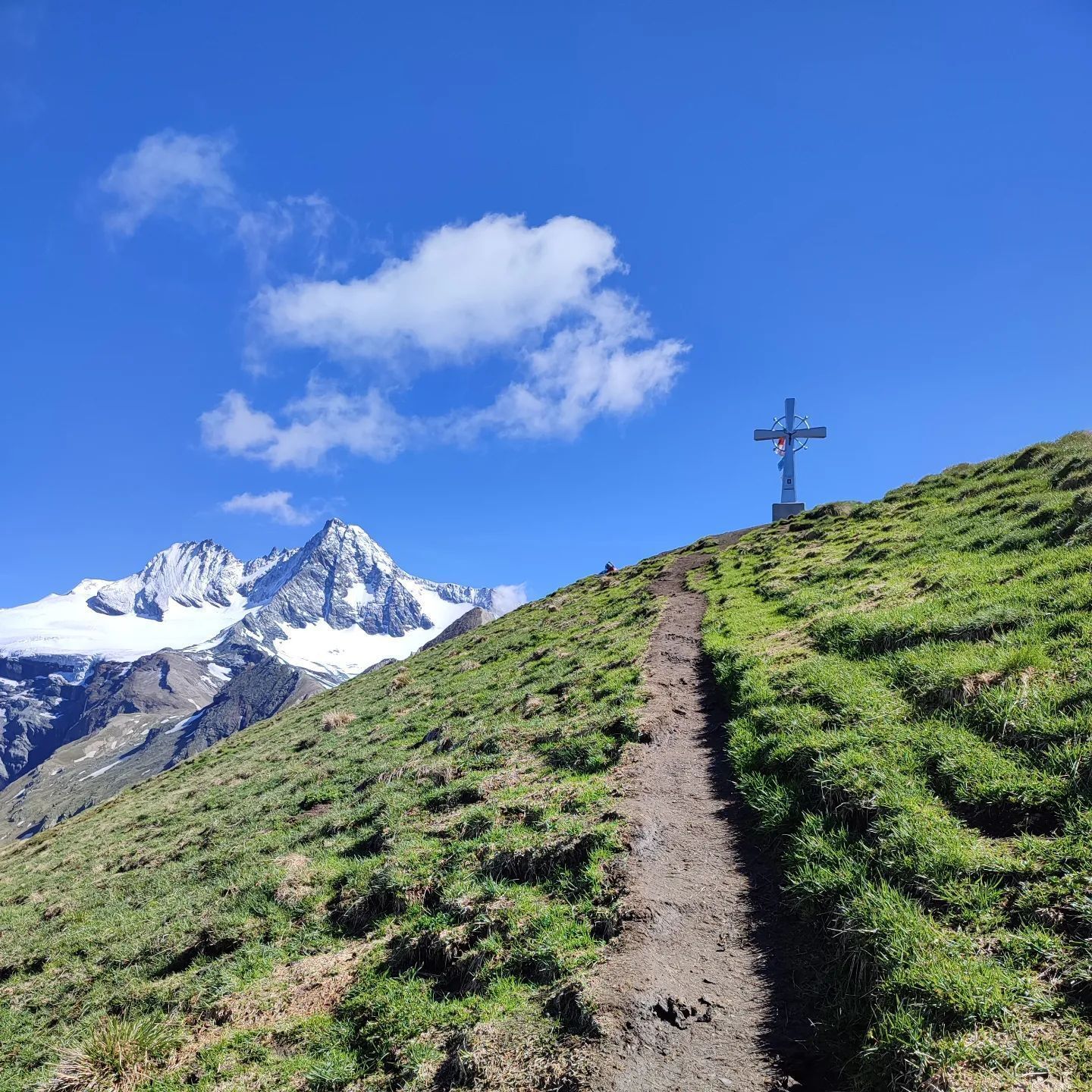
Drive up to Lucknerhaus in Kals am Großglockner. Left, next to Lucknerhaus, we start on the ‘Wendelin-Weingartner-Weg’ heading for Figerhorn. After a few serpentine bends through the area which is steep at first you get to ‘Greiwiesen’. The route flattens out, continuing to ‘Greil Bühel’. Walk in a northerly direction, along the path to the flanks of the summit of the Figerhorn. To finish, scale the final metres high above the ridge, and head towards the wonderful summit cross! The fantastic view to the Großglockner and the other mountains in the panorama is a particular highlight of this tour.

More tours in the surrounding area

  • Hike to the Venedigerhaus Innergschlöß

    Difficulty: easy
    Length: 8.5 km Duration: 2:30 h Elevation uphill: 180 m
  • Lasörling altitude trail

    Difficulty: medium
    Length: 57.0 km Duration: 25:00 h Elevation uphill: 3,740 m
  • Venediger altitude trail

    Difficulty: difficult
    Length: 55.5 km Duration: 27:00 h Elevation uphill: 3,915 m
  • Muhs panorama trail

    Difficulty: medium
    Length: 15.2 km Duration: 6:00 h Elevation uphill: 1,090 m
  • Rotenkogel

    Difficulty: difficult
    Length: 3.9 km Duration: 3:00 h Elevation uphill: 383 m
  • Hike to Neuen Reichenberger Hütte

    Difficulty: medium
    Length: 9.1 km Duration: 9:00 h Elevation uphill: 1,210 m
  • Hiking tour to Lasörlinghütte 2.350m

    Difficulty: medium
    Length: 14.6 km Duration: 7:10 h Elevation uphill: 1,080 m
  • Badener Hütte

    Difficulty: difficult
    Length: 23.2 km Duration: 11:30 h Elevation uphill: 1,750 m
  • Lucknerhaus - Stüdlhütte

    Difficulty: medium
    Length: 9.3 km Duration: 5:30 h Elevation uphill: 862 m
  • Hike to Kalser Tauernhaus

    Difficulty: medium
    Length: 12.2 km Duration: 4:00 h Elevation uphill: 244 m
  • Hiking tour to Neue Sajathütte 2.600m

    Difficulty: medium
    Length: 10.3 km Duration: 6:50 h Elevation uphill: 1,080 m
  • Umbal waterfalls nature force trail

    Difficulty: easy
    Length: 5.8 km Duration: 2:30 h Elevation uphill: 250 m
  • Böses Weibl

    Difficulty: difficult
    Length: 14.1 km Duration: 8:00 h Elevation uphill: 1,193 m
  • Lasörling 3.098m

    Difficulty: difficult
    Length: 21.9 km Duration: 12:00 h Elevation uphill: 1,940 m
Newsletter

The mountain is calling? So does our newsletter!

In our monthly newsletter we reveal the best holiday tips for Tyrol.