Mountain hikes Hiking tour to Neue Prager Hütte 2.796m

Matrei in Osttirol / Venedigergruppe
Difficulty ratings: medium
Route length: 21.0 km
Duration: 9:35 h

In the presence of the ‘ancient majesty of the world’

Tour information

  • Requirement: medium
  • Length: 21.0 km
  • Duration: 9:35 h
  • Elevation uphill:1,288 hm
  • Elevation downhill:1,288 hm
Highest point2,796 m

Starting point

Car park Matreier Tauernhaus 1.410m

Finishing point

Car park Matreier Tauernhaus 1.410m
  • Fitness level 3 / 6
  • Technique 3 / 6

Best time of year

  • January
  • February
  • March
  • April
  • May
  • June
  • July
  • August
  • September
  • October
  • November
  • December
Source: TVB Osttirol

Description

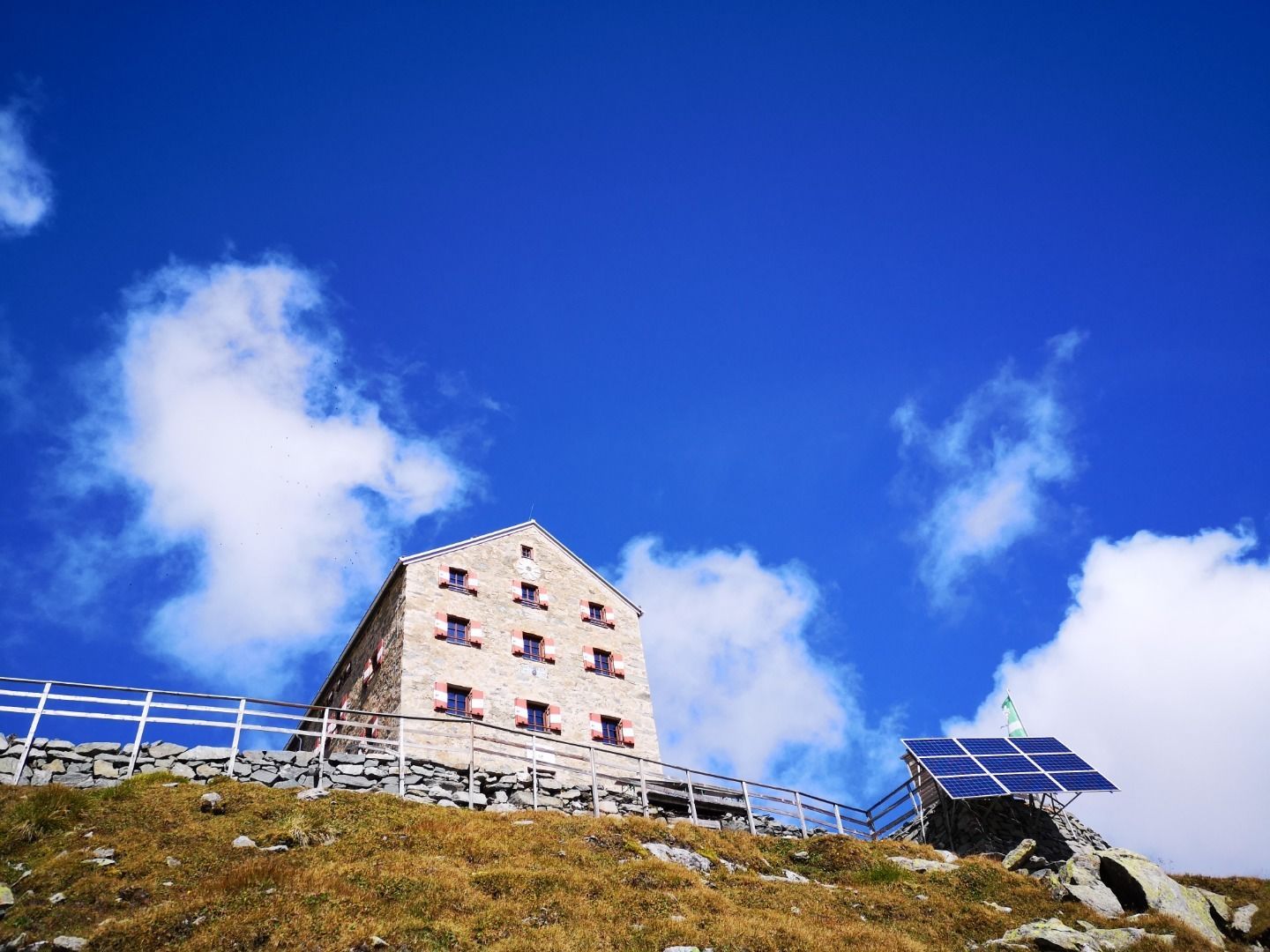
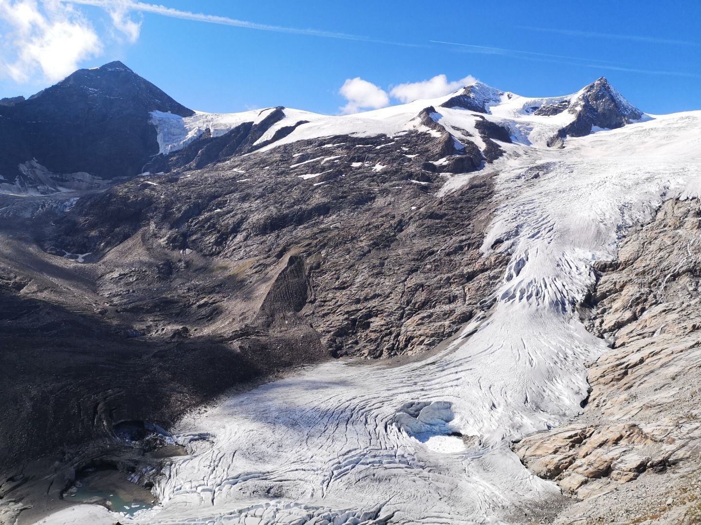
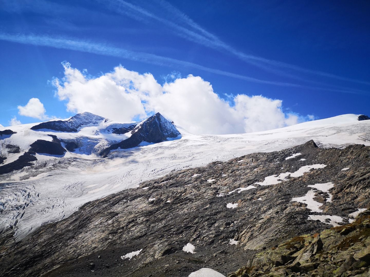
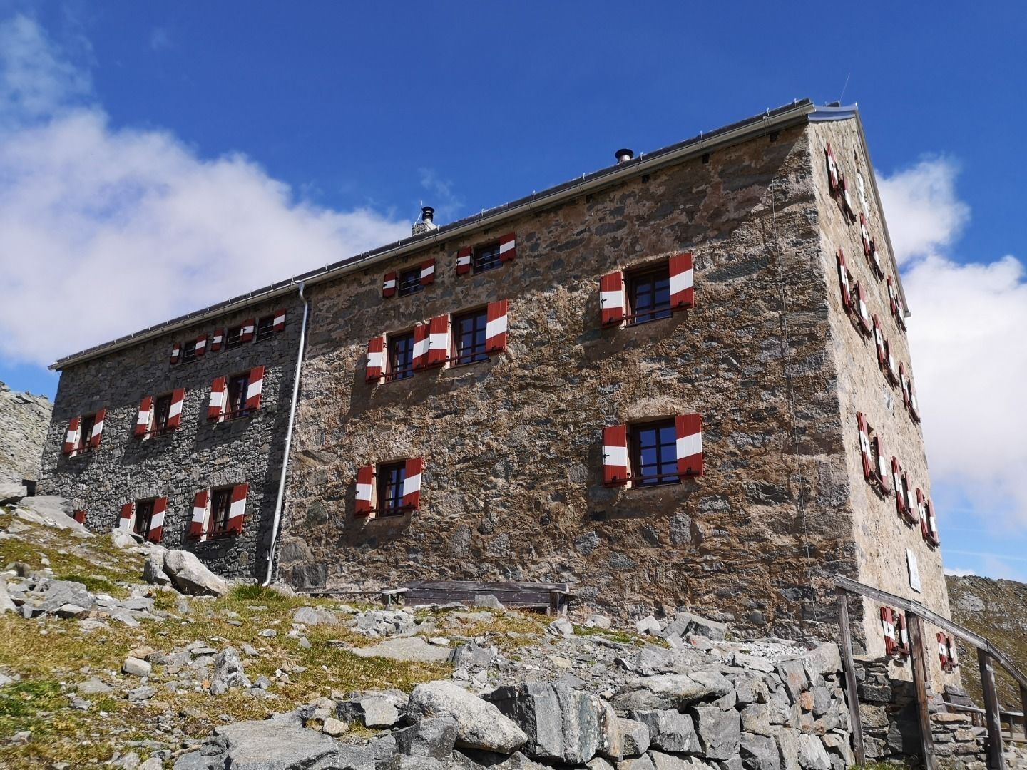
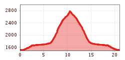
The starting point of this more demanding hike is the parking place Matreier Tauernhaus. From there, follow the slightly ascending road towards the Gschlößtal and continue along the Wohlgemuthalmen to the Berghaus Außergschlöß. Along the stream Gschlößbach leads a moderate path towards the Venedigerhaus Innergschlöß. Passing the Venedigerhaus, continue along the right side of the stream until you reach the bridge, which you then have to cross. Take the path up to the hut Alte Prager Hütte. From the Alte Prager Hütte follow the marked path up to the hut Neue Prager Hütte. On this hike you have a fabulous view of the Schlatenkees and the Großvenediger.

Getting here

  • Arrival by public transport

    Matreier Tauernhaus

  • Parking

    Parking place Matreier Tauernhaus

More tours in the surrounding area

  • Hike to the Venedigerhaus Innergschlöß

    Difficulty:easy
    Length:8.6 kmDuration:2:30 hElevation uphill:184 m
  • Lucknerhaus - Stüdlhütte

    Difficulty:medium
    Length:9.3 kmDuration:5:30 hElevation uphill:862 m
  • Badener Hütte

    Difficulty:difficult
    Length:23.2 kmDuration:11:30 hElevation uphill:1,754 m
  • Theme path "Virgen crossroads"

    Difficulty:easy
    Length:3.2 kmDuration:1:00 hElevation uphill:104 m
  • Lasörling altitude trail

    Difficulty:medium
    Length:57.0 kmDuration:25:00 hElevation uphill:3,740 m
  • Venediger altitude trail

    Difficulty:difficult
    Length:55.5 kmDuration:27:00 hElevation uphill:3,915 m
  • Figerhorn

    Difficulty:difficult
    Length:6.5 kmDuration:6:00 hElevation uphill:807 m
  • Muhs panorama trail

    Difficulty:medium
    Length:15.2 kmDuration:6:00 hElevation uphill:1,090 m
  • Hike to Neuen Reichenberger Hütte

    Difficulty:medium
    Length:18.2 kmDuration:9:00 hElevation uphill:1,252 m
  • Hiking tour to Lasörlinghütte 2.350m

    Difficulty:medium
    Length:14.6 kmDuration:7:10 hElevation uphill:1,080 m
  • Hike to Kalser Tauernhaus

    Difficulty:medium
    Length:12.2 kmDuration:4:00 hElevation uphill:244 m
  • Hiking tour to Neue Sajathütte 2.600m

    Difficulty:medium
    Length:10.3 kmDuration:6:50 hElevation uphill:1,086 m
  • Rotenkogel

    Difficulty:difficult
    Length:3.9 kmDuration:3:00 hElevation uphill:383 m
  • Lasörling 3.098m

    Difficulty:difficult
    Length:21.9 kmDuration:12:00 hElevation uphill:1,940 m
  • Böses Weibl

    Difficulty:difficult
    Length:14.1 kmDuration:8:00 hElevation uphill:1,193 m
  • Umbal waterfalls nature force trail

    Difficulty:easy
    Length:6.0 kmDuration:2:30 hElevation uphill:257 m
  • Rollitour with Swiss Trac

    Difficulty:easy
    Length:3.2 kmDuration:1:30 hElevation uphill:135 m
  • Eagle Walk Stage O1: Ströden - Johannis Hütte

    Difficulty:medium
    Length:13.0 kmDuration:6:30 hElevation uphill:1,430 m
Newsletter

The mountain is calling? So does our newsletter!

In our monthly newsletter we reveal the best holiday tips for Tyrol.