Mountain hikes Lucknerhaus - Stüdlhütte

Kals am Großglockner / Glockner Group
Difficulty ratings: medium
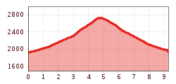
Route length: 9.3 km
Duration: 4:30 h

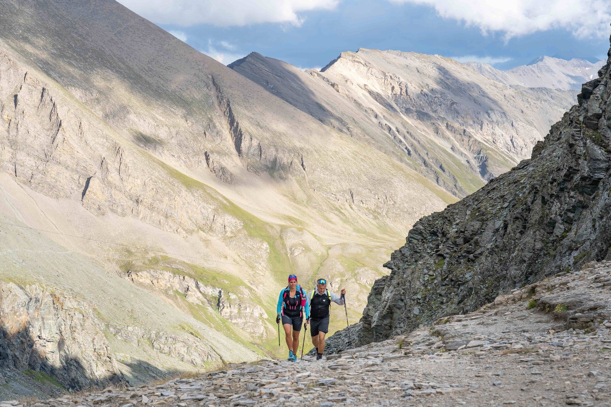
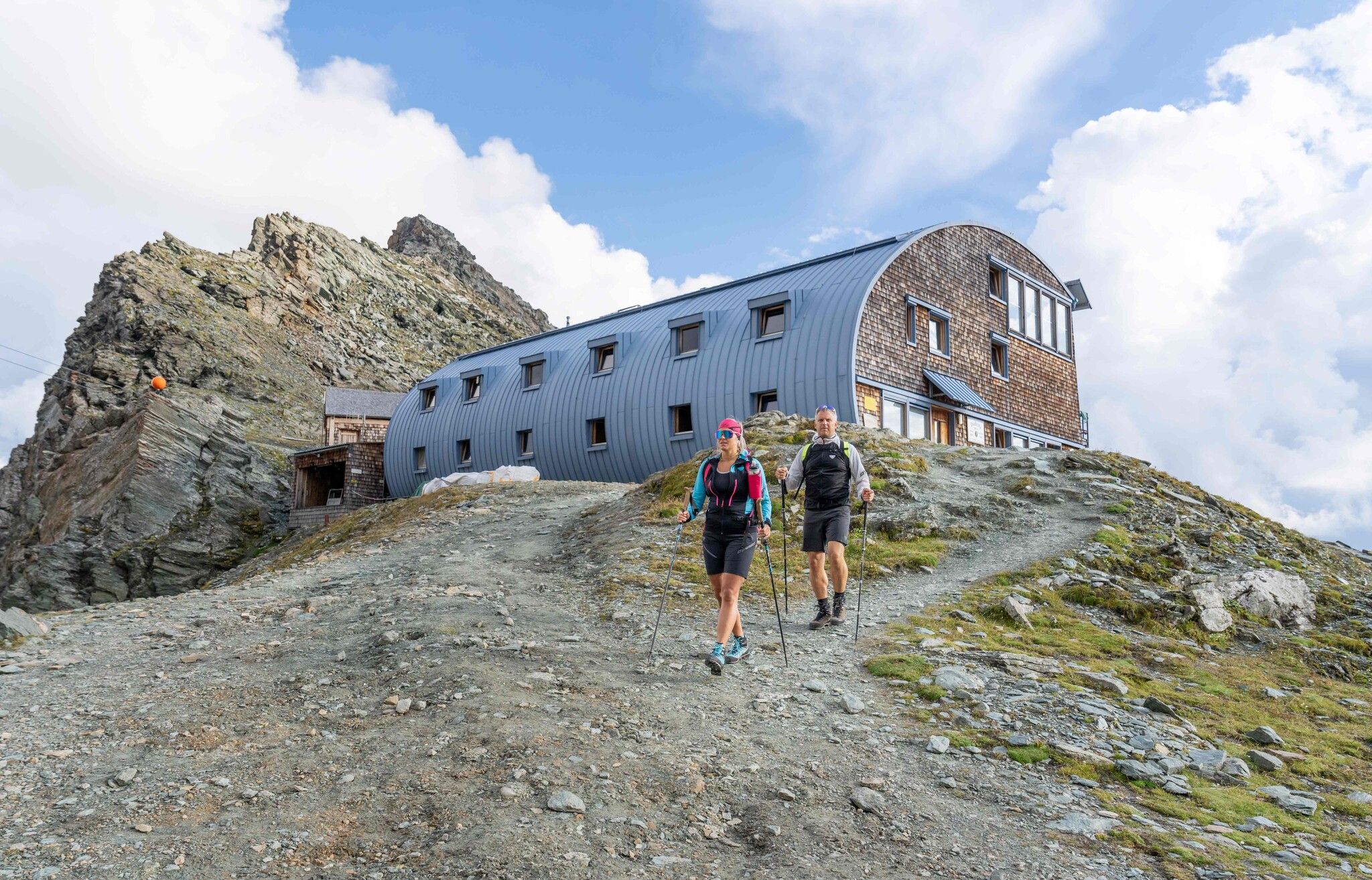
As famous for its shape as for its location: the Stüdlhütte nestles in the Fanatscharte and is the starting point for tours to the Großglockner. For the less ambitious, however, the ascent from the Lucknerhaus is enough.

Tour character

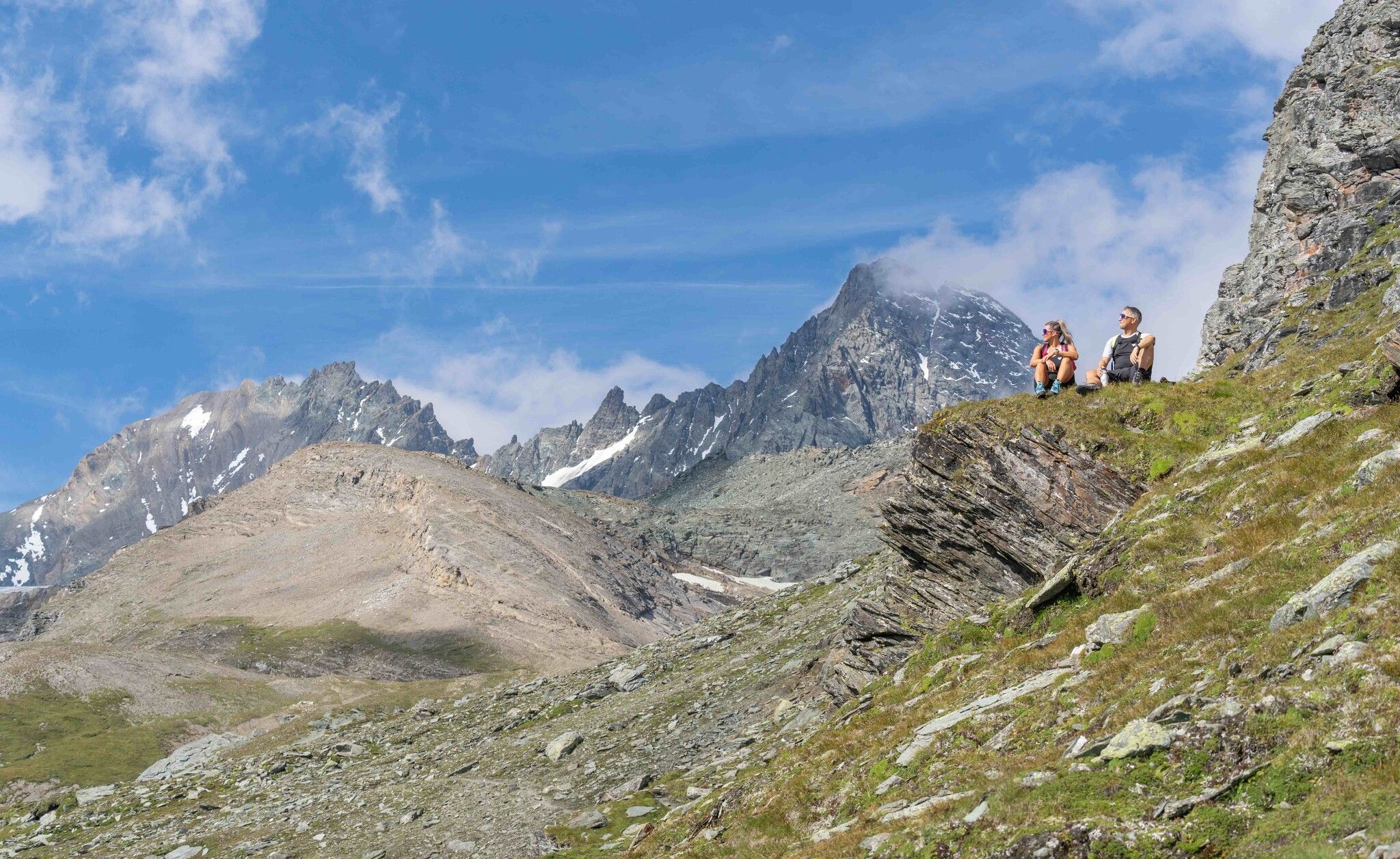
Medium-difficulty tour from the Lucknerhaus via the Lucknerhütte to the Stüdlhütte. Initially on a road, later on a path, the route climbs steadily but is otherwise not difficult. With a bit of luck, you might spot the marmots and ibex that live here. At the Stüdlhütte, which serves as a base for tours to the Grossglockner, you can meet alpinists before and after the Glockner ascent.
Tour information

  • Requirement: medium
  • Length: 9.3 km
  • Duration: 4:30 h
  • Elevation uphill:862 hm
  • Elevation downhill:848 hm
Highest point2,802 m

Starting point

Parkplatz Glocknerwinkel

Finishing point

Parkplatz Glocknerwinkel
  • Fitness level 3 / 6
  • Technique 2 / 6

Best time of year

  • January
  • February
  • March
  • April
  • May
  • June
  • July
  • August
  • September
  • October
  • November
  • December

Trail condition

Forest road to Lucknerhütte, then trail from there.

Equipment

Basic equipmentformountainhikingincludessturdy hiking bootswith a goodtread, a 30-35 literbackpack, and functionalclothingbased on thelayeringprinciple, includingsufficient spare clothes. Essential itemsare rain, cold, and sunprotection, adequatefluids and food, aswellas a first-aid kit and a charged mobile phone. A mapor a GPS devicesupportsorientation. 

The informationservesas a guideline and does not claimtobe exhaustive. Equipment mustalwaysbeadaptedtothe planned route, weatherconditions, season, naturalhazards, environmental influences, and personal needs. 

Source: TVB Osttirol

Description

Drive up the Kalser Glocknerstraße to the Glocknerwinkel car park (toll charge).

With the Großglockner constantly in view, the AV trail 702 B leads from the Lucknerhaus for approx. 1 hour through the scenically varied Ködnitztal (opportunities to observe marmots, chamois, and ibex) to the Lucknerhütte and continues on the same route via the “Viehböden” to the Stüdlhütte on the Fanat-Scharte in another 1.5 hours.

The Stüdlhütte is an ideal and frequently chosen starting point for ascents of the Großglockner.

Nearby huts and mountain restaurants

Getting here

  • Arrival by public transport

    Busline 952 according the summer timetable from the end of May until the end of September

  • Parking

    Via the Kalser Glocknerstrasse to the parking Glocknerwinkel 
    Parking Glocknerwinkel

More tours in the surrounding area

  • Lasörling altitude trail

    Difficulty:medium
    Length:55.4 kmDuration:25:00 hElevation uphill:3,718 m
  • Venediger altitude trail

    Difficulty:difficult
    Length:55.5 kmDuration:27:00 hElevation uphill:3,975 m
  • Theme path "Virgen crossroads"

    Difficulty:easy
    Length:3.2 kmDuration:1:00 hElevation uphill:104 m
  • Figerhorn

    Difficulty:difficult
    Length:6.6 kmDuration:6:00 hElevation uphill:811 m
  • Muhs panorama trail

    Difficulty:medium
    Length:15.2 kmDuration:6:00 hElevation uphill:1,090 m
  • Herz-Ass Villgratental

    Difficulty:medium
    Length:75.6 kmDuration:34:00 hElevation uphill:5,703 m
  • Böses Weibele

    Difficulty:easy
    Length:10.0 kmDuration:4:00 hElevation uphill:545 m
  • Glödis via ferrata route

    Opening hours:open
    Difficulty:B
    Duration:1:00 hDuration:4:00 hElevation difference:230 m
  • Böses Weibl

    Difficulty:difficult
    Length:14.1 kmDuration:8:00 hElevation uphill:1,193 m
  • Children's mile Golzentipp

    Difficulty:easy
    Length:3.7 kmDuration:2:00 hElevation uphill:140 m
  • Lasörling 3.098m

    Difficulty:difficult
    Length:22.0 kmDuration:12:00 hElevation uphill:1,940 m
  • Circular walk church St. Nikolaus

    Difficulty:easy
    Length:5.4 kmDuration:1:39 hElevation uphill:150 m
  • Iseltrail

    Difficulty:medium
    Length:75.3 kmDuration:24:30 hElevation uphill:2,347 m
  • Badener Hütte

    Difficulty:difficult
    Length:23.2 kmDuration:12:00 hElevation uphill:1,754 m
Newsletter

The mountain is calling? So does our newsletter!

In our monthly newsletter we reveal the best holiday tips for Tyrol.