Mountain hikes Oberseitsee - Seespitze 3.021 m

St. Jakob im Defereggental / Venediger Group
Difficulty ratings: difficult
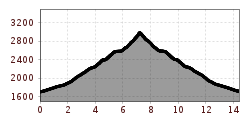
Route length: 14.4 km
Duration: 8:30 h

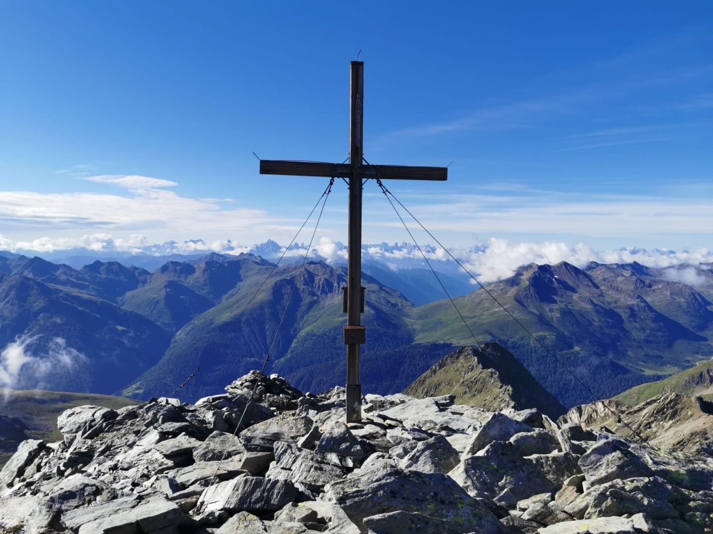
A lake, a peak and a 360-degree view of the greats of the Alps. Although the Seespitze is the easiest 3,000-metre peak in the area to climb, it can deliver just as much as its bigger siblings.

Tour character

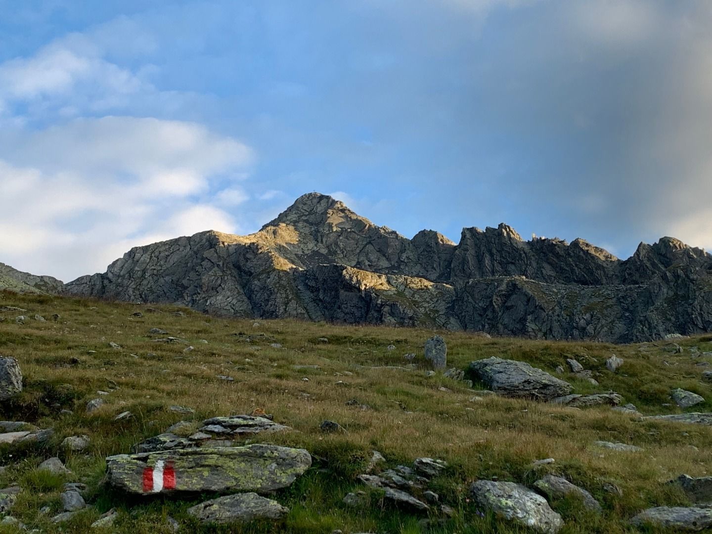
One of the easiest 3,000 m peaks to climb in Defereggen Valley, but one that still requires practice. Climb steadily upwards over meadow slopes and via a path to Oberseitsee, then on a steeper and slightly exposed path over a secured passage to the Seespitze. Sure-footedness and a head for heights are essential for black mountain trails such as this tour.
Tour information

  • Requirement: difficult
  • Length: 14.4 km
  • Duration: 8:30 h
  • Elevation uphill:1,310 hm
  • Elevation downhill:1,310 hm
Highest point3,021 m

Starting point

Trogach

Finishing point

Seespitze
  • Fitness level 4 / 6
  • Technique 3 / 6

Best time of year

  • January
  • February
  • March
  • April
  • May
  • June
  • July
  • August
  • September
  • October
  • November
  • December
Source: TVB Osttirol

Description

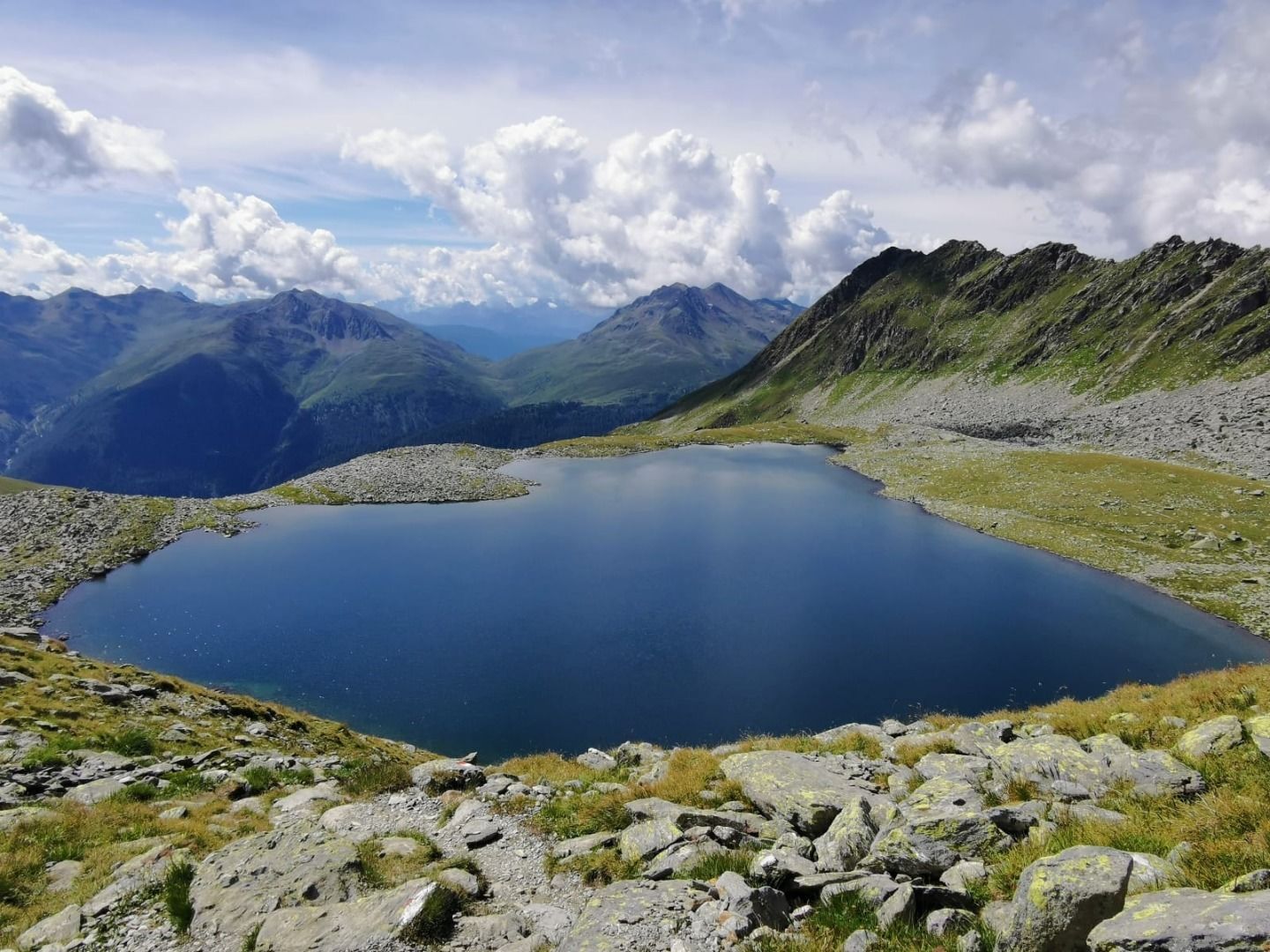
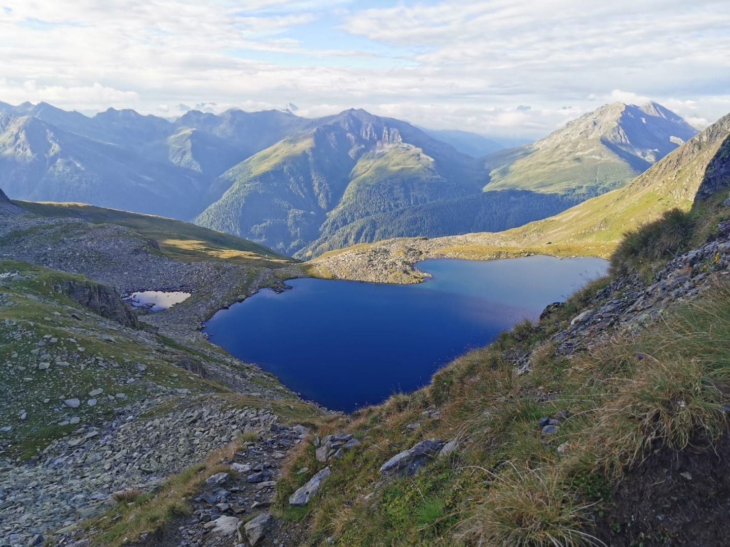
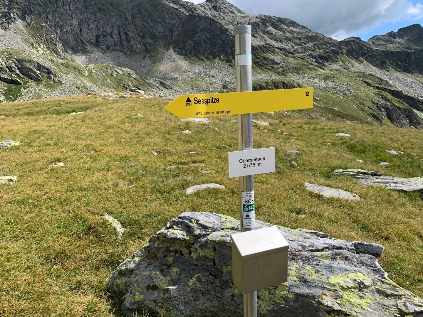
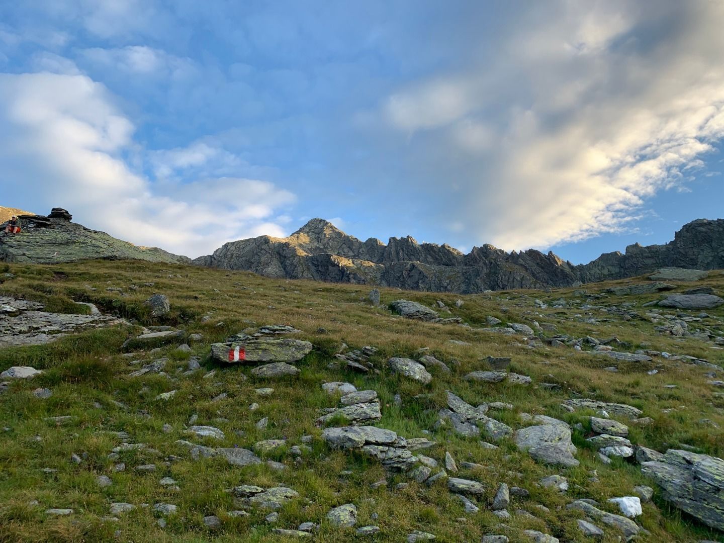
From Trogach on the forest trail to Gasserkofel, continuing via the meadow slopes to the Seespitzhütte (2327 m). There is a signposted path to the superb Oberseitsee (2576 m), which formed into a wide corrie trough after the glaciers retreated. To the west, past the lake, a steep path with a rope-secured section to the summit of the Seespitze, the most impressive viewing mountain on the Panargenkamm.

Nearby huts and mountain restaurants

Getting here

  • Arrival by public transport

    Bushaltestelle St. Jakob i. D. Gemeindeamt

  • Parking

    Parkplatz Trogach

Weather

Today

Thunderstorm
16°C/9°C
85%15.5l5 km/h

Sat

partly Cloudy
17°C/8°C
35%1l5 km/h

Sun

partly Cloudy
18°C/8°C
50%0.9l5 km/h
Go to weather forecast

More tours in the surrounding area

  • Children's mile Golzentipp

    Difficulty:easy
    Length:3.7 kmDuration:2:00 hElevation uphill:140 m
  • Lucknerhaus - Stüdlhütte

    Difficulty:medium
    Length:9.3 kmDuration:4:30 hElevation uphill:862 m
  • Hike to Kalser Tauernhaus

    Difficulty:medium
    Length:12.2 kmDuration:4:00 hElevation uphill:244 m
  • Böses Weibl

    Difficulty:difficult
    Length:14.1 kmDuration:8:00 hElevation uphill:1,193 m
  • Rollitour with Swiss Trac

    Difficulty:easy
    Length:3.2 kmDuration:1:30 hElevation uphill:135 m
  • Herz-Ass Villgratental

    Difficulty:medium
    Length:75.6 kmDuration:34:00 hElevation uphill:5,703 m
  • Muhs panorama trail

    Difficulty:medium
    Length:15.2 kmDuration:6:00 hElevation uphill:1,090 m
  • Figerhorn

    Difficulty:difficult
    Length:6.6 kmDuration:6:00 hElevation uphill:811 m
  • Theme path "Virgen crossroads"

    Difficulty:easy
    Length:3.2 kmDuration:1:00 hElevation uphill:104 m
  • Rote Spitze 2,956 m

    Difficulty:medium
    Length:10.2 kmDuration:5:30 hElevation uphill:1,260 m
  • Lake Schwarzsee

    Difficulty:medium
    Length:7.8 kmDuration:3:30 hElevation uphill:790 m
  • Umbal waterfalls nature force trail

    Difficulty:easy
    Length:6.0 kmDuration:2:30 hElevation uphill:257 m
  • Große Kinigat

    Difficulty:difficult
    Length:8.5 kmElevation uphill:1,250 m
  • Golzentipp 2.317 m

    Difficulty:easy
    Length:5.6 kmDuration:2:00 hElevation uphill:267 m
  • Glacier trail Innergschlöss/Schlatenkees

    Difficulty:medium
    Length:9.4 kmDuration:4:50 hElevation uphill:680 m
Newsletter

The mountain is calling? So does our newsletter!

In our monthly newsletter we reveal the best holiday tips for Tyrol.