Mountain hikes Hike to Karlsbader Hütte 2.260m (via Rudi-Eller-Weg)

Tristach / Gailtal Alps
Difficulty ratings: medium
Route length: 10.8 km
Duration: 4:00 h

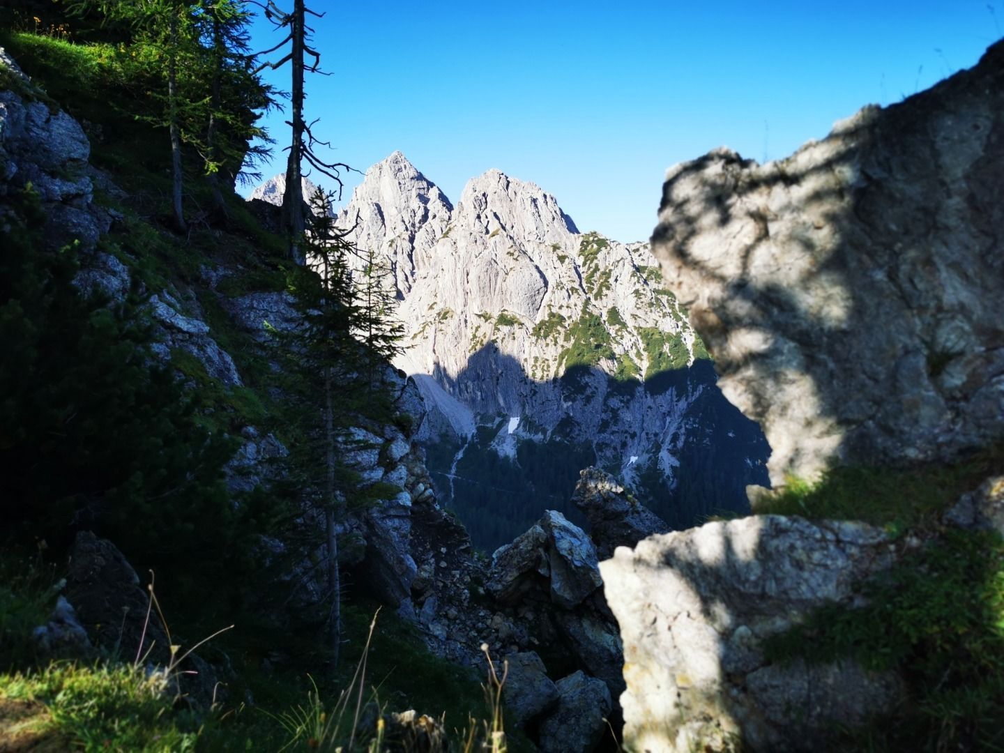
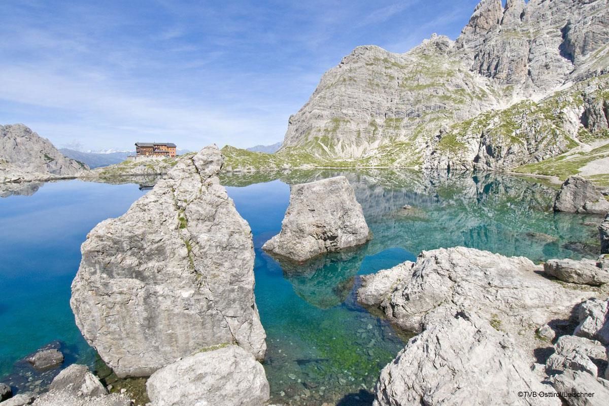
No, this is not Sardinia or Malta. This beautiful spot lies in the middle of the Lienz Dolomites at an altitude of 2,260 meters. The Karlsbader Hütte is enthroned on a rocky plateau directly on the water above the crystal-clear Lake Laserzsee

Tour character

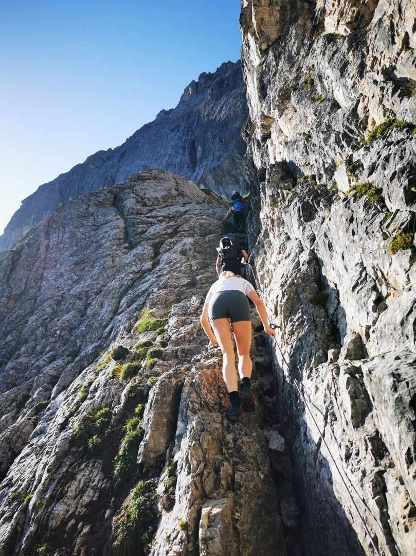
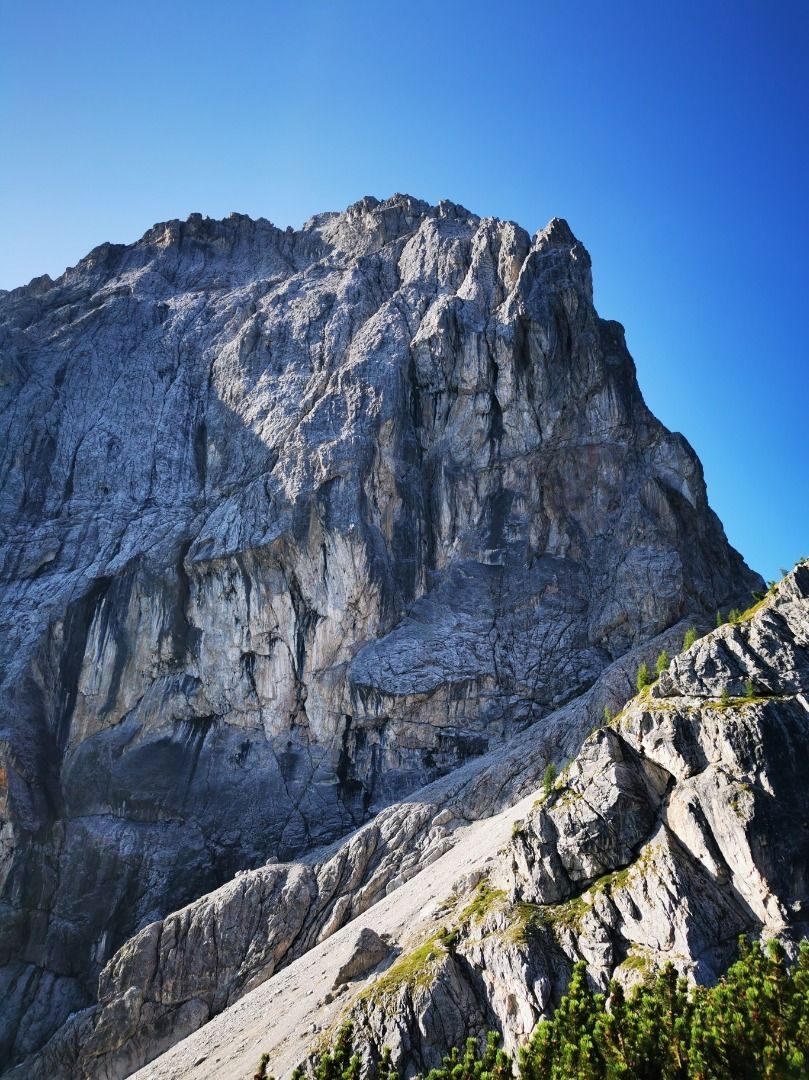
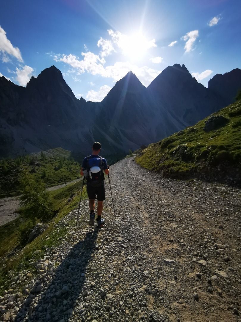
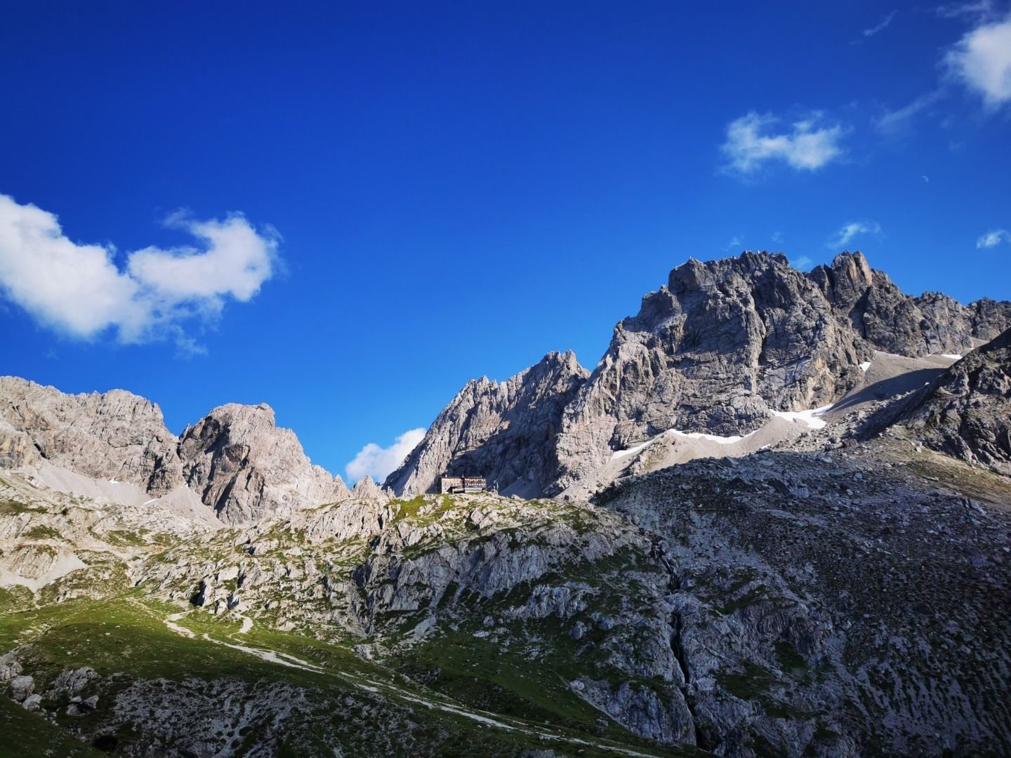
From the parking lot of the Dolomitenhütte, this challenging tour leads over rope-secured rock passages and steep scree slopes to the Hohe Törl (2,098 m) and on to the Karlsbader Hütte. Sure-footedness is particularly important on the scree-laden ascent. The impressive backdrop of the Laserzwand and the proximity to via ferratas make the route varied and exciting. The way back is relaxed along a wide road, which can be shortened by climbing.
Tour information

  • Requirement: medium
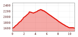
  • Length: 10.8 km
  • Duration: 4:00 h
  • Elevation uphill:780 hm
  • Elevation downhill:780 hm
Highest point2,260 m

Starting point

Parkplatz Dolomitenhütte

Finishing point

Parkplatz Dolomitenhütte 1.610m
  • Fitness level 4 / 6
  • Technique 4 / 6

Features

  • Circular route

Best time of year

  • January
  • February
  • March
  • April
  • May
  • June
  • July
  • August
  • September
  • October
  • November
  • December
Source: TVB Osttirol

Description

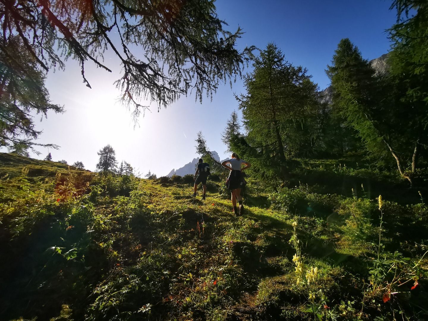
At the car park of the Dolomitenhütte, the trail leads immediately up to the left, across a meadow. After the short forest section, the first rope-secured section over rocky terrain begins. It is quite easy to do, even without a via ferrata set. After the ridge you come to the Weißsteinalm (no food service) and follow the signs across the moderately steep alpine meadow. After about an hour's walk, the challenging part of the hike begins. After the Auerlingköpfl, the trail leads over rope-secured rock passages to a scree gully below the Laserzwand. The steeply ascending path leads in several serpentines to the Hohe Törl (2.098m). This area is very rutted and requires surefootedness (danger of falling rocks from hikers ahead). After the Törl, the trail descends slightly and passes many climbing and via ferrata entrances. After the Laserzwand, the trail rejoins the wide road. After about 2.5h you reach the Karlsbader Hütte.
The way back is via the gravelled road. This can be shortened via several paths (follow the signs to the Dolomitenhütte).

Nearby huts and mountain restaurants

Weather

Today

partly Cloudy
19°C/10°C
55%0.5l5 km/h

Sat

clear sky
23°C/8°C
0%0l5 km/h

Sun

clear sky
24°C/8°C
25%0.6l5 km/h

More tours in the surrounding area

  • Venediger altitude trail

    Difficulty:difficult
    Length:55.5 kmDuration:27:00 hElevation uphill:3,975 m
  • Figerhorn

    Difficulty:difficult
    Length:6.6 kmDuration:6:00 hElevation uphill:811 m
  • Theme path "Virgen crossroads"

    Difficulty:easy
    Length:3.2 kmDuration:1:00 hElevation uphill:104 m
  • Lasörling altitude trail

    Difficulty:medium
    Length:55.4 kmDuration:25:00 hElevation uphill:3,718 m
  • Muhs panorama trail

    Difficulty:medium
    Length:15.2 kmDuration:6:00 hElevation uphill:1,090 m
  • Herz-Ass Villgratental

    Difficulty:medium
    Length:75.6 kmDuration:34:00 hElevation uphill:5,703 m
  • Children's mile Golzentipp

    Difficulty:easy
    Length:3.7 kmDuration:2:00 hElevation uphill:140 m
  • Hike to Kalser Tauernhaus

    Difficulty:medium
    Length:12.2 kmDuration:4:00 hElevation uphill:244 m
  • Iseltrail

    Difficulty:medium
    Length:75.3 kmDuration:24:30 hElevation uphill:2,347 m
  • Trail Virgentaler Sonnseitenweg

    Difficulty:medium
    Length:41.9 kmDuration:19:00 hElevation uphill:2,641 m
  • Badener Hütte

    Difficulty:difficult
    Length:23.2 kmDuration:12:00 hElevation uphill:1,754 m
  • Lucknerhaus - Stüdlhütte

    Difficulty:medium
    Length:9.3 kmDuration:4:30 hElevation uphill:862 m
  • Hike to Neuen Reichenberger Hütte

    Difficulty:medium
    Length:18.2 kmDuration:9:00 hElevation uphill:1,252 m
  • Hiking tour to St. Pöltner Hütte and 3 lakes

    Difficulty:difficult
    Length:14.8 kmDuration:7:40 hElevation uphill:1,119 m
  • Hike to the Venedigerhaus Innergschlöß

    Difficulty:easy
    Length:8.6 kmDuration:2:30 hElevation uphill:184 m
  • Hiking tour to Neue Sajathütte 2.600m

    Difficulty:medium
    Length:10.3 kmDuration:6:50 hElevation uphill:1,086 m
Newsletter

The mountain is calling? So does our newsletter!

In our monthly newsletter we reveal the best holiday tips for Tyrol.