
Opening hours:Open today
Place:Matrei in Osttirol
:Alpine pasture / hut / mountain restaurant
Whether you come from Gruben or Felbertauern, the ascent to the Badener Hütte is always long and strenuous. The number of people making the journey is correspondingly small, which is why you can usually enjoy the high alpine landscape with its impressive views of the eternal ice of the Frosnitzkees in glorious silence.
This challenging circular tour leads through the impressive Frosnitz Valley of the Hohe Tauern National Park. The ascent begins at a leisurely pace, but becomes steeper the closer you get to the Obere Katalalm and the start of the Gaßla-Anda trail. The historic path leads past the Auerlacke and the dilapidated Knappenhaus before the final ascent to the Badener Hütte begins. The circular tour requires surefootedness, a head for heights and a good level of fitness.
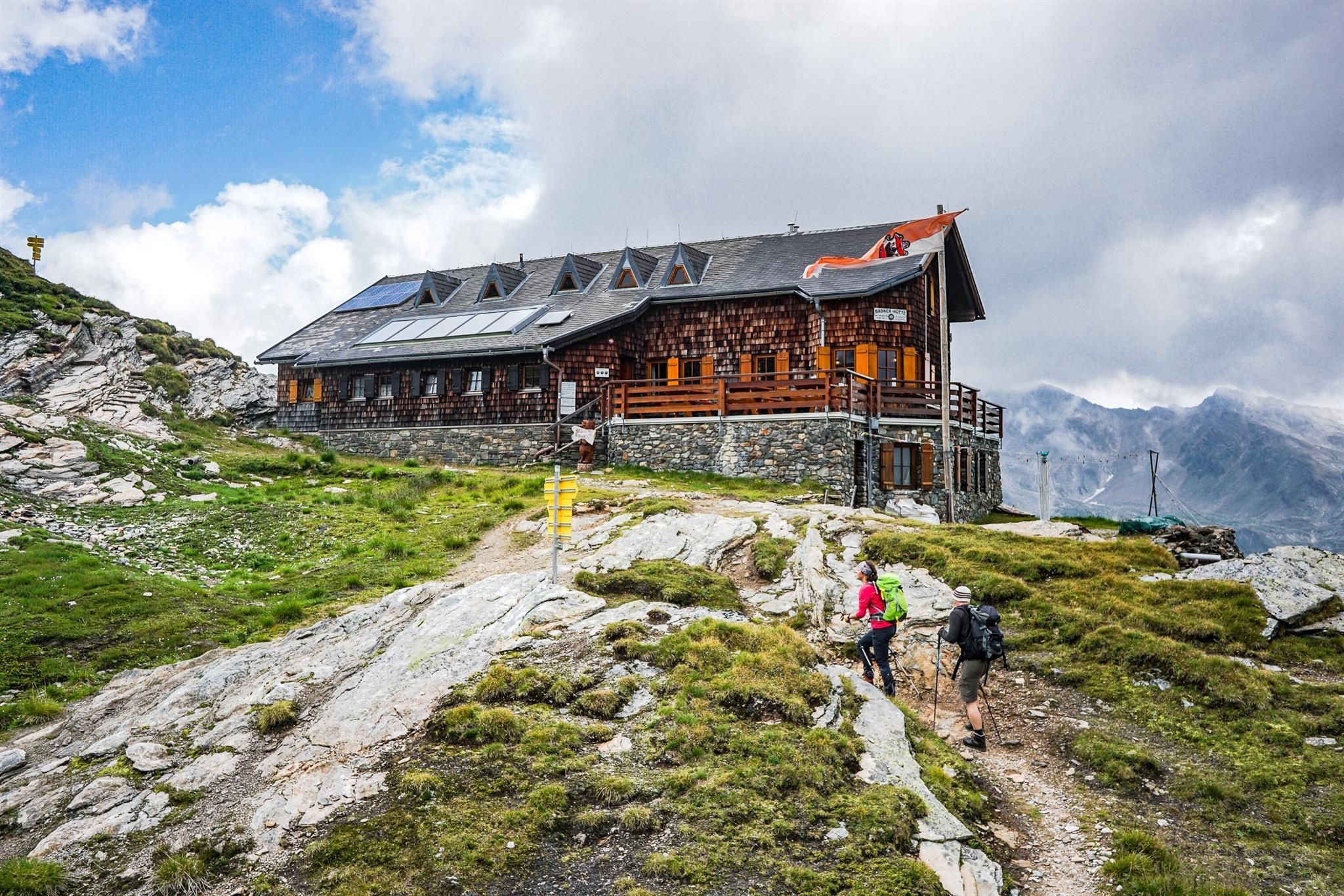
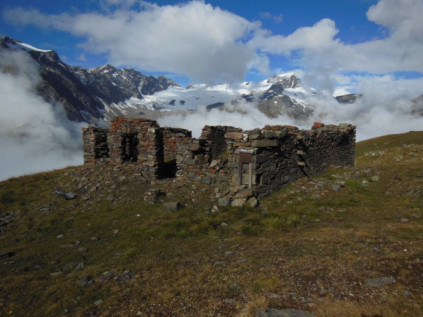
This challenging hiking tour starts at the bus station Gruben. From here, follow the path no. 921 into Frosnitztal Valley. Walk down the driveway, which later becomes very steep and leads to Untere Katalalm. The shortest way is the path no. 922, which starts on the left hand. If you want to do the round course, you follow the path no. 61 on the right to Obere Katalalm. This is where the actual Gaßla-Anda-Weg begins. Behind the Auerlacke, this path leads to the slopes of Schafalm in the west. At unchanged gradient, the path leads to the derelict Knappenhaus (miners’ house). On towards the north, zig zag down the slope and walk on until you get to the bridge across Löbbenbach Stream. Here is where the winding ascent to Badener Hütte begins. Once you have arrived up there, you can enjoy the magnificent panoramic view onto the national park’s mountains.
To climb back down, you first walk about 300 metres down and take the right branch at the bifurcation. Cross two streams until you get to Lake Achselsee and walk on to the Steinsteg (stone bridge) to cross Frosniztbach Stream. The path alongside the stream leads you out of the valley, passing by Zedlacher- and Mitteldorfer Alm. Due to the deep and narrow topographical depressions along the stream’s course, you will have to master a short ascent before you follow the course via Katalalm that you already know back to Gruben.
Matrei in Osttirol Abzweigung Gruben


")


.jpg")
.jpg")
.jpg")
.jpg")
.jpg")


")
")
.jpg")


.jpg")
 Mirja Geh (26).jpg")
