
:Alpine pasture / hut / mountain restaurant

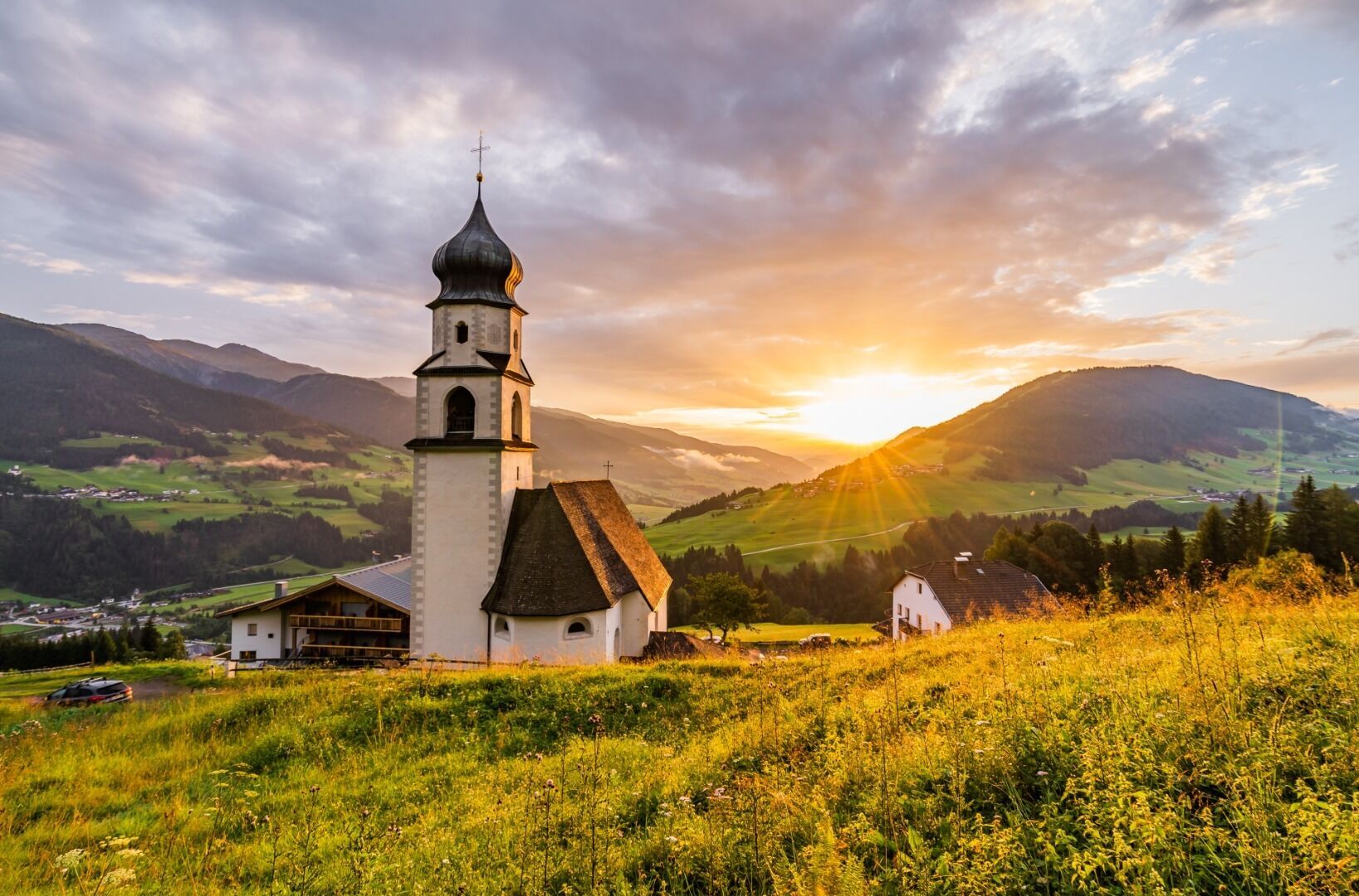
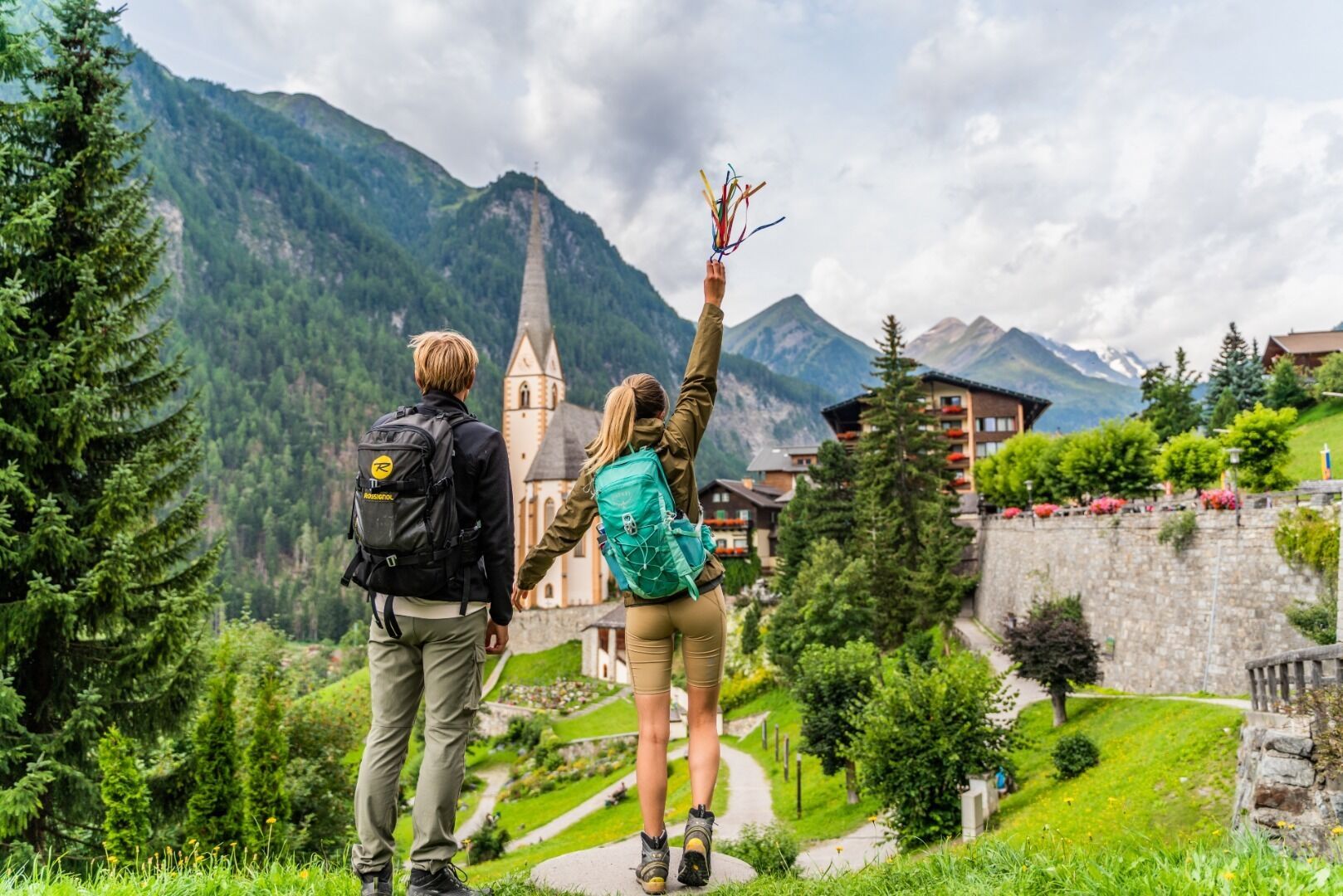
We promise: you won’t find another pilgrimage route quite like this one. Starting in Lavant, East Tyrol, the route takes you along ancient pilgrimage trails, past places of pilgrimage, chapels, and sacred sites, through Innichen in South Tyrol, all the way to Heiligenblut in Carinthia.
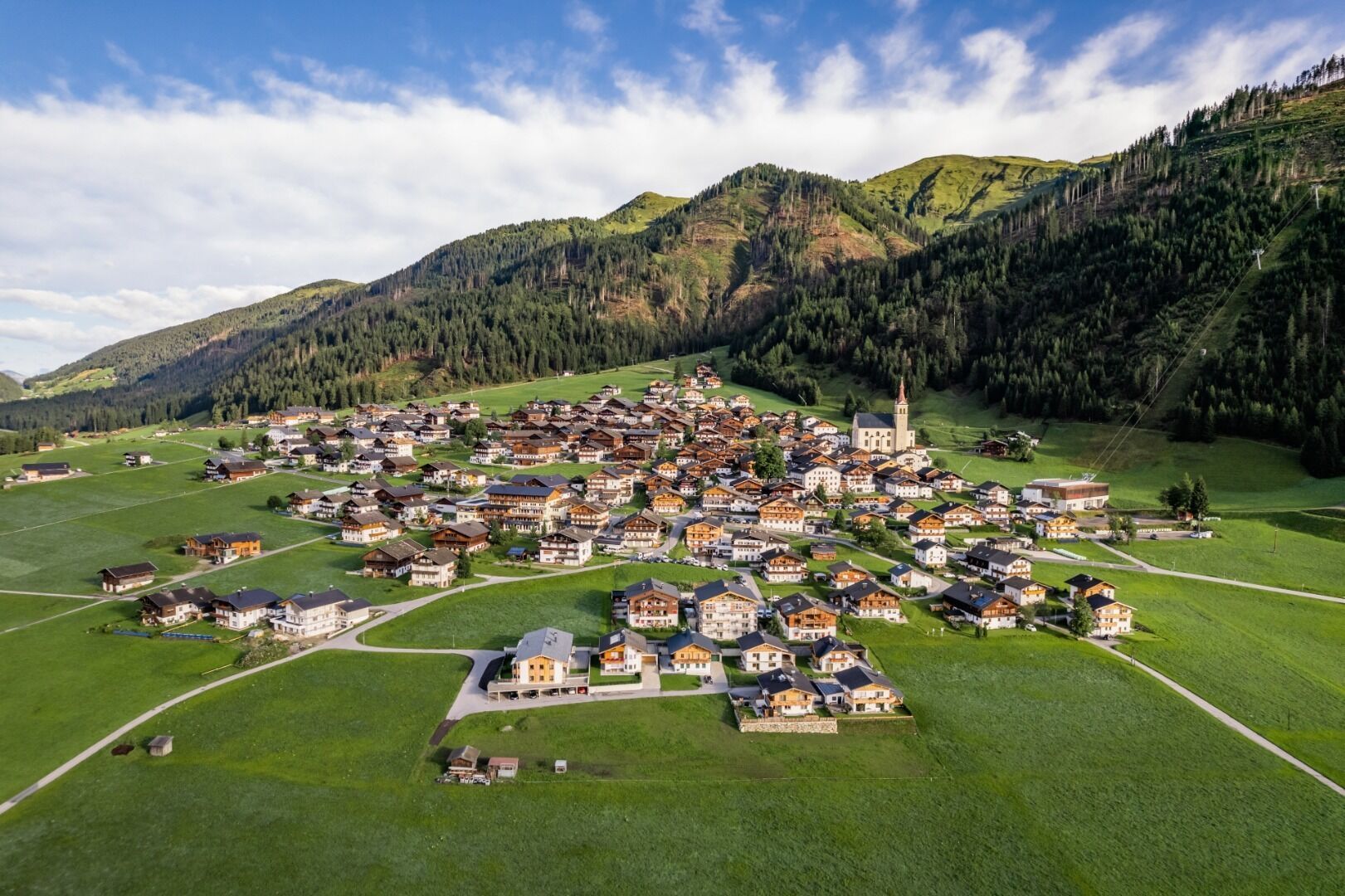
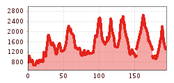
Spanning nine stages and a total of 191 kilometers, it leads from Lavant—southeast of Lienz—in a wide arc through the Upper Puster Valley in South Tyrol, the Villgraten Valley, the Defereggen Valley, the Virgen Valley, Matrei, and Kals am Großglockner to Heiligenblut in the Möll Valley in Carinthia. Hikers often follow the route along quiet trails, passing places of spiritual renewal, across idyllic alpine pastures, and over high-alpine passes. Most stages are between 20 and 25 kilometers long and, with some involving more than 1,700 meters of elevation gain, are physically very demanding. For those who find all nine stages too much, it’s also possible to customize your own route, as each stage is an experience in its own right.

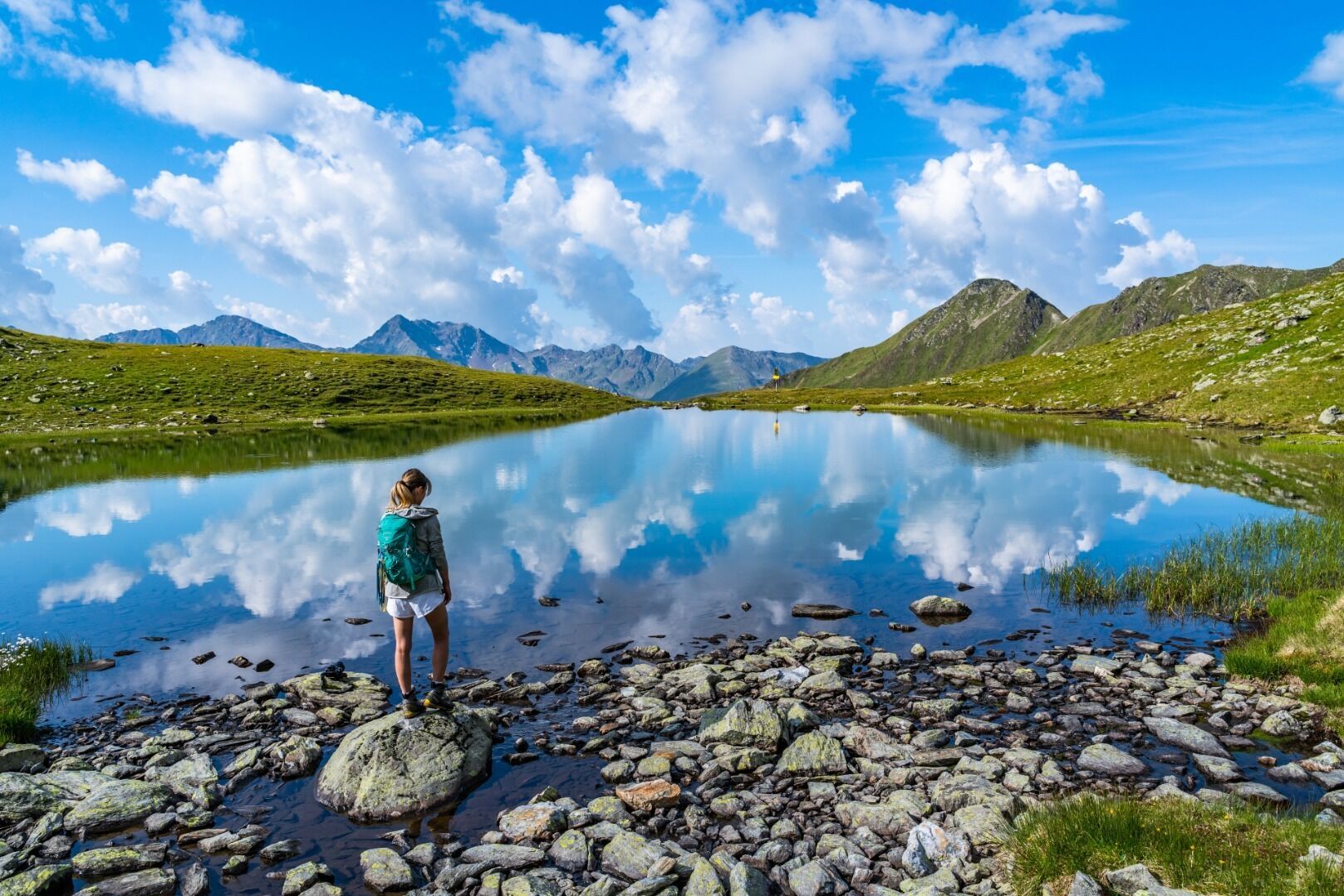
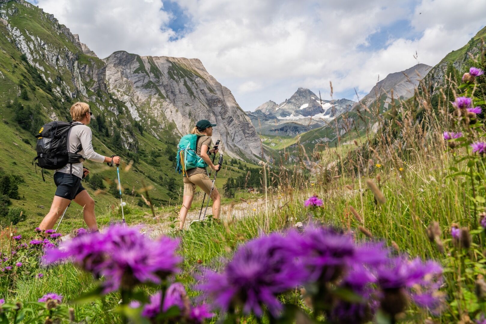
Basic equipmentformountainhikingincludessturdy hiking bootswith a goodtread, a 30-35 literbackpack, and functionalclothingbased on thelayeringprinciple, includingsufficient spare clothes. Essential itemsare rain, cold, and sunprotection, adequatefluids and food, aswellas a first-aid kit and a charged mobile phone. A mapor a GPS devicesupportsorientation.
The informationservesas a guideline and does not claimtobe exhaustive. Equipment mustalwaysbeadaptedtothe planned route, weatherconditions, season, naturalhazards, environmental influences, and personal needs.
“Hoch & Heilig.” The name says it all for the
mountain pilgrimage route through Osttirol and the border-near pilgrimage sites in Carinthia and
South Tyrol. The route connects centuries-old pilgrimage sites, pilgrimage churches,
and chapels across nine stages. It largely follows original pilgrimage routes and
is thus on the trail of spiritual, historical, and cultural treasures
.
The “High” stands for the ascents and for the uplifting experience on
this pilgrimage route. The nine stages cover 10,475 meters of elevation gain and loss
through the high-alpine mountain landscape of Osttirol, South Tyrol, and Carinthia.
High-alpine hiking experience as well as excellent endurance and fitness are
required. The “Holy” stands for the search for salvation, healing, and the
encounter with the sacred. For centuries, people have carried their sorrows and suffering,
their pleas and thanks, to pilgrimage churches and before God.
Mit dem Bus bis zur Bushaltestelle "Lavant Ort".
Mit dem Auto von Lienz übe Tristach bis nach Lavant.
Parkplatz Gemeindeamt Lavant


