Description
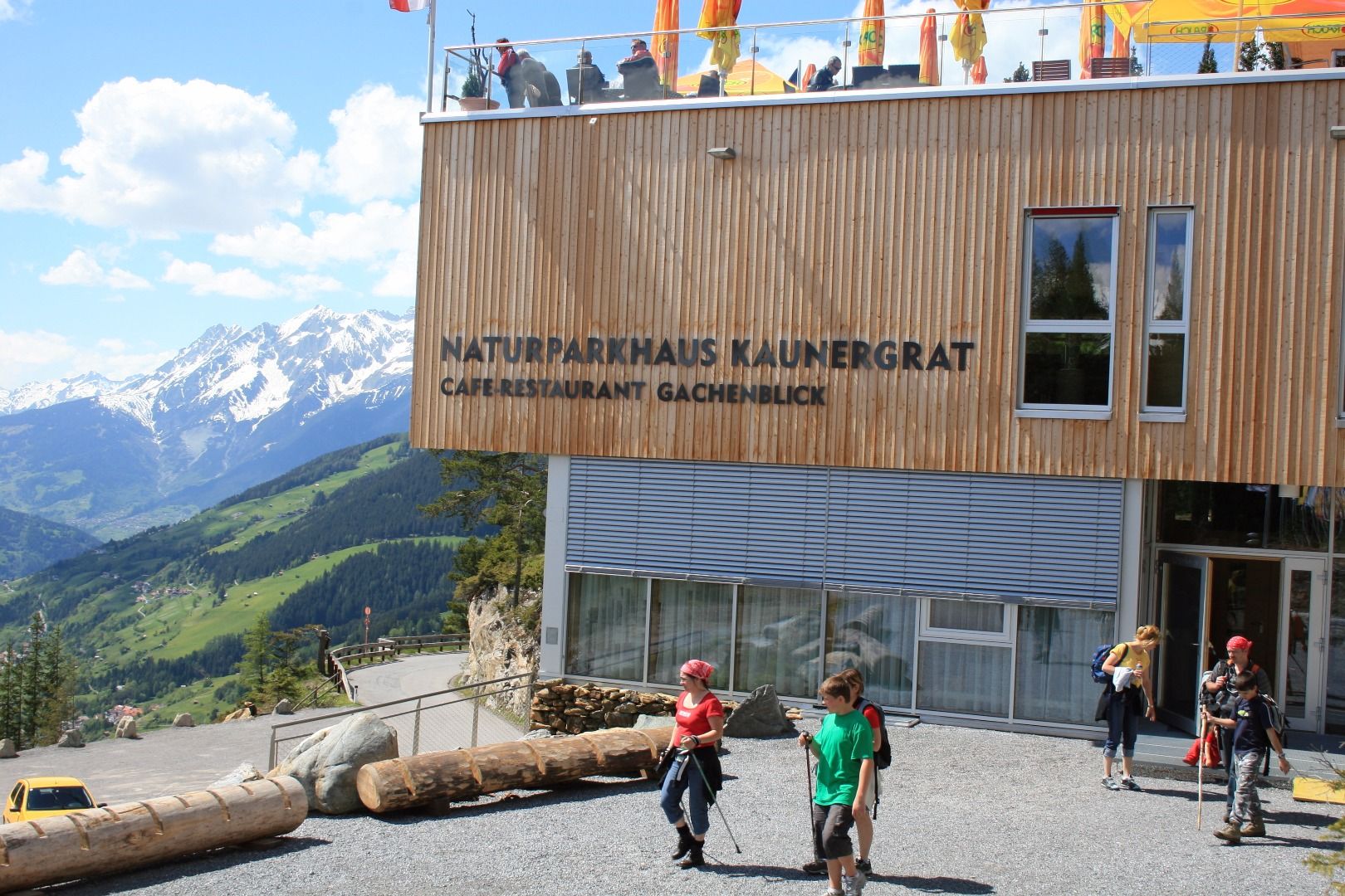
DAY 1:NATURE PARK CENTRE AT GACHENBLICK – VERPEILHÜTTE
Hiking distance:ca. 20 km
Elevation gain ascent: ca. 1,400 m
Elevation gain descent:ca. 950 m
Hiking time:NP Centre – Aifner Alm1.5 hrs
Aifner Alm – Falkaunsalm2.5 hrs
Falkaunsalm – Gallruttalm1 h
Gallruttalm – Verpeilhütte4 hrs
Total hiking time:9 hrs
Overnight stay:Verpeilhütte
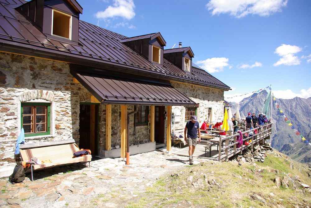
Sights:Along the Dr Angerer high-level trail with magnificent views of the striking mountain silhouette of the Small and Large Dristkogel peaks and the Gsallkopf peak. The wild and romantic Verpeilhütte.
Difficulty:average/red mountain path
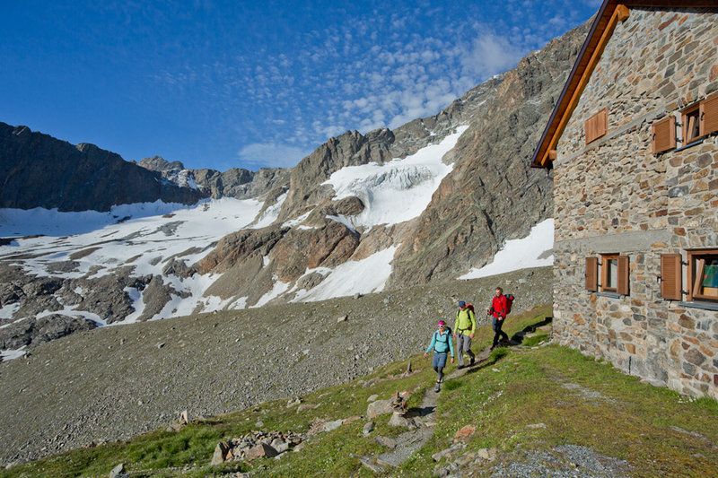
DAY 2:VERPEILHÜTTE – KAUNERGRATHÜTTE
Hiking distance:ca. 5 km
Elevation gain ascent:ca. 1,100 m
Elevation gain descent:ca. 250 m
Hiking time:Verpeilhütte – Madatschjoch3.5 hrs
Madatschjoch – Kaunergrathütte1 h
Total hiking time:4.5 hrs
Overnight stay:Kaunergrathütte
Sights:Aperes Madatschjoch [ridge] on over 3,000 m and first view of the Watzenspitze peak with its hanging glacier.
Difficulty:hard/black mountain path
DAY 3:KAUNERGRATHÜTTE – TIEFENTALALM / NEUBERGALM
Hiking distance:ca. 13 km
Elevation gain ascent:ca. 800 m
Elevation gain descent: ca. 1,600 m
Hiking time:Kaunergrathütte – Steinbockjoch0.5 hrs
Steinbockjoch – Mittelberglesee2 hrs
Mittelberglesee – Neururer Berg1 h
Neururer Berg – Arzler Alm3 hrs
Arzler Alm – Tiefentalalm1 h
Total hiking time:7.5 hrs
If staying overnight at Piösmes the same hiking time applies as if staying overnight at Tiefentalalm.
If staying overnight at Neubergalm add 1 h to overall hiking time: 8.5 hrs.
Overnight stay:Tiefentalalm or Neubergalm or accommodation in Piösmes.
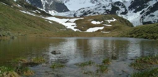
Sights:The beautiful Mittelberglesee [lake] has a rare turquoise colour and the beautiful high-level trail with panoramic views of the Hohe Geige peak and the Glaciers of Pitztal and Ötztal.
Difficulty:hard/black mountain path
DAY 4:TIEFENTALALM / NEUBERGALM – SÖLLBERGALM (accommodation in Wiese)
Hiking distance:ca. 8.7 km
Elevation gain ascentca. 860 m
Elevation gain descent: ca. 870 m
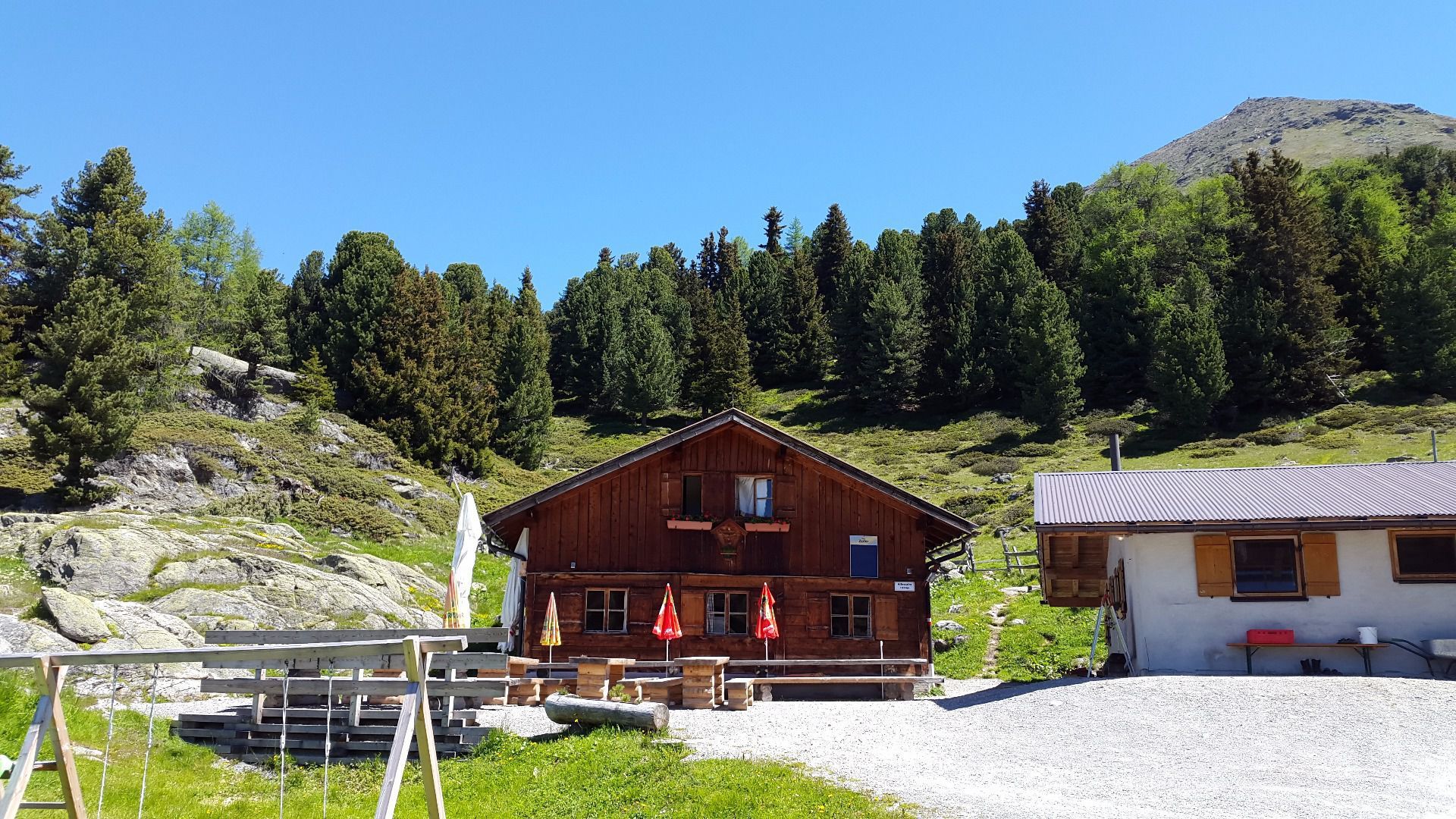
Hiking timeTiefentalalm – Neubergalm1 h
Neubergalm – Mauchele Alm3 hrs
Mauchele Alm – Söllbergalm (no accomodation)1 h
Total hiking time:5 hrs
If staying overnight at Piösmes add 1 h ascent to Tiefentalalm.
If staying overnight at Neubergalm, hiking time to Söllbergalm only 4 hrs.
Descent to Wiese (district of St Leonhard), add ca. 1.5 hrs.
Transport from Söllbergalm to Wiese with Taxi Kirschner (+43 664 1448620)
Cost each way 50 Euros for 4 people; 10 Euros per person for more than 4 people.
Overnight stay:Accommodation providers in Wiese.
Sights:Ideal stopping place for a break below the Stallkogel peak with beautiful panoramic views of Pitztal’s Glacier world.
Difficulty:average/red mountain path
DAY 5: BELOW SÖLLBERGALM – NATURE PARK CENTRE AT GACHENBLICK
Hiking distance:ca. 16 km
Elevation gain ascent:ca. 1,300 m
Elevation gain descent:ca. 1,300 m
Hiking time:Below Söllbergalm – Strassbergalm Alm2 hrs
Strassbergalm – Kreuzjoch2.5 hrs
Kreuzjoch – Kielebergalm1.5 hrs
Kielebergalm – NP Centre1.5 hrs
Total hiking time:7.5 hrs
Transport from your accommodation in Wiese to a place below the Söllbergalm with Taxi Kirschner (+43(0)664 1448620) Cost each way 50 Euros for up to 4 people; 10 Euros per person for more than 4 people.
If you are not taking a taxi from Wiese to the place below the Söllbergalm, expect a hiking time of 1.5 hrs and 400 metres elevation gain.
Overnight stay:Piller or Wenns or departure
Sights:Fantastic viewpoint at Kreuzjöchl with deep views into the lower Pitztal valley.
Difficulty:average/red mountain path