Mountain hikes Talweg Matrei i. O.

Matrei in Osttirol / Venediger Group
Difficulty ratings: medium
Route length: 15.3 km
Duration: 4:50 h

Talweg Matrei i. O.

Tour information

  • Requirement: medium
  • Length: 15.3 km
  • Duration: 4:50 h
  • Elevation uphill:397 hm
  • Elevation downhill:398 hm
Highest point1,151 m

Starting point

Rauterplatz

Finishing point

Rauterplatz
  • Fitness level 3 / 6
  • Technique 3 / 6

Features

  • Circular route
  • Suitable for families

Best time of year

  • January
  • February
  • March
  • April
  • May
  • June
  • July
  • August
  • September
  • October
  • November
  • December

Trail condition

Tarmac, Gravel
Source: TVB Osttirol

Description

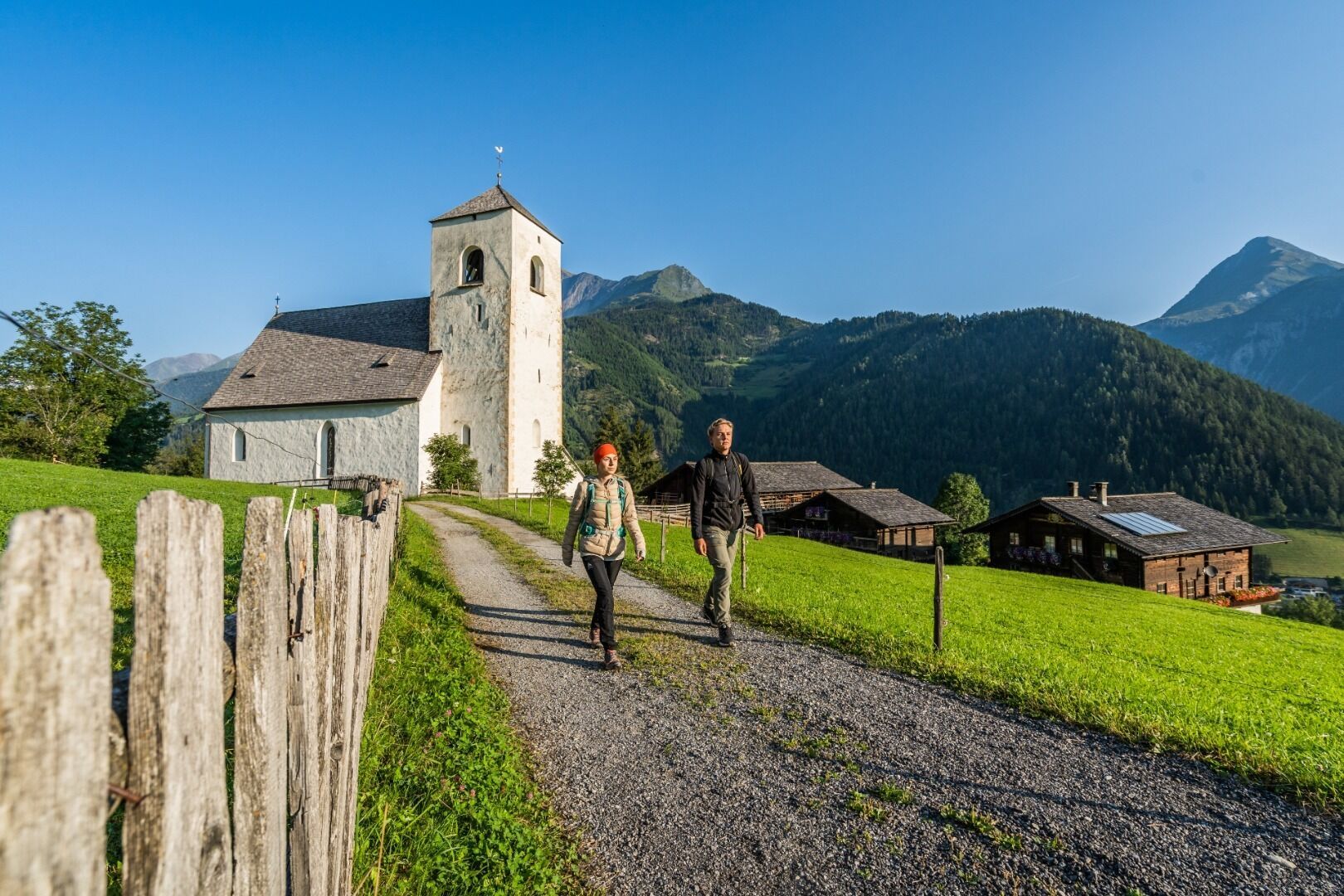
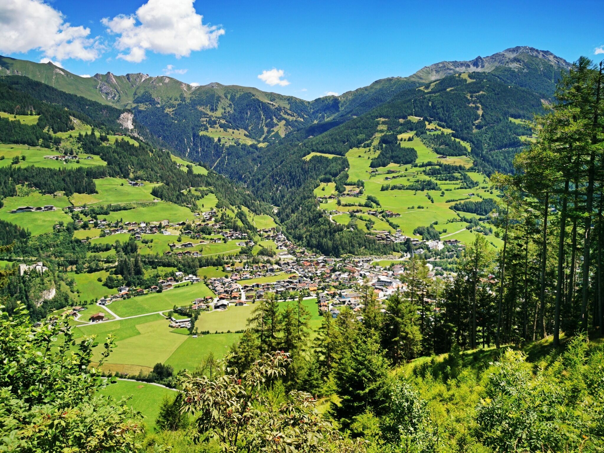
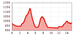
The Talweg in Matrei in Osttirol is an easy to moderate difficult hike, which you can either do in one go or in individual stages. You can complete the almost 15 kilometre route in approx. 4h30min. The starting point is Rauterplatz in the centre of Matrei i. O. Travelling by public transport? No problem, the Korberplatz bus stop is just a 5-minute walk from Rauterplatz. There are also several bus stops along the way if you run out of breath. 

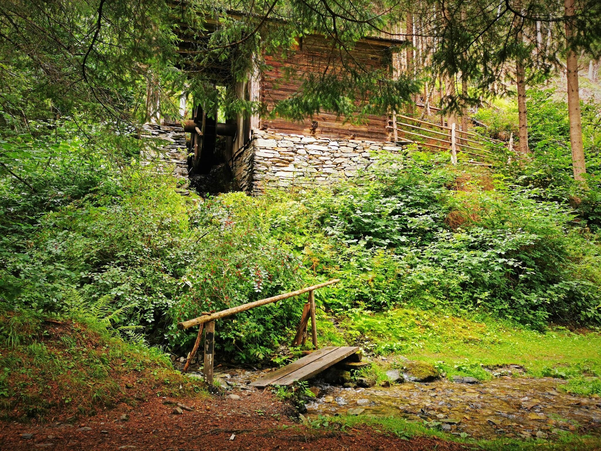
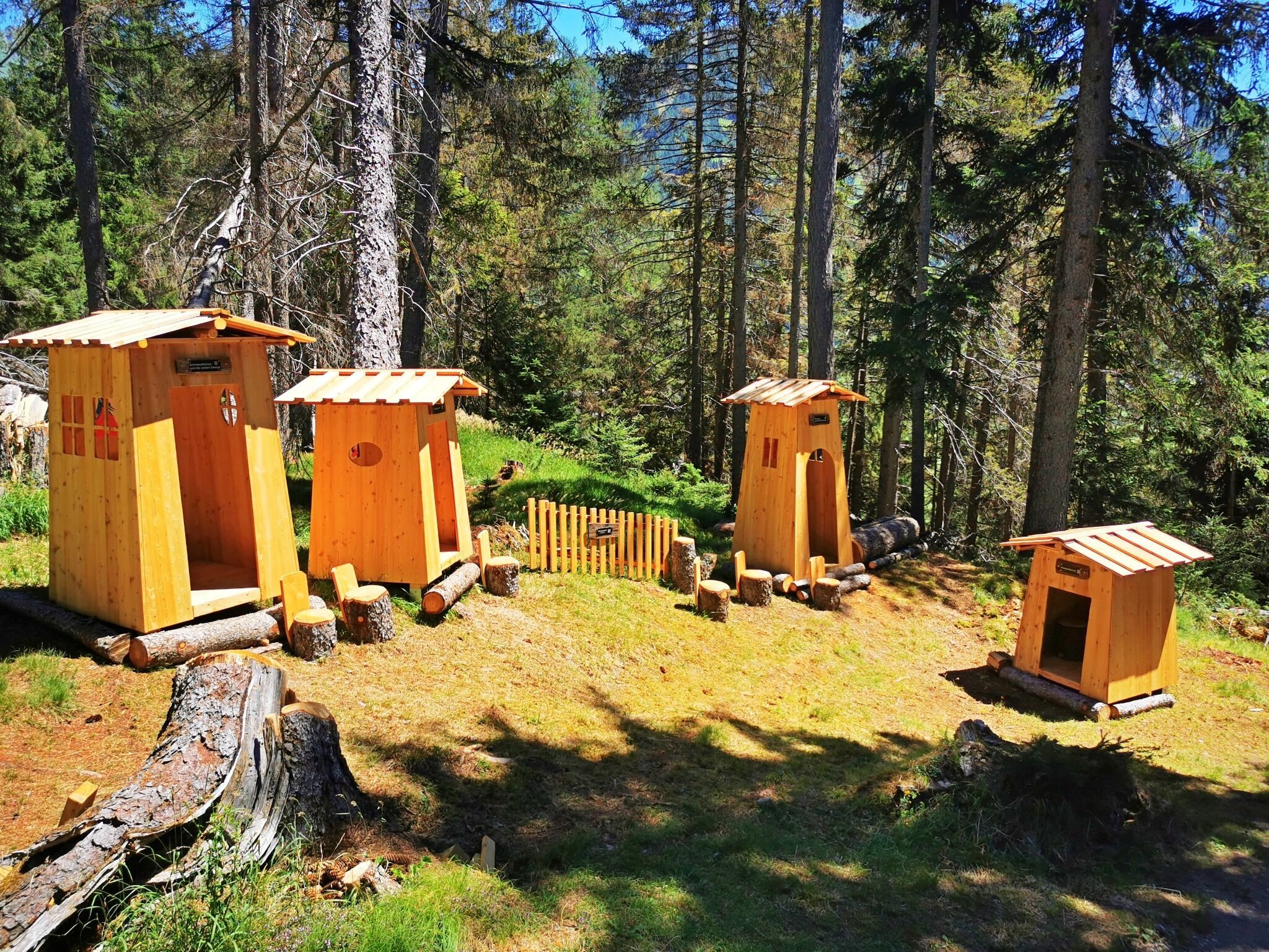
Lotti the sheep accompanies little hikers along the trail and rewards you - after solving the riddle - with a little surprise, which you can pick up at the Matrei i. O. tourist information centre. The information pillars show you historical photos of the Tauern community and tell you exciting stories from days gone by. 

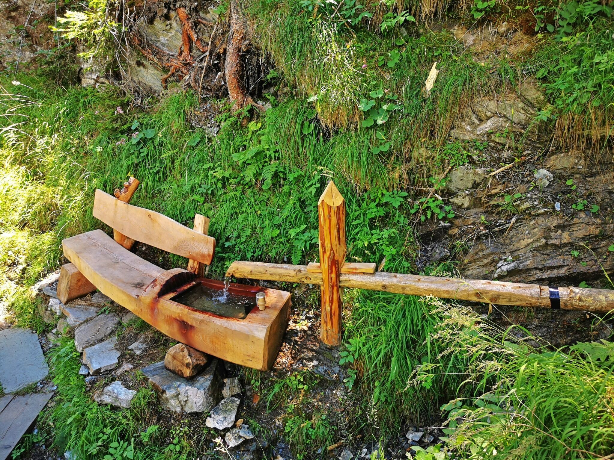
An easy, varied hike with many interesting stops awaits you - discover the valley trail, discover Matrei i. O.!

The passage via the Thiemeweg is only recommended for experienced hikers who are sure-footed! Alternatively, you can also hike to Auerfeld on the opposite side of the Tauernbach stream.

Getting here

  • Arrival by public transport

    Matrei i. O. Korberplatz

More long-distance hiking trails

  • Iseltrail

    Difficulty:medium
    Length:75.3 kmDuration:24:30 hElevation uphill:2,347 m
  • Trail Virgentaler Sonnseitenweg

    Difficulty:medium
    Length:41.9 kmDuration:19:00 hElevation uphill:2,641 m
  • EUREGIO Marien-Weg-M7

    Difficulty:easy
    Length:50.8 kmDuration:15:20 hElevation uphill:984 m
  • Glockner Crown

    Difficulty:medium
    Length:64.2 kmDuration:31:00 hElevation uphill:4,104 m
  • Lasörling trek

    Difficulty:medium
    Length:32.5 kmDuration:15:00 hElevation uphill:2,562 m
  • Schober trek

    Difficulty:medium
    Length:32.9 kmDuration:30:00 hElevation uphill:3,262 m
  • Der Große Törlweg

    Difficulty:medium
    Length:29.5 kmDuration:22:30 hElevation uphill:3,558 m
  • Lasörling altitude trail

    Difficulty:medium
    Length:55.4 kmDuration:25:00 hElevation uphill:3,718 m
  • Venediger altitude trail

    Difficulty:difficult
    Length:55.5 kmDuration:27:00 hElevation uphill:3,975 m
  • Karwendelmarsch 52 km

    Difficulty:medium
    Length:53.5 kmDuration:19:00 hElevation uphill:2,180 m
  • Großglockner trek

    Difficulty:difficult
    Length:86.1 kmElevation uphill:7,209 m
  • Gschnitztaler Hüttenstern

    Difficulty:medium
    Length:10.8 kmDuration:4:14 hElevation uphill:538 m
  • Lechtaler Höhenweg

    Difficulty:difficult
    Length:84.5 kmDuration:45:00 hElevation uphill:6,773 m
  • Arlberg Trail

    Difficulty:difficult
    Length:52.1 kmElevation uphill:4,730 m
  • 3-day Family Tour Alpbachtal

    Difficulty:easy
    Length:18.3 kmDuration:7:00 hElevation uphill:998 m
  • 4 days - 4 summits tour

    Difficulty:medium
    Length:54.4 kmDuration:23:00 hElevation uphill:3,408 m
Newsletter

The mountain is calling? So does our newsletter!

In our monthly newsletter we reveal the best holiday tips for Tyrol.