Mountain hikes 01 Premium long-distance hiking trail - High route Paznaun

See / Samnaun Group
Difficulty ratings: medium
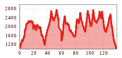
Route length: 138.6 km
Duration: 9 days

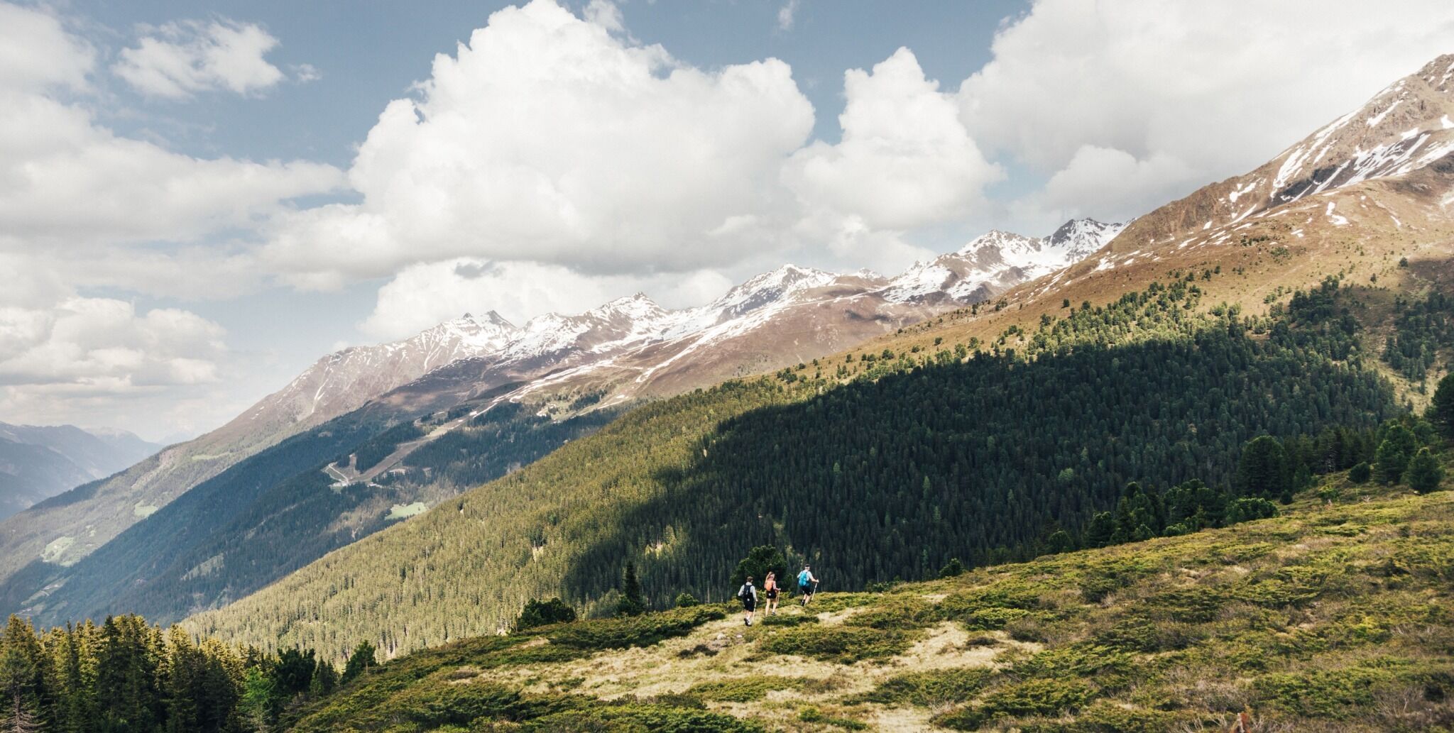
The Paznaun High Trail is a true Eldorado for experienced mountain hikers. With its 9 challenging stages covering 120 kilometers and 11,000 vertical meters, it offers an unforgettable nature experience. In just under 60 hours, you hike through a breathtaking backdrop of high alpine peaks, crystal-clear mountain lakes and green alpine meadows.

Tour character

Both the entire long-distance hiking tour and the individual stages are difficult and run exclusively on black mountain paths. Alpine experience, surefootedness, a head for heights and a very good level of fitness are required.

Tour information

  • Requirement: medium
  • Length: 138.6 km
  • Duration: 9 days
  • Elevation uphill:10,316 hm
  • Elevation downhill:10,344 hm
Highest point2,758 m

Starting point

See Pfarrkirche

Finishing point

See Infobüro
  • Fitness level 6 / 6
  • Technique 3 / 6

Features

  • Multi-day hike

Best time of year

  • January
  • February
  • March
  • April
  • May
  • June
  • July
  • August
  • September
  • October
  • November
  • December
Source: Tourismusverband Paznaun - Ischgl

Description

The High Route starts in See and takes you further into the valley along the alpine terrain high above the villages of Kappl and Ischgl. Once you have reached Galtür, the trail loops back to See along the other side of the valley.

Good to know: The High Route can be done in both directions and in separate sections. At every mountain lodge, there is an access route from and to the valley.

Nearby huts and mountain restaurants

Getting here

More long-distance hiking trails

  • Pilgerweg Prägraten a.G.

    Difficulty:medium
    Length:33.1 kmElevation uphill:2,793 m
  • Karwendel High Trail

    Difficulty:difficult
    Length:70.0 kmDuration:6 daysElevation uphill:4,470 m
  • Karwendel tour

    Difficulty:difficult
    Length:44.2 kmDuration:4 daysElevation uphill:3,955 m
  • Talweg Matrei i. O.

    Difficulty:medium
    Length:15.3 kmDuration:4:50 hElevation uphill:397 m
  • Wilder-Kaiser-Steig - Detour

    Difficulty:difficult
    Length:33.0 kmDuration:16:49 hElevation uphill:2,311 m
  • 3-Tages-Tour Wilder

    Difficulty:difficult
    Length:11.0 kmDuration:4:51 hElevation uphill:1,122 m
  • 3-Tages-Tour Wilder

    Difficulty:difficult
    Length:13.6 kmDuration:7:09 hElevation uphill:694 m
  • The Höfe Trail

    Difficulty:easy
    Length:51.2 kmDuration:10:15 hElevation uphill:1,988 m
  • Two days tour Wilder Kaiser

    Difficulty:difficult
    Length:42.5 kmDuration:15:57 hElevation uphill:2,475 m
  • Two day tour - Höhenweg Zahmer Kaiser

    Opening hours:open
    Difficulty:medium
    Length:30.0 kmDuration:13:15 hElevation uphill:2,100 m
  • EUREGIO Mary Way-M1

    Difficulty:medium
    Length:84.1 kmDuration:25:01 hElevation uphill:2,238 m
  • Arlberg Trail

    Difficulty:difficult
    Length:52.1 kmElevation uphill:4,730 m
Newsletter

The mountain is calling? So does our newsletter!

In our monthly newsletter we reveal the best holiday tips for Tyrol.