Description
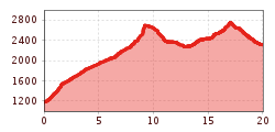
From the valley station of Diasbahn cable car, follow the signpost towards Samnaun, passing
by Rotwegkapelle chapel and continuing on the uphill trail through the dense forest. Via
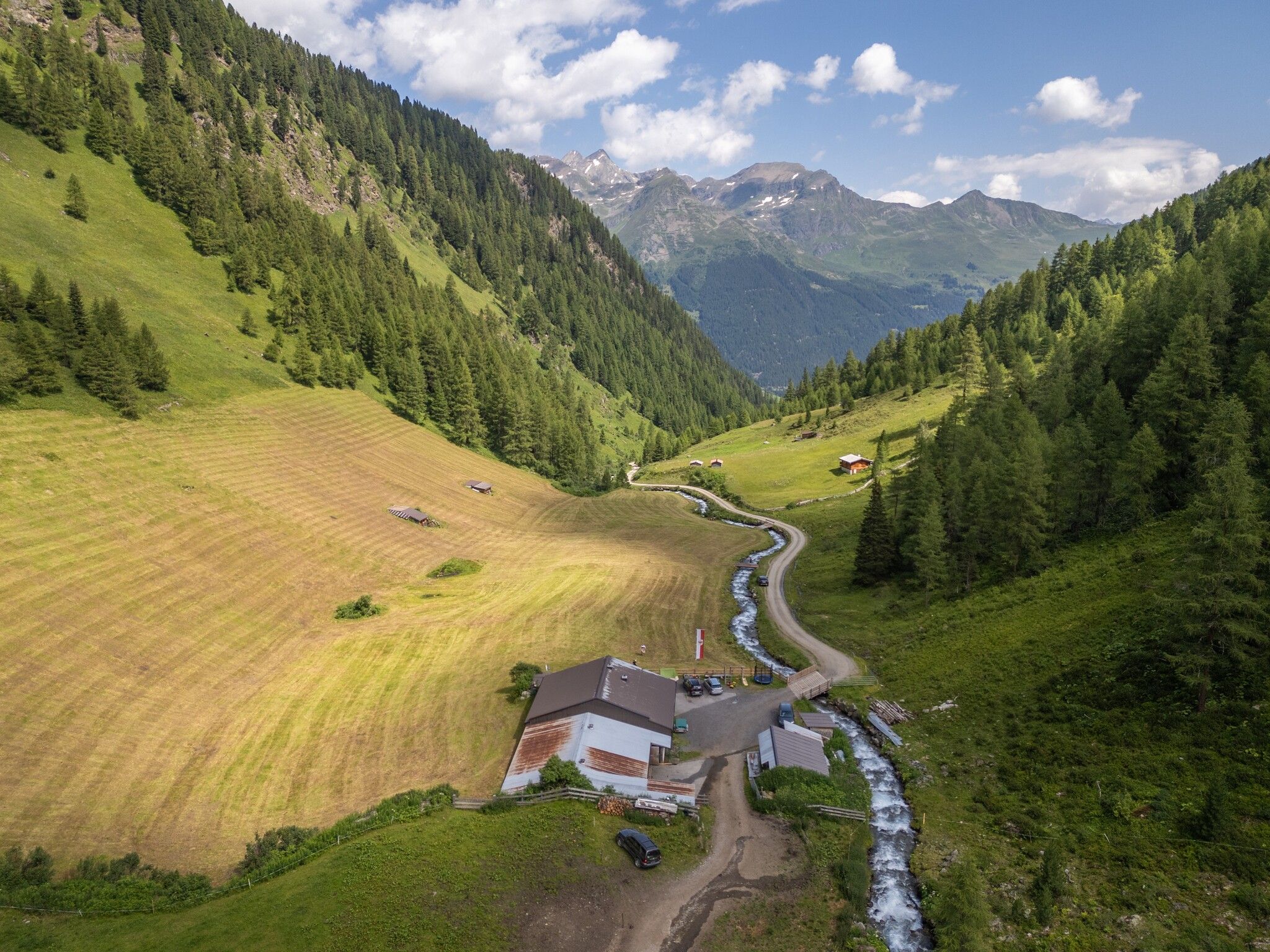
several shortcuts and smaller trails you get to Visnitz Alpe at 1,825 metres above sea level.
Further down the valley, the footpath branches off, and the actual “Smugglers’ Circuit” begins.
Back in the days, trails like these were used to smuggle valuable goods from the neighbouring
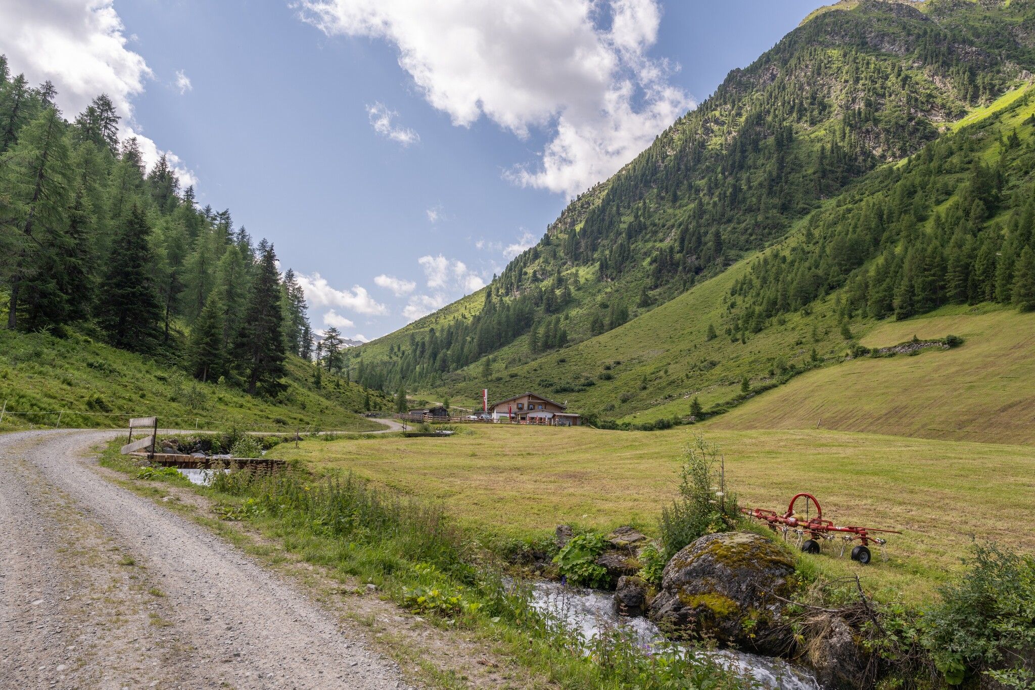
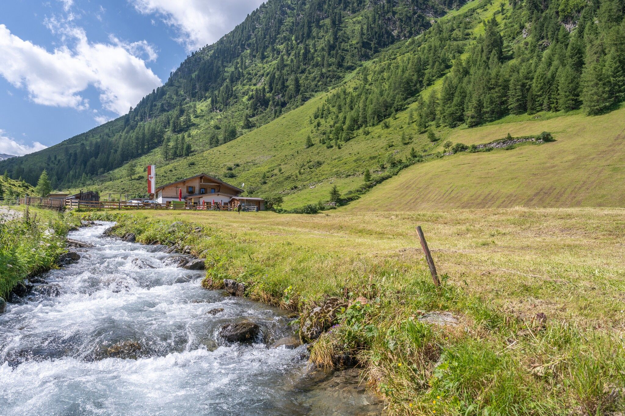
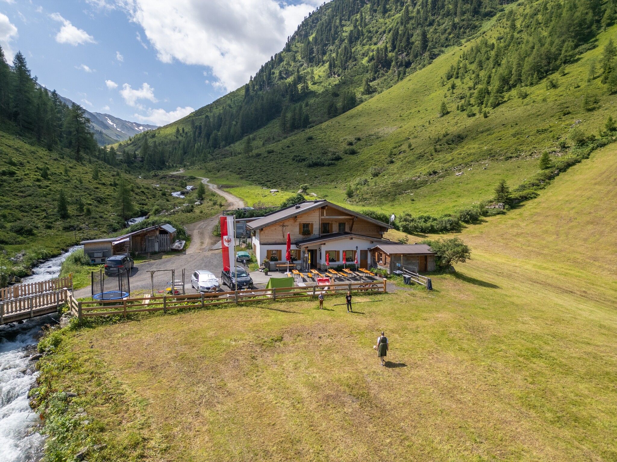
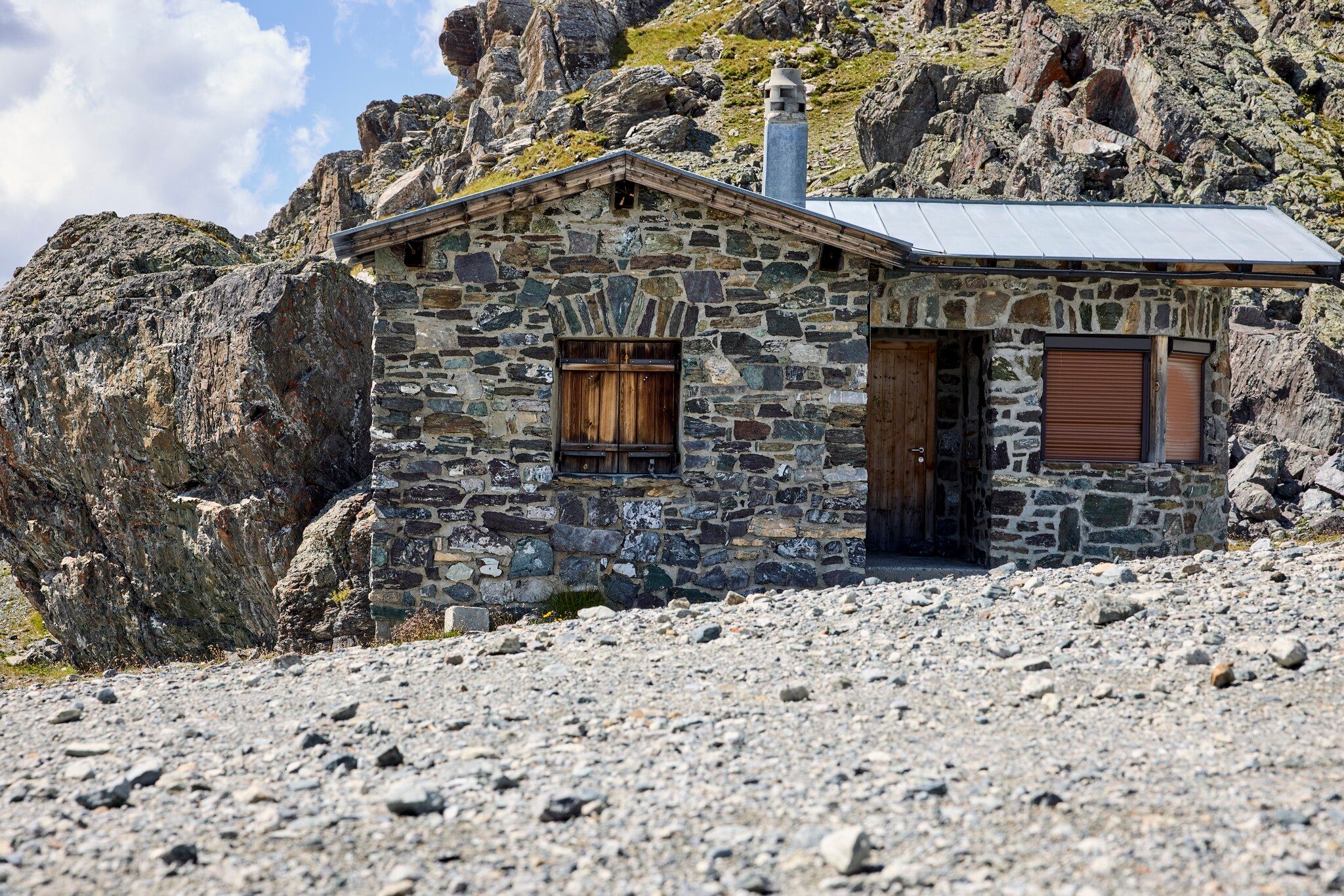
Samnaun (Switzerland) to the Paznaun valley. Towards the end of Visnitz valley, you can find
the Untere Zollhütte and, a little further still, the Obere Zollhütte. From there, a very narrow and
steep trail runs to the eastern Visnitzjoch at 2,694 metres above sea level.
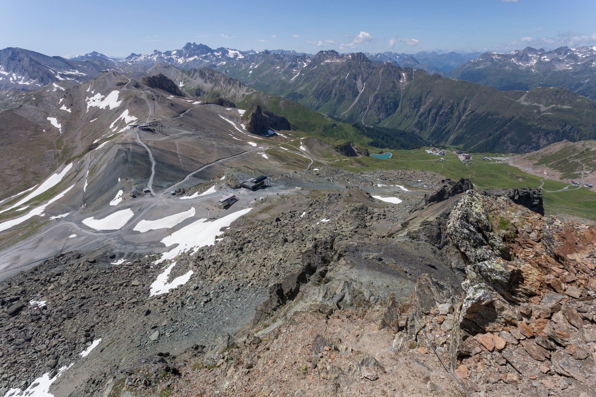
From the eastern Visnitzjoch, the trail leads down to Switzerland, and you continue along a path
that runs above Alp Bella at 2,380 metres above sea level, taking you around Mullersattel, past
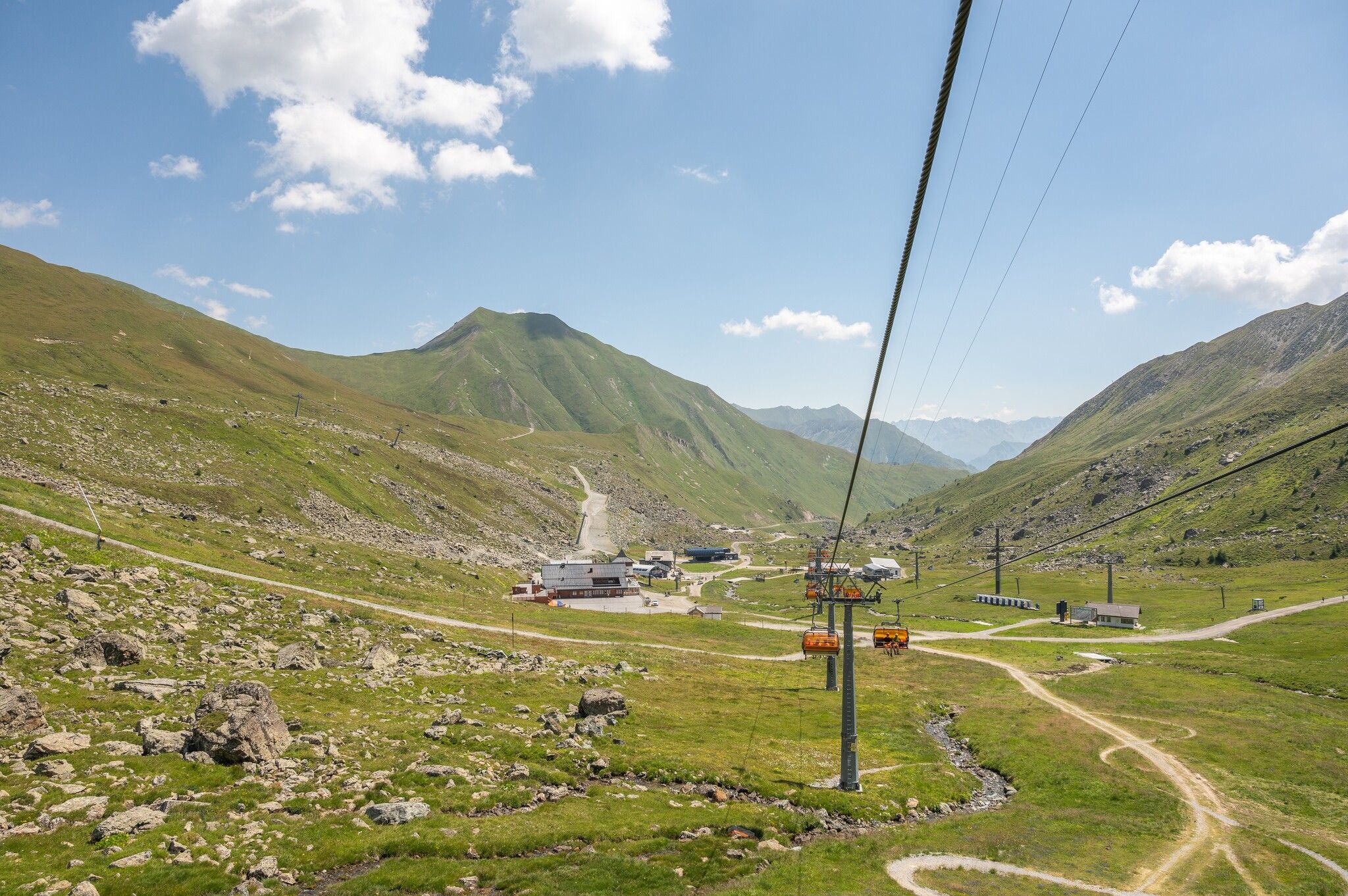
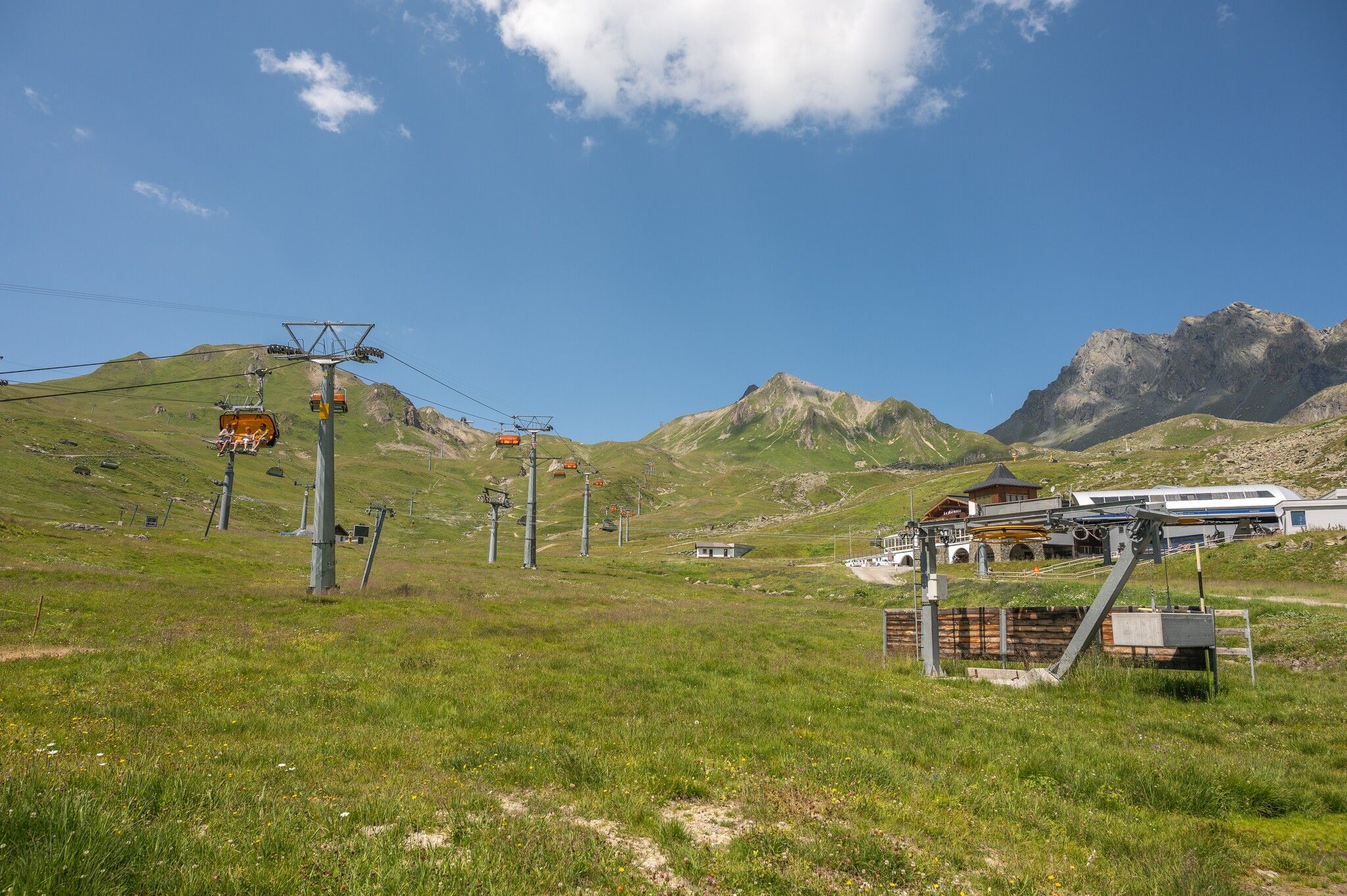
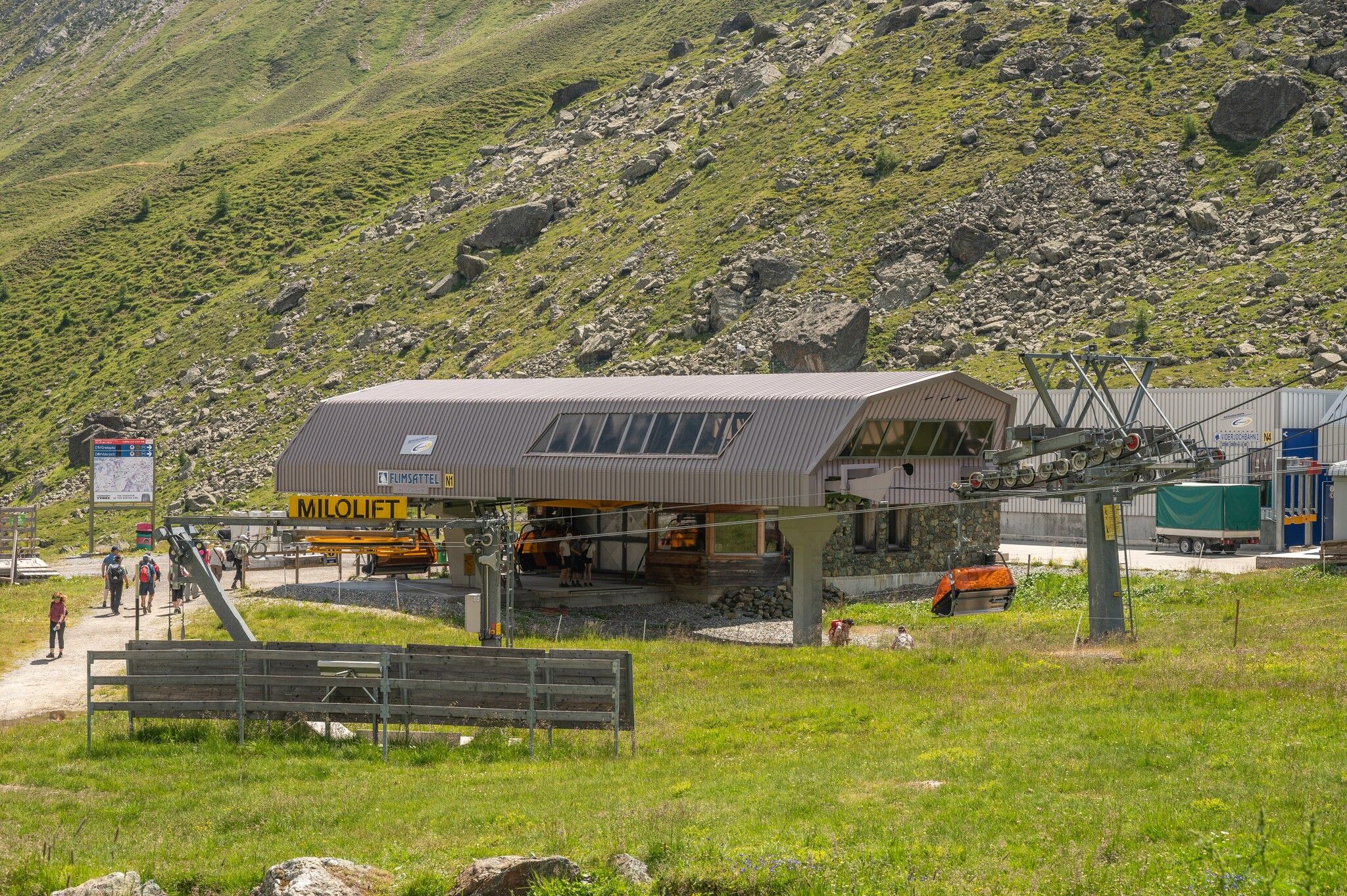
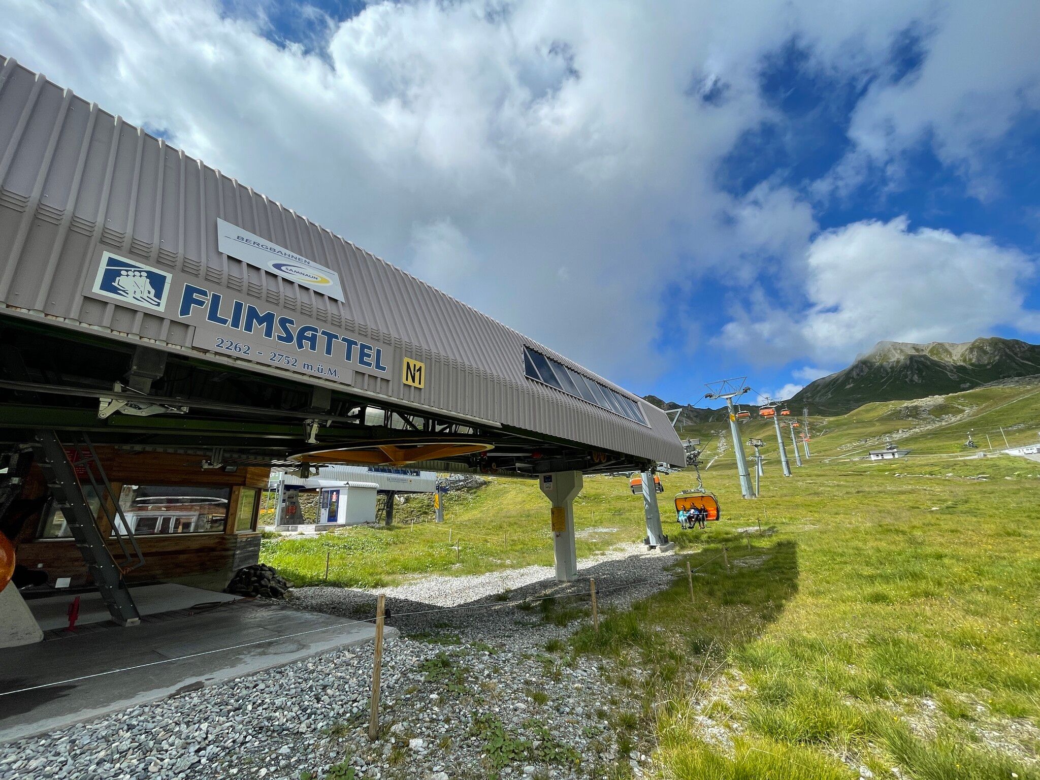
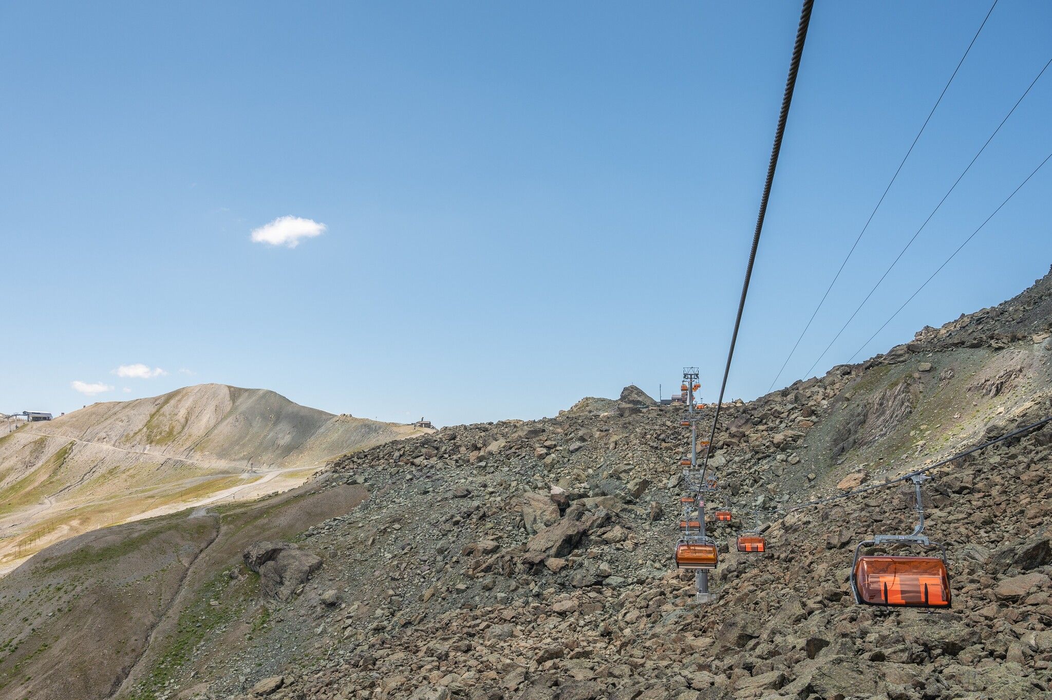
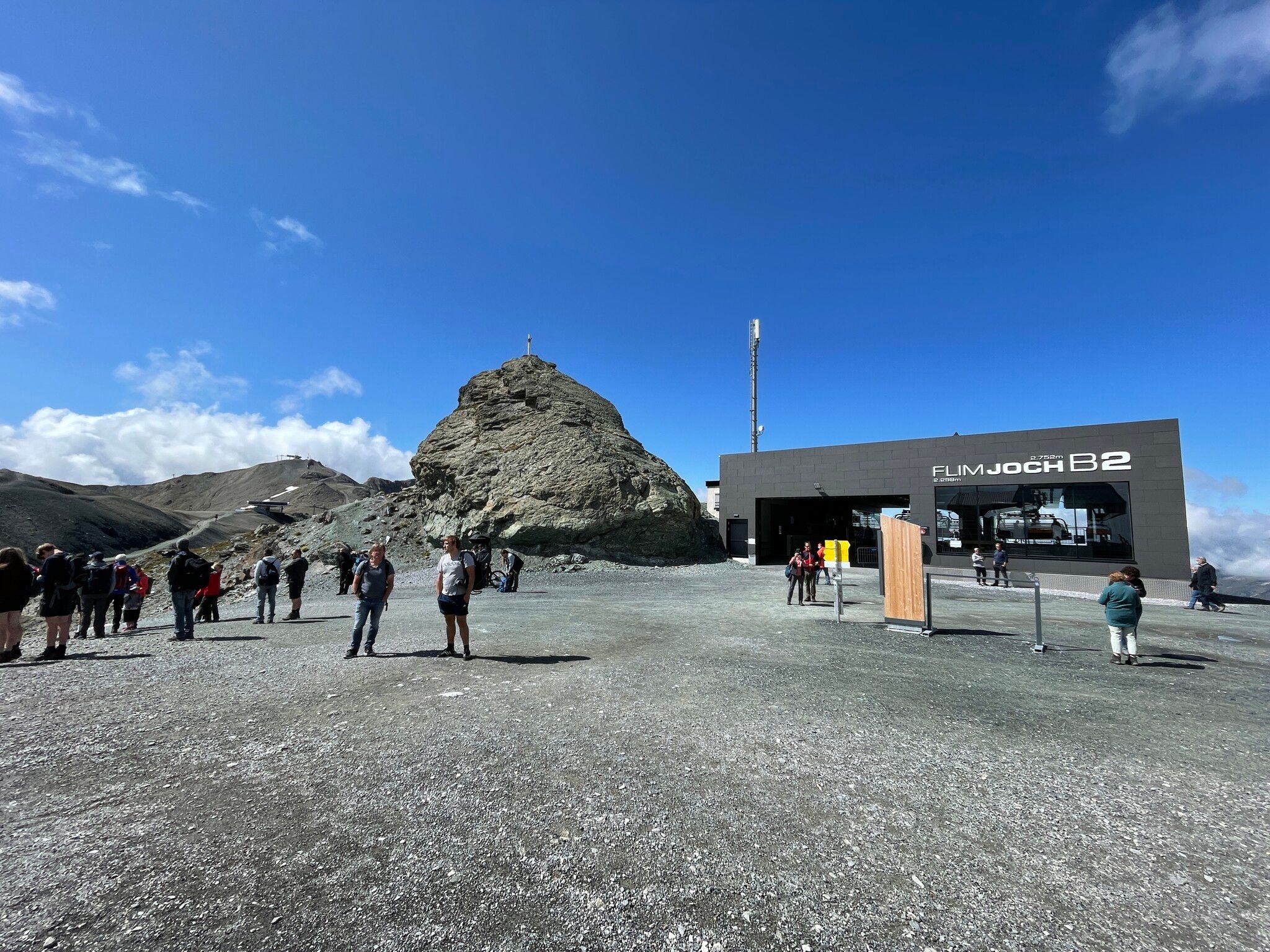
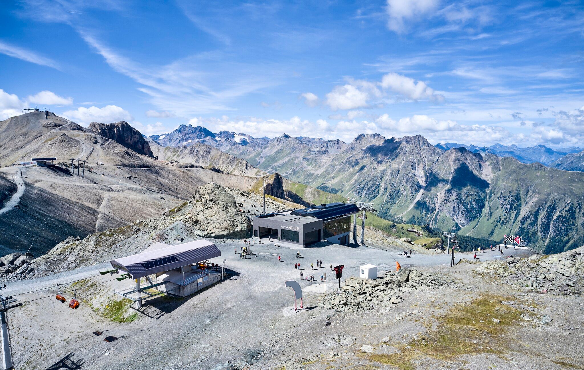
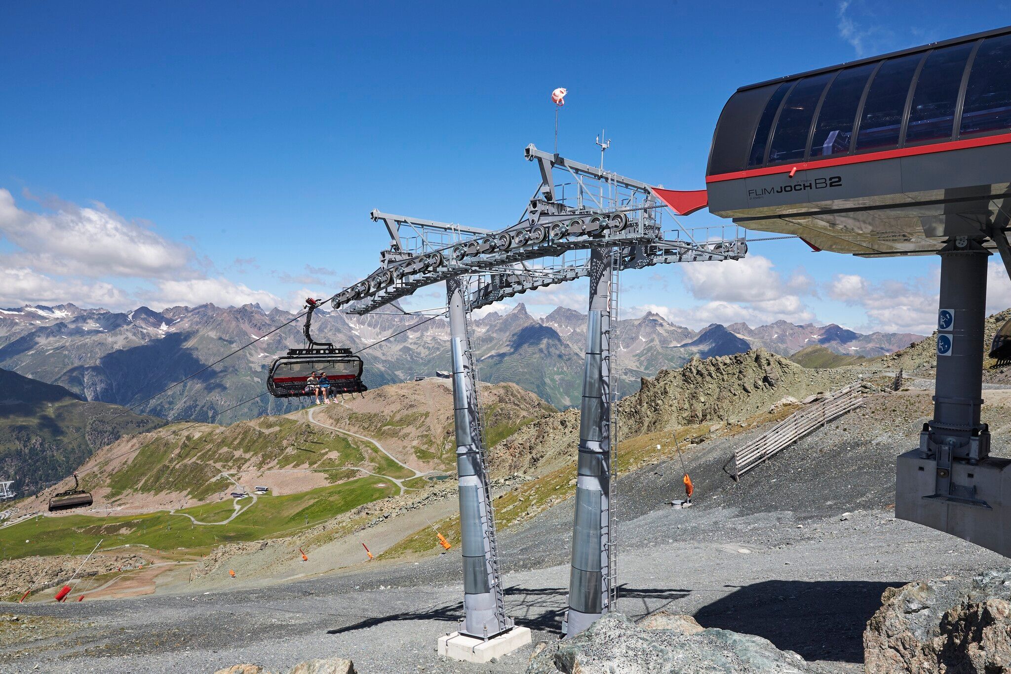
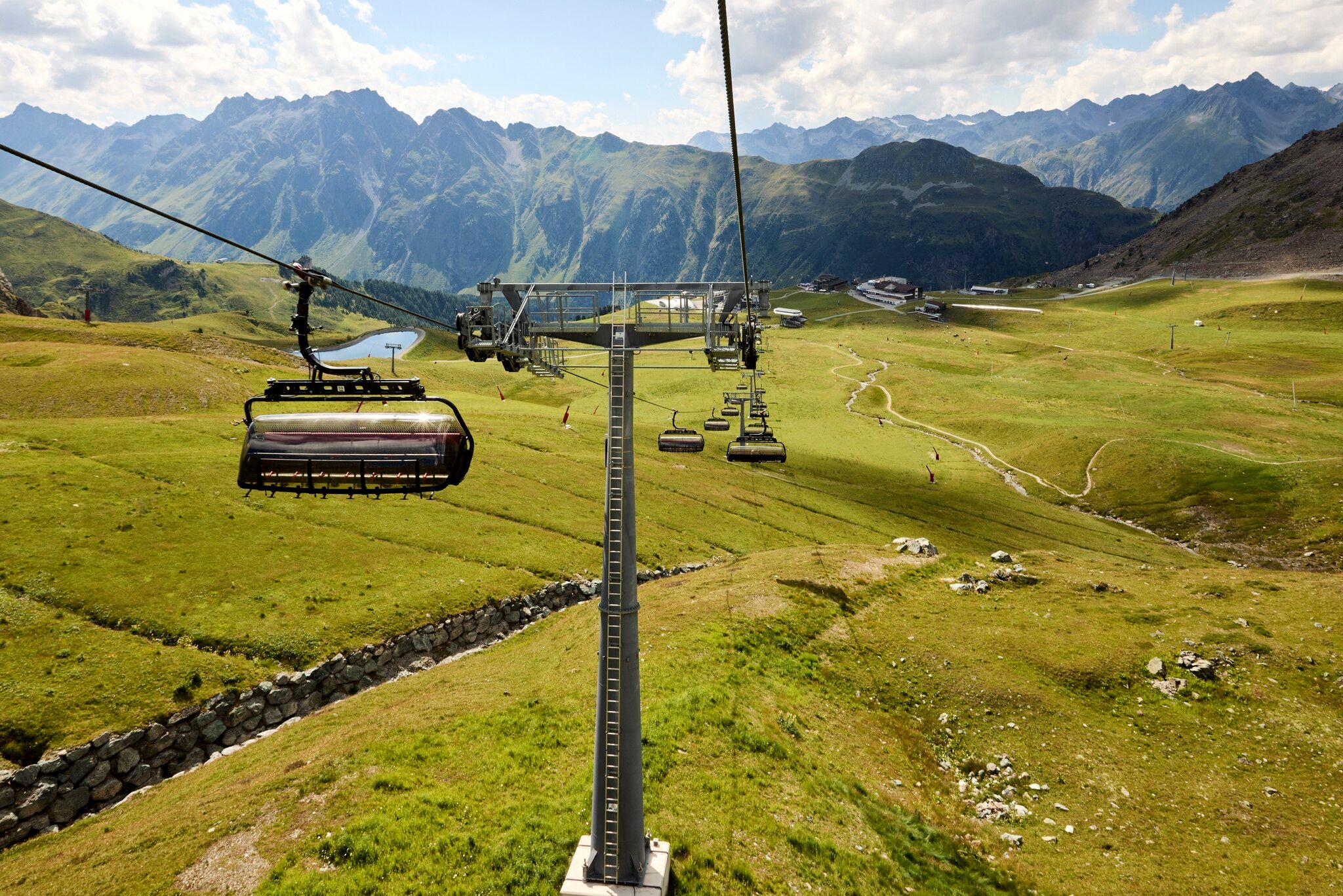
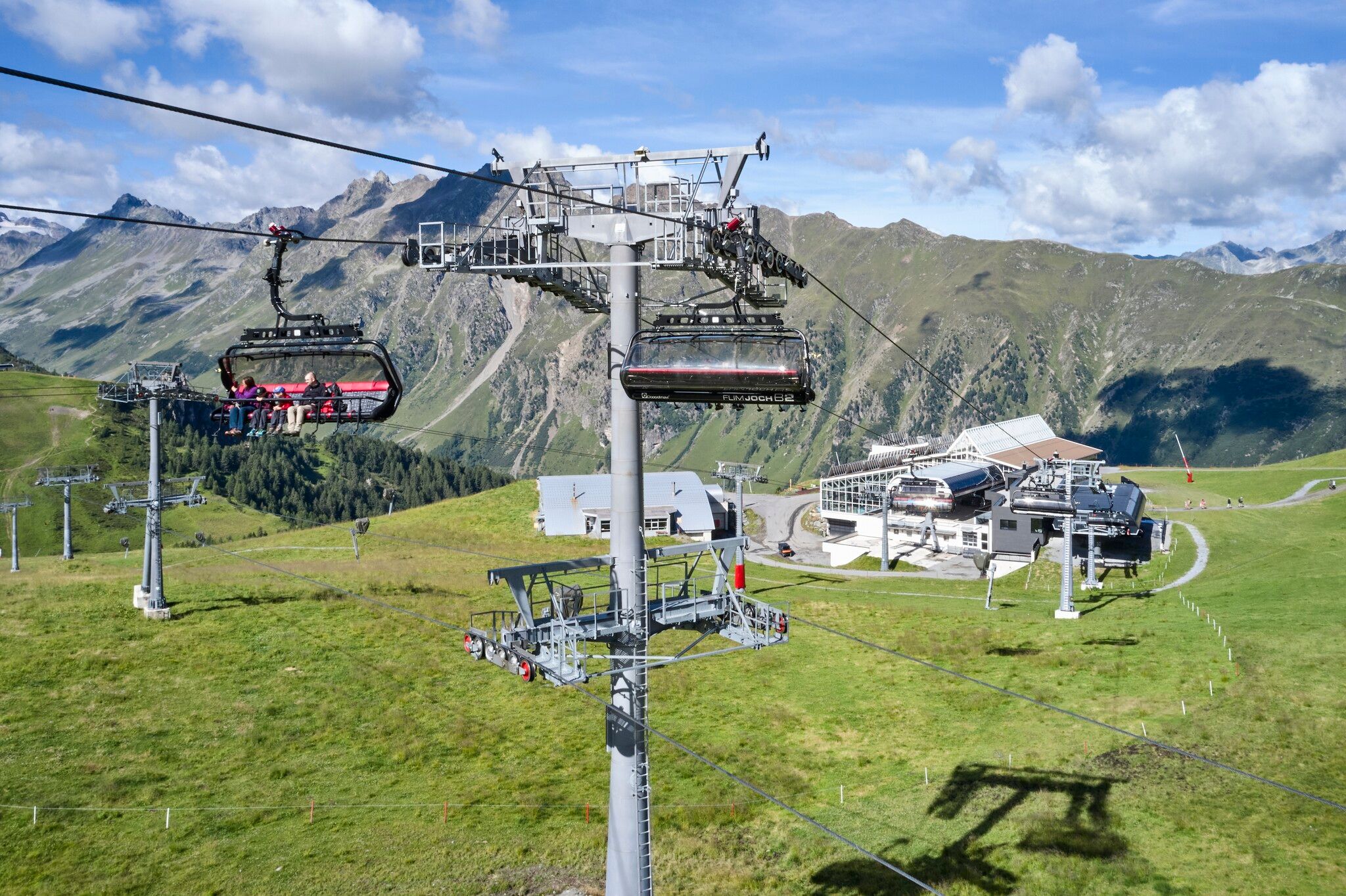
the Lakes and down to Alp Trida. From Alp Trida, you can use the chairlifts N1 Flimsattelbahn
and B2 Flimjochbahn, and the cable cars A1 Silvrettabahn or A3 Fimbabahn to get back down
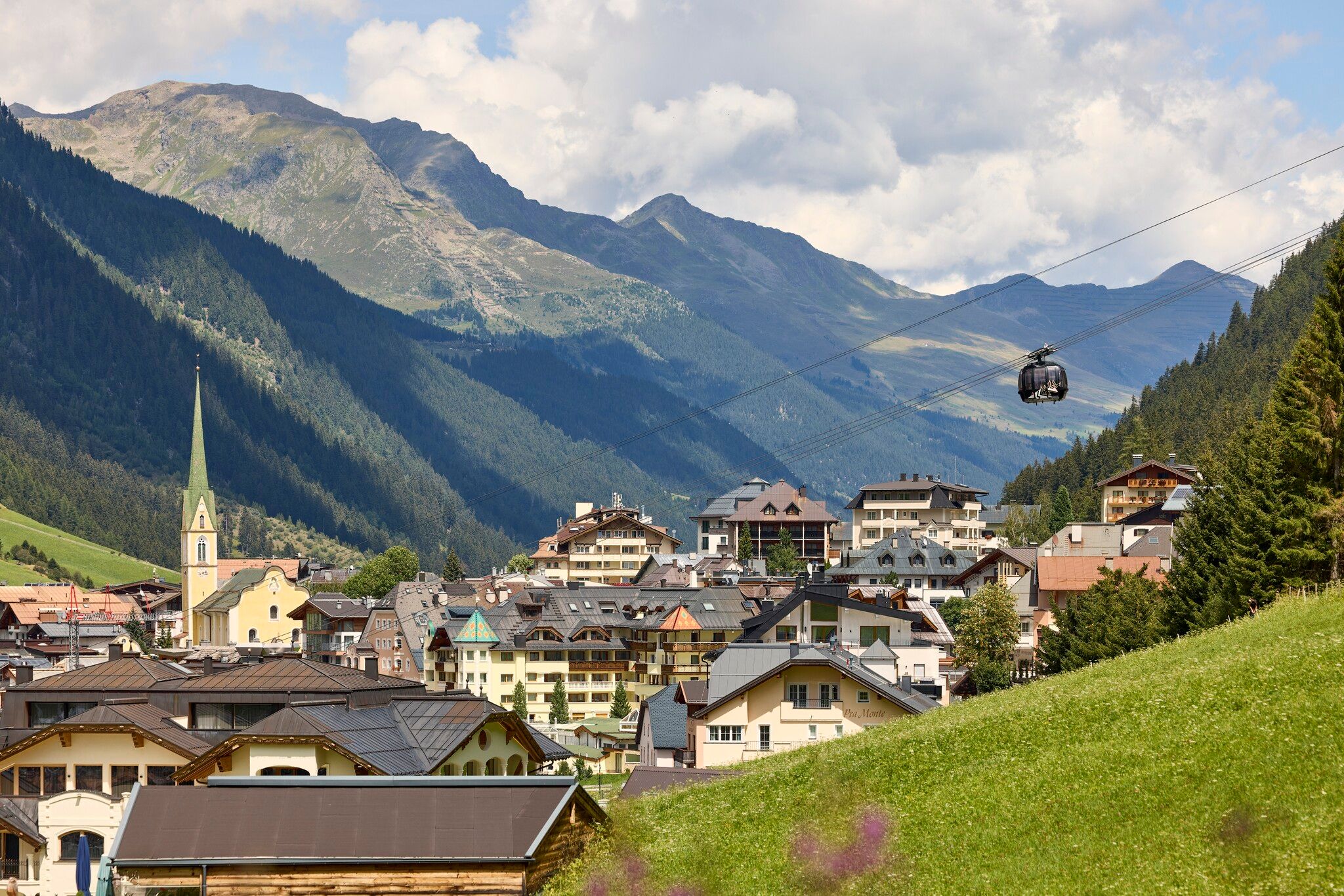
to the valley to Ischgl.
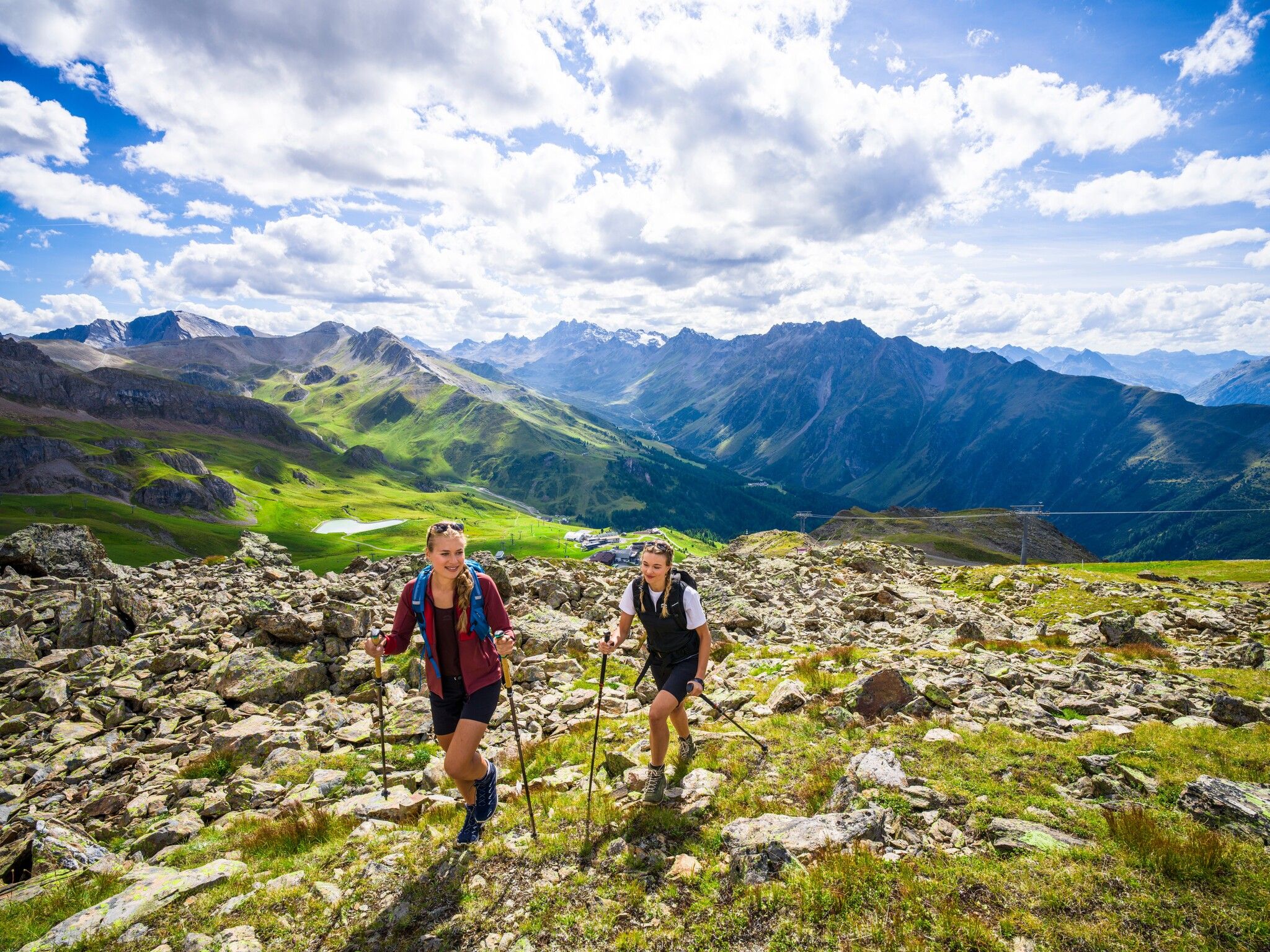
Alternative route without cable cars and lifts: Follow the signposts around Mullersattel towards
Flimjoch at 2,757 metres above sea level. From Flimjoch, the trail runs downhill, taking
you past Obere Velillalpe at 2,061 metres above sea level down to Ischgl on marked trails, forest
roads and slope sections.


.jpg")
.jpg")
.jpg")
.jpg")
.jpg")

.jpg")
.jpg")
