

Opening hours:Open today
Place:Schwaz
:Restaurant
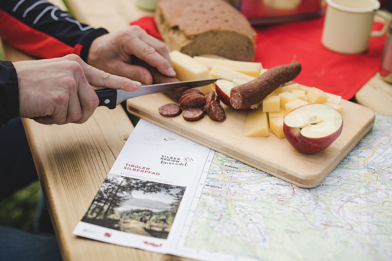
It may not be silver, but the Tyrolean Silver Trail does have a few gems to offer: for example, information stations about silver mining, an old mine tunnel, Tratzberg Castle and - after all, we also enjoy the simple things - a number of snack stops along the way.
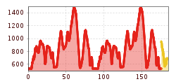
In five easy to moderately difficult daily stages of 13 to 20 km each, the trail leads through the Karwendel and the Tux Pre-Alps at medium altitude between the valley and the tree line. The Tiroler Silberpfad is suitable as a multi-day tour for long-distance hiking enthusiasts or in sections for family excursions. There are plenty of overnight accommodation options along the way and numerous additional ascent and descent options.
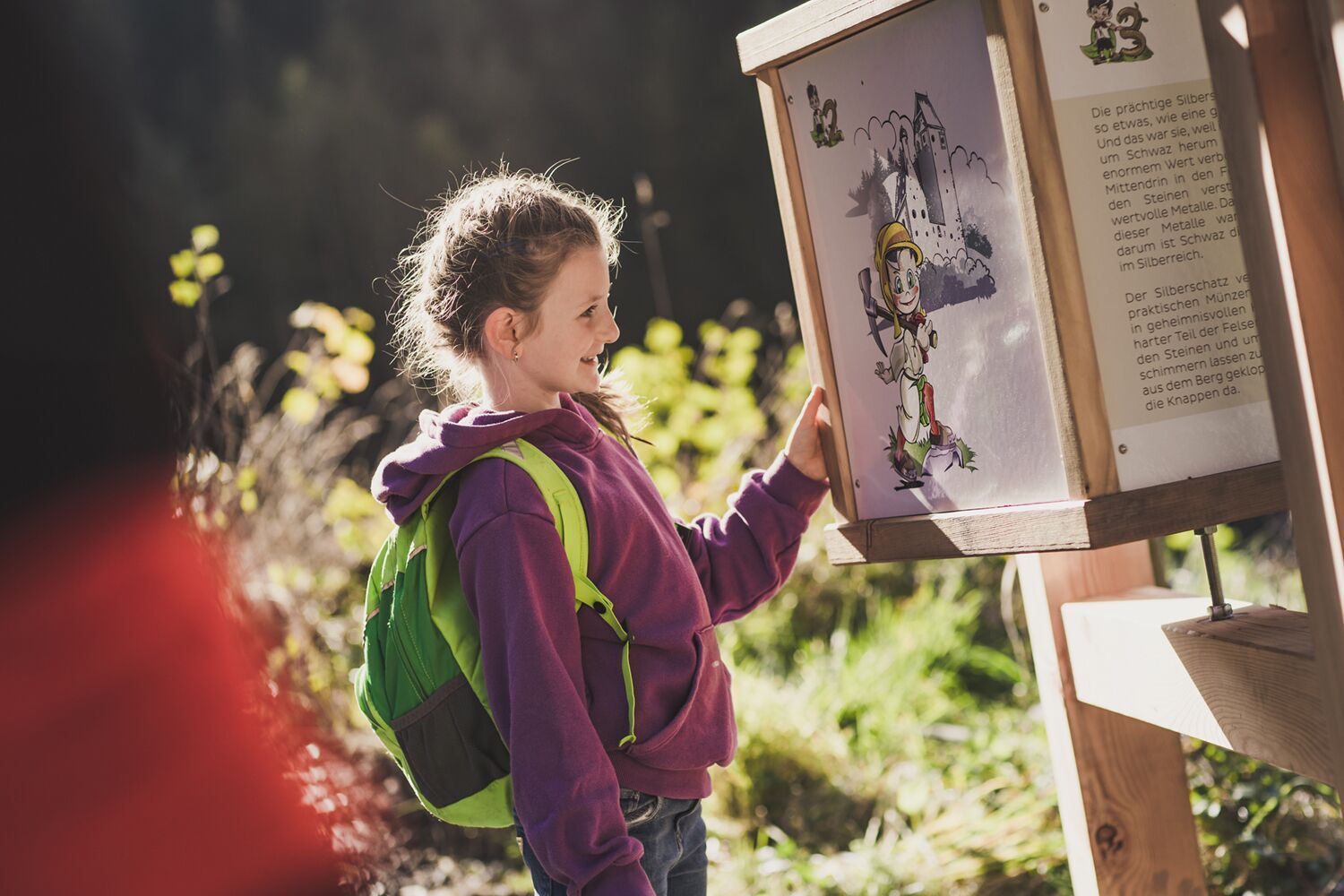
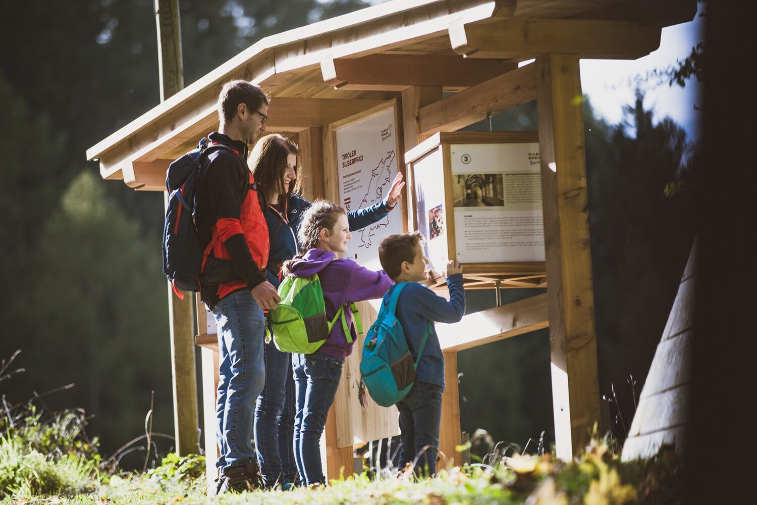
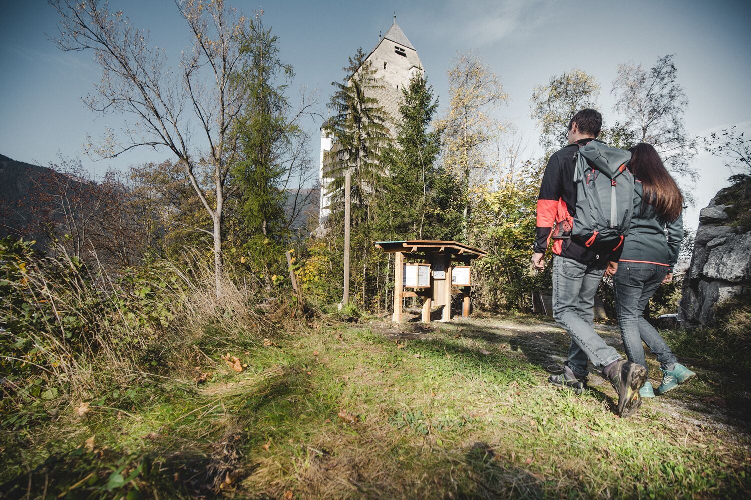
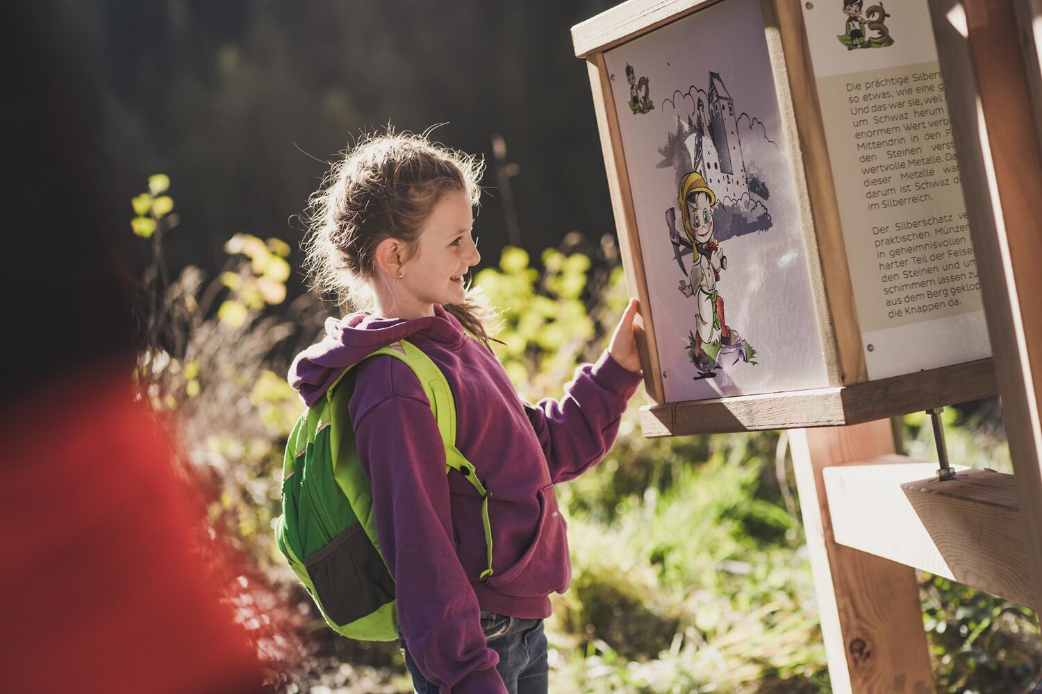
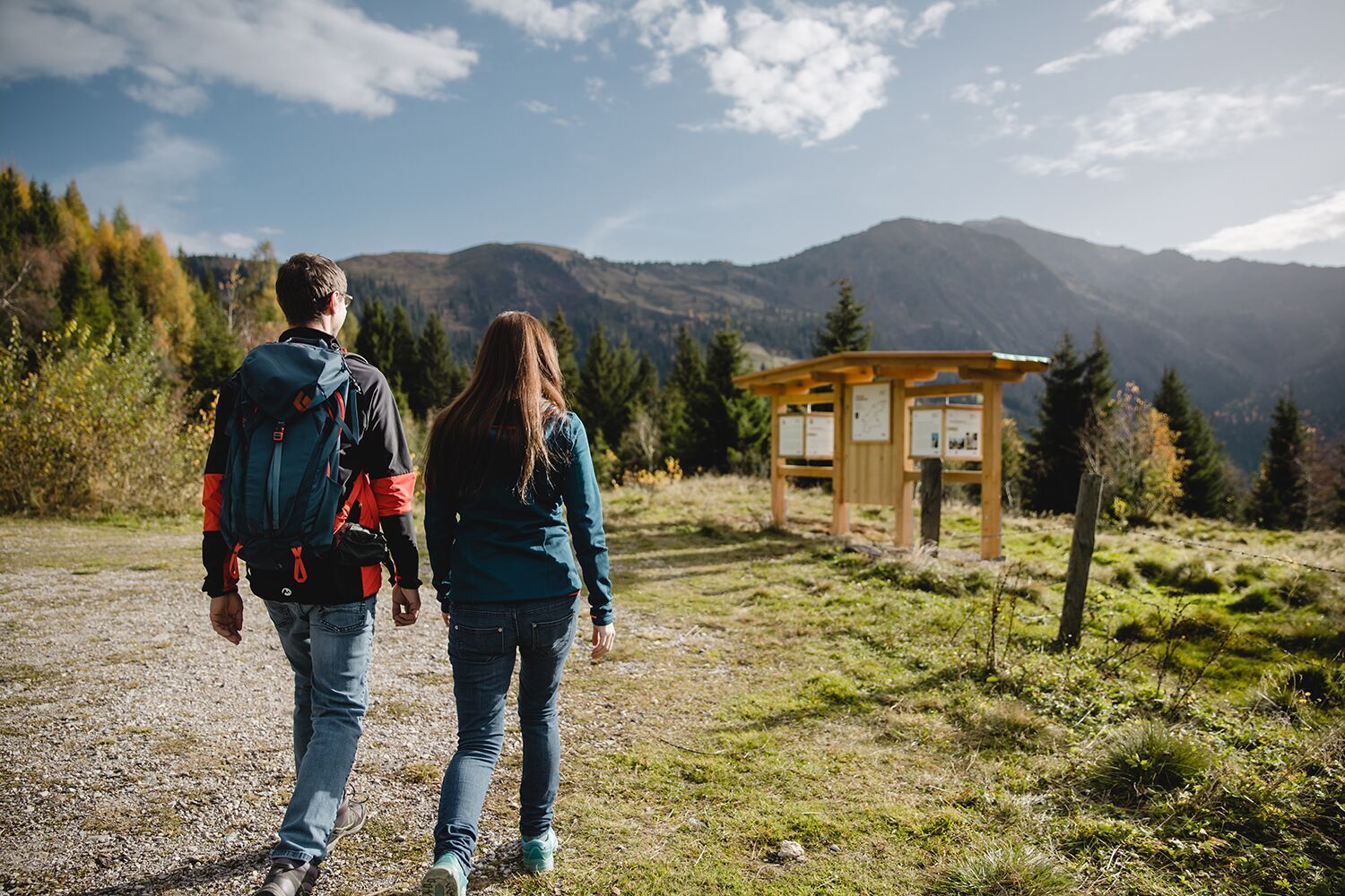
The Tiroler Silberpfad is a circular tour along the Inn Valley to the most beautiful places in the region. All twelve municipalities of the Silberregion Karwendel are hiked through. Jenbach - Stans - Vomp- Terfens - Weer - Kolsass - Kolsassberg - Weerberg - Pill - Schwaz - Gallzein - Buch in Tirol. The starting point of the long-distance trail is Jenbach railway station. From here, the trail runs in five daily stages, mostly at medium altitudes, through the Karwendel Mountains and the Tuxer Voralpen. The trail is easy to moderately difficult and particularly entertaining, as there are many sights along the way. Individual stages are therefore also
ideal for families. The stages of the long-distance trail are a recommendation, but do not exclude an individual route. There are plenty of places to stay overnight along the trail, as well as sufficient opportunities for ascents and descents.
Special feature
Along the Tiroler Silberpfad you not only embark on a nature experience, but also on a journey into the past of the 15th and 16th centuries. To a time when the Silberregion Karwendel was known as the largest mining metropolis in the world.
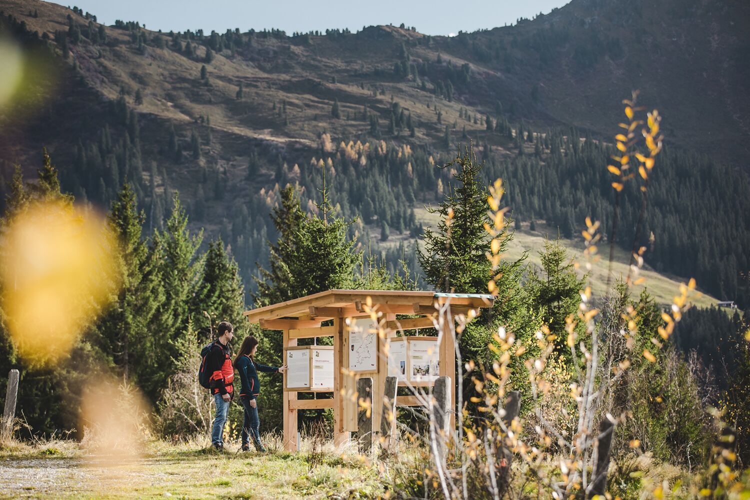
The historical story of the region runs like a "silver thread" through the entire route of the Tiroler Silberpfad. There is a wealth of information and stories about the history at our information stations in each of the twelve municipalities. Furthermore, there are numerous sights in the municipalities that are connected to silver mining.
The Tiroler Silberpfad project is supported by the Schwaz District Regional Management.
STAGE 1
Jenbach - Stans - Vomp.
➳ Starting point: Jenbach railway station.
➳ Metres in altitude uphill: 805 m
➳ Metres in altitude downhill: 466 m
➳ Length: 20.1 km
➳ Highest point: 971 m
➳ Walking time: ~ 07:00 h
Route description:
The first day's stage of the Tiroler Silberpfad begins at Jenbach railway station. Starting from the starting point, the Bahnhofstraße leads to a roundabout after about five minutes' walk. Here you have to follow the main road northwards to reach the Jenbach parish church. This was included as a waypoint due to its history of origin, which is connected with the increase in population due to silver and copper processing around 1450. Along the way there or back from the first waypoint, the Jenbach organic farmer's shop is a good place to stock up on provisions. Once back at the roundabout, the yellow signs of the long-distance trail now guide you over the Inntal motorway bridge down to the Innstraße, where the first information station and digital stamping point is waiting to be discovered. From Jenbach in a westerly direction, across the Tratzberger Au, which blooms beautifully in summer, Tratzberg Castle can be reached in about 40 minutes. The castle is one of the most important art and cultural monuments in Tyrol, which at times also belonged to the Fuggers. Guided tours are offered in the completely restored castle. A recommended option for a first rest is the Schlosswirt Tratzberg. From here, the hiking route runs through the forests of Stans, past the next information station as well as the pilgrimage church Maria Tax, to St. Georgenberg, Tyrol's oldest place of pilgrimage. The imposing so-called "Hohe Brücke" (high bridge) offers a wonderful view over the Wolfsklamm gorge below and the Inn valley. The continuing section of the route leads along the Alpsteig at a constant altitude. When you reach Vomperberg, the Puitner Stüberl is an excellent opportunity to replenish your energy reserves.From here, after about 15 minutes, the route joins the climate trail, which, in addition to the breathtaking panorama of the Tuxer Voralpen, also provides interesting information about the climate. The first day's stage ends at a small green area where you will find the Vomp information station, a drinking fountain and a hiking lounger for relaxation. In addition to overnight accommodation on Vomperberg, the descent to the village of Vomp is also possible here.
Waypoints & Places of interest
➳ Parish Church of Saint Wolfgang & Leonhard, Jenbach
➳ Tratzberg Castle, Jenbach
➳ Maria Tax pilgrimage church, Stans
➳ St. Georgenberg pilgrimage monastery, Stans
➳ Information stations Jenbach, Stans, Vomp
Refreshment stops:
➳ Jenbach organic farm shop, Jenbach
➳ Schlosswirt Tratzberg, Jenbach
➳ St. Georgenberg pilgrimage monastery, Stans
➳ Puitner Stüberl, Vomperberg
➳ Metzgerei Prem, Vomp
➳ Pelikan Inn, Vomp
➳ Hotel Vomperhof, Vomp
STAGE 2
Vomp - Terfens - Weer/Kolsass.
➳ Starting point: Vomperberg
➳ Metres in altitude uphill: 404 m
➳ Metres in altitude downhill: 704 m
➳ Length: 15.4 km
➳ Highest point: 892 m
➳ Walking time: ~ 05:30 h
Route description:
Attention! Diversion in the Vomperbach/Vomperloch area. Please follow the diversions or the signposts.
Starting from Vomperberg, the second stage of the day leads directly behind the Karwendelrast guesthouse to Vomperbach. For the steeper sections of the trail, it is recommended to use hiking poles in wet conditions. For those who have decided to descend to Vomp, there are two options: Either climb back up to the last waypoint on Vomperberg, or hike west along the village road. After passing the Derfeser gravel pit, the hike continues along the main route. Passing the hydroelectric power station, the municipality of Terfens is reached a short time later by crossing the pedestrian bridge at Fuchsegg. After a short but intense ascent, the route leads via the Heizingweg to the Umlberg. Here you have to follow the Panoramaweg, which runs directly along the edge of the forest. Continue along the Jakobsweg, which leads through the picturesque Larchtal valley, to the next information station. To reach the pilgrimage church of Maria Larch and the associated healing water fountain house from here, you have to leave the main route of the Tiroler Silberpfad for about 200m in an easterly direction. After returning the short section of the trail, the path must now be followed southwards through the Eggenfelder. Pay attention here, especially as you have to turn off at an inconspicuous path that first leads across a meadow at the edge of the forest.
As the route continues, Neu Terfens is passed via the Mühlweg and the Inn is crossed for the first time along the Riedstraße. In addition to the modern village square in Weer, which is perfect for resting and relaxing, the Weer information station is also waiting to be discovered at the end of the second stage of the day. Refreshment stops and accommodation can be found in the communities of Weer and Kolsass, which lie seamlessly next to each other.
Waypoints & Places of interest
➳ Maria Larch pilgrimage church, terfens
➳ Information stations Terfens, Weer, Kolsass
Refreshment stops:
➳ Schmalzerhof, Weer
➳ Hotel Rettenberg, Kolsass
➳ Gasthof Steixner, Weer
STAGE 3
Weer/Kolsass - Kolsassberg - Weerberg.
➳ Starting point: Weer/Kolsass
➳ Metres in altitude uphill: 660 m
➳ Metres in altitude downhill: 336 m
➳ Length: 13.1 km
➳ Highest point: 1137 m
➳ Walking time: ~ 05:00 h
Route description:
The third stage of the Tiroler Silberpfad is the shortest route. Before starting the hike, it is a good idea to stock up on regional delicacies at the organic dairy in Kolsass. From Weer/Kolsass, the trail leads uphill to the community of Kolsassberg. First you walk along a forest road to the Gartlach snack station, which is ideal for a relaxing break. From here, the breathtaking view of the Inn Valley and the Karwendel Mountains from the southern side can be enjoyed for the first time. After about two hours of walking, the Kolsassberg information station is reached, just a few metres from the Hotel Jägerhof. Attentive hikers will discover the old
the old mining gallery "Reindlmühle". After crossing the rear suspension bridge over the partly wild Weerbach stream, you enter the municipal area of Weerberg and thus leave the municipality of Kolsassberg. Past the Maxnhager riding facility, the third destination of the day at Weerberg is already in sight. If you have enough time, it is a good idea to explore the sights of the municipality.
Waypoints & Places of interest
➳ "Reindlmühle" mining gallery & rear suspension bridge, Kolsassberg/Weerberg
➳ Kolsass information station, Kolsassberg
➳ Maria Empfängnis Parish Church, Weerberg
➳ Church of St. Peter, Weerberg
➳ Museum Rablhaus, Weerberg
Refreshment stops:
➳ Jausenstation Gartlach, Kolsassberg
➳ Biosennersei Kolsass, Kolsass
➳ Hotel Pension Jägerhof, Kolsassberg
➳ Astl's Bauernladen, Weerberg
➳ Landgasthof Schwannerwirt, Weerberg
STAGE 4
Weerberg - Pill - Schwaz.
➳ Starting point: Weerberg
➳ Metres in altitude uphill: 812 m
➳ Metres in altitude downhill: 1150 m
➳ Length: 19.8 km
➳ Highest point: 1482 m
➳ Walking time: ~ 07:30 h
Route description:
The fourth stage of the day, the longest of the five stages compared to the previous day, starts from Mitterweerberg. The trail first leads along an asphalted mountain road into the recreational forest above Weerberg. This section of the trail repeatedly offers an exceptionally beautiful panoramic view of the Inn Valley and the Karwendel Mountains. The view of the Kellerjoch mountain area to the east is equally impressive. From Außerweerberg, the trail continues along the Taubenwald forest at the foot of the Gilfert. Shortly below the Loassattel, which separates the Gilfert from the Kuhmesser and subsequently from the Kellerjoch, you reach the Hochpillberg district of the Pill municipality. Past the valley station of the Kellerjochbahn cable car, which offers a short rest at 1,887m above sea level, the Tiroler Silberpfad continues downhill in a northerly direction, always with the goal of the silver city of Schwaz in mind. Due to the large number of sights and attractions in the district capital of Schwaz, it is worthwhile for hikers interested in history and culture to plan an extra day here to explore the sights in detail.
Waypoints & Places of interest
➳ Information stations Weerberg, Pill, Schwaz
➳ Freundsberg Castle, Schwaz
➳ Franciscan monastery, Schwaz
➳ Maria Himmelfahrt parish church, Schwaz
➳ Fuggerhaus, Schwaz
➳ Schwaz Silver Mine, Schwaz
➳ Silver Region Treasury Shop, Schwaz
➳ Museum of the Peoples, Schwaz
➳ Tourism association Silberregion Karwendel, Schwaz
Refreshment stops:
➳ Biohotel Grafenast, Hochpillberg
➳ Frieden - The Alpine Panorama Hotel, Hochpillberg
➳ Freundsberg Castle, Schwaz
➳ Gasthof Tippeler, Schwaz
➳ Gasthof Einhorn Schaller, Schwaz
➳ Hotel-Gasthof Goldener Löwe, Schwaz
➳ Knappenkuchl, Schwaz
➳ Restaurant Silberberg, Schwaz
➳ You can find more localities in the Schwaz Gastro Guide.
STAGE 5
Schwaz - Gallzein - Buch in Tirol - Jenbach.
➳ Starting point: Schwaz
➳ Metres in altitude uphill: 770 m
➳ Metres in altitude downhill: 787 m
➳ Length: 19.3 km
➳ Highest point: 1134 m
➳ Walking time: ~ 07:00 h
Route description:
Starting from the silver town of Schwaz, the last stage of the day leads over the Pflanzgarten and past the Maria Zell Chapel. Afterwards, a section of the Schwazer Knappensteig, which is well worth seeing, is hiked through. Here you can visit and experience the historical mining sites. Only 15 minutes later you pass the Simon Juda Chapel. Follow the path further uphill to encounter the famous site of the Stiersage, where a wild bull is said to have uncovered a silver vein for the first time with its horns in 1409. At medium altitude, the trail first follows the Vogelsang trail along the imposing gorge of the Bucherbach stream. Downhill, the route runs through Hochgallzein and passes the next information station before continuing over the Sailberg to the last of the twelve communities, Buch in Tirol. Due to the slippery conditions, especially when wet, it is recommended to be careful and use hiking poles. Shortly before reaching the district of Maurach, the trail passes an extraordinary place of power, the Raffau Chapel. The last sights of the circular tour are the Rottenburg castle ruins and the Notburga chapel. Today's Rottenburg castle ruins once represented Tyrol's economic hub. Nearby is also the imposing Notburga spruce, considered the tallest spruce in Tyrol. From here it is only a few kilometres until the Inn is crossed again in the Rotholz district and the destination of the long-distance hike, Jenbach railway station, is in sight.
Waypoints & Places of interest
➳ Schwazer Knappensteig, Schwaz
➳ Maria Zell Chapel, Schwaz
➳ Simon-Juda Chapel, Schwaz
➳ Raffau Chapel, Gallzein
➳ Koglmooser Stier Stelle, Gallzein
➳ Rottenburg castle ruins, Buch in Tirol
➳ Gallzein information stations, Buch in Tirol
Refreshment stops:
➳ Pirchnerhof farm shop, Schwaz
➳ Kohlerhof Danzl farm shop, Schwaz
➳ Gasthof Esterhammer, Buch in Tirol
Waste disposal
NO waste disposal is possible at our snack stations along the Tiroler Silberpfad. As the trail regularly passes public waste collection points, we ask you to use these for disposal. Please keep the snack stations and the paths of the Tiroler Silberpfad clean! Thank you very much for your support!
For your long-distance hiking holiday in the Karwendel Silver Region, we recommend travelling by public transport. You can find all information at:https://silberregion-karwendel.com/en/getting-there
Our tip
With the SILBERCARD guest card you can travel free of charge and as often as you like on the regional bus routes within the Karwendel Silver Region during your holiday.
You can find the timetables of the public buses at www.vvt.at and www.ledermair.at.


