
Mountain hikes Dorfberg

Kartitsch / Gailtal Alps
Difficulty ratings: medium
Route length: 17.6 km
Duration: 5:30 h

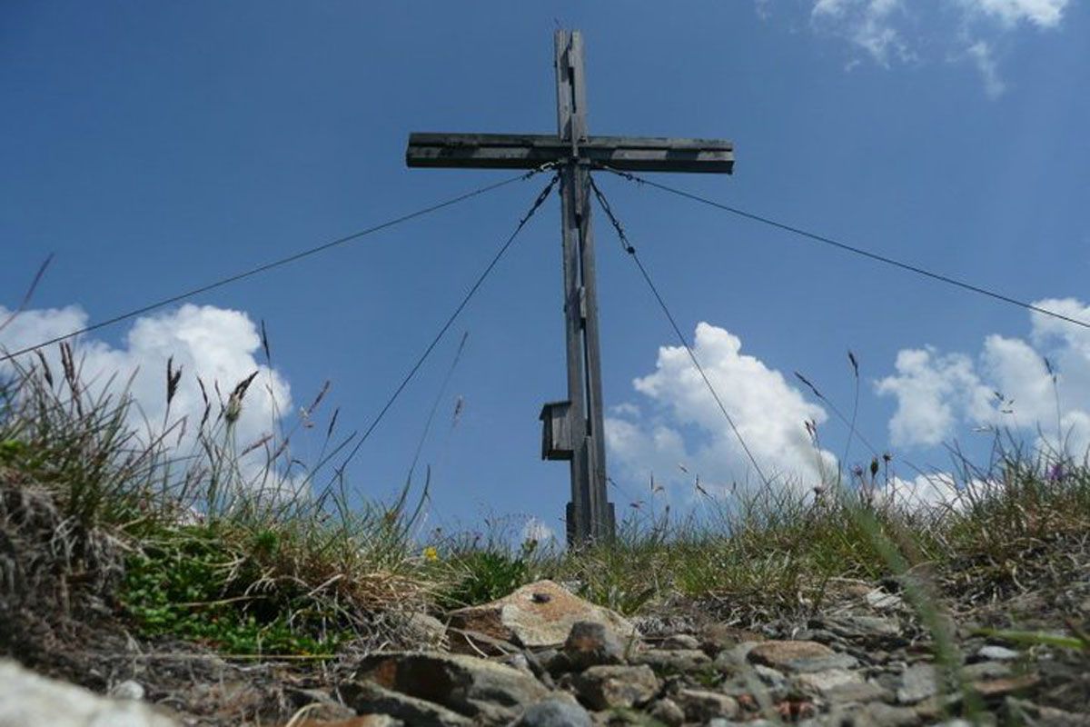
The Dorfberg is the local mountain of the Kartitsch people, but they don't mind if other fit hikers choose their favorite panoramic peak as their destination.

Tour character

Technically easy to medium, but with a route length of 15 kilometers, the tour to Kartitsch's local mountain over the Kartitscher Sattel is quite demanding in terms of fitness. The 2,225-metre-high village mountain can mainly be reached via forest paths and mountain trails. The circular tour can also be completed relatively early after snowy winters, as the entire route is on the sunny side.
Tour information

  • Requirement: medium
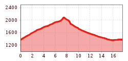
  • Length: 17.6 km
  • Duration: 5:30 h
  • Elevation uphill:770 hm
  • Elevation downhill:770 hm
Highest point2,115 m

Starting point

Parking lot St. Oswald

Finishing point

Parking lot St. Oswald
  • Fitness level 3 / 6
  • Technique 3 / 6

Features

  • Circular route

Best time of year

  • January
  • February
  • March
  • April
  • May
  • June
  • July
  • August
  • September
  • October
  • November
  • December
Source: TVB Osttirol

Description

The path to the Dorfberg is not difficult, proceeding on the sunny side of Tirol’s Gailtal and rewards hikers with plenty of views. The starting point is St. Oswald. From there hike to the right, past the T-bar lift route, conveniently then via route no. 229 to the Ochsenwiesen, continuing to the summit of the Dorfberg. The Dorfberg is the local mountain in Kartitsch.

Nearby huts and mountain restaurants

Getting here

  • Parking

    Parkplatz St. Oswald

More tours in the surrounding area

  • Muhs panorama trail

    Difficulty:medium
    Length:15.2 kmDuration:6:00 hElevation uphill:1,090 m
  • Herz-Ass Villgratental

    Difficulty:medium
    Length:75.6 kmDuration:34:00 hElevation uphill:5,703 m
  • Venediger altitude trail

    Difficulty:difficult
    Length:55.5 kmDuration:27:00 hElevation uphill:3,975 m
  • Figerhorn

    Difficulty:difficult
    Length:6.6 kmDuration:6:00 hElevation uphill:811 m
  • Theme path "Virgen crossroads"

    Difficulty:easy
    Length:3.2 kmDuration:1:00 hElevation uphill:104 m
  • Lasörling altitude trail

    Difficulty:medium
    Length:55.4 kmDuration:25:00 hElevation uphill:3,718 m
  • Circular walk church St. Nikolaus

    Difficulty:easy
    Length:5.4 kmDuration:1:39 hElevation uphill:150 m
  • Lasörling 3.098m

    Difficulty:difficult
    Length:22.0 kmDuration:12:00 hElevation uphill:1,940 m
  • Böses Weibl

    Difficulty:difficult
    Length:14.1 kmDuration:8:00 hElevation uphill:1,193 m
  • Iseltrail

    Difficulty:medium
    Length:75.3 kmDuration:24:30 hElevation uphill:2,347 m
  • Trail Virgentaler Sonnseitenweg

    Difficulty:medium
    Length:41.9 kmDuration:19:00 hElevation uphill:2,641 m
  • Badener Hütte

    Difficulty:difficult
    Length:23.2 kmDuration:12:00 hElevation uphill:1,754 m
  • Lucknerhaus - Stüdlhütte

    Difficulty:medium
    Length:9.3 kmDuration:4:30 hElevation uphill:862 m
  • Hiking tour to St. Pöltner Hütte and 3 lakes

    Difficulty:difficult
    Length:14.8 kmDuration:7:40 hElevation uphill:1,119 m
  • Hike to the Venedigerhaus Innergschlöß

    Difficulty:easy
    Length:8.6 kmDuration:2:30 hElevation uphill:184 m
  • Hike to Kalser Tauernhaus

    Difficulty:medium
    Length:12.2 kmDuration:4:00 hElevation uphill:244 m
  • Hiking tour to Neue Sajathütte 2.600m

    Difficulty:medium
    Length:10.3 kmDuration:6:50 hElevation uphill:1,086 m
  • Hiking tour to Zupalsee Hütte 2.350m

    Difficulty:medium
    Length:14.9 kmDuration:8:30 hElevation uphill:1,261 m
Newsletter

The mountain is calling? So does our newsletter!

In our monthly newsletter we reveal the best holiday tips for Tyrol.
