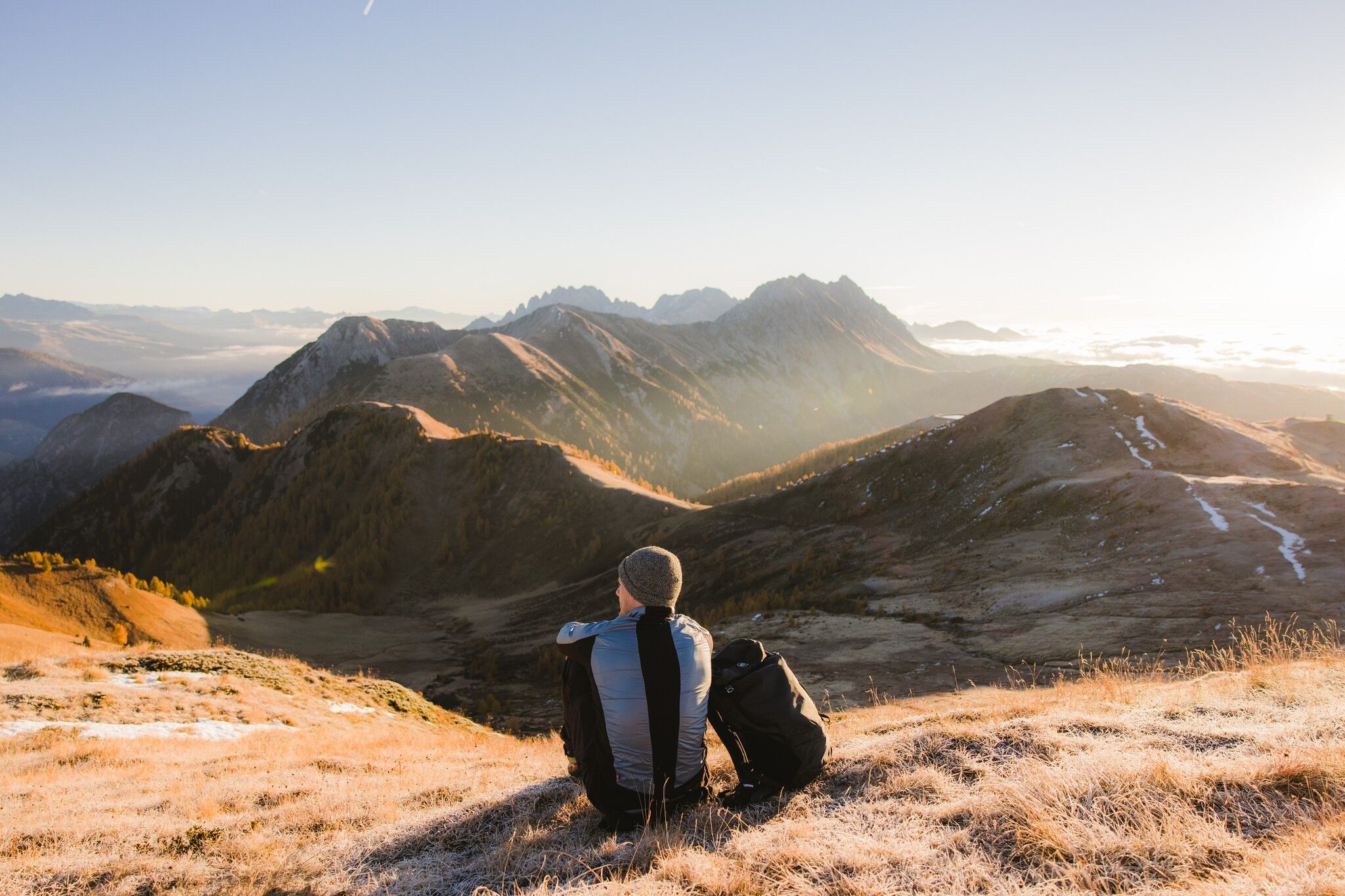
Hut hike Golzentipp 2.317 m

Obertilliach / Gailtal Alps
Difficulty ratings: easy
Route length: 5.6 km
Duration: 2:00 h

Well, we've got another tip for you. The Golzentipp. And it even includes natural playgrounds, relaxation zones and an easy summit.

Tour character

Easy summit hike with ascent aid to the Golzentipp. Beautiful natural playgrounds, barbecue areas and relaxation zones along the route.
Tour information

  • Requirement: easy
  • Length: 5.6 km
  • Duration: 2:00 h
  • Elevation uphill:267 hm
  • Elevation downhill:267 hm
Highest point2,317 m

Starting point

Cable railway mountain hut

Finishing point

Golzentipp
  • Fitness level 3 / 6
  • Technique 2 / 6

Features

  • Suitable for families

Best time of year

  • January
  • February
  • March
  • April
  • May
  • June
  • July
  • August
  • September
  • October
  • November
  • December

Equipment

Basic equipmentformountainhikingincludessturdy hiking bootswith a goodtread, a 30-35 literbackpack, and functionalclothingbased on thelayeringprinciple, includingsufficient spare clothes. Essential itemsare rain, cold, and sunprotection, adequatefluids and food, aswellas a first-aid kit and a charged mobile phone. A mapor a GPS devicesupportsorientation. 

The informationservesas a guideline and does not claimtobe exhaustive. Equipment mustalwaysbeadaptedtothe planned route, weatherconditions, season, naturalhazards, environmental influences, and personal needs. 

Source: TVB Osttirol

Description

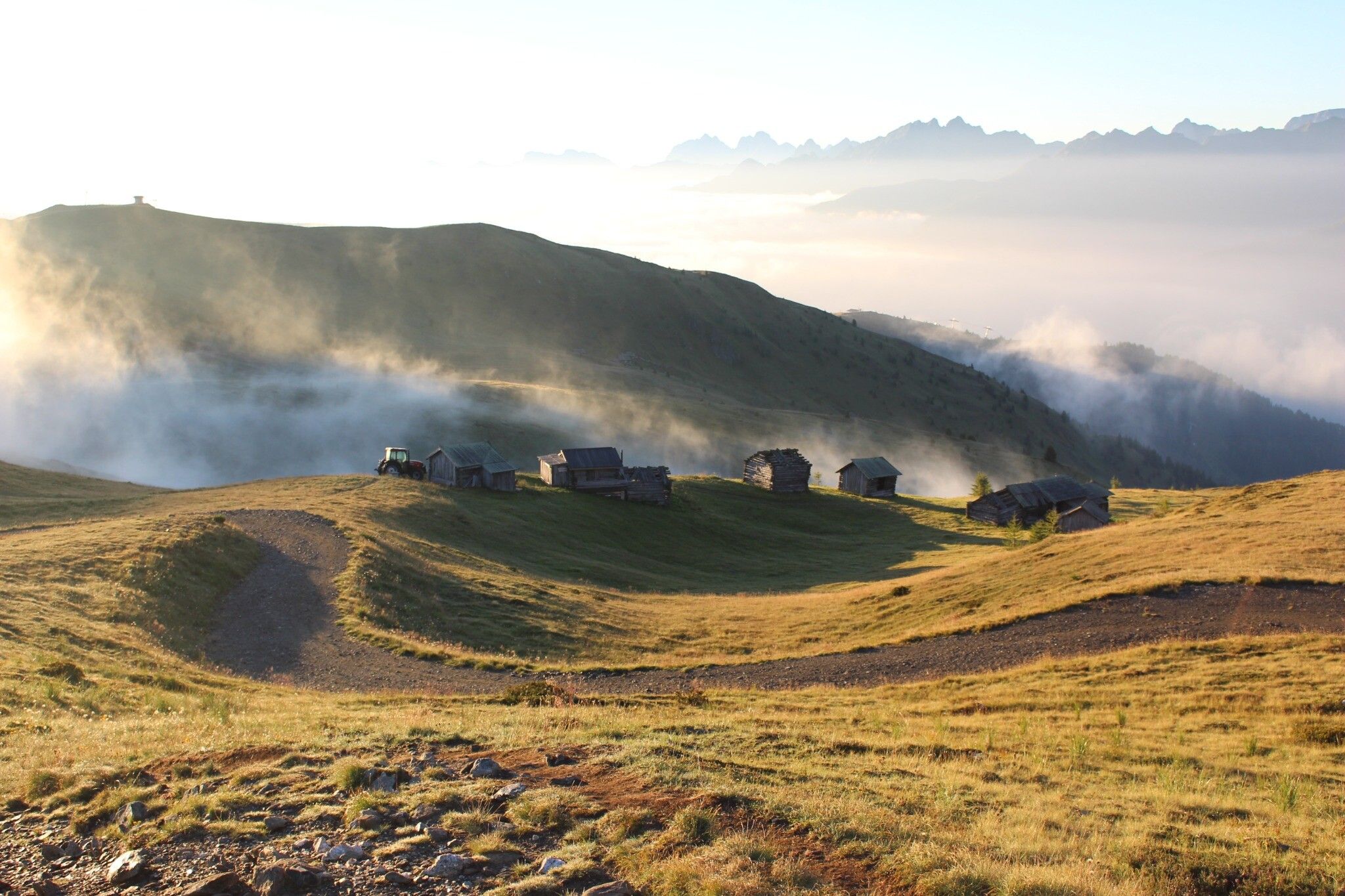
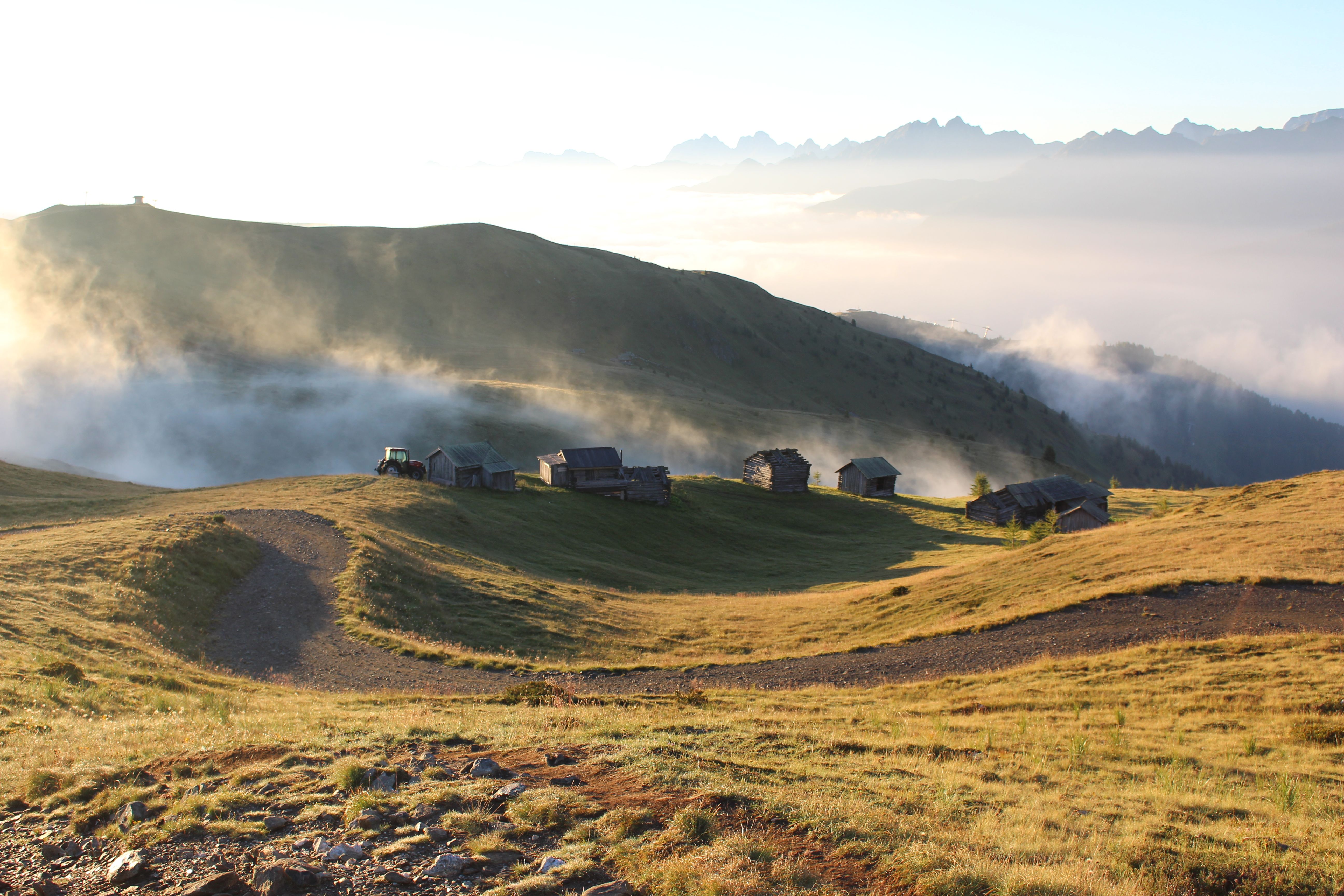
From the mountain station, the Children’s Mile with its 13 interactive stations follows a wide hiking trail past the Speicherteich to Jochsee. Continue along the path, passing just above the historic hay hut ensemble "Kutteschupfen," and ascend the easily accessible Golzentipp, the local mountain of the Tilliacher. From the summit, enjoy breathtaking panoramic views of the surrounding mountains, and on particularly clear days, even catch a glimpse of the Großglockner.

Nearby huts and mountain restaurants

Getting here

  • Arrival by public transport

    Get off the bus at the Obertilliach/Ort stop. Follow the main road east to the gas station. Then turn left, walk past the parking lots, and reach the valley station of the Golzentipp cable car in just a few minutes.

  • Parking

    By car to the parking lot below the valley station of the Golzentipp cable car, then take the gondola up.
    parking lots Golzentipp cable car

Weather

Today

cloudy
7°C/3°C
50%0.9l5 km/h

Thu

moderate rain
6°C/4°C
85%21.2l5 km/h

Fri

snow showers
5°C/-4°C
80%6.8l10 km/h
Go to weather forecast

More tours in the surrounding area

  • Theme path "Virgen crossroads"

    Difficulty:easy
    Length:3.2 kmDuration:1:00 hElevation uphill:104 m
  • Böses Weibele

    Difficulty:medium
    Length:13.6 kmDuration:6:30 hElevation uphill:965 m
  • Badener Hütte

    Difficulty:difficult
    Length:23.2 kmDuration:12:00 hElevation uphill:1,754 m
  • Lucknerhaus - Stüdlhütte

    Difficulty:medium
    Length:9.3 kmDuration:4:30 hElevation uphill:862 m
  • Böses Weibl

    Difficulty:difficult
    Length:14.1 kmDuration:8:00 hElevation uphill:1,193 m
  • Hike to Neuen Reichenberger Hütte

    Difficulty:medium
    Length:18.2 kmDuration:9:00 hElevation uphill:1,252 m
  • Hiking tour to Lasörlinghütte 2.350m

    Difficulty:medium
    Length:14.6 kmDuration:7:50 hElevation uphill:1,135 m
  • Hiking tour to Neue Sajathütte 2.600m

    Difficulty:medium
    Length:10.3 kmDuration:6:50 hElevation uphill:1,086 m
  • Hike to Kalser Tauernhaus

    Difficulty:medium
    Length:12.2 kmDuration:4:00 hElevation uphill:244 m
  • Hike to the Venedigerhaus Innergschlöß

    Difficulty:easy
    Length:8.6 kmDuration:2:30 hElevation uphill:184 m
  • Glödis via ferrata route

    Opening hours:closed
    Difficulty:BExposition:SE
    Duration:1:00 hDuration:4:00 hElevation difference:230 m
  • Herz-Ass Villgratental

    Difficulty:medium
    Length:75.6 kmDuration:34:00 hElevation uphill:5,703 m
  • Muhs panorama trail

    Difficulty:medium
    Length:15.2 kmDuration:6:00 hElevation uphill:1,090 m
  • Lake Schwarzsee

    Difficulty:medium
    Length:7.8 kmDuration:3:30 hElevation uphill:790 m
  • Rotenkogel

    Difficulty:difficult
    Length:3.9 kmDuration:3:00 hElevation uphill:383 m
  • Rote Spitze 2,956 m

    Difficulty:medium
    Length:10.2 kmDuration:5:30 hElevation uphill:1,260 m
  • Dorfberg

    Difficulty:medium
    Length:17.6 kmDuration:5:30 hElevation uphill:770 m
Newsletter

The mountain is calling? So does our newsletter!

In our monthly newsletter we reveal the best holiday tips for Tyrol.