
The final stage of the Kaiserkrone, where you can wrap up the tour at a leisurely pace—but no less spectacularly.
A moderately difficult final stage with the Maukspitze as a striking landmark. After gentle forest trails, the terrain becomes more alpine on the Niederkaiserkamm, with narrower paths and some rocky sections secured with ropes that require sure-footedness. Great views at the Ursulablick and across the open alpine pastures around the Graspoint-Hochalm and Graspoint-Niederalm.
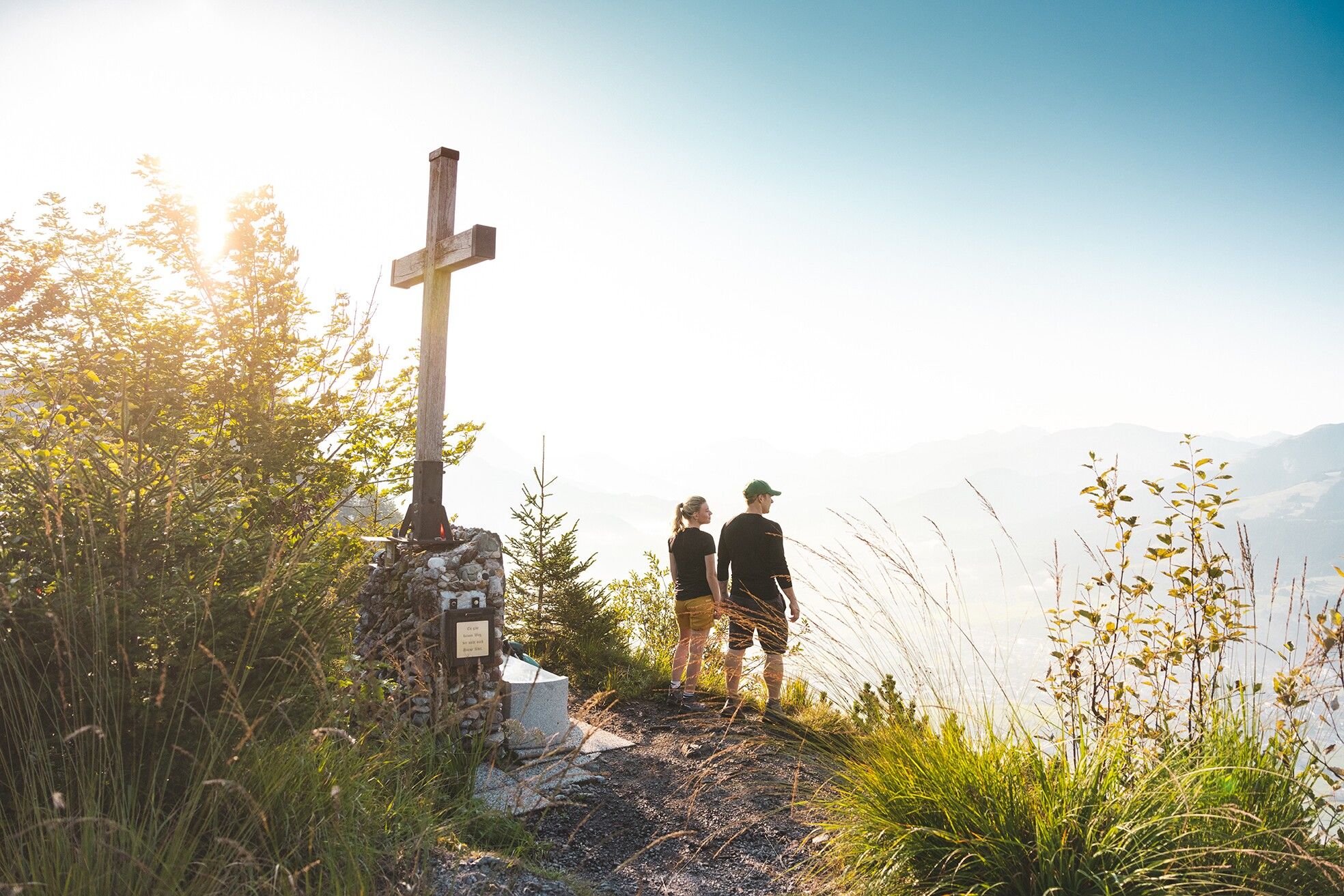
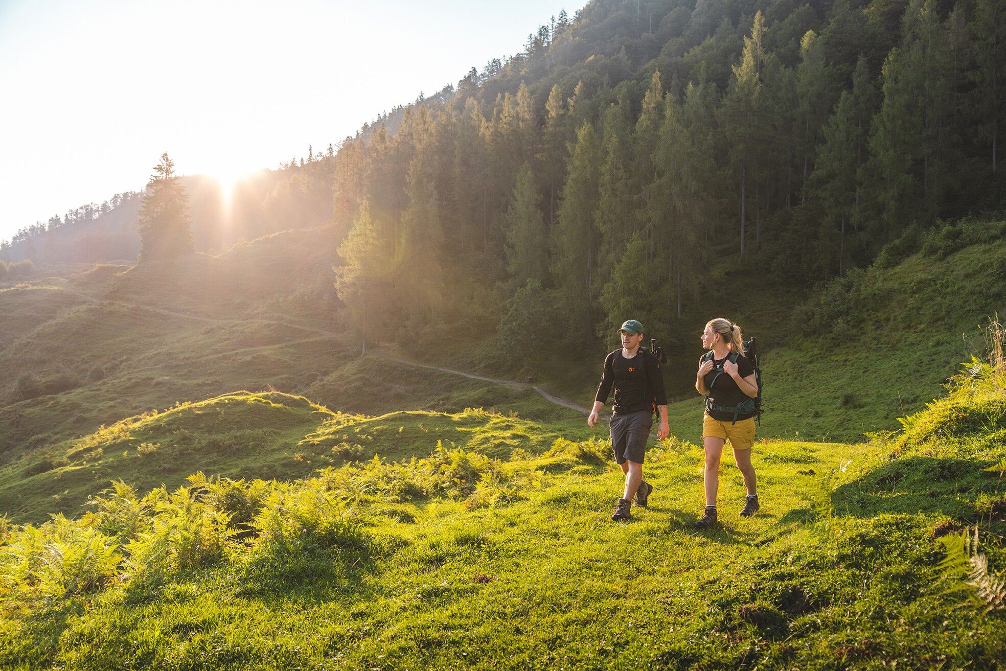
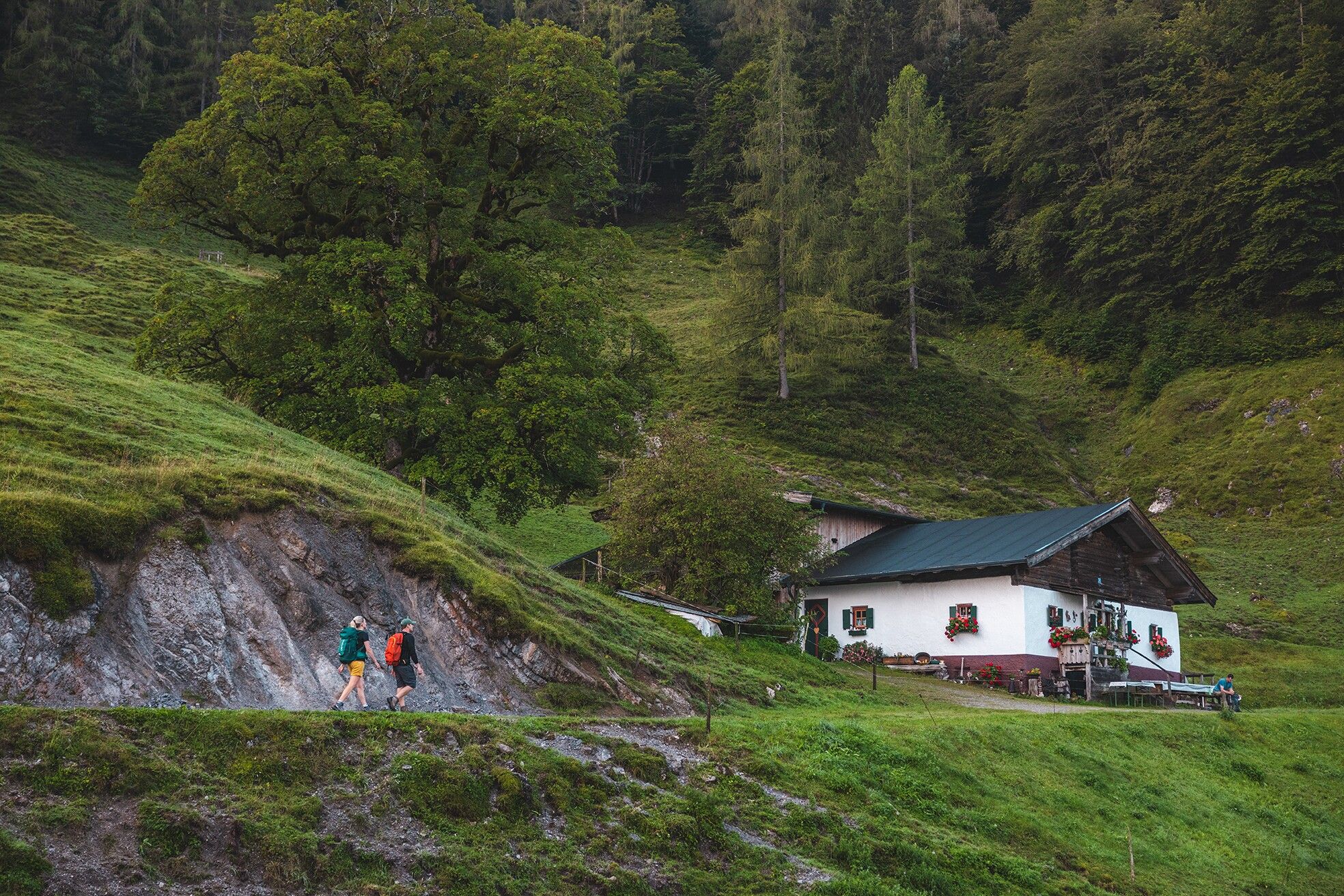
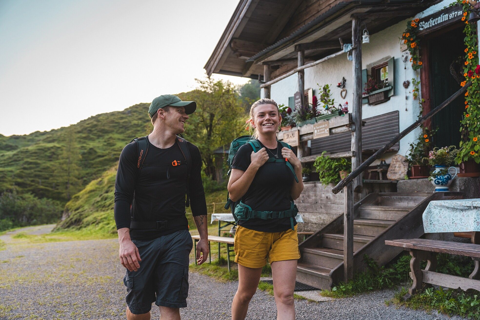
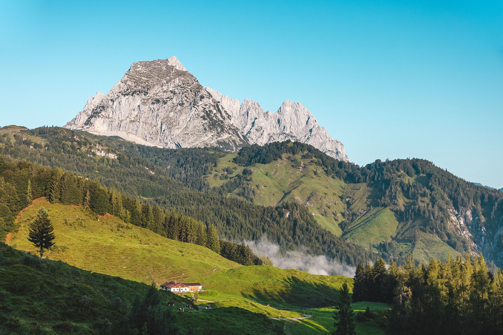
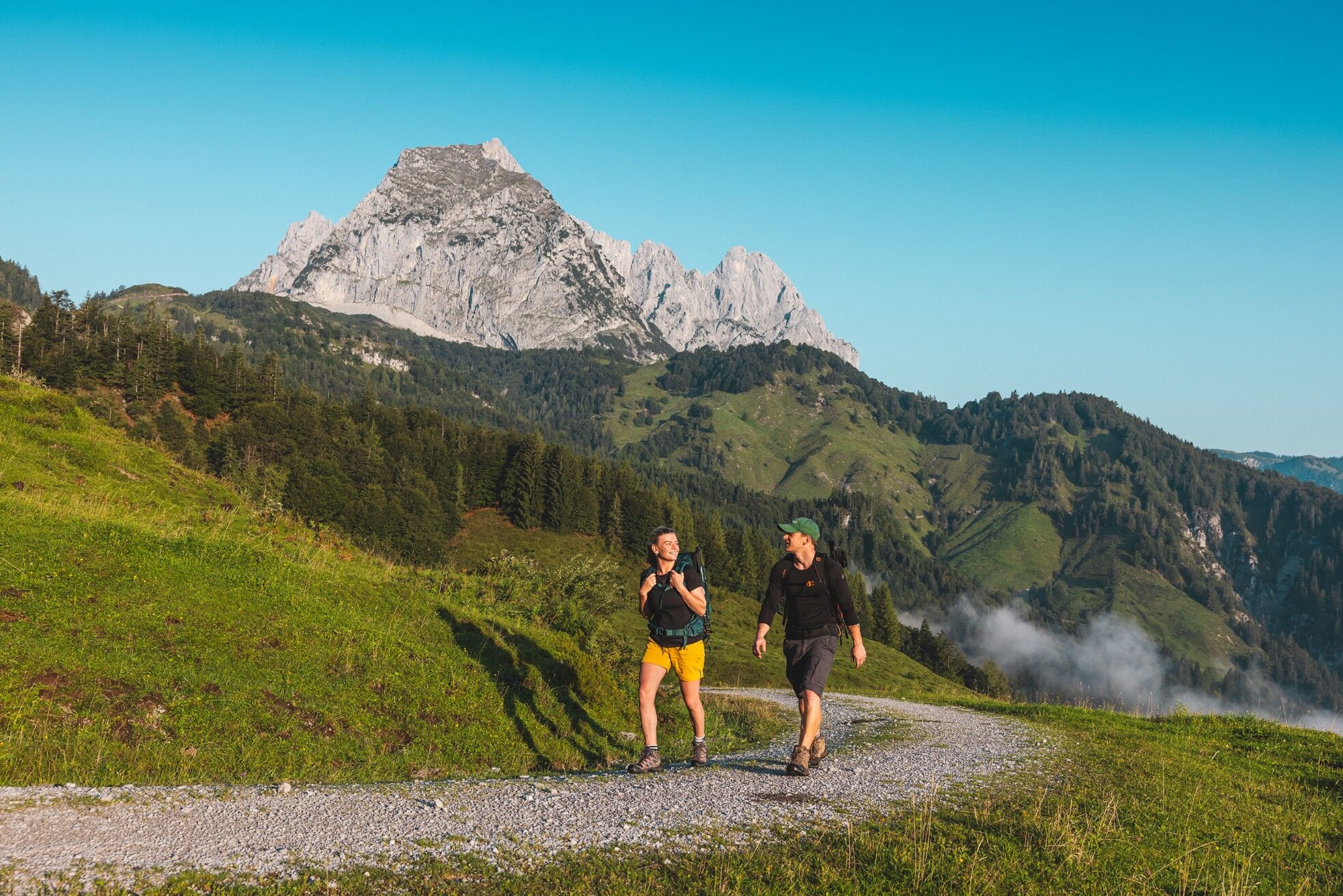
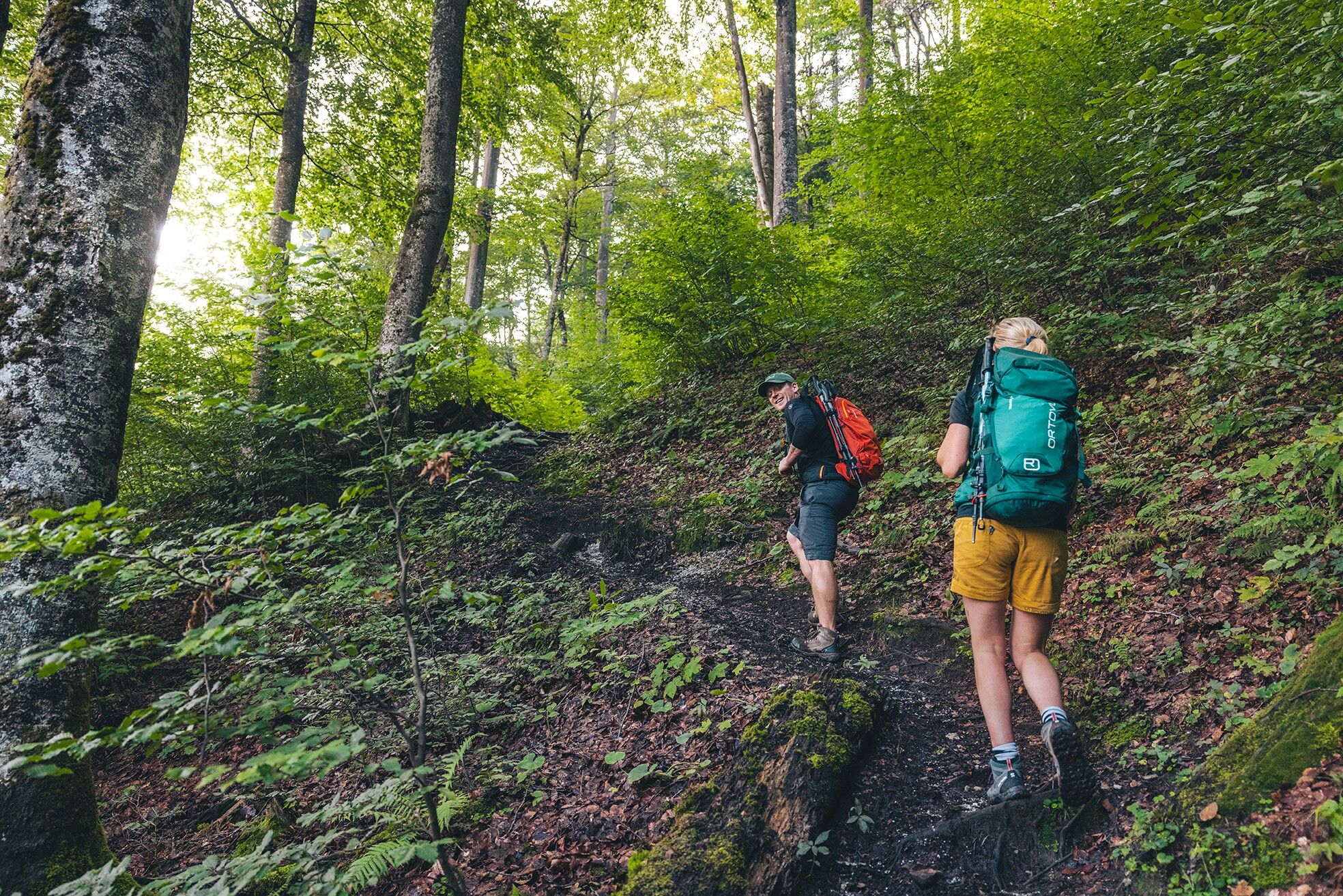
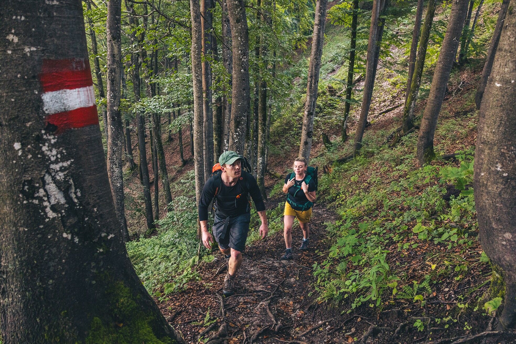
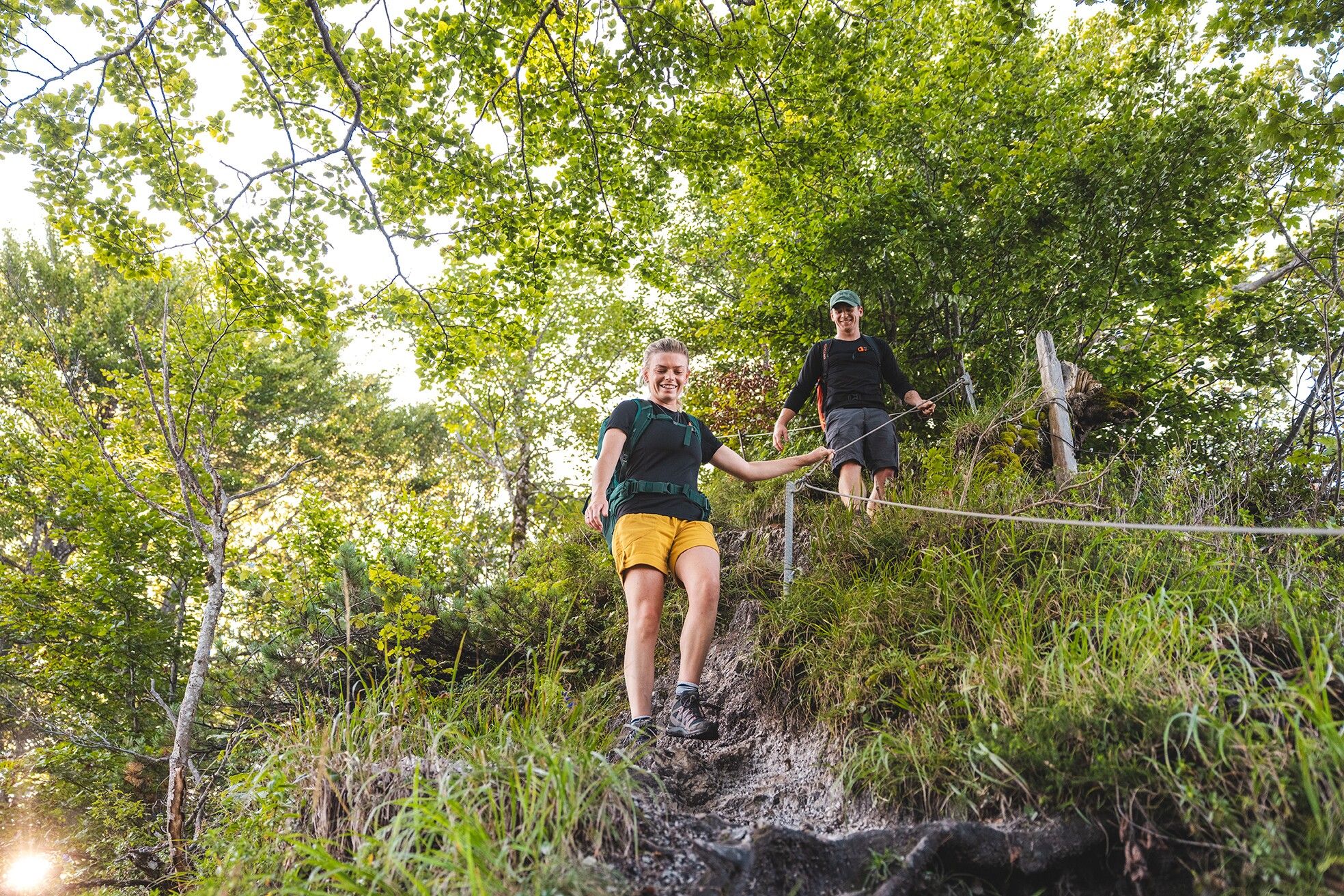

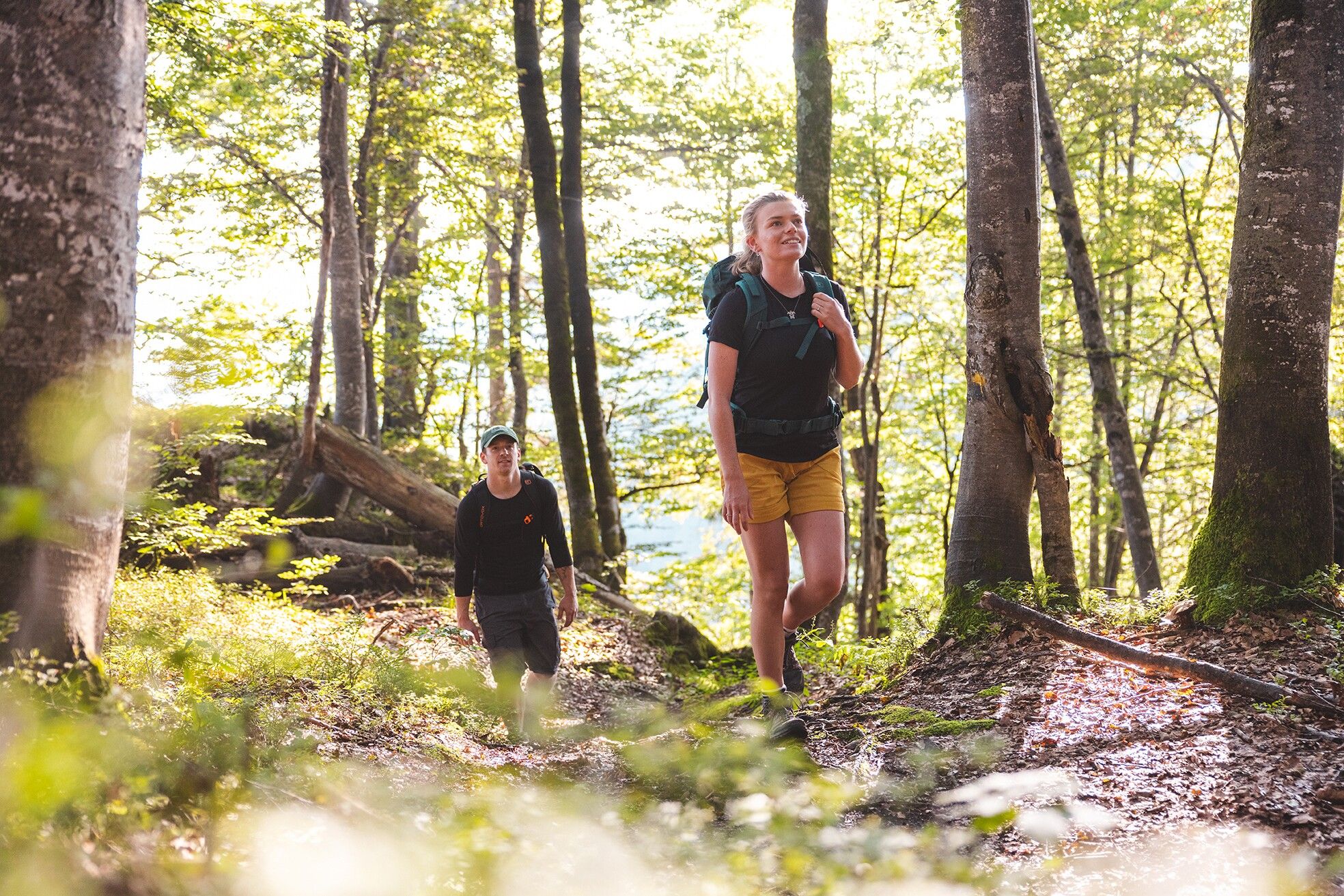
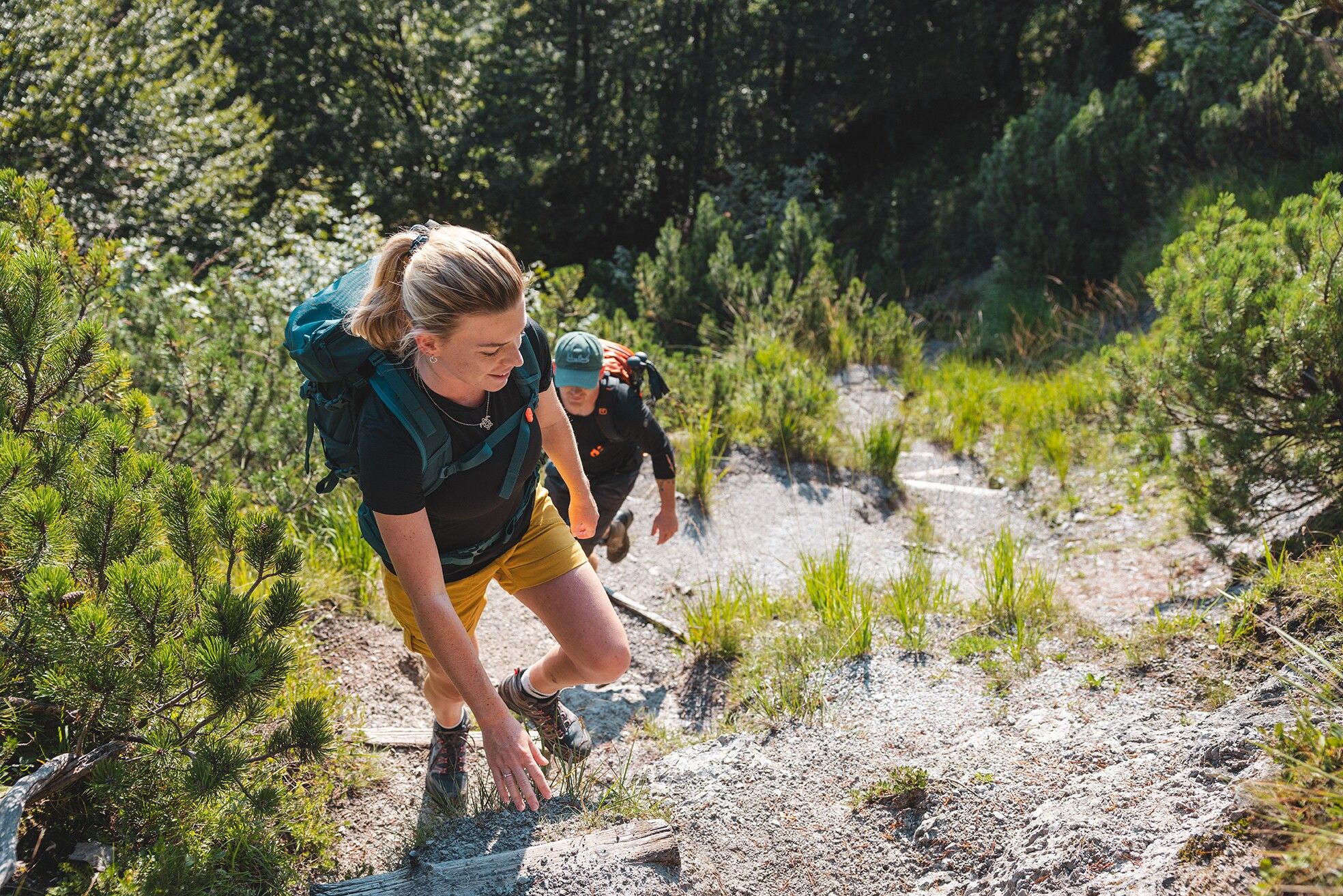
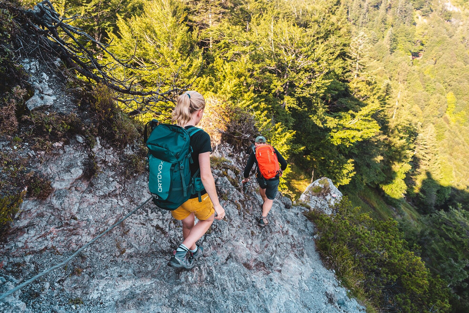
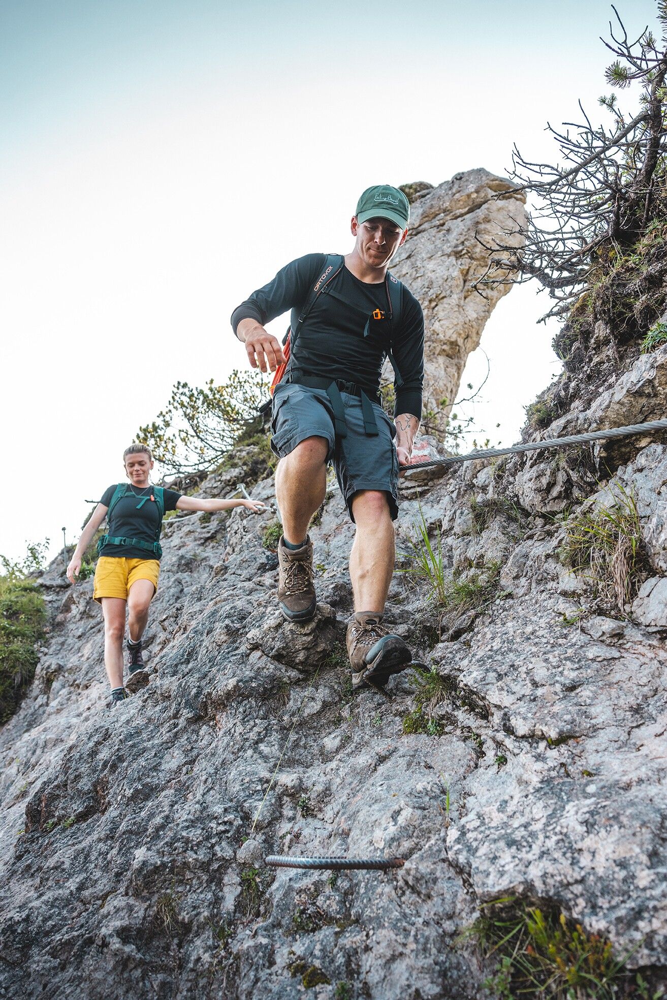
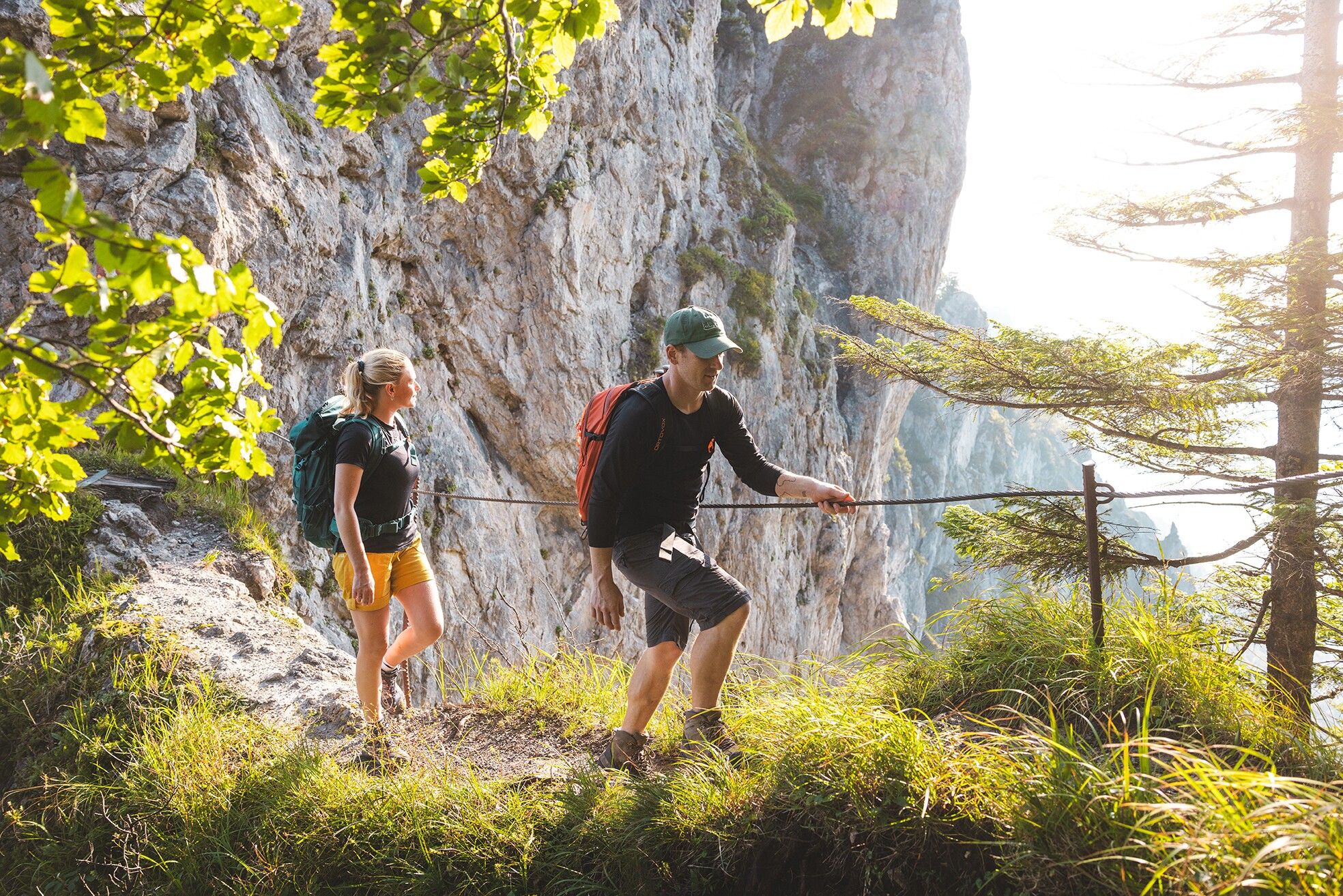
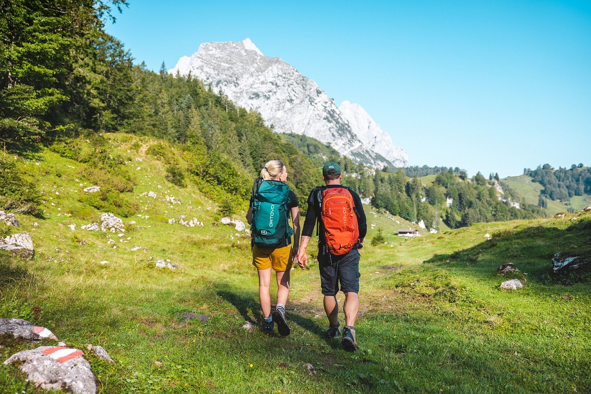
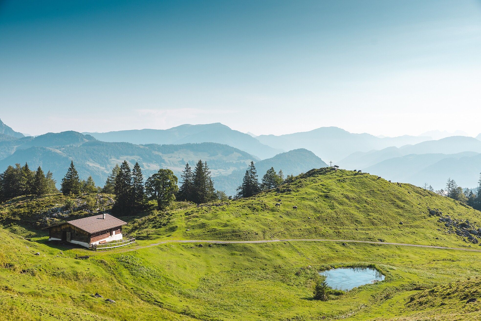
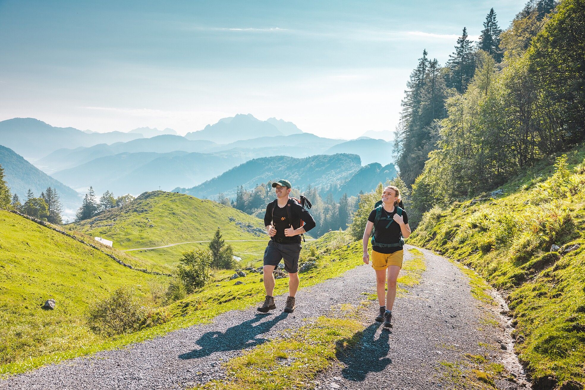
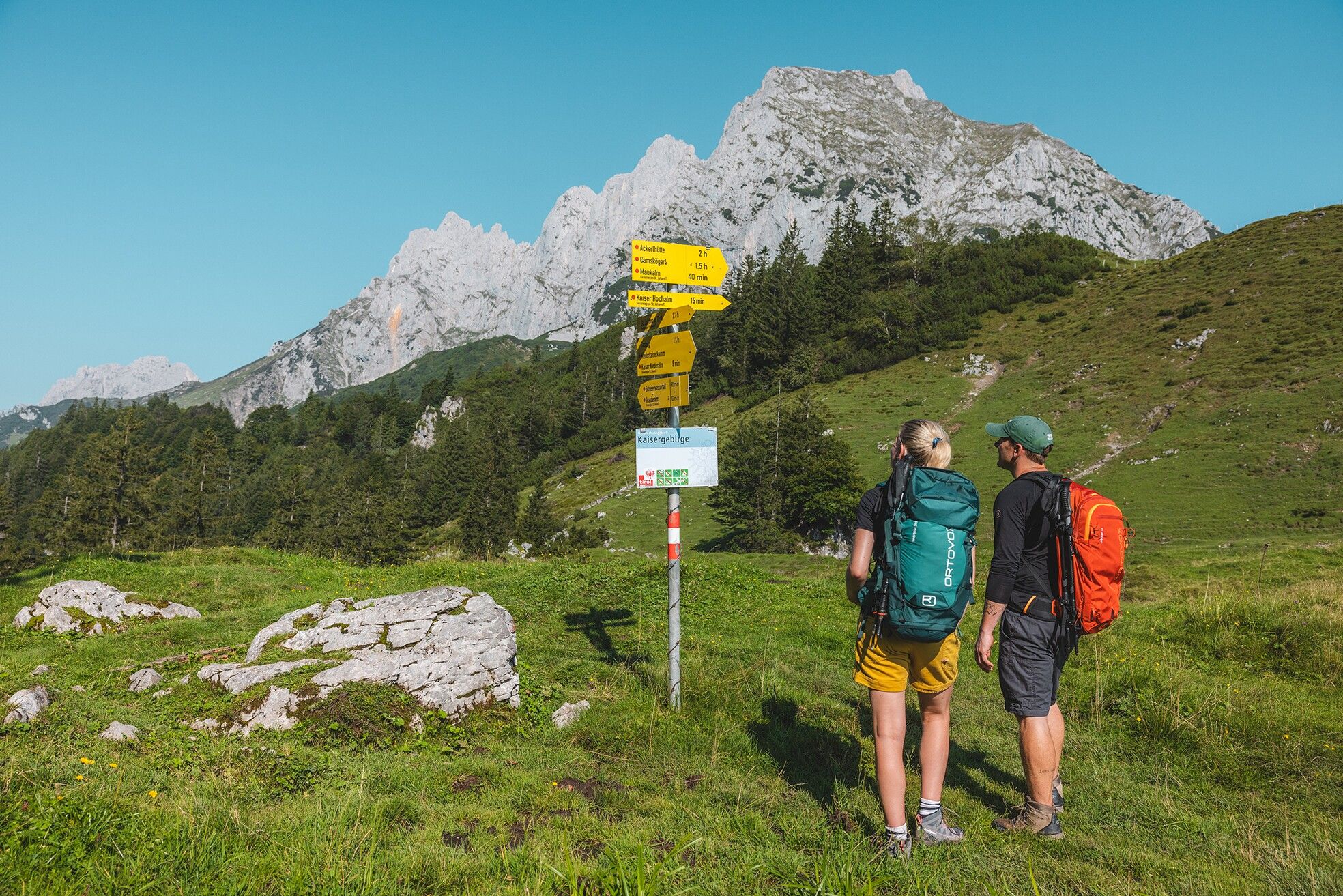
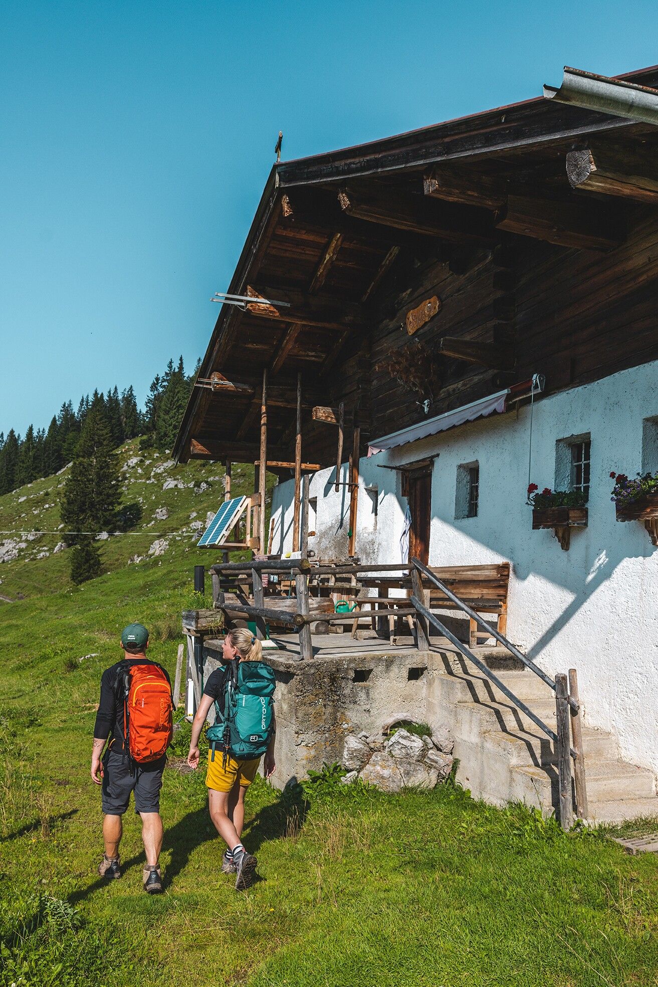
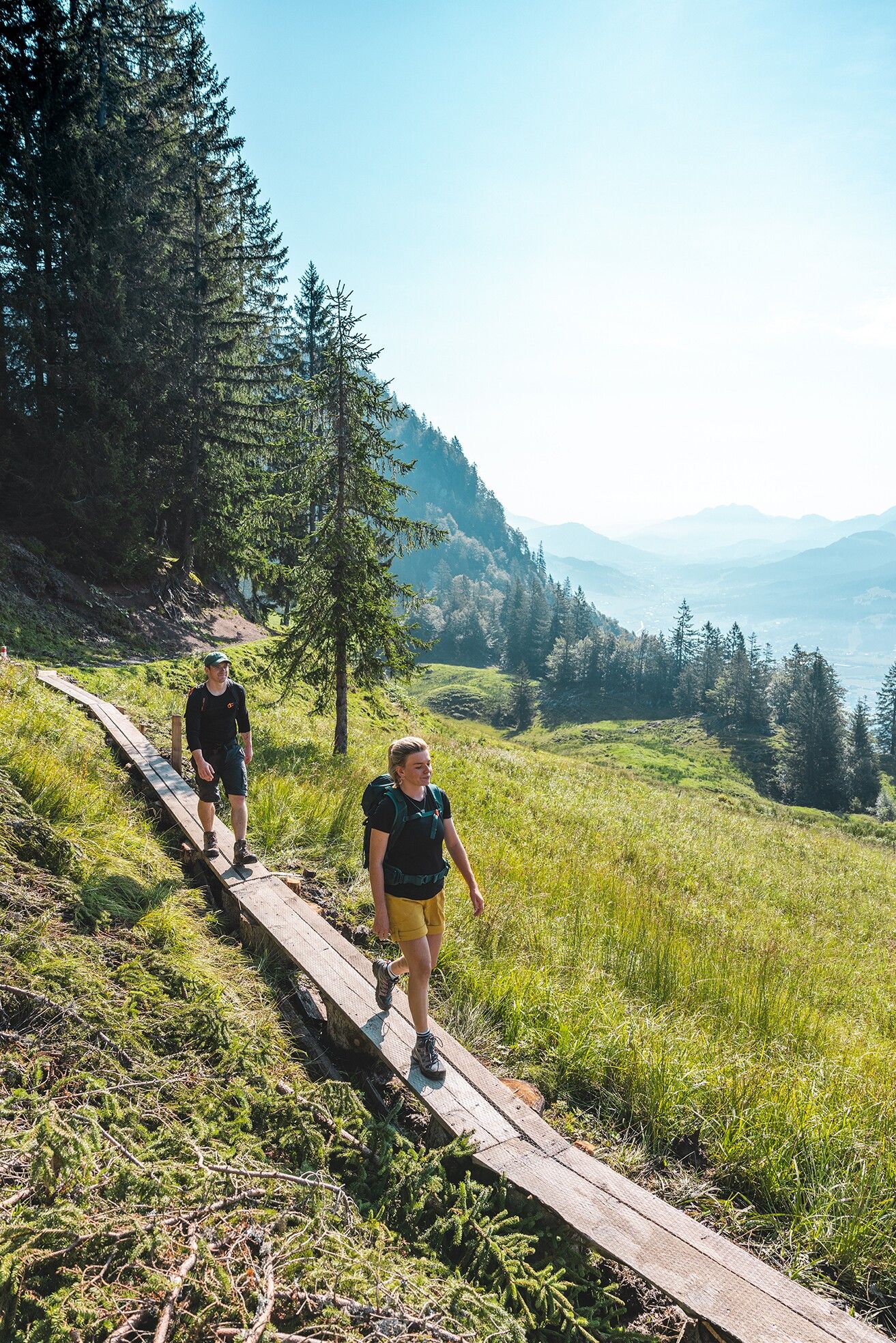
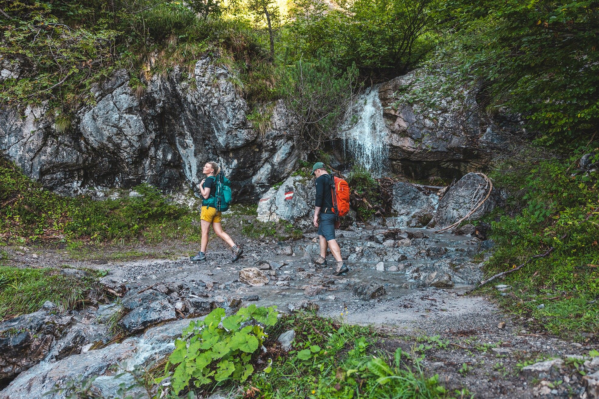
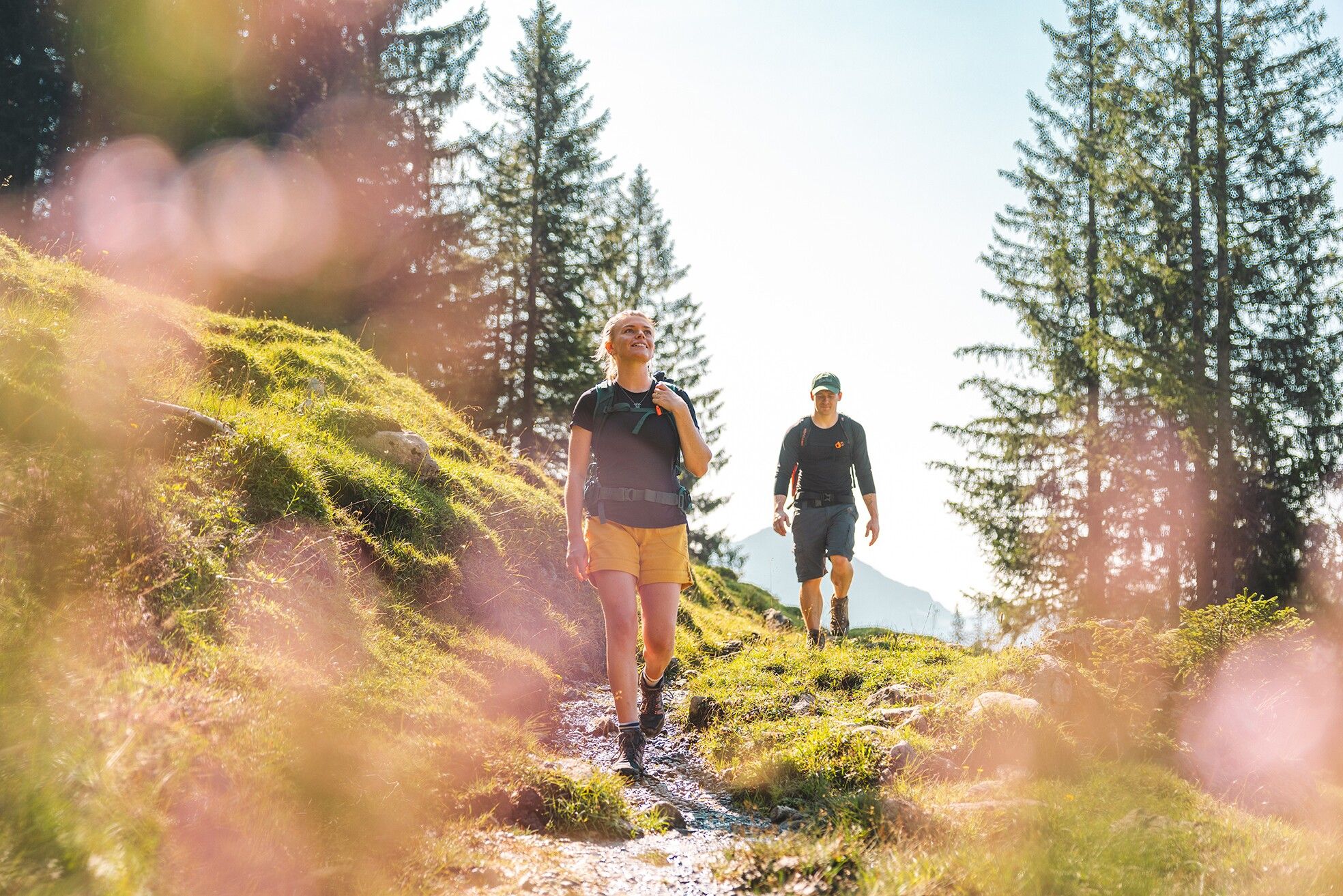
Varied trails, gentle forest paths, and the majestic Maukspitze always in view!
In Gasteig, follow the Signposting toward Niederkaiserkamm-WKS/Gscheuerkopf. Start by hiking along the forest trail through the woods; at the fork in the trail, keep left and pass the Rodelhütte. Continue across meadows past the Bacheralm, always heading toward the Niederkaiserkamm. Just before the Metzgeralm, continue south (toward the Niederkaiserkamm) on the forest trail. After a few curves, the trail toward the Niederkaiserkamm branches off to the right.
Continue uphill through the cool forest until you reach the Wilder Kaiser-Steig 823. Here, follow the trail westward toward Kaiseralm/Gscheuerkopf. After a section secured with a steel cable, the trail leads to the Ursulablick. Enjoy the view of the Kitzbühel Alps, including the Kitzbüheler Horn and the Maukspitze.
You’ll hike down and then back up a few steps along the Wilder Kaiser Steig until you reach the Gscheuerkopf (1,280 m). From here, the trail—partly exposed and secured with steel cables and iron clamps—continues over wonderfully soft forest floor to a gentle alpine pasture landscape. Follow the forest trail past the Einödalm and the Kaiser-Niederalm, and later Trail 819 in a southwesterly direction to the Granderalm. None of the alpine pastures mentioned are currently in operation.
On Trail 819/824 and later 827, the route passes north of the “Schleierwasserfall” climbing paradise , going past the Graspoint-Hochalm (toward the Ackerlhütte), with fantastic views of the Ackerlspitze and Maukspitze. Now you can take the turnoff to the south onto Trail 817 and hike back downthrough the Graspoint-Niederalm to the valley and your Starting Point in Going.
Be sureto bring plenty of food for this stage!
TIP for mountain enthusiasts who aren’t afraid of heights: Alternative route via the Schleierwasserfall
The descent down a steep, approximately 5-meter-long ladder is rewarded with the unique natural and climbing spectacle at the Schleierwasserfall.
▶ Alternative route: Descent via the Schleierwasserfall
The on-call taxi will take you from Going am Wilden Kaiser Hüttling back to the parking lot in Going.
Reservations must be made by8:00 p.m. the day beforeat the latestby calling: +43 (0)664 88222598, or alternatively +43 (0) 5358 21010
With the Wilder Kaiser GästeCard, the on-demand taxi service is free of charge.
You can find more information and the schedules on this page:
Local
Transportation | Wilder Kaiser
See "Kaiserkrone"—Full Route or Stage 1.


