Mountain hikes Schnackler Adventure Trail

Kirchdorf in Tirol / Kaiser Mountains
Difficulty ratings: easy
Route length: 3.8 km
Duration: 0:45 h

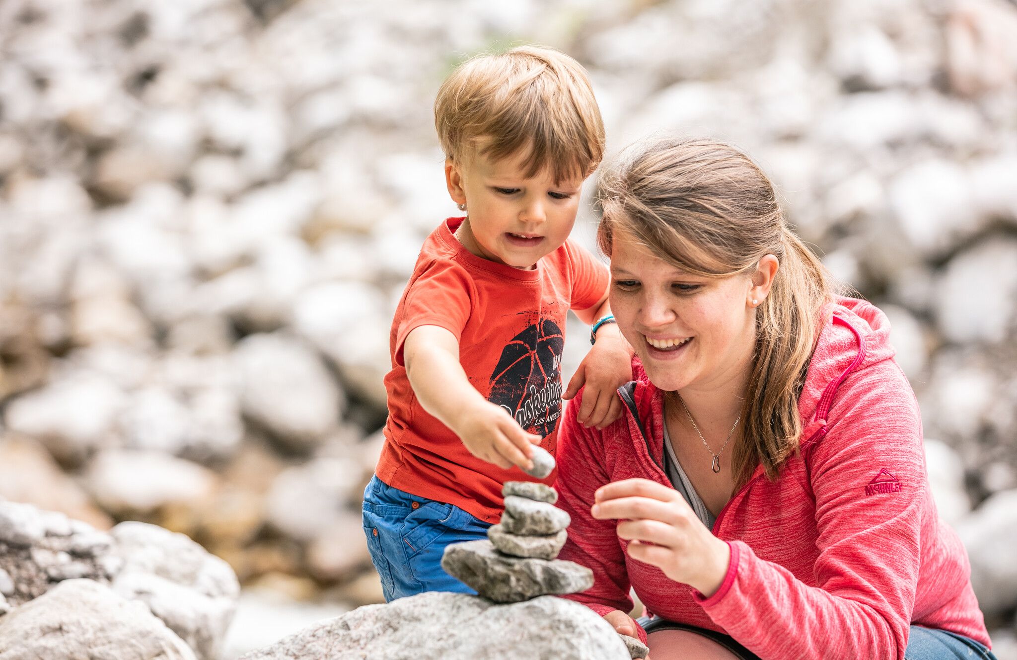
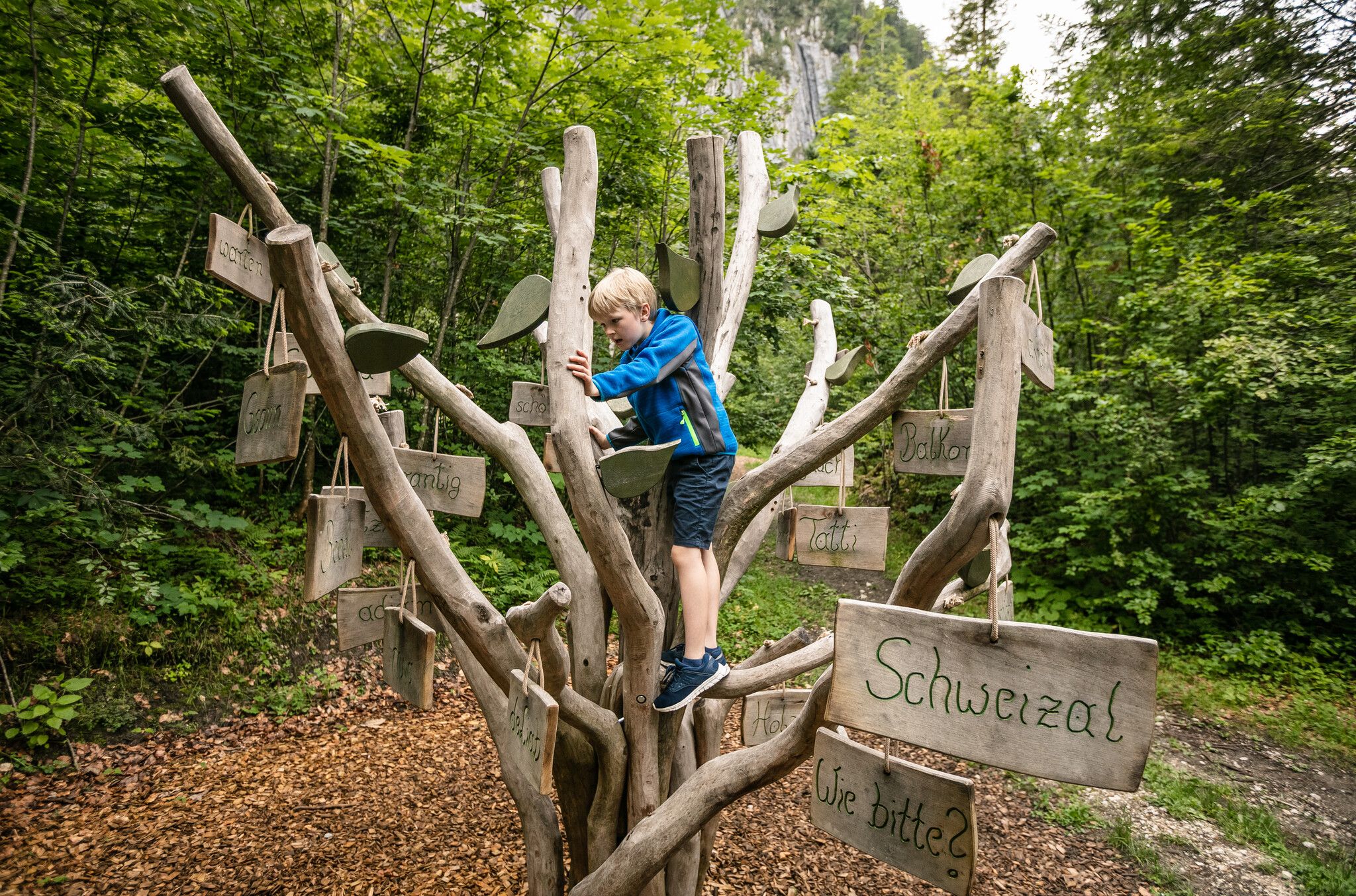
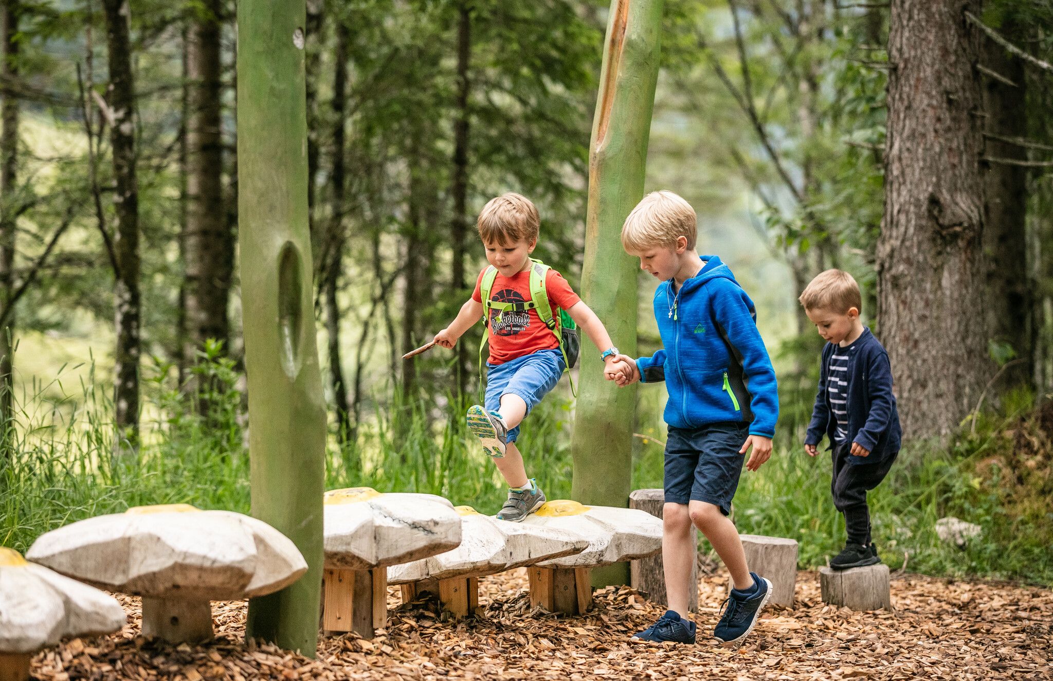
Set off on an adventure on the Schnackler adventure trail in the picturesque Kaiserbach valley! Here you can immerse yourself in the captivating story of the "Schnackler" and the "Koasabacha" - humorously told by children's book author Bettina Reiter. Balance, climb and laugh at every station - accompanied by the two legendary figures and the wonders of nature in the Kaiserbach Valley.

Tour character

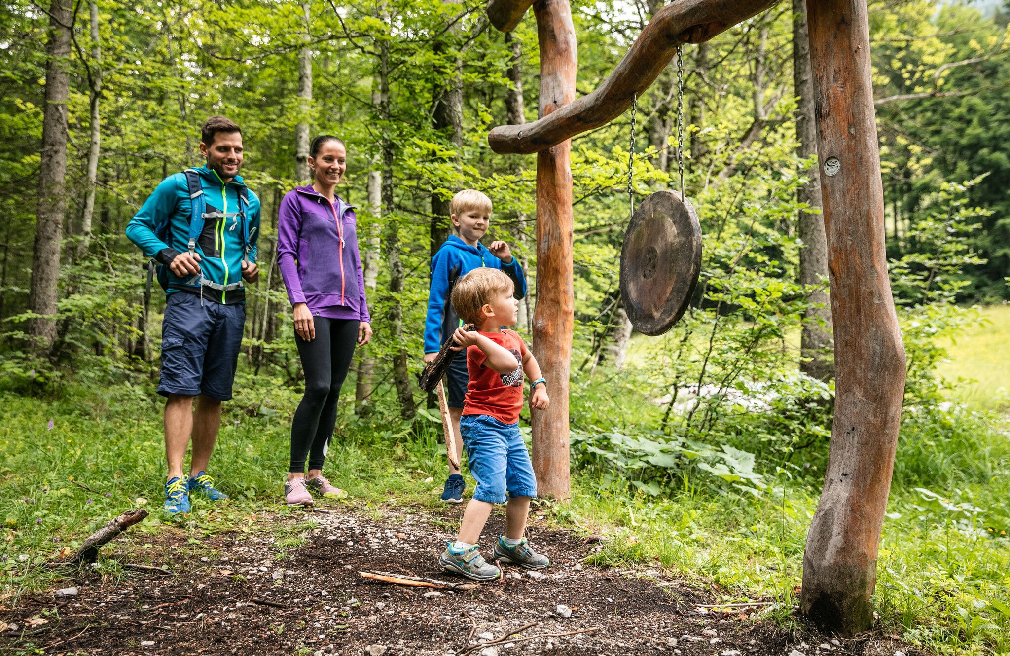
The Schnackler adventure trail in Kaiserbachtal is a child-friendly themed hike with an easy level of difficulty. An exciting adventure with many highlights awaits you over 2 kilometers and an altitude difference of just 130 meters. Play and knowledge elements bring the story of the "Schnackler" closer in a child-friendly way, while balance exercises, climbing opportunities and interactive stations provide variety. Barrier-free and pushchair-friendly, the trail is perfect for families with small children. Parking spaces and sanitary facilities are located at the toll station and along the route. At the start and end of the hike, you can stop off at the Fischbachalm or the Griesner Alm. The Alpine Outdoor Gallery is an equally exciting and family-friendly extension to the hike.
Tour information

  • Requirement: easy
  • Length: 3.8 km
  • Duration: 0:45 h
  • Elevation uphill:132 hm
  • Elevation downhill:133 hm
Highest point992 m

Starting point

Kaiserbachtal Wanderparkplatz

Finishing point

Kaiserbachtal Wanderparkplatz
  • Fitness level 2 / 6
  • Technique 1 / 6

Features

  • Suitable for families
  • suitable for pushchairs

Best time of year

  • January
  • February
  • March
  • April
  • May
  • June
  • July
  • August
  • September
  • October
  • November
  • December

Trail condition

Asphalt, gravel

Equipment

- outdoor clothing
- sturdy shoes
- Sufficient food and drinks
- First aid kit
- Mobile phone with full battery & charger
- Hiking map & guide literature
- GPS device or download the GPS data to your mobile phone if necessary
- Sun protection (sunglasses, sun cream, cap)
- Rain protection
- Cash
Source: Kitzbüheler Alpen Management GmbH

Description

Right at the access area to Alpine Outdoor Gallery, which starts at the car park before the toll point, is where the Schnackler adventure trail begins. This second area, specifically set up for younger visitors to Kaiserbach valley outlines the history of the "Schnackler" and the "Koasabacha" on several play and educational elements stations.

Nearby huts and mountain restaurants

Getting here

  • Arrival by public transport

    Postbus 4000 from St. Johann i.T. Bahnhof to Kirchdorf i.T. Griesenau (700m to parking Kaiserbachtal 1a)

    Return:
    Postbus 4000 from Kirchdorf i.T. Griesenau to St. Johann i.T. Bahnhof


  • Parking

    Starting from the region St. Johann in Tirol (Click here for driving description) follow the B176 to Griesenau and turn left to Kaiserbach valley
    Parking lot Kaiserbachtal (Kaiserbachtal 1a)

Weather

Today

partly Cloudy
9°C/2°C
5%0l5 km/h

Thu

clear sky
11°C/0°C
0%0l5 km/h

Fri

clear sky
11°C/-1°C
10%0l5 km/h
Go to weather forecast

More tours in the surrounding area

  • Koasa Trail Stage 3

    Difficulty:medium
    Length:19.9 kmDuration:7:10 hElevation uphill:730 m
  • Koasa Trail Stage 1

    Difficulty:medium
    Length:16.9 kmDuration:6:45 hElevation uphill:937 m
  • Kaiserkrone - stage 5

    Difficulty:medium
    Length:10.8 kmDuration:5:15 hElevation uphill:880 m
  • Kaiserkrone - stage 4

    Difficulty:medium
    Length:16.1 kmDuration:6:30 hElevation uphill:640 m
  • Koasa Trail Stage 4

    Difficulty:medium
    Length:20.6 kmDuration:7:35 hElevation uphill:923 m
  • Koasa Trail Stage 5

    Difficulty:medium
    Length:14.0 kmDuration:6:45 hElevation uphill:935 m
  • Hike to the Großer Rettenstein

    Difficulty:difficult
    Length:14.4 kmDuration:8:00 hElevation uphill:1,338 m
  • 1st stage KAT Walk Family

    Difficulty:medium
    Length:10.0 kmDuration:5:30 hElevation uphill:700 m
  • 2nd stage KAT Walk Family

    Difficulty:medium
    Length:13.5 kmDuration:7:00 hElevation uphill:961 m
  • 3rd stage KAT Walk Family

    Difficulty:medium
    Length:21.0 kmDuration:8:00 hElevation uphill:1,250 m
  • Kleine Salve & Hohe Salve summit tour

    Difficulty:medium
    Length:7.4 kmDuration:2:45 hElevation uphill:350 m
  • Adolari Round

    Difficulty:easy
    Length:8.2 kmDuration:2:30 hElevation uphill:70 m
  • Koasa Trail

    Difficulty:medium
    Length:83.0 kmDuration:5 daysElevation uphill:4,700 m
  • Big Griesbach Loop

    Difficulty:medium
    Length:6.1 kmDuration:2:10 hElevation uphill:223 m
  • Kaiserbachtal - Feldberg - Stripsenjoch

    Difficulty:medium
    Length:21.0 kmDuration:9:00 hElevation uphill:1,170 m
  • KAT WALK ALPINE

    Difficulty:medium
    Length:113.0 kmDuration:6 daysElevation uphill:6,300 m
Newsletter

The mountain is calling? So does our newsletter!

In our monthly newsletter we reveal the best holiday tips for Tyrol.