Mountain hikes Big Griesbach Loop

Kirchdorf in Tirol / Lofer Stone Mountains
Difficulty ratings: medium
Route length: 6.1 km
Duration: 2:10 h

A Fantastic Hike for Nature Lovers

Tour information

  • Requirement: medium
  • Length: 6.1 km
  • Duration: 2:10 h
  • Elevation uphill:223 hm
  • Elevation downhill:223 hm
Highest point862 m

Starting point

Erpfendorf - Parking lot Griesbachklamm

Finishing point

Erpfendorf - Parking lot Griesbachklamm
  • Fitness level 2 / 6
  • Technique 2 / 6

Features

  • Circular route
  • Suitable for families

Best time of year

  • January
  • February
  • March
  • April
  • May
  • June
  • July
  • August
  • September
  • October
  • November
  • December

Trail condition

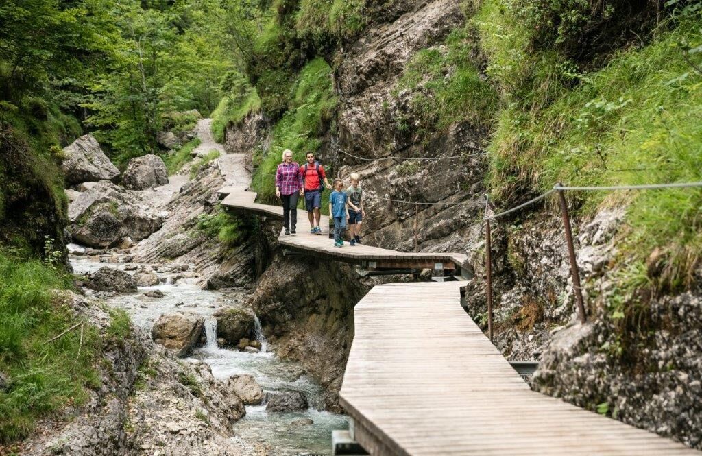
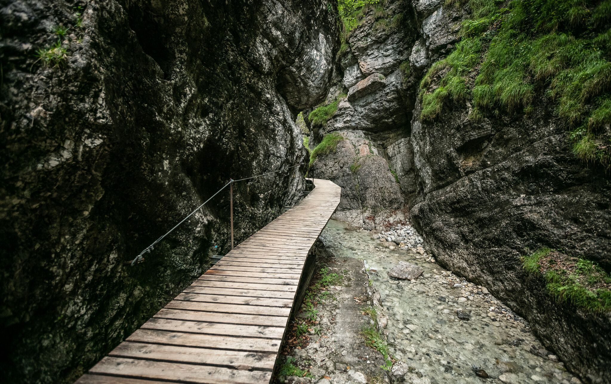
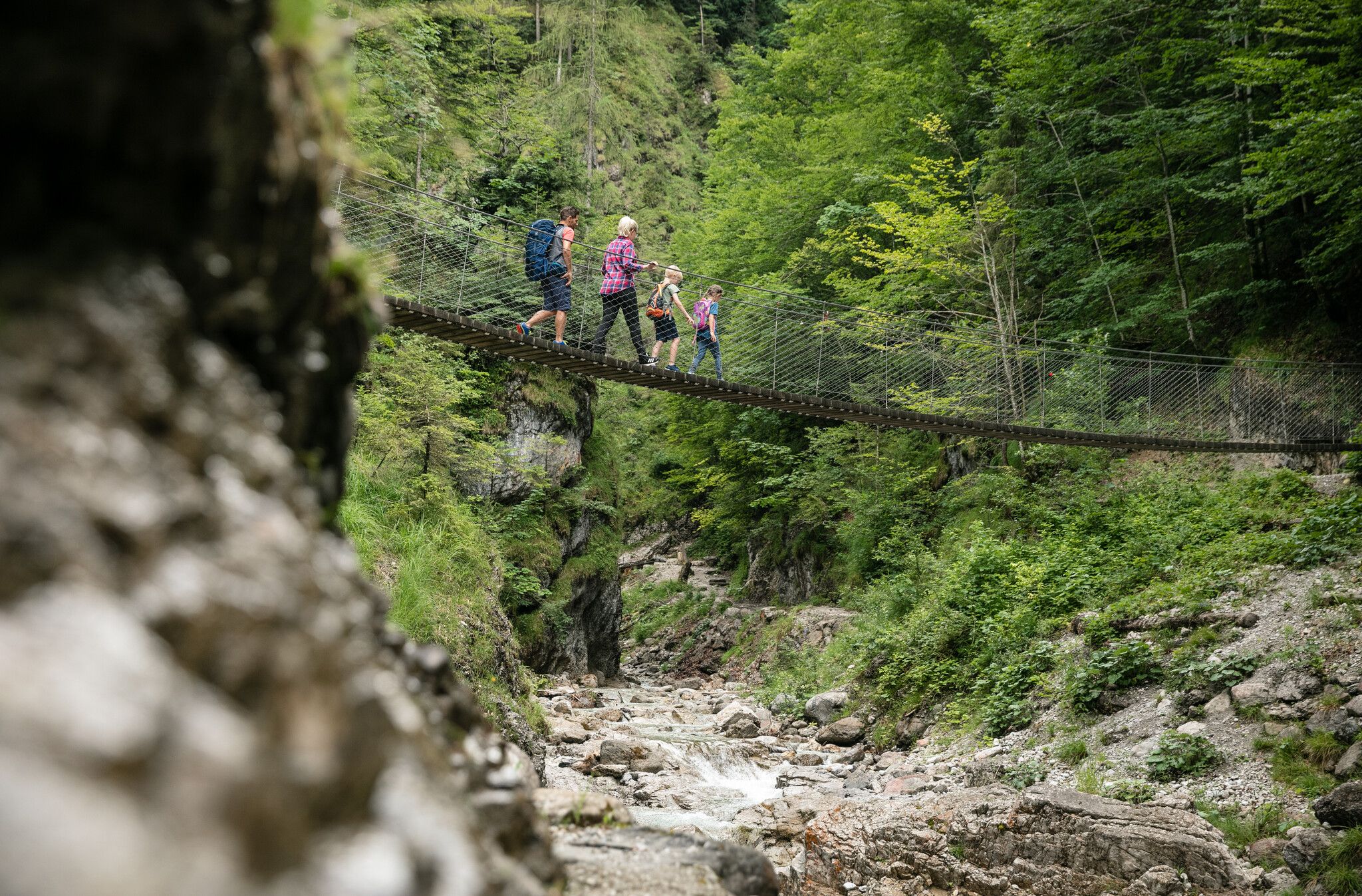
This hiking trail runs over rocks, boardwalks and bridges

Equipment

  • outdoor clothing
  • sturdy shoes
  • Sufficient food and drinks
  • First aid kit
  • Mobile phone with full battery & charger
  • Hiking map & guide literature
  • GPS device or download the GPS data to your mobile phone if necessary
  • Sun protection (sunglasses, sun cream, cap)
  • Rain protection
  • Cash
Source: Kitzbüheler Alpen Management GmbH

Description

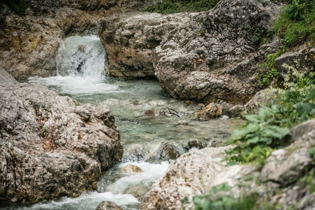
The big Griesbach loop follows the short Griesbach loop all the way to the second suspension bridge, but this time you make a right instead of a left. After a few minutes the trail leads past a roaring waterfall. In the ensuing section of the trail the water flows quietly, and there is a stillness in the air. After hiking up and out of the gorge, you will reach a second waterfall.  The trail then continues into a wide valley with sand bars where you can relax and enjoy the scenery. Continue past the sand bars further into valley. At a junction, turn left and continue across a bridge to the Griesbachkanzel vista point. Follow the historic lumberjack trail through a pristine forest back to the parking lot. 

Nearby huts and mountain restaurants

Getting here

  • Arrival by public transport

    Boarding: St. Johann in Tirol Banhhof bus stop with Postbus 4012 
    Exit: Griesbachklamm bus stop in Erpfendorf
    Or conveniently with the Okto - hiking bus, which runs in the St. Johann in Tirol region from Monday to Friday in summer.
    All information and journey times can be found here:
    kitzalps.cc/mobil

  • Parking

    Starting from the St. Johann in Tirol region (for directions, see here), follow the B178 towards Lofer as far as Erpfendorf. You will pass the village of Kirchdorf and the large ‘Steinbacher Dämmstoffe’ company on your left. Now you have almost reached your destination - shortly before the 5* hotel ‘der Lärchenhof’ a large green sign shows you the Griesbachklamm gorge. Follow the road and turn right at the Griesbachklamm car park (Salzburger Straße) or to car park II in the centre of Erpfendorf (Clemens-Holzmeister-Weg).
    Paid car park
    Griesbachklamm car park I (Salzburger Straße)
    Griesbachklamm car park II near the centre of Erpfendorf (Clemens-Holzmeister-Weg)

Weather

Today

mainly clear
23°C/9°C
45%1.6l5 km/h

Mon

light rain showers
20°C/9°C
50%2.9l5 km/h

Tue

clear sky
22°C/7°C
5%0.6l5 km/h
Go to weather forecast

More tours in the surrounding area

  • Kaiserbachtal - Feldberg - Stripsenjoch

    Difficulty:medium
    Length:21.0 kmDuration:9:00 hElevation uphill:1,170 m
  • Kleine Salve & Hohe Salve summit tour

    Difficulty:medium
    Length:7.4 kmDuration:2:45 hElevation uphill:350 m
  • 1st stage KAT Walk Family

    Difficulty:medium
    Length:10.0 kmDuration:5:30 hElevation uphill:700 m
  • 3rd stage KAT Walk Family

    Difficulty:medium
    Length:21.0 kmDuration:8:00 hElevation uphill:1,250 m
  • 2nd stage KAT Walk Family

    Difficulty:medium
    Length:13.5 kmDuration:7:00 hElevation uphill:961 m
  • KAT WALK ALPINE

    Difficulty:medium
    Length:113.0 kmDuration:6 daysElevation uphill:6,300 m
  • Koasa Trail Stage 4

    Difficulty:medium
    Length:20.6 kmDuration:7:35 hElevation uphill:923 m
  • Koasa Trail Stage 1

    Difficulty:medium
    Length:16.9 kmDuration:6:45 hElevation uphill:937 m
  • Koasa Trail Stage 3

    Difficulty:medium
    Length:19.9 kmDuration:7:10 hElevation uphill:730 m
  • Koasa Trail Stage 5

    Difficulty:medium
    Length:14.0 kmDuration:6:45 hElevation uphill:935 m
  • Kaiserkrone - stage 4

    Difficulty:medium
    Length:16.1 kmDuration:6:30 hElevation uphill:640 m
  • Kaiserkrone - stage 5

    Difficulty:medium
    Length:10.8 kmDuration:5:15 hElevation uphill:840 m
  • Alpine Outdoor Gallery

    Difficulty:easy
    Length:6.7 kmDuration:2:00 hElevation uphill:117 m
  • Koasa Trail Stage 2

    Difficulty:medium
    Length:11.8 kmDuration:7:15 hElevation uphill:1,078 m
  • Eifersbacher Wasserfall

    Difficulty:medium
    Length:5.9 kmDuration:2:30 hElevation uphill:241 m
  • The Wiegalm

    Difficulty:medium
    Length:10.5 kmDuration:4:45 hElevation uphill:680 m
Newsletter

The mountain is calling? So does our newsletter!

In our monthly newsletter we reveal the best holiday tips for Tyrol.