Mountain hikes Teufelsgasse - "Devil's Lane"

Kirchdorf in Tirol / Kaiser Mountains
Difficulty ratings: medium
Route length: 7.6 km
Duration: 3:00 h

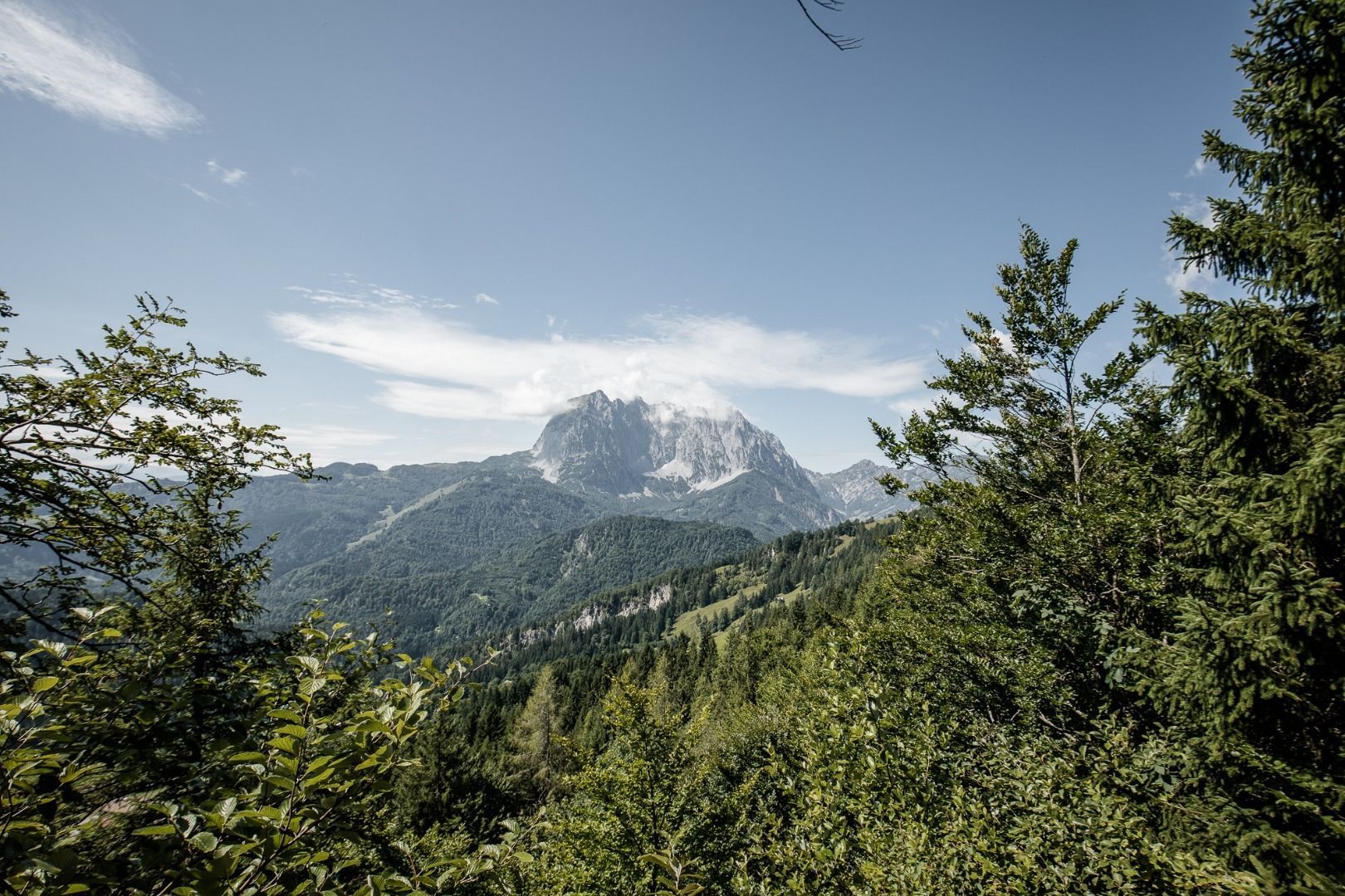
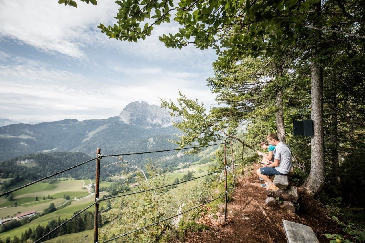
Atmospheric Hike through Narrow and Steep Rock Walls. Beautiful Views. Pristine Alpine Pastures. A Great Hike for All Ages.
Tour information

  • Requirement: medium
  • Length: 7.6 km
  • Duration: 3:00 h
  • Elevation uphill:343 hm
  • Elevation downhill:340 hm
Highest point1,254 m

Starting point

Kirchdorf - Parking lot Hinterberg

Finishing point

Kirchdorf - Parking lot Hinterberg
  • Fitness level 2 / 6
  • Technique 2 / 6

Features

  • Circular route
  • Suitable for families

Best time of year

  • January
  • February
  • March
  • April
  • May
  • June
  • July
  • August
  • September
  • October
  • November
  • December

Trail condition

Asphalt, gravel, rocky narrow hiking paths

Equipment

- outdoor clothing
- sturdy shoes
- Sufficient food and drinks
- First aid kit
- Mobile phone with full battery & charger
- Hiking map & guide literature
- GPS device or download the GPS data to your mobile phone if necessary
- Sun protection (sunglasses, sun cream, cap)
- Rain protection
- Cash
Source: Kitzbüheler Alpen Management GmbH

Description

This hike starts at a small chapel on the hiking parking lot in Hinterberg (between Kirchdorf’s hamlets of Gasteig & Griesenau). Follow the signs to Teufelsgasse (Devil’s Lane). For the first 40 minutes the trail climbs along a forest road past farmhouses and into a forest. Once the forest starts to thin out you will see the sign to “Teufelsgasse”. Follow the narrow path to the right. After 300 meters the path heads into a shady forest and
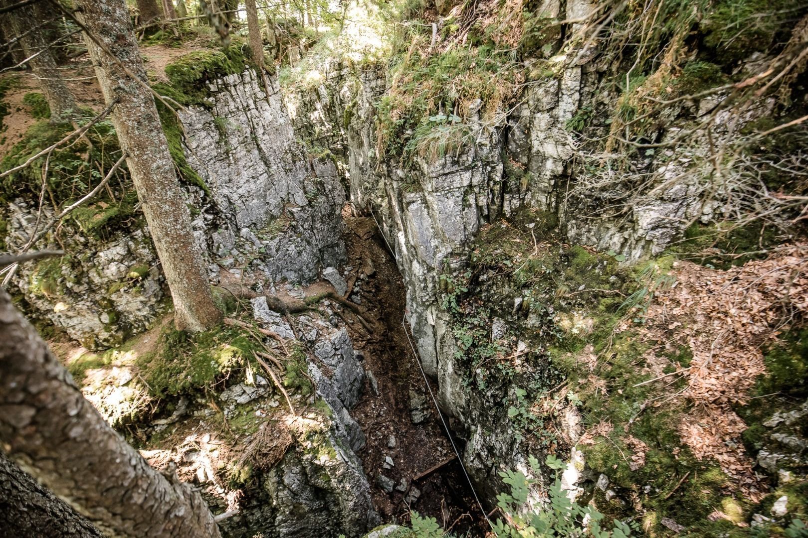
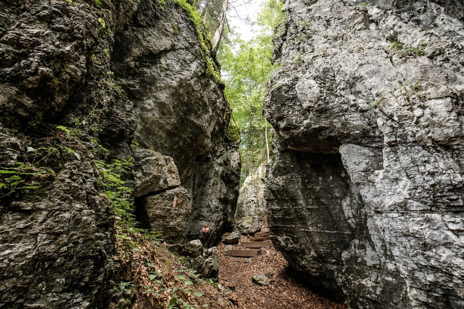
meanders up and down along the Leerberg plateau and through narrow rock splits (secured with ropes or cables), the so called Devil’s Lane. Legend has it, that the devil himself had hewn this maze into the rock to lead sinful souls astray. Once you have past Devil’s Lane (approx. 45 minutes), the trail continues through sunny pastures to Prostalm. Follow the forest road past Marcheralm back to Hinterberg.

Nearby huts and mountain restaurants

Getting here

  • Arrival by public transport

    Postbus 4000 getting off station: Kirchdorf i.T. Hinterberg
     

  • Parking

    Coming from Kitzbühel/St Johann on the B161, drive towards Salzburg. In St. Johann, leave the second roundabout on Salzburger Straße at the second exit. Take the exit left to Kössen/Schwendt and drive slightly uphill on the B176. You will next pass the Kirchdorf district of Gasteig and shortly afterwards you will see the traffic signs which will lead you to "HINTERBERG" 

    Coming from Waidring/Erpfendorf/Kirchdorf, head towards St. Johann. Follow the B178 and turn right towards Kirchdorf. At the church in Kirchdorf take the Gasteiger Straße in the direction of Kössen/Schendt. Drive slightly uphill on the B176. You will then pass the Kirchdorf district of Gasteig and shortly afterwards  you will see the traffic signs which will lead you to "HINTERBERG" 

    This will take you to the St. Johann in Tirol region: 
    www.kitzbueheler-alpen.com/en/stjo/getting-here/holidays.html
    Kirchdorf i.T. Gasteig Hinterberg hiking parking lot (chargeable parking)

Weather

Today

mainly clear
10°C/2°C
10%0l5 km/h

Mon

partly Cloudy
10°C/1°C
80%3.9l5 km/h

Tue

light rain
9°C/3°C
80%4.6l5 km/h
Go to weather forecast

More tours in the surrounding area

  • Kaiserkrone - stage 5

    Difficulty:medium
    Length:10.8 kmDuration:5:15 hElevation uphill:880 m
  • Kaiserkrone - stage 4

    Difficulty:medium
    Length:16.1 kmDuration:6:30 hElevation uphill:640 m
  • Koasa Trail Stage 4

    Difficulty:medium
    Length:20.6 kmDuration:7:35 hElevation uphill:923 m
  • Koasa Trail Stage 1

    Difficulty:medium
    Length:16.9 kmDuration:6:45 hElevation uphill:937 m
  • Koasa Trail Stage 3

    Difficulty:medium
    Length:19.9 kmDuration:7:10 hElevation uphill:730 m
  • Koasa Trail Stage 5

    Difficulty:medium
    Length:14.0 kmDuration:6:45 hElevation uphill:935 m
  • Koasa Trail Stage 2

    Difficulty:medium
    Length:11.8 kmDuration:7:15 hElevation uphill:1,078 m
  • Alpine Outdoor Gallery

    Difficulty:easy
    Length:6.7 kmDuration:2:00 hElevation uphill:117 m
  • The Wiegalm

    Difficulty:medium
    Length:10.5 kmDuration:4:45 hElevation uphill:680 m
  • Brechhorn

    Difficulty:medium
    Length:11.8 kmDuration:5:00 hElevation uphill:600 m
  • Bichlachrunde

    Difficulty:easy
    Length:10.5 kmDuration:3:30 hElevation uphill:295 m
  • Möslalmkogel via Wörgl

    Difficulty:medium
    Length:10.3 kmDuration:3:30 hElevation uphill:580 m
  • Schafsiedel

    Difficulty:medium
    Length:15.6 kmDuration:7:00 hElevation uphill:1,280 m
  • Angerer Alm

    Difficulty:medium
    Length:5.7 kmDuration:2:45 hElevation uphill:652 m
Newsletter

The mountain is calling? So does our newsletter!

In our monthly newsletter we reveal the best holiday tips for Tyrol.