

Place:Hopfgarten im Brixental
:Alpine pasture / hut / mountain restaurant
In Tirol, “small” and “big” aren’t opposites—they usually go hand in hand. And that’s exactly how you should approach things here, since the Hohe Salve is one of the most popular mountains for scenic views, and the Hexenwasser offers a magical world of adventure for children.
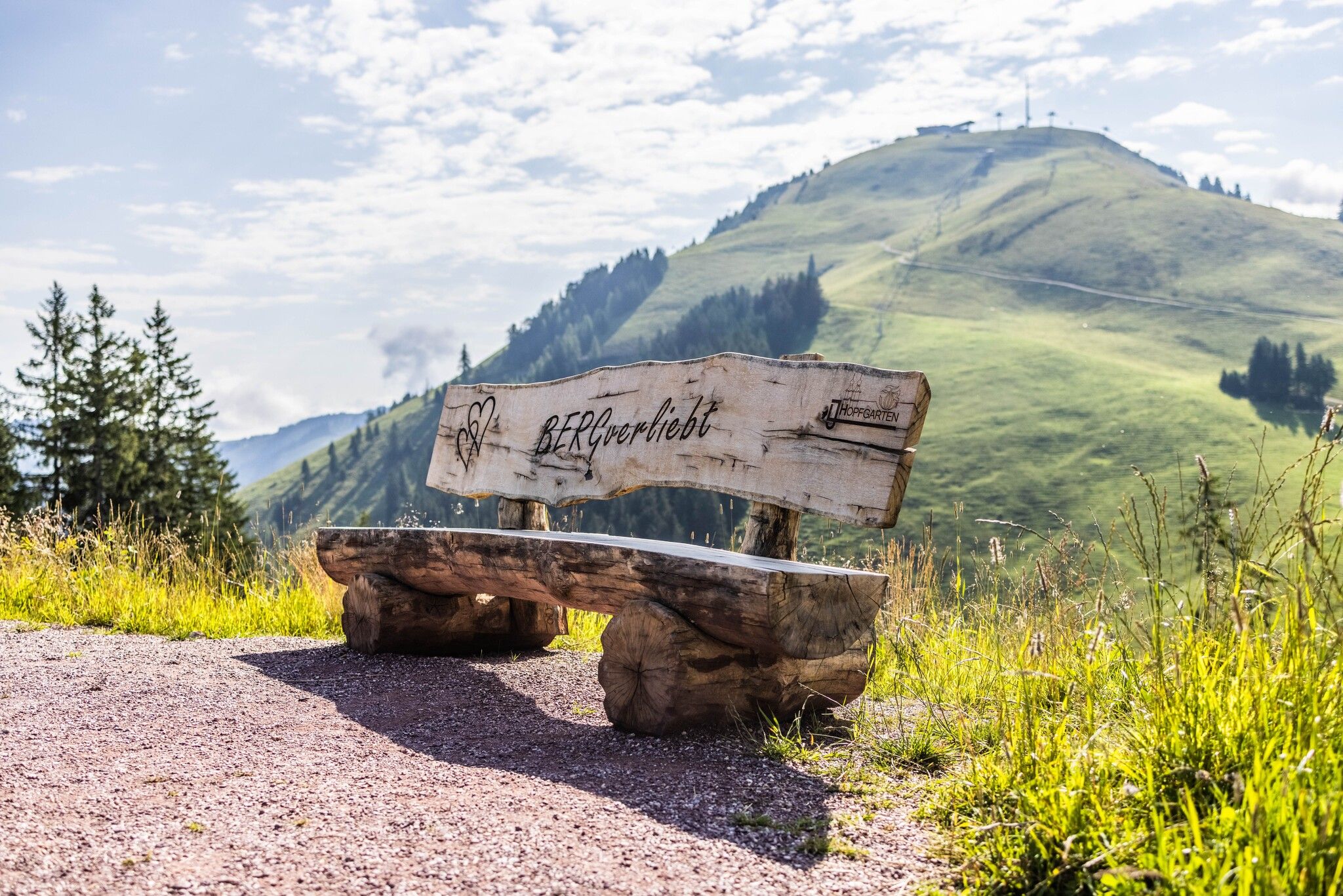
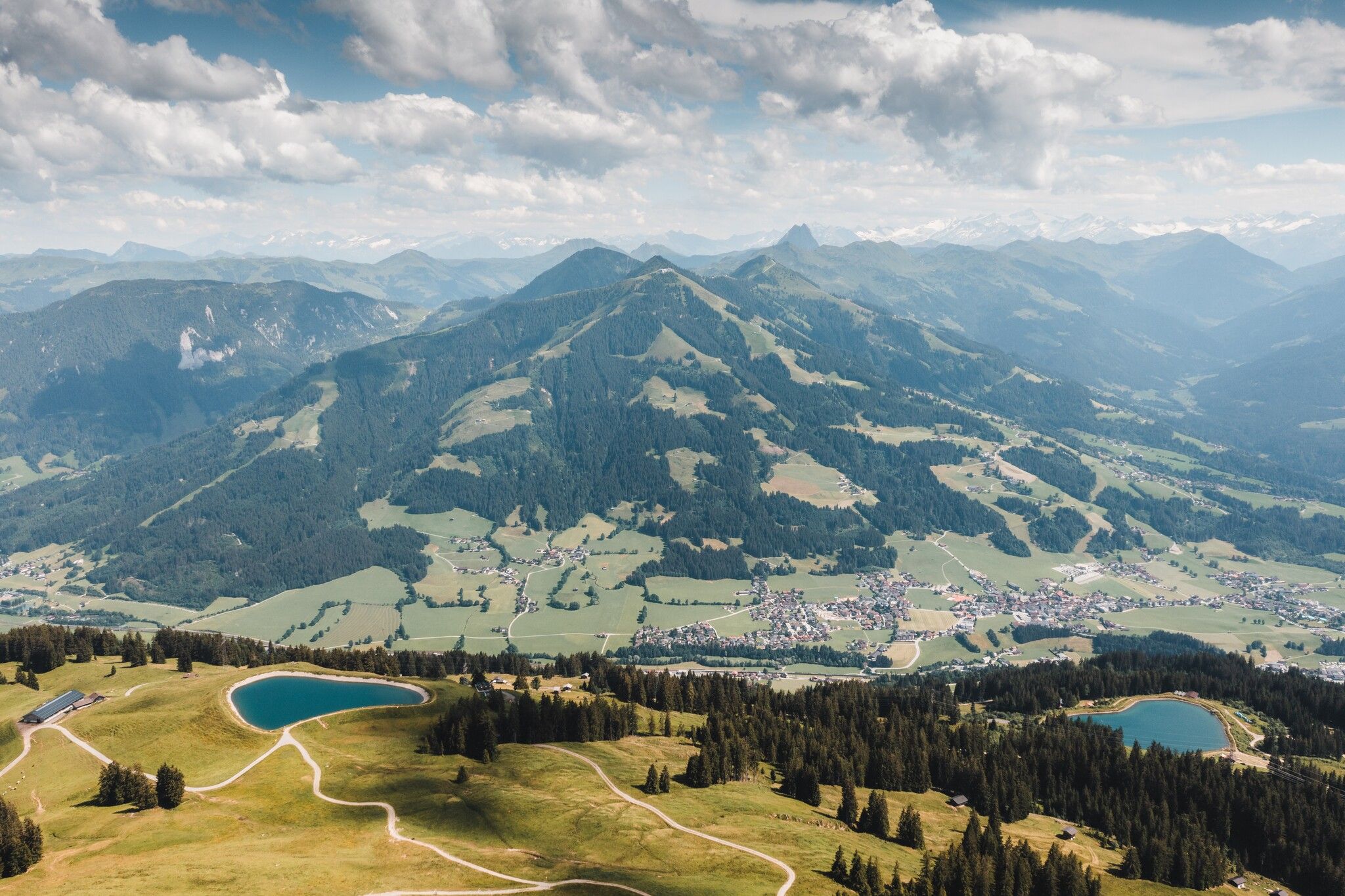
A varied summit hike in the Kitzbühel Alps that offers two scenic peaks, idyllic lakes, and several cozy places to stop for refreshments, making for an all-around enjoyable day in the mountains. From the Kleine Salve to the Salvensee and up the sunny south-facing slope to the Hohe Salve, where the summit cross, the Gipfelalm, and Austria’s highest pilgrimage church round out the panoramic experience. The hike maintains an intermediate trail difficulty overall on forest and mountain trails, with a slightly steeper final ascent. If hiking with children, be sure to include the Hexenwasser Adventure World as an alternative stop.
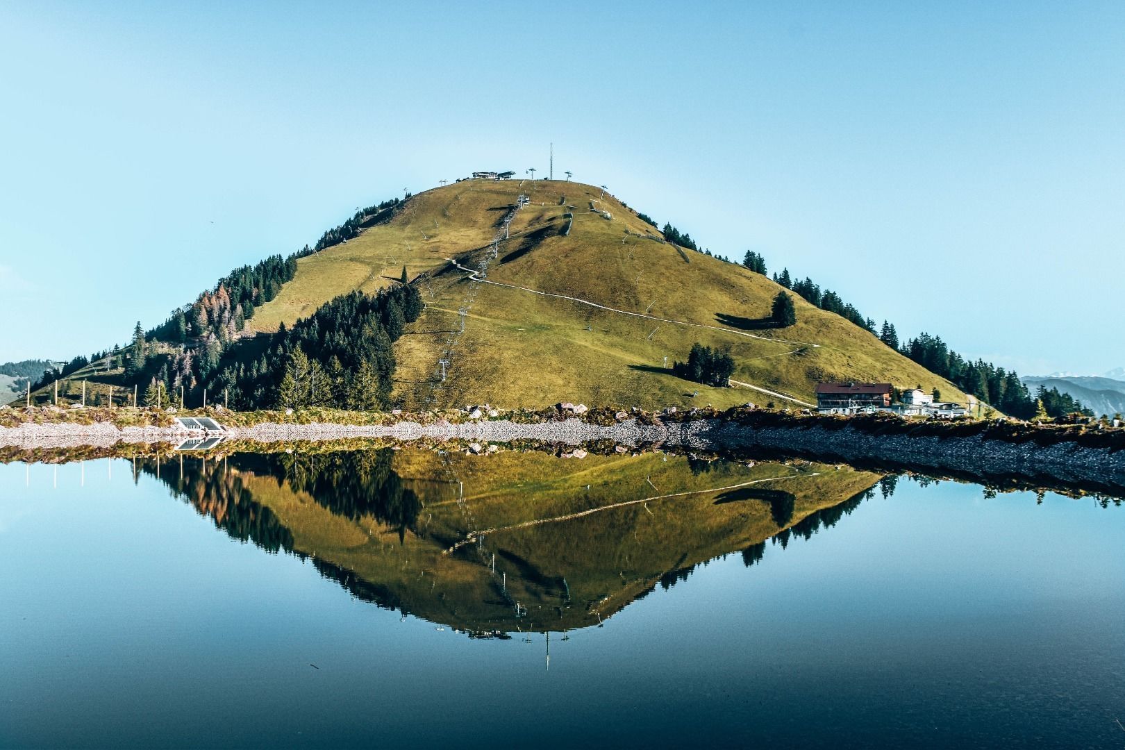
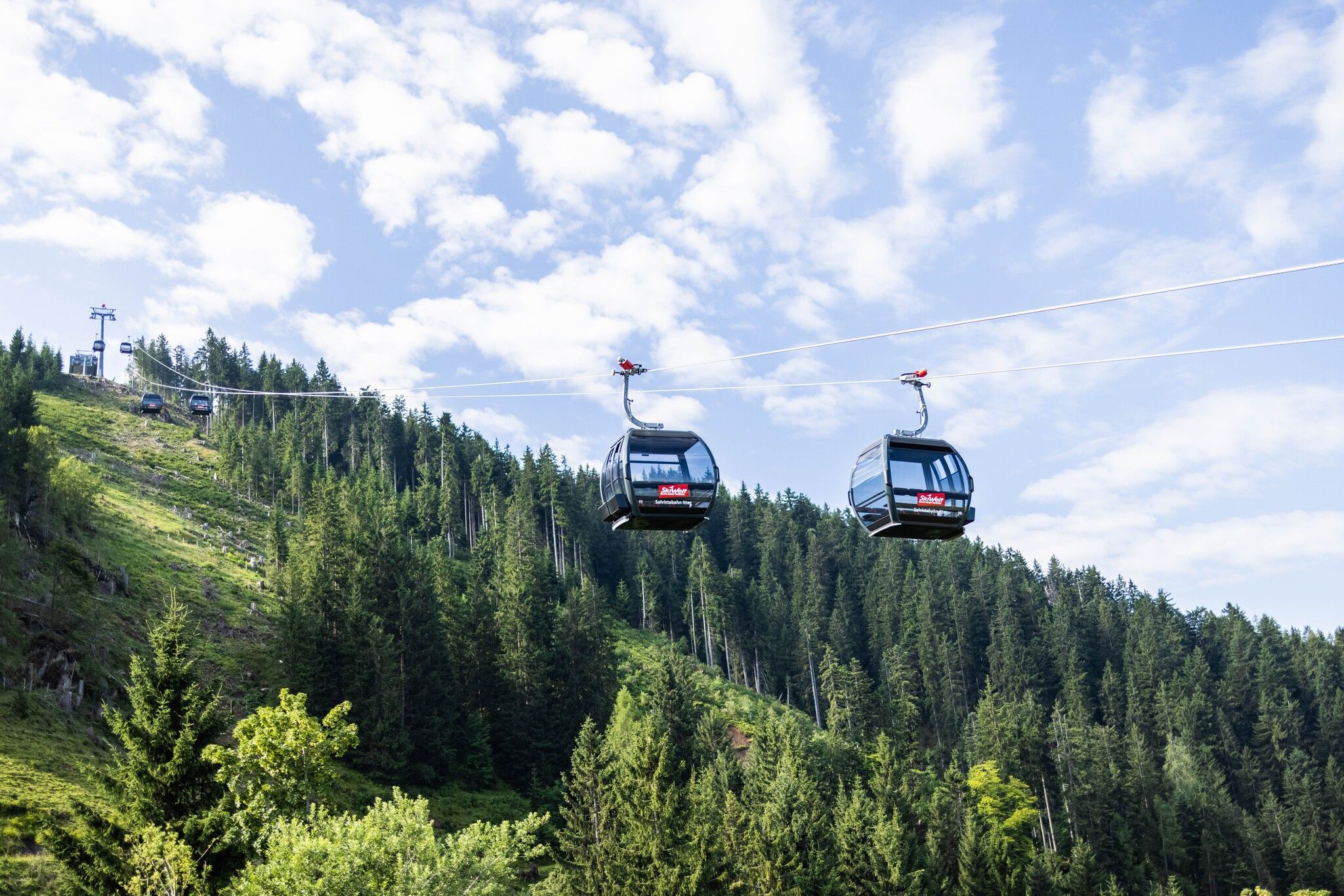
The starting point of this versatile tour is the mountain station of the Salvistabahn Itter on the Kleine Salve. From there, follow the signs towards Alpengasthof Rigi (path no. 68/70), passing the Kleine Salve reservoir.
Below the summit, continue along path no. 71 to the Salvensee. The final, somewhat steeper ascent via hiking trail no. 90/95 leads across the southern slope to the summit of the Hohe Salve.
The return journey follows path no. 65 on the other side of the Hohe Salve to the Itter middle station, passing the Alpengasthof Rigi once again. Alternatively, you could hike back to the mountain station of the Kleine Salve and take the gondola directly down to the valley, or continue towards KRAFTalm via forest road no. 70 or the Kleine Salve trail. From the KRAFTalm at the middle station, take the gondola down to the valley.
If you wish to extend the hike, path no. 69 continues all the way to Itter. Additional walking time: 1h 45 min
Bus stop: "Itter in Tirol Salvistabahn Talstation" (bus lines 4060 & 8311)
Regional guest card = train ticket from Kirchbichl to Hochfilzen + bus ticket from Mariastein to Kitzbühel included!
Valid on ÖBB local trains (S, REX) and InterRegio trains (IR) between Kirchbichl - Wörgl and Hochfilzen
Not valid on RJ, RJX, EC, IC, ICE, D and NJ/EN trains
From Innsbruck/Munich: A12 exit Wörgl Ost - feeder road B178 direction St. Johann i.T. & Kitzbühel - after passing through the tunnel approx. 3 km - destination is on the right hand side.
From Kitzbühel: From the B161 feeder road take the B178 towards Oberndorf i.T. - stay on the B178 for approx. 4km towards Going am Wilden Kaiser/Stanglwirt - at the junction opposite the Stanglwirt turn right onto Loferer Straße - continue on the B178 towards Ellmau/Scheffau/Söll/Itter - destination is approx. 16km on the left-hand side
Parking facilities directly at the valley station


