
Öffnungszeiten:Heute geöffnet
Ort:Ellmau
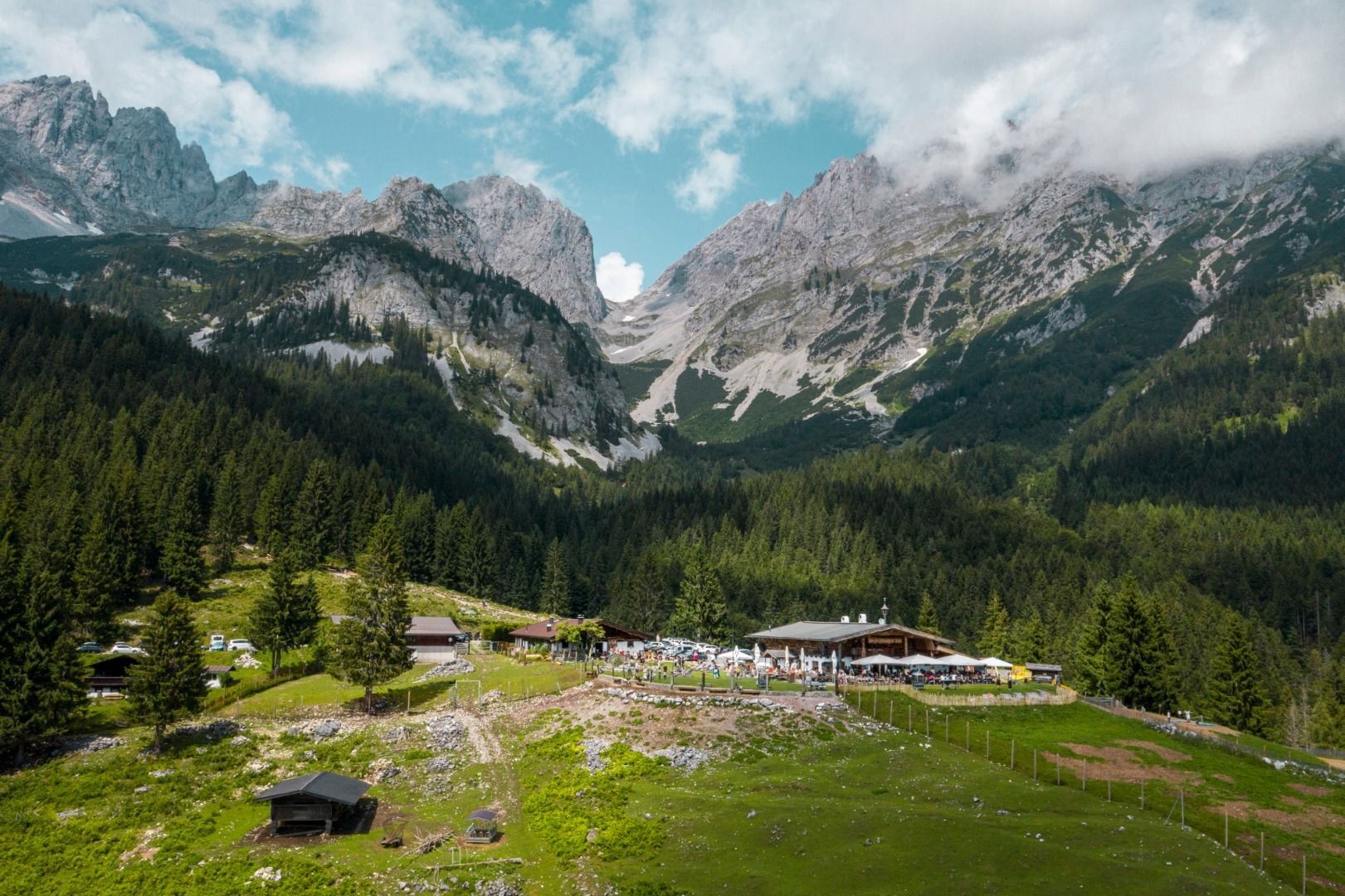
:Alpine pasture / hut / mountain restaurant
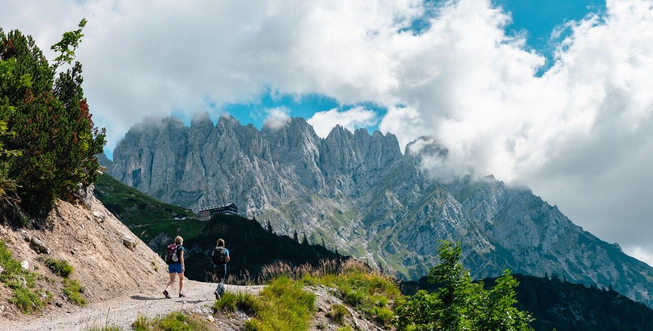
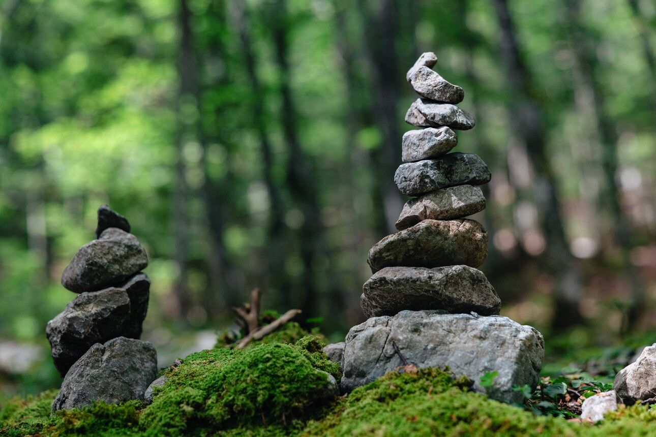
This scenic stage leads you into the rugged world of rock – across rocky trails and scree fields to the strikingly positioned Gruttenkreuz cross, nestled beneath the towering cliffs of the Wilder Kaiser.
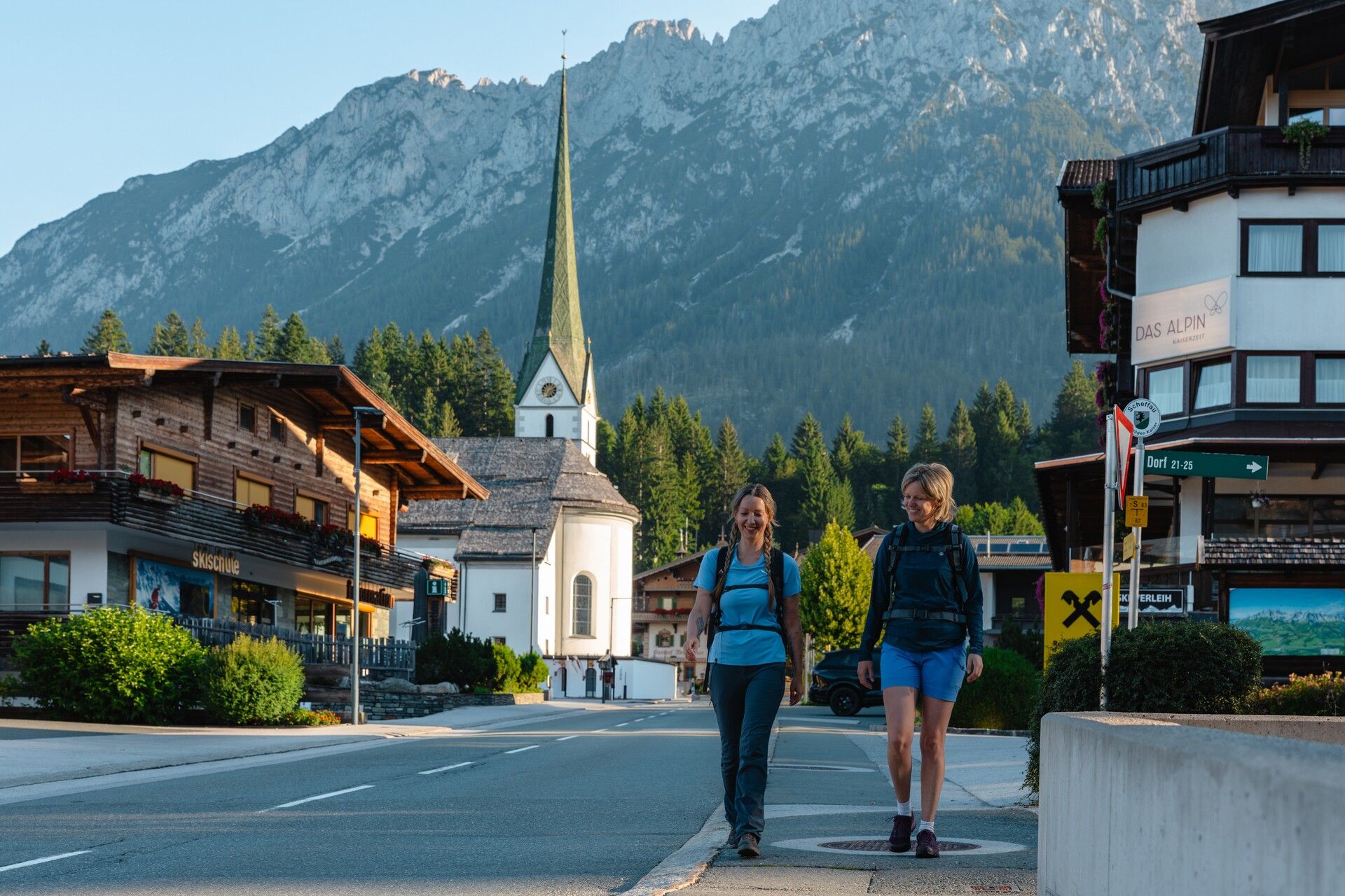
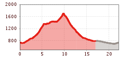
The route begins right in the village centre of Scheffau, at the hiking start point by the tourist office. From there, follow the path briefly downhill, past the Kaiserlodge and Hotel Kaiser in Tirol. Cross the road, and just after the Fichtenheim house, turn left onto the narrow trail towards the Kneipp facility. After a few downhill switchbacks, take the forest path to the left until you reach the tarmac road. Turn right here, cross the Wegscheidbach stream, and continue on to the Talschuster farm. Look out for an old plaque on the right-hand wall here – it displays fascinating route details and walking times from the 1930s and 1940s, issued by the local tourism board.
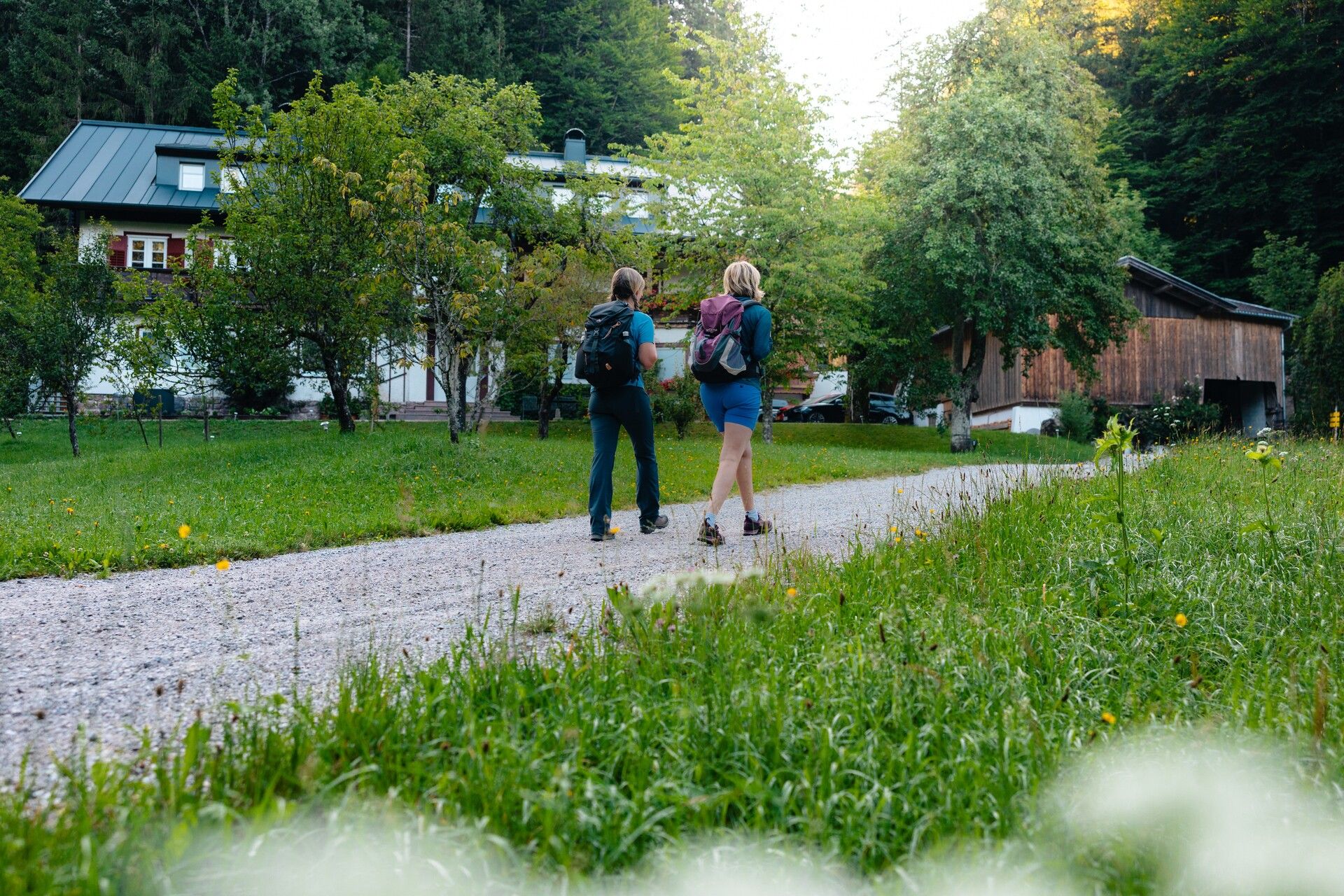
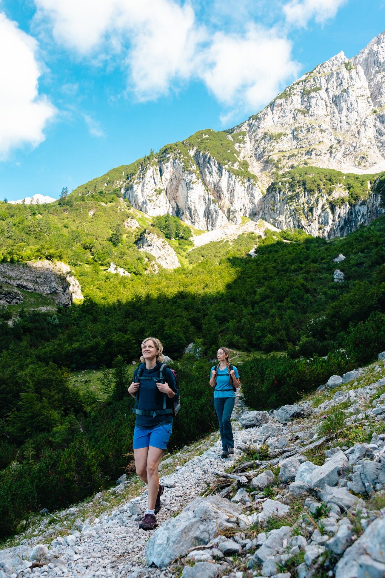
The path then climbs gently along the stream to the Mittersbach farm, once one of the oldest and largest farms in Scheffau (with records dating back to the 15th century). Continue past the former Gasthof Steinacker. At the next fork, take the path to the right and follow it straight ahead along the Wegscheidbach stream until you join trail/forest road no. 814. Follow this route to the trail junction by the former Wegscheid-Niederalm. Keep left and continue uphill towards the Gruttenhütte via the Wilder Kaiser Trail (WKS). Stay on trail no. 826, crossing two small bridges and passing the Wegscheid-Hochalm, until you reach the Multerkar and the junction with the WKS. A bench here offers a perfect spot to rest and take in the views.
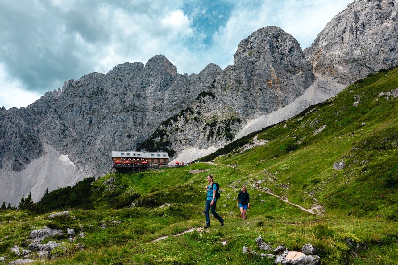
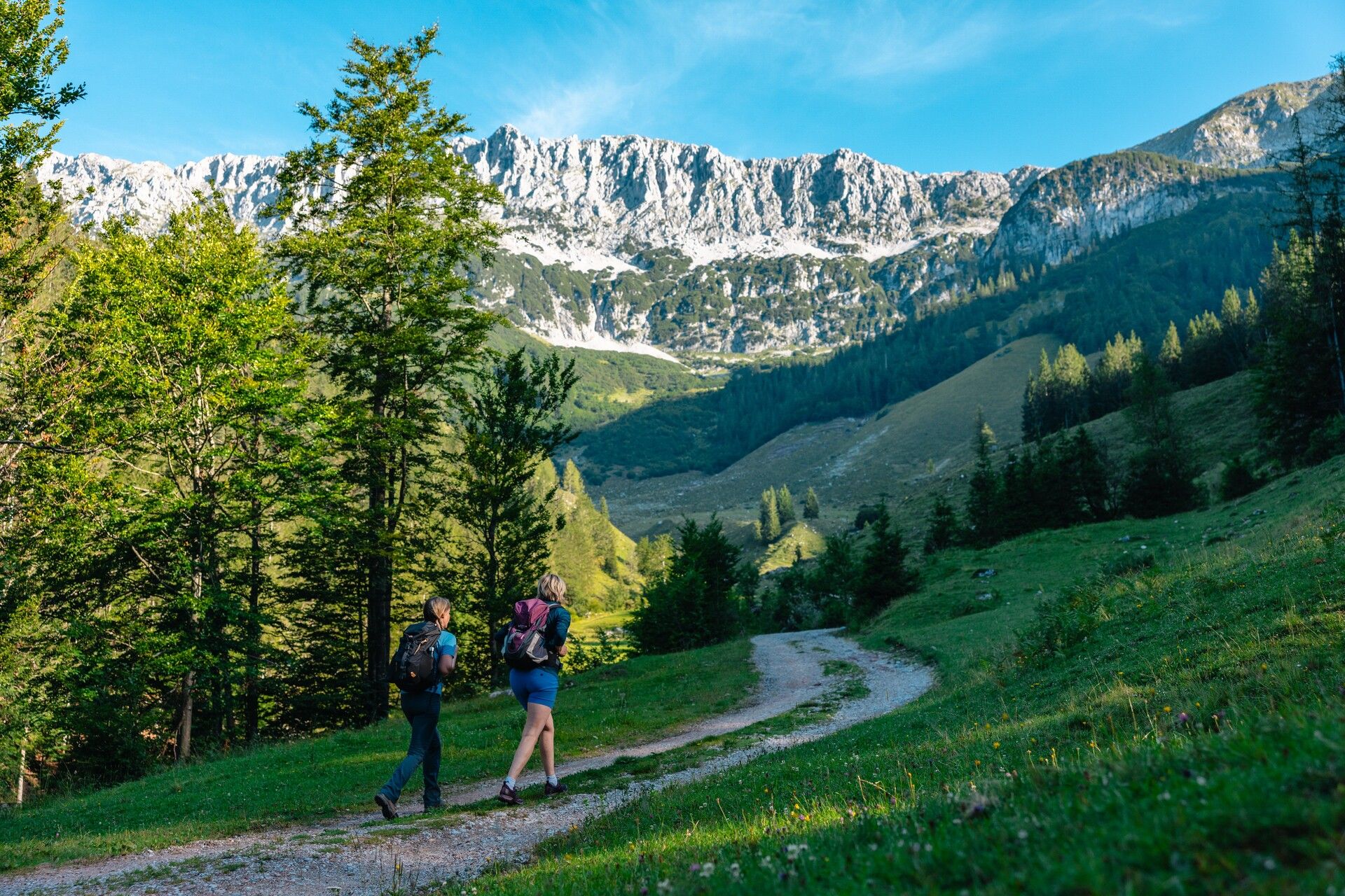
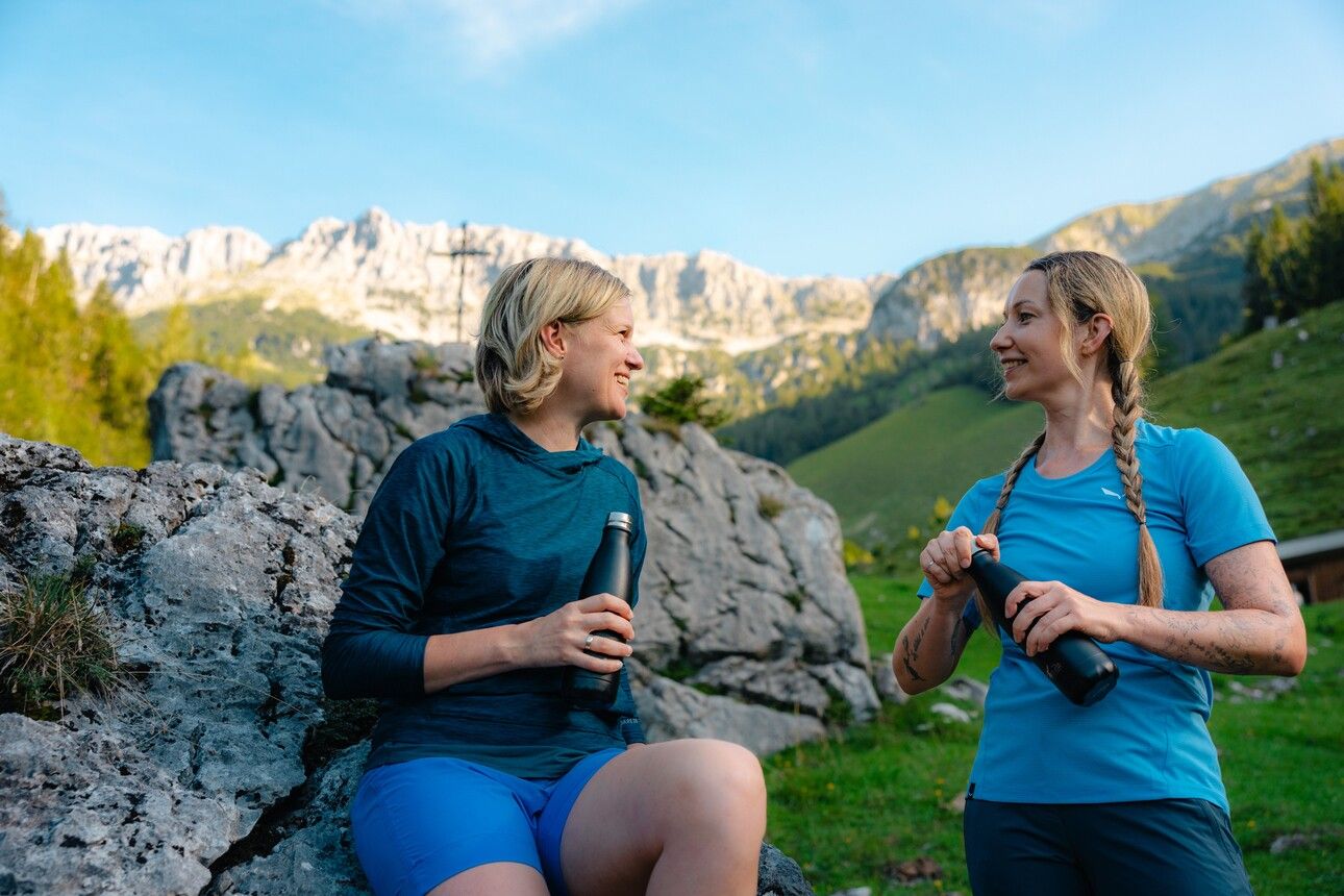
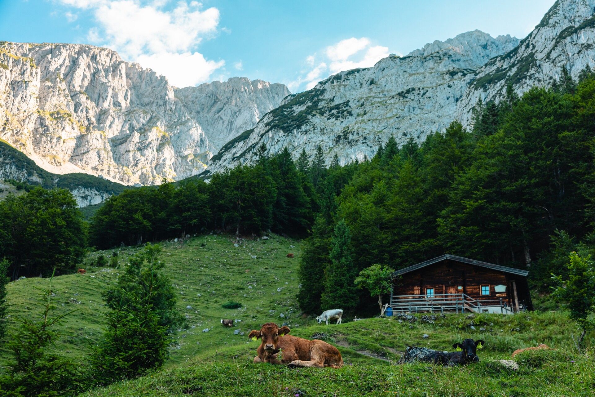
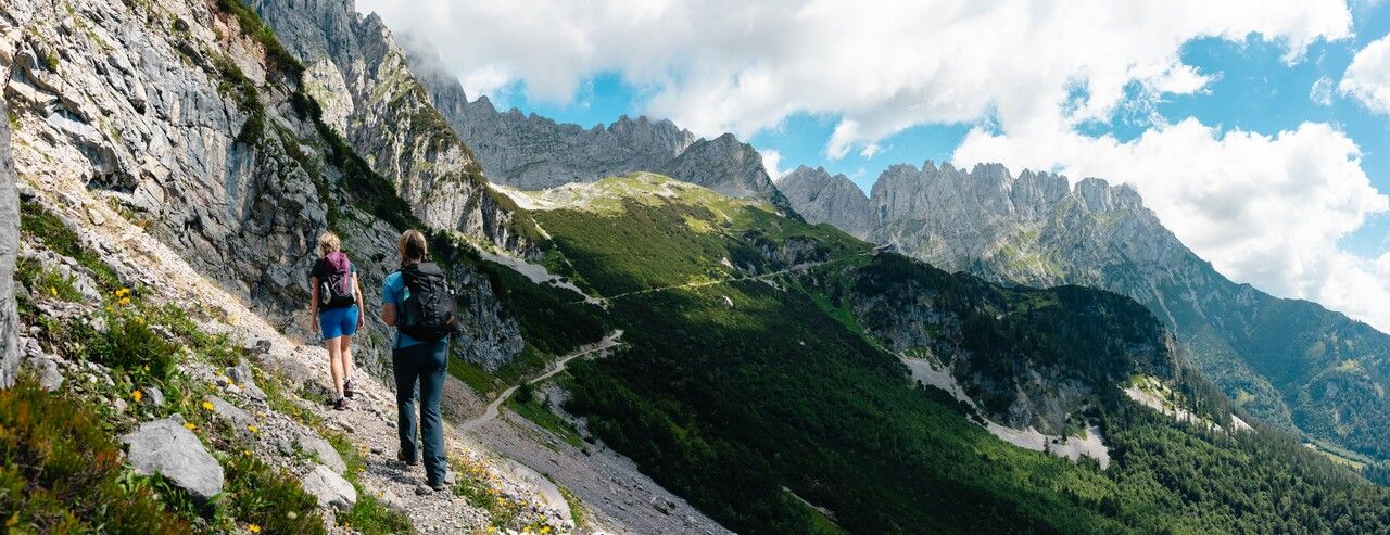
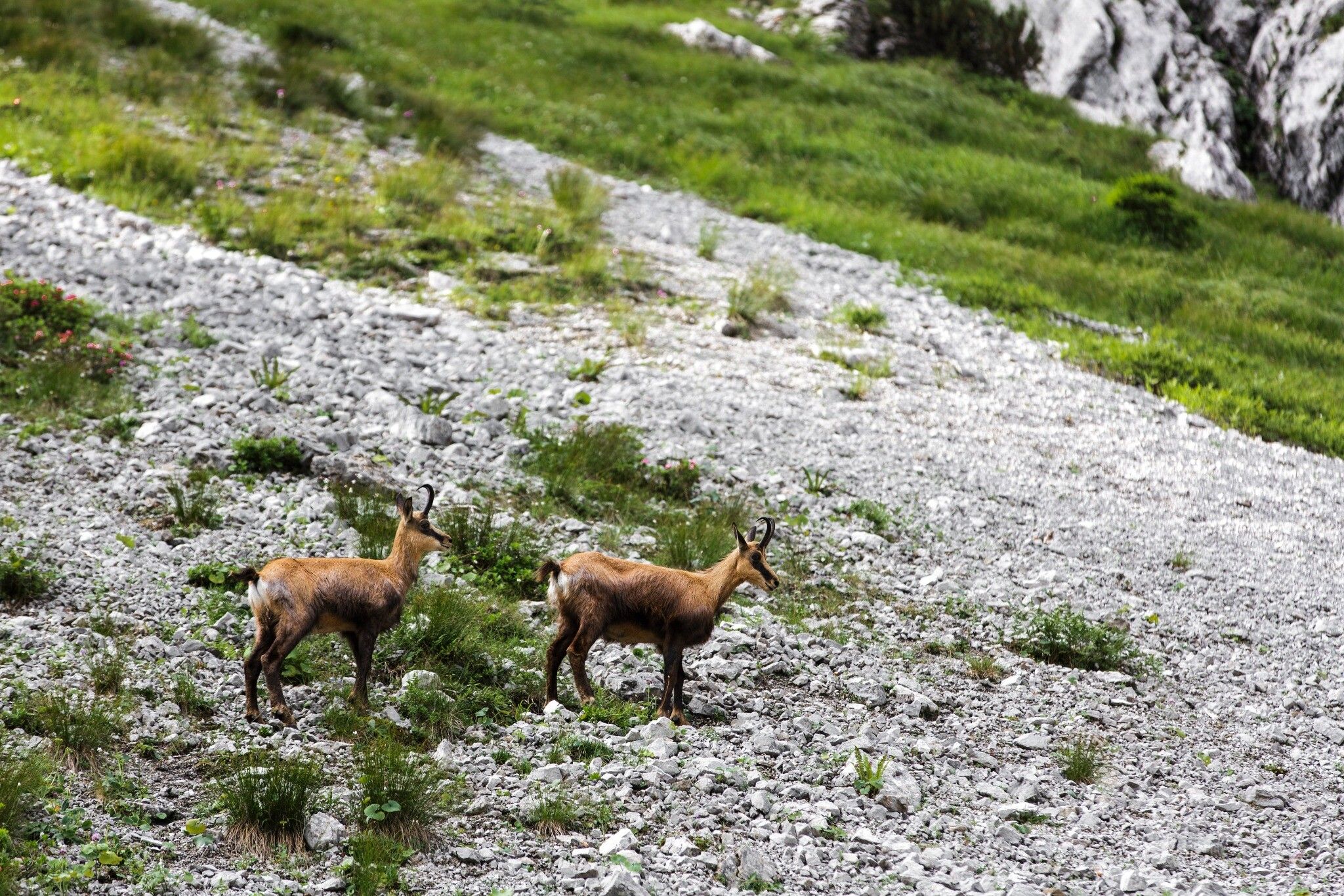
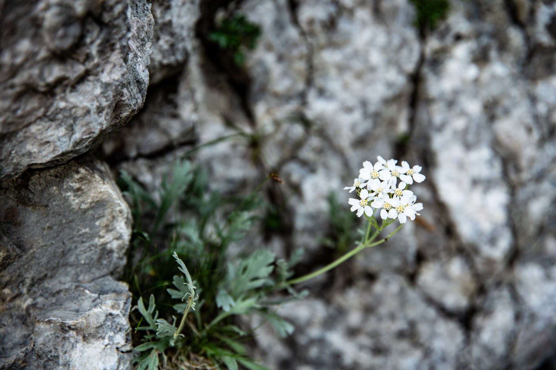
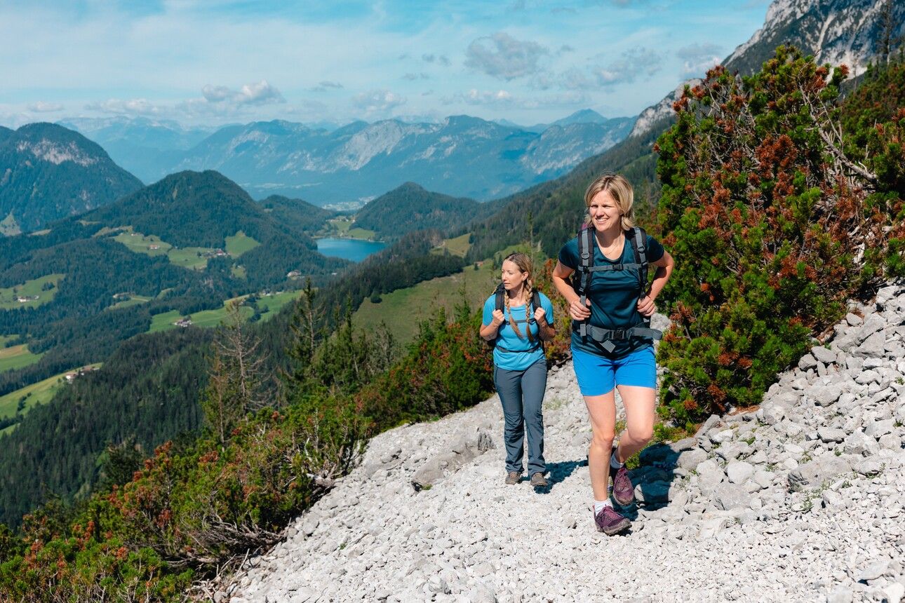
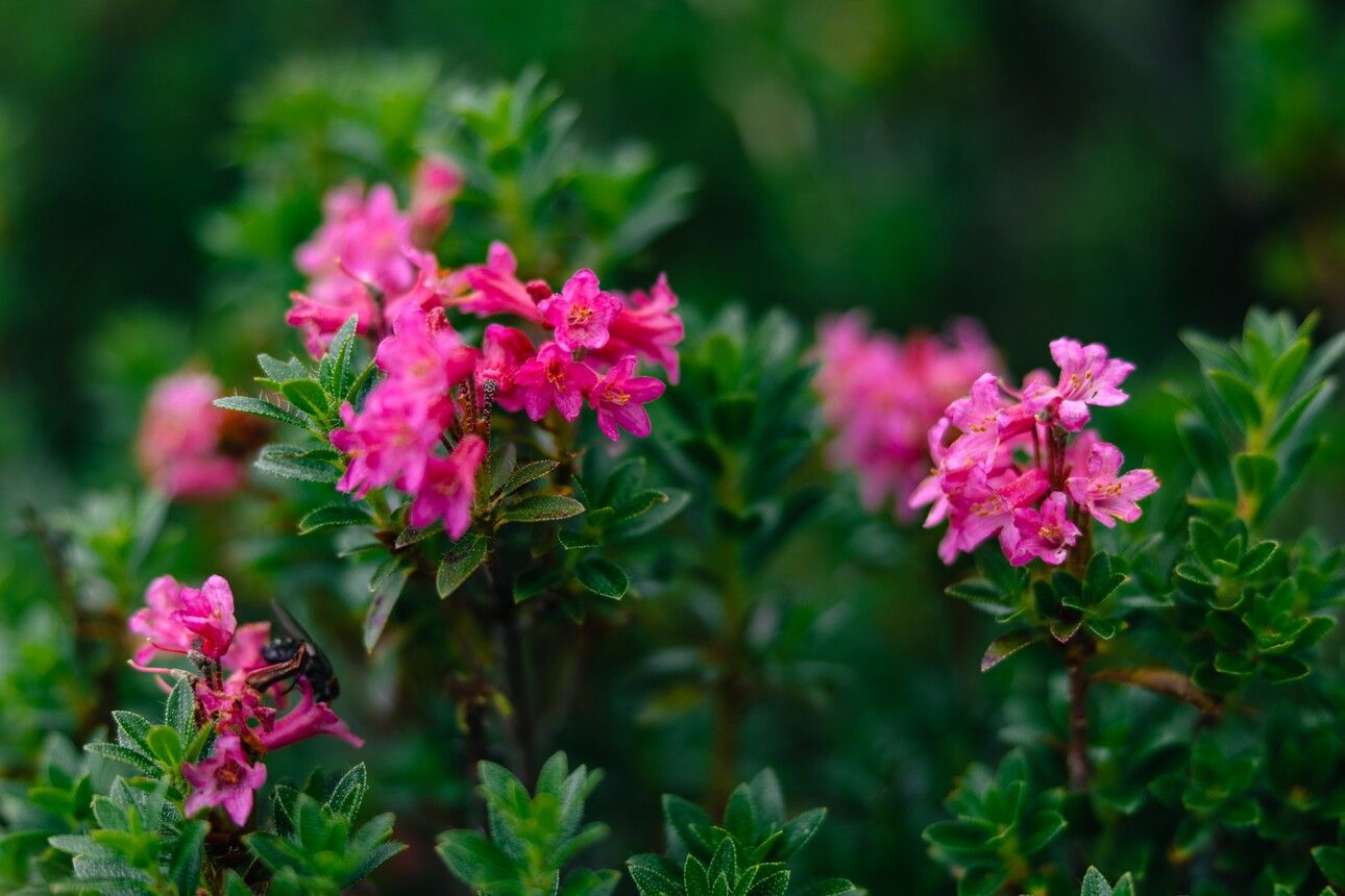
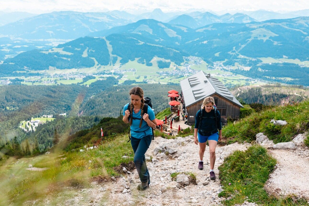
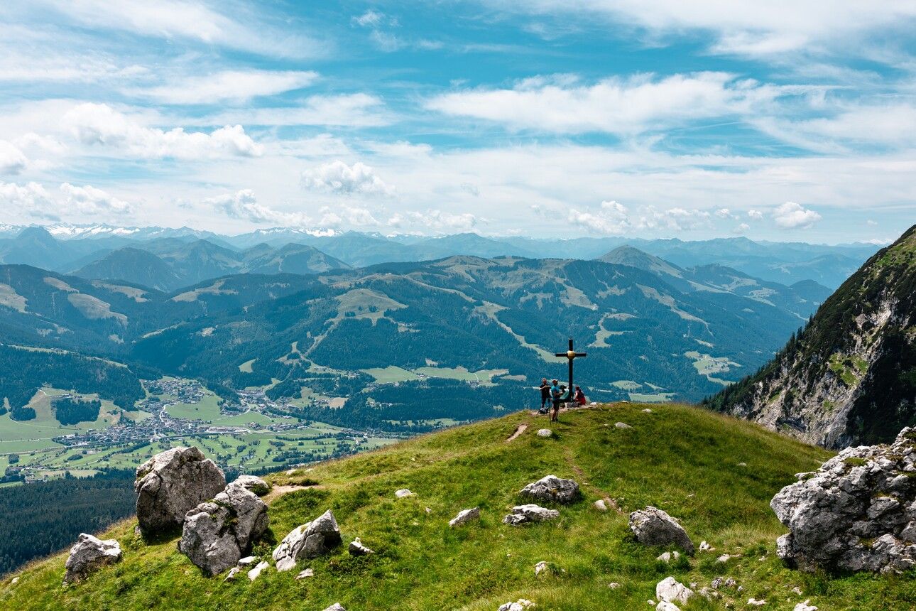
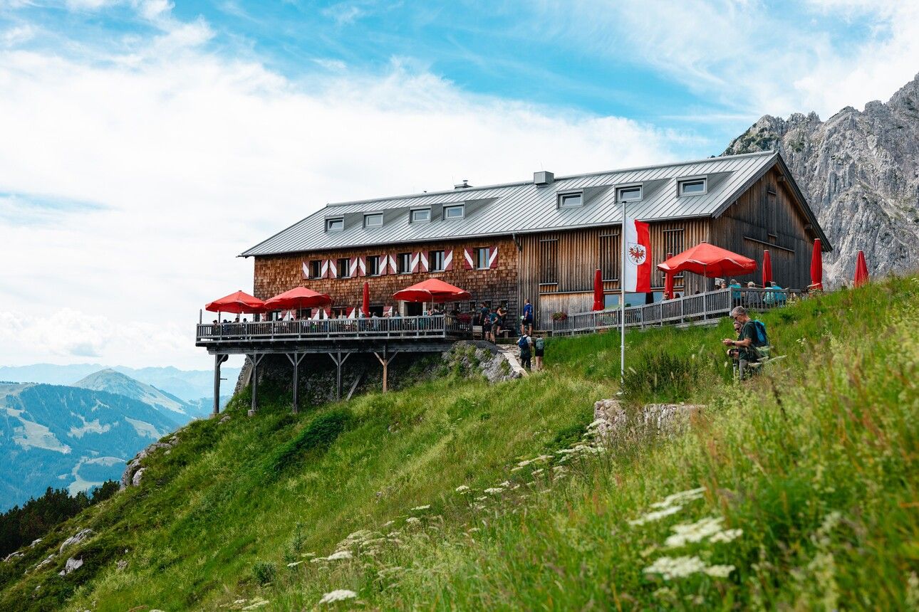
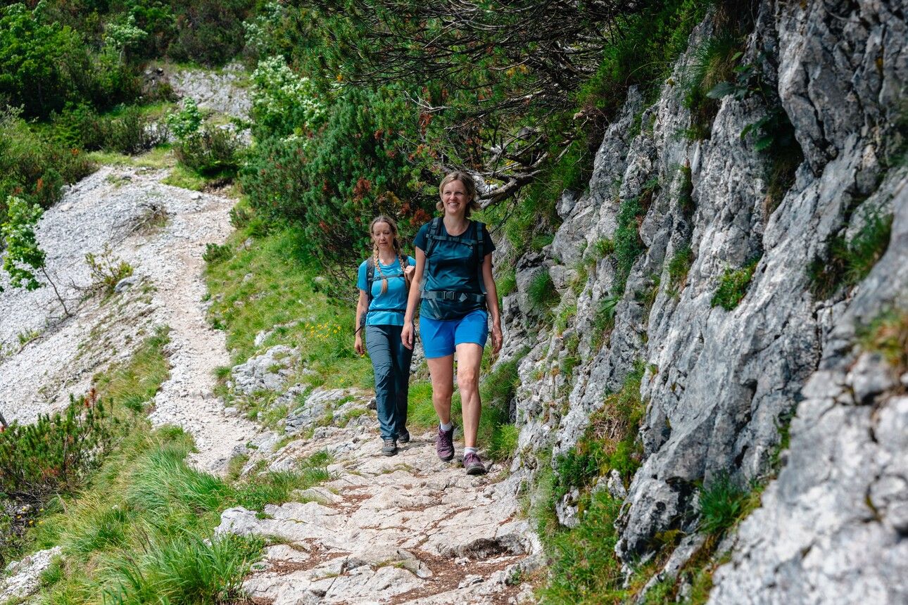
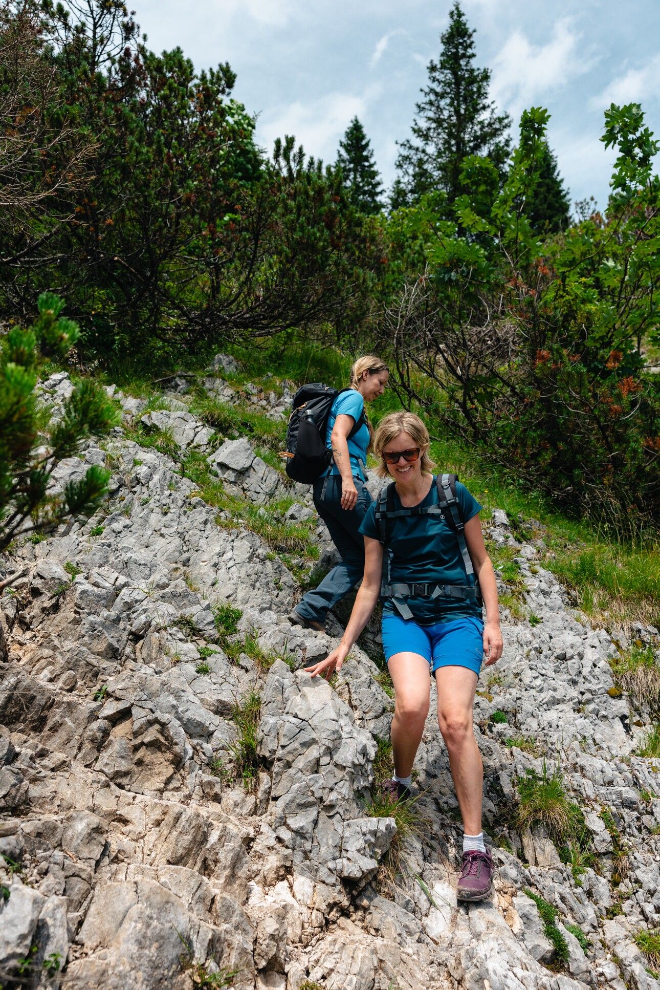
Continue on trail no. 823 of the WKS towards the Gruttenhütte. The path leads across scree fields and through forest, past the aromatic mountain pines that grow at the foot of the Tuxeck. The ascent is gentle, until a short flight of steps leads you downhill to the access road to the Gruttenhütte. It’s worth pausing along the way to take in the sweeping views of the valley, the Hohe Tauern range, and Hintersteinersee Lake. The road winds its way along the slope until you arrive at the Gruttenhütte. If you’re up for a few extra metres of elevation, a short climb up to the Gruttenkreuz behind the hut is highly recommended – the panoramic views are more than worth the effort. Afterwards, you can relax and recharge on the hut’s inviting terrace.
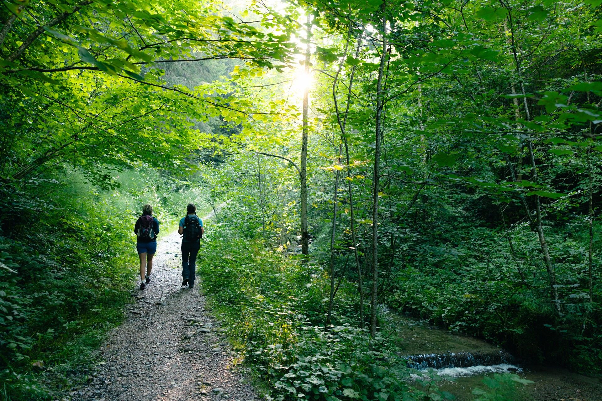
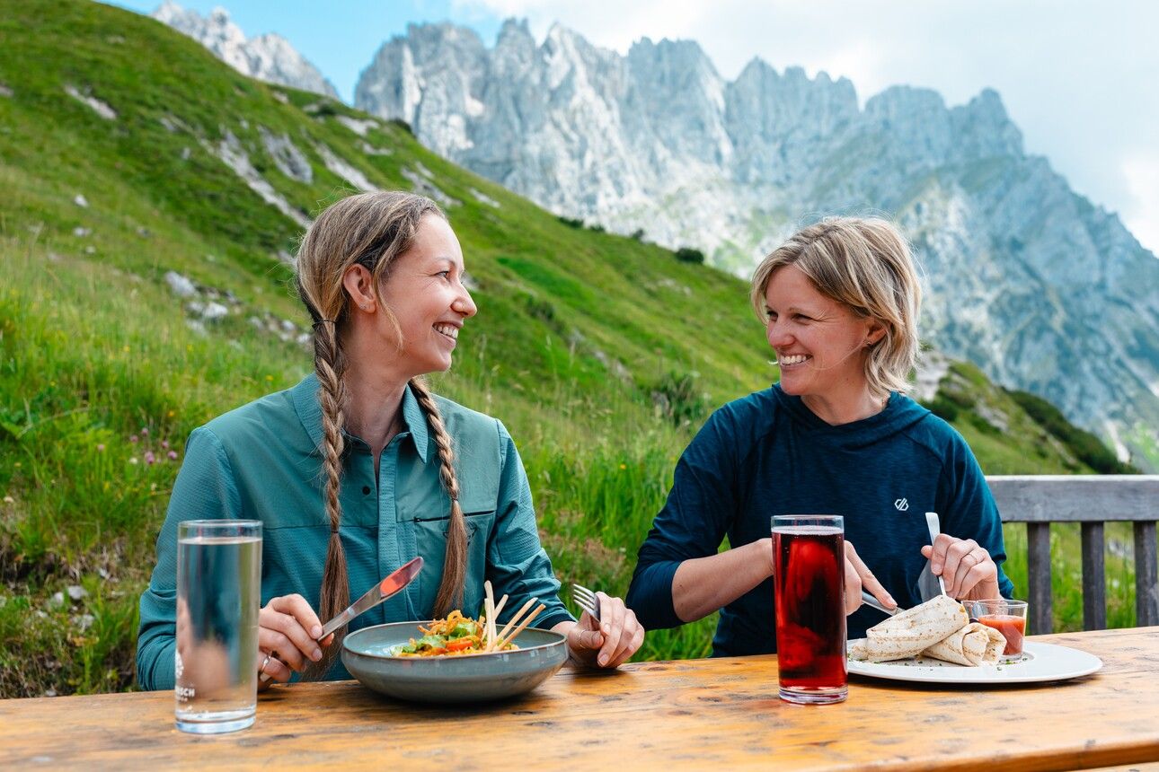
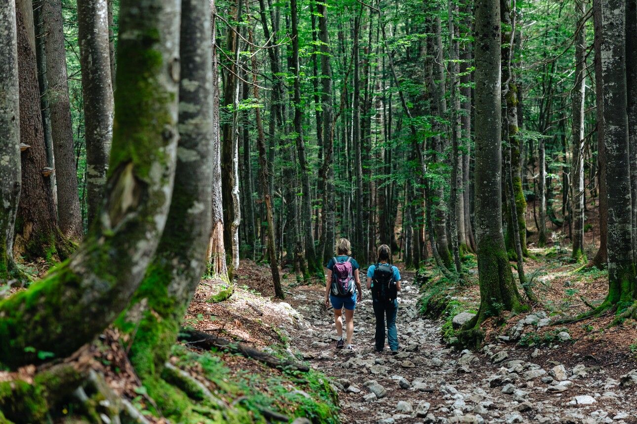
The route then continues briefly eastwards. At the second signpost, turn right onto trail no. 825, which takes you across rocky terrain and a scree field. The descent then leads through forest to the Wochenbrunner Alm. After a well-deserved break on the panoramic terrace, you can take the hiking bus back to Ellmau.
Alternative for particularly motivated hikers:
Instead of taking the convenient hiking bus from Wochenbrunner Alm to Ellmau, you can also hike this stretch:
Wochenbrunner Alm – Spatlahner Gorge – Ellmau village/bus stop: approx. 1 hr 45 min
Start of the tour:
80 KaiserJet and 865+866 VVT-Regiobuslines: Scheffau am Wilden Kaiser Dorf
End of the tour:
40 KaiserJet : Ellmau Wochenbrunner Alm
80 KaiserJet und 865+866 VVT-Regiobuslines: Ellmau Dorf/Bauhof
The free hikers’ bus runs daily in summer between the Ellmau Dorf/Bauhof bus stop the trailhead of the hike to the Wochenbrunner Alm Alpine hut. Passengers can change to/from the KaiserJet and VVT-Regiobuslines 865 and 866 at the Ellmau Dorf/Bauhof bus stop.
More information at: www.wilderkaiser.info/mobility
Public car park, Scheffau (740 m), north of the Community Hall - free


