

Opening hours:Open today
Place:Reutte
:Alpine pasture / hut / mountain restaurant
How nice and quiet it is here, while people are standing on each other's feet on the Säuling right next door. The Koflerjoch also has a few other plus points: View? Check! Alpine pasture? Check! Bathing lake? Check!
Rewarding panoramic summit high above Reutte with great views over the entire Außerfern, from the Lechtal Alps to the Zugspitze. Up to the Dürrenberg-Alm hut via a forest path or the short forest trail. Continue along a small meadow and forest path to the short scree section below the summit. All in all, the route is easy to moderately difficult. After the summit, stop for refreshments at the Dürrenberg-Alm and finish with a dip in the Urisee.
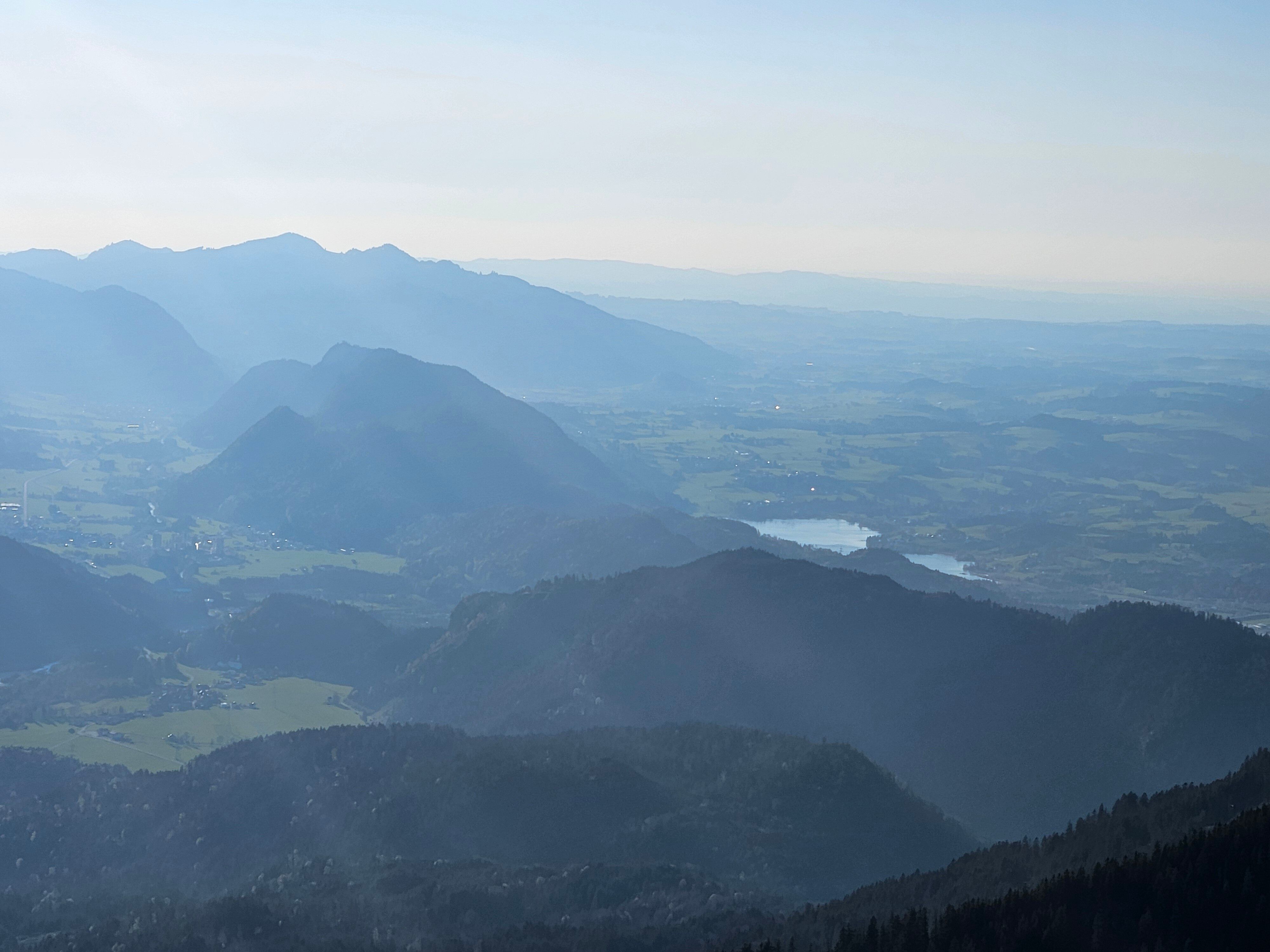
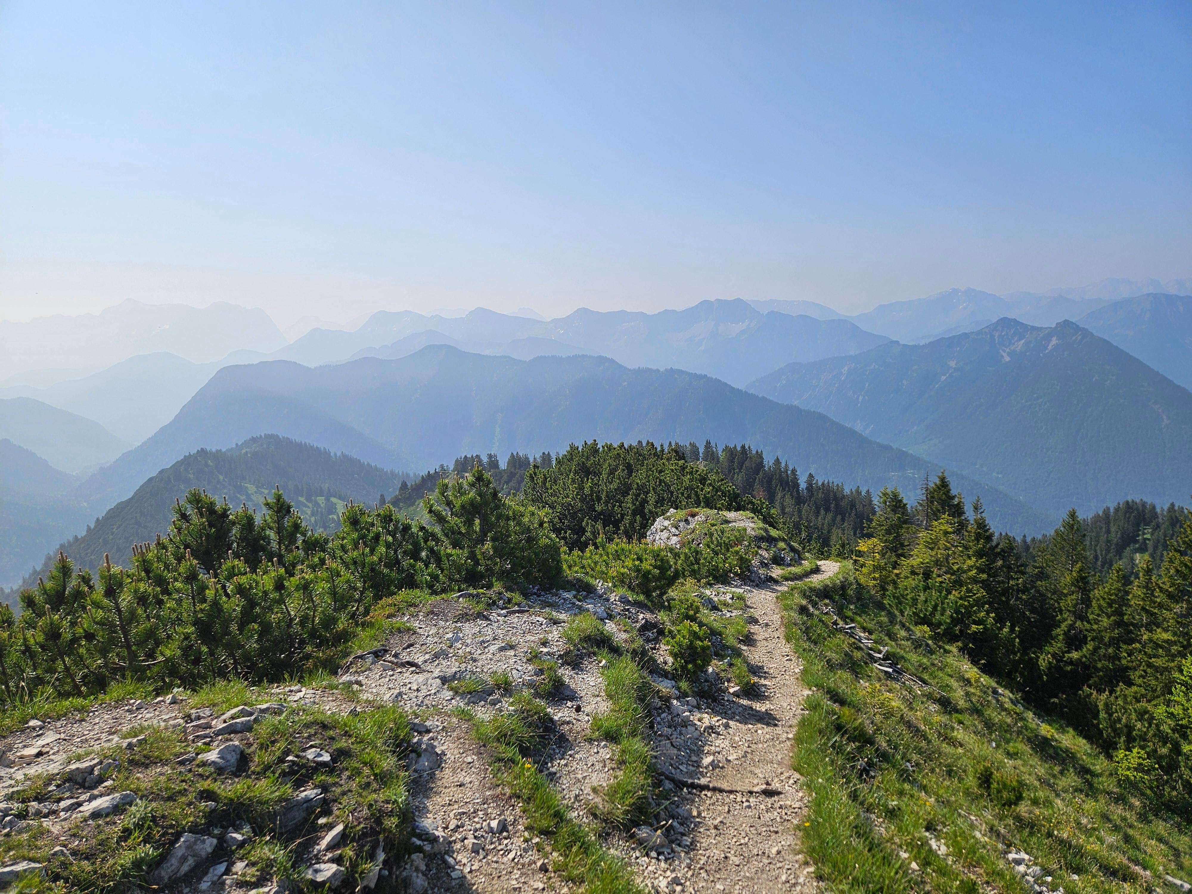
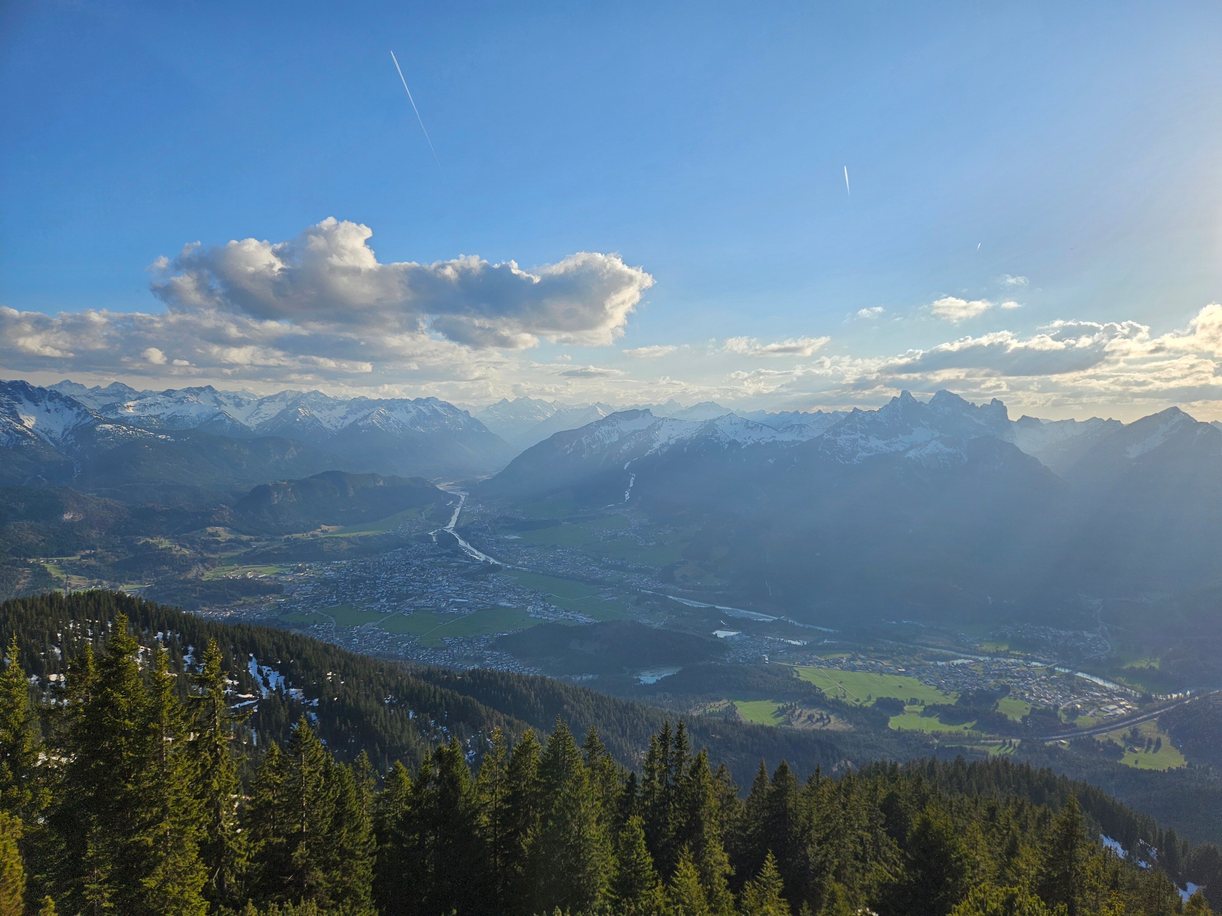
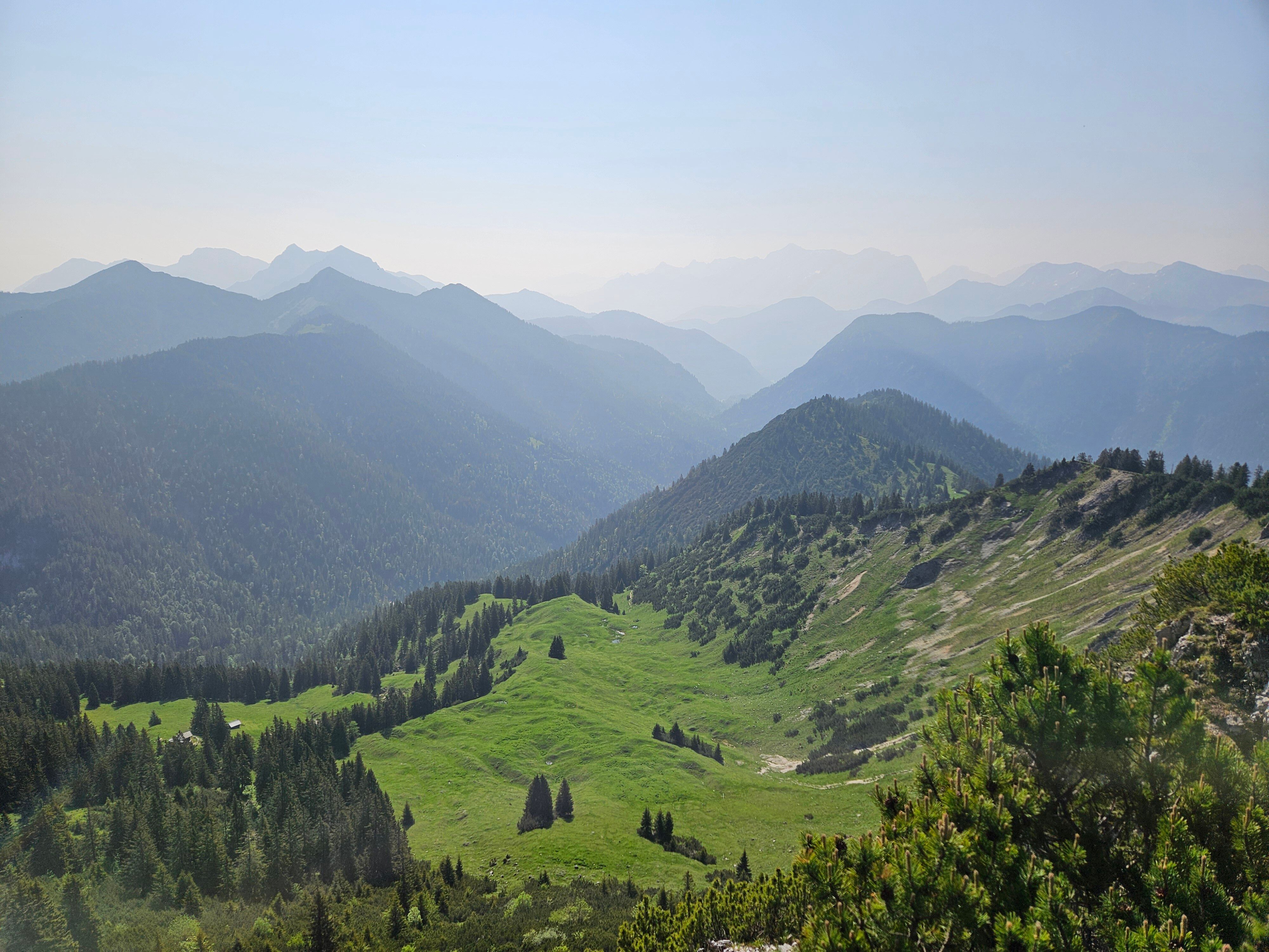
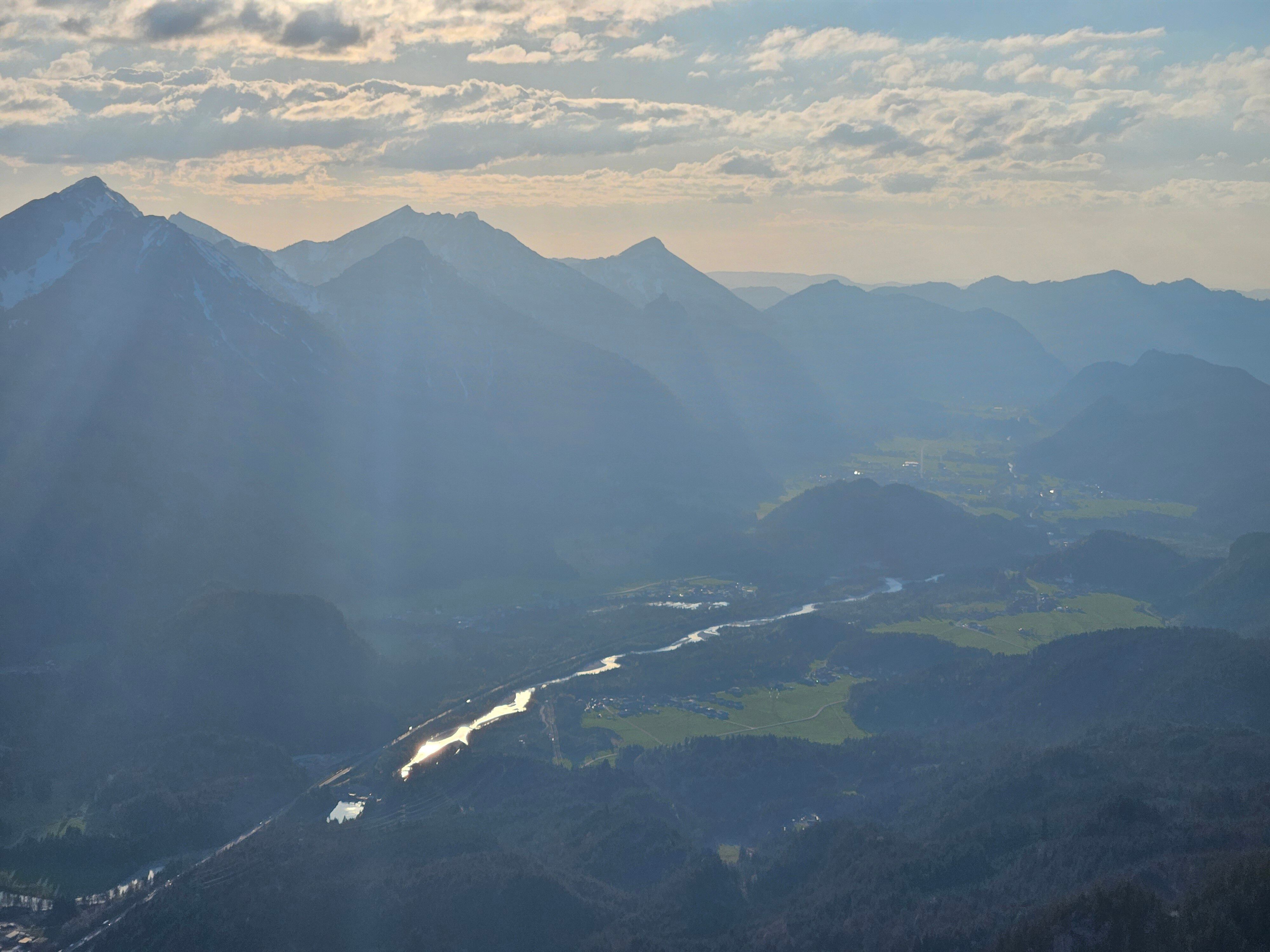

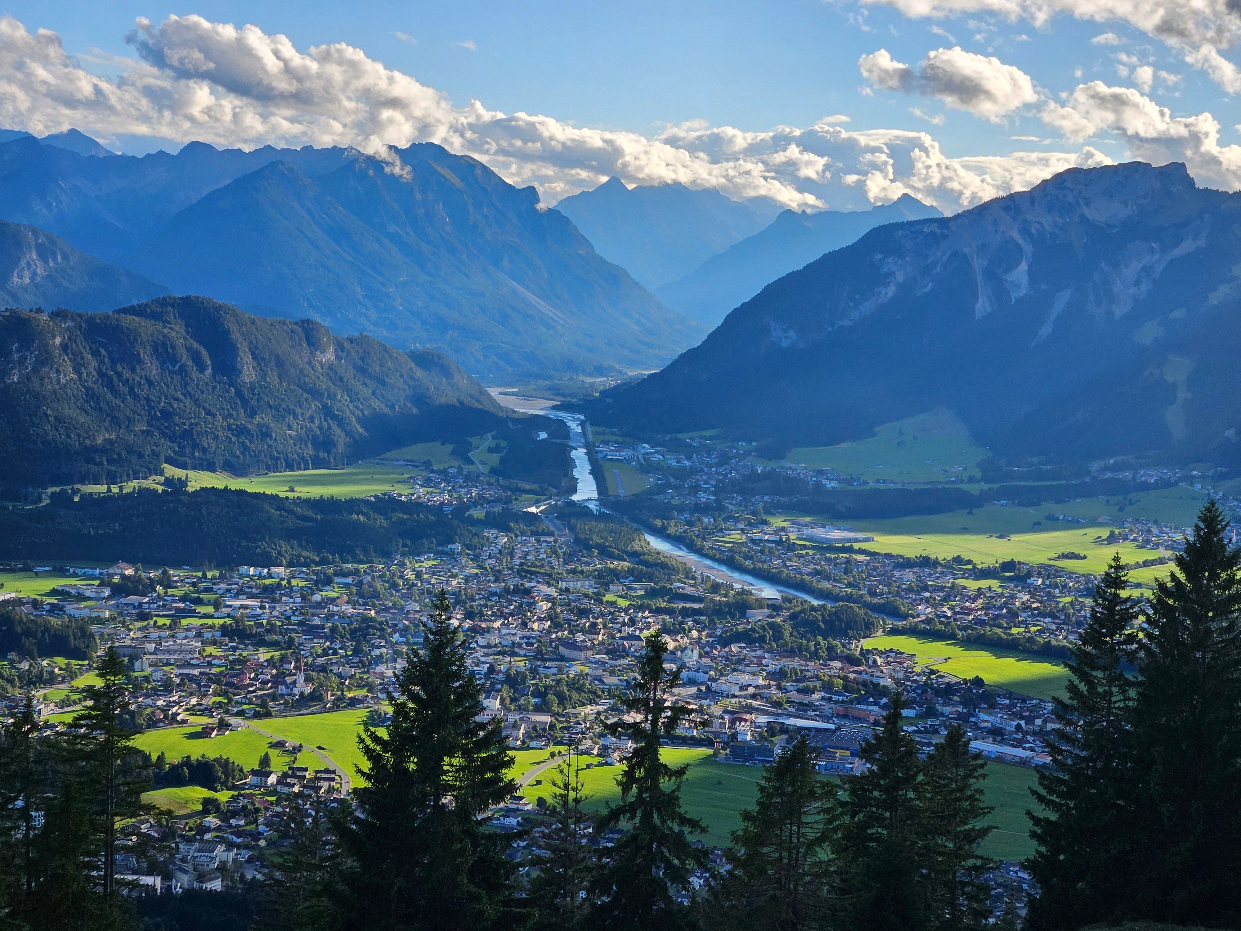

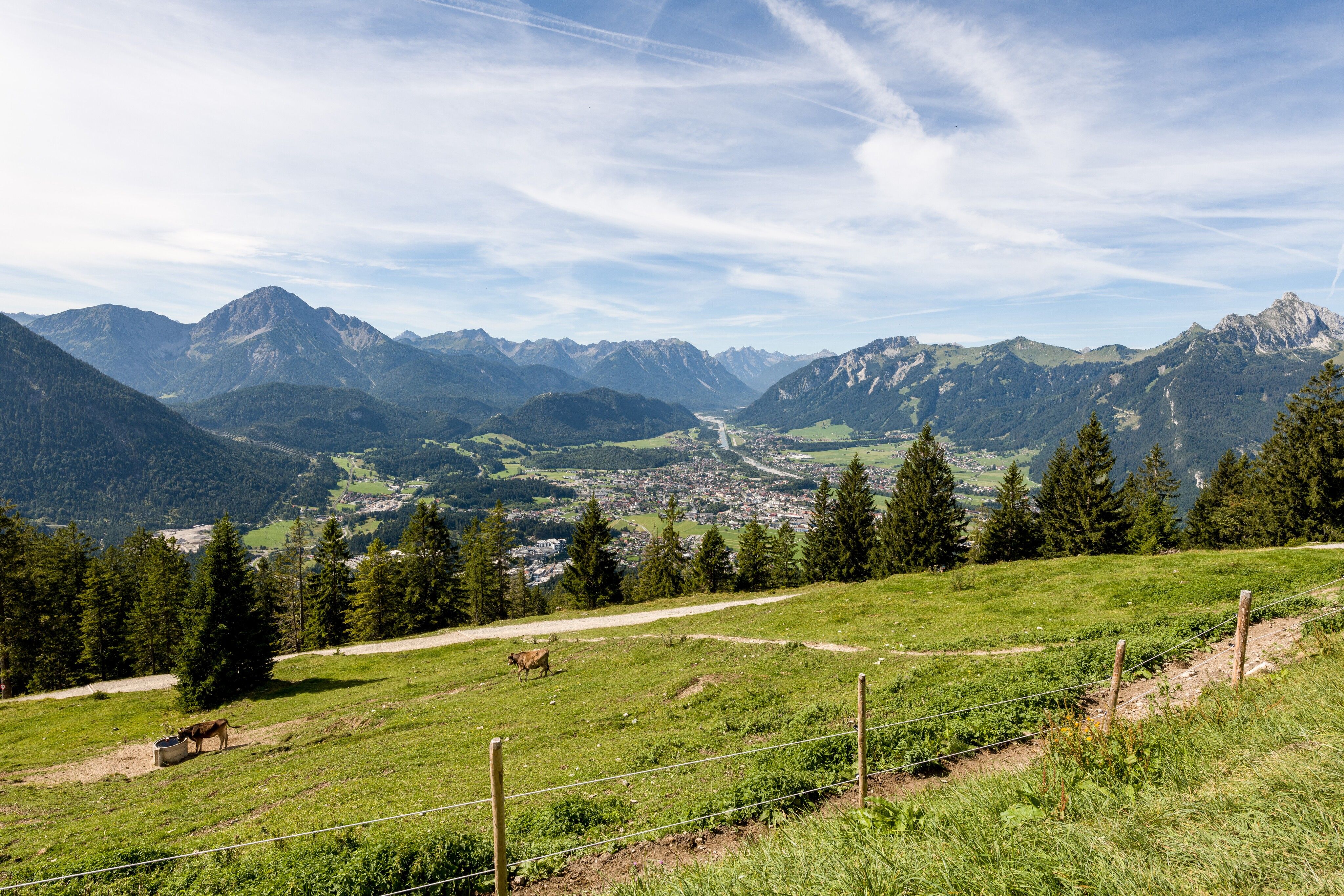
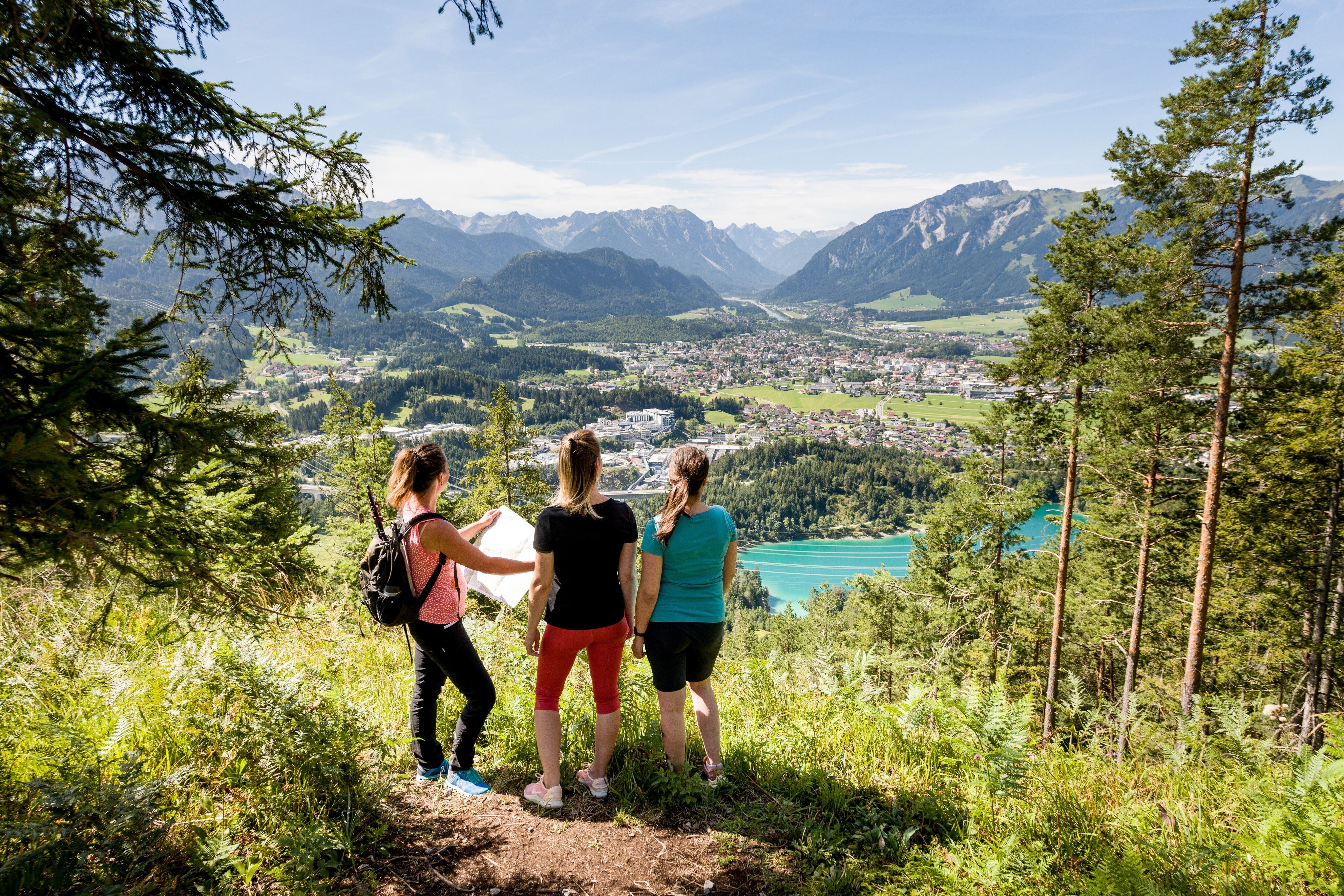

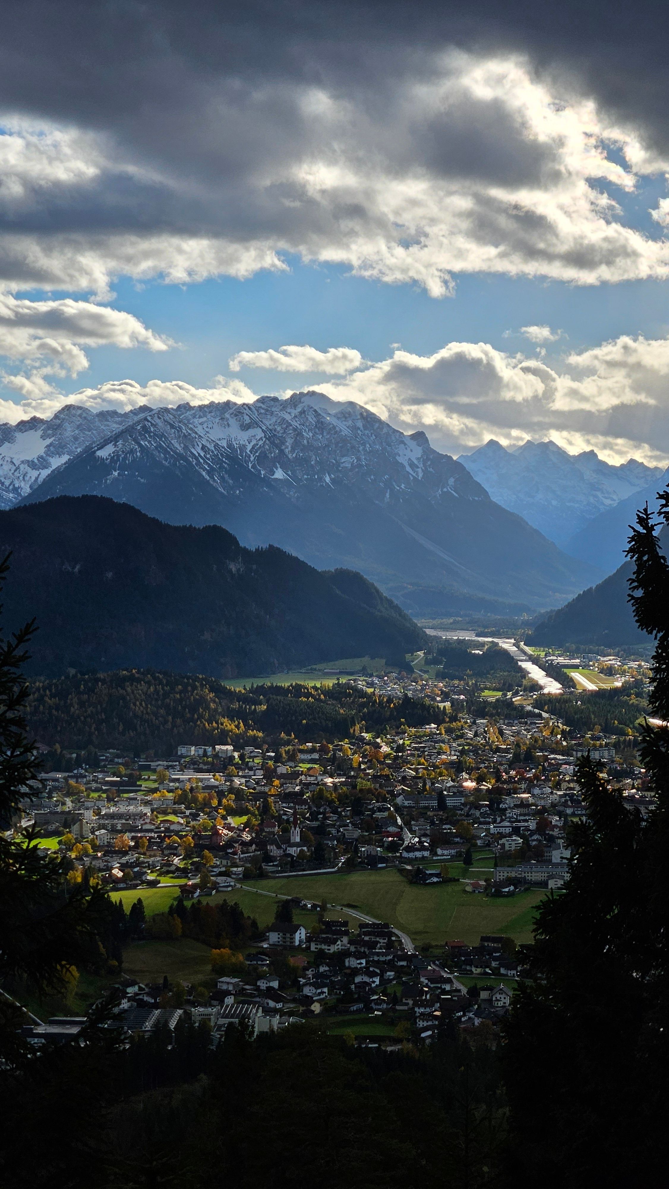
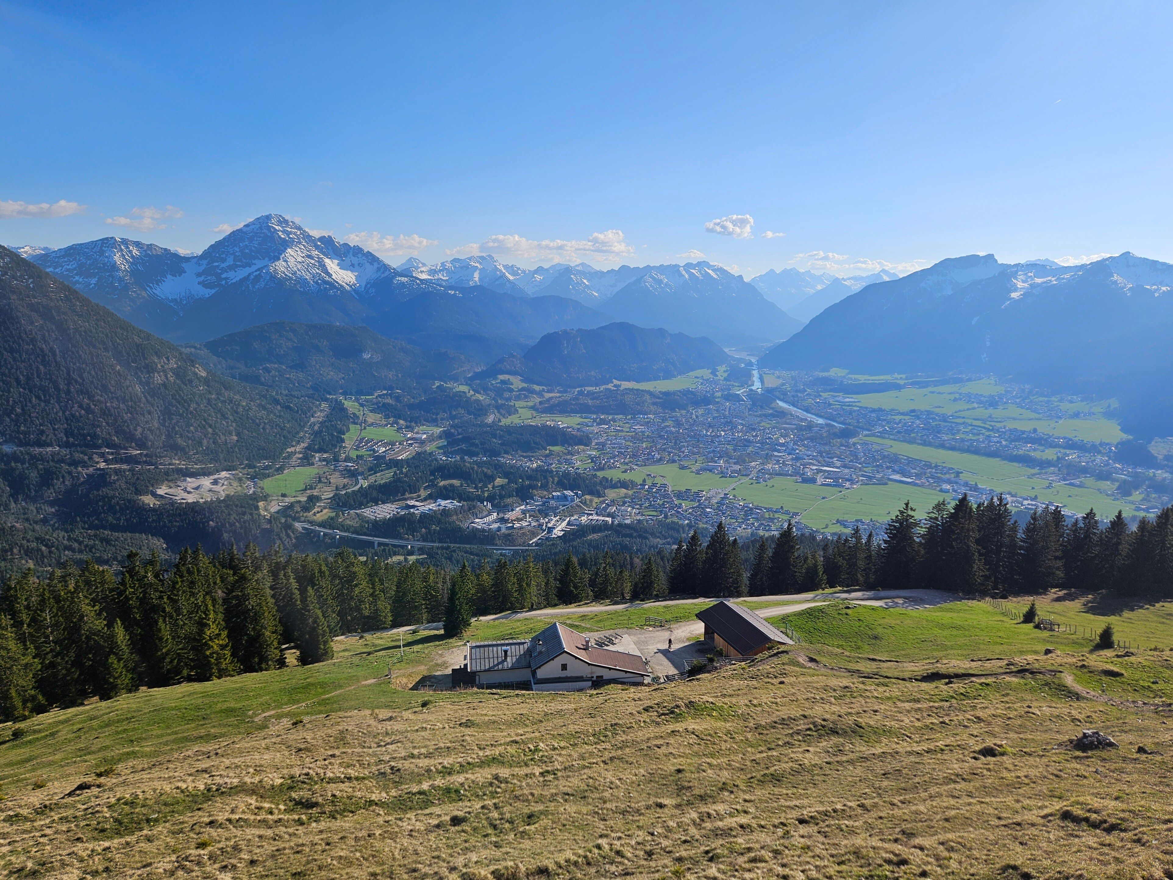
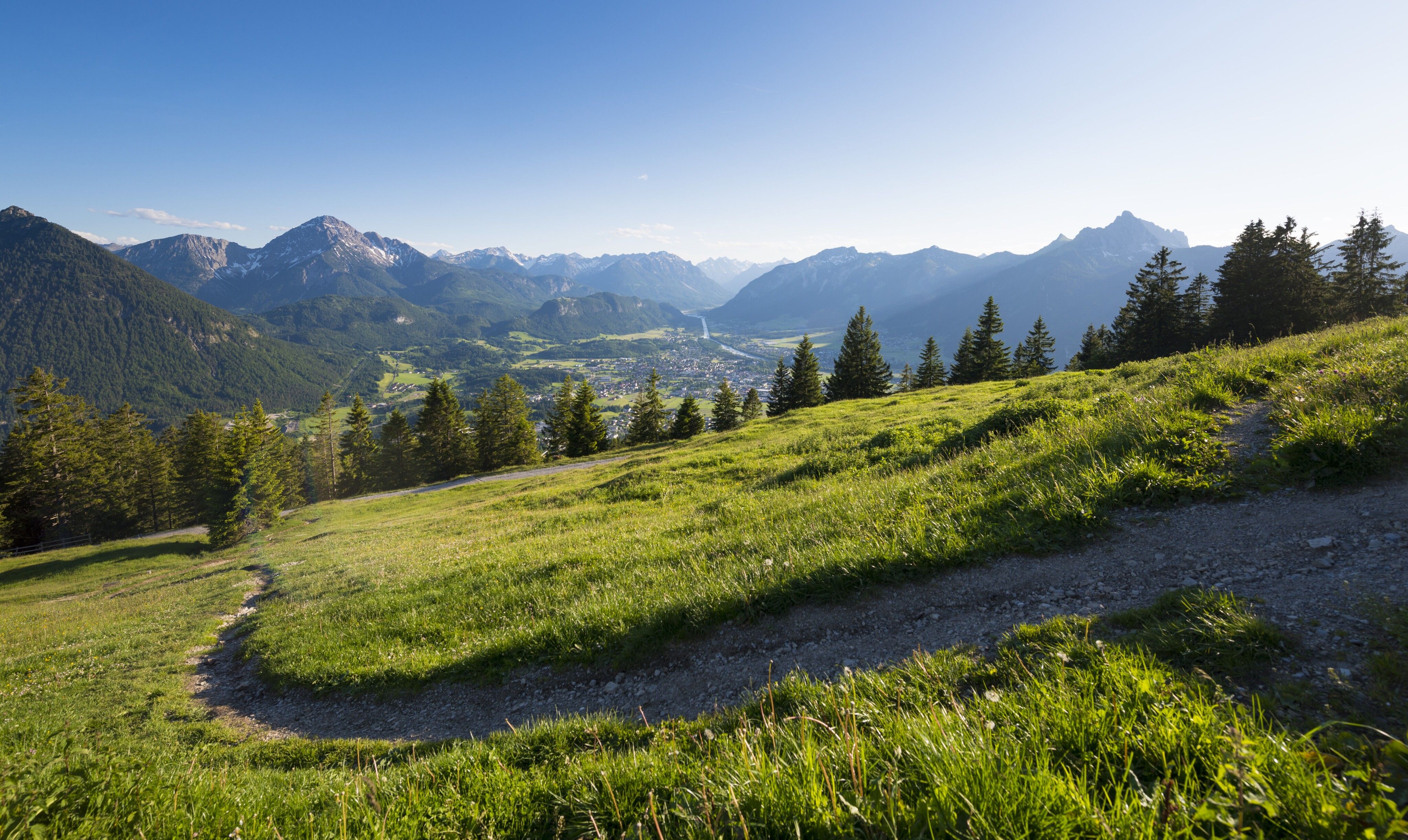
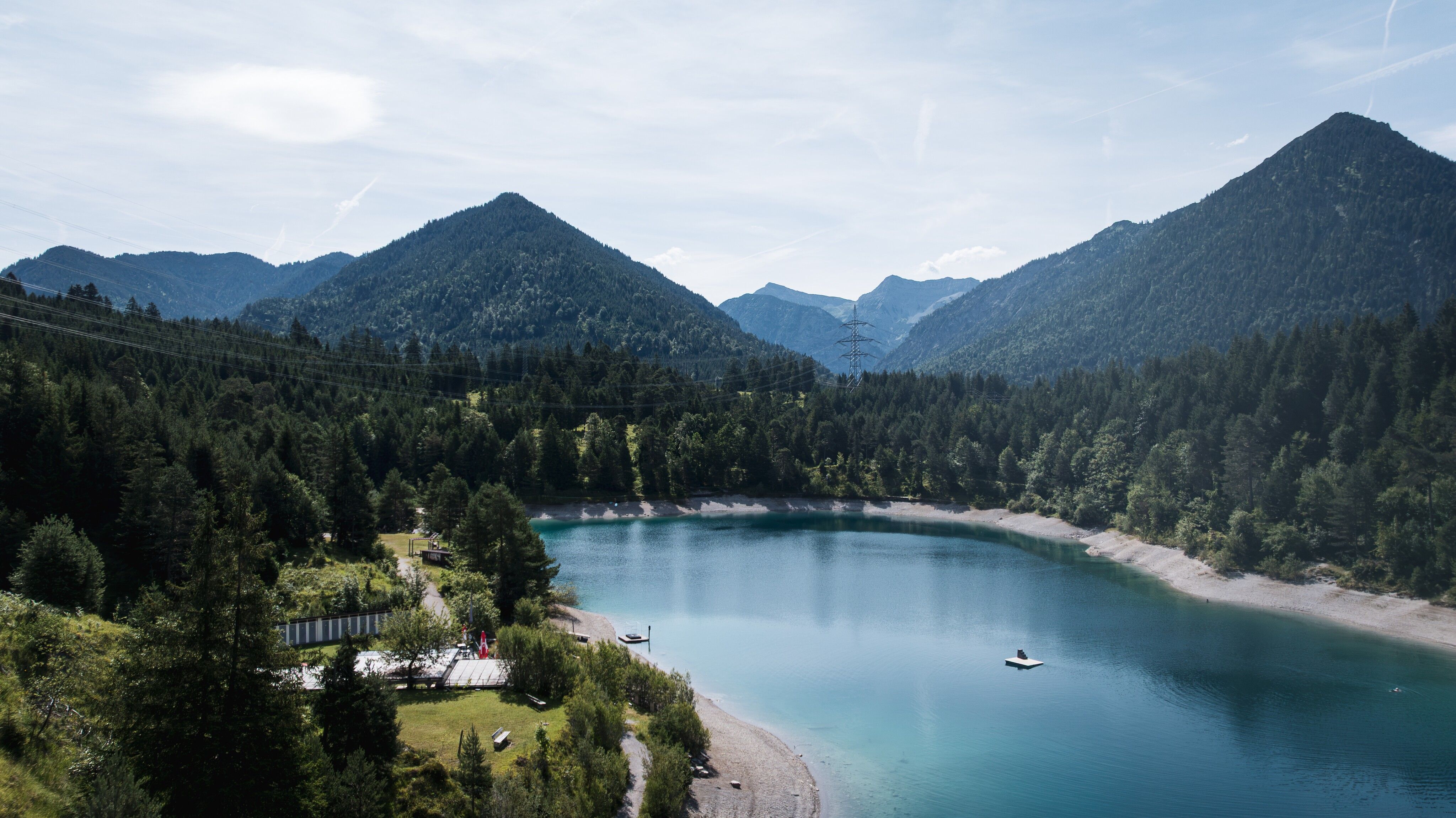
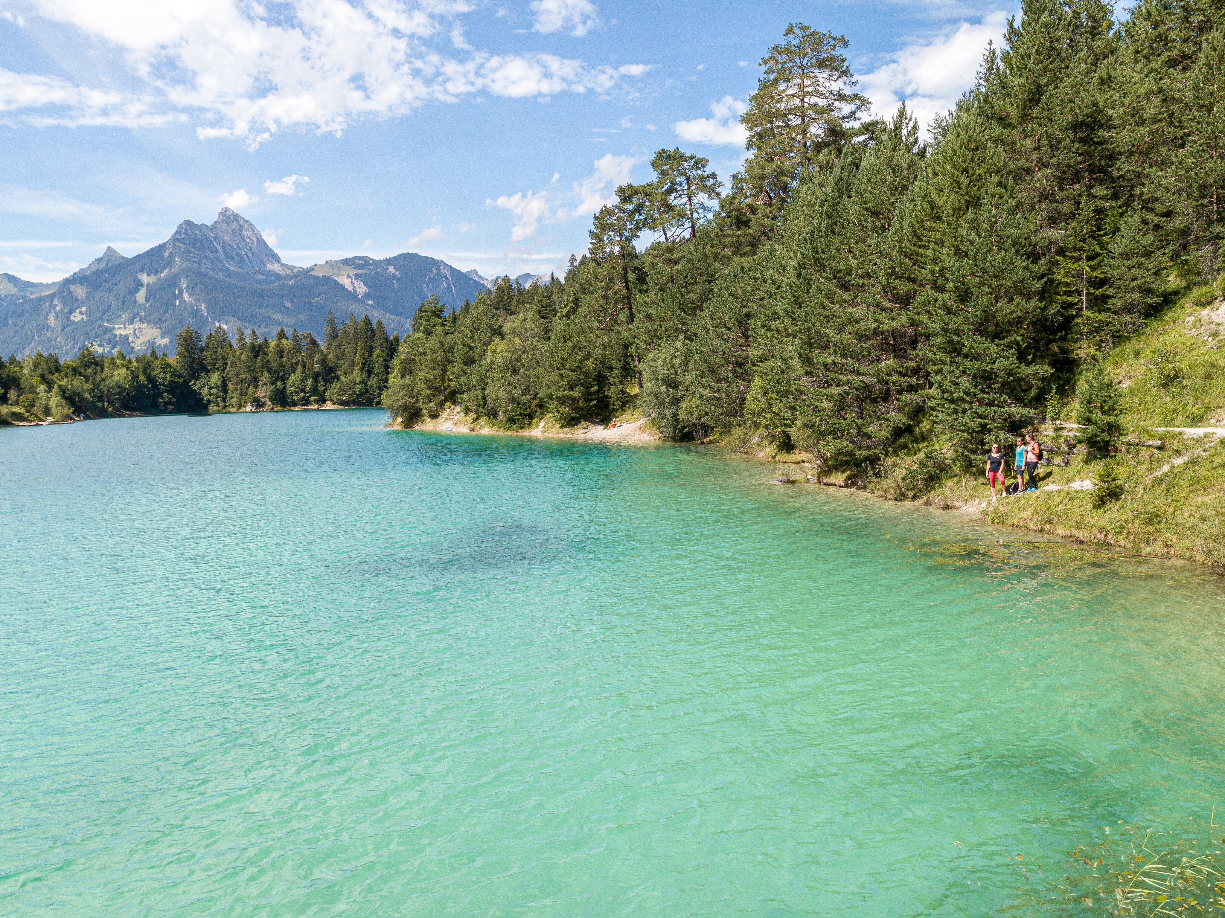
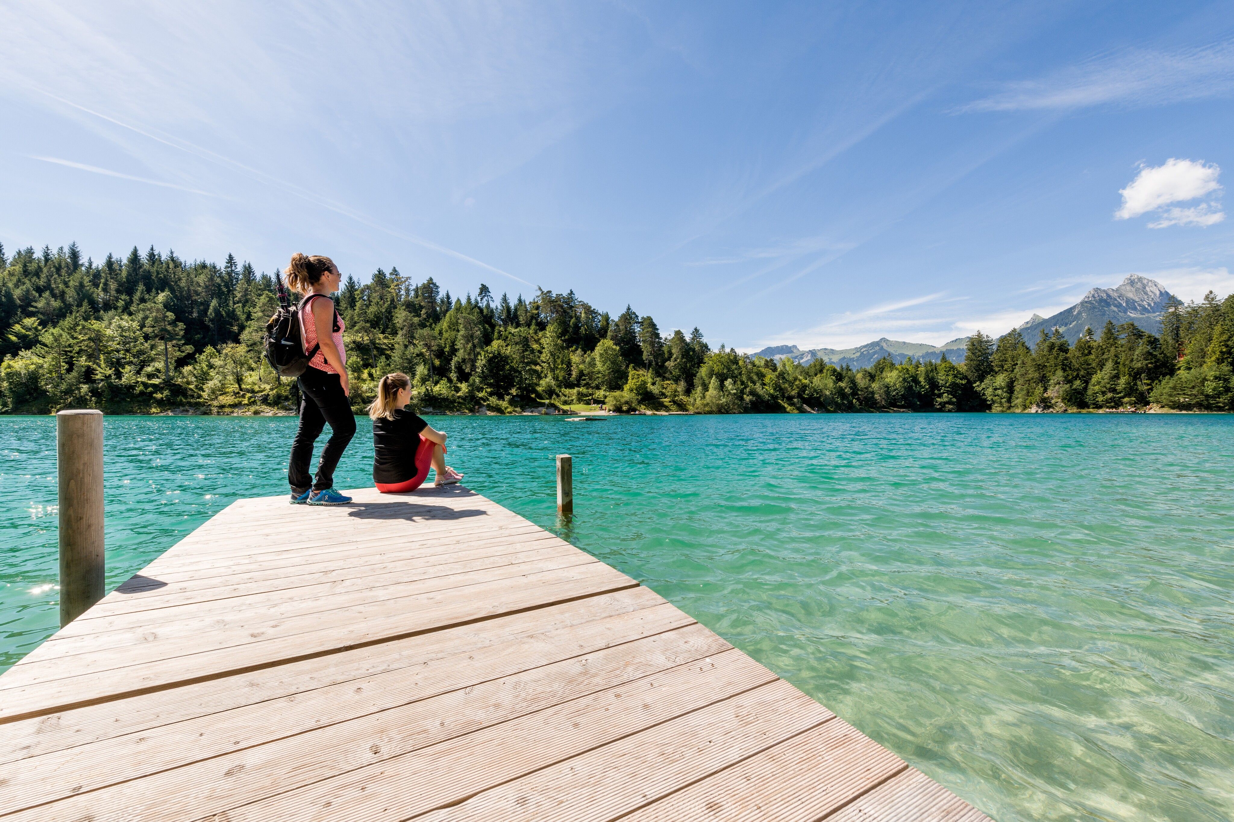
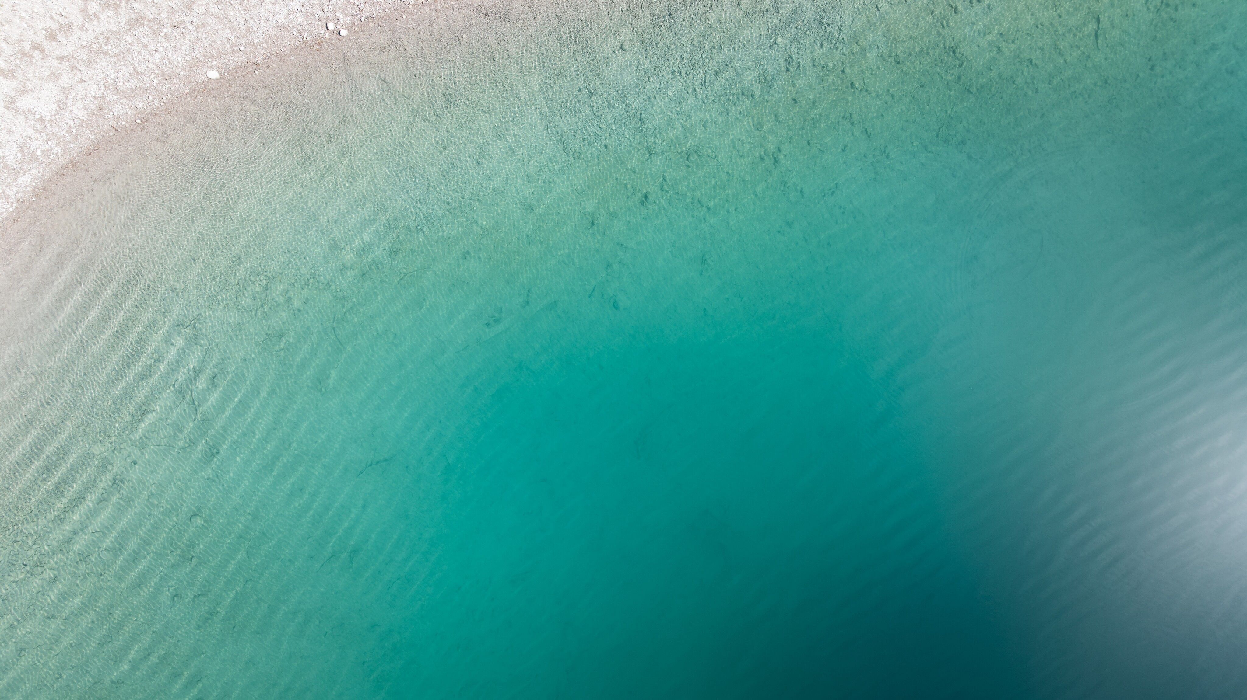
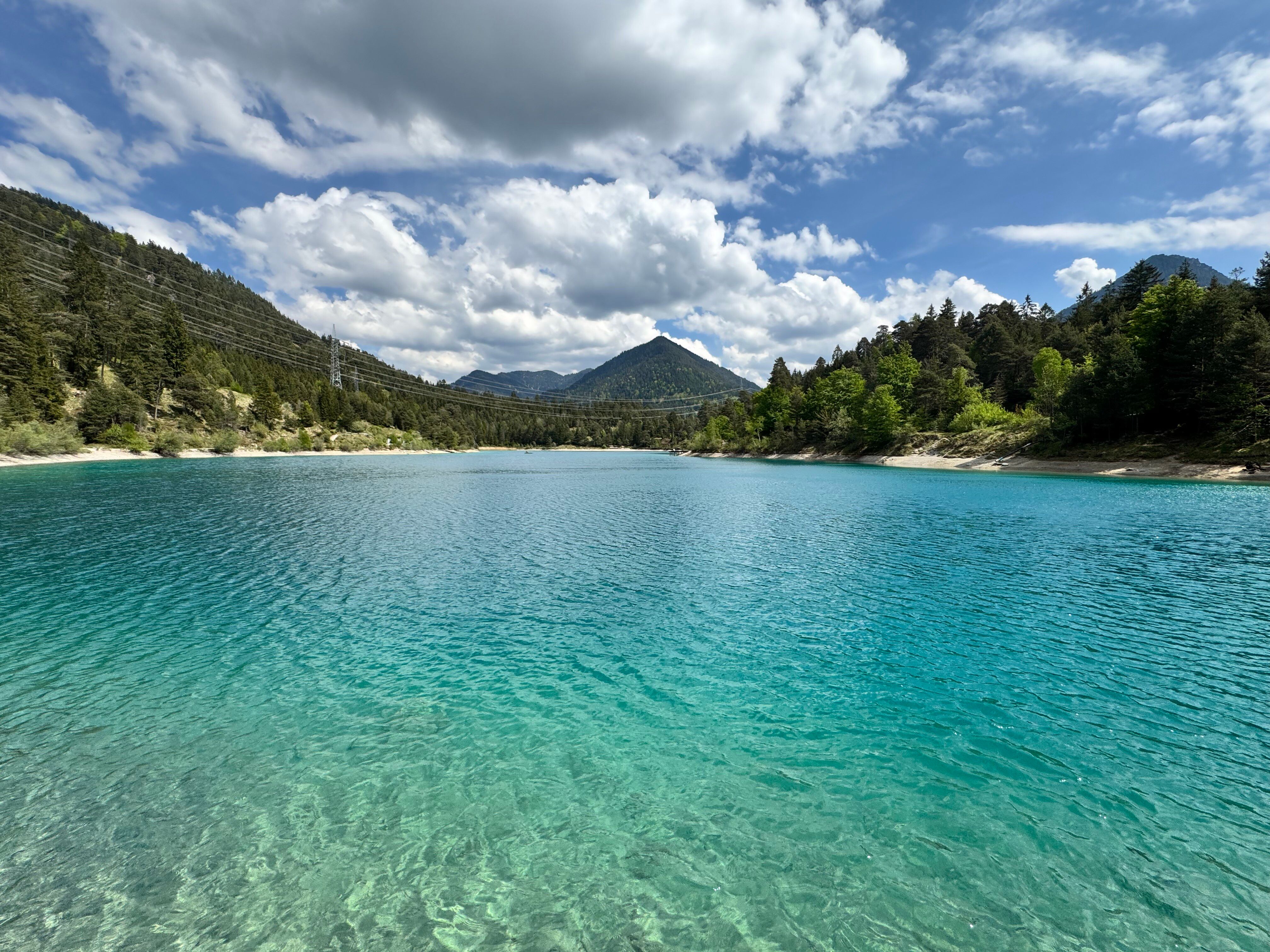

The starting point of the hike is the Urisee parking lot. The route leads through the mountain forest, mostly on paths, up to the Dürrenberg Alm, which towers a good 600 meters above the nature park region in the middle of an alpine meadow. The trail leads past the pasture and up to the Koflerjoch via the path. Beware, this is a difficult mountain trail! Take the same route back to the alpine hut, where you can stop for a bite to eat and enjoy the wonderful panoramic view from the terrace. Alternatively, you can descend from the hut via the gravel road to Lake Urisee.
Take regional bus line 3 to the "Breitenwang Abzw Urisee" stop. Timetables and bus stops can be found at www.vvt.at.
Alternative option: RegioFlink on-demand shuttle – the flexible mobility service provided by VVT
The Reutte Nature Park Region can be reached by car as well as by public transport: Arrival & Mobility
Parking: Urisee Car Park


