
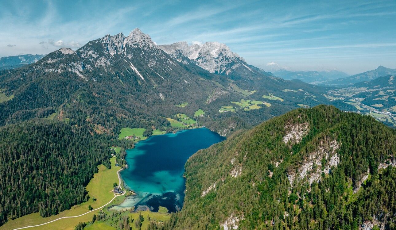
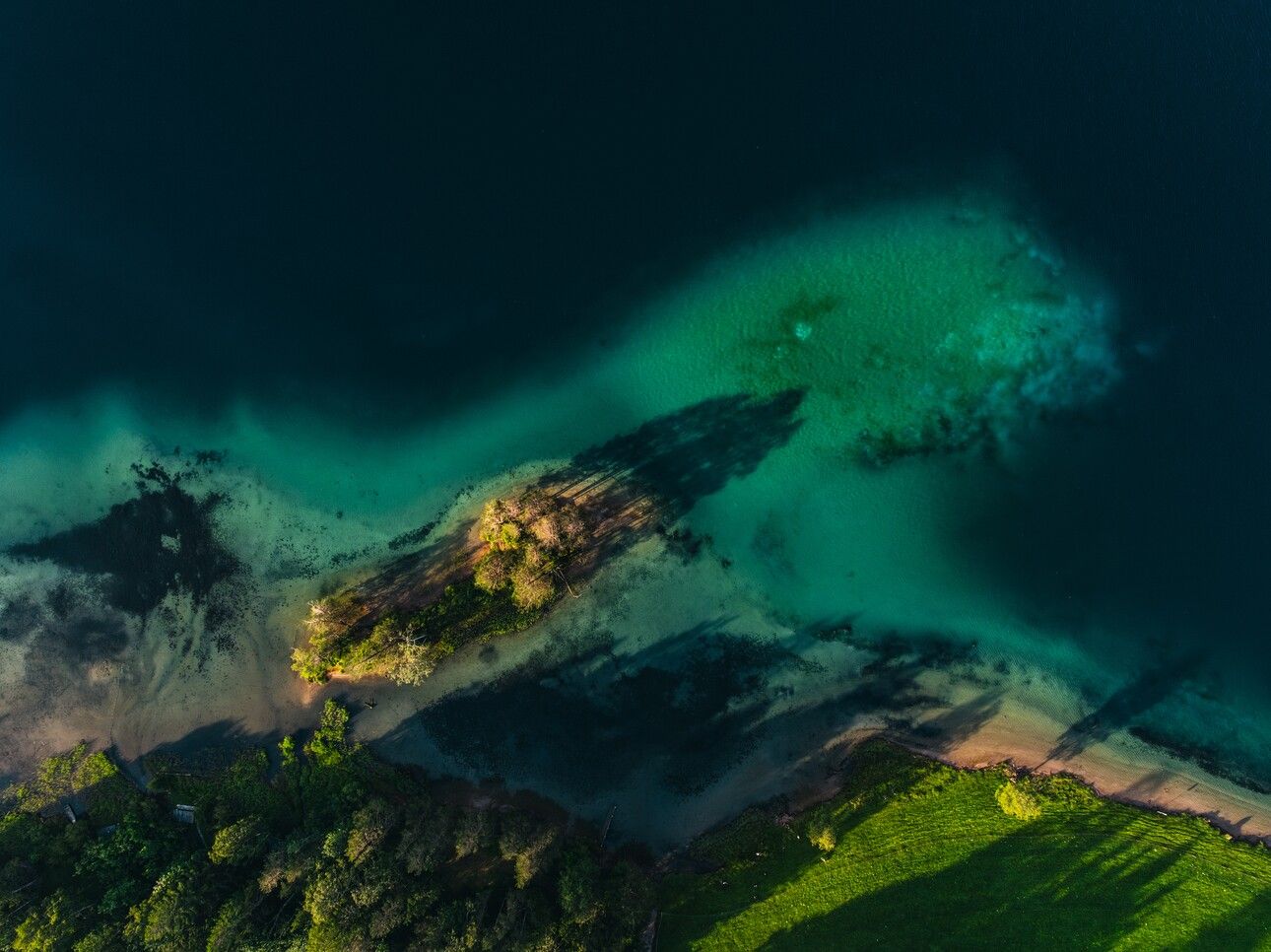
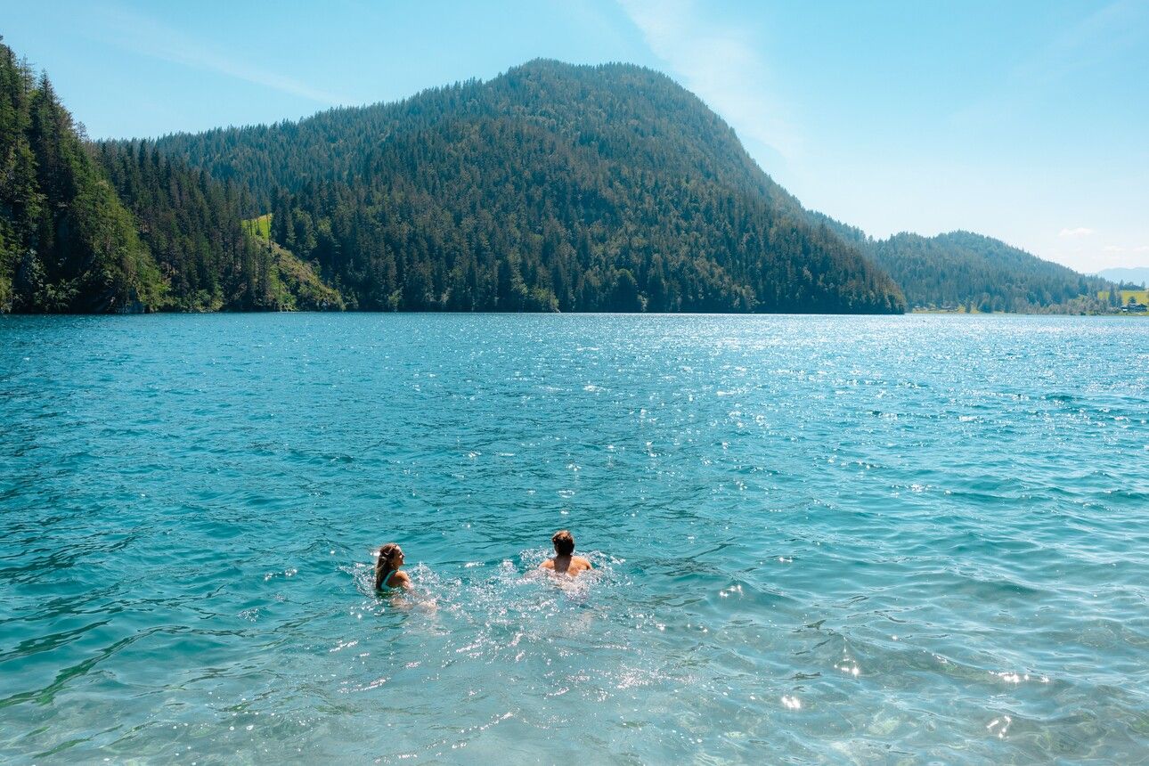
This stage combines the rich natural world of water with alpine variety – from the crystal-clear Hintersteinersee Lake and bubbling springs to the refreshing Rehbach Gorge.
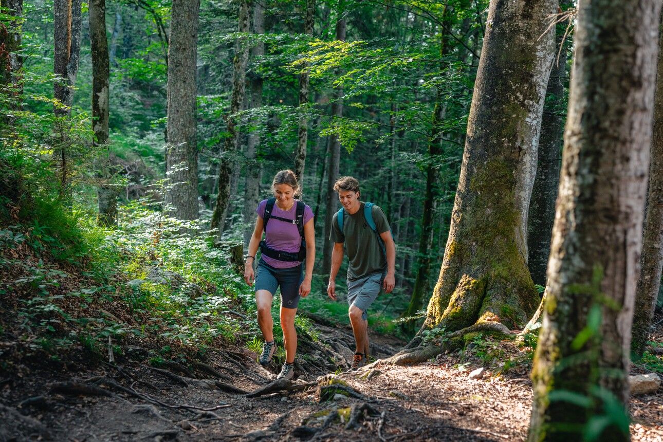

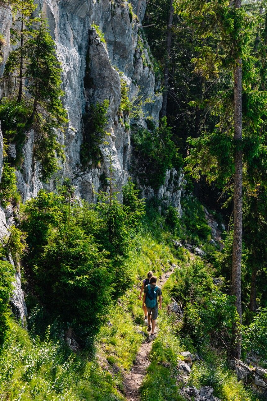
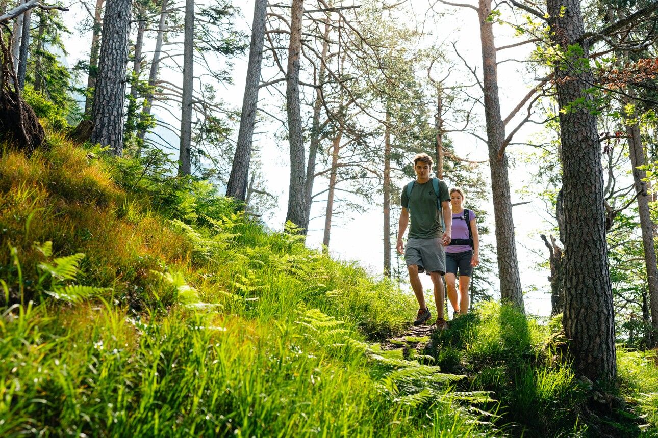
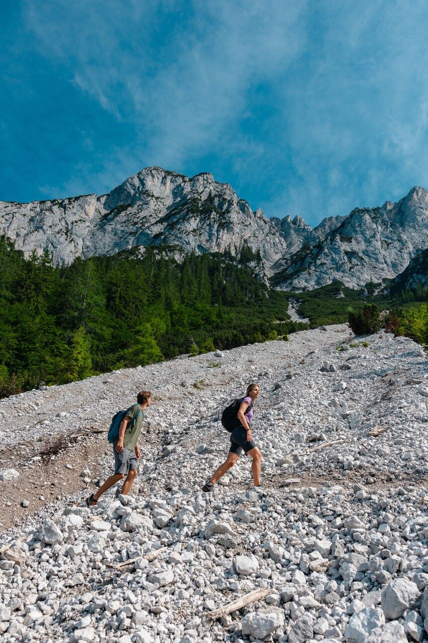
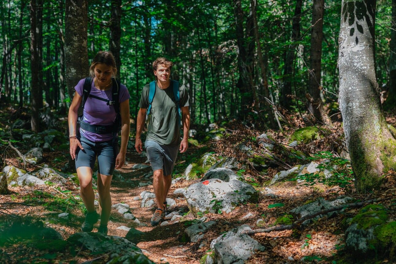
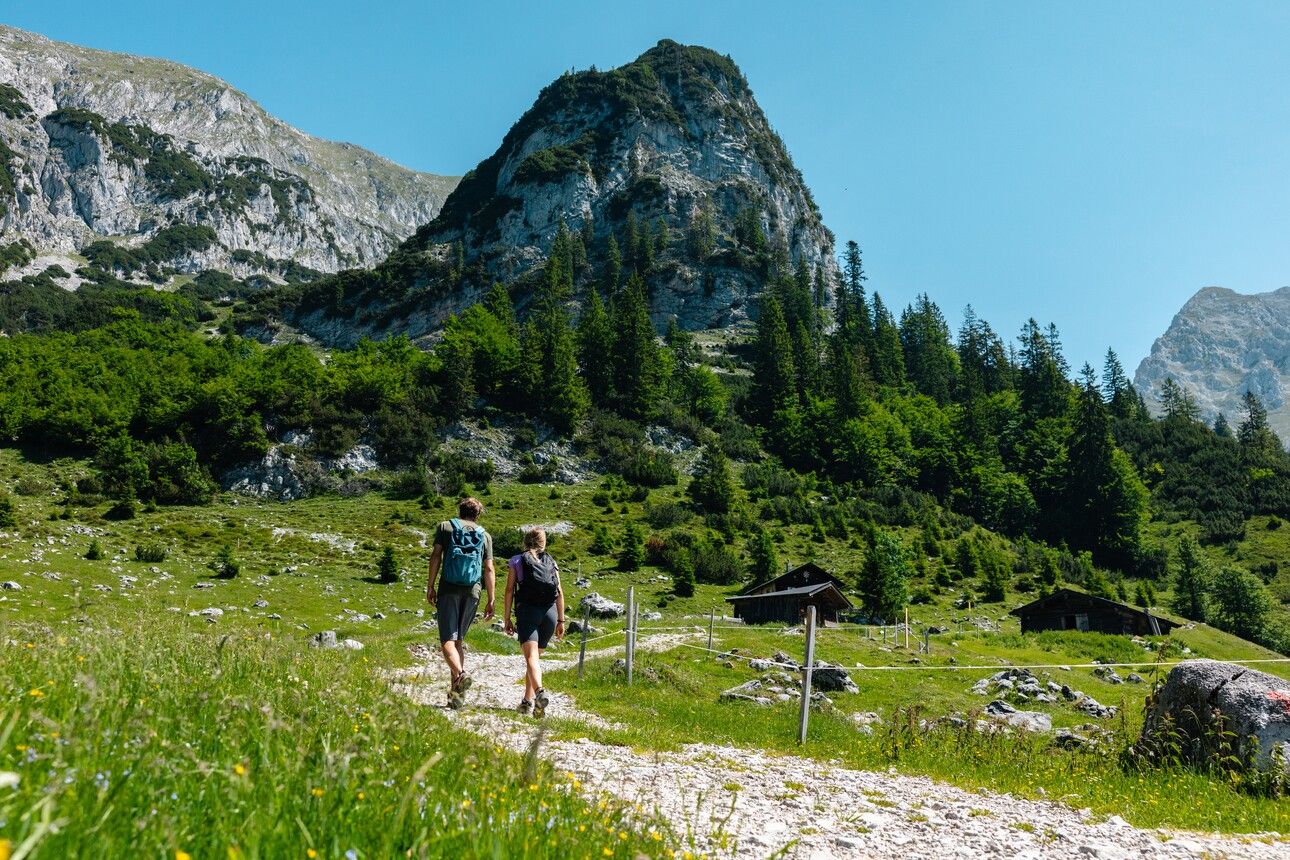
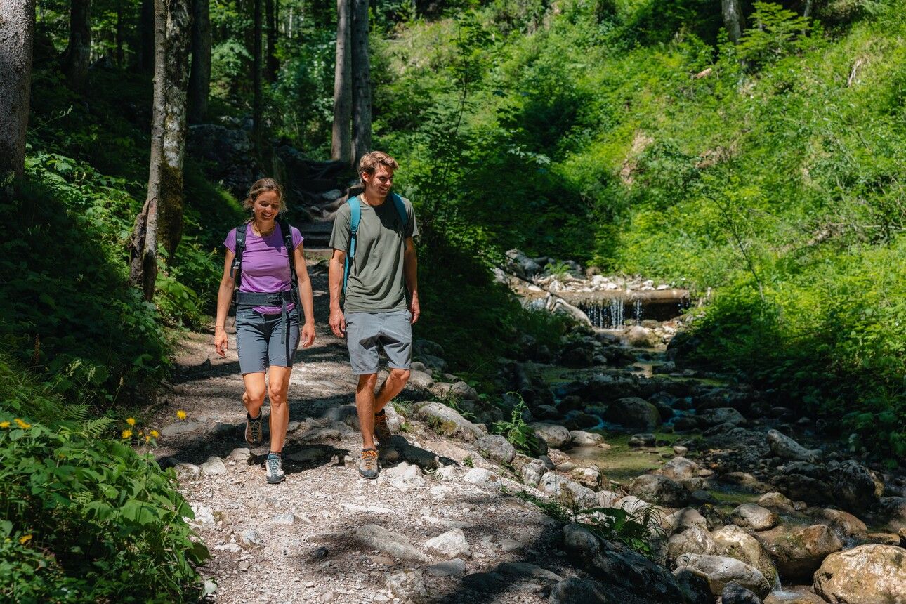
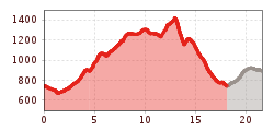
The composition of the trail varies between forest trail, forest road, path, fields of scree, bridges, one rocky passage with a section secured by rope, short sections on asphalt.
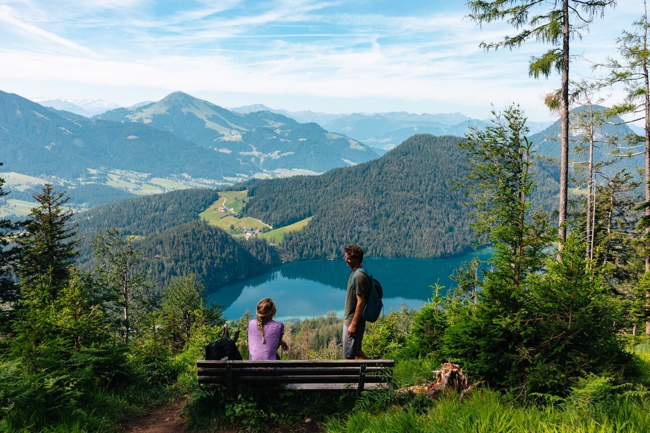
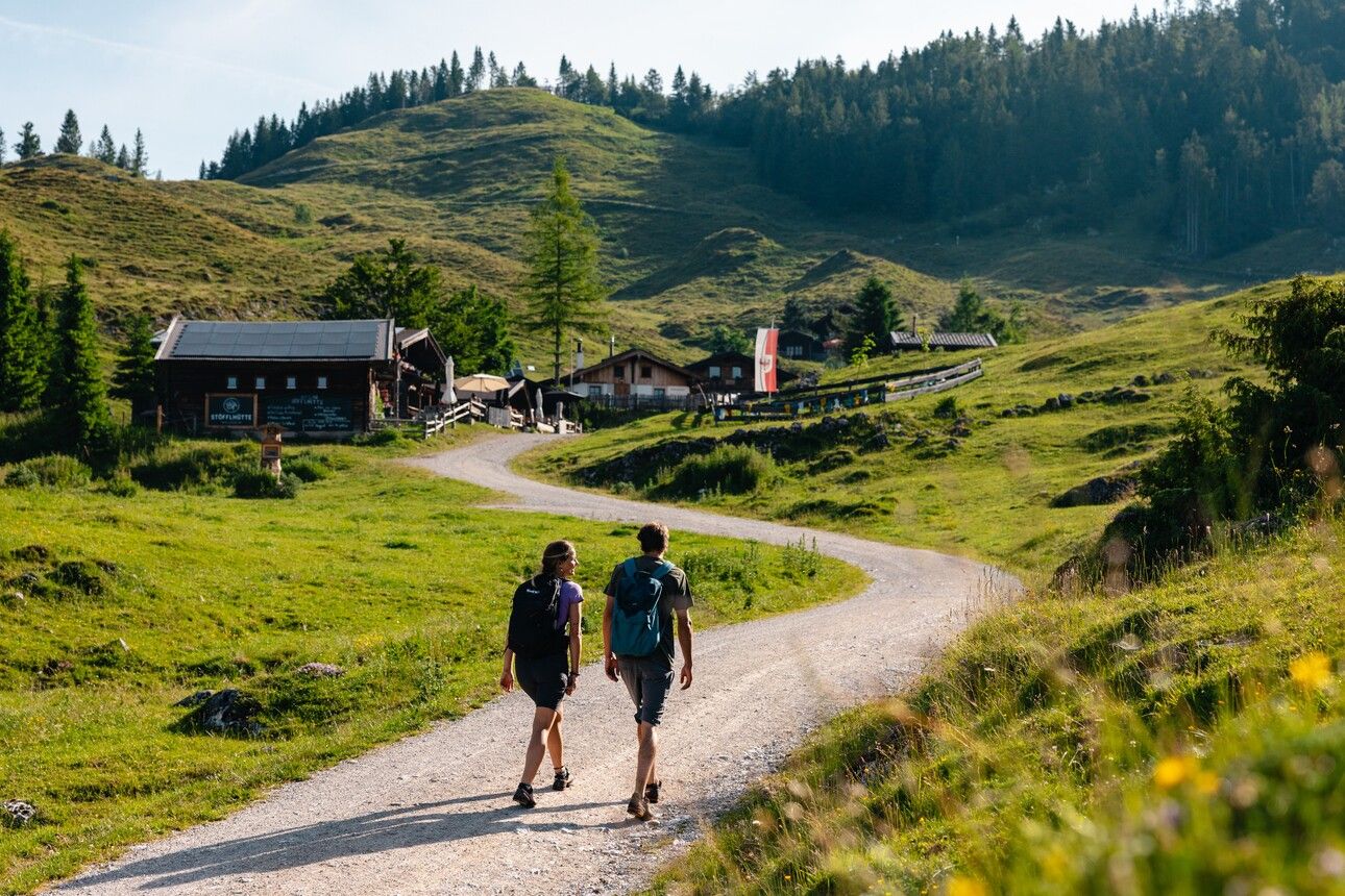
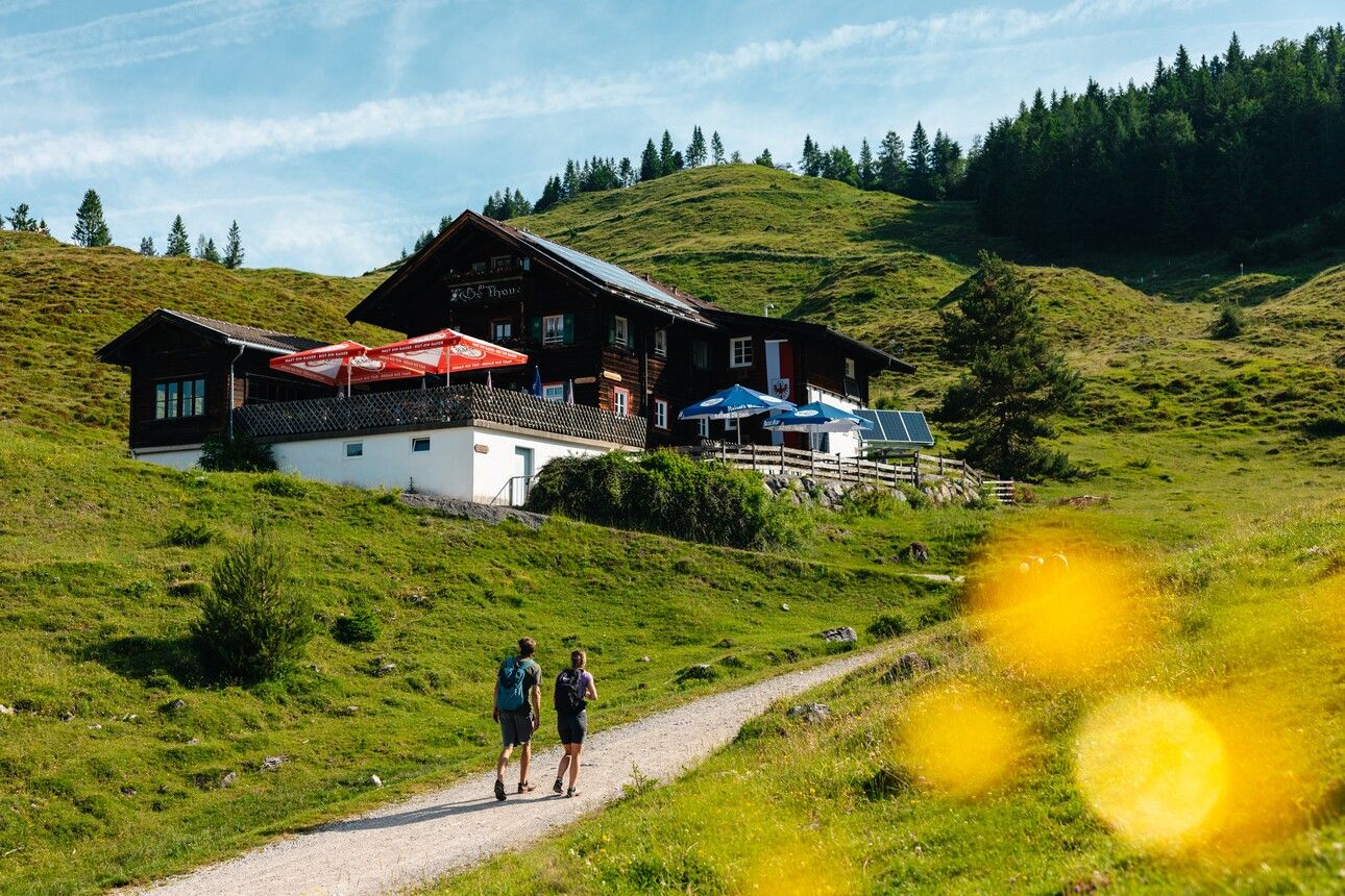
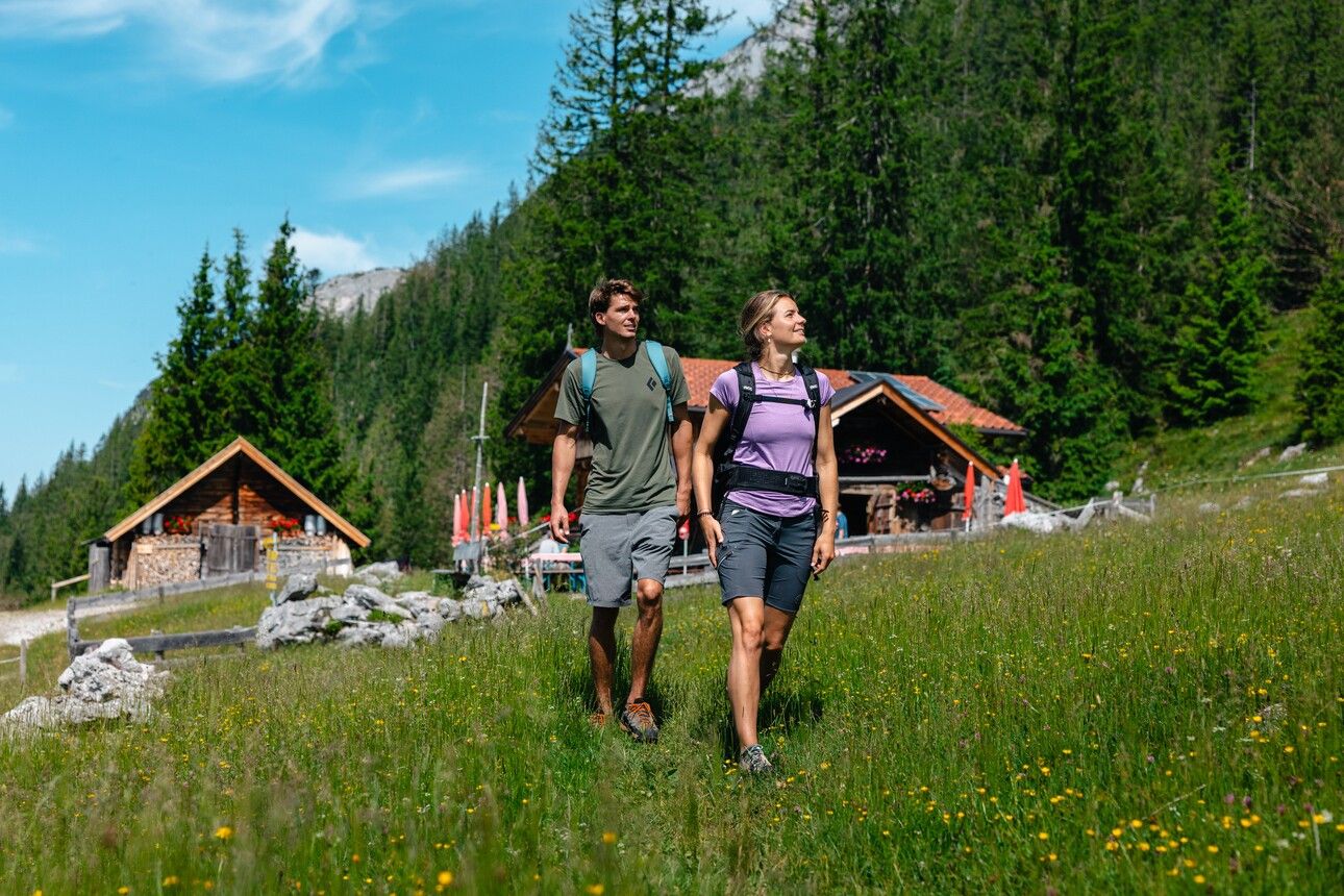
The tour begins at the hiking start point by the Seestüberl on the eastern shore of Hintersteinersee Lake. From there, follow trail no. 45a uphill towards the Walleralm. After the third house, turn right onto the narrow trail. Climbing over root-strewn paths and forest tracks, you’ll reach the alpine pasture with its three serviced huts: the Kafma Alm, Stöfflhütte and Walleralm. Just past the Walleralm, take the forest road to the right, then soon after turn right again towards the Steiner-Hochalm. A short section across alpine meadows leads you onto the WKS (Wilder Kaiser Trail) no. 823 – the Jägersteig – which takes you eastwards through the forest, along rock faces and across scree fields until you reach the Steiner-Hochalm. Along the way, there are repeated opportunities to pause and enjoy the wonderful views over the Hintersteinersee Lake. At the Steiner-Hochalm, you can take a break and enjoy a refreshing drink before continuing east along the WKS.
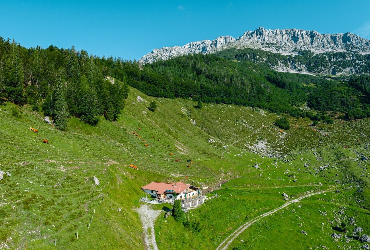
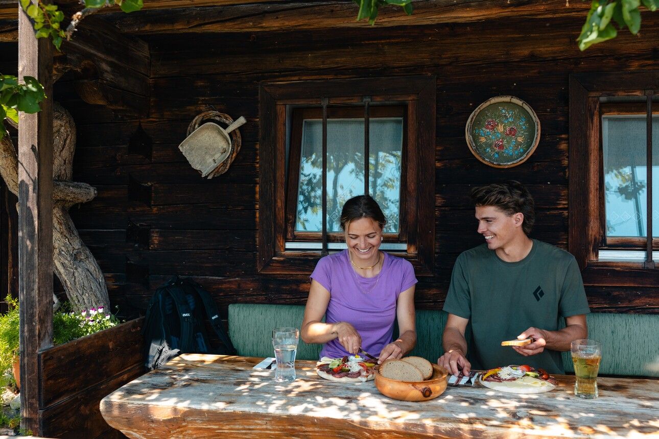
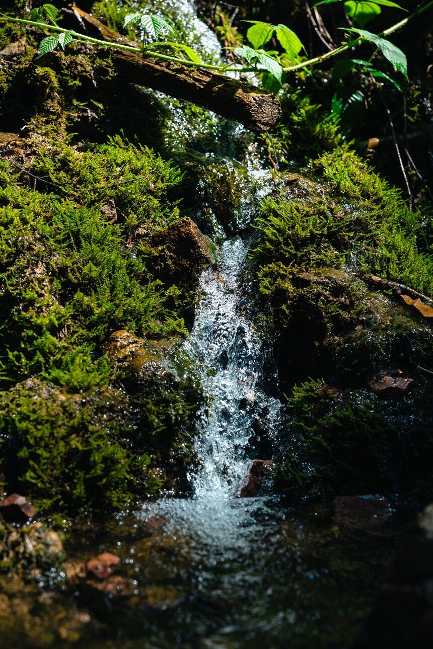
After a short stretch across the alpine pasture, the route turns into the forest. Keep left and follow the trail as it climbs steadily until you reach the forest road, which you continue along to the Kaiser-Hochalm. Though unstaffed, this hut makes a great spot for a photo or a quick rest before you continue downhill from the southwest side of the hut via trail no. 814/826, past the Koasabründl spring, to the Kaiseralm. There’s a trough here with cold drinks – don’t forget to bring coins. If the hut is open, you can also enjoy some delicious homemade specialities.
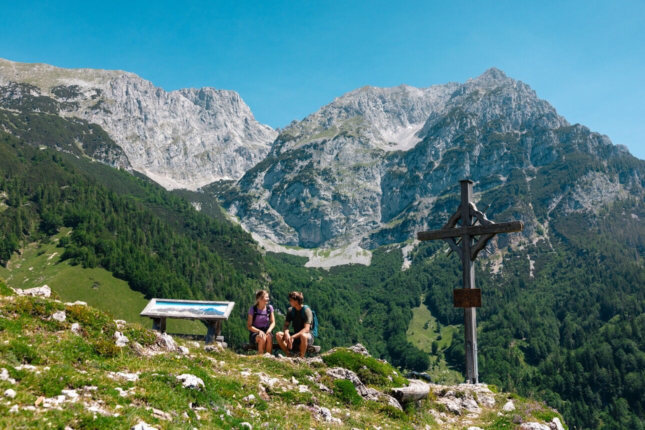
Beyond the Kaiseralm, a short uphill section leads you to the Seilabodenkreuz cross. From here, you'll enjoy stunning views of the rock faces of the Hackenköpfe, Kopfkraxen, Treffauer and Tuxeck peaks. The route then leads westwards across alpine meadows, past the unstaffed Kaiser-Niederalm, over wooden footbridges and short forest sections, and along a cart track downhill to the Hinterschießling Alm. This hut is a perfect place to take a well-earned break and enjoy farm-made products.
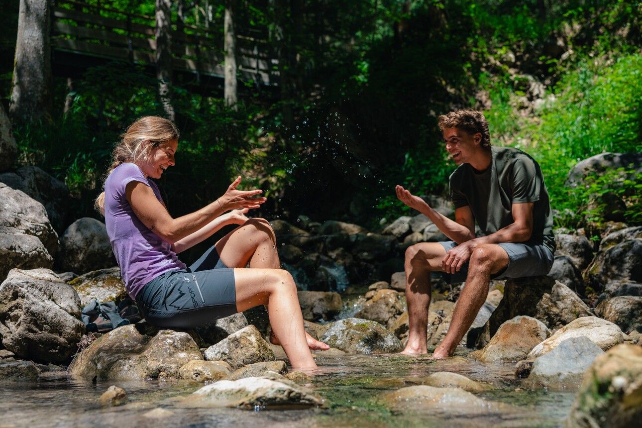
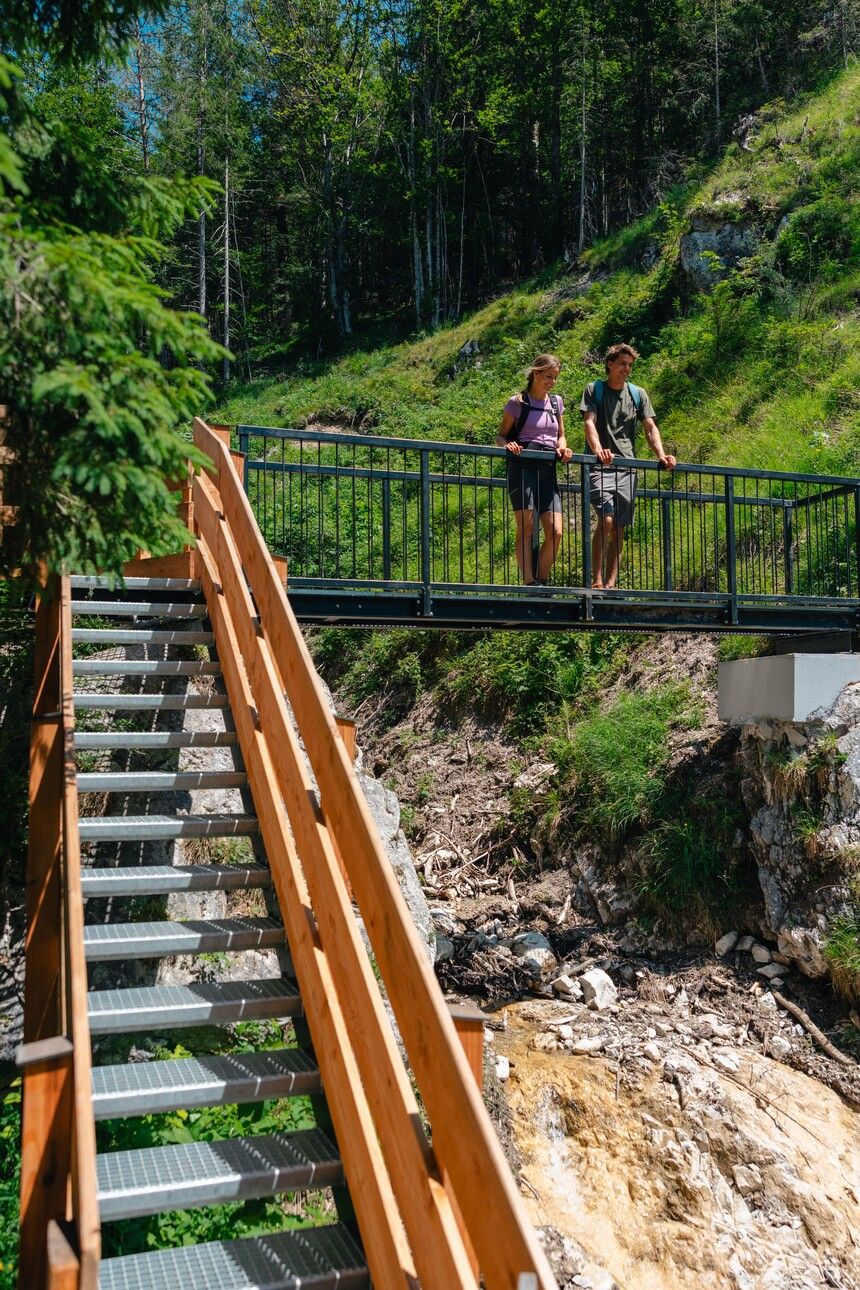
The final but varied section of the hike follows trail no. 42 down through the Rehbach Gorge. Steps and a suspension bridge lead you past a disused mining tunnel from the 16th century before reaching the Gaisberg hiking start point. From here, continue on trail no. 42 along the Rehbach stream, crossing numerous bridges through the gentler lower part of the gorge as you head towards Scheffau.
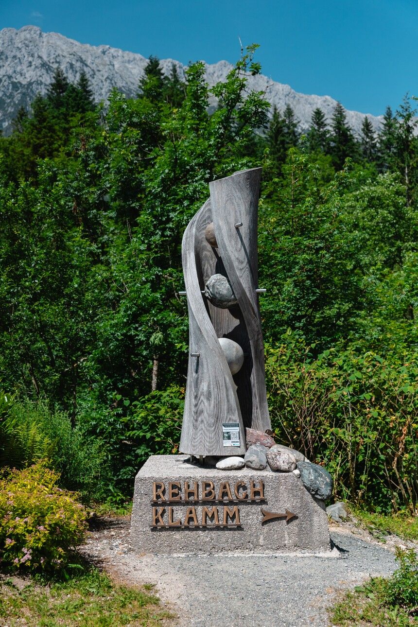
Once you reach the sculpture, turn left onto the paved road through the hamlet of Leiten, which takes you directly back to the village centre of Scheffau.
Alternative for particularly motivated hikers:
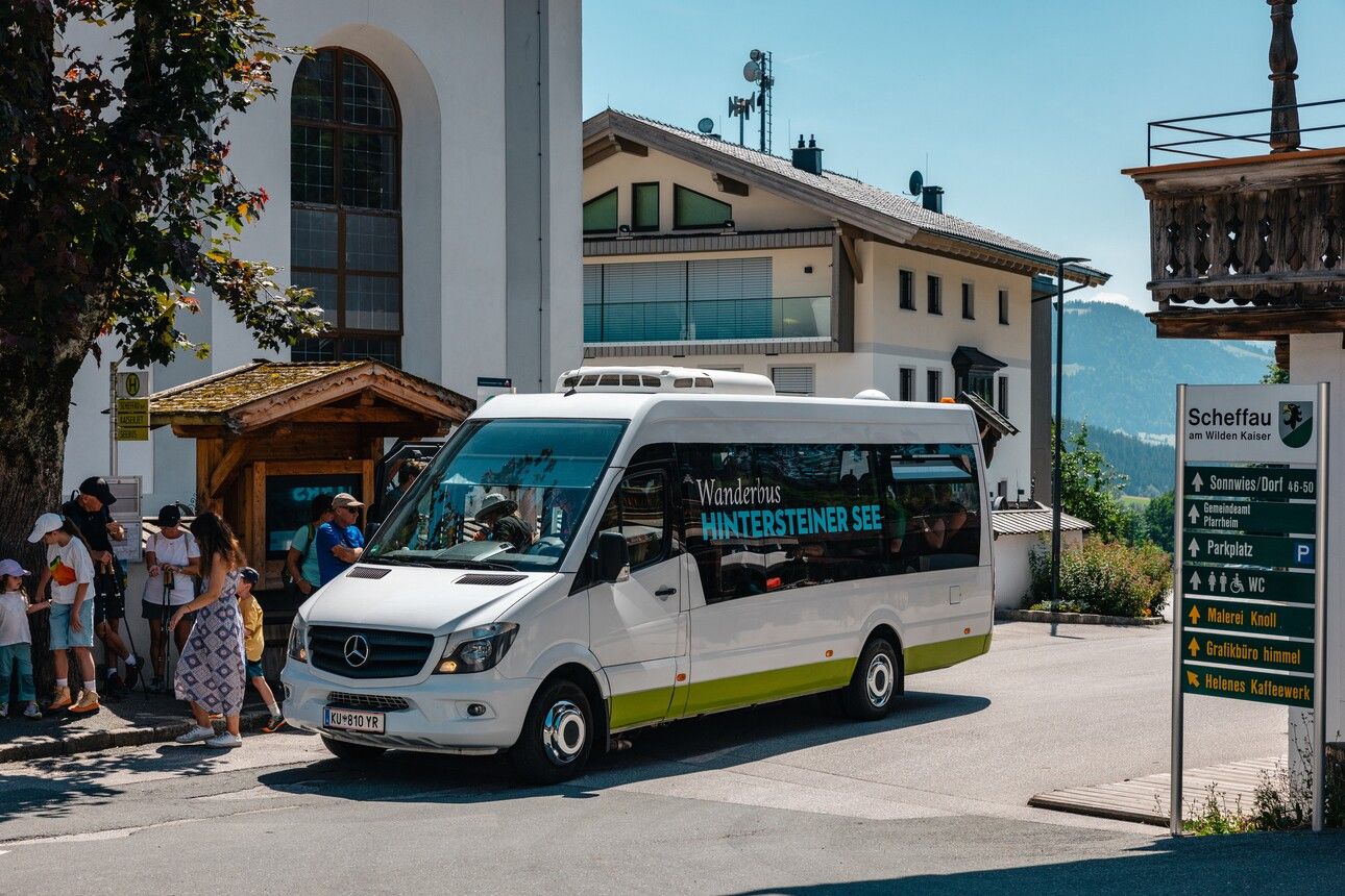
Instead of taking the convenient hiking bus to Hintersteinersee Lake at the start of the route, you can hike this stretch yourself:
Scheffau village – Seebachgraben – Hintersteinersee/Seestüberl hiking start point: approx. 1 hr 30 min
80 KaiserJet and 865+866 VVT-Regiobuslines: Scheffau am Wilden Kaiser Dorf and then
30 KaiserJet: Scheffau am Wilden Kaiser Gh Seestüberl (Strandbad)
More information at: www.wilderkaiser.info/mobility
Car park Hintersteiner See lake opposite the Seestüberl, Scheffau (889 m) – pay & display


