
Öffnungszeiten:Heute geöffnet
Ort:Söll/Scheffau
:Alpine pasture / hut / mountain restaurant
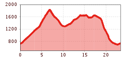
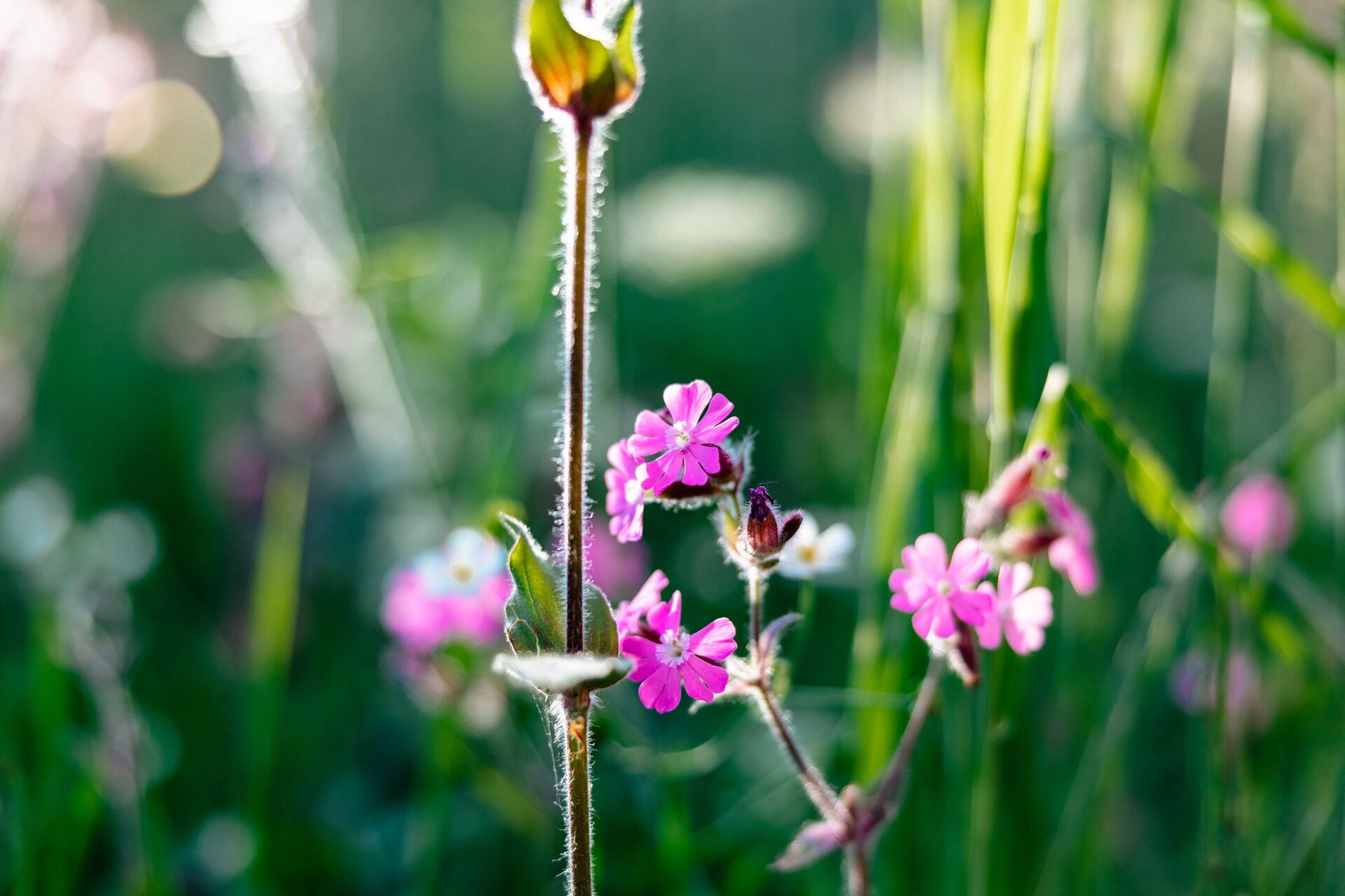
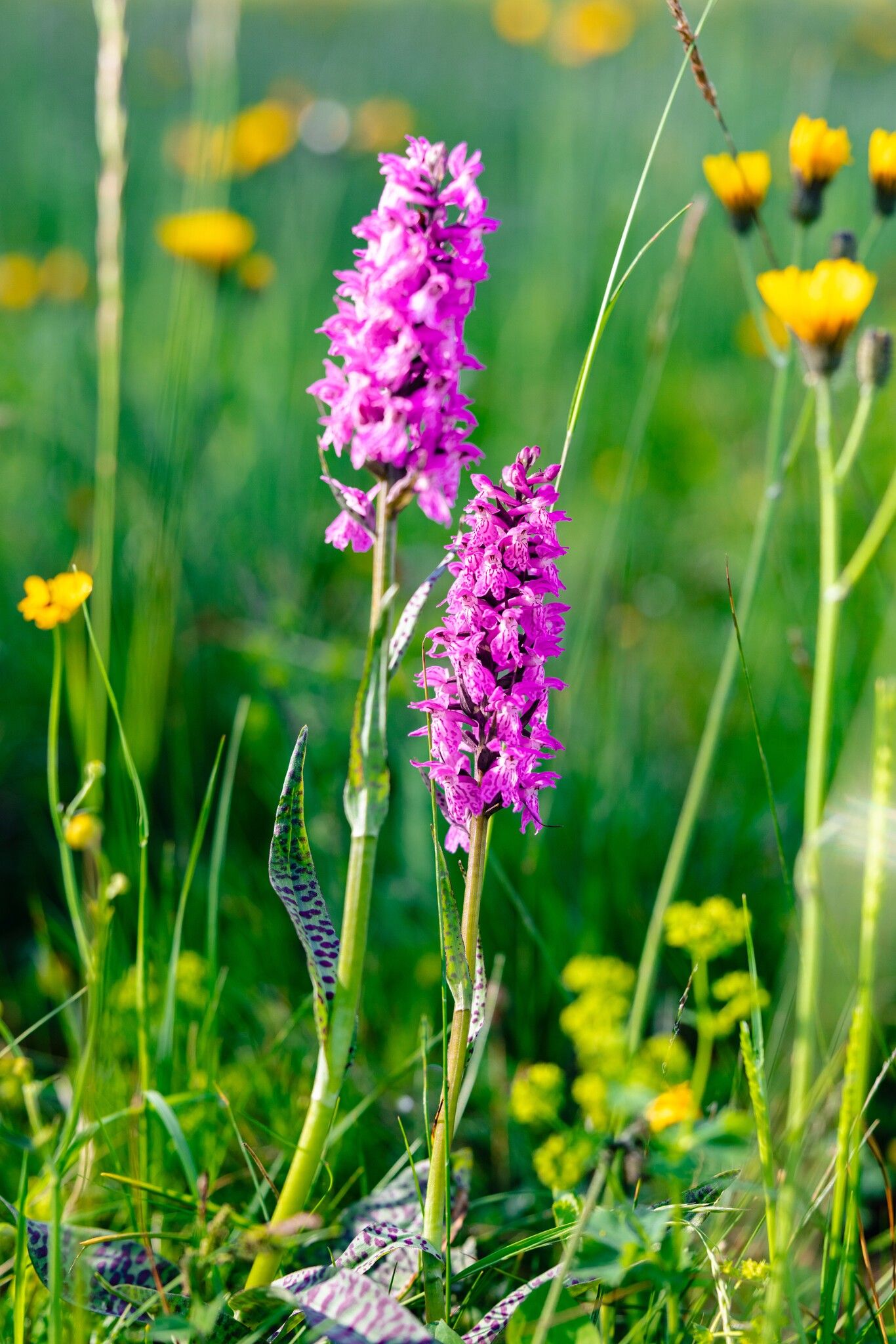
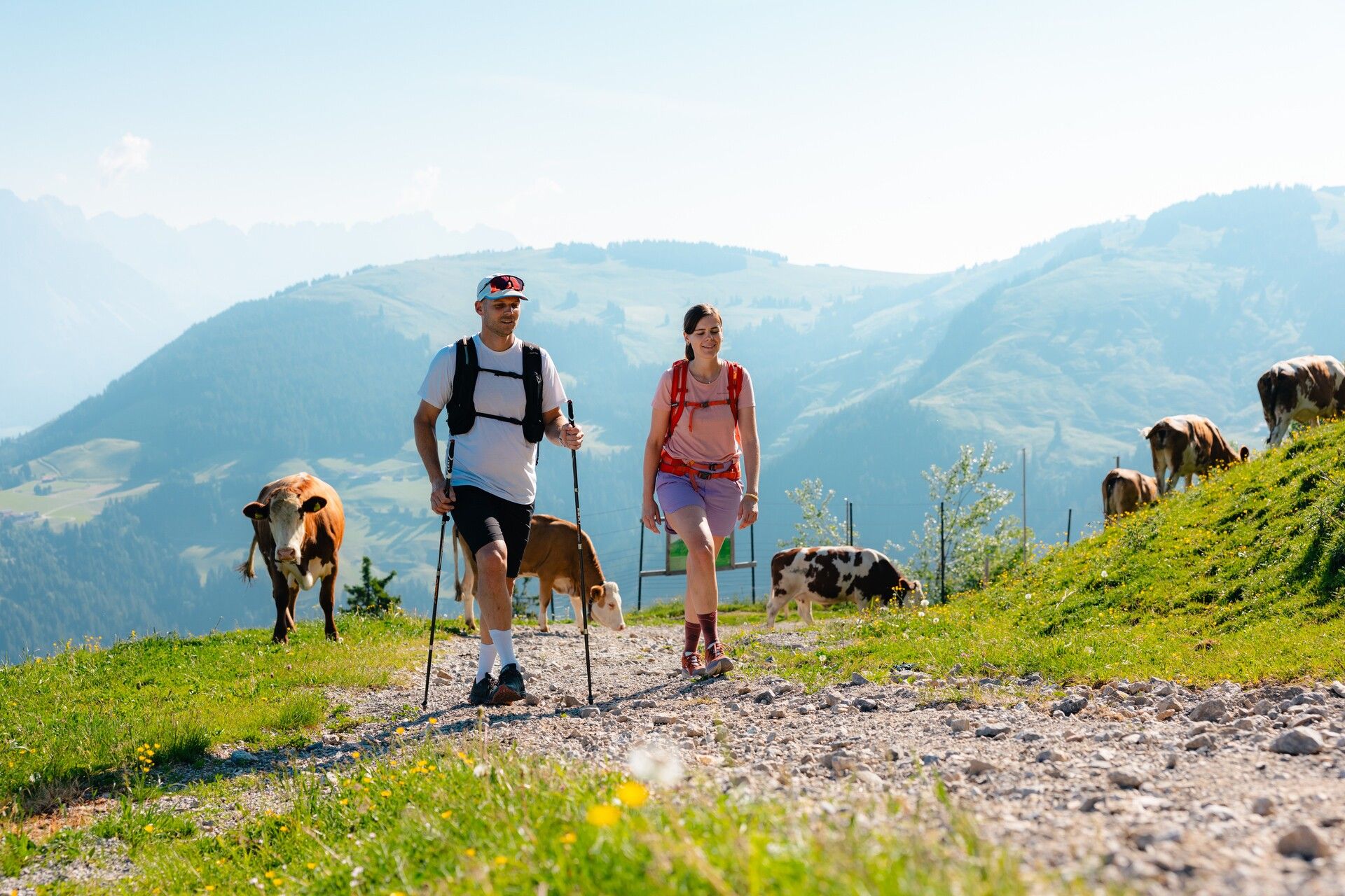
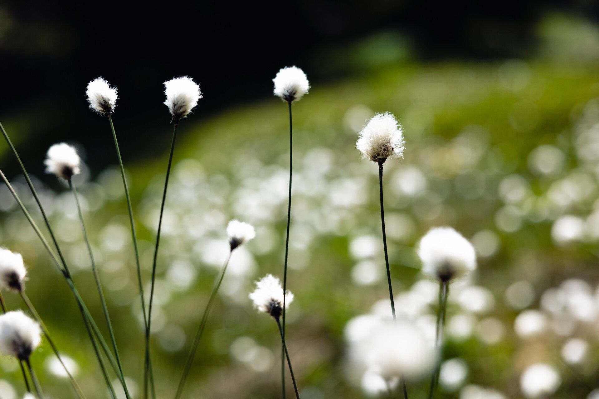
This stage explores the varied alpine pasture landscape, passing traditional huts, flower-filled meadows and glittering mountain lakes – all the way up to the Hohe Salve, said to be Tyrol’s most beautiful panoramic summit.
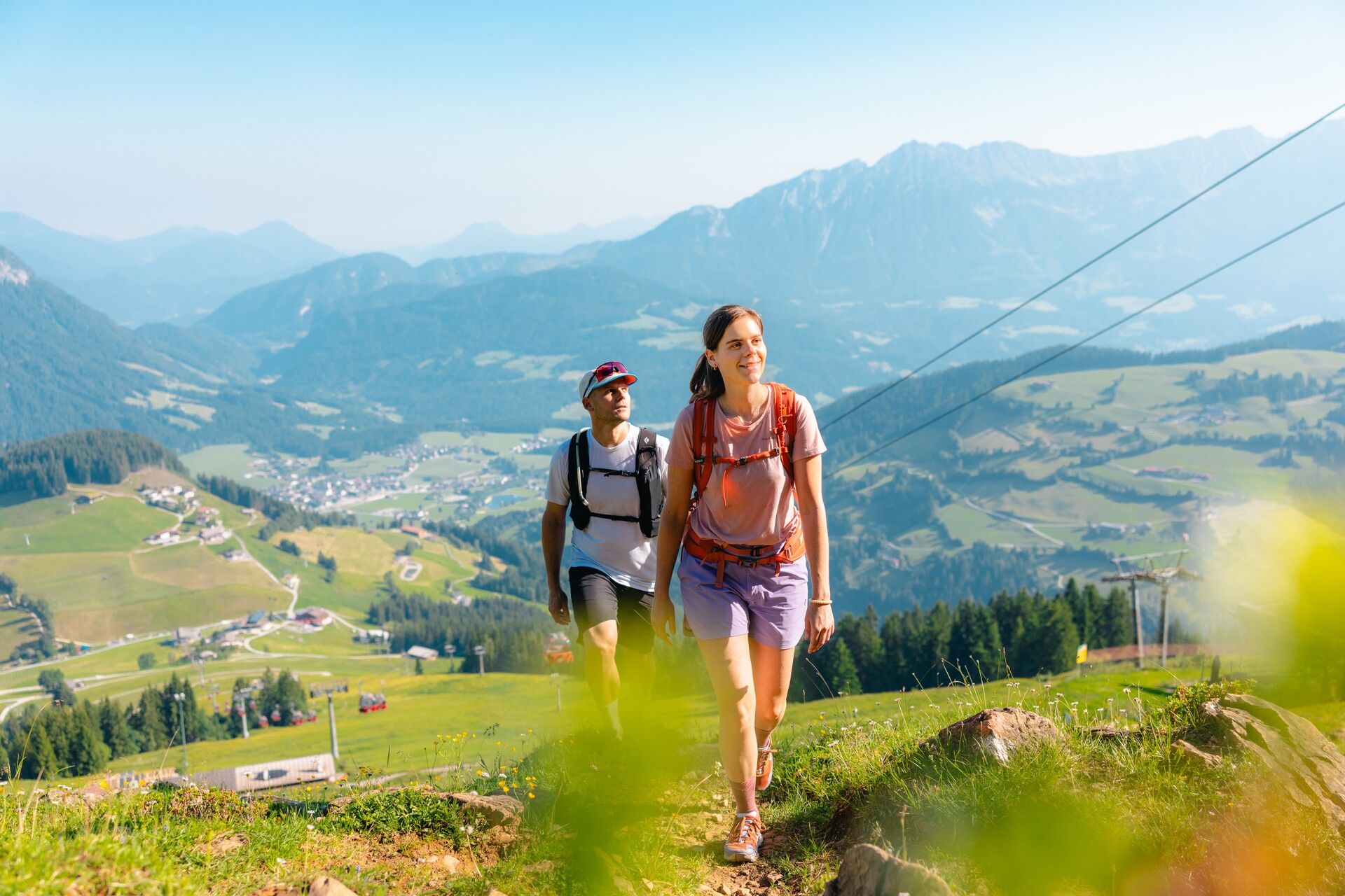
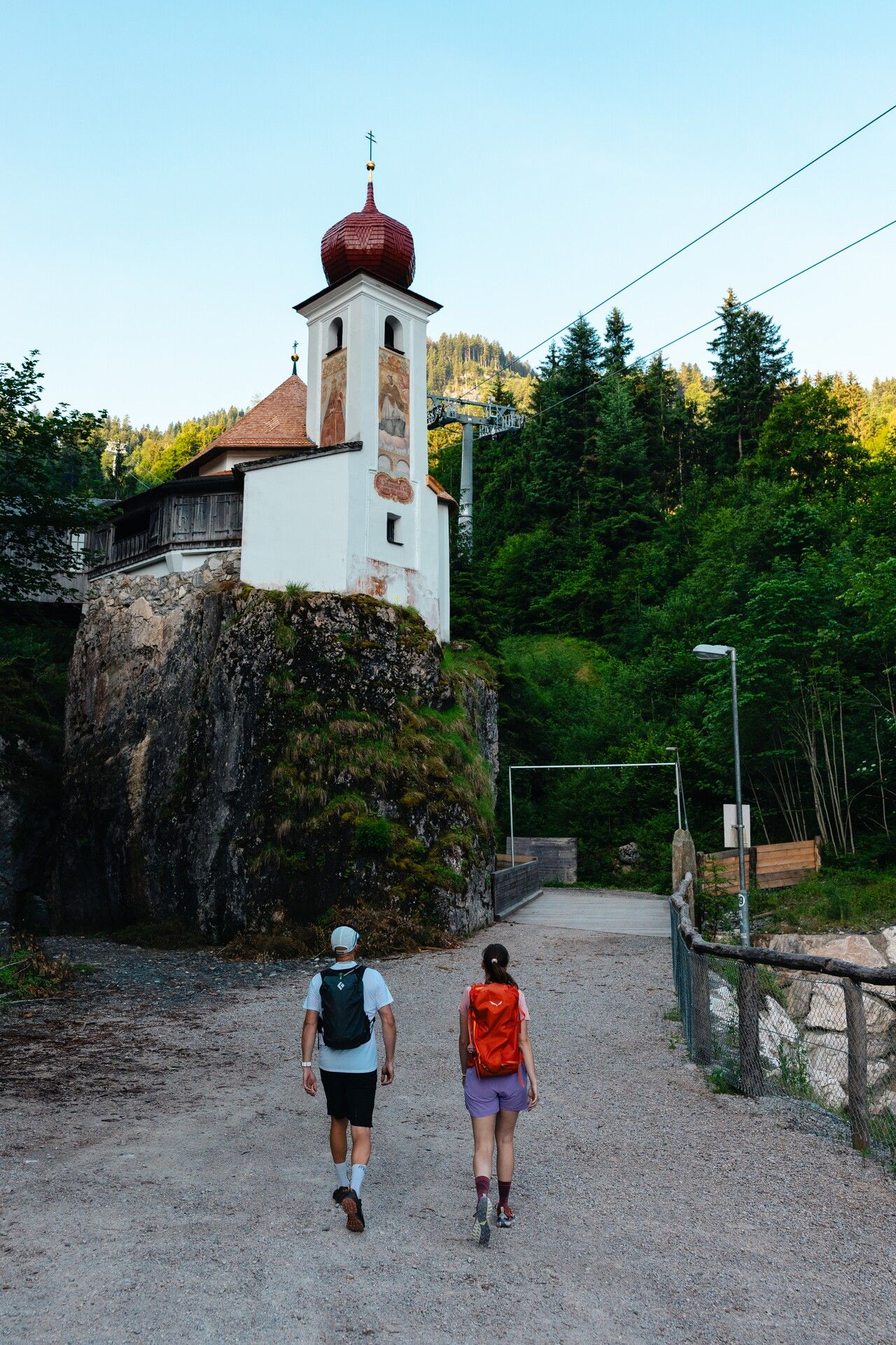
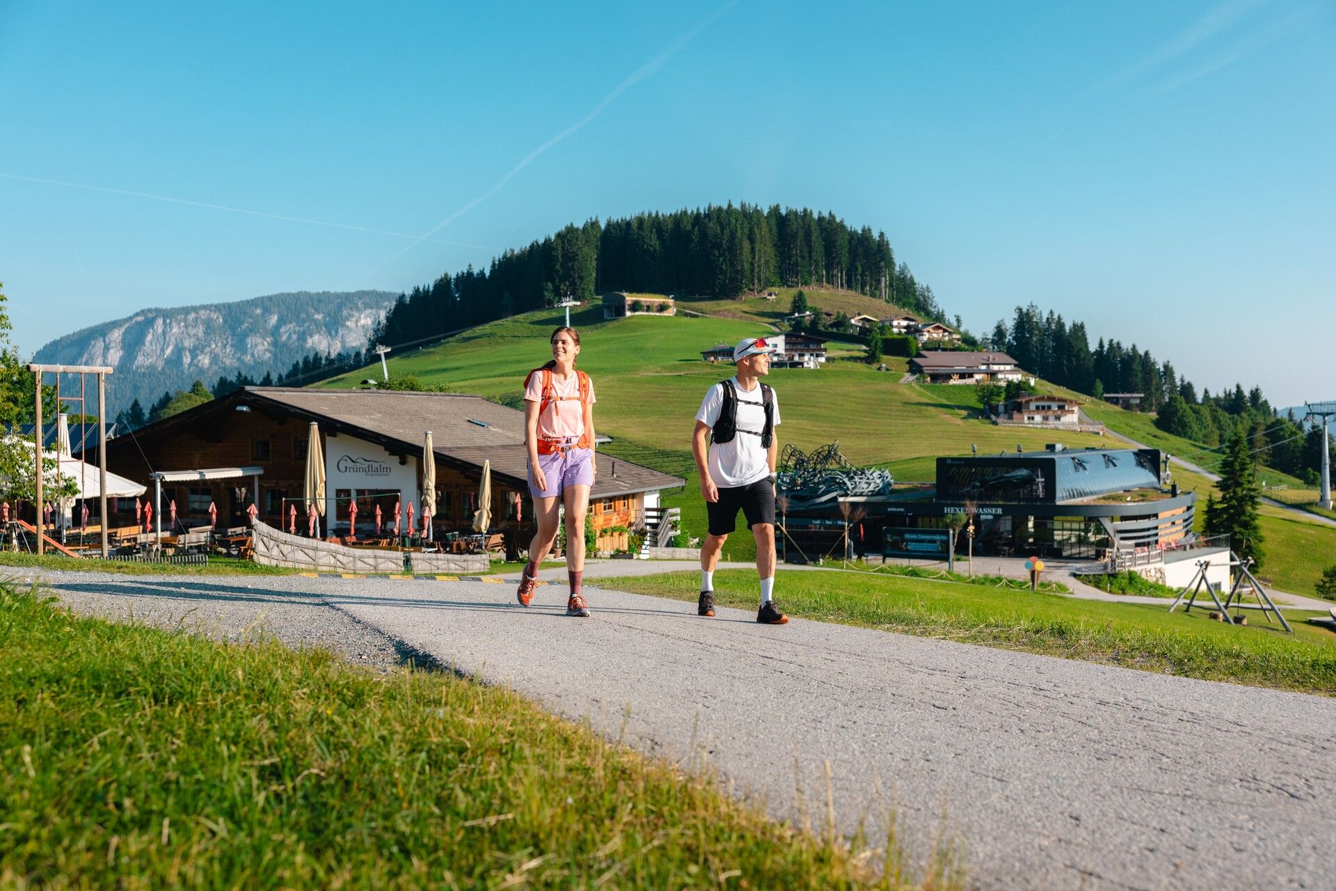
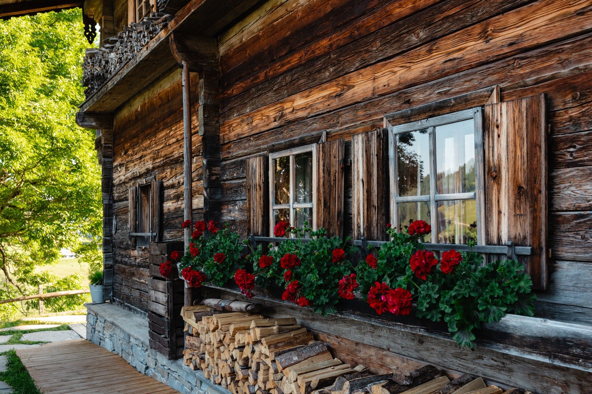
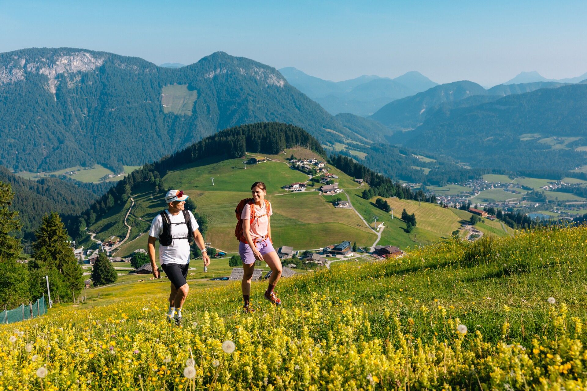
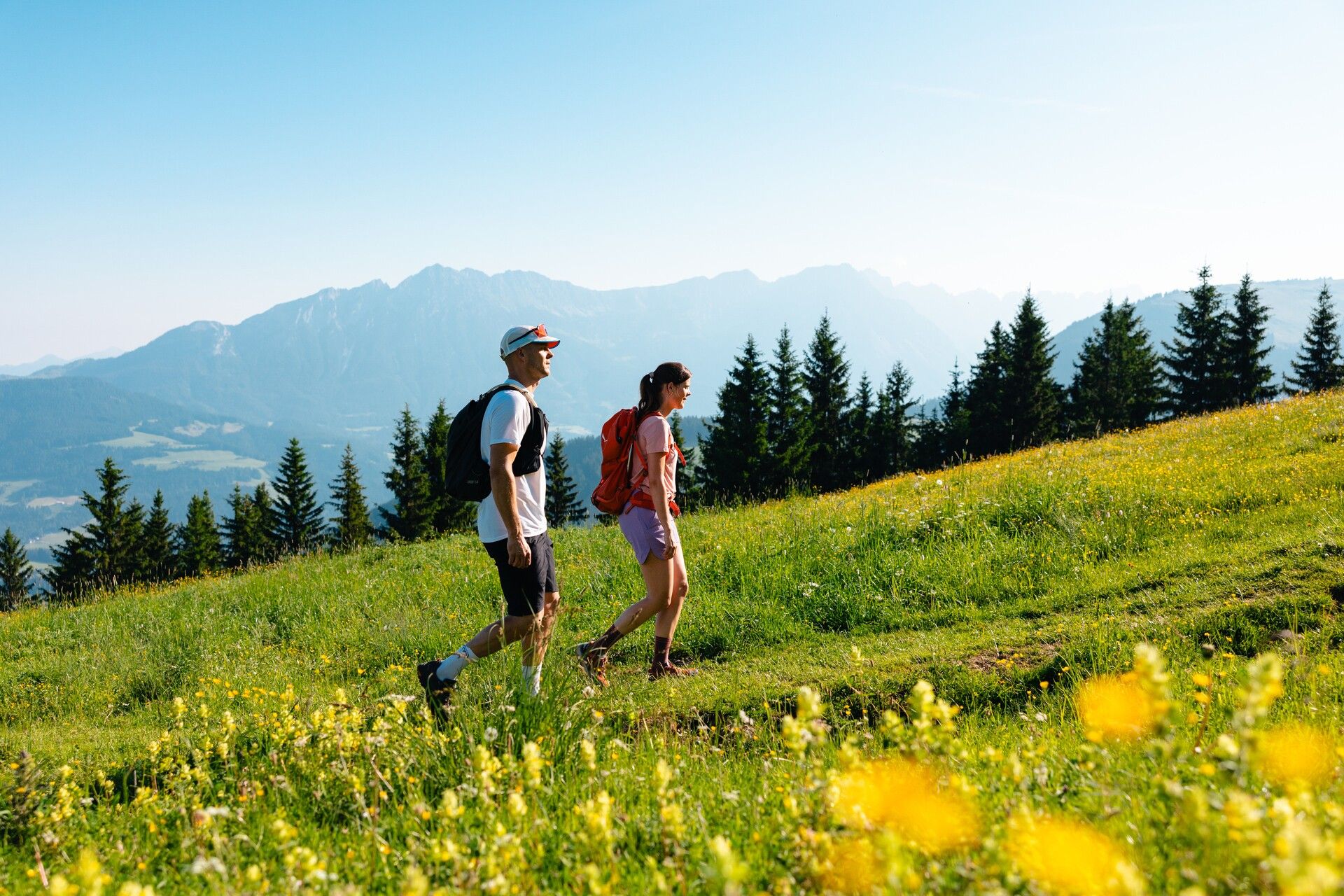
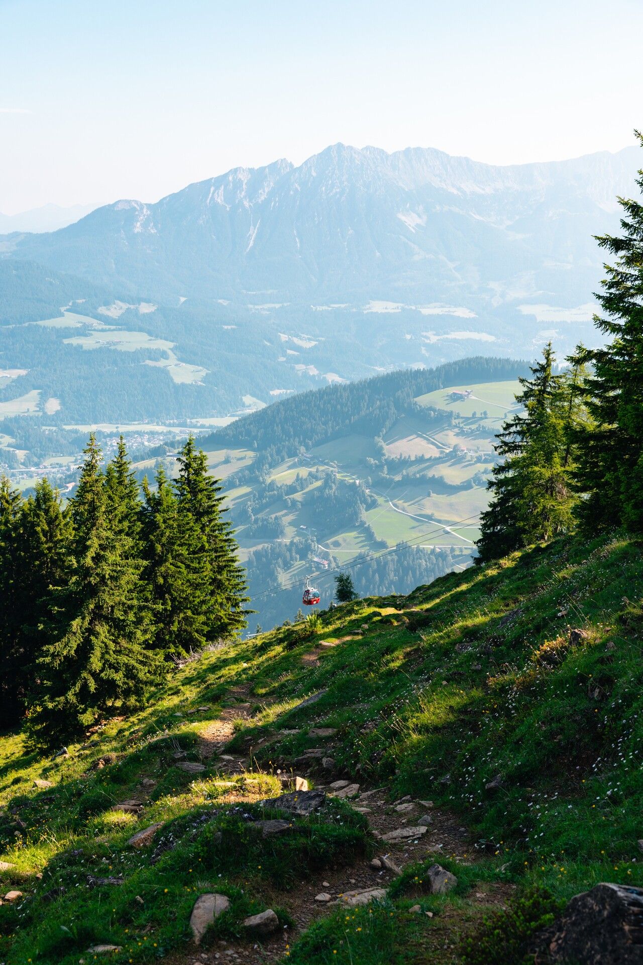
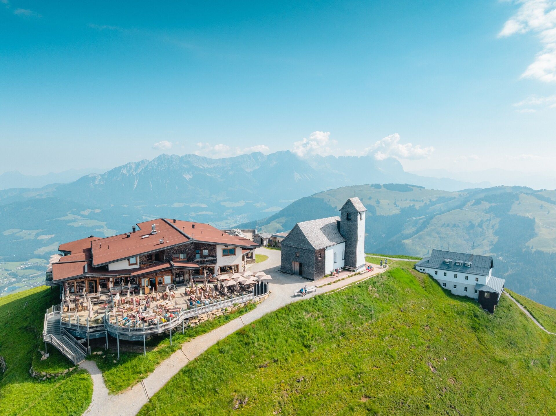
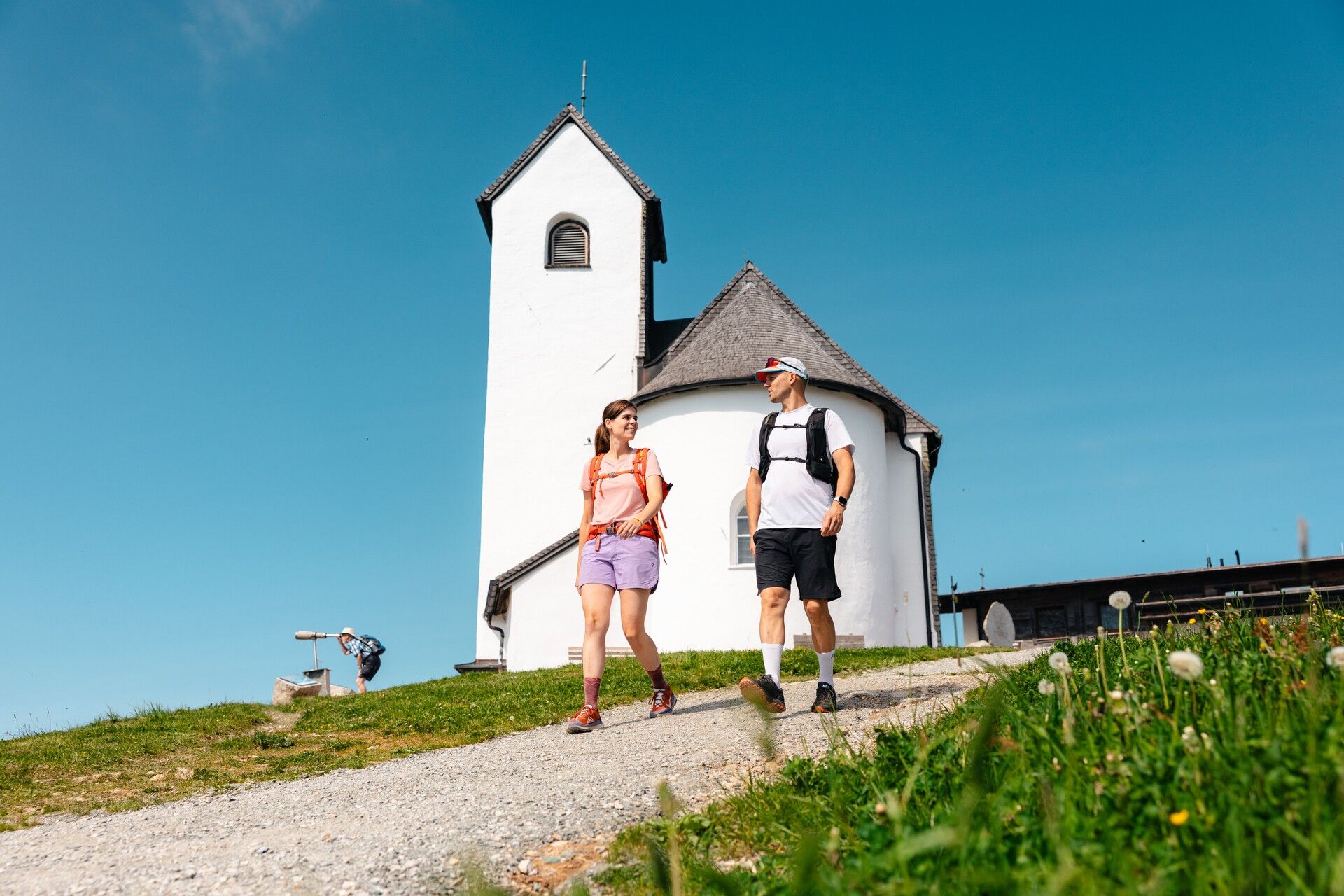
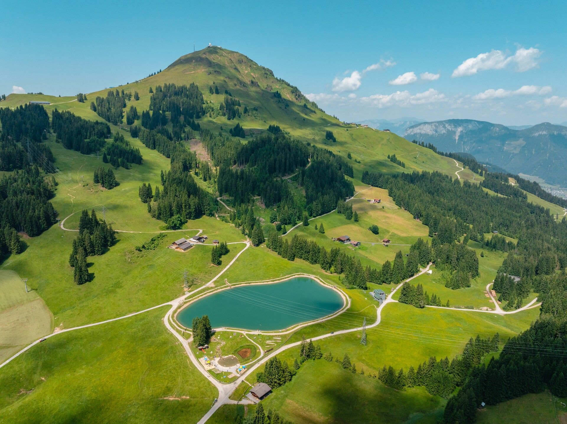
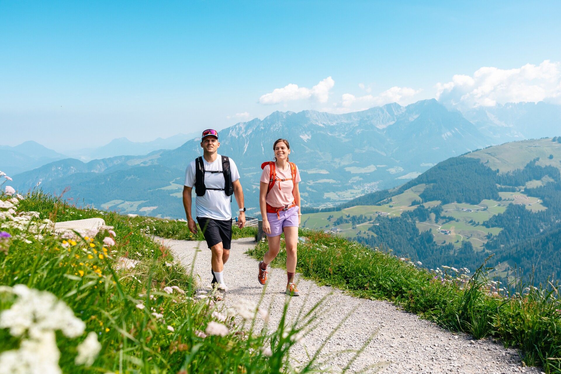
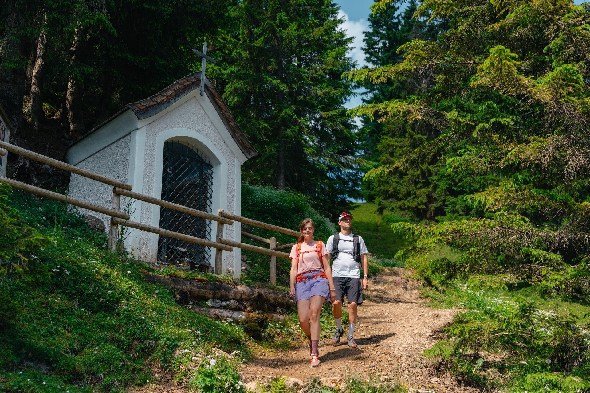
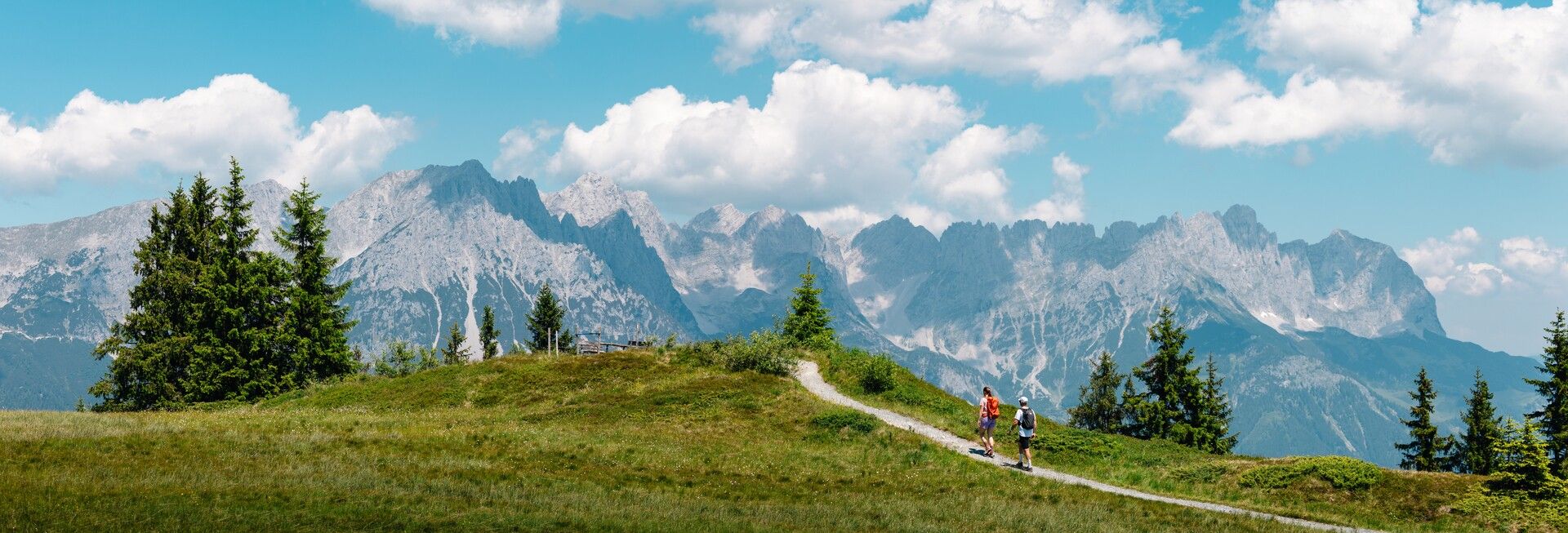
The tour begins at the Söll cable car car park. From there, take the “Hexenwasser” gondola up to Hochsöll. Follow trail no. 50 past the Gründlalm and keep right towards the Hohe Salve. Along the way, you’ll pass the picturesque Simonalm – a farmhouse over 300 years old – offering a short journey back in time. The trail continues steadily uphill. Passing the Angeralm, follow the alpine meadow trail to a fork, where you keep left until you join the high-altitude trail no. 70. Turn briefly left, then immediately right, and continue on trail no. 50 past the top station of the Keat lift. At the junction where the trail from Berggasthof Rigi joins, follow the final ascent to the summit of the Hohe Salve. This is the perfect place to take a break and soak up the 360-degree views of more than seventy 3,000-metre peaks – all from what is considered Tyrol’s number one panoramic mountain. The rotating viewing platform at the summit restaurant makes it easy to take in the full view. You can also visit Austria’s highest pilgrimage church, located right at the summit.
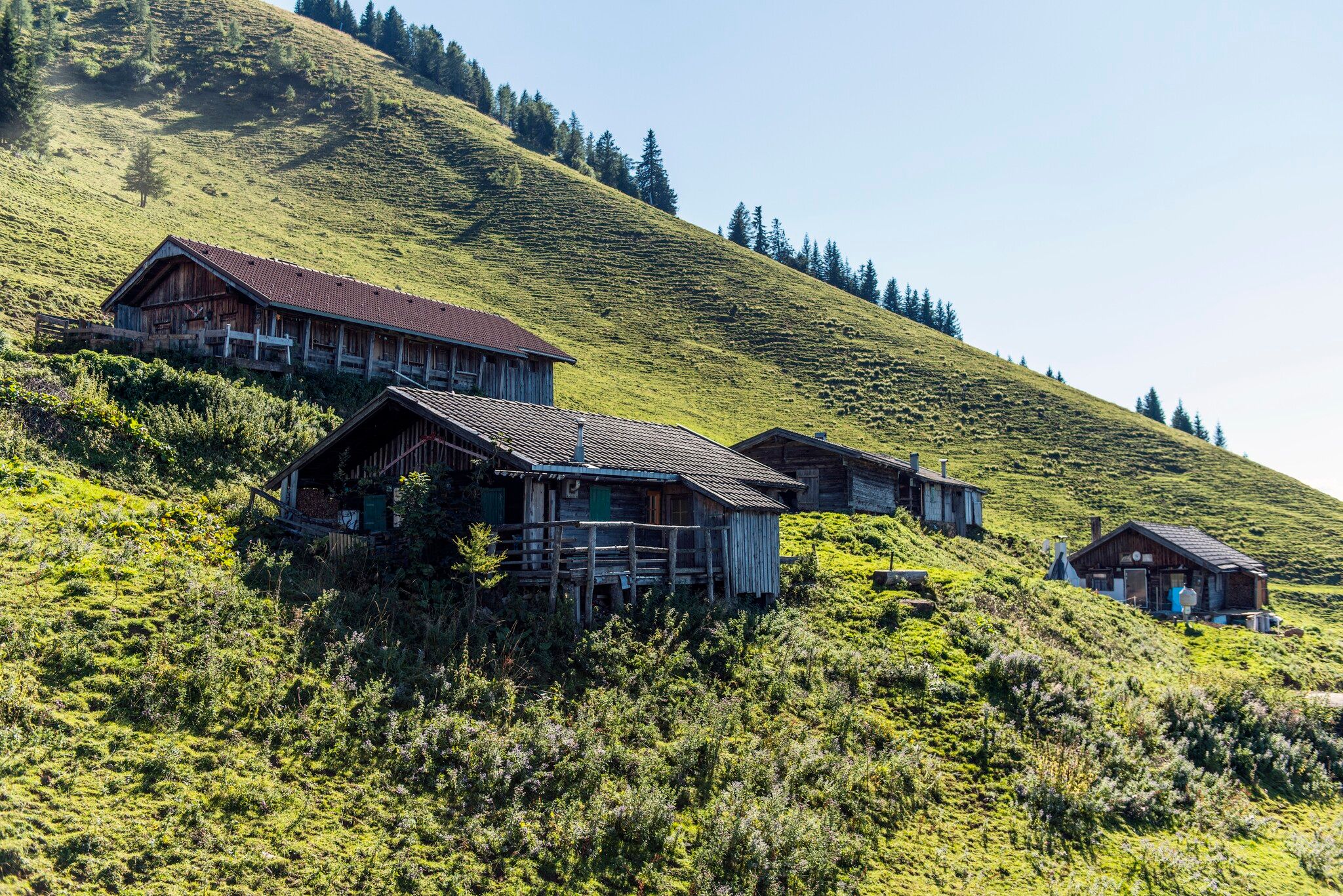
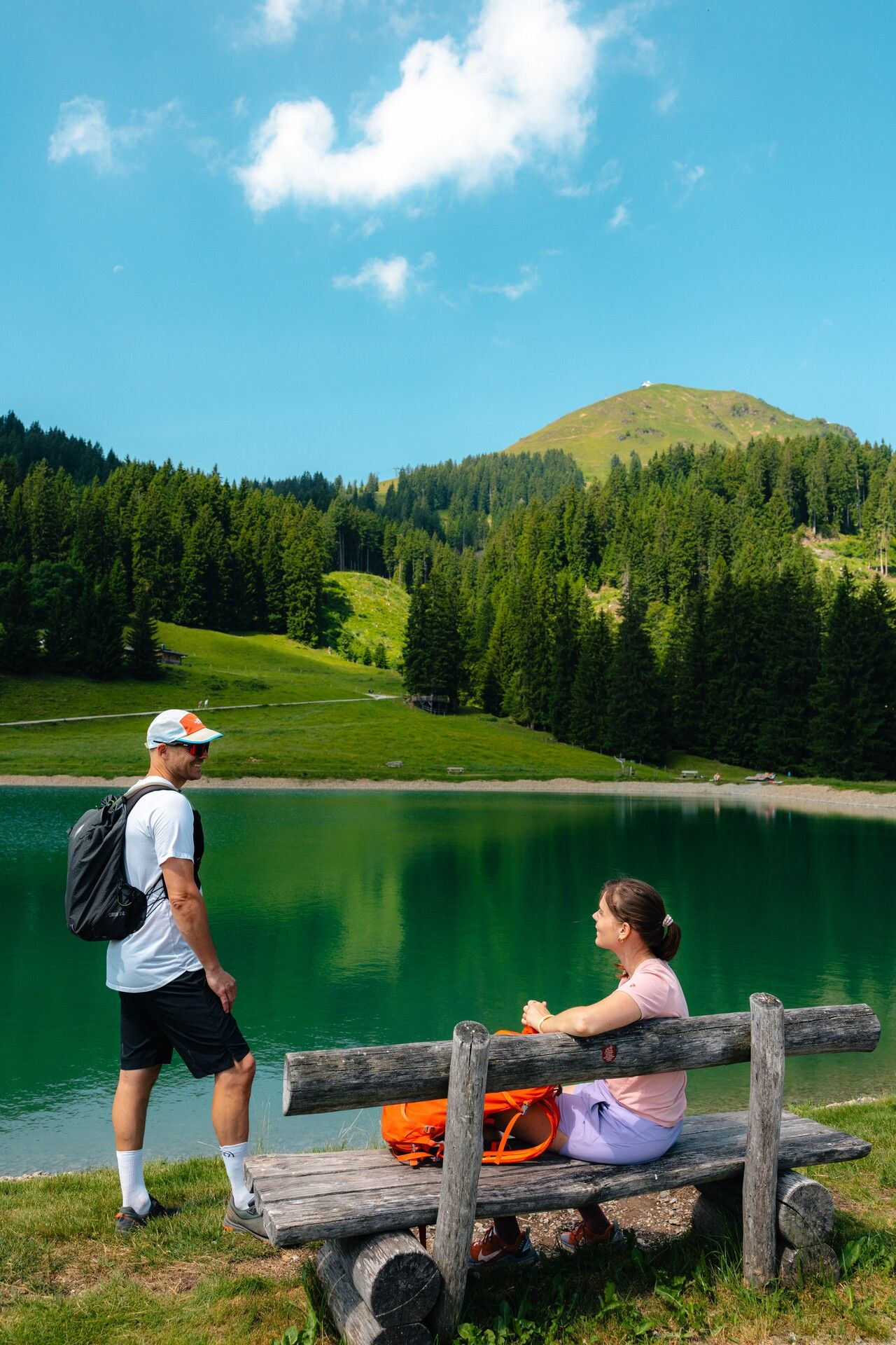
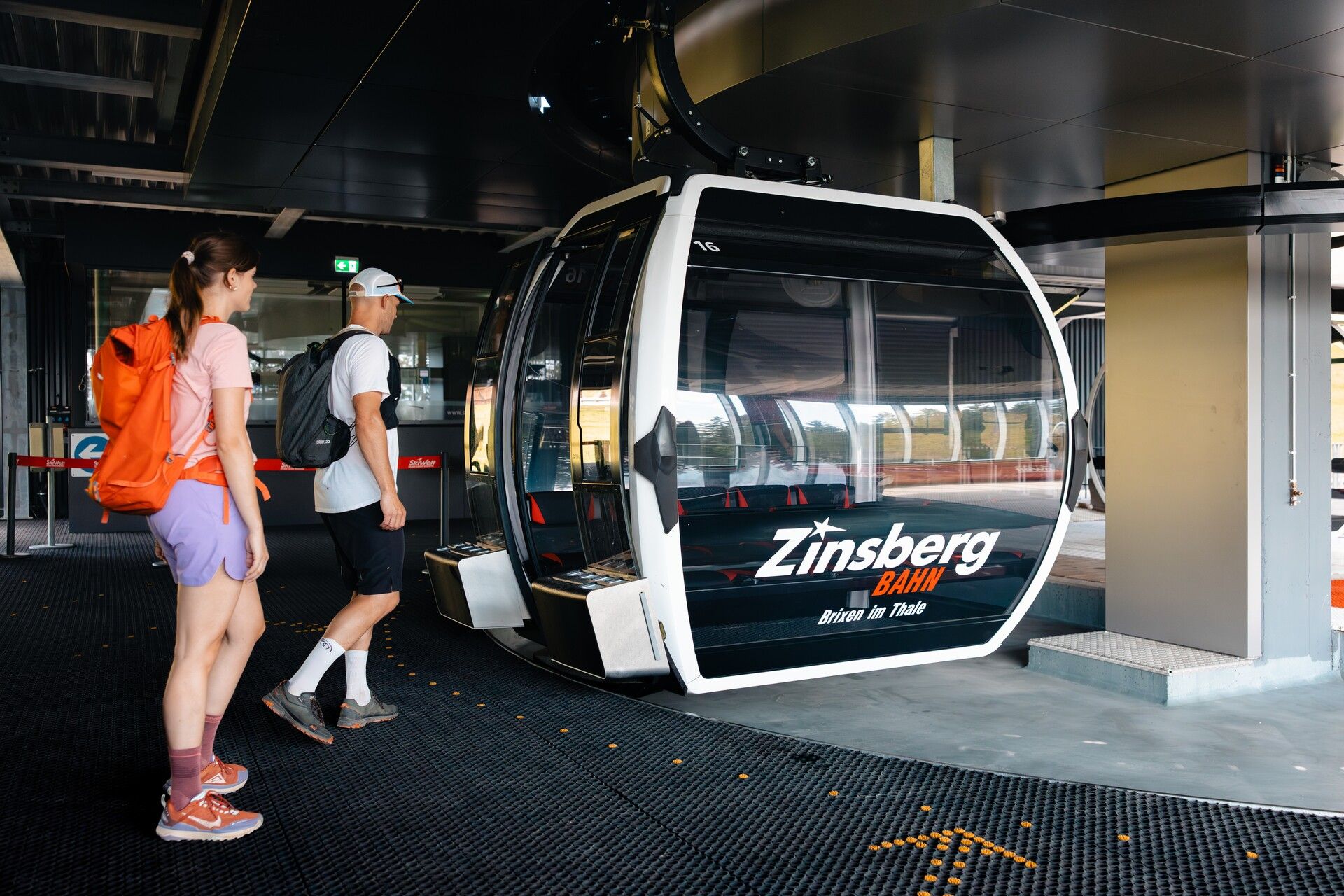
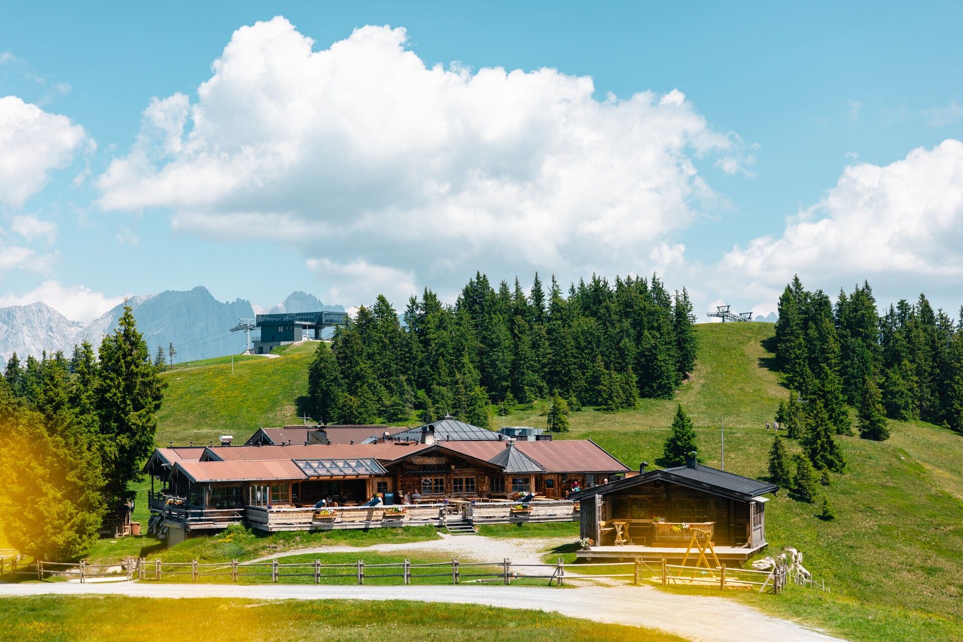
Trail no. 90 leads down in a series of switchbacks, past the Salvensee lake, the Kälbersalvenalm and the Jordankapelle chapel, continuing to the Filzalm and the Filzalmsee lake. To save a few metres of elevation, you can then take the Zinsberg lift up to the Zinsberg. From the top station, follow trail no. 99 to the Jochstubnsee lake. At the Jochstubn hut, you can stop for refreshments or relax on one of the loungers by the lake.
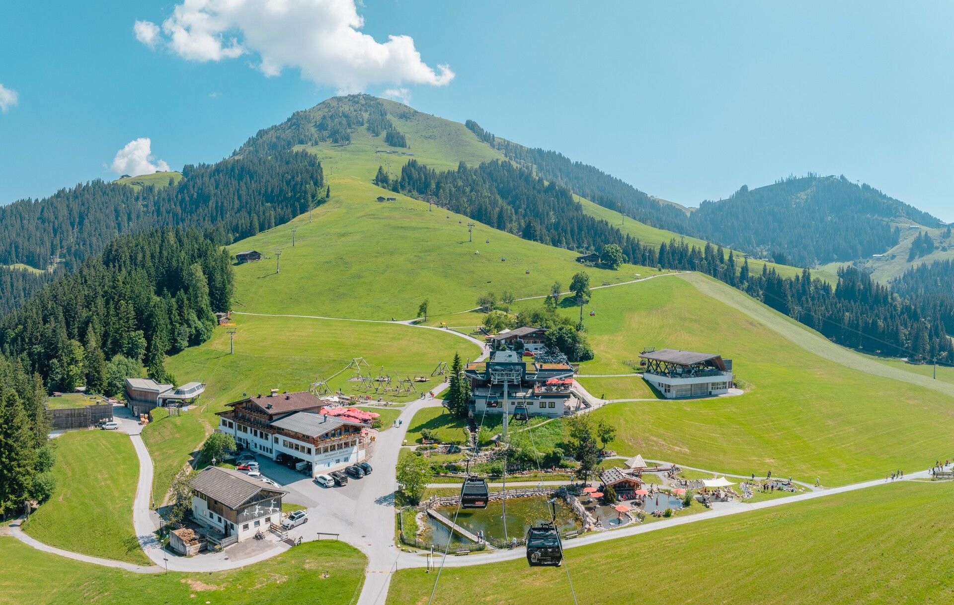
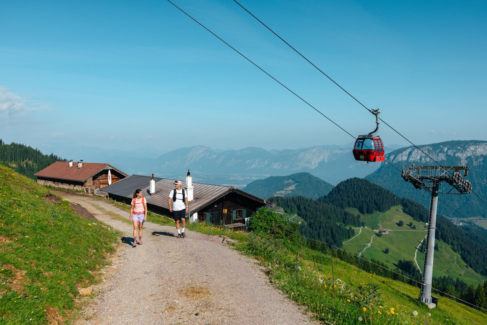
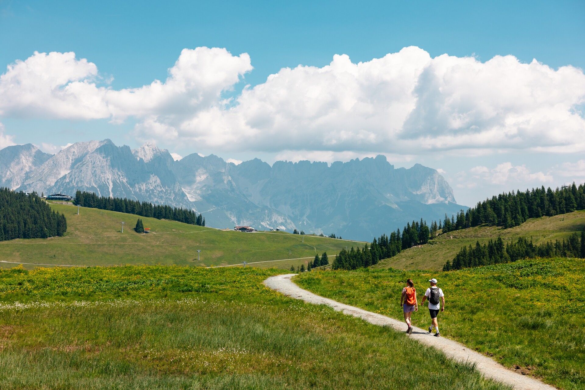
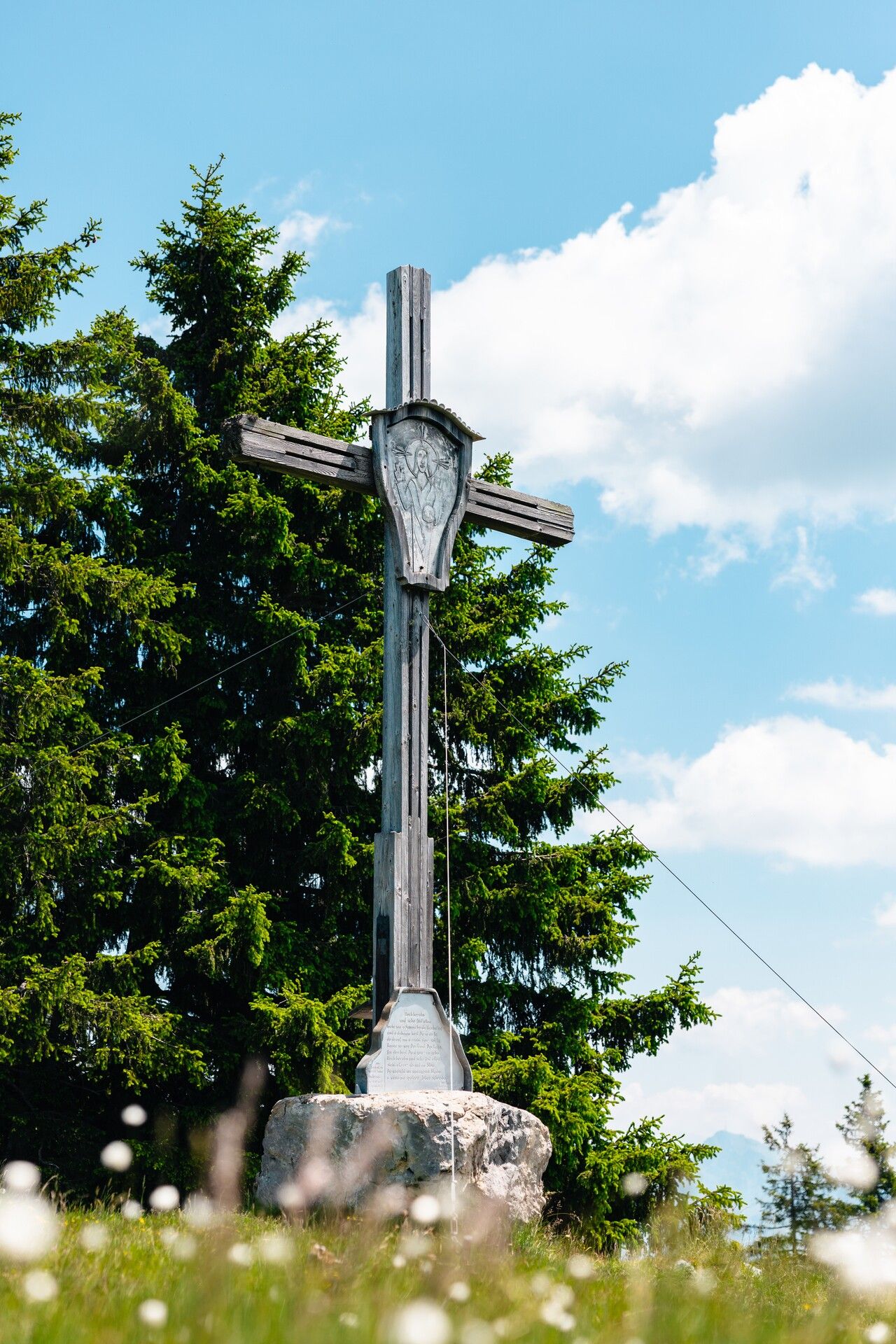
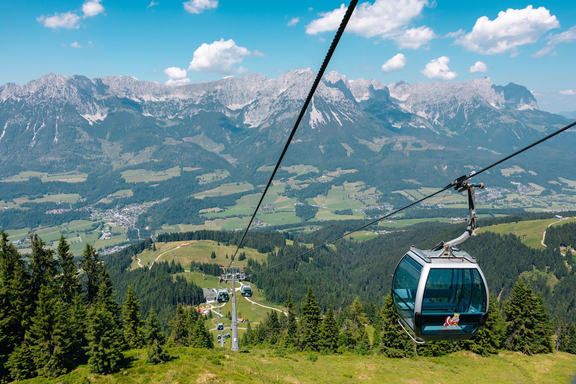
Refreshed and recharged, continue on trail no. 99 towards the Tanzbodenalm. A short detour to the Eiberg Cross is well worth it – the view of the Großvenediger from here is stunning. A narrow gravel trail leads gently downhill. At the forest road, turn left. At the major junction, follow the narrow gravel path offering spectacular views of the Wilder Kaiser. Trail no. 40 then leads through the forest to the Brandstadl. Alternatively, you can stay on the forest road to the Tanzbodenalm and continue through the Kaiserwald to the Brandstadl. From the top station of the gondola, it’s just ten minutes to the Brandstadl summit cross. After a final rest at the Brandstadl mountain inn, the Brandstadl gondola takes you comfortably back down into the valley.
Alternatives for particularly motivated hikers:
Instead of taking the cable cars for these sections, you can hike them:
Söll cable car start point – Hochsöll: approx. 1 hr 30 min
Hochbrixen – Zinsberg top station: approx. 1 hr 20 min
Brandstadl – Söll cable car start point: approx. 2 hrs 45 min
Start of the tour:
80 KaiserJet: Söll Bergbahn (Hexenwasser/Hohe Salve)
End of the tour:
80 KaiserJet: Scheffau am Wilden Kaiser Brandstadl (KaiserWelt)
More information at: www.wilderkaiser.info/mobility
Parking area cable car valley station, Söll (725 m) – free


