Hut hike Gschnitztaler Hüttenstern

Trins / Stubai Alps
Difficulty ratings: medium
Route length: 82.1 km
Duration: 2 days

Choose tour stage:

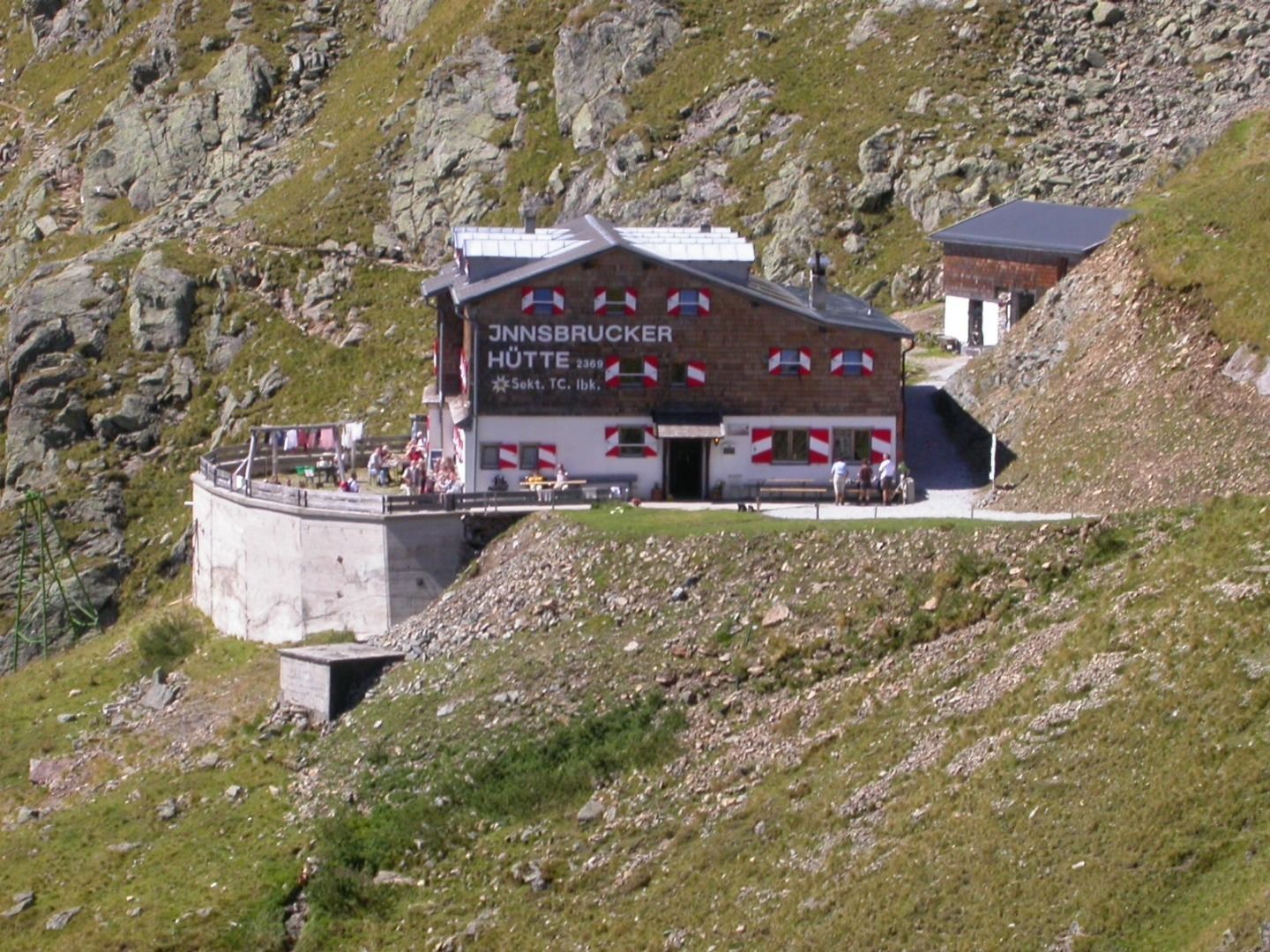
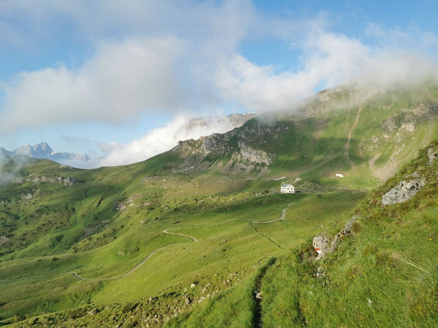
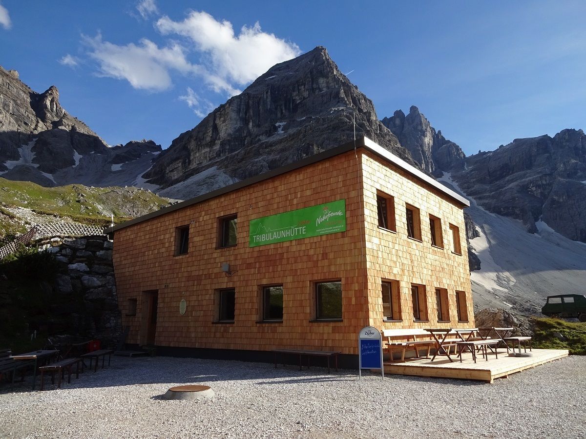
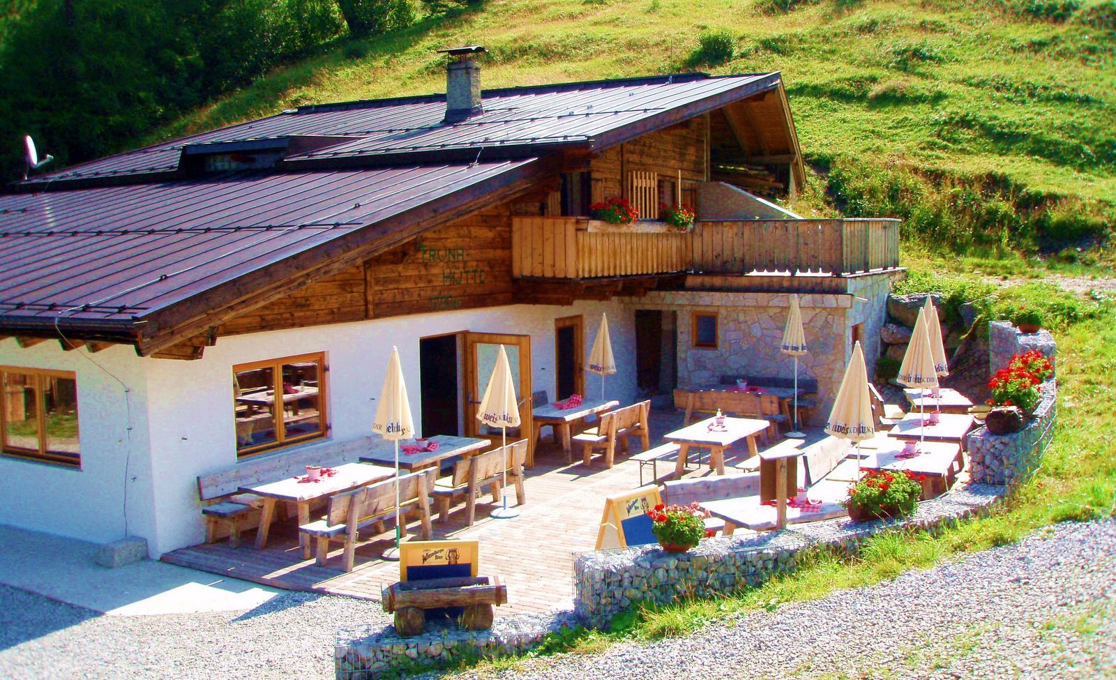
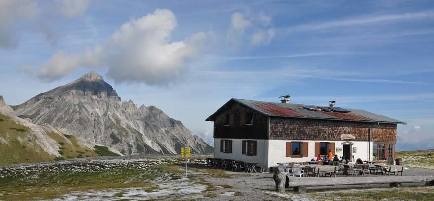
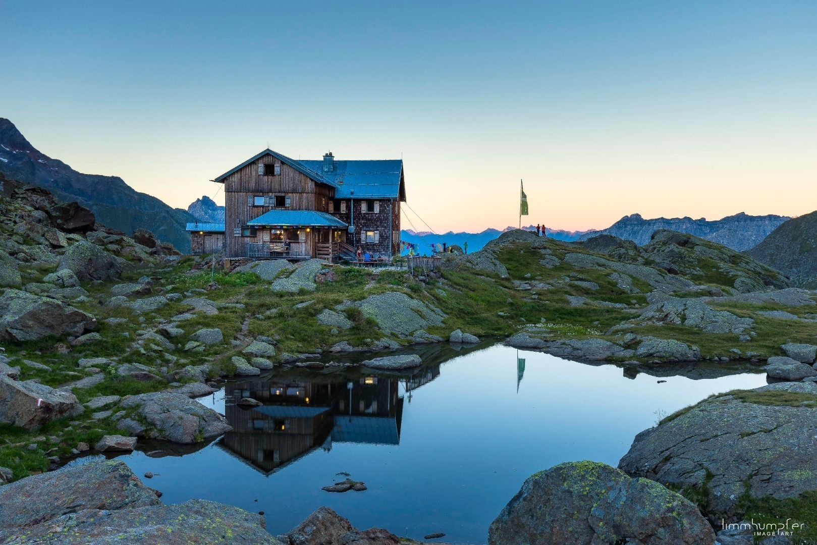
Tour Concept:Six day hikes from your lodging in the valley to staffed mountain huts;Explore the mountains, spend the night in the valley (no changing huts) – with a lightdaypack.Huts & Elevations:Trunahütte (1,750 m) Gschnitzer Tribulaunhütte (2,064 m) Bremer Hütte (2,413 m) Innsbrucker Hütte (2,369 m) Padasterjochhaus (2,232 m) Blaserhütte (2,176 m)
Tour information

  • Requirement: medium
  • Length: 82.1 km
  • Duration: 2 days
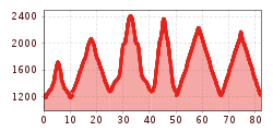
  • Elevation uphill:5,503 hm
  • Elevation downhill:5,483 hm
Highest point2,411 m
  • Fitness level 5 / 6
  • Technique 5 / 6

Features

  • Multi-day hike

Best time of year

  • January
  • February
  • March
  • April
  • May
  • June
  • July
  • August
  • September
  • October
  • November
  • December

Equipment

Sturdy shoes, walking sticks, a change of clothes, a water bottle, snacks—as much as you need, as little as possible!
Source: TVB Wipptal

Description

Mountain hut experiences,
comfort in the valley

The Gschnitztaler Hüttenstern combines the best of both worlds:
scenic day hikes to rustic huts and striking peaks, and
restful nights in your comfortable lodging in the valley. You’ll experience authentic
mountain hut life and then return relaxed to your base camp in the valley.
No changing huts, no luggage transport. Six different huts form
your personal star in the Gschnitztal. With the collection pass, you can
record your tours and secure your award. Step by step
through a mountain world that is intense at the top and offers space to unwind at the bottom. Collectible Pass & Reward:
With the Hüttenenstern Collectible Pass, you can track your hikes. Anyone who visits at least
five of the six huts can pick up an exclusive Gschnitztal Hüttenenstern T-shirt at the TVB Information Office in Steinach. Additionally,
a digital pin is available via the SummitLynx app.


Translated with DeepL.com (free version)

Nearby huts and mountain restaurants

Getting here

  • Arrival by public transport

    Take the S-Bahn (Innsbruck–Brenner) to Steinach am Brenner. From there, take regional bus 4146 “Gschnitz” to the “Trins Gemeindeamt” or “Gschnitz GH Feuerstein” stop. Use public transportation for free with the Wipptal Guest Card! For more information on the schedule, visit www.vvt.at.

  • Parking

    Parking lot Waldfest No. 04 Parking lot Gschnitz GH Feuerstein

Weather

Today

clear sky
25°C/11°C
0%0l5 km/h

Mon

mainly clear
27°C/11°C
45%2.2l5 km/h

Tue

light rain showers
25°C/14°C
70%10.7l5 km/h
Go to weather forecast

More long-distance hiking trails

  • Koasa Trail

    Difficulty:medium
    Length:83.0 kmElevation uphill:4,700 m
  • Arlberg Trail

    Difficulty:difficult
    Length:52.1 kmElevation uphill:4,730 m
  • Two day tour - Höhenweg Zahmer Kaiser

    Opening hours:open
    Difficulty:medium
    Length:30.0 kmDuration:13:15 hElevation uphill:2,100 m
  • Iseltrail

    Difficulty:medium
    Length:75.3 kmDuration:24:30 hElevation uphill:2,347 m
  • Two days tour Wilder Kaiser

    Difficulty:difficult
    Length:42.5 kmDuration:15:57 hElevation uphill:2,475 m
  • 3-day Family Tour Alpbachtal

    Difficulty:easy
    Length:18.3 kmDuration:7:00 hElevation uphill:998 m
  • Karwendel tour

    Difficulty:difficult
    Length:44.2 kmDuration:24:00 hElevation uphill:3,955 m
  • 3-day hut tour Wilder Kaiser

    Difficulty:difficult
    Length:24.6 kmDuration:14:00 hElevation uphill:2,060 m
  • Großglockner trek

    Difficulty:difficult
    Length:86.1 kmElevation uphill:7,209 m
  • Glockner Crown

    Difficulty:medium
    Length:64.2 kmDuration:31:00 hElevation uphill:4,104 m
  • Tiroler Pilgerweg

    Difficulty:medium
    Length:220.0 kmElevation uphill:1,840 m
  • EUREGIO Mary Way-M1

    Difficulty:medium
    Length:84.1 kmDuration:25:01 hElevation uphill:2,238 m
  • Carnic altitude trail

    Difficulty:medium
    Length:160.0 kmDuration:71:00 hElevation uphill:9,499 m
  • Rofan tour

    Difficulty:medium
    Length:30.5 kmDuration:16:00 hElevation uphill:1,450 m
Newsletter

The mountain is calling? So does our newsletter!

In our monthly newsletter we reveal the best holiday tips for Tyrol.