
Difficulty:medium
Length:83.0 kmElevation uphill:4,700 m
Cross-border multi-day hike from Südtirol to Osttirol
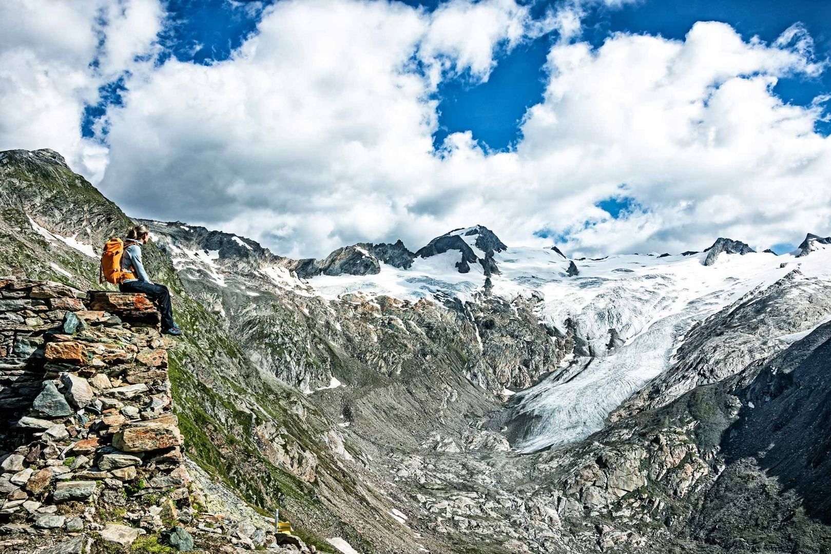
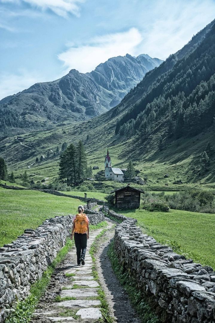

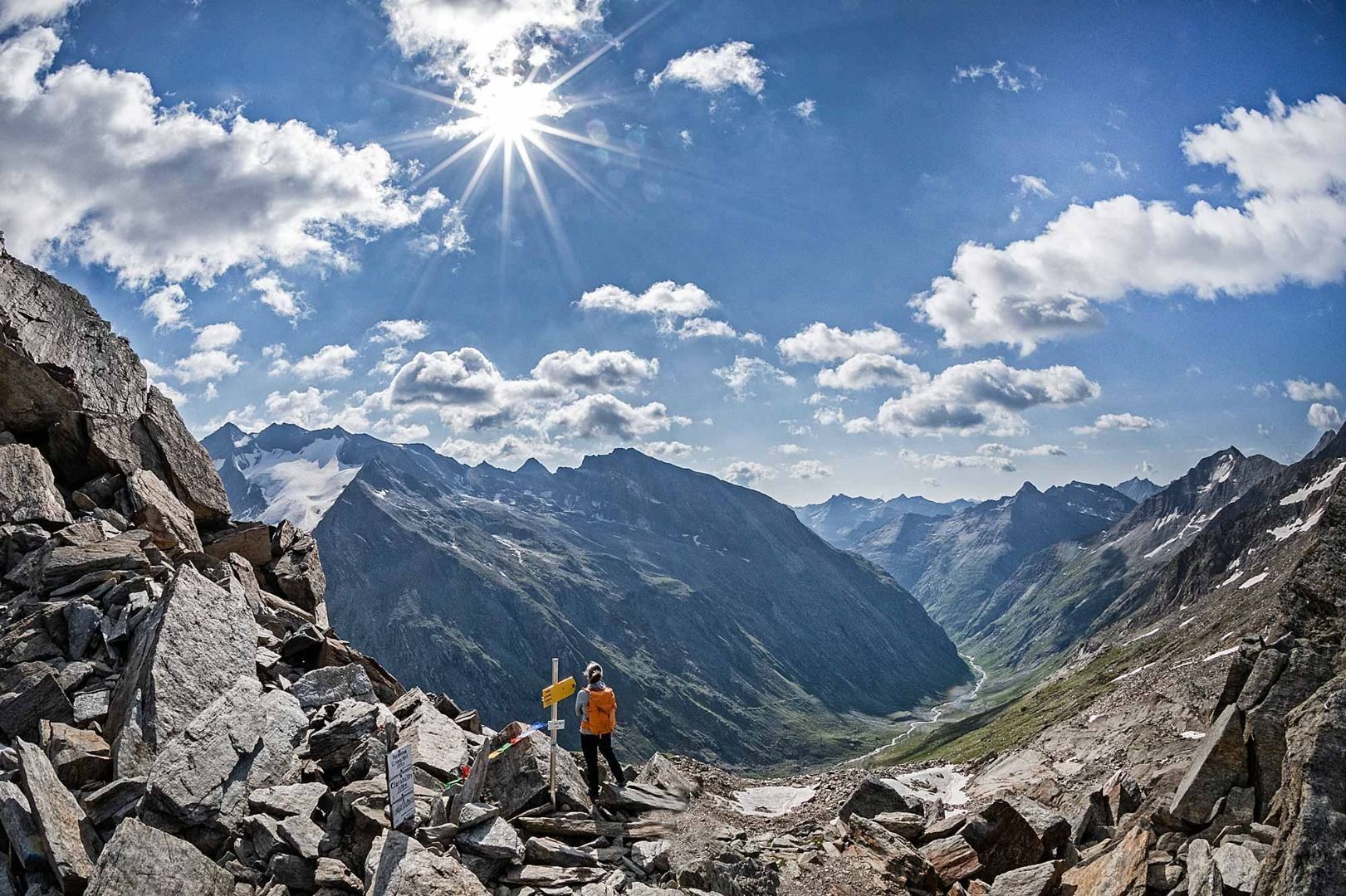

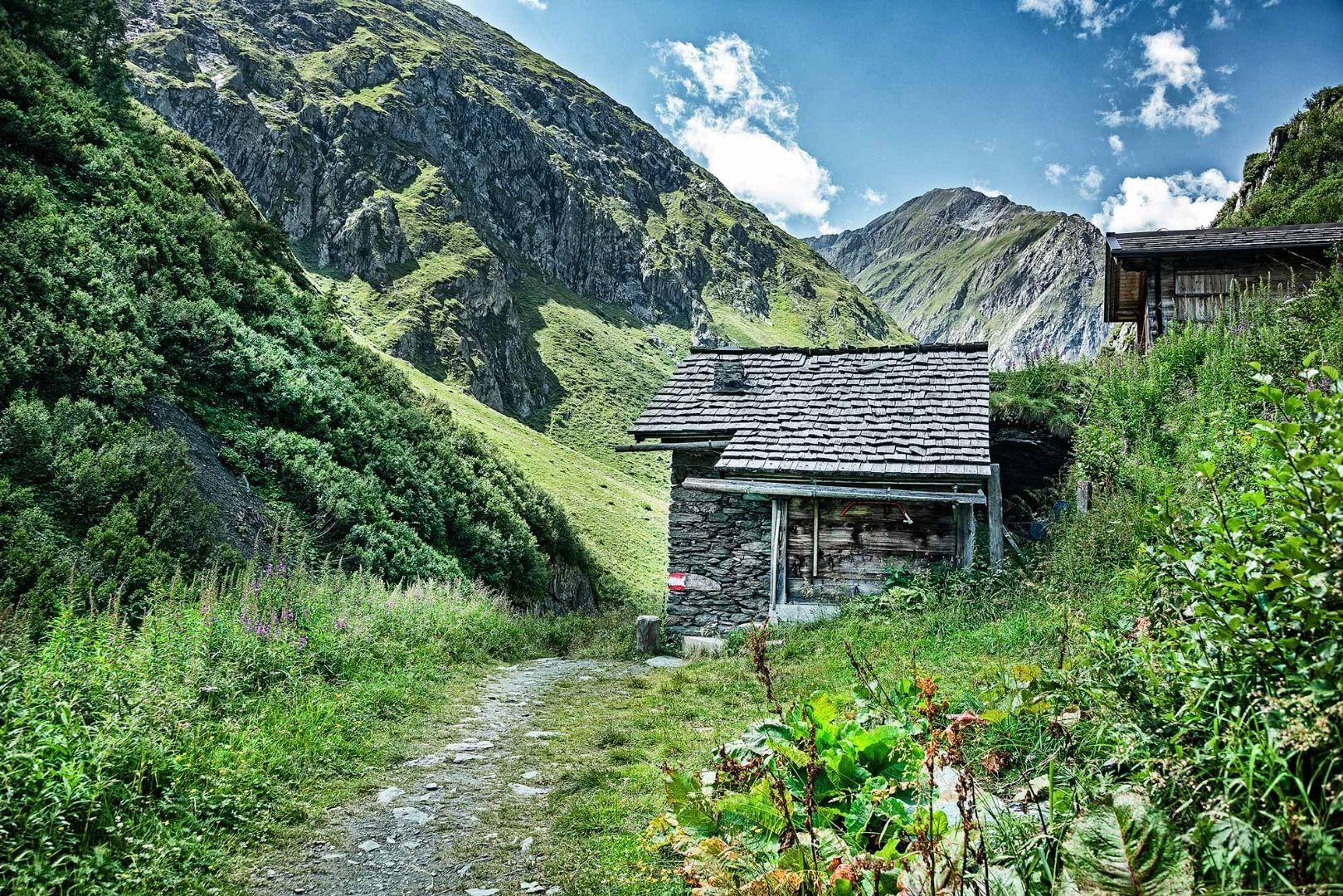
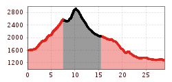
The long-distance hiking trail Hoch-Tirol-Trail connects the village of Prettau in Südtirol at the head of the Ahrntal valley with the village of Prägraten at Großvendiger in Osttirol in three stages. The trail crosses the Rieserferner-Ahrn Nature Park in Südtirol and the National Park Hohe Tauern in Osttirol. On 25 kilometres of trail, 1490 metres of ascent and 1000 metres of descent are covered.
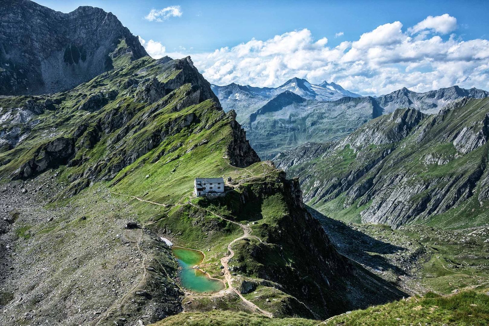
On the side of Italy, the Lenkjöchlhütte, 2,603 metres above sea level, serves as a base, while on the Austrian side, the Clarahütte - at 2038 metres above sea level - offers overnight accommodation. The hut approaches on both sides are popular hiking destinations. Between the two huts, the Hoch-Tirol-Trail leads through a quiet and wild area where you will hardly encounter any mountaineers. The journey to and from the starting and end points of the trail is by public transport.


.jpg")


