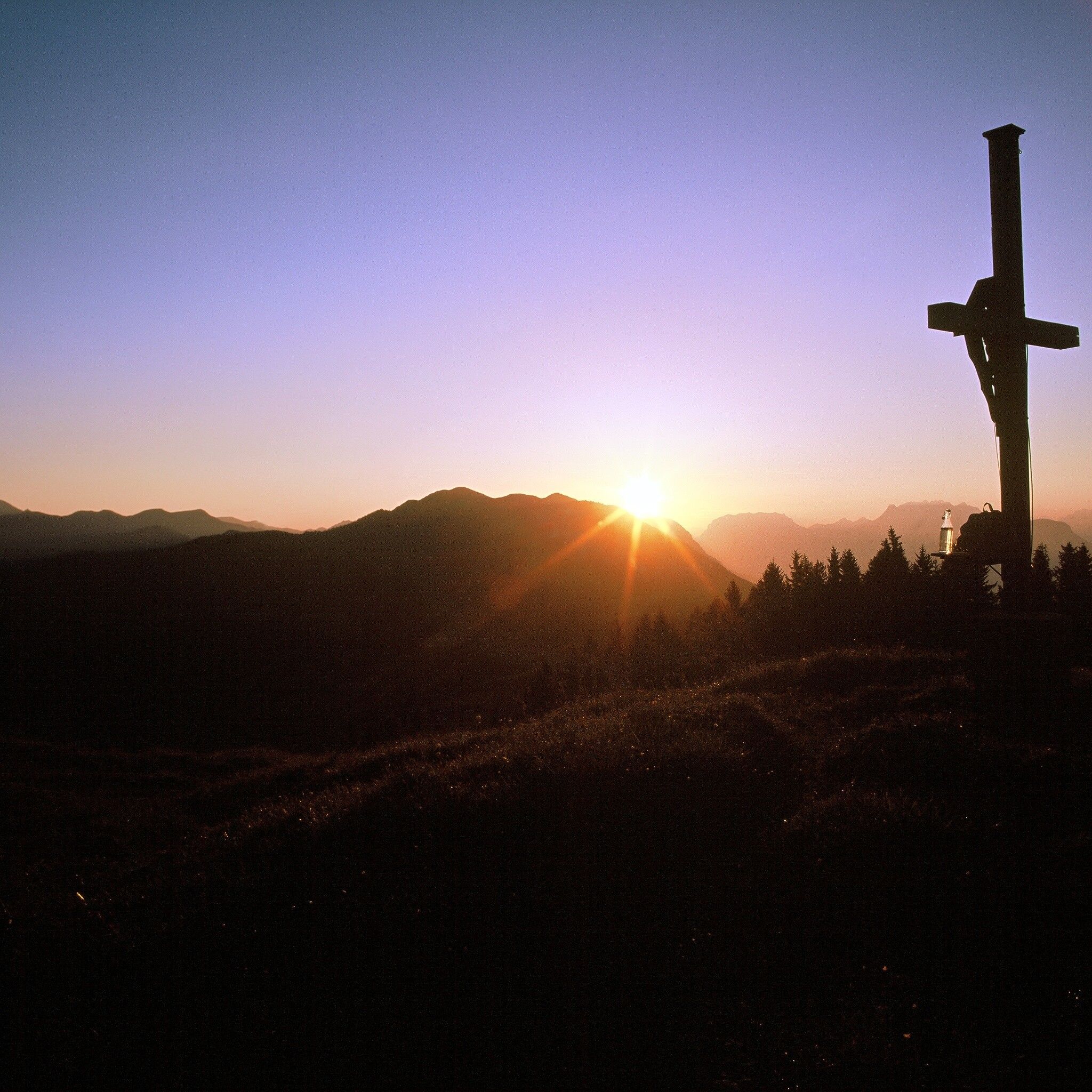
The summit cross on the Volldöpper Spitze is the intermediate destination before you reach the mountain village of Brandenberg. A scenic stage with views of the Inntal, Rofan, Kitzbühel and Stubai Alps.
Have you laced up your hiking boots and had a good breakfast? The first stage of the "4 Days 4 Summits Tour" begins with an exciting ascent from Kramsach to the Volldöpper peak at 1,509 meters, then it's downhill in beautiful nature to the stage destination Brandenberg. Five to six hours' walking time with a moderate summit is no problem for endurance hikers. Rest well though, as the following days will be even longer.
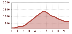
Day 1: From Kramsach over the Voldöppberg to Brandenberg --> approx. 5 - 6 h
The starting point is the lift parking lot of the former Sonnwendjoch cable car. From here, you first walk about 300 meters along the asphalt road towards Aschau until you reach the first bridge to the pilgrimage basilica "Mariathal." A perfect place to pause and enjoy the spiritual atmosphere.
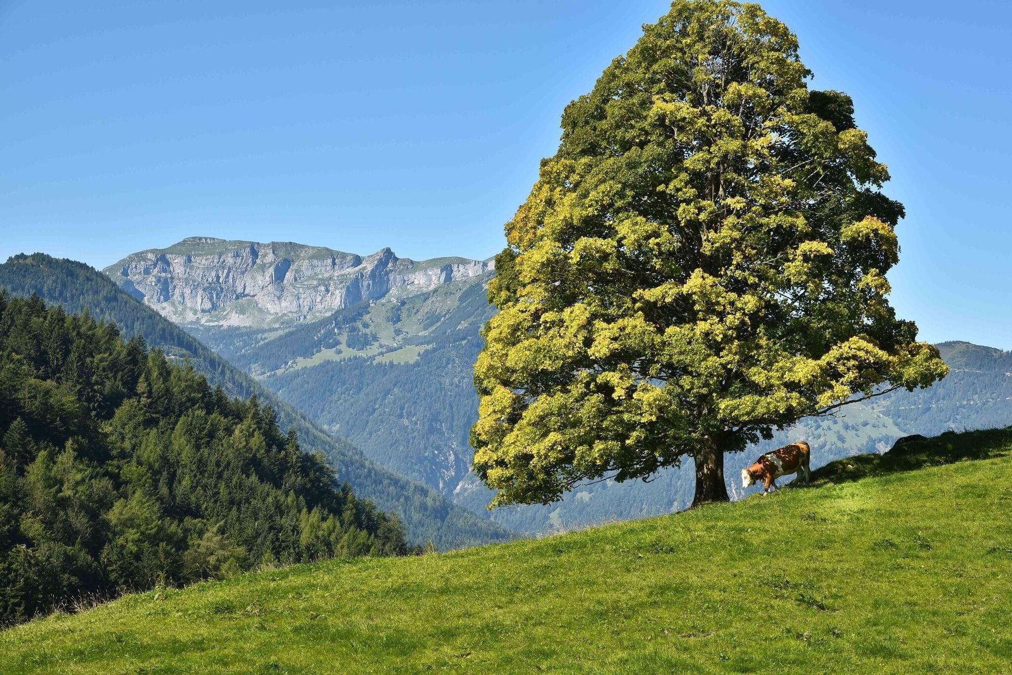
From the basilica, follow the signs "to the lakes" and take hiking trail no. 1 towards the idyllic lakes. Shortly before the Krummsee, a path branches off to the Voldöppberg, to the Voldöpper Spitze. You follow this path, ascending steeply in parts, until you finally reach the summit at 1,509 meters. The ascent takes about 3 hours and 30 minutes but rewards you with a breathtaking panoramic view.
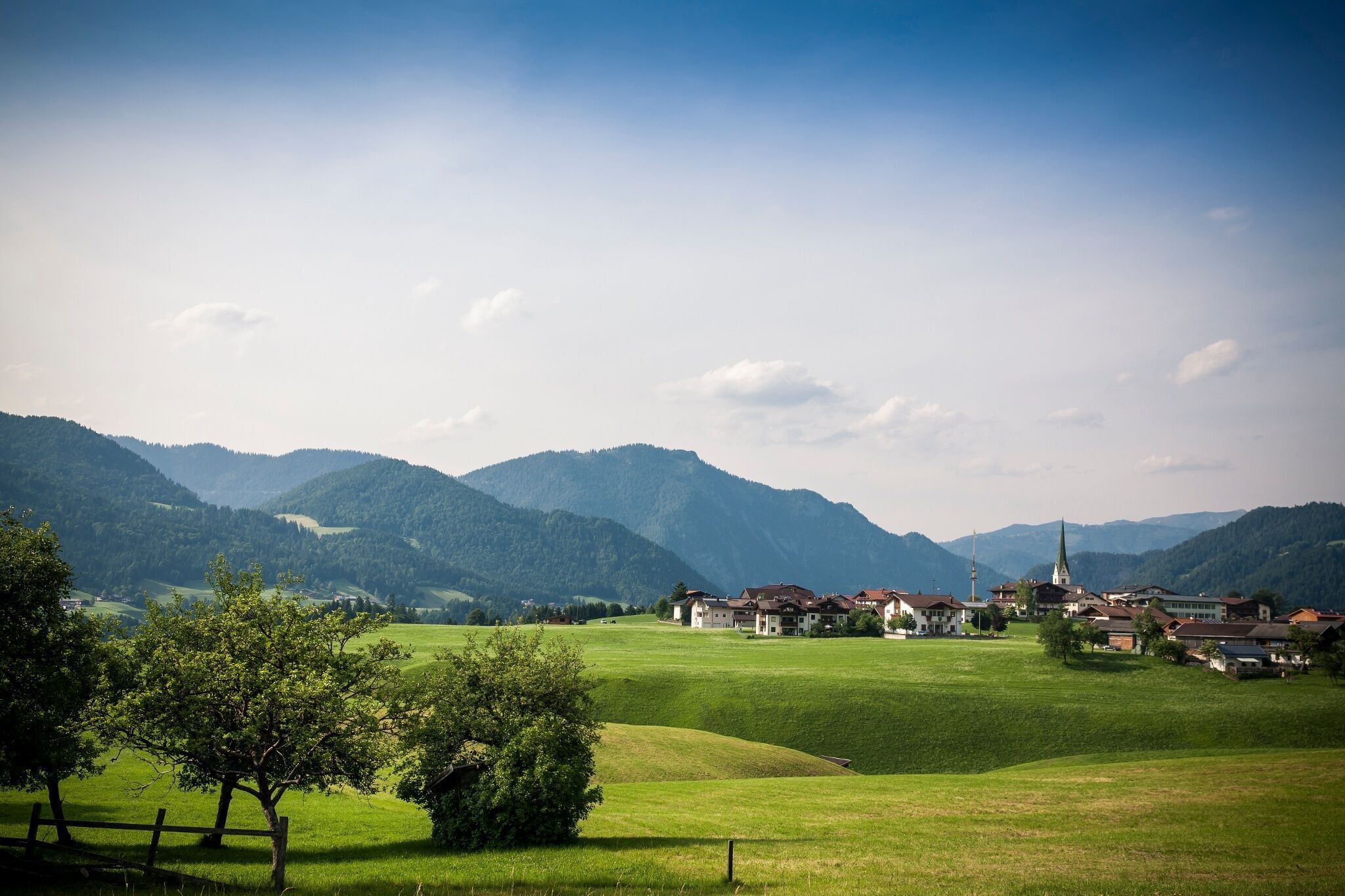
On the descent, you first walk eastwards to the shelter and then northwards, always paying attention to the signs for "Brandenberg." The path eventually leads you to the toboggan run’s end, from where it is only about 500 meters to the village center.
Once in the village center, you can comfortably end the first day of your hike. Relax, let the impressions of the day sink in, and look forward to the adventures the next days will bring.
Overnight stay:Hotel Neuwirt***
www.vvt.at Bus 603 or 611
former Sonnwendjoch cable car parking lot


.jpg")


.jpg")
.jpg")


")
