From mountaineering village to mountaineering village - stage 2

Steinberg am Rofan /
Difficulty ratings: difficult
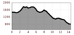
Route length: 14.6 km
Duration: 6:00 h

From mountaineering village to mountaineering village - stage 2

Tour information

  • Requirement: difficult
  • Length: 14.6 km
  • Duration: 6:00 h
  • Elevation uphill:910 hm
  • Elevation downhill:1,575 hm
Highest point1,787 m

Starting point

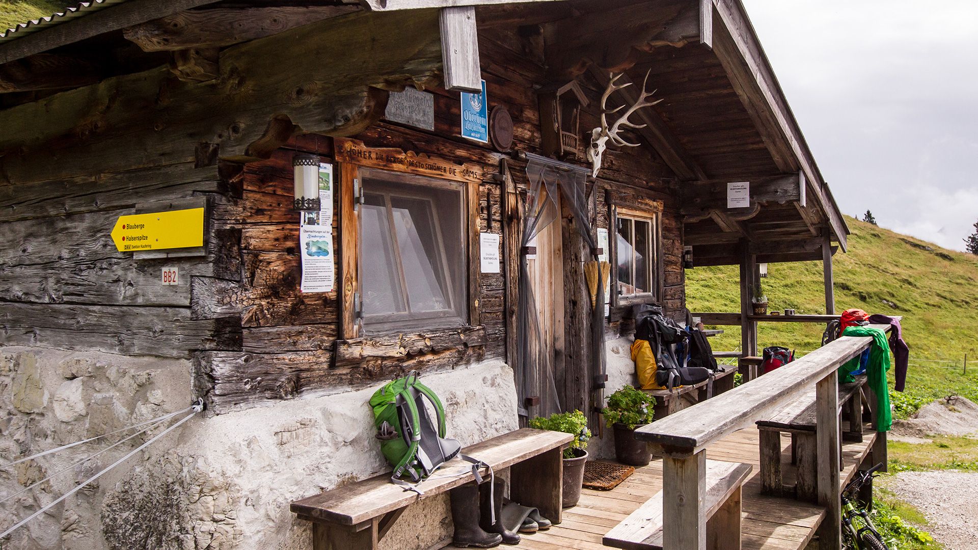
mountain hut Gufferthütte (1,475m)

Finishing point

hiking car park Kreuth - Siebenhütten at the bridge Gernbergbrücke (802m)

Features

  • Multi-day hike

Trail condition

forest path, hiking trail
Source: TVB Achensee

Description

Stage 2: 
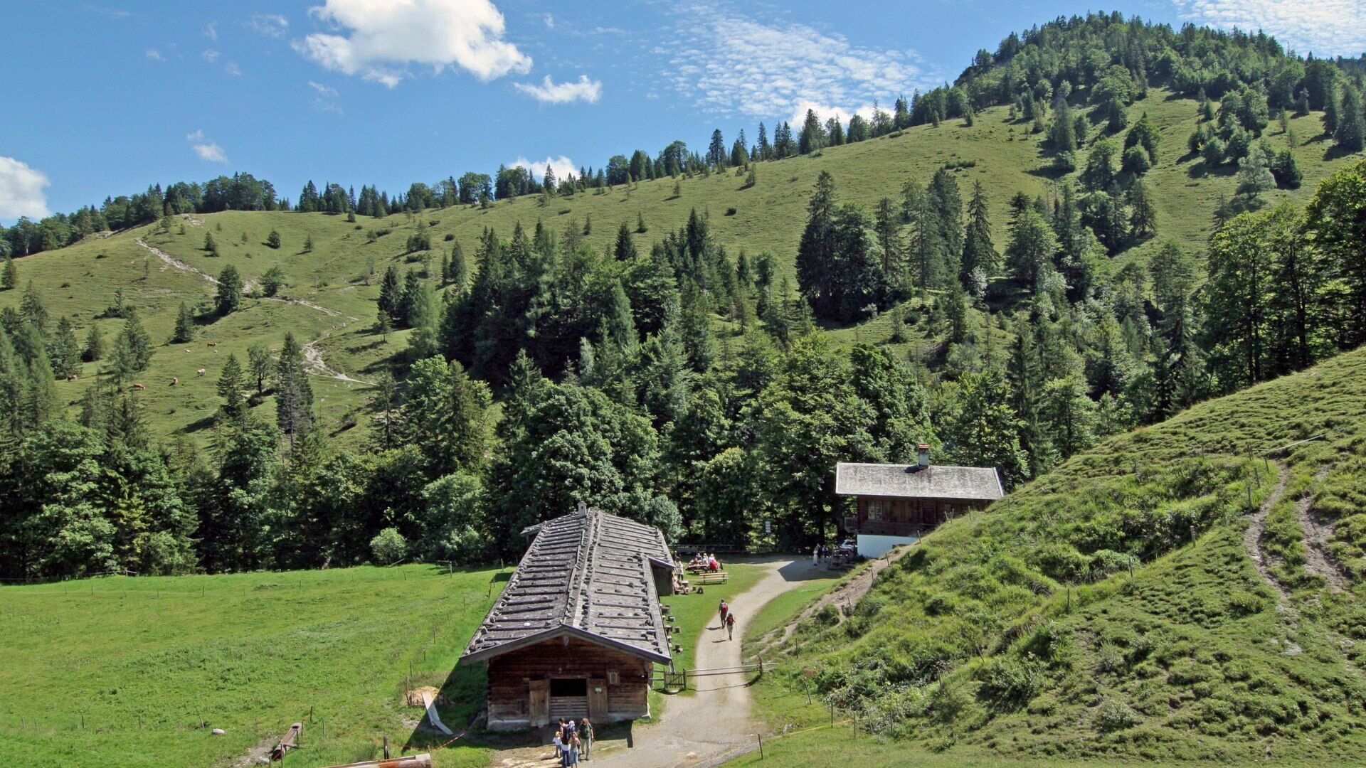
Gufferthütte - Blaubergkopf (1,787m) - Königsalm, refreshment possibility (1,115m) - Kreuth (hiking car park Kreuth - Siebenhütten at the bridge Gernbergbrücke)
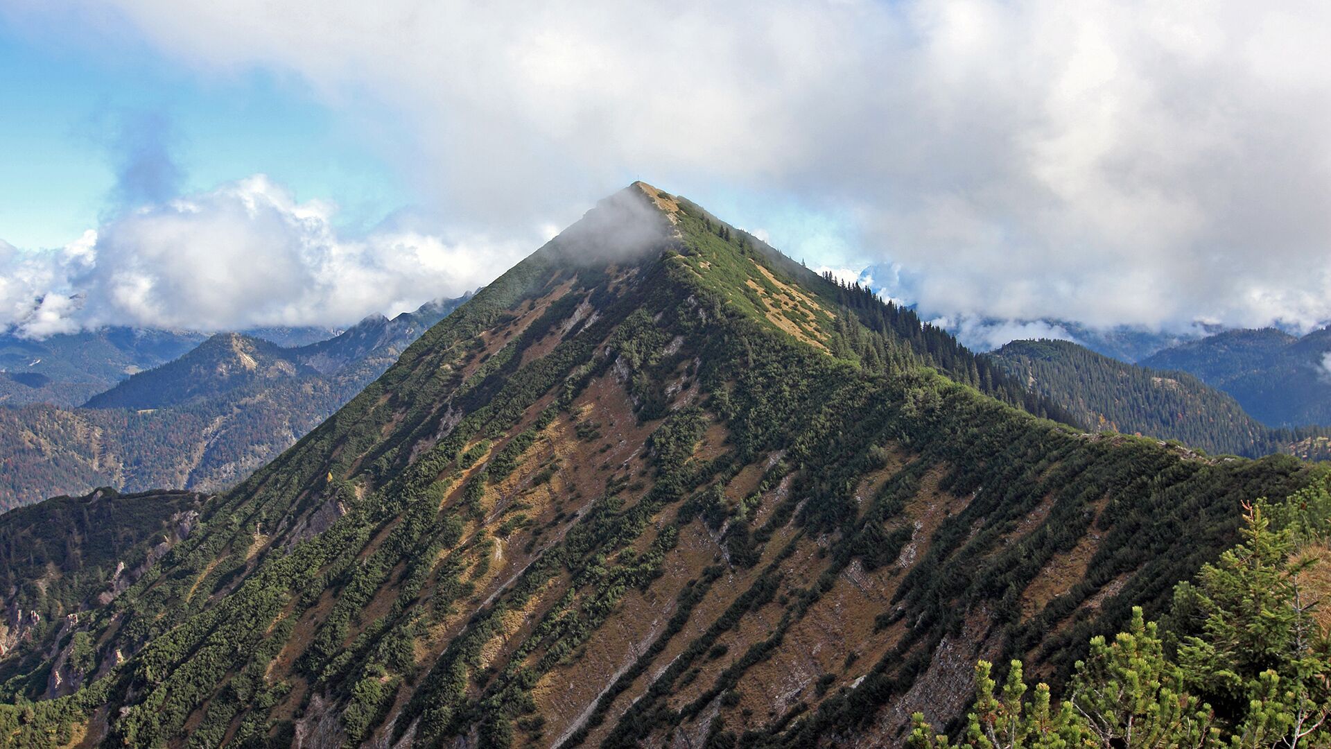
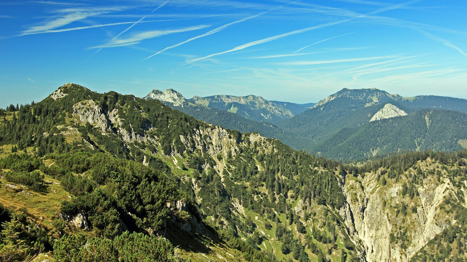
A detour to the mountain peaks Halserspitz (1,863m) and Schildenstein (1,613m), which are on the way, should also be planned. Both offer a wonderful view of the surrounding mountains.

Weather

Today

light rain showers
23°C/13°C
80%9.4l10 km/h

Mon

light rain showers
23°C/12°C
70%4.2l5 km/h

Tue

clear sky
27°C/10°C
0%0l10 km/h
Go to weather forecast

More tours in the surrounding area

Newsletter

The mountain is calling? So does our newsletter!

In our monthly newsletter we reveal the best holiday tips for Tyrol.