Hut hike Rofan tour- stage 2 - scenic tour

Eben am Achensee / Brandenberg Alps (Rofan)
Difficulty ratings: medium
Route length: 9.3 km
Duration: 3:30 h

Choose tour stage:

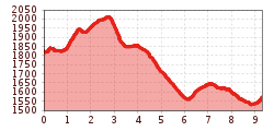
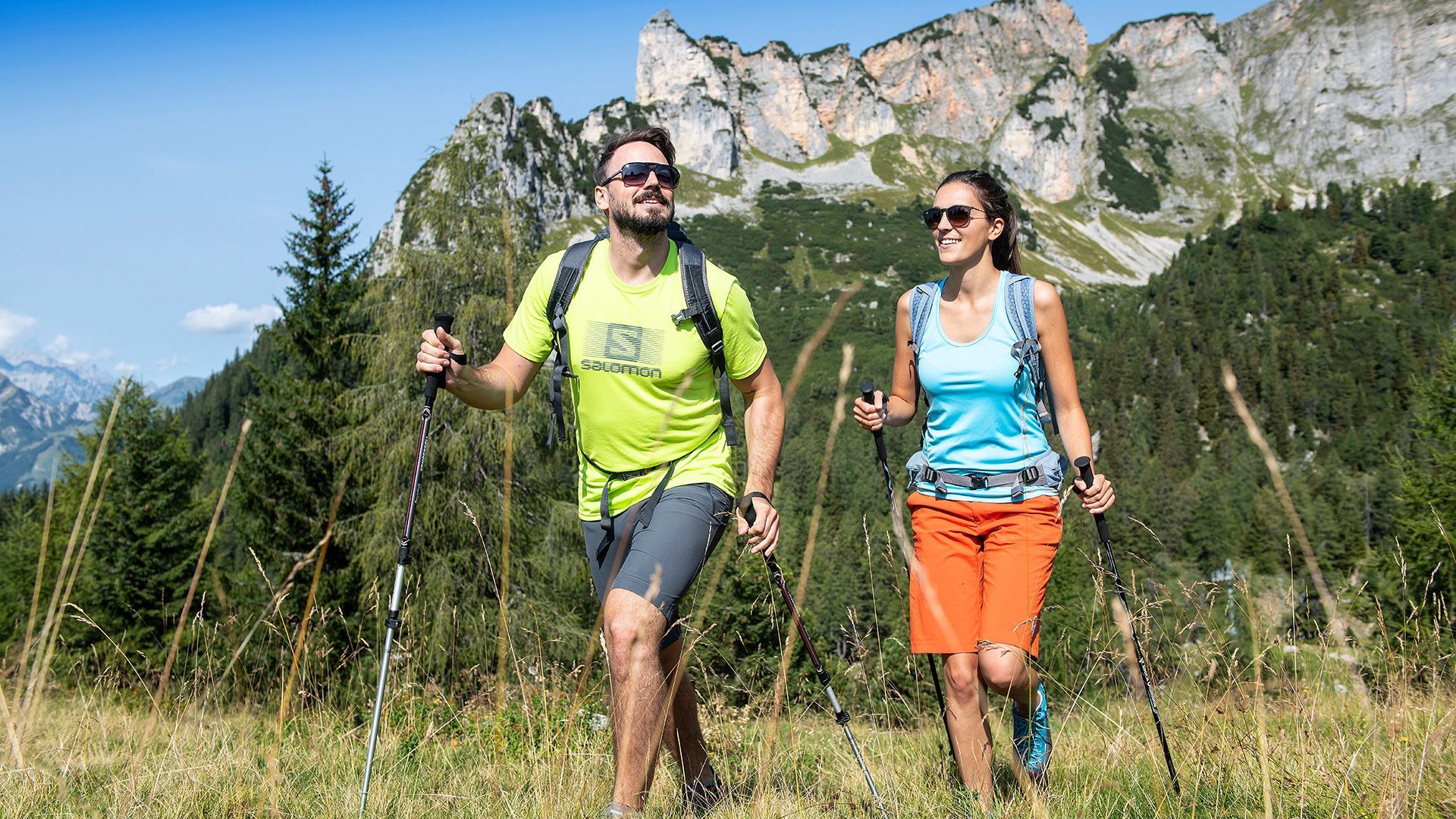
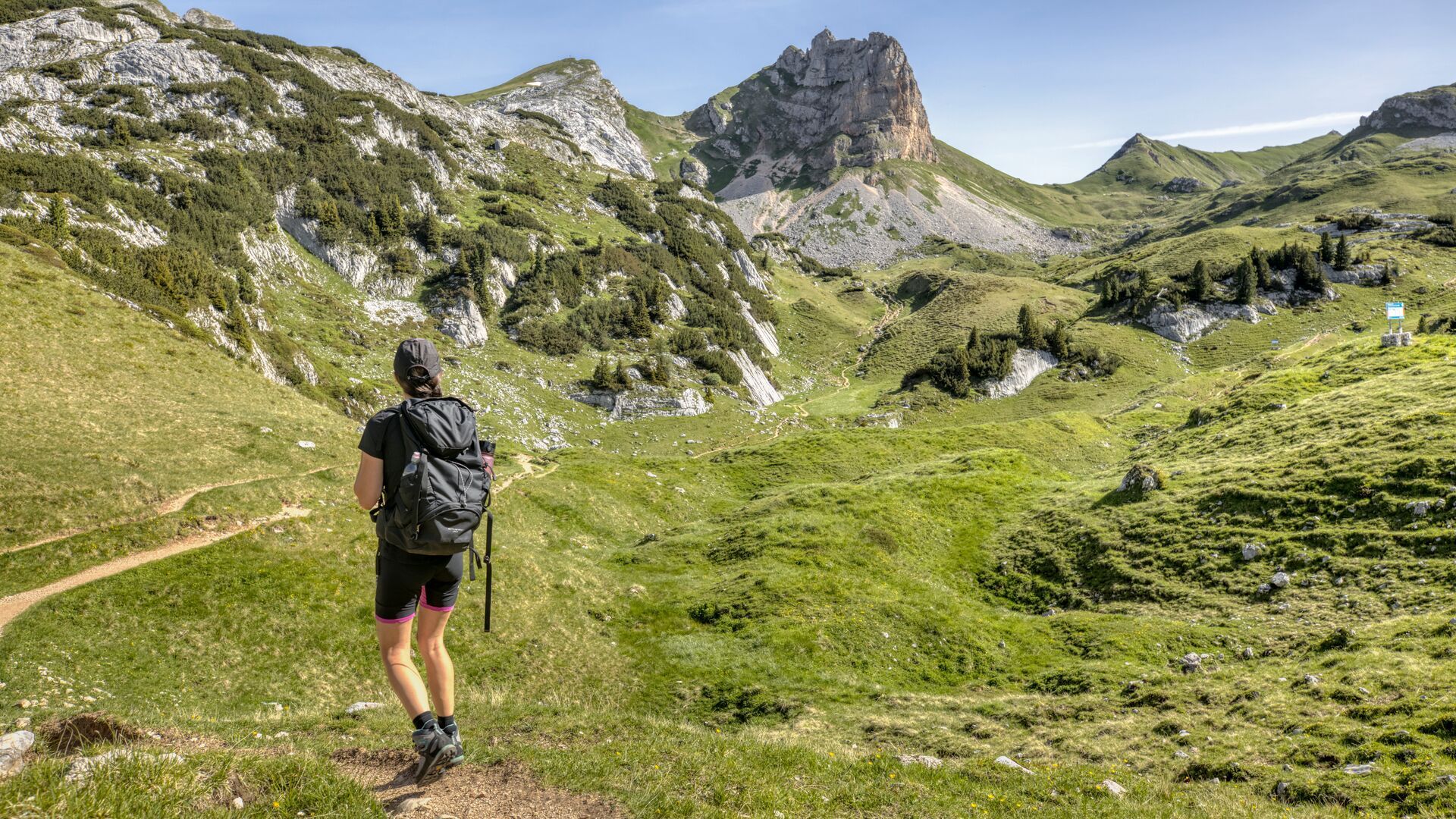
Moderate hike to the Bayreuther Hütte (9.3km, 370m elevation gain, ca. 3.5 hours). The route crosses the Krahnsattel and runs past the Schermsteinalm and Sonnwendbühelalm, offering a fantastic view of the Inntal.
Tour information

  • Requirement: medium
  • Length: 9.3 km
  • Duration: 3:30 h
  • Elevation uphill:370 hm
  • Elevation downhill:630 hm
Highest point2,015 m

Starting point

Maurach, Erfurter Hütte (1,834 metres)

Finishing point

Maurach, Bayreuther Hütte (1,560 metres)

Best time of year

  • January
  • February
  • March
  • April
  • May
  • June
  • July
  • August
  • September
  • October
  • November
  • December

Trail condition

hiking path, trail
Source: Achensee Tourismus

Description

The scenic alternative of stage 2 starts from the Erfurter Hütte (1,834 metres) with an ascent past the Mauritzalm (signpost). The path first descends slightly and then levels out until you reach the junction before the Grubastiege (signposted). From here, follow the path uphill towards Krahnsattel and from here, go downhill past the Haidachstellwand to the Schermsteinalm (1,860 metres). Follow the yellow signposts to the Sonnwendbühelalm and then to the Bayreuther Hütte (1,560 metres). Overnight stay at the hut.

Tip: Hikers with an adequate fitness level can complete stage 2 via the summit route, see icon below.

Nearby huts and mountain restaurants

  • Mauritzalm

    Opening hours:Open today
    Place:Maurach am Achensee
    :Alpine pasture / hut / mountain restaurant:Breakfast
  • Erfurter Hütte

    Opening hours:Open today
    Place:Maurach am Achensee
    :Alpine pasture / hut / mountain restaurant

Weather

Today

clear sky
20°C/4°C
0%0l5 km/h

Sat

mainly clear
16°C/5°C
55%1.3l5 km/h

Sun

partly Cloudy
15°C/6°C
5%0l10 km/h

More tours in the surrounding area

  • Dalfaz Alm

    Difficulty:medium
    Length:10.5 kmDuration:4:30 hElevation uphill:840 m
  • Gramai Alm - Gramai Hochleger - Sonnjoch - Gramai Alm

    Difficulty:difficult
    Length:10.8 kmDuration:6:30 hElevation uphill:1,200 m
  • Rofan tour - stage 1

    Difficulty:medium
    Length:5.0 kmDuration:2:00 hElevation uphill:840 m
  • Rofan tour - stage 4

    Difficulty:medium
    Length:4.1 kmDuration:1:45 h
  • Rofan tour - stage 2 - alternative summit route

    Difficulty:difficult
    Length:8.7 kmDuration:5:00 hElevation uphill:670 m
  • Rofan tour

    Difficulty:medium
    Length:30.5 kmDuration:4 daysElevation uphill:1,450 m
  • Bärenkopf

    Difficulty:medium
    Length:16.3 kmDuration:6:15 hElevation uphill:1,065 m
  • Dalfazer Falls

    Difficulty:medium
    Length:9.2 kmDuration:4:00 hElevation uphill:760 m
  • Eben - Astenau Alpe - Eben

    Difficulty:medium
    Length:4.5 kmDuration:2:15 hElevation uphill:505 m
  • Steinberg - Panoramarunde

    Difficulty:easy
    Length:6.1 kmDuration:2:00 hElevation uphill:200 m
  • Bärenwald circuit

    Difficulty:easy
    Length:4.9 kmDuration:1:30 hElevation uphill:170 m
  • Eagle Walk Stage 07: Jausenstation Waldhäusl - Erfurter Hütte

    Difficulty:difficult
    Length:18.0 kmDuration:8:00 hElevation uphill:1,590 m
  • Maurach - Pertisau - Maurach

    Difficulty:easy
    Length:9.6 kmDuration:3:00 hElevation uphill:40 m
  • Eben - Astenau Alpe - Ebner Joch - Eben

    Difficulty:medium
    Length:7.6 kmDuration:4:30 hElevation uphill:970 m
  • Guffert

    Difficulty:difficult
    Length:10.3 kmDuration:6:30 hElevation uphill:1,195 m
Newsletter

The mountain is calling? So does our newsletter!

In our monthly newsletter we reveal the best holiday tips for Tyrol.