Long-distance hike Rofan tour - stage 3

closed
Münster / Brandenberger Alpen (Rofan)
Difficulty ratings: difficult
Route length: 11.8 km
Duration: 7:30 h

Stage 3 is a challenging route across the Rofan mountains from the Bayreuther Hütte to the Dalfaz Alm. The route passes Marchgatterl, Schafsteig, Spieljoch, Hochiss, and Steinernes Tor.

Tour information

  • Requirement: difficult
  • Length: 11.8 km
  • Duration: 7:30 h
  • Elevation uphill:1,150 hm
  • Elevation downhill:1,020 hm
Highest point2,291 m

Starting point

Maurach, Bayreuther Hütte (1,560 metres)

Finishing point

Maurach, Bayreuther Hütte (1,693 metres)
  • Fitness level 5 / 6
  • Technique 4 / 6

Best time of year

  • January
  • February
  • March
  • April
  • May
  • June
  • July
  • August
  • September
  • October
  • November
  • December

Trail condition

hiking trail, steel rope secured sections
Source: Alpbachtal

Description

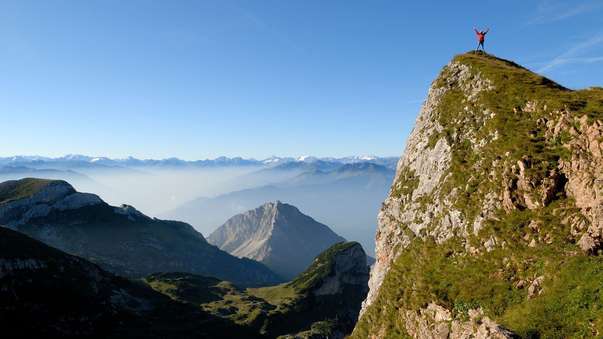
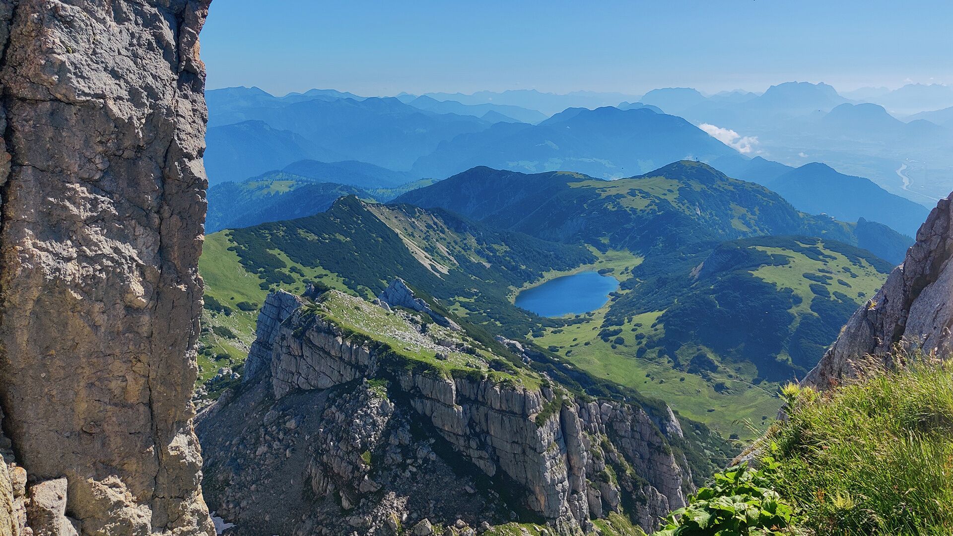
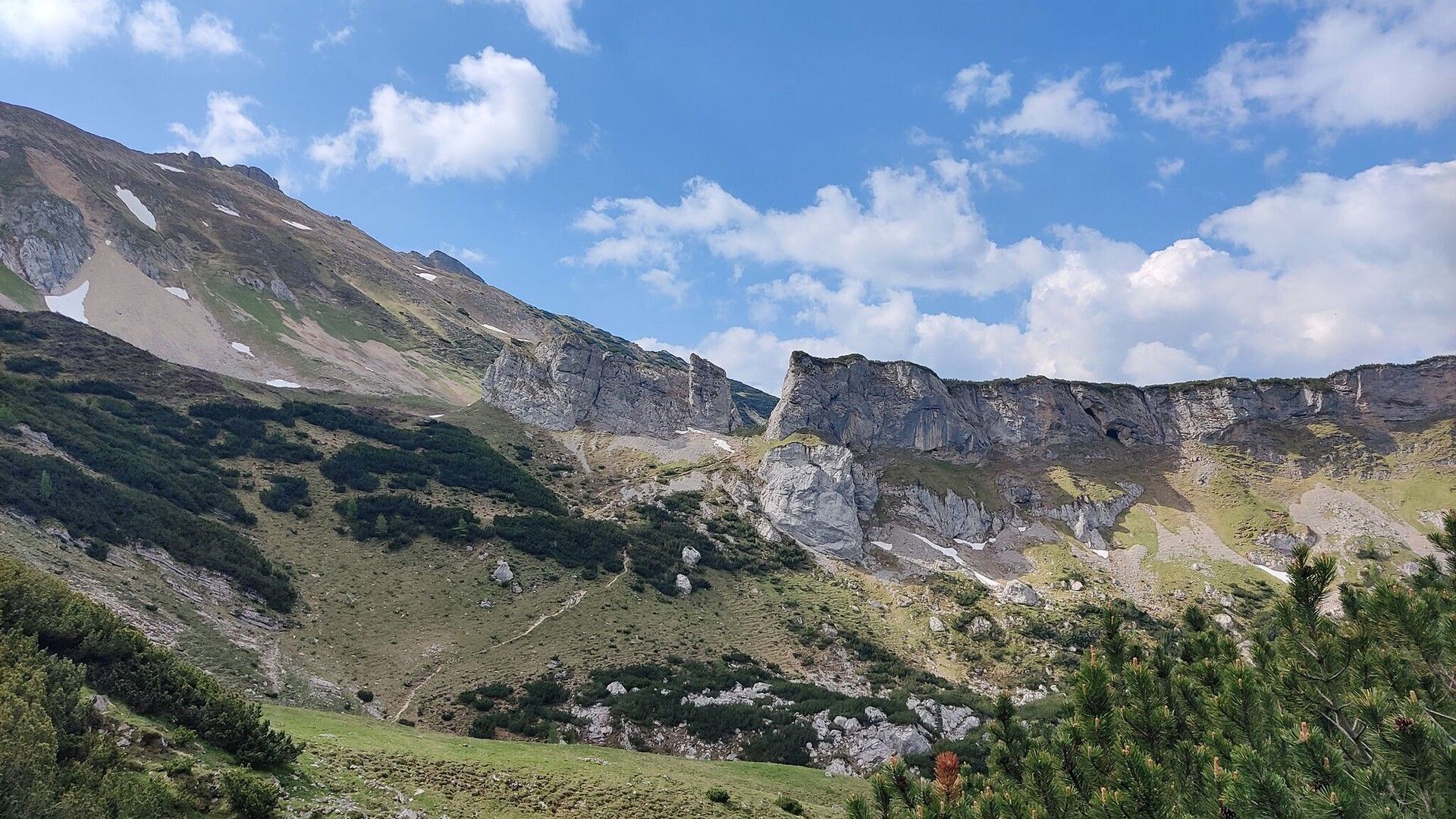
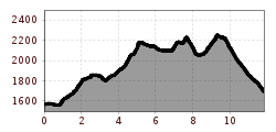
On stage 3, you hike from the Bayreuther Hütte to the Marchgatterl, from here you have a good view of the lake Zireiner See, where you can take a break after a short descent. From the Marchgatterl, continue along the steep and narrow Schafsteig, which is secured with a steel cable, to the Schafsteigsattel. Walk across the Rofanspitze on the grassy south side until you reach the Grubascharte. From here, follow the signs to the Spieljoch. The ascent over the southern ridge to the summit is secured with a steel cable. After the Spieljoch, the route leads to the summit of the 2,299-metre-high Hochiss. From the ridge, follow the yellow signposts and traverse in a westerly direction on a narrow path under the southern precipices of the Hochiss (past the via ferrata entrance). 
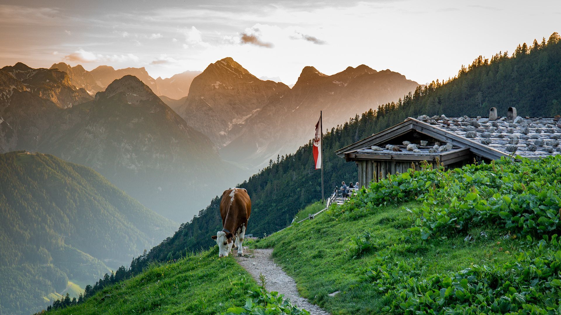
Follow the trail as it climbs steeply over rocky and partly secured terrain. On the grassy south-western slope, turn right in an easterly direction and climb to the Hochiss summit cross. The descent is via the Streichkopf (2,243 metres), past the Steinerne Tor to the Dalfaz Alm (1,693 metres, Enzianweg). Overnight stay at the Dalfaz Alm.

Nearby huts and mountain restaurants

  • Dalfaz Alm

    Opening hours: closed
    Place: Maurach am Achensee
    : Alpine pasture / hut / mountain restaurant : Breakfast, vegetarian

More tours in the surrounding area

  • 3-day Family Tour Alpbachtal

    Difficulty: easy
    Length: 18.3 km Duration: 7:00 h Elevation uphill: 998 m
  • Voldöpper Spitze Loop Hike

    Difficulty: medium
    Length: 12.9 km Duration: 5:00 h Elevation uphill: 988 m
  • Farmkehralm 1.521 m

    Difficulty: medium
    Length: 9.3 km Duration: 3:30 h Elevation uphill: 506 m
  • Wiedersberger Horn Panorama Path

    Difficulty: easy
    Length: 4.1 km Duration: 1:30 h Elevation uphill: 195 m
  • Barrier-free path Lake Reintal

    Difficulty: easy
    Length: 6.5 km Duration: 1:45 h Elevation uphill: 15 m
  • 3-peak-tour Kienberg-Plessenberg-Heuberg

    Difficulty: medium
    Length: 8.6 km Duration: 4:30 h Elevation uphill: 779 m
  • Discovering the Tiefenbach Gorge Hike

    Opening hours: closed
    Difficulty: medium
    Length: 5.7 km Duration: 3:30 h Elevation uphill: 669 m
  • Loop tour Juppi Zauberwald

    Difficulty: easy
    Length: 2.5 km Duration: 1:00 h Elevation uphill: 93 m
  • Day 1: 4 days - 4 summits tour

    Difficulty: medium
    Length: 9.8 km Duration: 5:00 h Elevation uphill: 984 m
  • Kaiser Gorge - loop trail

    Opening hours: closed
    Difficulty: easy
    Length: 4.2 km Duration: 1:00 h Elevation uphill: 198 m
  • Kundler Klamm

    Opening hours: closed
    Difficulty: easy
    Length: 6.4 km Duration: 2:00 h Elevation uphill: 116 m
  • Day 3: 4 days - 4 summits tour

    Difficulty: medium
    Length: 19.3 km Duration: 8:00 h Elevation uphill: 1,371 m
  • 4 days - 4 summits tour

    Difficulty: medium
    Length: 54.4 km Duration: 23:00 h Elevation uphill: 3,408 m
Newsletter

The mountain is calling? So does our newsletter!

In our monthly newsletter we reveal the best holiday tips for Tyrol.