
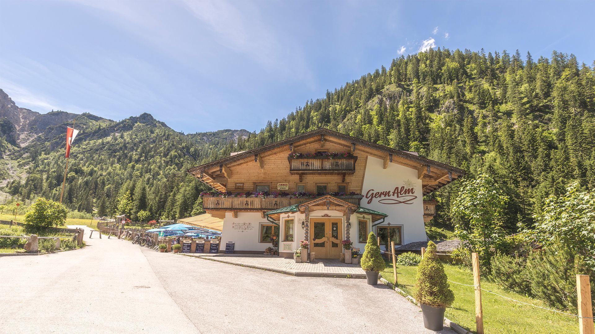
Opening hours:Open today
Place:Pertisau am Achensee
:Restaurant, Alpine pasture / hut / mountain restaurant:vegetarian
Challenging traverse of the Montscheinspitze (2,106m): a rewarding day hike featuring some scrambling, sweeping views, and true alpine character - suitable for experienced hikers.


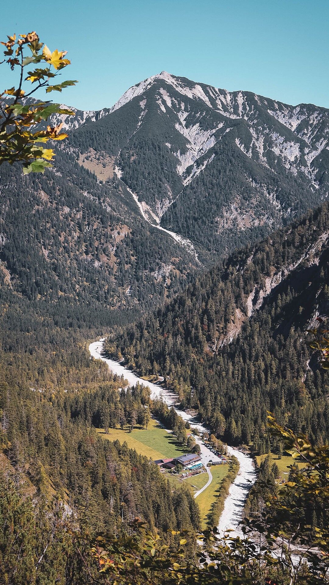


The hike starts at the Gern Alm (1,172 metres) and leads first to the Plumssattel. From here, a short detour of around 10 minutes leads to the Plumsjoch Hut. The route then continues to the Plumsjoch. The ascent is very steep, crossing the mountainside to the ridge and continuing to the summit (2,106 metres). Some sections are exposed and short scrambling passages require the use of hands. The descent leads via the Schleimssattel. A steep path with several switchbacks leads back into the Gerntal valley and finally to the starting point at the Gern Alm. Note: Sure-footedness and a head for heights are required for this alpine hike. The route can be walked in either direction.
Car park of the Gern Alm (free of charge)


")
.jpg")
")
.jpg")
.jpg")
.jpg")


")
.jpg")
.jpg")


.jpg")

