
Opening hours:Open today
Place:Maurach am Achensee
:Restaurant
Eben - Astenau Alpe - Ebner Joch - Eben
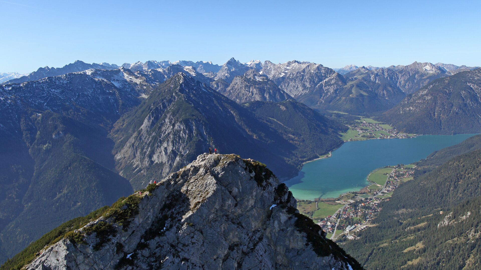
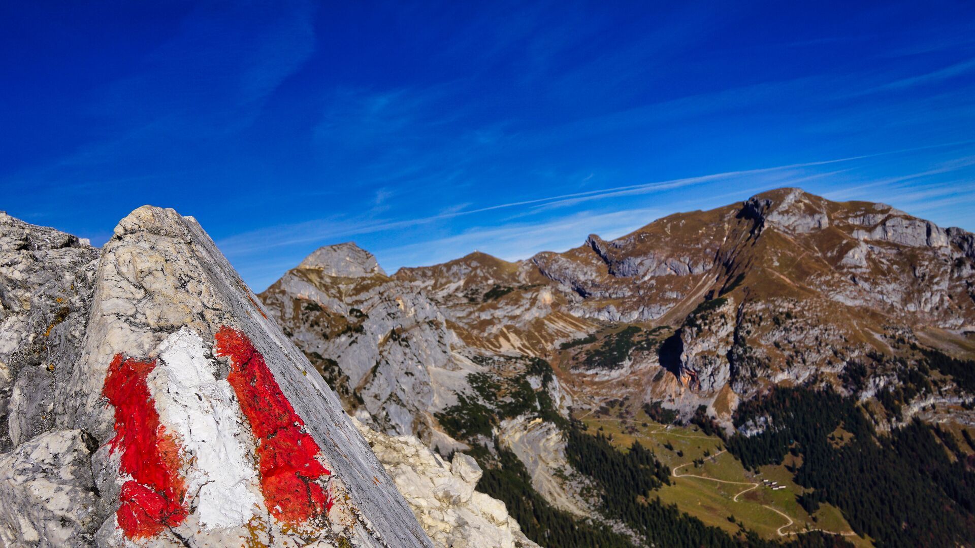
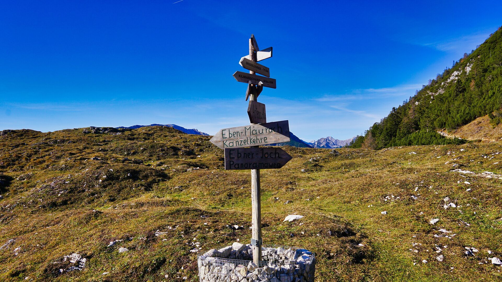

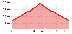
From the car park above the residential and nursing home in Eben, walk across the Achensee main road and follow the signpost “Zur Astenau Alpe”. Climb through the sparse pine forest and follow the trail as it meanders uphill to the Astenau Alpe, where you will be rewarded with splendid views of the Inntal valley. A steep section leads past the mountain hut to a junction. Follow the steep trail as it climbs by way of switchbacks between mountain pines up to the summit of the Ebner Joch (1,957 metres). The return is via the same route.
Take the regional bus (lines 4080 or 8332) to Maurach, district of Eben and get off at the "Eben a. A. Haus St. Notburga" stop.
"Kirche 1" car park in the district of Eben in Maurach (paid parking)


.jpg")


")


")


.jpg")


