
Schwierigkeit:medium
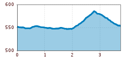
Länge:14.4 kmDauer:6:00 hHöhenmeter bergauf:925 m
Level, short circuit for beginners
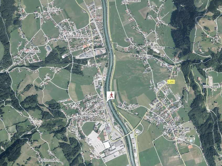
The course runs along the Ziller Stream, toward the north and out of the valley. Past the Hochzillertal Camping Ground and a residential area, the course leaves the banks of the Ziller after approximately 1.4 km and then heads toward the south-west on a slightly uphill gradient until it reaches the town centre of Ried. After passing the parish church and crossing the Riedbach Stream, the course then heads back to Kaltenbach and on to the starting point.
Andi Frank (247).jpg")
Manfred Pfister.jpg")
.jpg")


