Frickler Berg-Round

Schattwald / Allgäu Alps
Route length: 10.8 km
Duration: 1:30 h

Short description:Challenging round over Schattwald and ZöblenTechnique: ******Quality of experience: ******Recommended season:JuneJulyAugustSeptemberOctoberProperties:LoopScenicRefreshment stops availableGeological highlightsBotanical highlightsFaunistic highlightsInsider tip
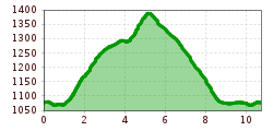
Tour information

  • Length: 10.8 km
  • Duration: 1:30 h
  • Elevation uphill:377 hm
  • Elevation downhill:372 hm
Highest point1,395 m
  • Fitness level 5 / 6

Best time of year

  • January
  • February
  • March
  • April
  • May
  • June
  • July
  • August
  • September
  • October
  • November
  • December
Source: Tannheimer Tal

Description

Description:

Experience the running and Nordic Walking Arena Tannheimer Tal


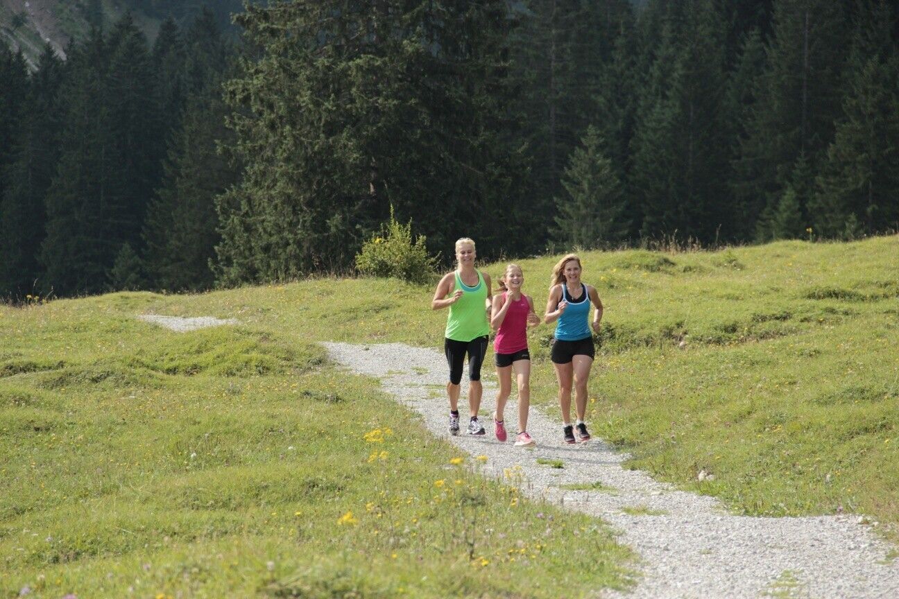
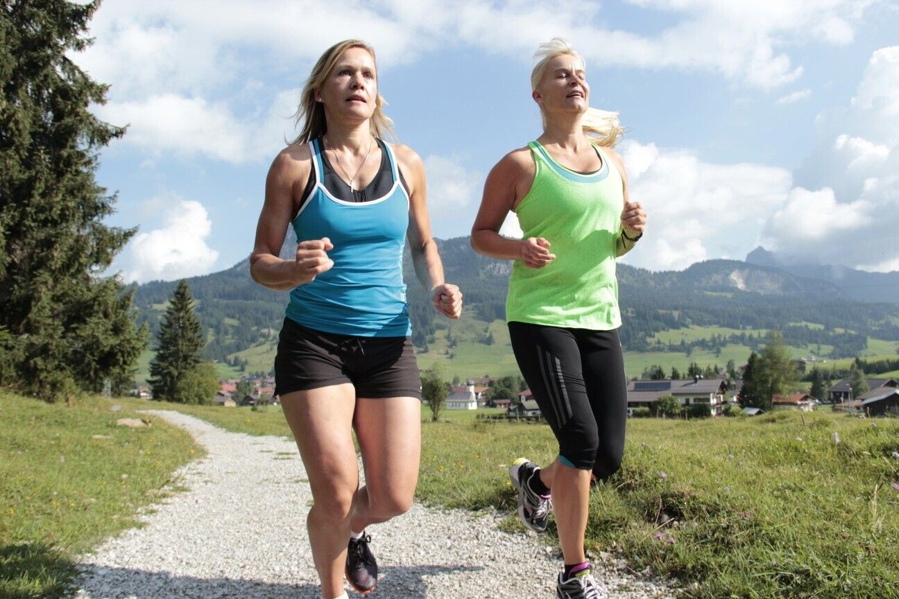
Whether you are a breathless beginner or a well-trained mountaineer: in the Tannheimer Tal everyone who likes to get some fresh air and explore the surrounding mountains on foot gets his money's worth. All active people, from hobby sportsmen to professionals, are spoilt for choice day after day: Tyrol's largest path network offers 26 marked routes which extend over a total of 186 kilometres. Beginner's loops are just as much a part of it as demanding mountain runs. And so that all guests know which route suits their physical condition and requirements, a specially prepared map and small boards provide information about the altitude profile, reason for difficulty and length of the route - the running and Nordic walking map.


Along meadows, over green pastures, along glittering mountain lakes... Walking and running in the Tannheimer Tal is not only the best training for the body, but above all a balm for the soul. The starting points for all those hungry for exercise are in the six villages Tannheim, Grän- Haldensee, Nesselwängle-Haller, Zöblen, Schattwald and Jungholz. From here, walkers, Nordic walkers and runners follow the signs. They are easy to recognize: Male with the sticks. In addition, all routes, as well as ski slopes, are divided into the categories black, red and blue. An optimal marking, which among other things has contributed to the fact that since 2005 the probably most beautiful high valley in Europe can officially call itself "Running and Walking Competence Tower".

Directions:
From the car park in Schattwald towards the west, turn right at the first possibility and follow the Dorfstraße until you reach the church. Continue west and turn right before the village of Kappl and follow the ascending path uphill. At Wiesler Berg keep going east and at the next junctions keep straight on until you reach Zugspitzblick. After the descent over the slagheap through Zöblen and at the western parking lot turn right in western direction via the district Fricken to the church and further to the starting point.Tip:
The view along the whole route is wonderfulSafety guidelines:
It should be noted that running and walking sports may involve an increased risk of accidents and injuries. Despite careful route planning, a basic risk always remains. Tour preparation through endurance sports, appropriate technical training and further education as well as personal prudence will reduce the risk of accidents and injuries. Equipment:
The personal equipment must be safe and serviceable and meet the relevant technical standards. Everyone is recommended to inform themselves about the planned tours in technical literature or on site. Complete equipment is strongly recommended, even for experienced riders!Additional information:
Tourist office Tannheimer Tal

Weather

Today

light rain showers
20°C/10°C
85%21.3l5 km/h

Thu

partly Cloudy
16°C/8°C
30%0l5 km/h

Fri

light rain showers
16°C/8°C
35%1.3l5 km/h
Go to weather forecast

More tours in the surrounding area

Newsletter

The mountain is calling? So does our newsletter!

In our monthly newsletter we reveal the best holiday tips for Tyrol.