

Difficulty:difficult
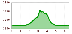
Length:85.1 kmDuration:35:00 hElevation uphill:6,805 m
Short description:A wonderful hike in the heart of the Tannheimer Valley.Quality of experience: ******Recommended season:JanuaryFebruaryMarchAprilMayJuneJulyAugustSeptemberOctoberNovemberDecemberProperties:LoopScenicRefreshment stops availableFamily friendlyGeological highlightsBotanical highlightsFaunistic highlightsDisability access
Description:
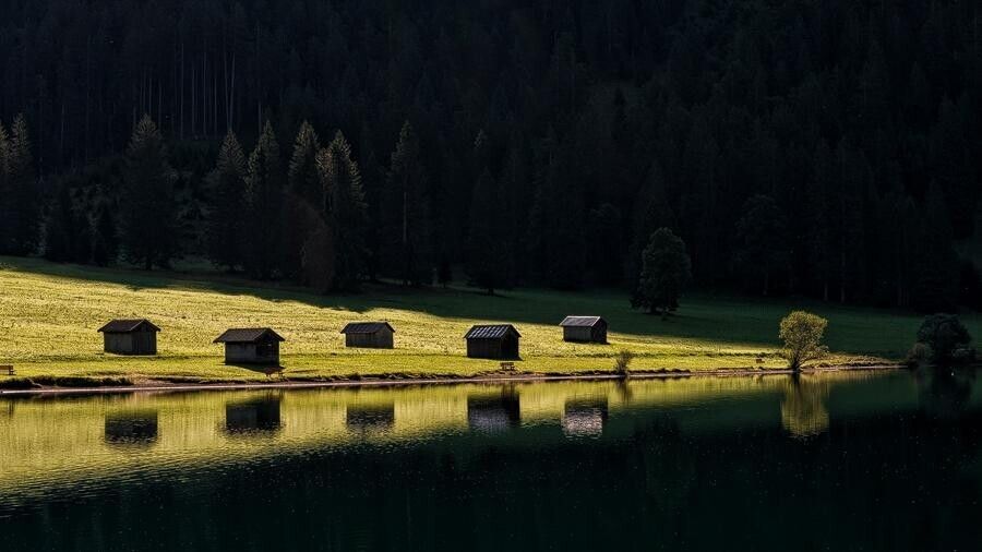
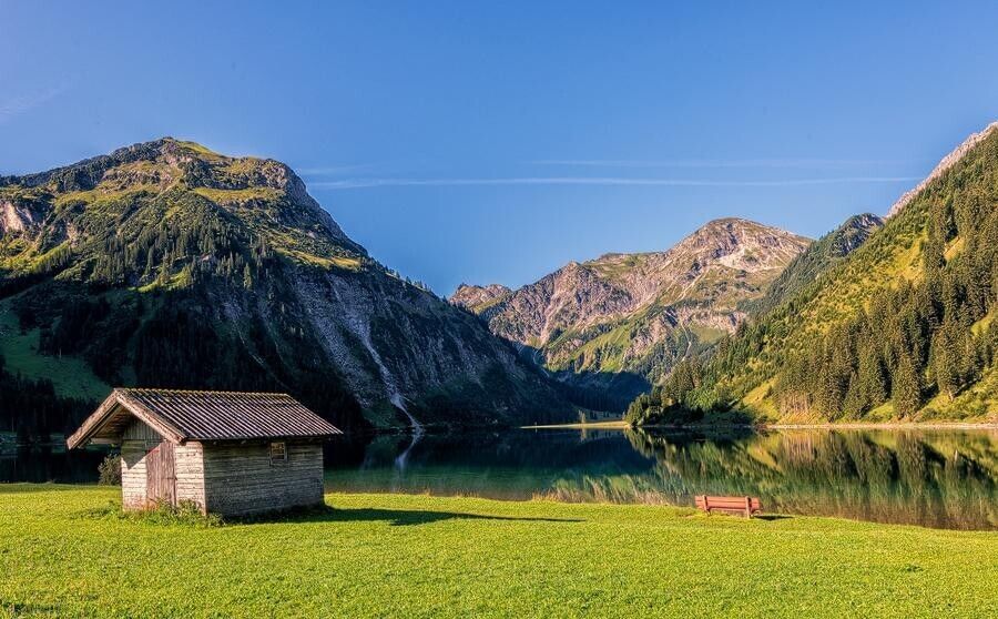
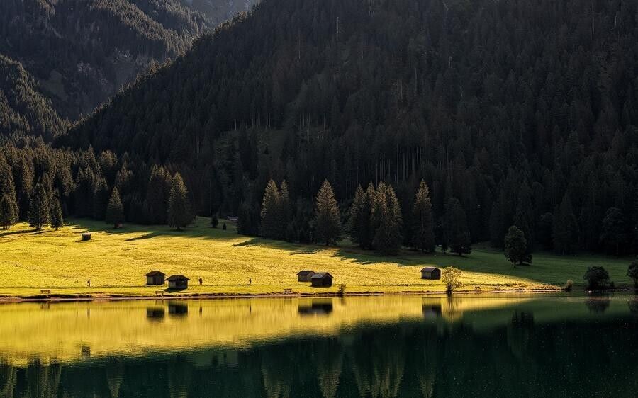
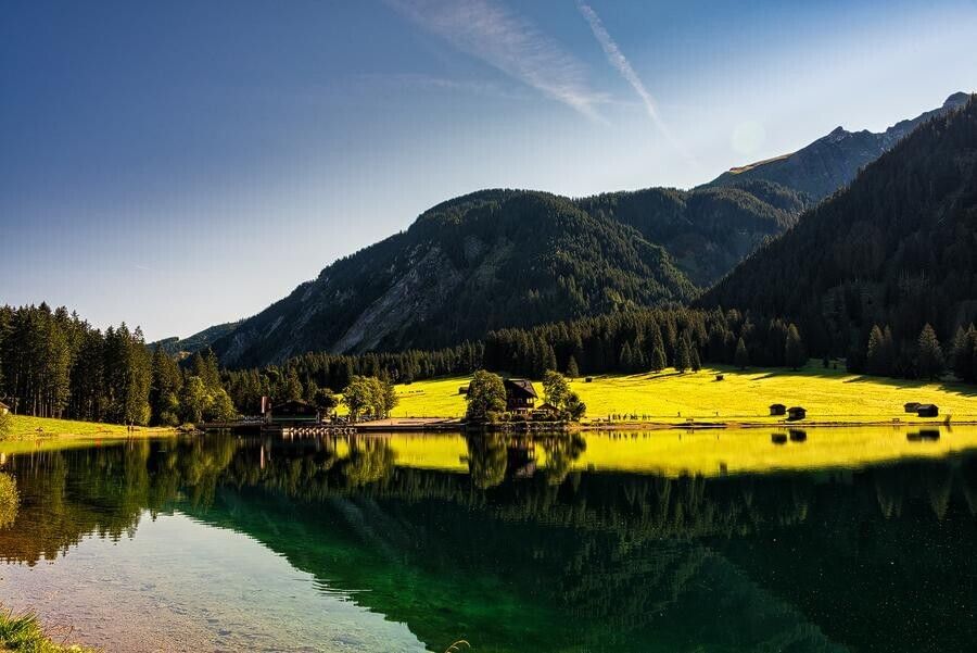
Since the area around the Vilsalpsee has been designated a nature reserve for over 50 years and at the same time is a Natura 2000 area, this hike offers something particularly appealing.
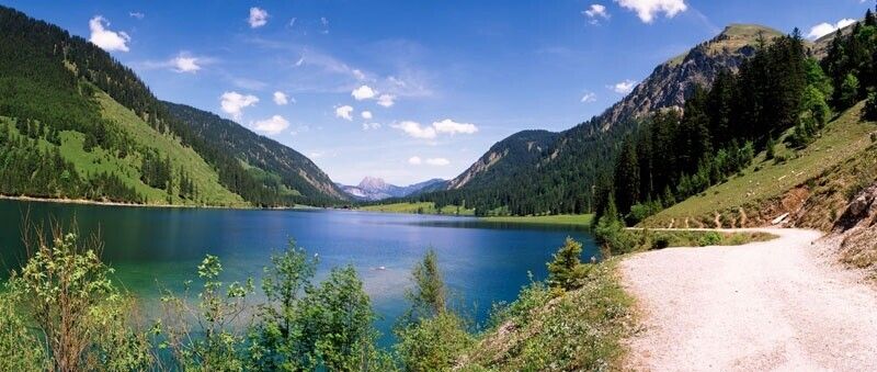
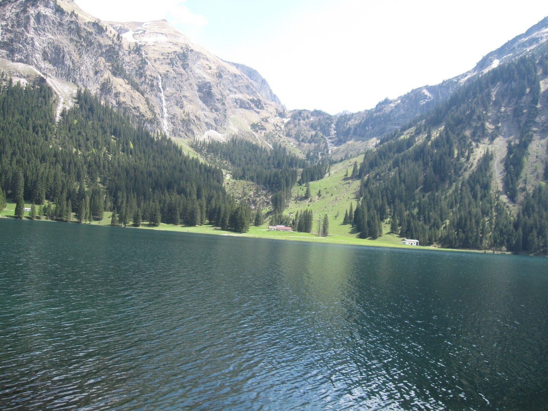
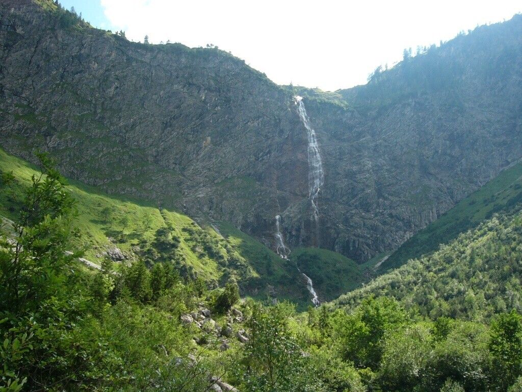
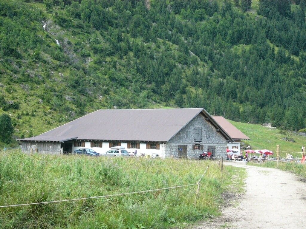
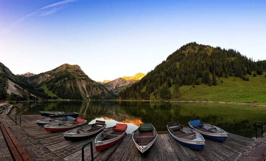
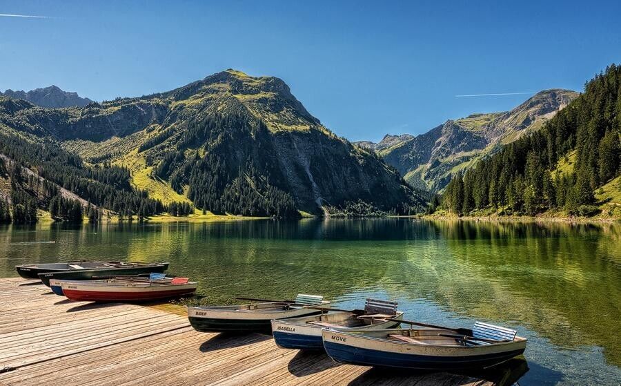
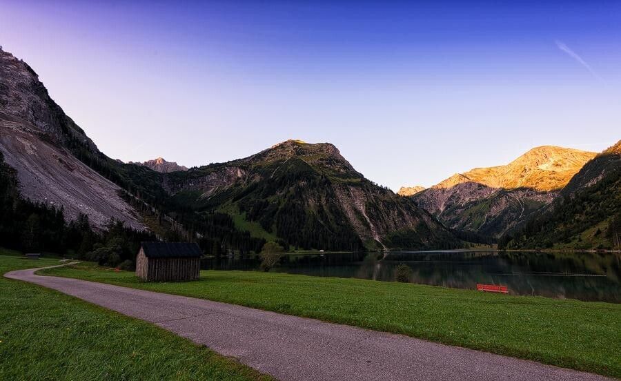
The start and end point is the inn directly at the Vilsalpsee. Going counterclockwise, past the Fischerstube over the bridge, it heads towards Weltlingalpe. The gravel path, wide and easy to walk on, runs on this side of the lake right along the shore. At the far end of the lake is the managed Vilsalpe. From here a circular path leads further to the beautifully situated waterfall "Bergacht". The return goes again over the Vilsalpe and on the same shore side back to the starting point, because the last section of the east shore between the power plant and Vilsalpe is closed due to rockfall danger.Directions:
From the parking lot on the west shore along to the Vilsalpe, further to the Bergacht Waterfall and back to the starting point.Tip:
Worthseeing fauna and flora along the entire route.Safety guidelines:
It should be noted that mountain sports can involve an increased risk of accidents and injuries. Despite careful route planning, a basic risk always remains. Preparation through endurance training, appropriate technical training and further education as well as personal prudence reduces the risk of accidents and dangers. But never forget that the weather in the mountains can change very quickly. Stay on the marked hiking trails.Equipment:
Personal mountain sports equipment must be safe and functional and comply with the respective technical standard. Every hiker is recommended to inform themselves about the planned routes in alpine specialist literature or locally.


